
Træshovden and Svartaberget (20.05.2021)

Skrevet av hbar (Harald Barsnes)

| Startsted | Bjørndalsbakken (42moh) |
|---|---|
| Sluttsted | Tennebekk (48moh) |
| Turtype | Fjelltur |
| Turlengde | 1t 31min |
| Distanse | 4,5km |
| Høydemeter | 245m |
| GPS |
|
| Bestigninger | Svartaberget (194moh) | 20.05.2021 |
|---|---|---|
| Træshovden (119moh) | 20.05.2021 | |
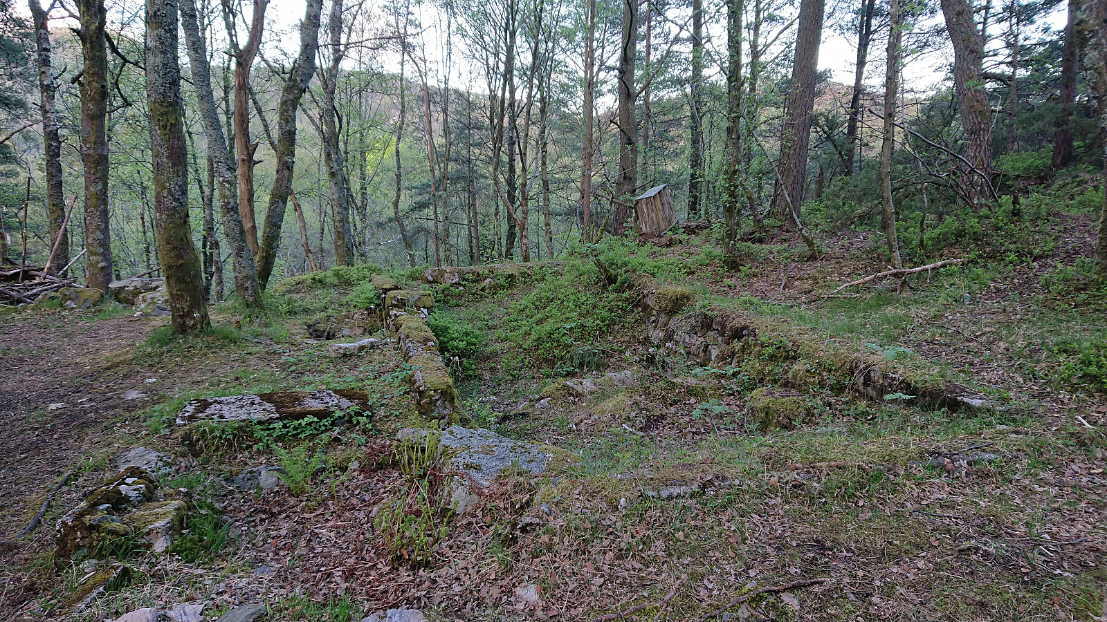
| Andre besøkte PBE'er | Kjeta (ruin) (114moh) | 20.05.2021 |
Træshovden and Svartaberget
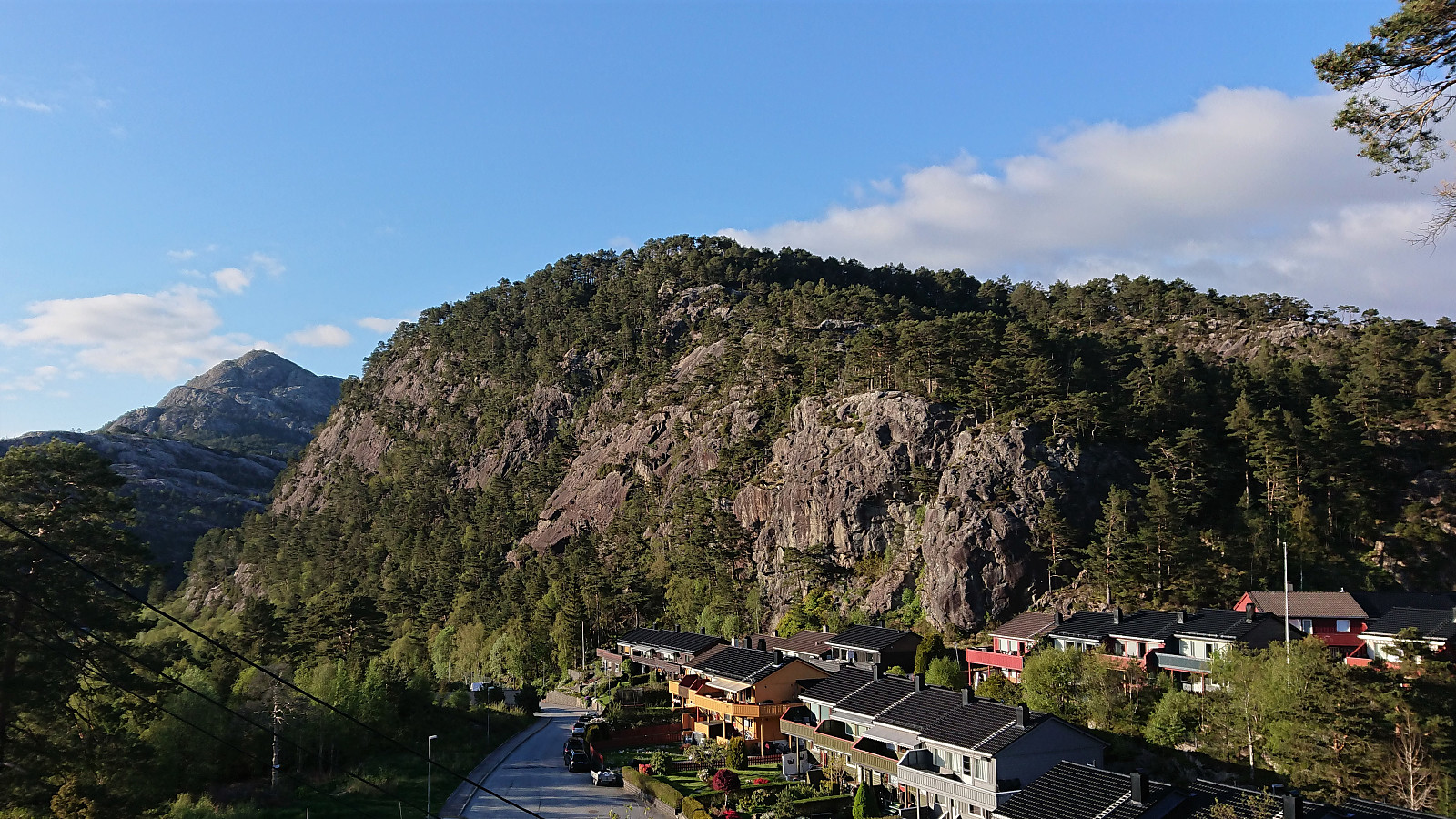
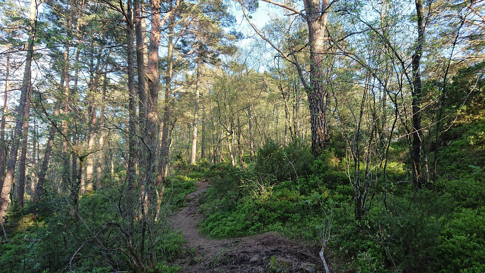
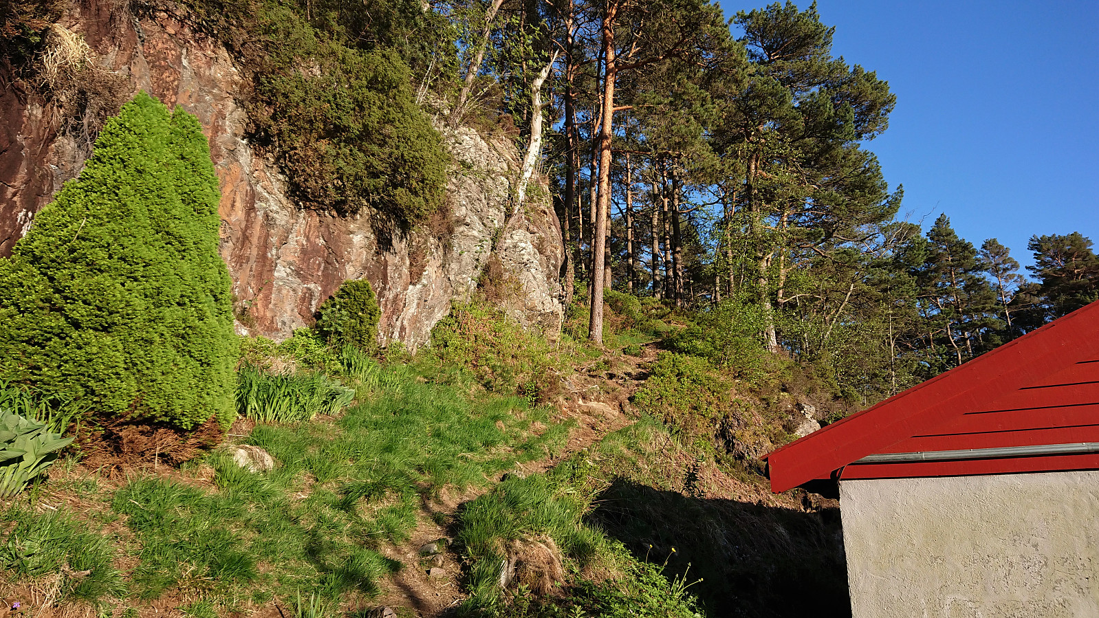
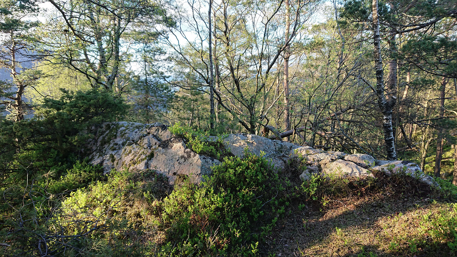
Short evening hike with the main goal of visiting Træshovden. Instead of taking the most direct route to the summit, I first followed a trail along the ridge west of Ravnestølen, which later connected with the main trail to the summit. Overall relatively limited views from this minor detour, except for at the start when one could look back at Svartaberget and Lyderhorn. There was also one spot with good views towards the west, which is more than can be said of the summit of Træshovden.
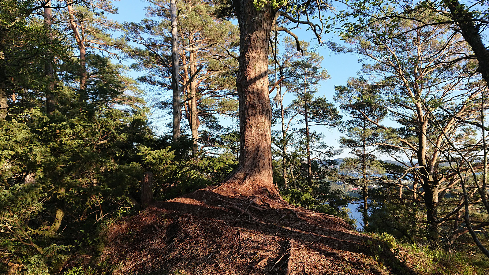
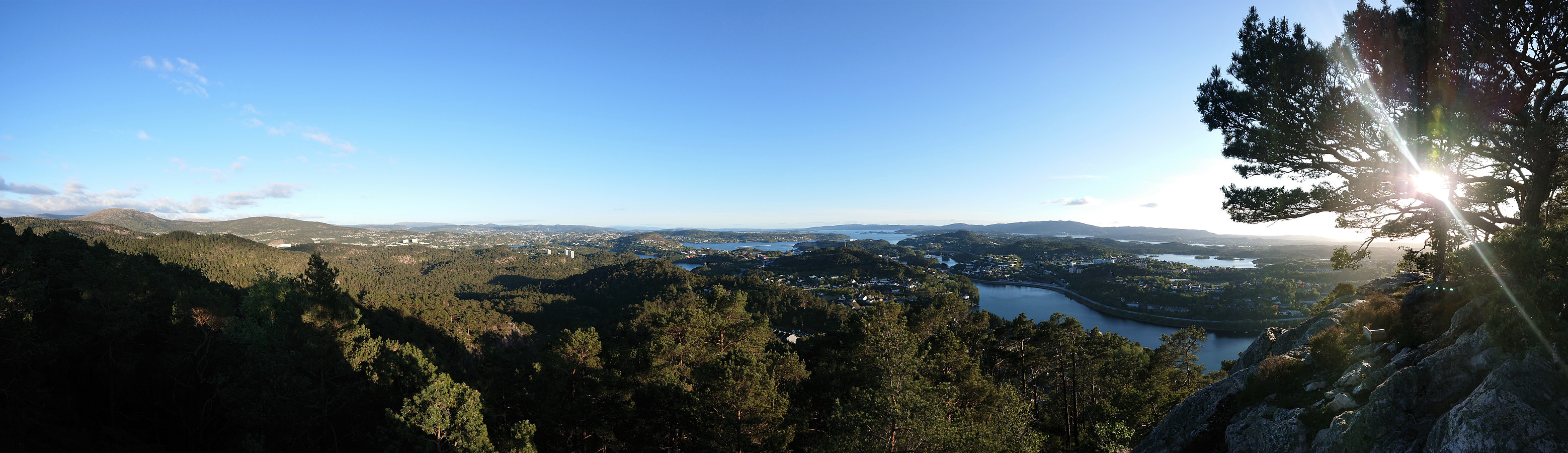
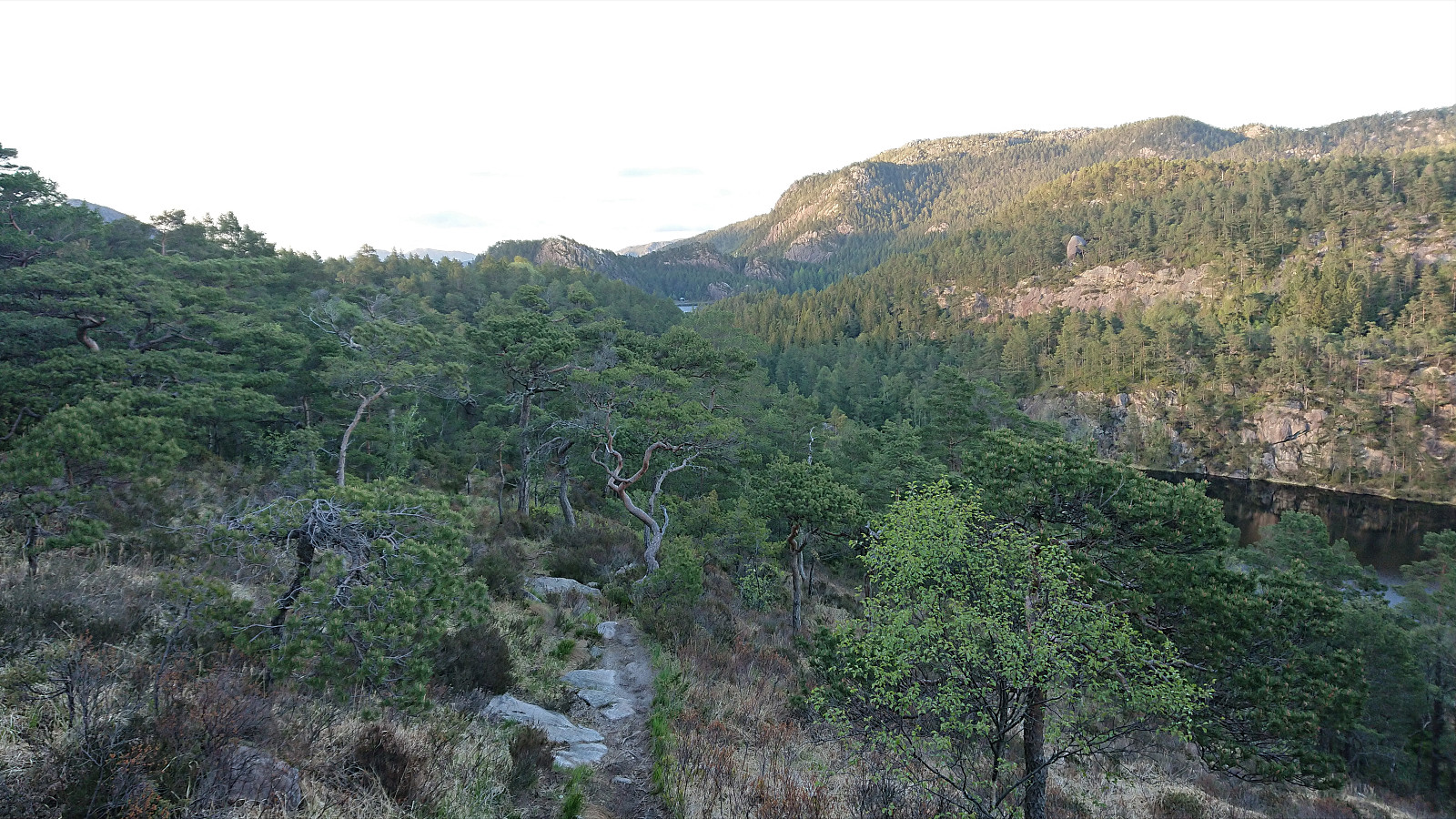
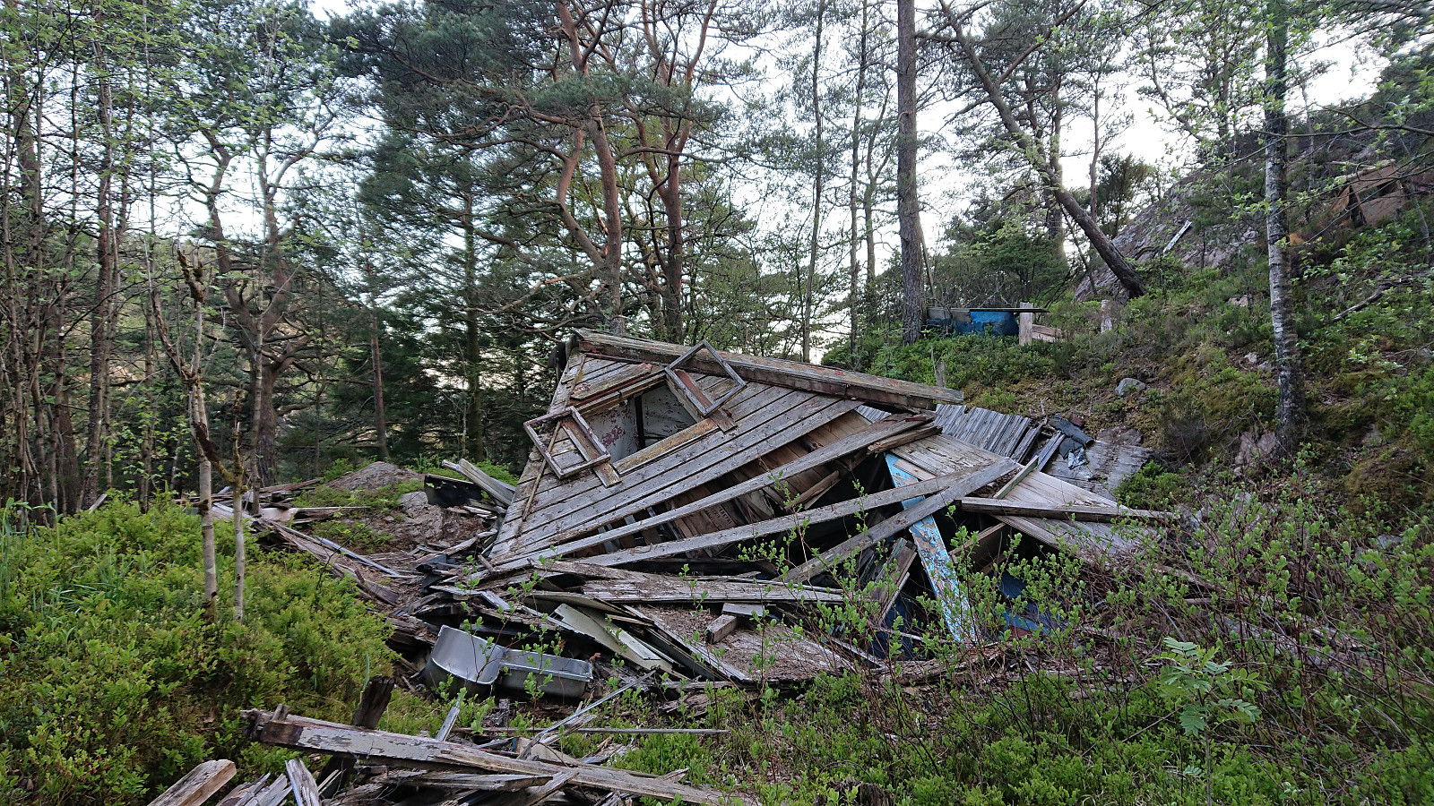
After returning to Ravnestølen, I made a revisit of Svartaberget, given that the views on my previous visit had been far from optimal. Today there were close to no clouds and I could fully enjoy the spectacular panoramic views! From the summit, I followed a trail towards the northern starting point of Knappetunnelen, passing by two of the four cabin ruins that Kjell51 (Kjell Øijorden) discovered a month earlier.
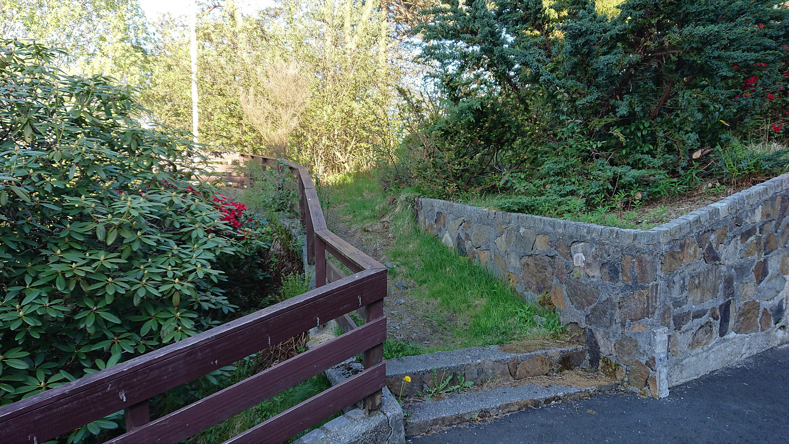
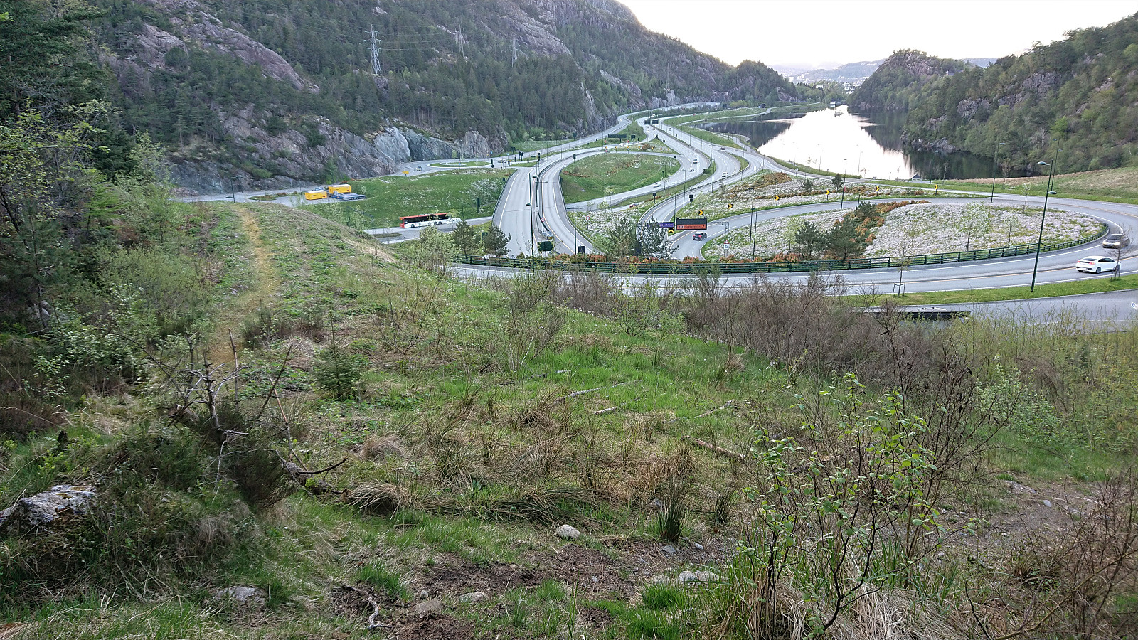
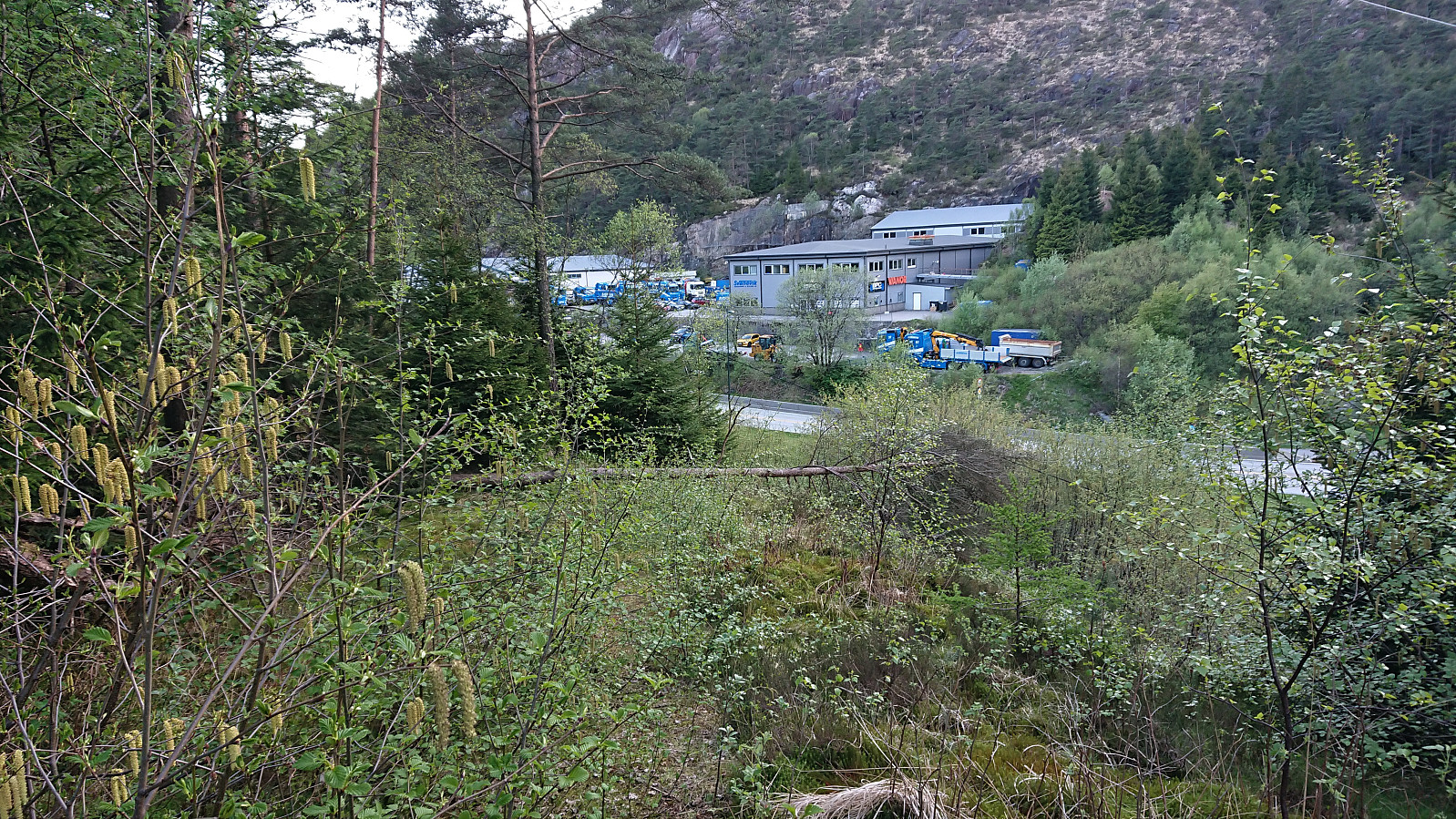
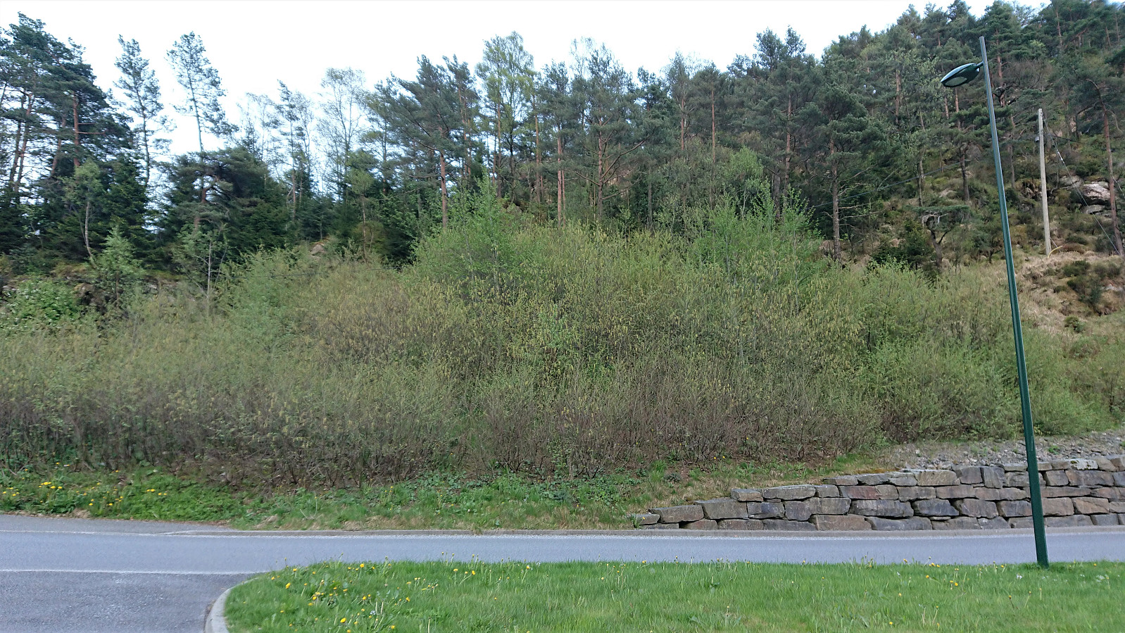
When getting close to the main road, I tried to followed an old road/trail that was indicated on the map. The first part was ok, but it soon became clear that this route is not very frequently used anymore, and before reaching the road it even disappeared completely. Thus it is probably easier to instead follow the more commonly used trail heading east.
| Starttidspunkt | 20.05.2021 19:53 (UTC+01:00 ST) |
| Sluttidspunkt | 20.05.2021 21:24 (UTC+01:00 ST) |
| Totaltid | 1t 31min |
| Bevegelsestid | 1t 26min |
| Pausetid | 0t 4min |
| Snittfart totalt | 3,0km/t |
| Snittfart bevegelsestid | 3,1km/t |
| Distanse | 4,5km |
| Høydemeter | 244m |


Kommentarer