
Tellevikafjellet and Veten from Salhus (08.05.2021)

Written by hbar (Harald Barsnes)

| Start point | Slettebakken, Salhus (59m) |
|---|---|
| Endpoint | Slettebakken, Salhus (57m) |
| Characteristic | Hillwalk |
| Duration | 5h 46min |
| Distance | 21.1km |
| Vertical meters | 1,025m |
| GPS |
|
| Ascents | Bjørndalsrindane (375m) | 08.05.2021 |
|---|---|---|
| Tellevikafjellet (395m) | 08.05.2021 | |
| Veten i Åsane (486m) | 08.05.2021 | |
| Visits of other PBEs | Hellegrind (199m) | 08.05.2021 |
| Milastemma (211m) | 08.05.2021 | |
| Tellevikafjellet søyle (390m) | 08.05.2021 | |
| Veten i Åsane - merka sti fra vest (230m) | 08.05.2021 |
Tellevikafjellet and Veten from Salhus
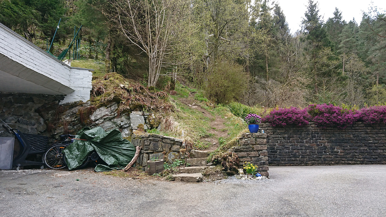
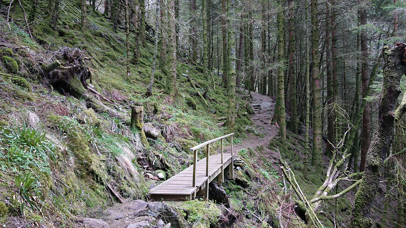
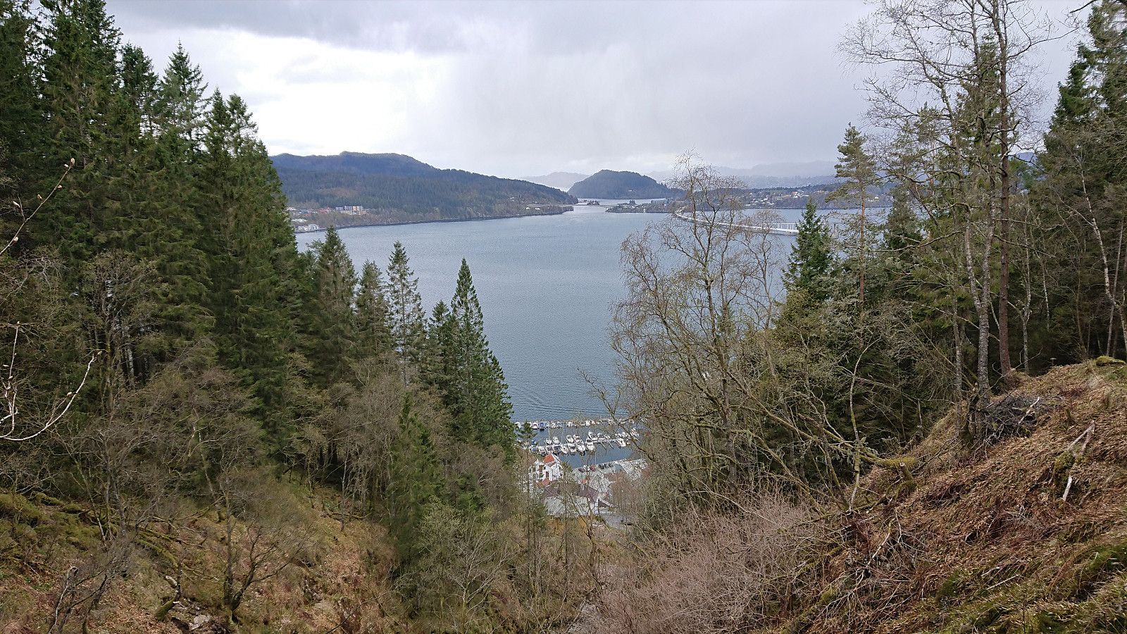
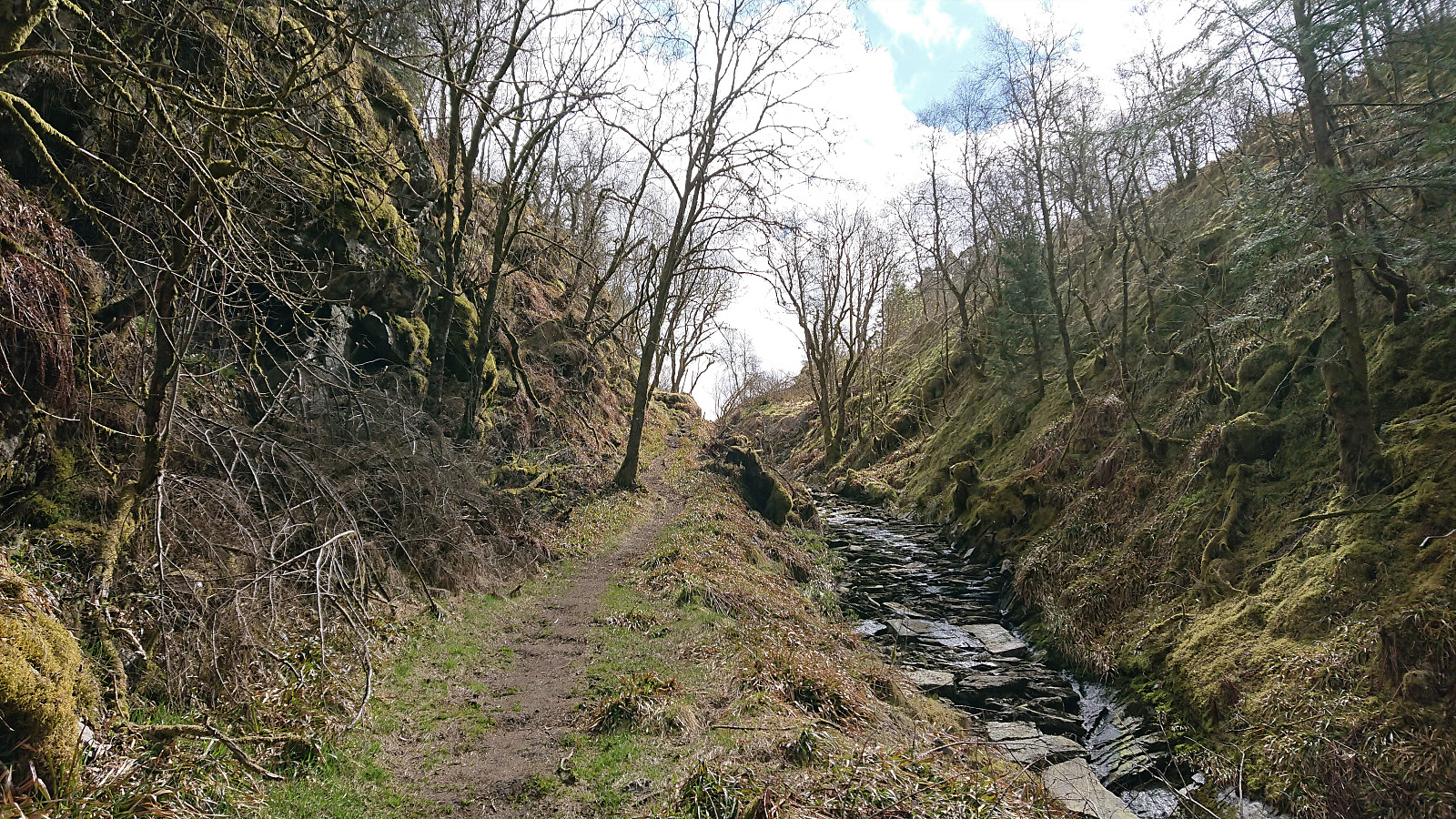
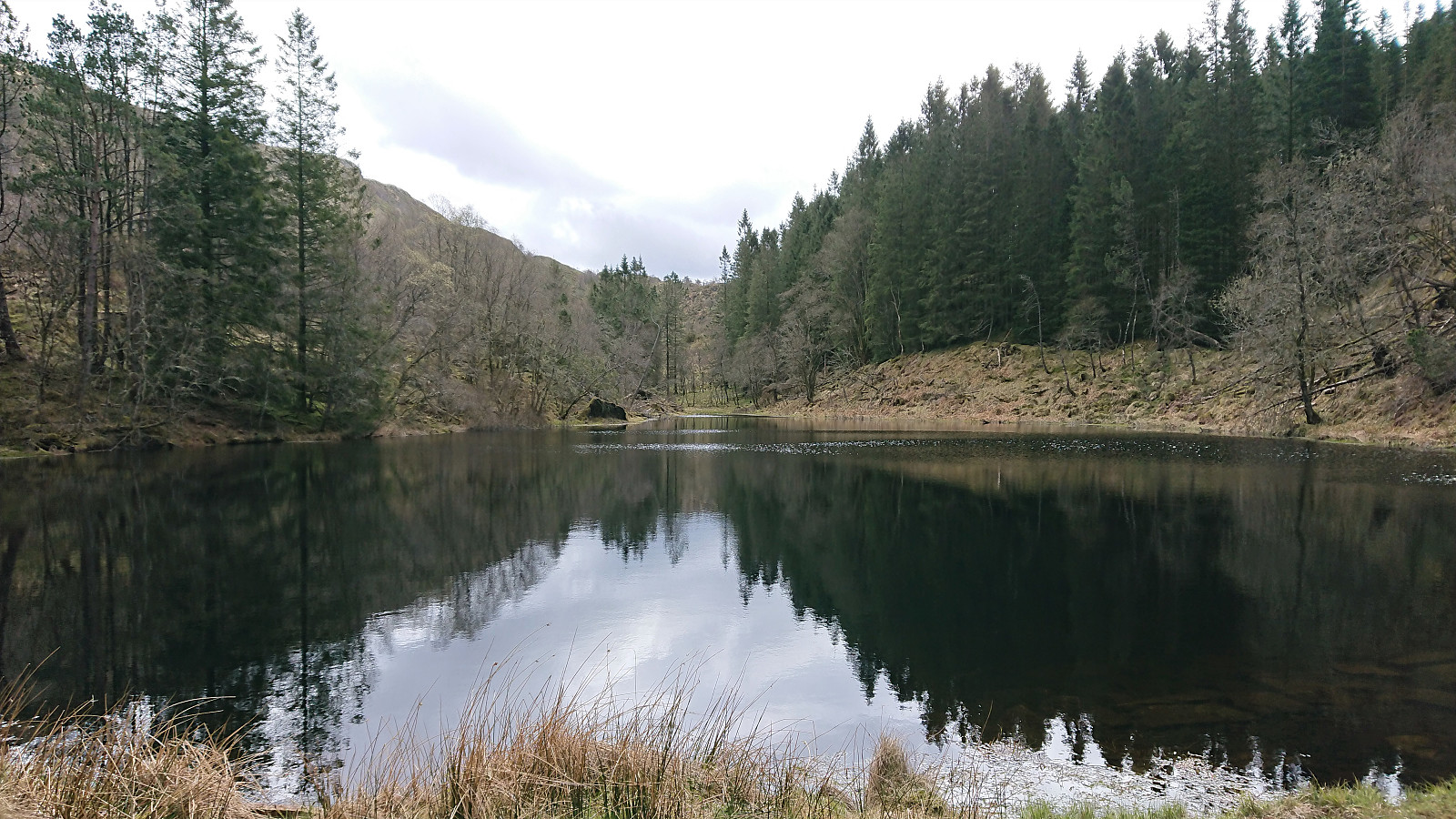
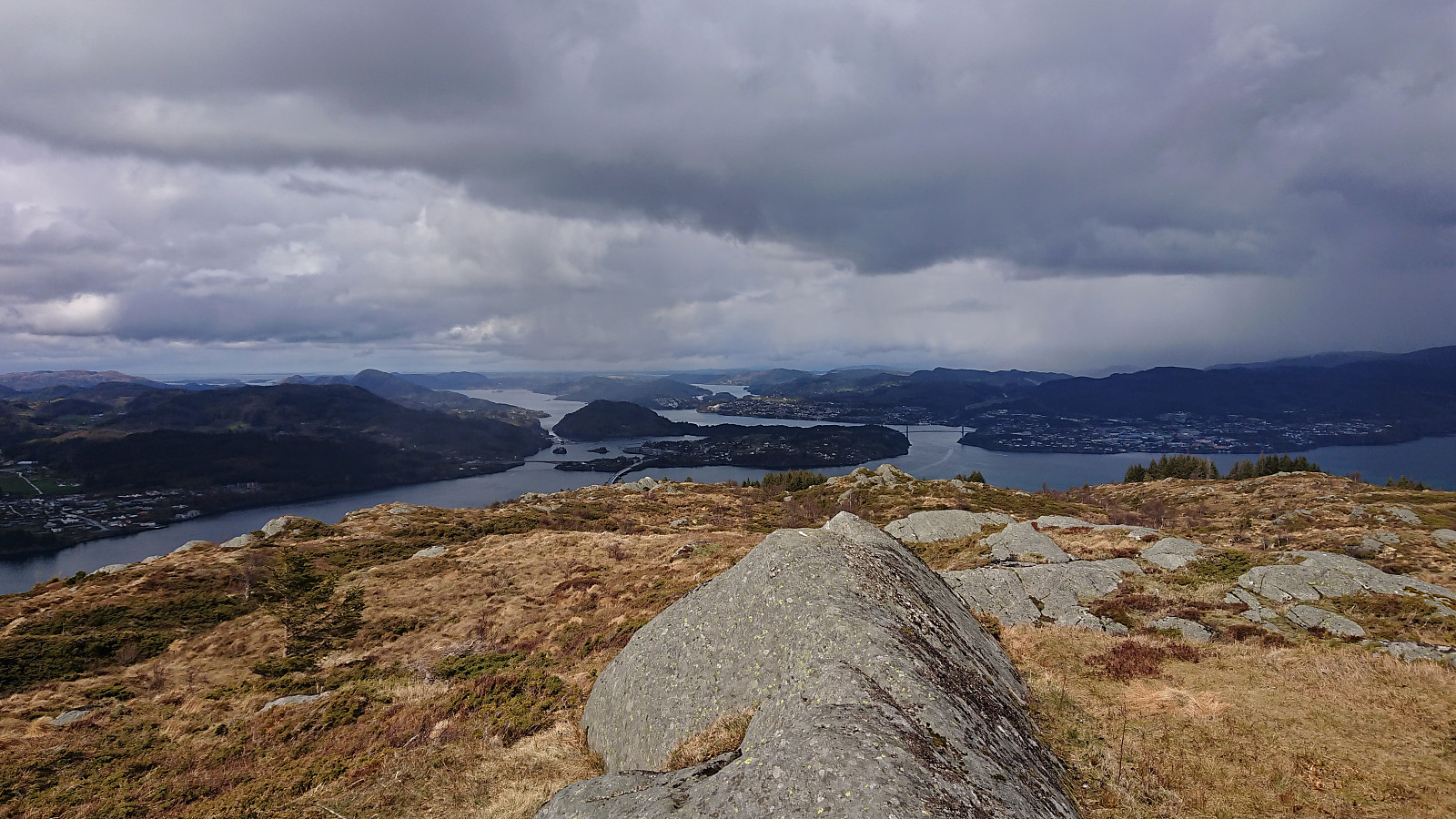
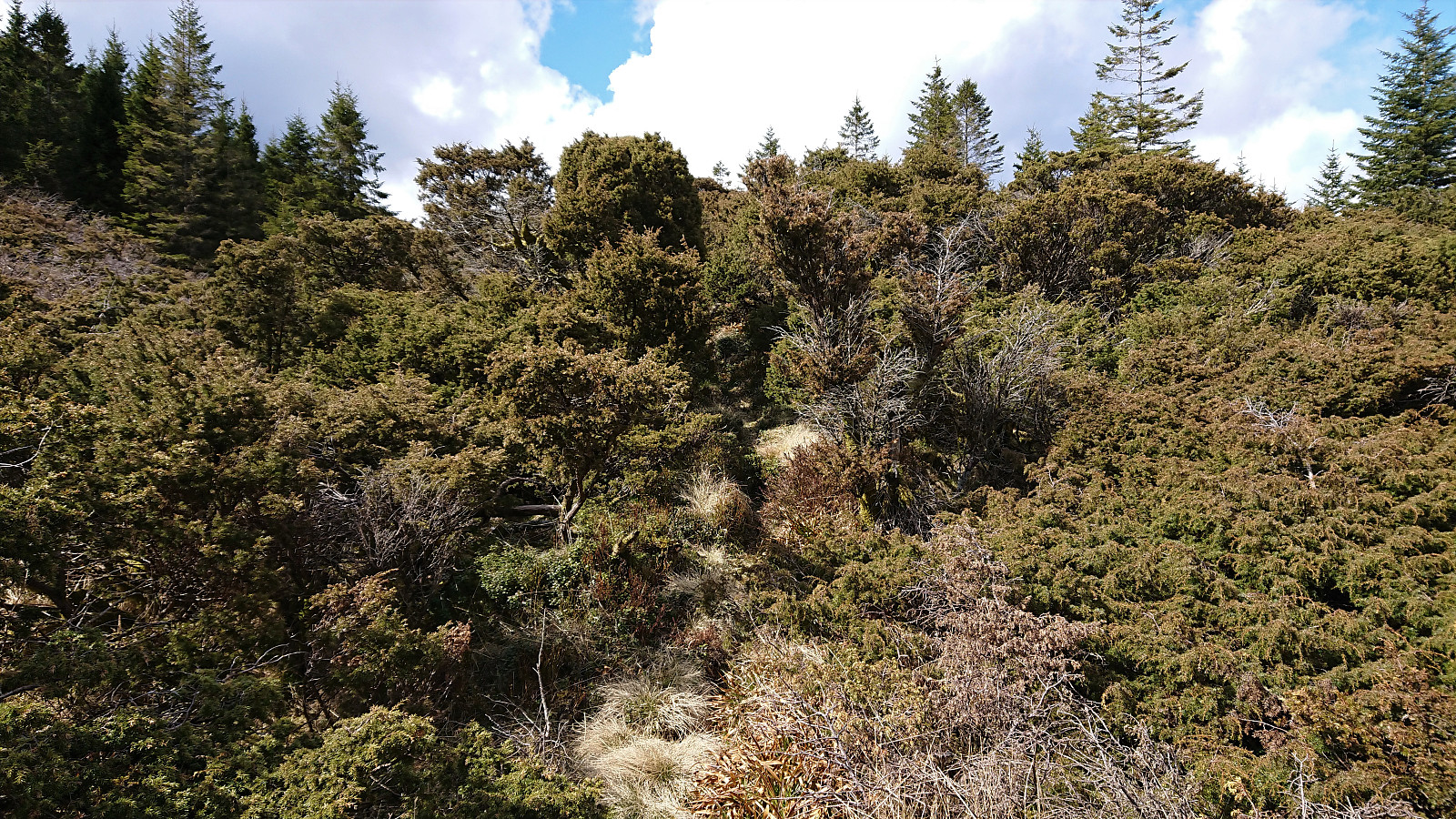
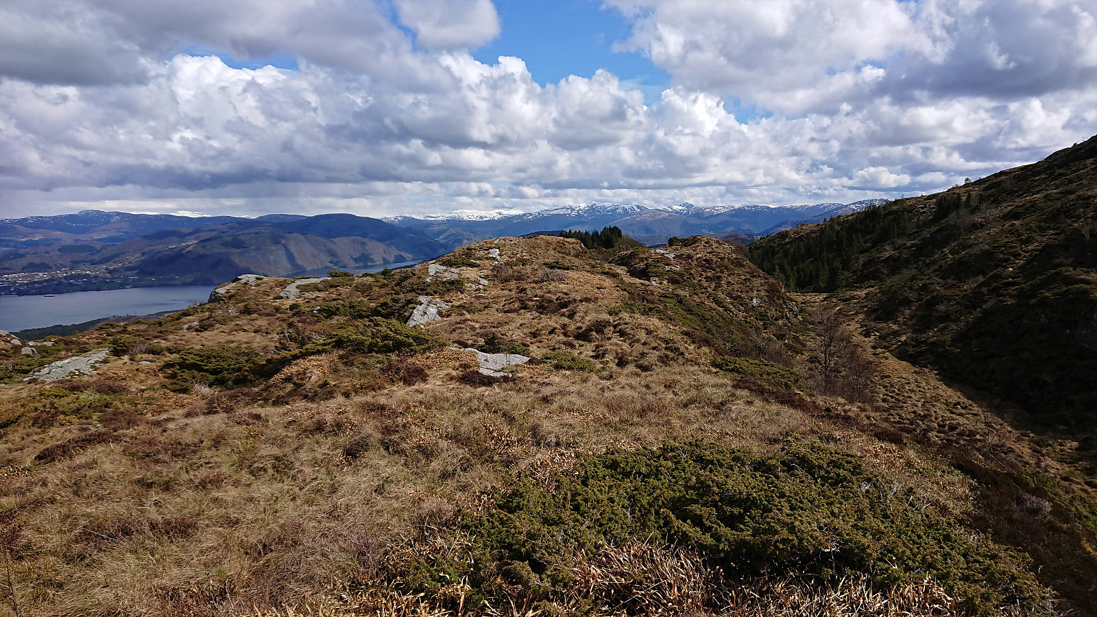
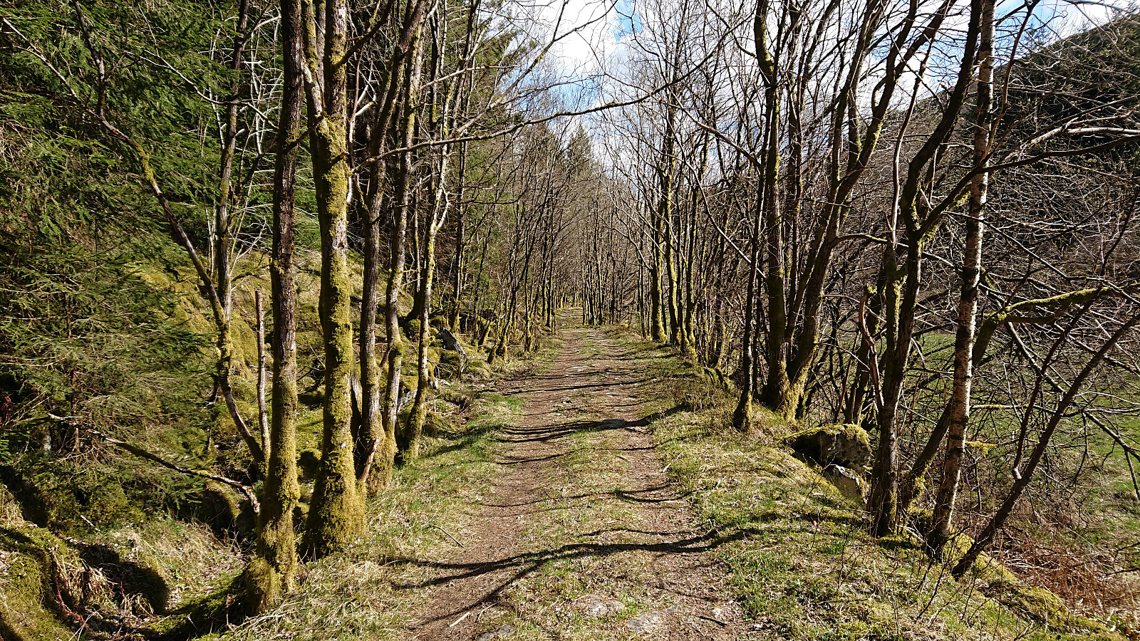
The goal of this hike was to ascend Tellevikafjellet from Salhus. I therefore started by taking the bus to Salhus and the bus stop called "Slettebakken Tellevikvegen", which happened to be less than 200 meters from the unmarked trailhead at the end of a short side road that started directly from the bus stop. The trail was of good quality, even included several wooden bridges, and could easily be followed. At the third bridge, the trail split, and I followed the option heading southeast along the river up to Milastemma.
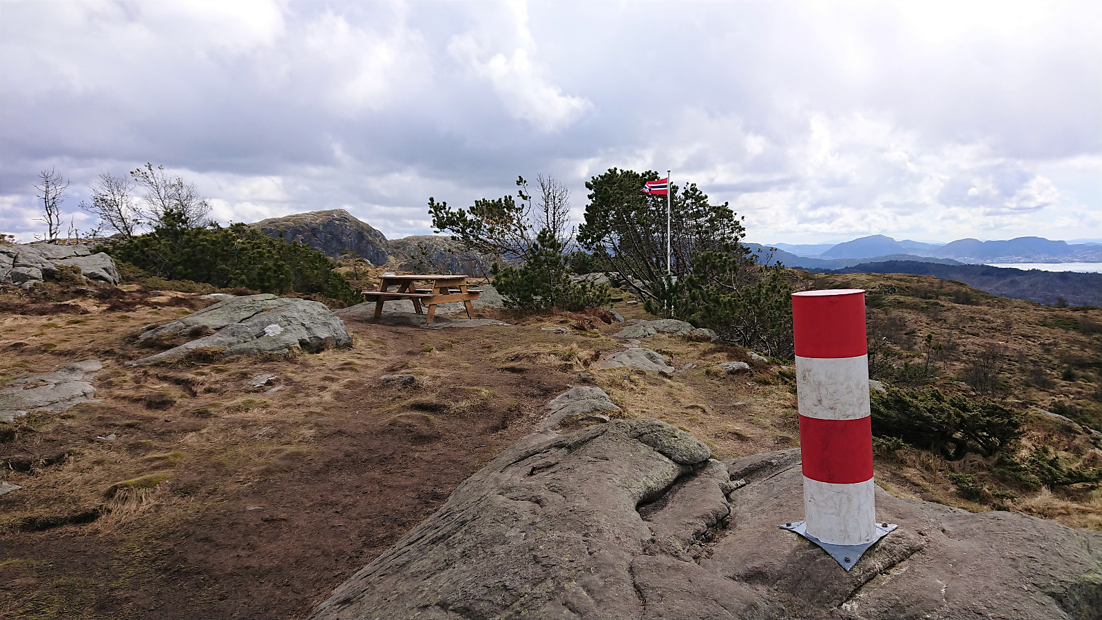
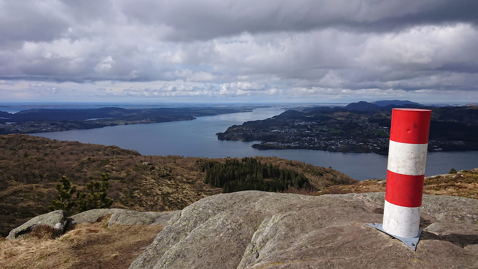
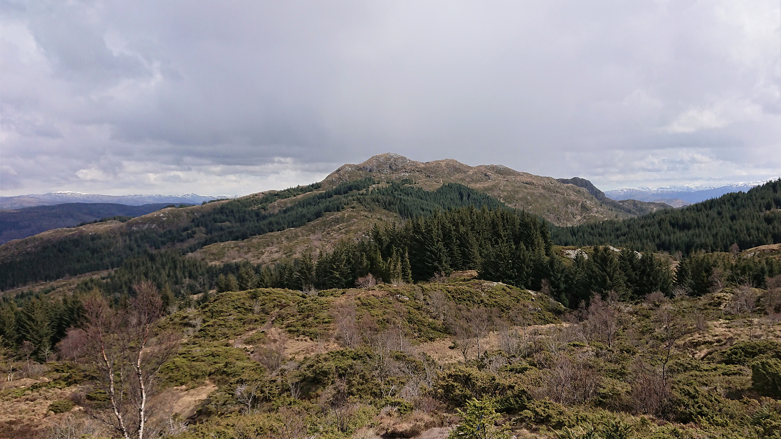
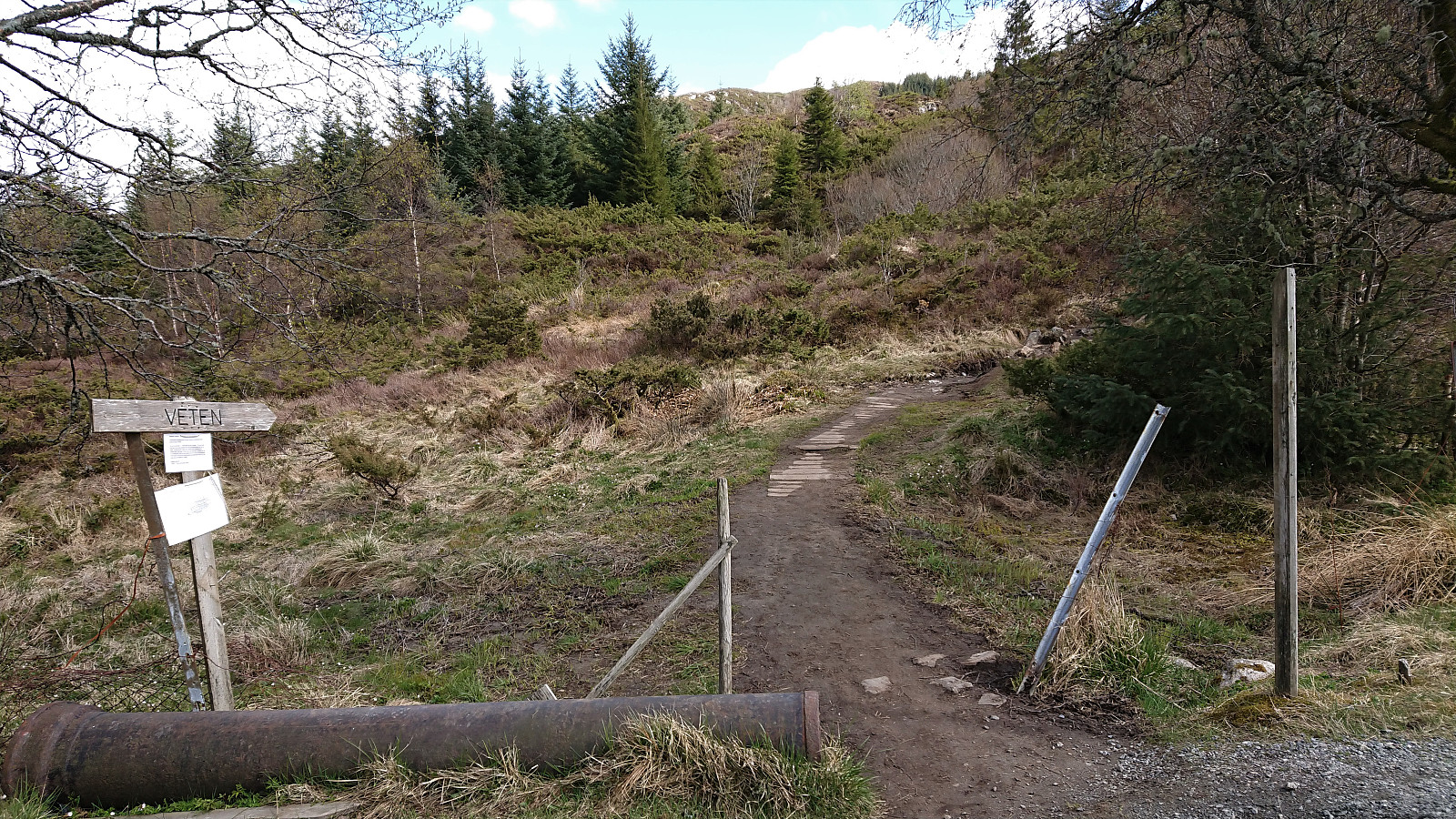
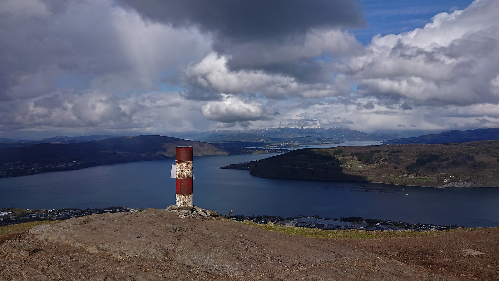
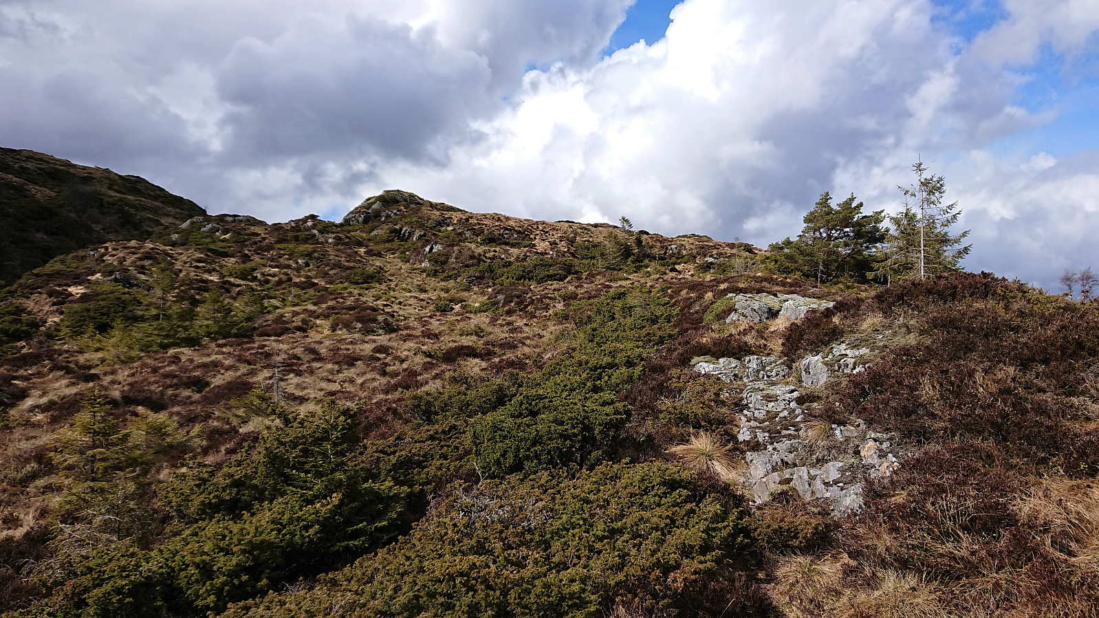
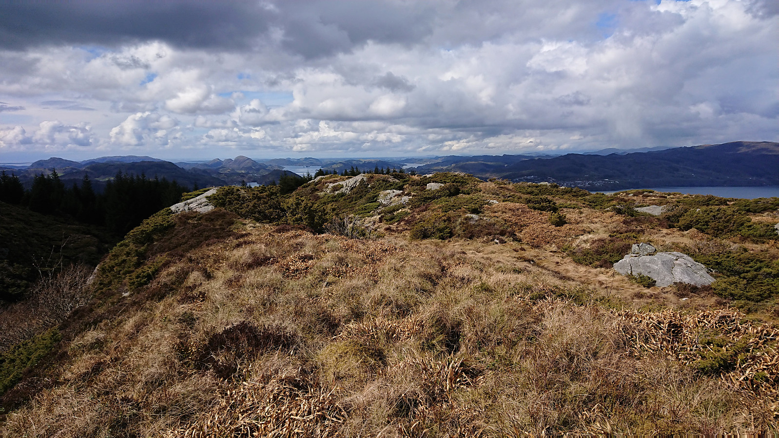
Halfway in between Milastemma and Tellevikafjellet, I saw the tail end of the first viper, i.e. hoggorm, of 2021 as it disappeared into its hiding place close to the trail. It would not be the last of the hike though, but more on that later... After visiting both the trig marker at Tellavikafjellet and the summit itself, I continued east along the trails down to Falkanger, where I started the ascent to Veten. This was also a new ascent route for me, and again a positive experience.
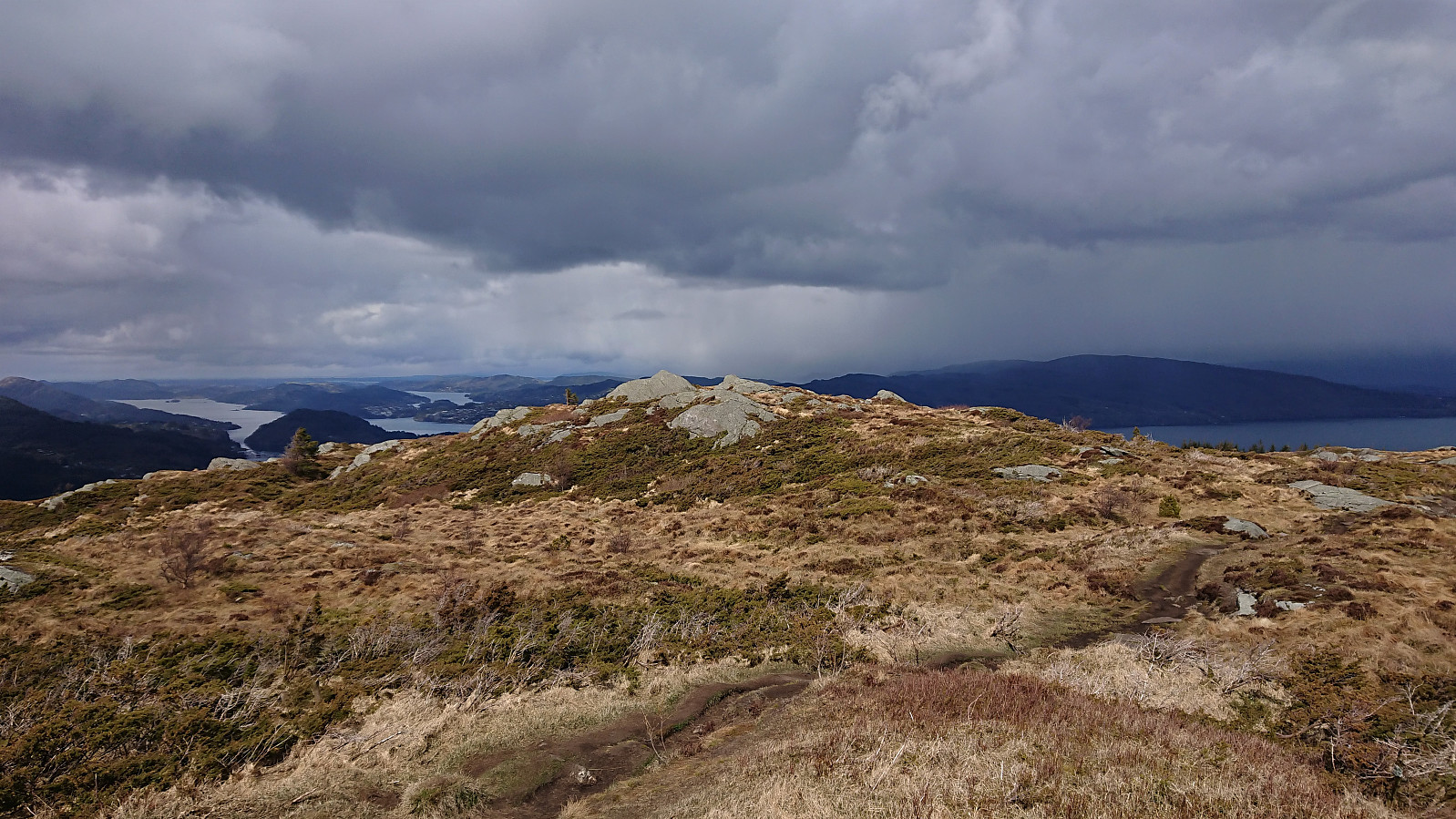
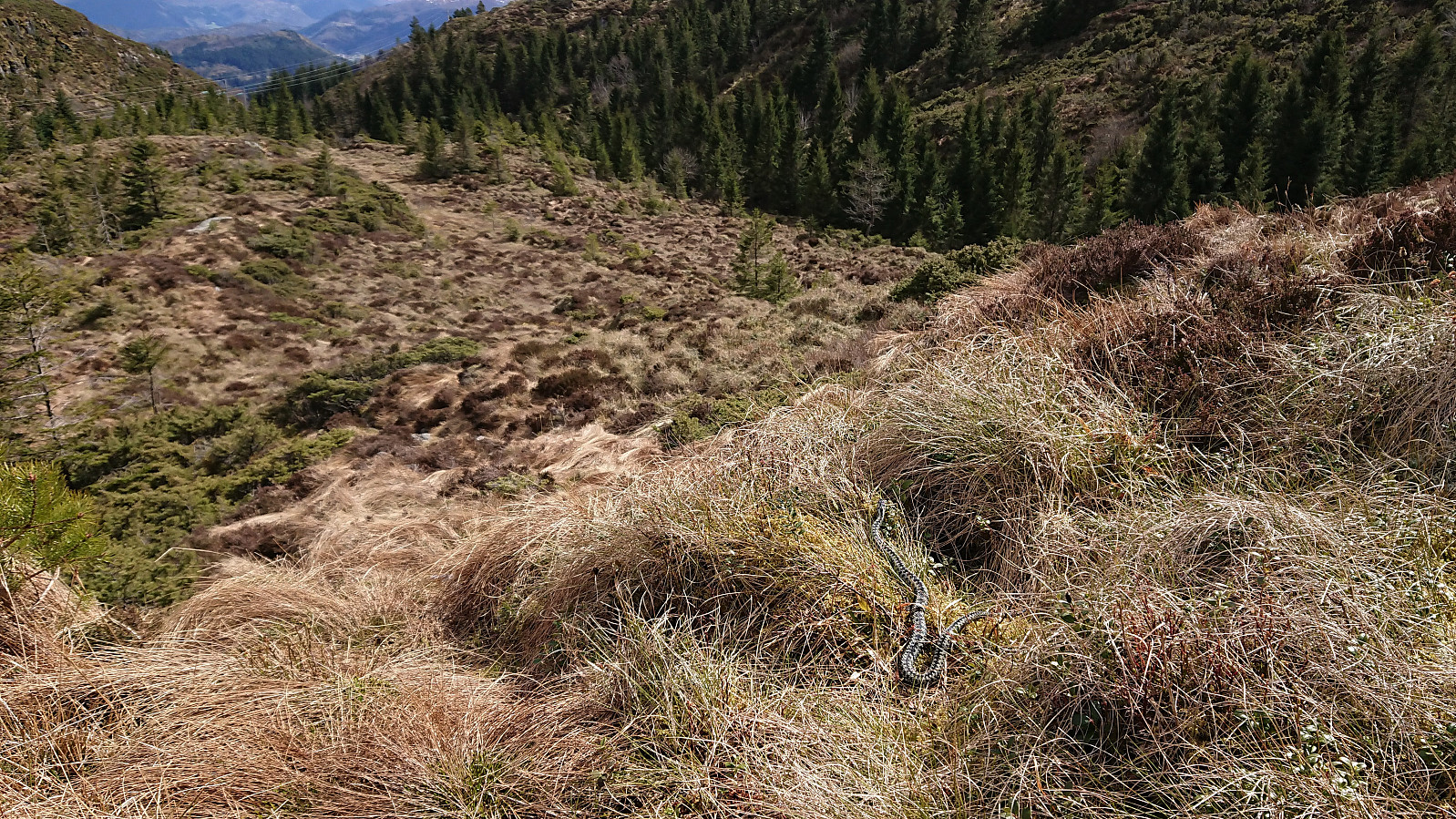
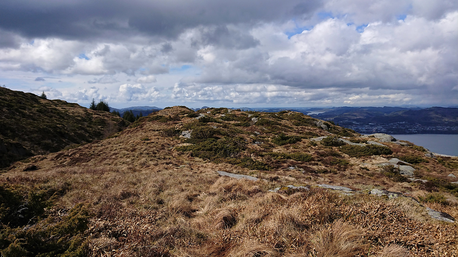
On the descent from Veten I made a detour to Bjørndalsrindane. First descending towards Storsåta and then following a weak trail northwest. The trail towards Bjørndalsrindane was clearly not seeing much use, but it did make it easier to progress towards the summit. However, as I was getting closer to the summit, the already weak trail disappeared completely. Which of course was combined with me spotting the second viper of the day. This one lingering long enough for me to take a picture.
The possibility of more vipers hiding in the grass was therefore very much on my mind as I made the final push towards the summit. I also continued to the alternative summit less than 150 meters to the northwest. But as I here came across the third viper of the day, and this one even better hidden, I turned back and made my best attempt at retracing my steps to the proper trail below Storsåta. I do not think I have been this happy to reach a trail since my previous encounter with hidden vipers at Lundåsane four years earlier...
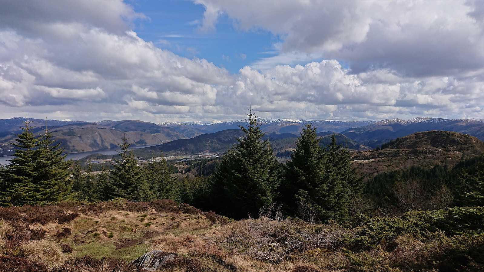
After finally reconnecting with the proper trail, I followed it down to Sæterstøl, from where the hike was concluded by walking home along the roads to Lønborg. (Note that this last transportation stage accounts for more than 50% of the distance of the complete hike.) In summary, a very nice hike that can be highly recommended, especially the ascent from Salhus to Tellevikafjellet. Bjørndalsrindane I would recommend skipping altogether though, unless one is very keen on close encounters with partially hidden vipers of course… ;)

| Start date | 08.05.2021 12:58 (UTC+01:00 DST) |
| End date | 08.05.2021 18:44 (UTC+01:00 DST) |
| Total Time | 5h 46min |
| Moving Time | 5h 17min |
| Stopped Time | 0h 28min |
| Overall Average | 3.7km/h |
| Moving Average | 4.0km/h |
| Distance | 21.1km |
| Vertical meters | 1,025m |


User comments
Certainly not an endangered
Written by Stigun 10.05.2021 17:29species, the common adder or viper, when you encounter three individual ones on the same hike! The section with boulders and rocks just after leaving Trondhjemske Postvei starting the ascent of the southern/southwestern flank of Veten is also a common place too see vipers.
Re: Certainly not an endangere
Written by hbar 10.05.2021 18:30As far as I understand "hoggorm" is not actually listed as endangered, but rather as "livskraftig". I guess the protection is mainly there so that people do not go head and kill it based on (mostly) unreasoned fear if coming across one.
Sv: Re: Certainly not an endan
Written by Stigun 10.05.2021 19:18Yes; probably so. Btw; quite a "heavy" hike you made the other day, congrats!
Re: Sv: Re: Certainly not an e
Written by hbar 10.05.2021 21:59Takk! Selv om jeg ikke er helt sikker på hvilken tur du tenker på? :)
Impressive! :-)
Written by HHauser 09.05.2021 20:42For a longer time, I thought about starting a hike in Salhus -- nice to read your report! Three snakes (and probably more unseen ones) -- early out, already? The hike up to Veten from Falkanger is indeed worth doing -- I like this route, also! :-)
Re: Impressive! :-)
Written by hbar 09.05.2021 23:46Thanks! Yes, the hike up from Salhus can very much be recommend. Although knowing you, you will probably want to find your own off-trail route including a bit of climbing instead of following the nice trail..? ;)