
Utapåegga and Skylefonnstølen (05.05.2021)

Written by hbar (Harald Barsnes)

| Start point | Utapåegga p-lomme (61m) |
|---|---|
| Endpoint | Utapåegga p-lomme (61m) |
| Characteristic | Hillwalk |
| Duration | 2h 54min |
| Distance | 5.8km |
| Vertical meters | 593m |
| GPS |
|
| Ascents | Utapåegga (599m) | 05.05.2021 |
|---|---|---|
| Visits of other PBEs | Skylefonnstølen (641m) | 05.05.2021 |
| Utapåegga p-lomme (61m) | 05.05.2021 |
Utapåegga and Skylefonnstølen
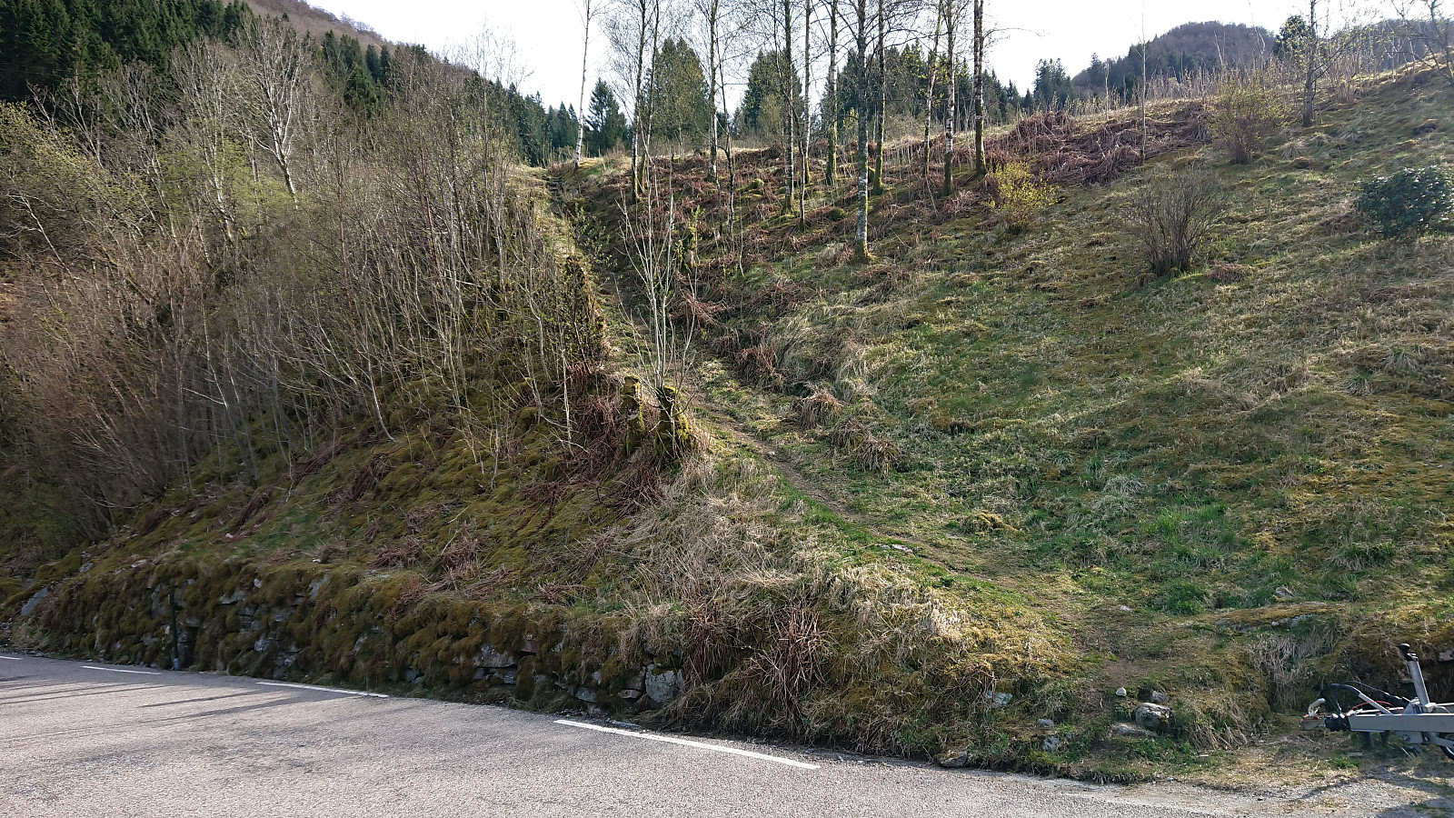
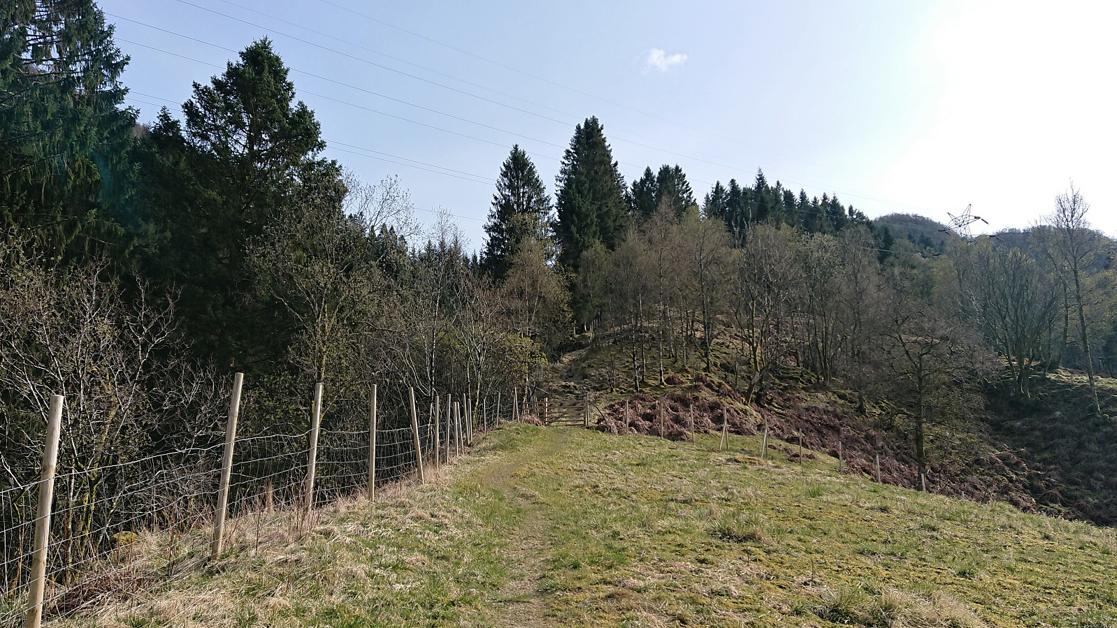
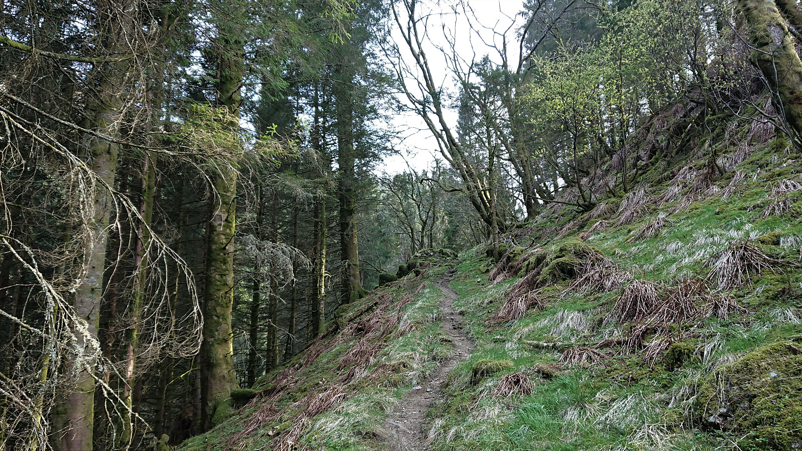
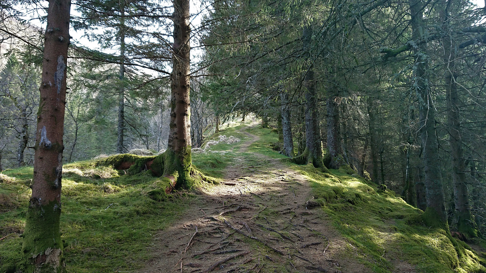
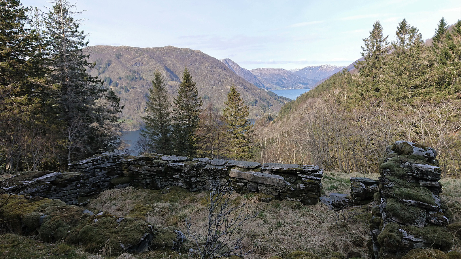
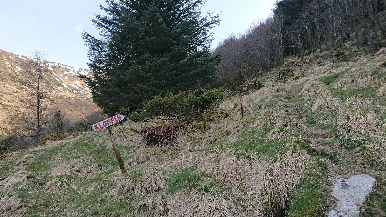
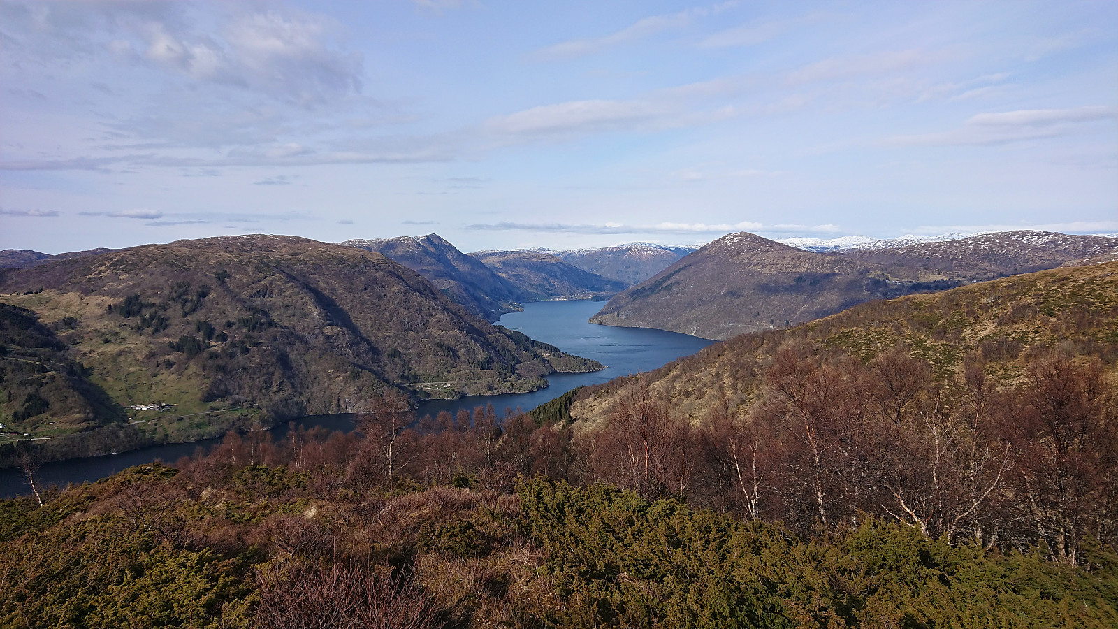
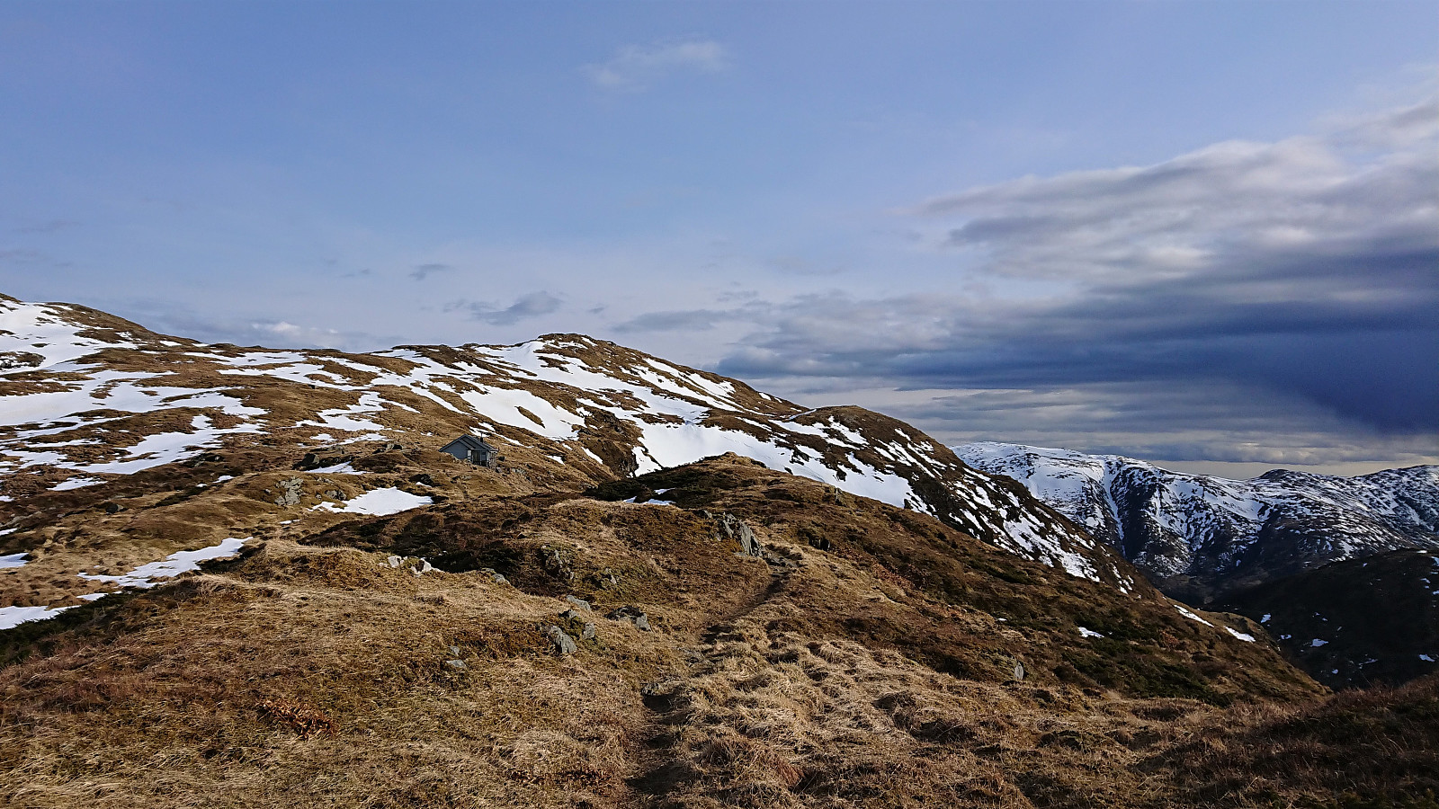
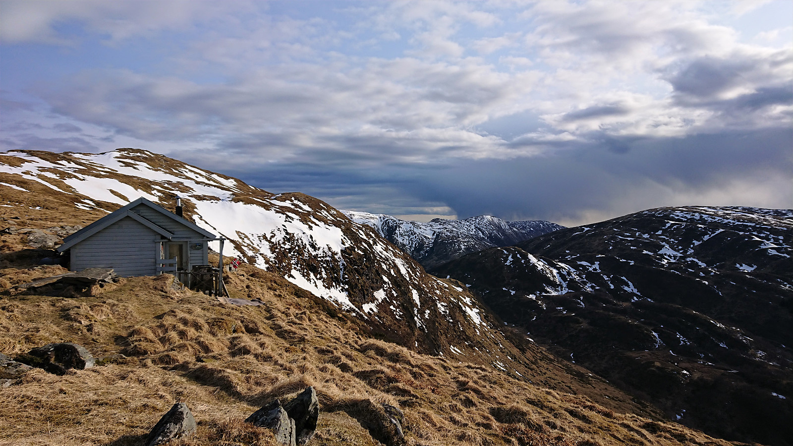
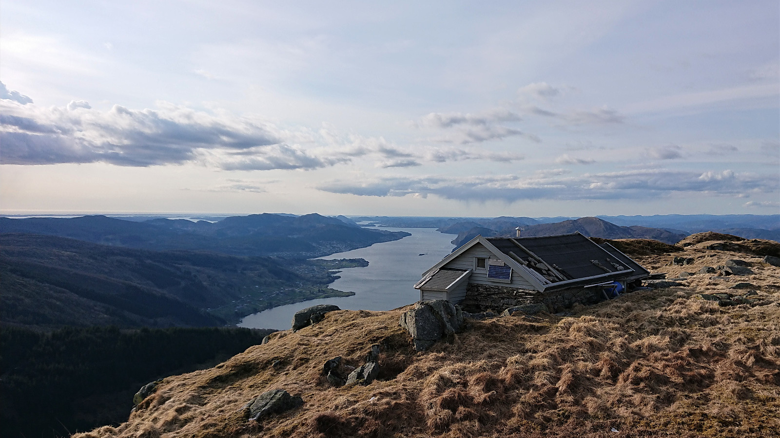
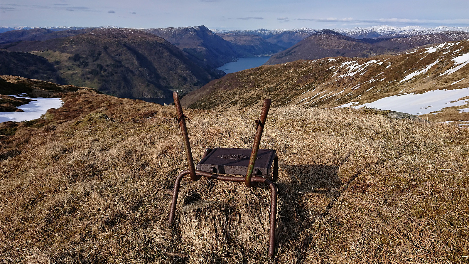
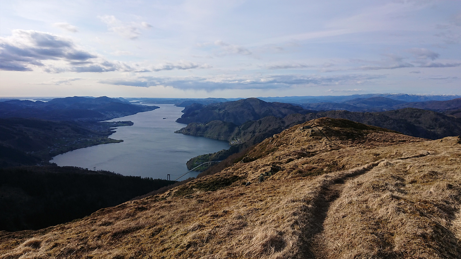
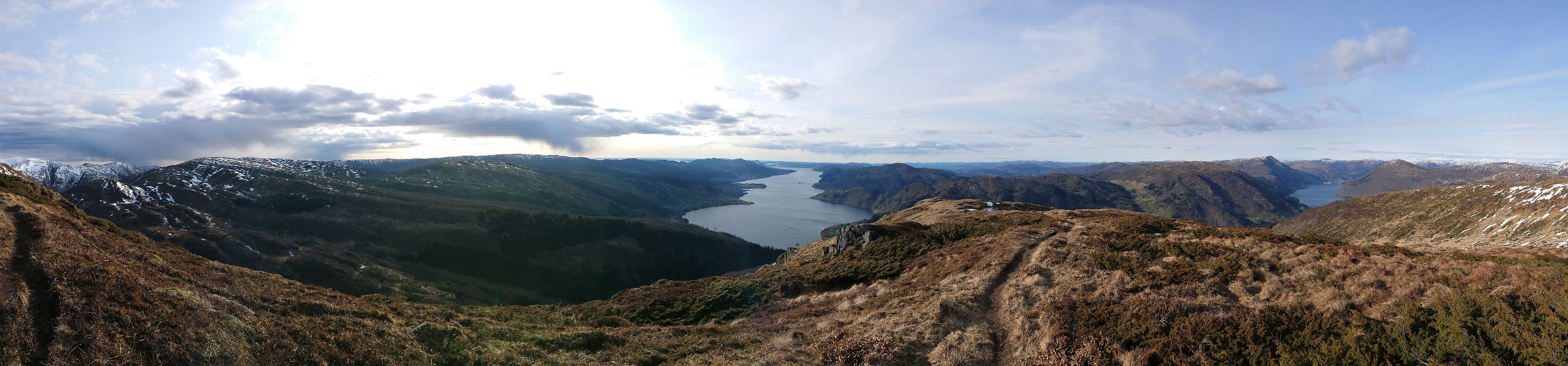
We parked at Utapåegga p-lomme where there was room for about three cars, and easily located the unmarked trailhead. After a steep start, we crossed an open field and passed through a gate to arrive at the start of an excellent trail that would take us up Utapåegga. This was clearly an old trail that had been used by the farmers in the area, something that became even more obvious when we passed by several unnamed ruins at about 250 meters above sea level. The trail could easily be followed all the way to Skylefonnstølen, and even seemed to continue from there towards Vossavardane NV. We considered heading that way ourselves, but in the end we decided to rather start our descent due to an increasingly cold wind. Throughout the descent we could enjoy the spectacular panoramic views towards the north. Overall, an outstanding hike that can be very highly recommended!
PS: It should also be possible to ascend/descend via Innapåeggi to the east, but according to one of the locals we met, the trail there is not of the same high quality and towards the road there are currently lots of fallen trees that one has to go over/under.
| Start date | 05.05.2021 17:01 (UTC+01:00 DST) |
| End date | 05.05.2021 19:55 (UTC+01:00 DST) |
| Total Time | 2h 54min |
| Moving Time | 2h 40min |
| Stopped Time | 0h 14min |
| Overall Average | 2.0km/h |
| Moving Average | 2.2km/h |
| Distance | 5.8km |
| Vertical meters | 593m |


User comments
Innapåeggi
Written by HHauser 09.05.2021 21:36It's certainly possible to hike Innapåeggi, also (we've done Innapåeggi up and then Utapåeggi down, for ex.), but the trail there, if present at all, is comparably minor (and it's quite a bit steep in the lowest part).
Re: Innapåeggi
Written by hbar 10.05.2021 00:03Ah, yes, I thought I'd seen you do a hike like that! But when preparing for our hike I only came across your report for Ramfjellet. Most likely as you did not visit the off-trail location of the PB-element for Utapåegga. Maybe you should now register your earlier visits of Skylefonnstølen and Utapåegga p-lomme (both newly added PB-elements) so that other hikers of Utapåegga/Skylefonnstølen can more easily take advantage of the report from your hike following both ridges?
BTW, with the current information about the quality of the trails along Utapåegga and Innapåeggi I find it strange that one has to zoom in quite a bit to see the high quality trail along Utapåegga, while the trail along Innapåeggi is clearly indicated as proper trail. I guess it shows that one should never blindly trust the map and always confer with trip reports from PB first. ;)
Re: Re: Innapåeggi
Written by HHauser 10.05.2021 11:25Thanks for the suggestion, I've added them now. And, yes, blindly trusting the map can lead to unexpected surprises for sure (both ways: no trail on map, but nice trail in real; and the other way 'round)! :-)