
Benshaugen, Nordre Lyshovden and Lyshovden (03.05.2021)

Written by hbar (Harald Barsnes)

| Start point | Fyllingsdalsveien (101m) |
|---|---|
| Endpoint | Melkeplassen (120m) |
| Characteristic | Hike |
| Duration | 1h 39min |
| Distance | 7.7km |
| Vertical meters | 294m |
| GPS |
|
| Ascents | Benshaugen (107m) | 03.05.2021 |
|---|---|---|
| Lyshovden (149m) | 03.05.2021 | |
| Nordre Lyshovden (115m) | 03.05.2021 |
Benshaugen, Nordre Lyshovden and Lyshovden
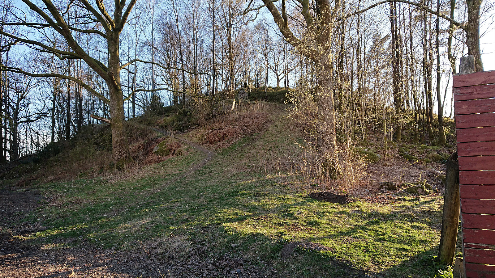
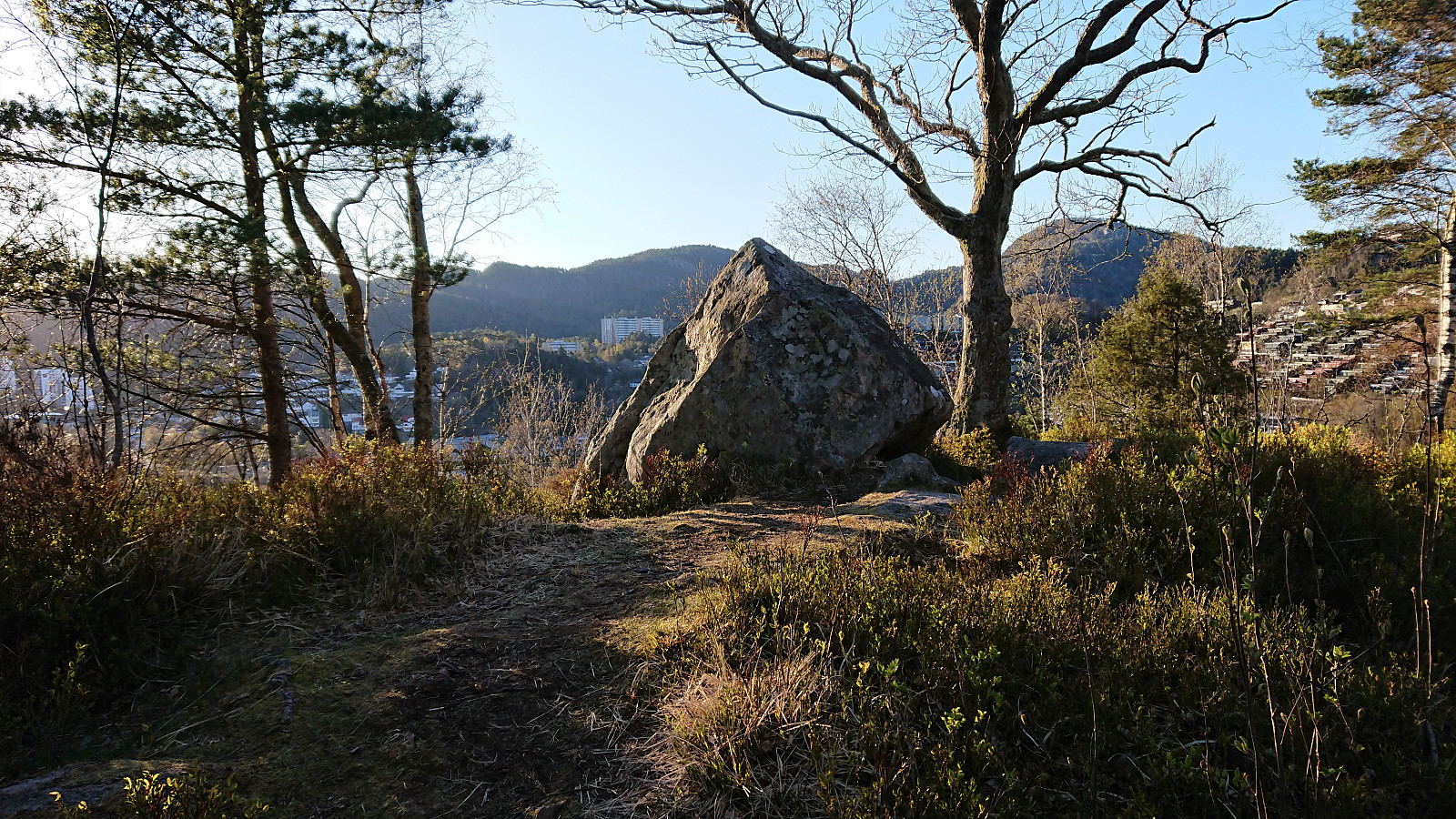
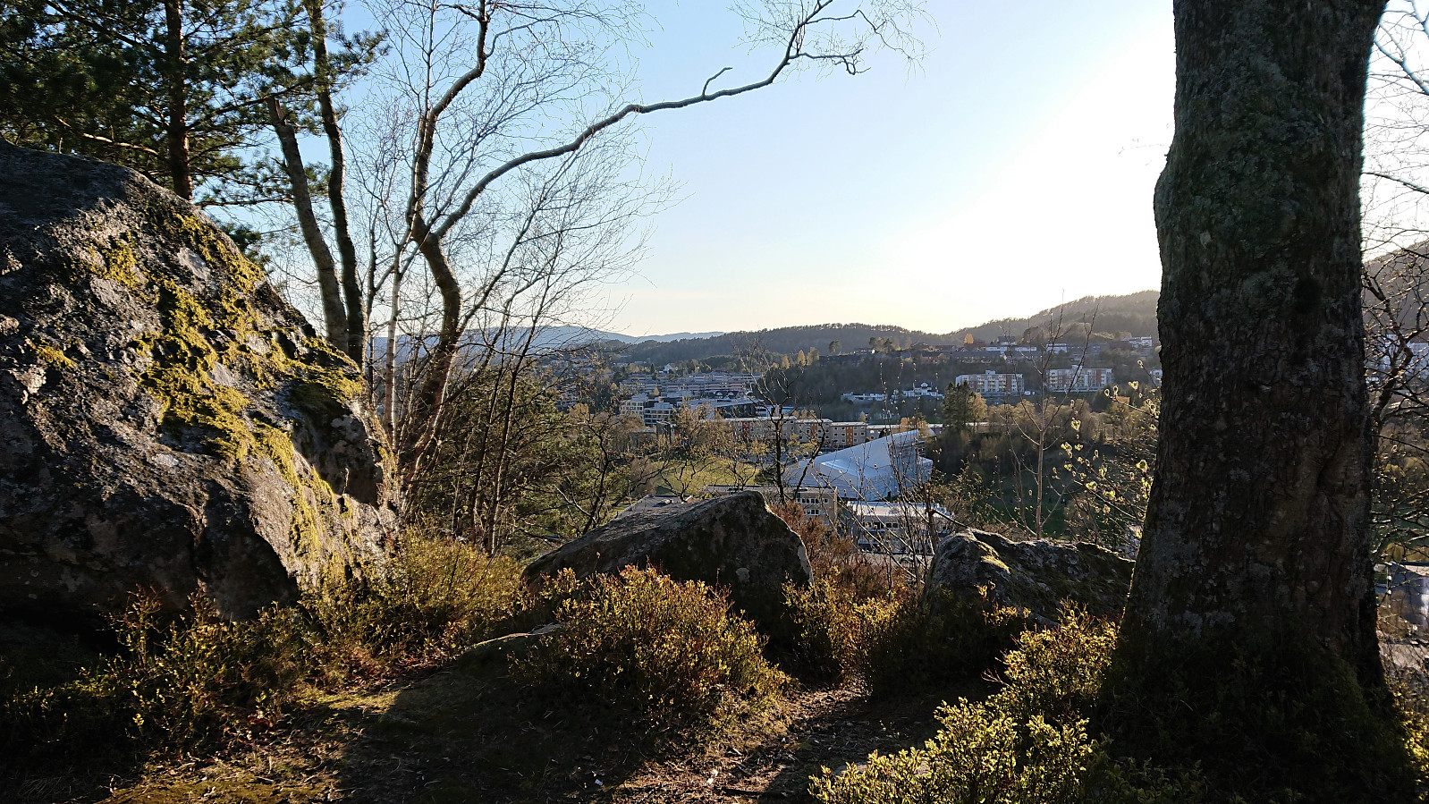
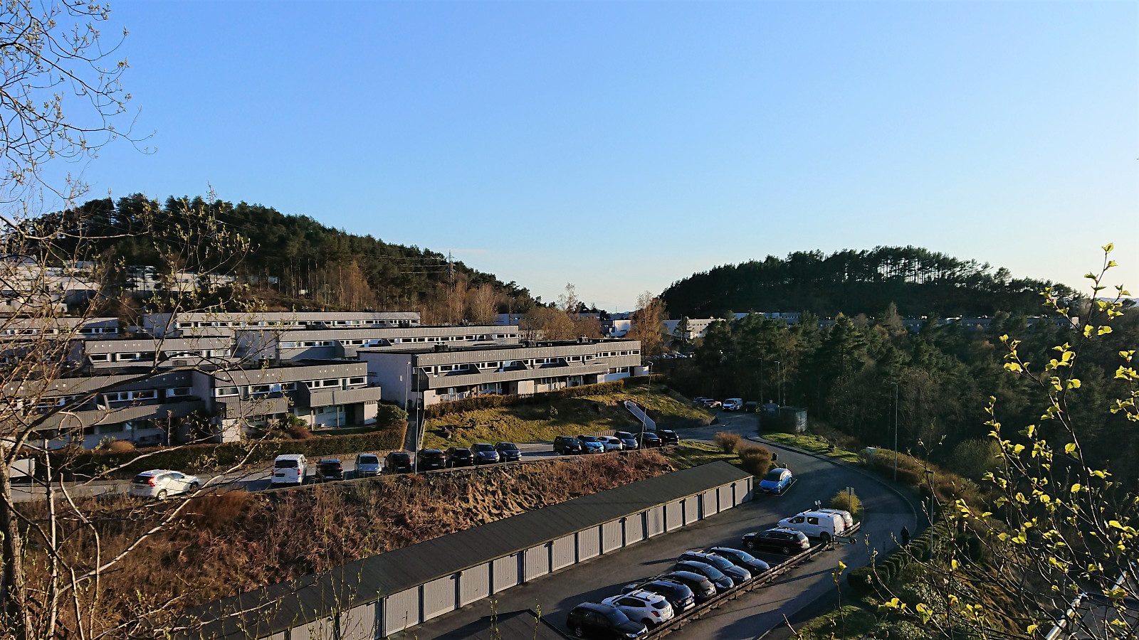
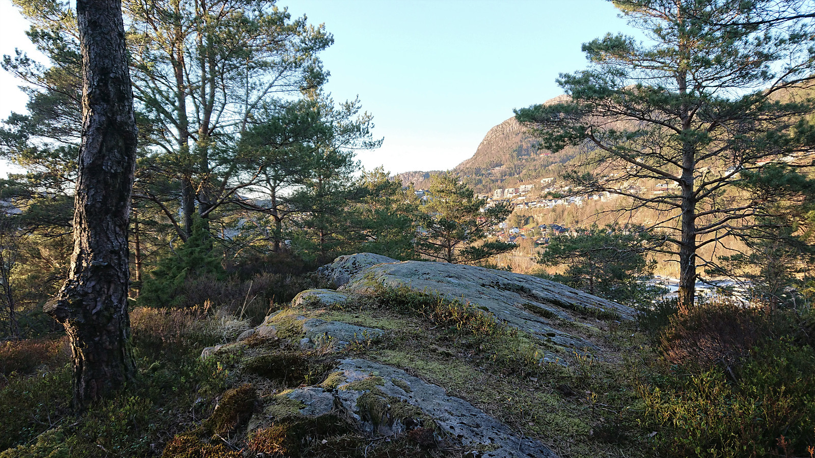
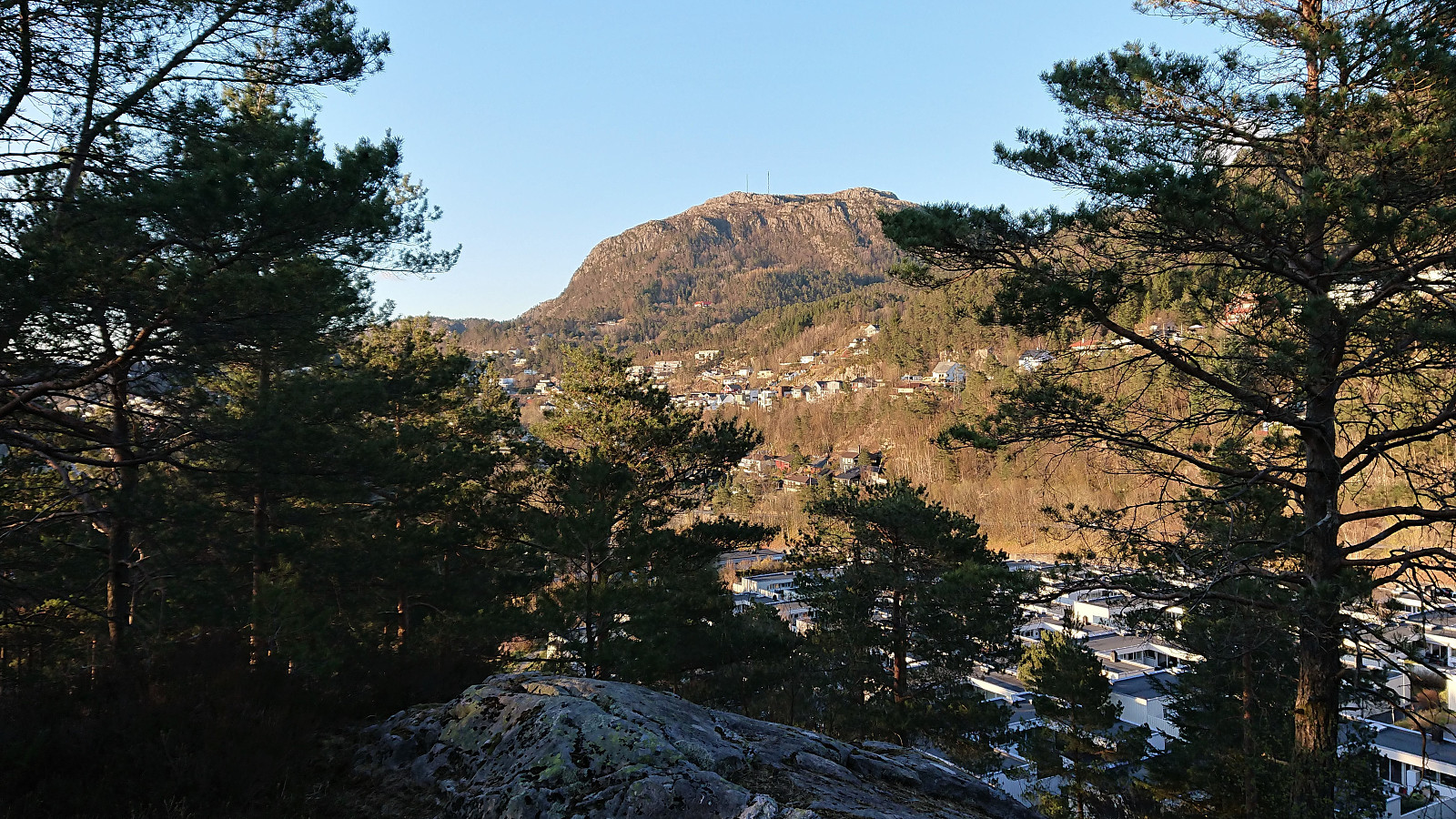
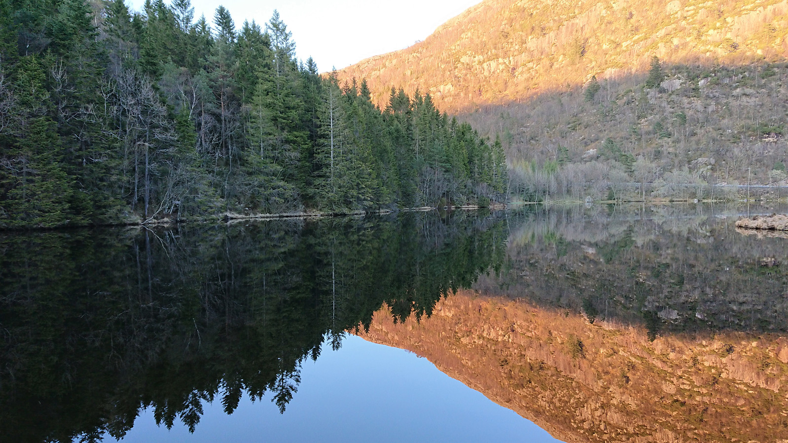
Short evening hike to visit three small hills in Fyllingsdalen. Each hill was easily ascended via unmarked trails with trailheads that thankfully did not include any feelings of trespassing private property (as is not often be the case with these small hills in populated areas). Overall, a nice short hike in a neighborhood that I probably would not otherwise have visited.

| Start date | 03.05.2021 19:53 (UTC+01:00 DST) |
| End date | 03.05.2021 21:33 (UTC+01:00 DST) |
| Total Time | 1h 39min |
| Moving Time | 1h 36min |
| Stopped Time | 0h 3min |
| Overall Average | 4.6km/h |
| Moving Average | 4.8km/h |
| Distance | 7.7km |
| Vertical meters | 293m |


User comments