
Cycling: Nordåsvatnet and Storrinden (25.04.2021)

Skrevet av hbar (Harald Barsnes)

| Startsted | Lønborg (56moh) |
|---|---|
| Sluttsted | Lønborg (56moh) |
| Turtype | Gatesykling |
| Turlengde | 4t 12min |
| Distanse | 52,5km |
| Høydemeter | 963m |
| GPS |
|
| Bestigninger | Dolvikfjellet (128moh) | 25.04.2021 |
|---|---|---|
| Skranehovden (97moh) | 25.04.2021 | |
| Storrinden (153moh) | 25.04.2021 | |
| Andre besøkte PBE'er | Bryggen i Bergen (1moh) | 25.04.2021 |
| Nygårdsbroene (5moh) | 25.04.2021 | |
| Storrinden utsiktspunkt (142moh) | 25.04.2021 | |
| Straume bro (5moh) | 25.04.2021 |
Cycling: Nordåsvatnet and Storrinden
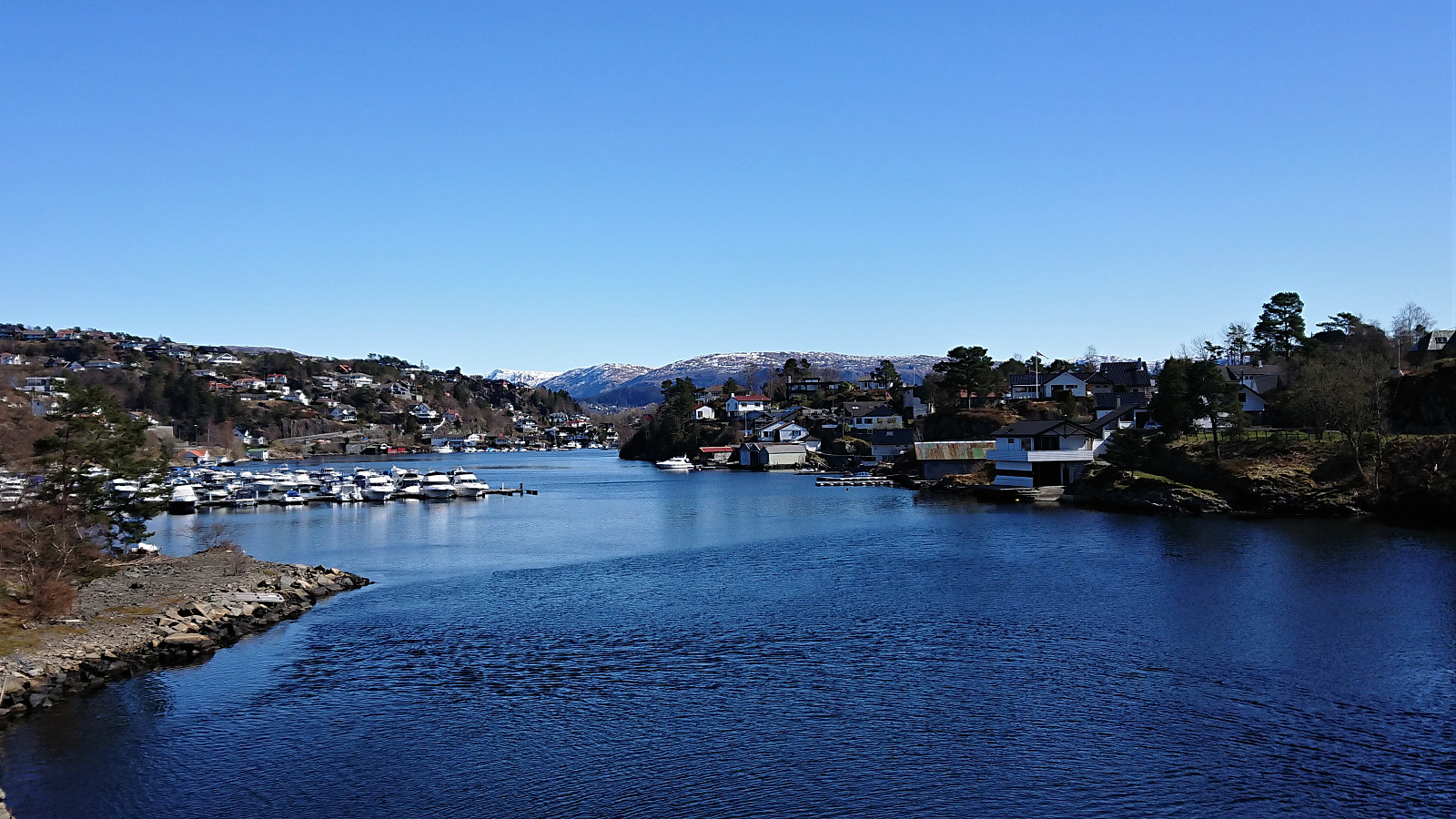
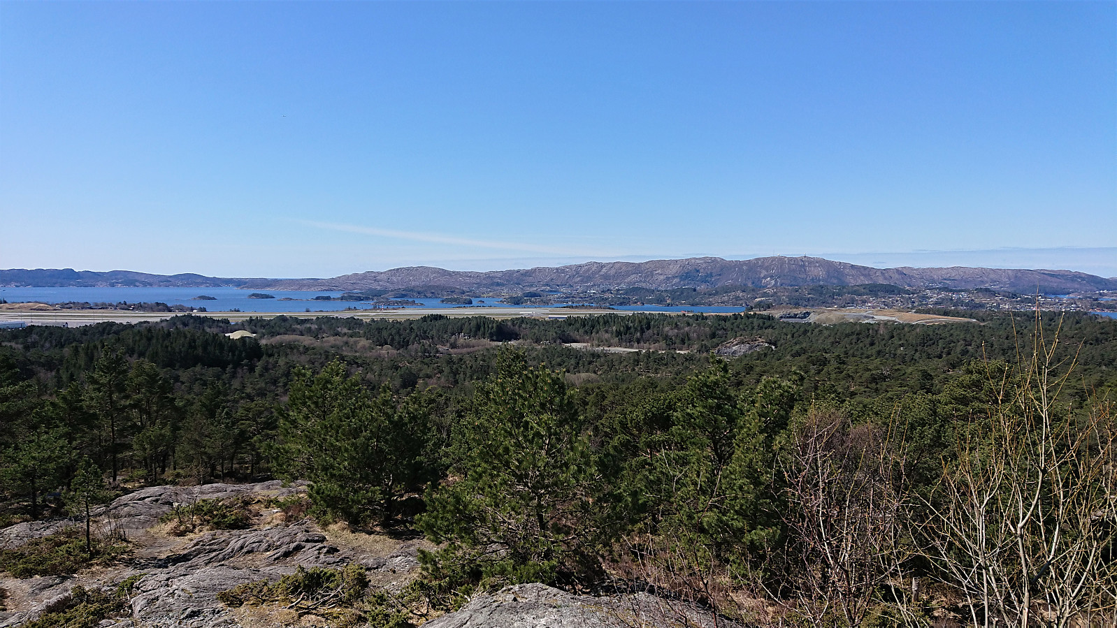
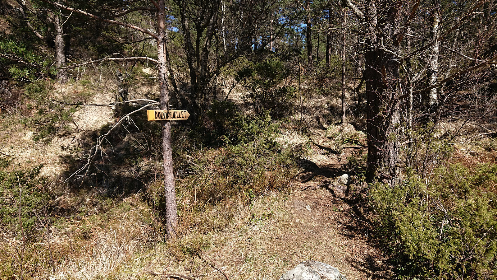
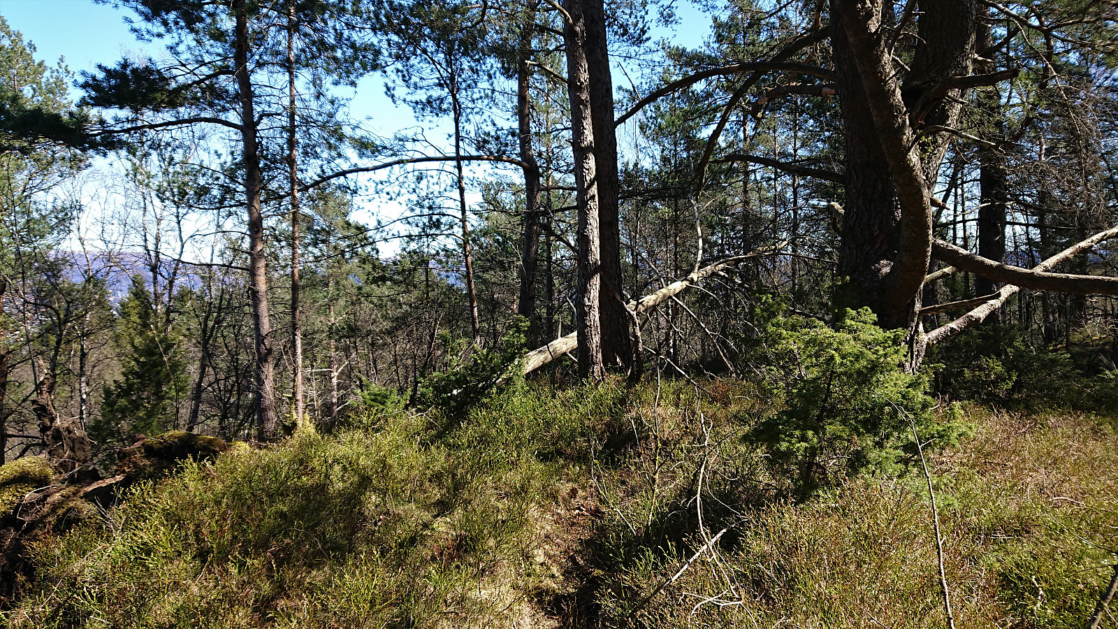
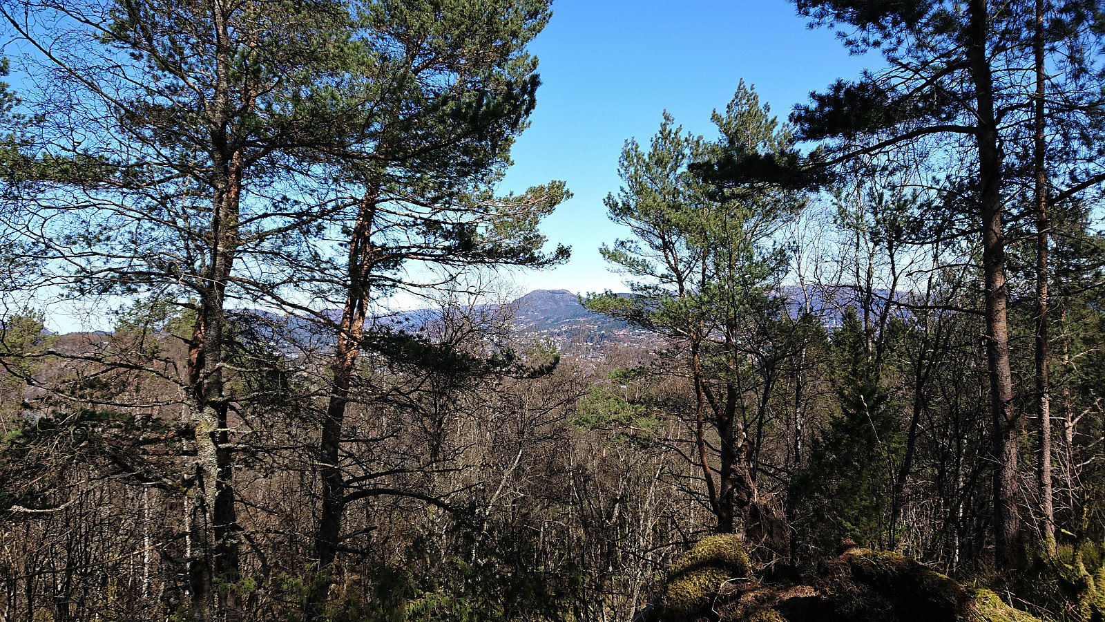
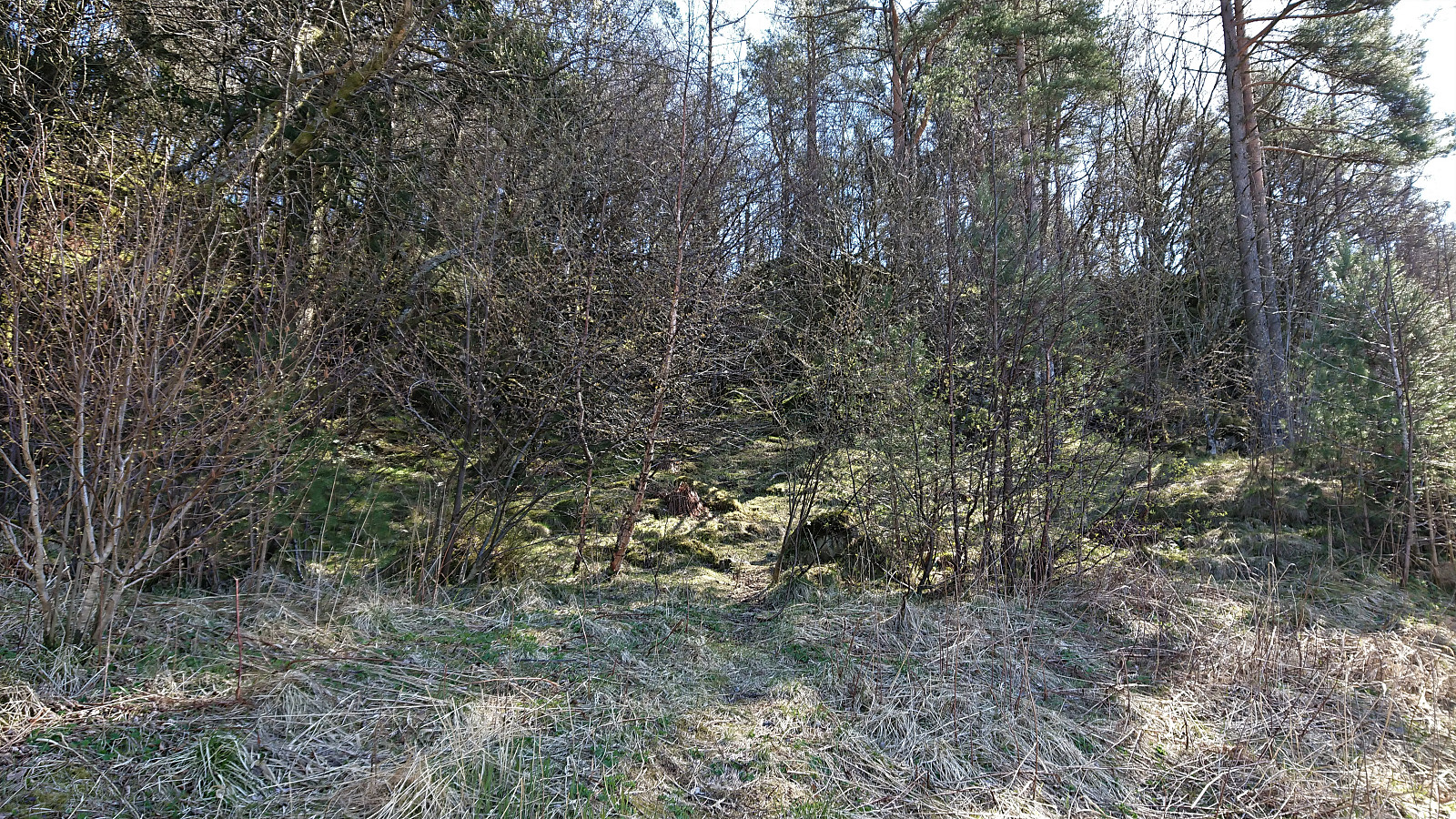
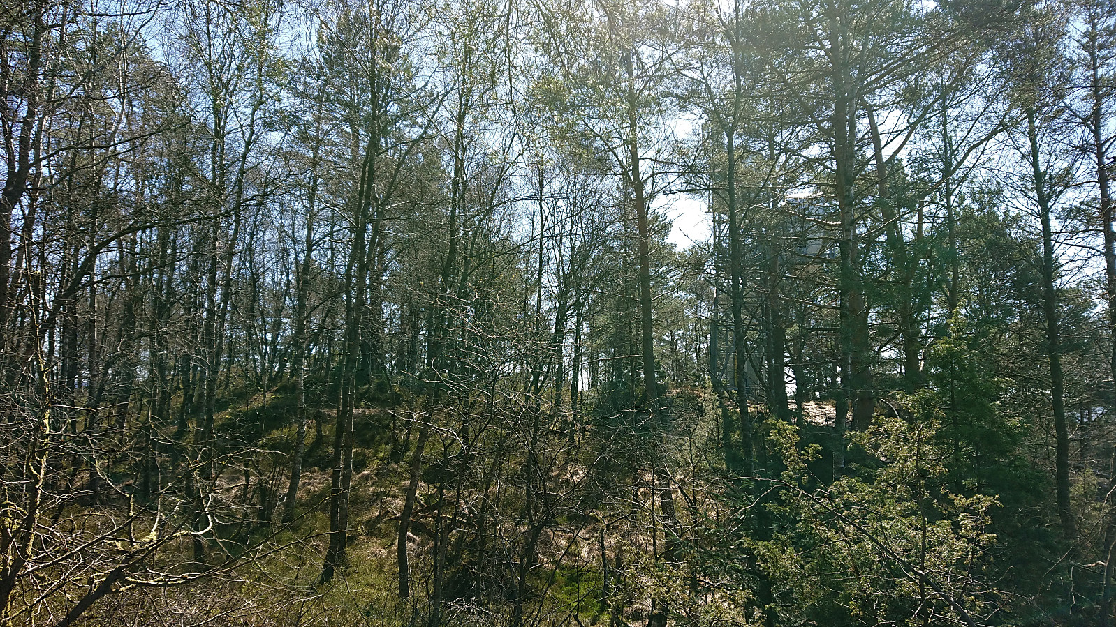
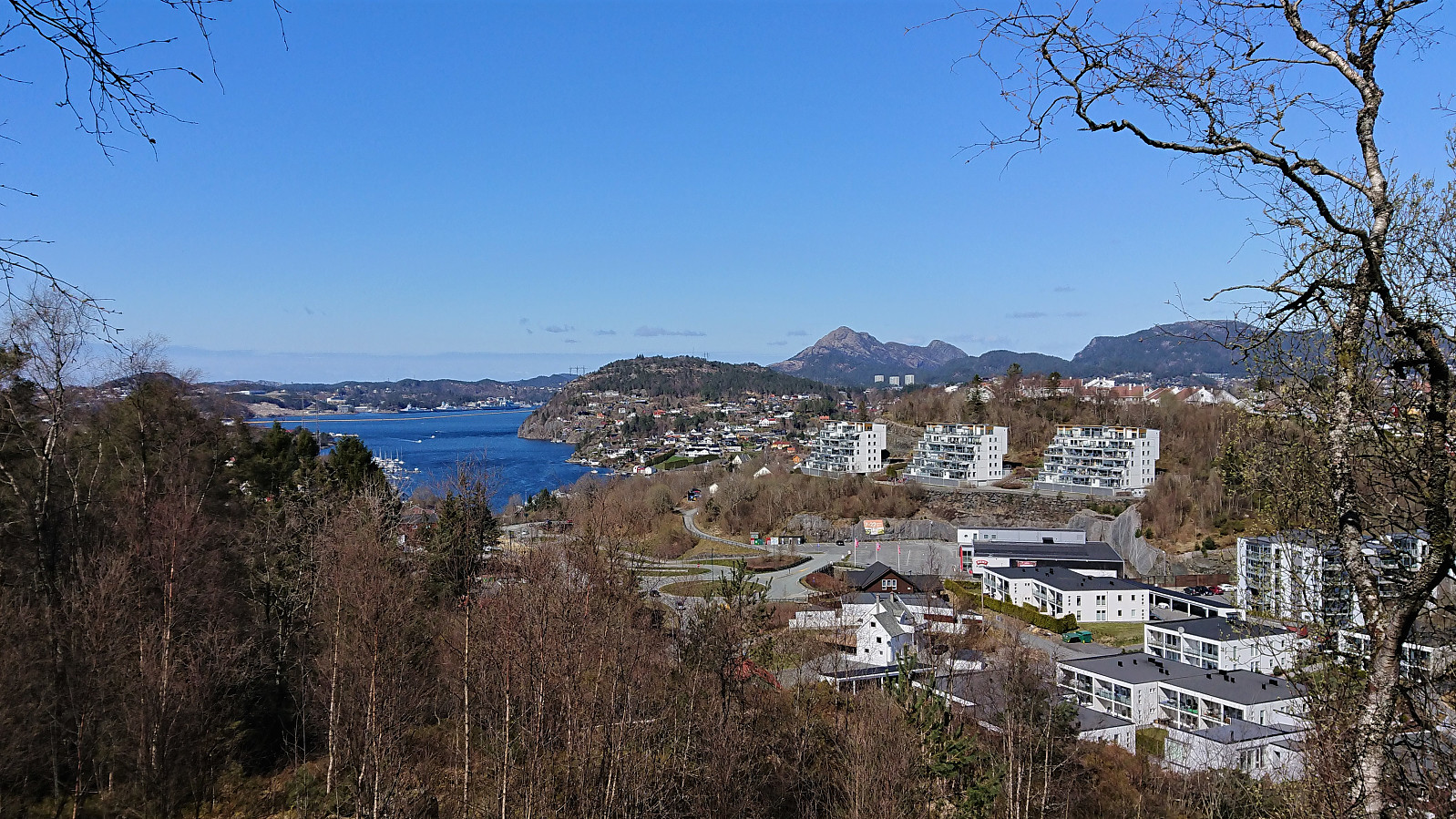
Cycling trip around Nordåsvatnet that included a revisit of Storrinden and the excellent views from southwest of the summit. When descending from Storrinden I made a quick detour on foot to Dolvikfjellet, easily reached via a marked trail, although the views from the summit were limited. Before starting my return journey, I made a short visit of Skranehovden, ascending from the northwest (again leaving the bike behind), thus avoiding the feeling of going through someone's backyard that the ascent from the south seemed to include. To my surprise the small hill was packed with people enjoying the nice weather, most likely as the forested summit area provided shelter from the cold northerly wind. But all the trees also meant that the views were rather limited, however some very nice views towards Knappen and Lyderhorn could be obtained if heading north of the summit.
| Starttidspunkt | 25.04.2021 12:00 (UTC+01:00 ST) |
| Sluttidspunkt | 25.04.2021 16:13 (UTC+01:00 ST) |
| Totaltid | 4t 12min |
| Bevegelsestid | 4t 02min |
| Pausetid | 0t 9min |
| Snittfart totalt | 12,5km/t |
| Snittfart bevegelsestid | 13,0km/t |
| Distanse | 52,5km |
| Høydemeter | 963m |


Kommentarer