
Tour Skiing to Mount Skjorta by the Fjord of Eresfjord (17.04.2021)

Written by Solan (Atle Solholm)

| Start point | Kanndalsvegen (161m) |
|---|---|
| Endpoint | Kanndalsvegen (132m) |
| Characteristic | Randonnée/Telemark |
| Duration | 5h 46min |
| Distance | 13.3km |
| Vertical meters | 2,229m |
| GPS |
|
| Ascents | Skjorta (1,711m) | 17.04.2021 |
|---|
There hadn't been that much snow earlier this season, and most of our ski trips this winter had resulted in some damage to our skis due to the presence of stones just beneath the surface of the snow. Some years, however, we do get more snow in April than we've had in January and February, due to polar low pressure systems that bring snow and cold weather from the polar front [i.e. a weather system around the North Pole]; and so even this year, we got about three rounds of snow in April, allowing us to have a few more ski tours, even as summer was actually approaching.
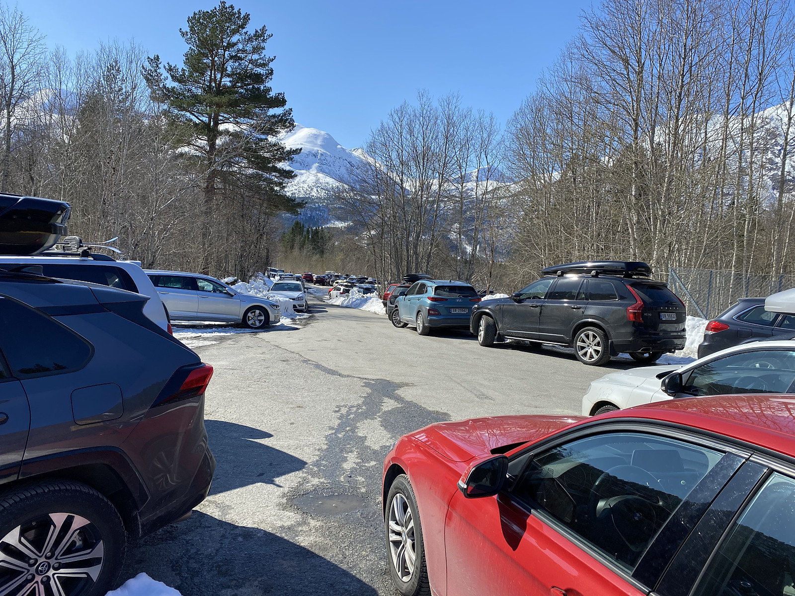
My son suggested we go for Mount Skjorta [i.e. "The Shirt"] this weekend, as he had read about it in an online ski and alpine forum just a few days earlier, and so we agreed to give the mountain a try. It took us about 3 hours to drive from home to the fjord of Eresfjord in the inner part of the county of Møre & Romsdal. The day was really nice, with bright, sunny skies, and a lot of people had found their way either to this mountain, or to one of the neighbouring mountains; hence it was a bit tricky to find a spot where we could park our car. We managed to find a spot by a building looking like a school or a kindergarten down by some farms in the valley, however; and then we just had to carry our skis for about a kilometre and a half; before we could put them on, up by the parking lot from where we had originally planned to start out (Image #1).
![Image #6: View towards Mount Goksøyra [1377 m.a.m.s.l.], just on the opposite side of Kvidalen Valley.](https://images1.peakbook.org/images/14939/Solan_20210423_60831bd5b1cc5.jpg?p=xtralarge)
I had been reading some tour descriptions of trips to Mount Skjorta here on Peakbook the previous evening, so as to prepare for the day; and I had noticed there were at least two different routes leading up to the summit of Mount Skjorta, from where we were starting out. We chose the one leading into the valley of Kvidalen, i.e. the valley between Mount Skjorta [1711 m.a.m.s.l.] and Mount Goksøyra [1337 m.a.m.s.l.]. That might not necessarily have been the wisest chose, as the snow in Kvidalen valley was quite wet and heavy on this warm and sunny day; but that's something I've frequently experienced when trekking mountains that I haven't visited before: You find out as you're climbing, that a different route would have been better. I think that's something we just have to live with, though, as most of us won't be able to afford hiring a mountain guide whenever we embark upon a mountain that is "new" to us.

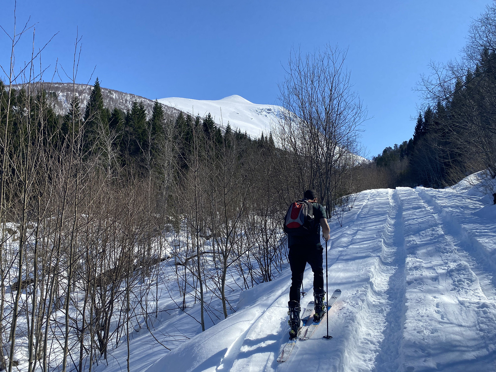
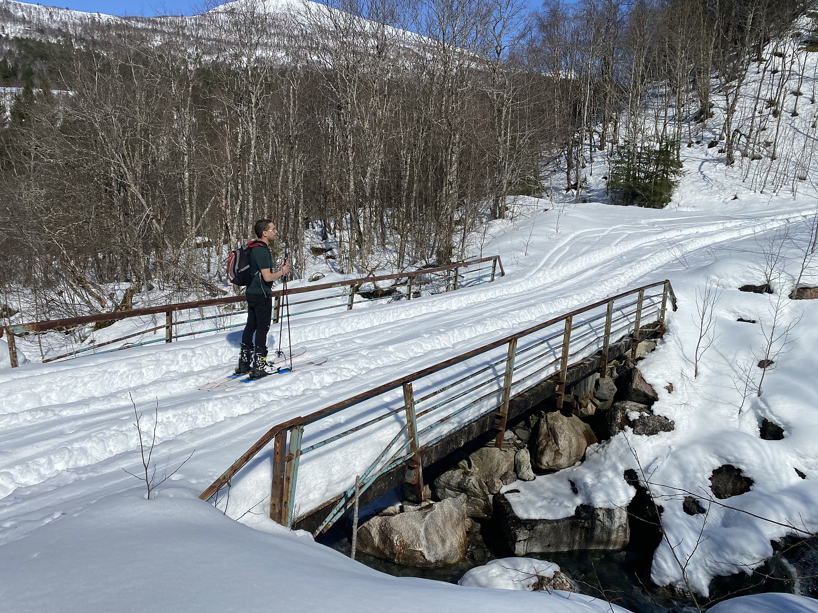
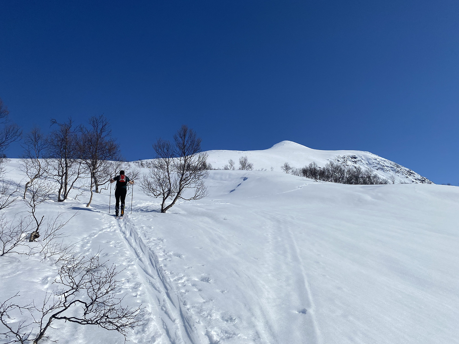
We followed a forest road into the valley. The road was covered by about 50 cm of snow, and yet some vehicle, probably a tractor, had made huge tracks in the snow; so we had to walk either in the middle of the road, or on one of its shoulders (image #2). A little bit up the valley, we came to a bridge leading over to the other side of Kvidalselva River. We used the bridge to get across the river, and then continued along the road; which had also crossed the river on top of the bridge. The huge tractor trails continued for the entire length of the road, but where the road stopped, a ski trail from other skiers continued up the mountainside.
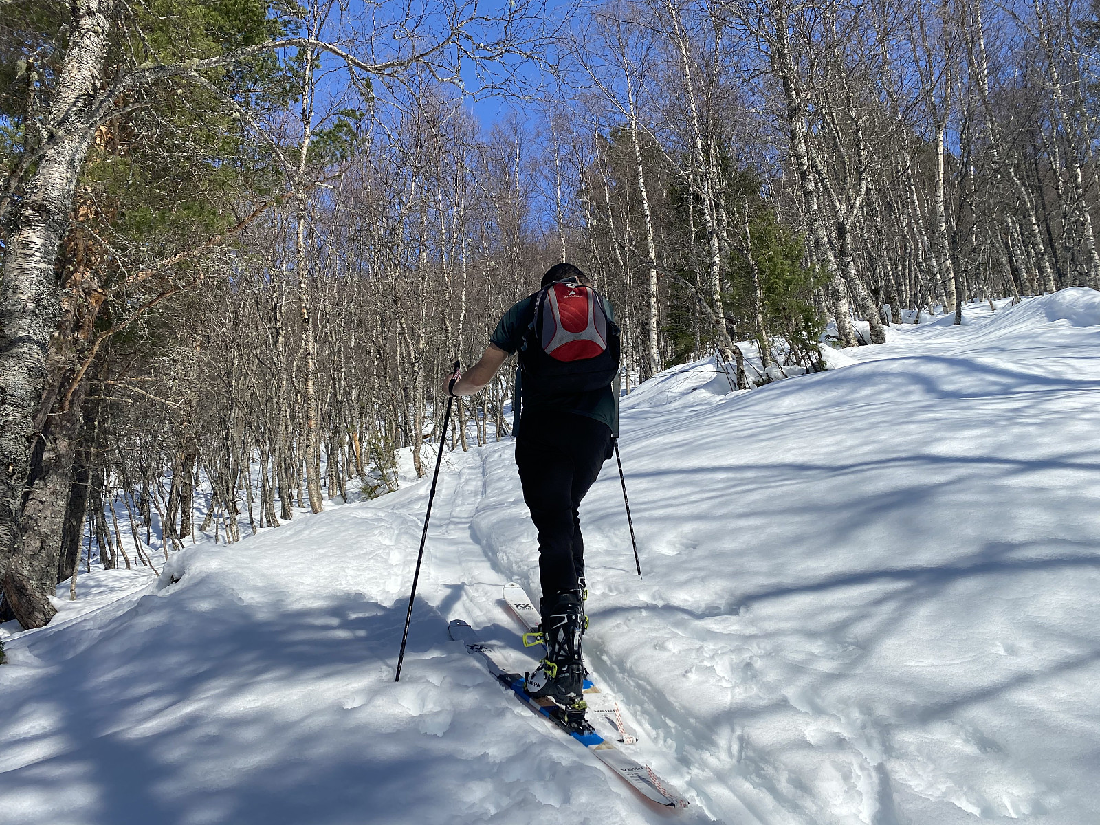
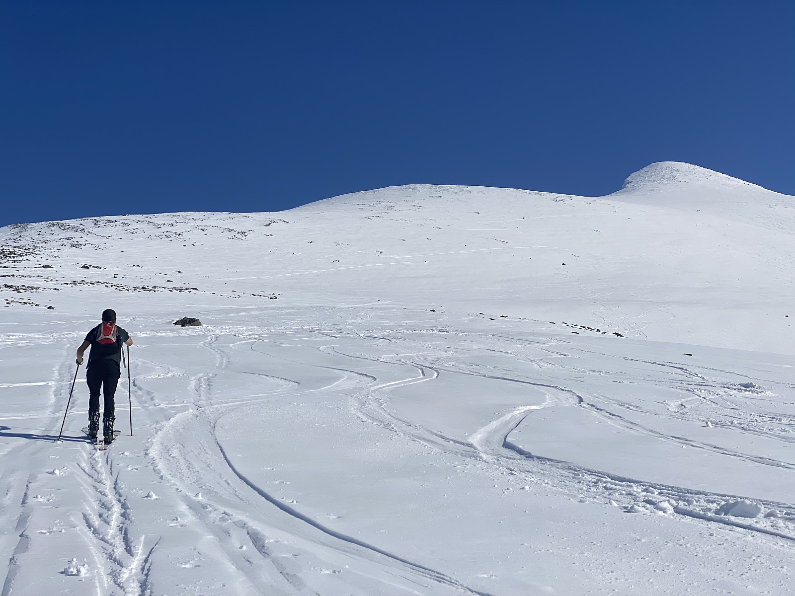
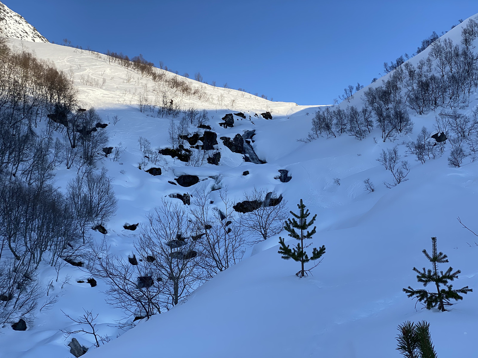
Shortly after the road stopped, we arrived at a spot called Forhaugstølen. This location has only two small cabins, but they were once upon time used by dairymaids that took care of the flocks of sheep when they were grazing in the mountains during the summer months. The ski trail that we were following led to the left of the cabins, and then right into the forest of the mountainside (image #4). From there, the trail that we were following quickly got steeper, and the forest got gradually denser; until we were in part using the trees to hold onto instead of our ski poles. This was when I regretted that we hadn’t chosen the alternative route, i.e. the trail going up from Kanndalen Valley, instead of this one. We struggled upwards in the wet and heavy snow in between the birch trees, though, and finally managed to get above the forest; unto a slope looking a bit like a plateau, as it was much less steep than the mountainside that we had just climbed, and also not nearly as steep as the final climb towards the summit, that we could now see in front of us.
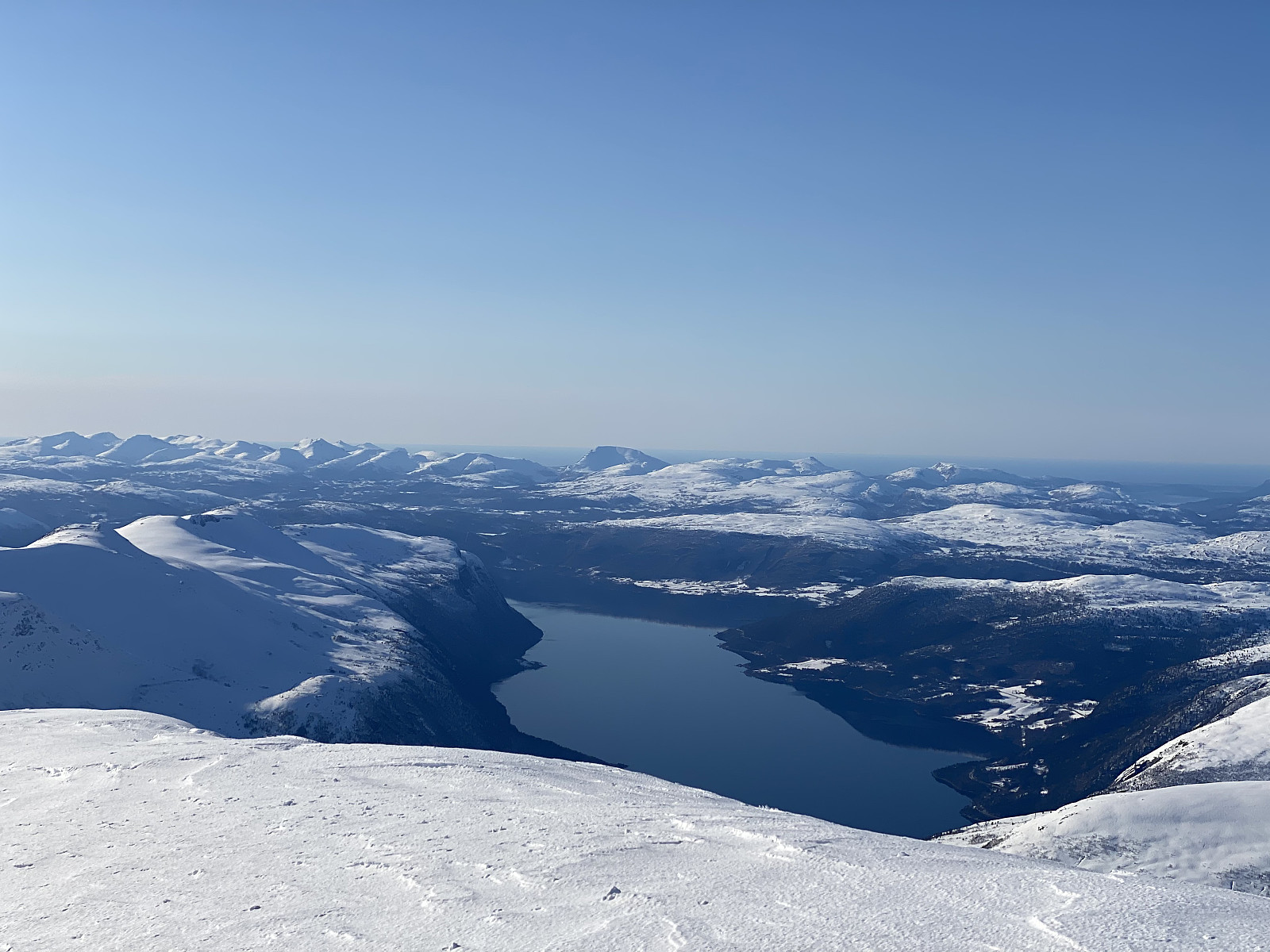
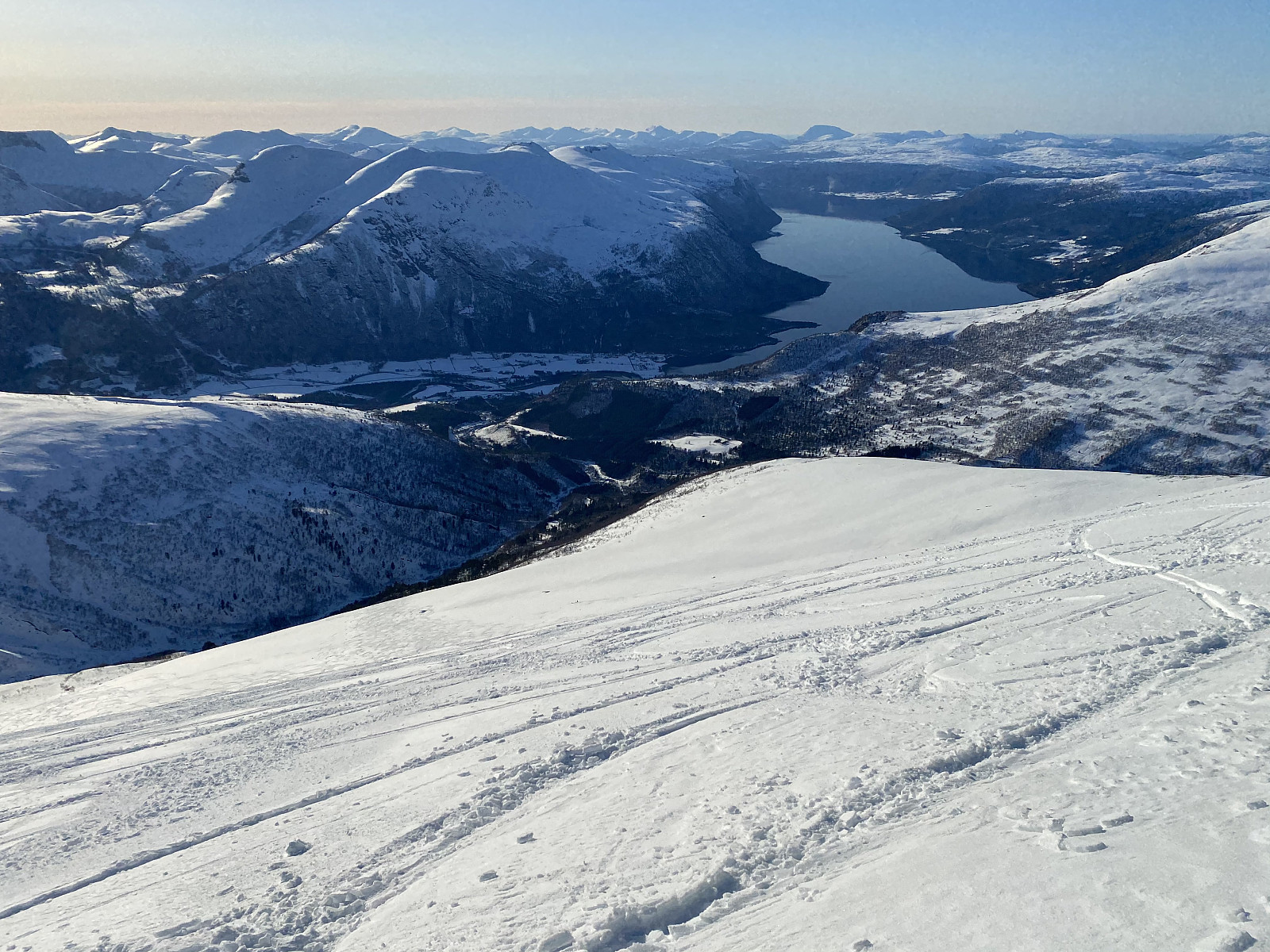
![Image #11: It's fascinating how far you could actually see from the summit of Mount Skjorta on this beautiful day. The mountains of Breitinden, Trollryggen and Store Trolltinden are all mountains flanking the upper edge of the renown cliff called Trollveggen [i.e. the Troll Wall], and Mount Store Venjetinden is another high mountain close to the town of Åndalsnes, in the municipality of Rauma.](https://images1.peakbook.org/images/14939/Solan_20210423_60832dc6df33f.jpg?p=xtralarge)
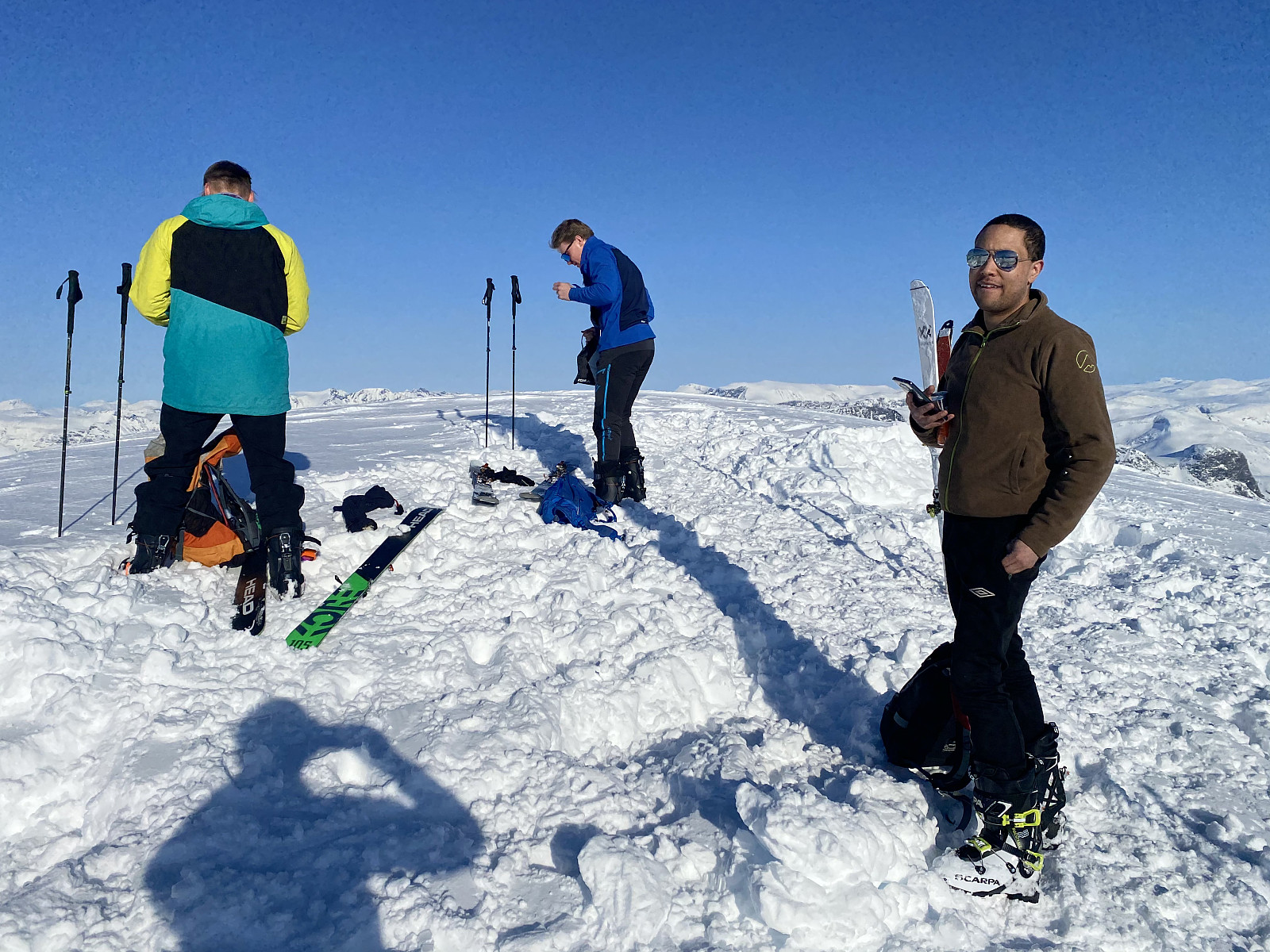
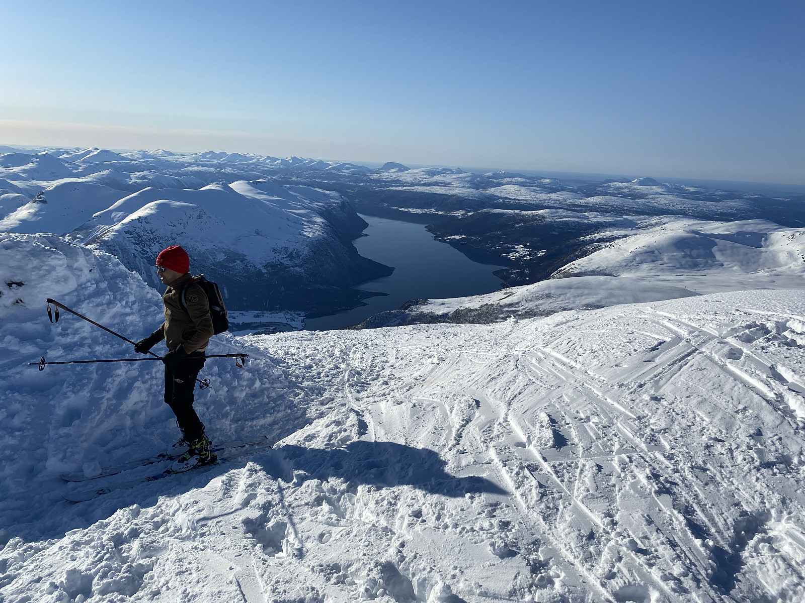
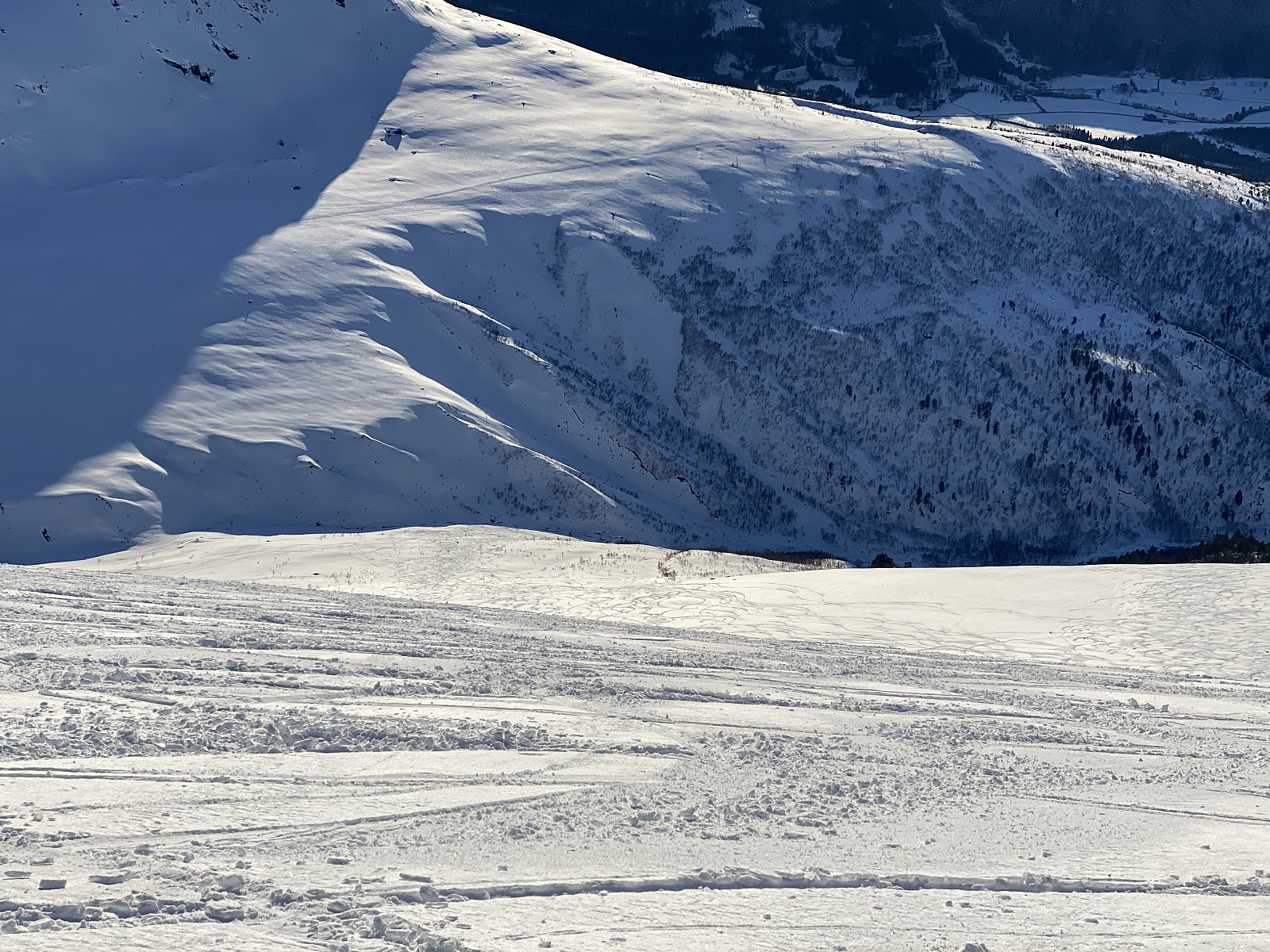
We continued upwards, crossing back and forth the mountainside as may be seen from images ## 7 & 8. I was exhausted after the climb through the forest, however, and so a lot of skiers coming up the alternative route (i.e. the route from Kanndalen Valley) overtook me along the trail. I stopped, and had some soda to drink, along with some chocolate to eat, before I continued upwards; and a little bit later, I felt a bit better. As we approached the very summit of the mountain, the slopes became steeper again, and the snow up there was quite a bit icy; so continuing the climb became quite a challenge. We managed somehow to get all the way up to the summit; and I have to say that the summit of this mountain had a very marvelous view (images ## 9-11). We shot some photos up there, and talked a bit with some other, quite nice people that we met up there; and then we started removing the skins, in order to make the skis ready for the descent.
The descent was more or less uneventful, but quite wonderful. We tried to avoid the steeper places, in order to reduce the risk of triggering an avalanche. We aimed for the very valley that we had climbed up from, but we aimed a little bit higher up, in order to avoid the dense birch forrest that we had ascended the mountain through. The valley was nice, but as we came down to the bottom of it, skiing became a bit challenging, as the river was open, and we had to cross it a couple of times. We somehow managed to get all the way back down to the parking lot, though; and by now most of the cars that had been there a few hours earlier were gone. Actually, the most important activity on the parking lot as we got down there, was people sitting and eating around some bonfires. That looked pretty cool, but we didn't join them; as evening was at hand, and we had a 3 hours drive in order to get back home.


User comments