
Lerkhaugen, Lisahaugen and Langhaugen (02.04.2021)

Written by hbar (Harald Barsnes)

| Start point | Langebekken (11m) |
|---|---|
| Endpoint | Nattlandsveien (82m) |
| Characteristic | Hike |
| Duration | 1h 57min |
| Distance | 8.7km |
| Vertical meters | 301m |
| GPS |
|
| Ascents | Langhaugen (102m) | 02.04.2021 |
|---|---|---|
| Lerkhaugen (81m) | 02.04.2021 | |
| Lisahaugen (115m) | 02.04.2021 | |
| Visits of other PBEs | Løvstien Sør (115m) | 02.04.2021 |
Lerkhaugen, Lisahaugen and Langhaugen
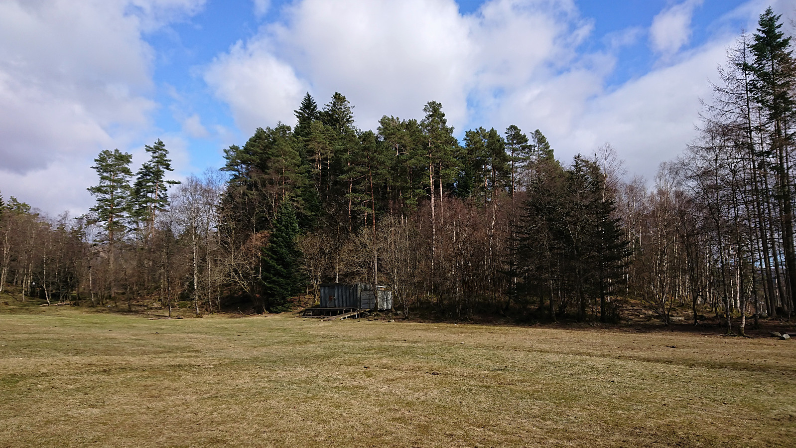
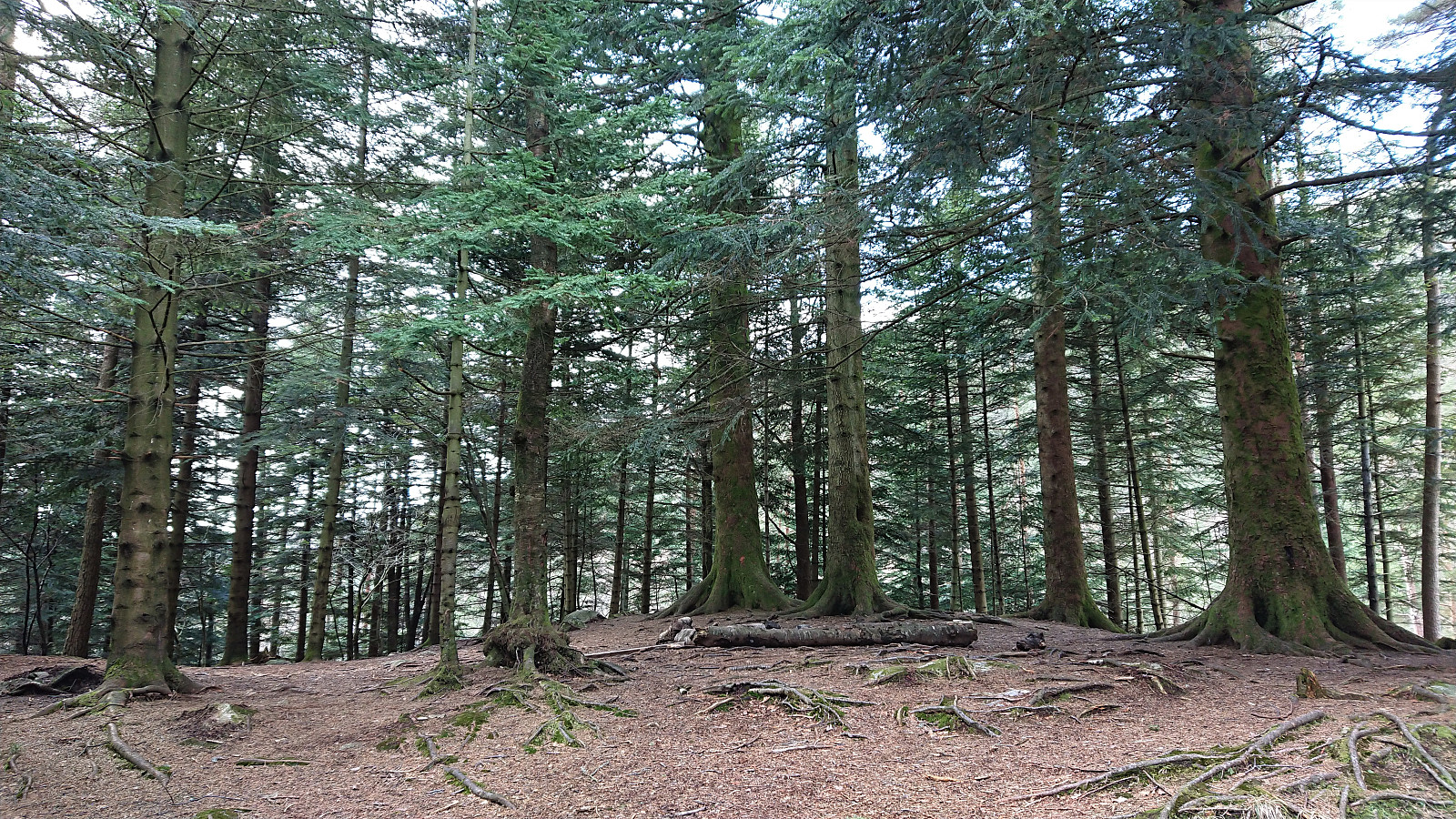
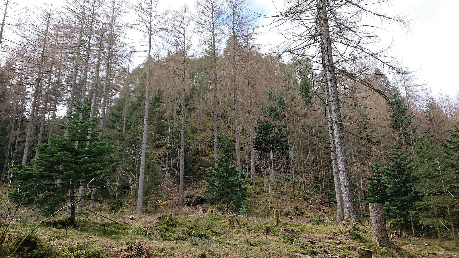
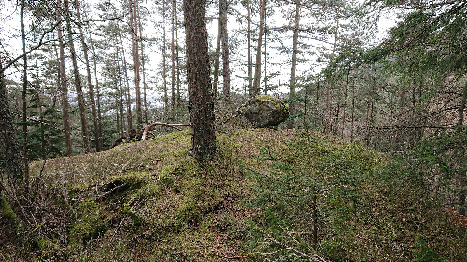
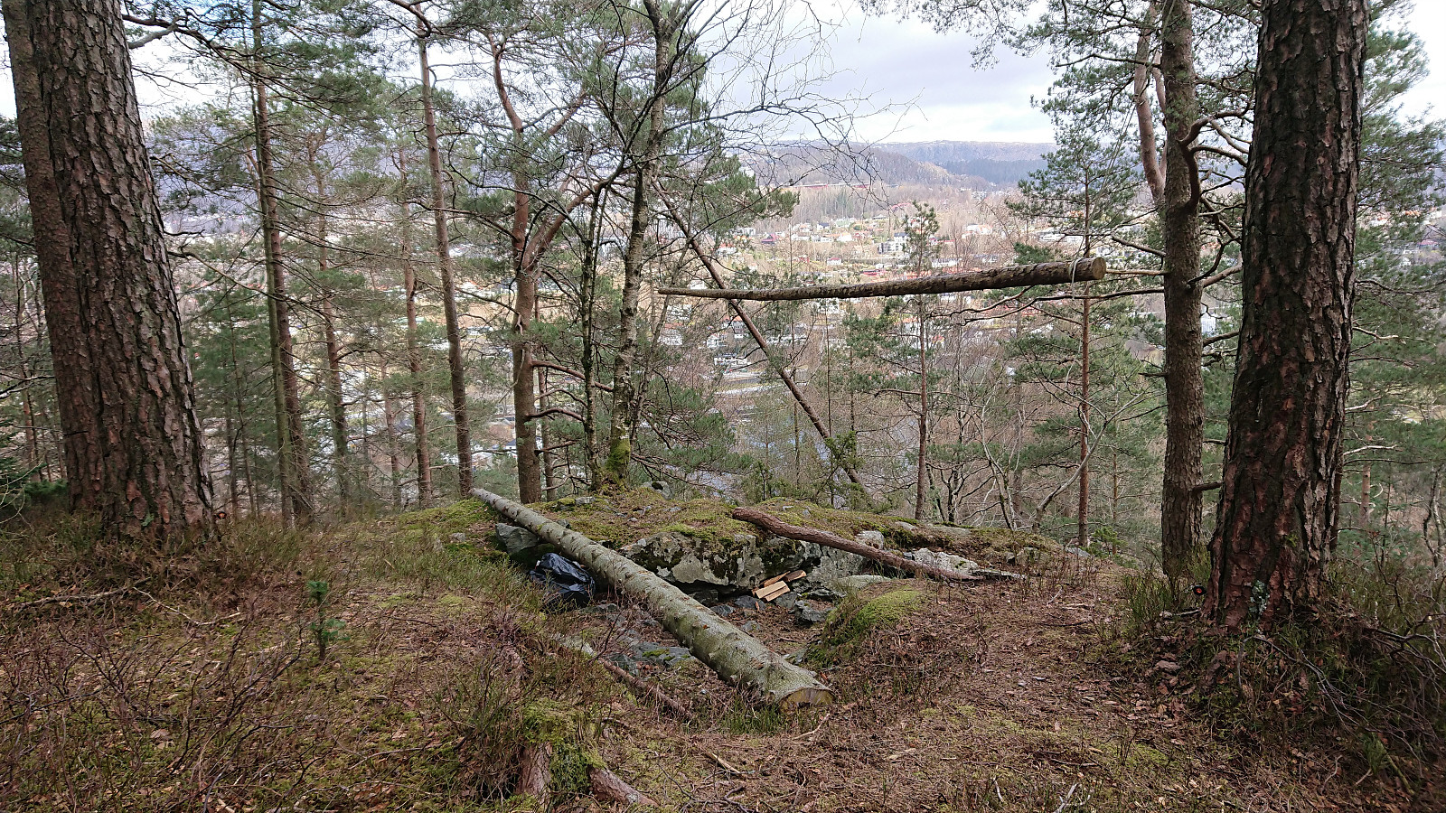
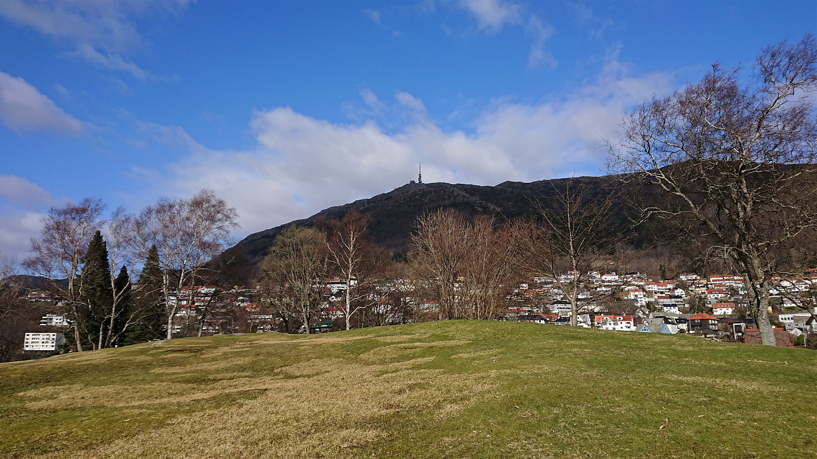
A relatively short hike to three small hills that all happened to start with the letter L! Started with Lerkhaugen, which was easily accessed via a trail to a larger summit area with no clear highest point. Limited views due to all the trees giving the hill its name. From Lerkhaugen it was only a short walk to the start of a trail/deer track that took me all the way to the summit of Lisahaugen. Not the best of views here either, but Nattlandsfjellet could at least be spotted in between the trees. After descending from Lisahaugen, I followed various roads on my way to Nattlandsveien, making a quick revisit of Langhaugen towards the end.
| Start date | 02.04.2021 14:52 (UTC+01:00 DST) |
| End date | 02.04.2021 16:48 (UTC+01:00 DST) |
| Total Time | 1h 57min |
| Moving Time | 1h 54min |
| Stopped Time | 0h 2min |
| Overall Average | 4.4km/h |
| Moving Average | 4.5km/h |
| Distance | 8.7km |
| Vertical meters | 300m |


User comments