
Unknown ruins above Munkebotsvatnet (09.03.2021)

Written by hbar (Harald Barsnes)

| Start point | Lønborg (57m) |
|---|---|
| Endpoint | Lønborg (57m) |
| Characteristic | Hillwalk |
| Duration | 2h 19min |
| Distance | 9.5km |
| Vertical meters | 505m |
| GPS |
|
| Ascents | Ørneberget NV (209m) | 09.03.2021 |
|---|---|---|
| Visits of other PBEs | Ruin nord for Ankerhytten (303m) | 09.03.2021 |
| Ruin vest for Brennhaugen (250m) | 09.03.2021 | |
| Fjellstova (ruin) (213m) | 09.03.2021 | |
| Ruin SØ for Fjellstova (237m) | 09.03.2021 | |
| Hellegrind (199m) | 09.03.2021 | |
| Ishuset ved Langevatnet (127m) | 09.03.2021 |
Unknown ruins above Munkebotsvatnet
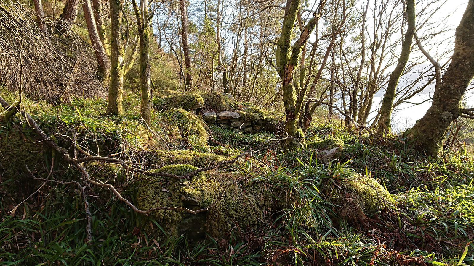
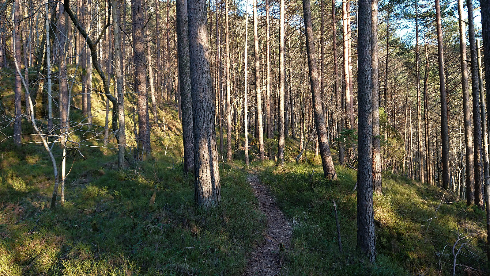
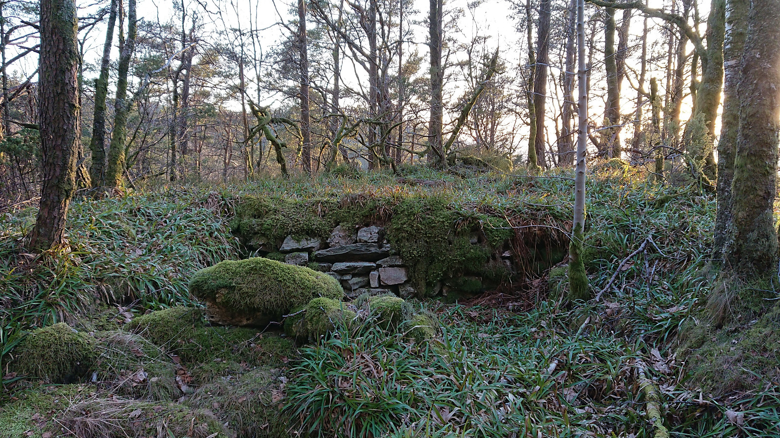
After LarsKr (Lars Kristian Inderhaug) made me aware of some unknown ruins east of Munkebotsvatnet, I of course had to take a closer look. The first ruin, referred to as Ruin SØ for Fjellstova, was found less than 100 meters southeast from the ruins of Fjellstova and was easily reached by following a weak trail/deer track from Fjellstova, which itself is only a short detour from the main trail to Sandvikshytten. This one I had also passed by on an earlier hike more than a year ago, but I cannot remember whether I noticed the ruins during that hike.
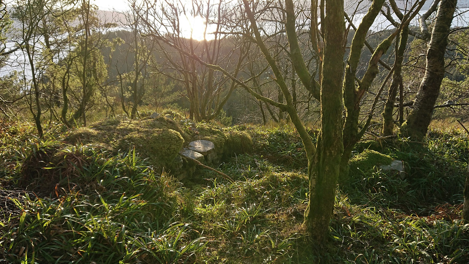
I continued southeast along a weak trail/deer track in the direction of the second ruin, referred to as Ruin vest for Brennhaugen. This one I had not visited before, and probably would not have come across if it was not for the directions provided by Lars Kristian, even though these were the most visible ruins, albeit in an area that is clearly off the beaten track.
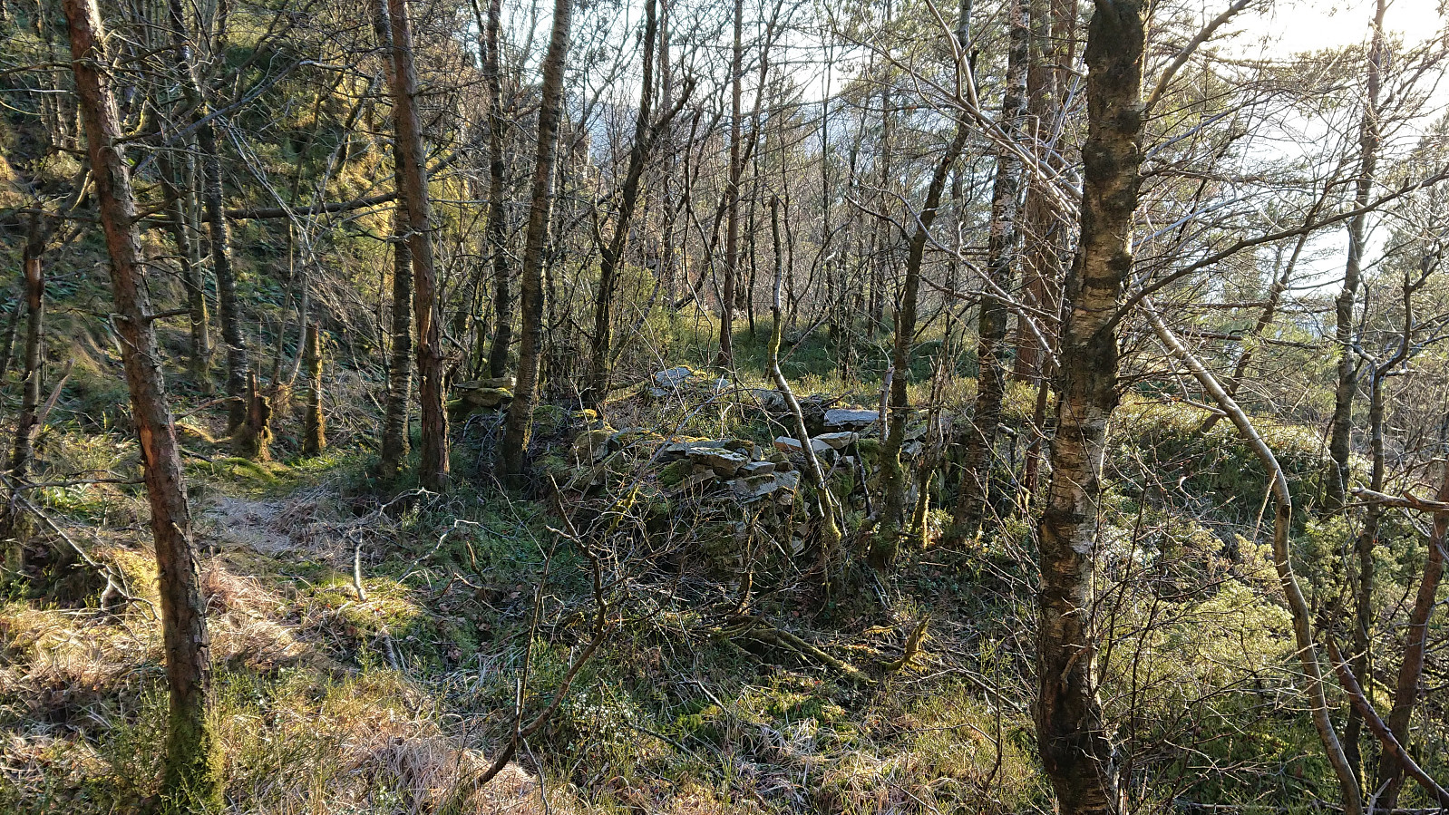
From this location I could have continued over the small hill south of Brennhaugen, but decided to rather descend to the trail east of Munkebotsvatnet. A trail which I then followed almost all the way to the final unknown ruin of the day, referred to as Ruin nord for Ankerhytten. Yet another ruin I would not have come across on my own, as it was not visible from the trail and thus required a very short detour.
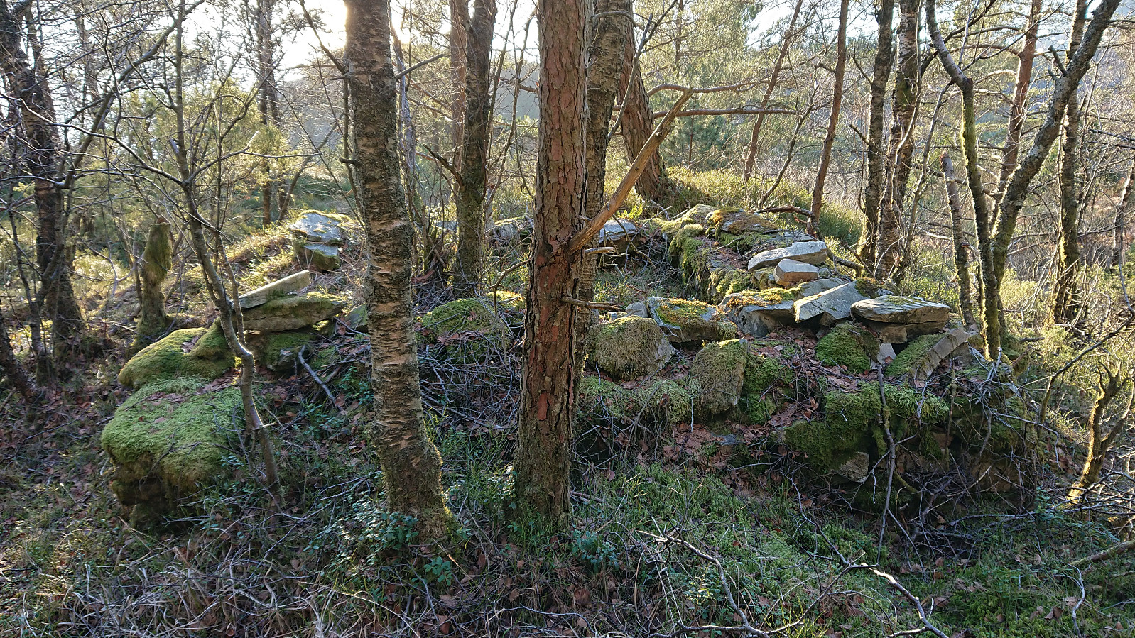
Sadly, I have not been able to find any additional information about the three ruins, and only the ruin west of Brennhaugen can be spotted in the aerial photos from 1951, but is then already a ruin. In other words, any suggestions are welcome! Thanks again to Lars Kristian for the tip!

| Start date | 09.03.2021 16:23 (UTC+01:00) |
| End date | 09.03.2021 18:42 (UTC+01:00) |
| Total Time | 2h 19min |
| Moving Time | 2h 12min |
| Stopped Time | 0h 7min |
| Overall Average | 4.1km/h |
| Moving Average | 4.3km/h |
| Distance | 9.5km |
| Vertical meters | 504m |


User comments
Det er flere :)
Written by Syvfjell 04.11.2023 21:44Det er enda flere i det "flate" området nedenfor Brennhaugene og før Ankerhytten.