
Løvstakken via Storavatnet (04.03.2021)

Geschrieben von hbar (Harald Barsnes)

| Startpunkt | Puddefjordsbroen (14m) |
|---|---|
| Endpunkt | Torget (3m) |
| Tourcharakter | Bergtour |
| Tourlänge | 5h 28min |
| Entfernung | 14,3km |
| Höhenmeter | 782m |
| GPS |
|
| Besteigungen | Løvstakken (478m) | 04.03.2021 |
|---|---|---|
| Haug nord for Svartatjørna (193m) | 04.03.2021 | |
| Haug vest for Svartatjørna (180m) | 04.03.2021 | |
| Besuche anderer PBE | Fossen (200m) | 04.03.2021 |
| Krohnegården p-plass (160m) | 04.03.2021 | |
| Puddefjordsbroen (28m) | 04.03.2021 | |
| Tuft nord for Vardheim (Løvstakken) (320m) | 04.03.2021 |
Løvstakken via Storavatnet
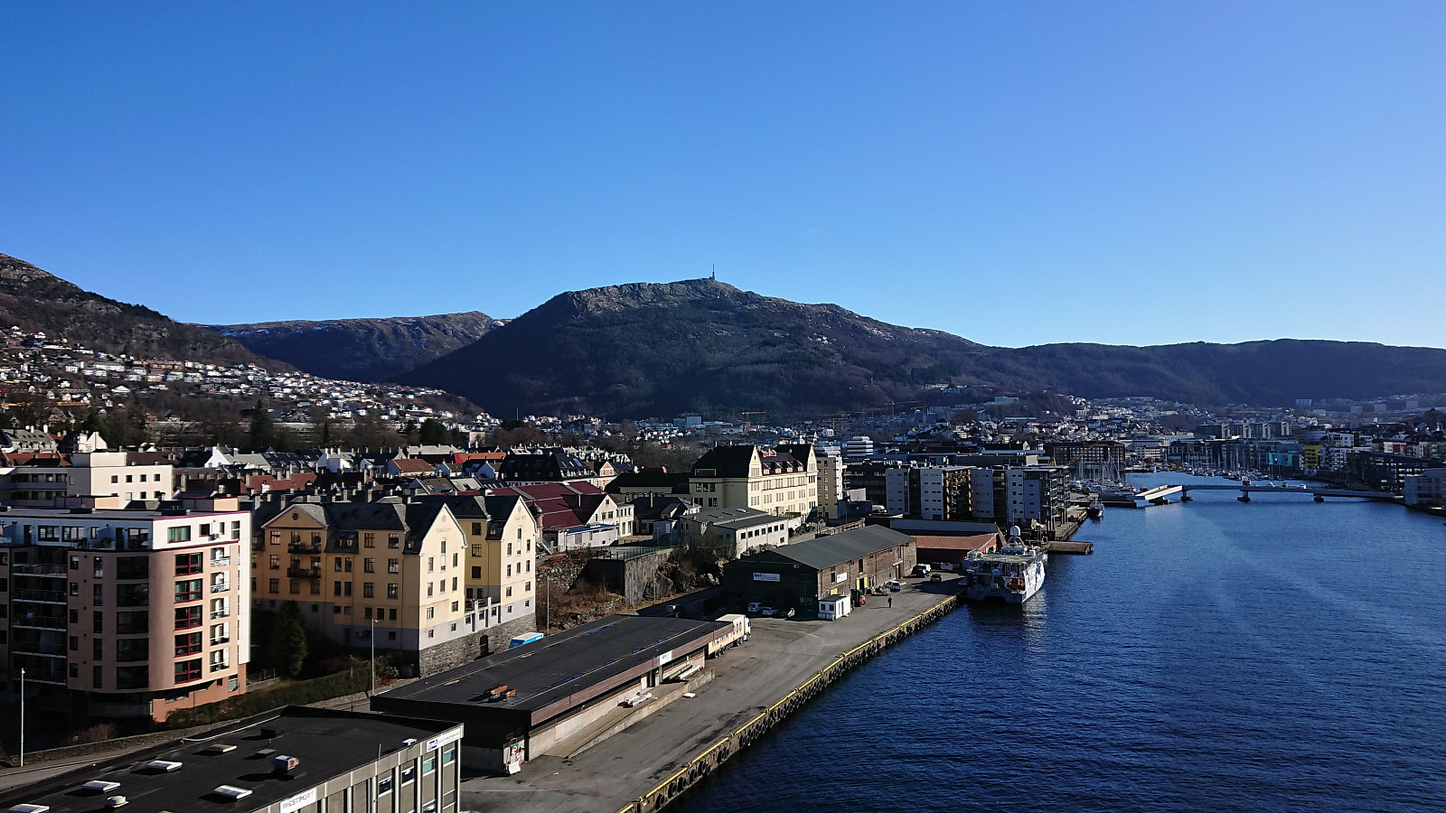
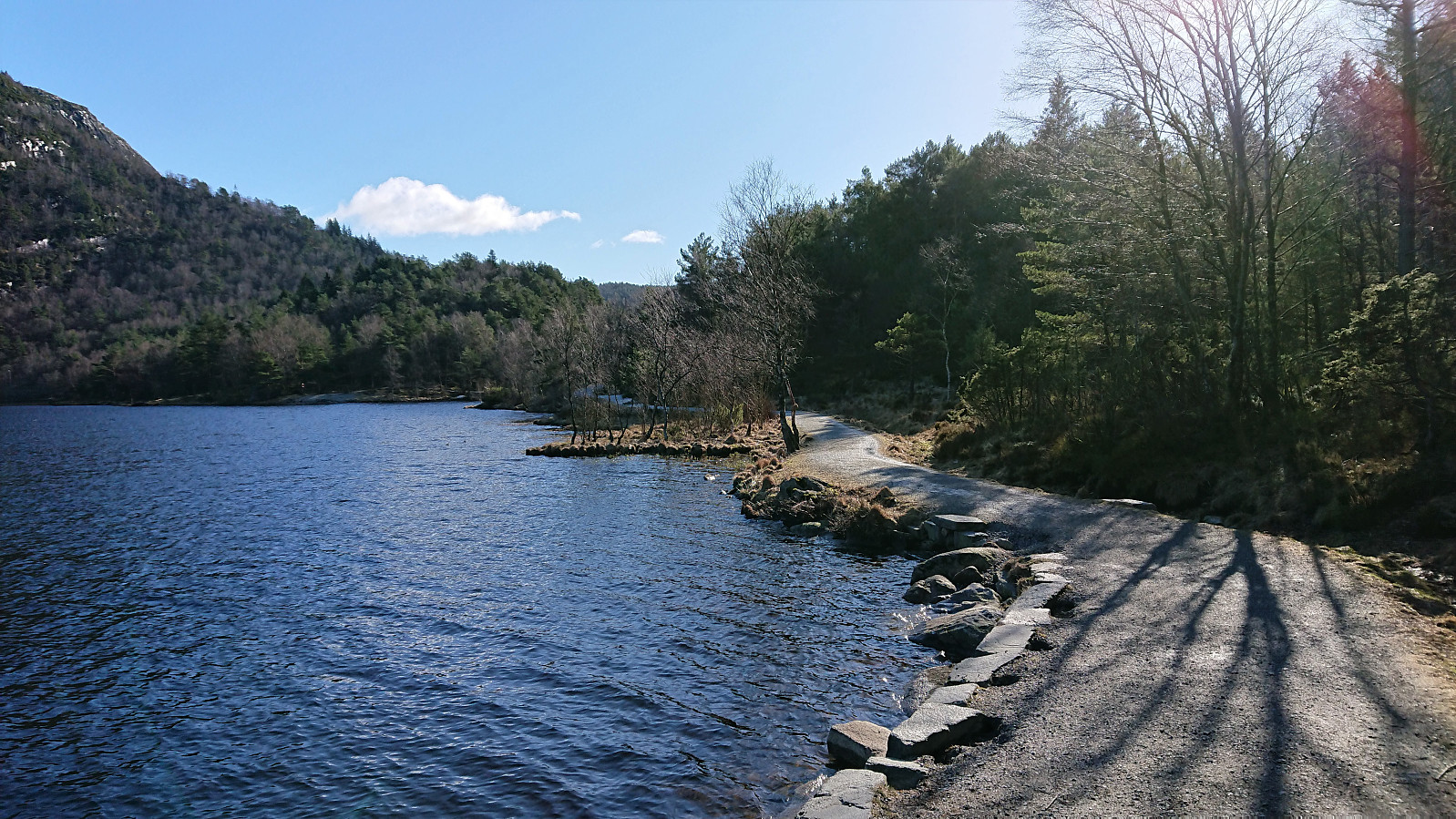
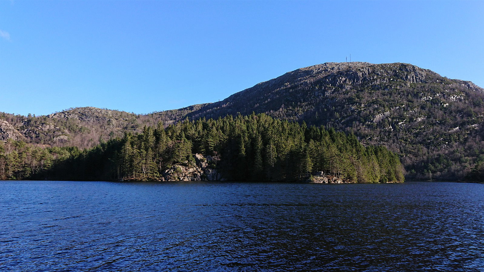
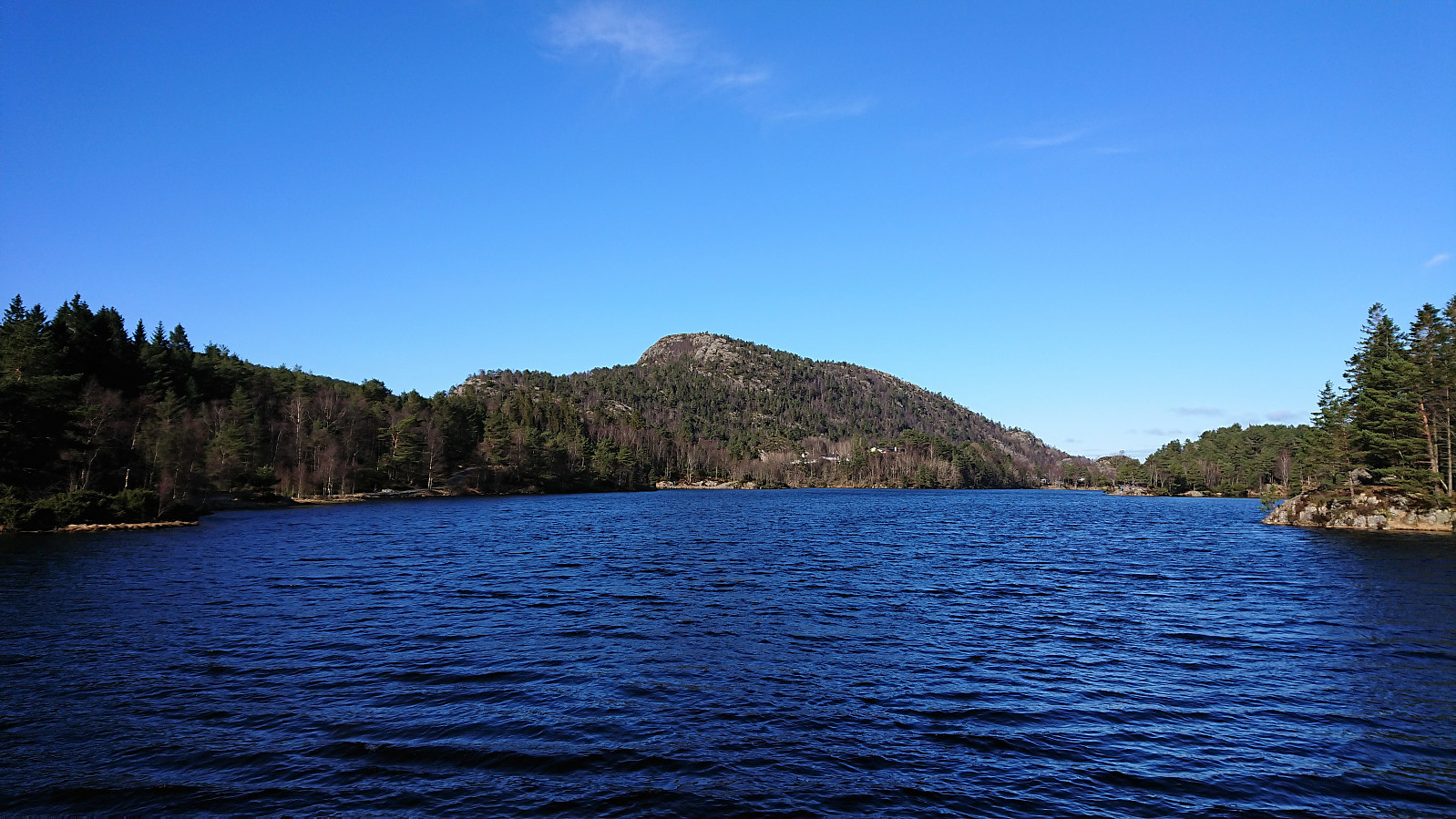
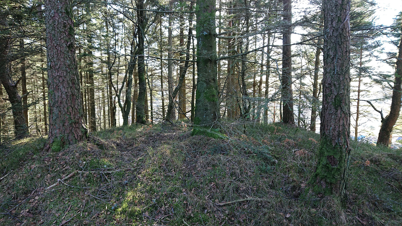
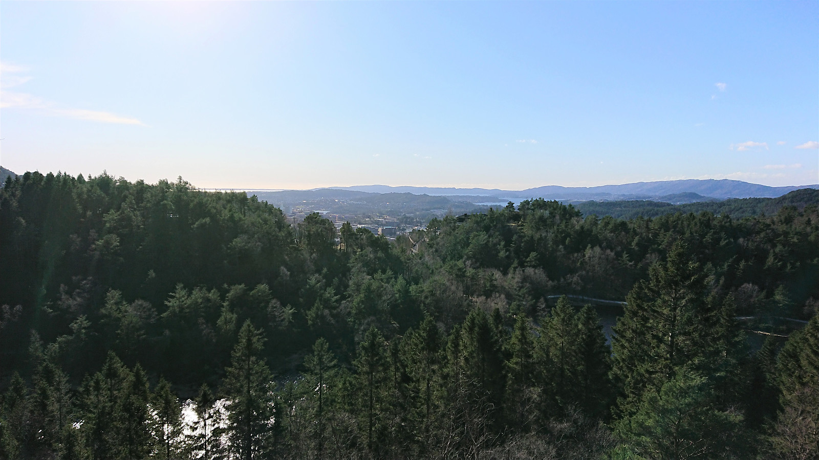
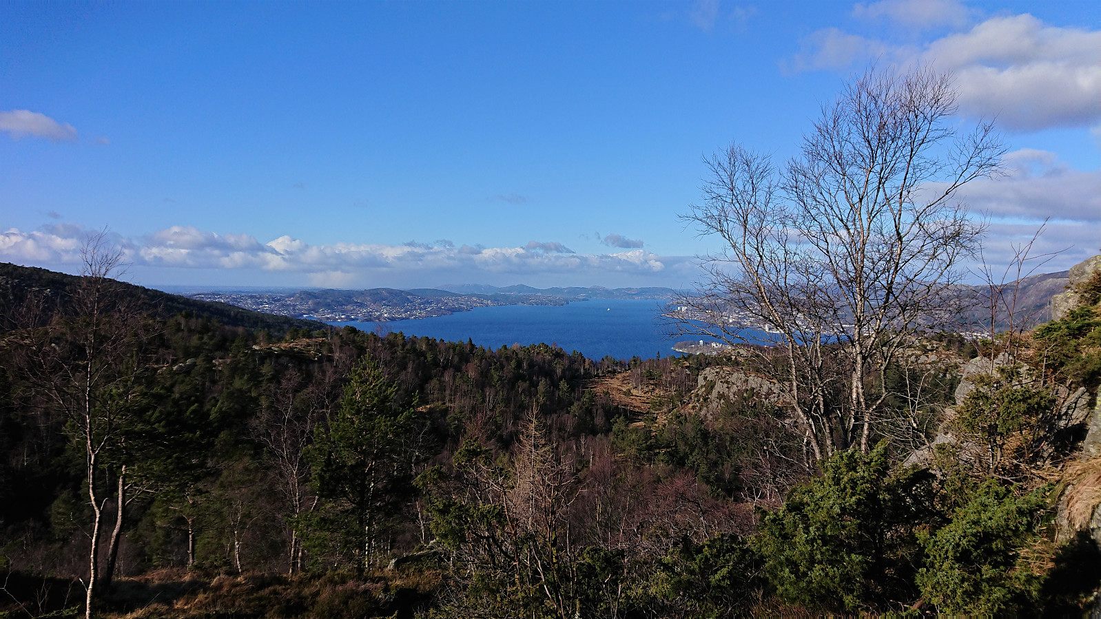
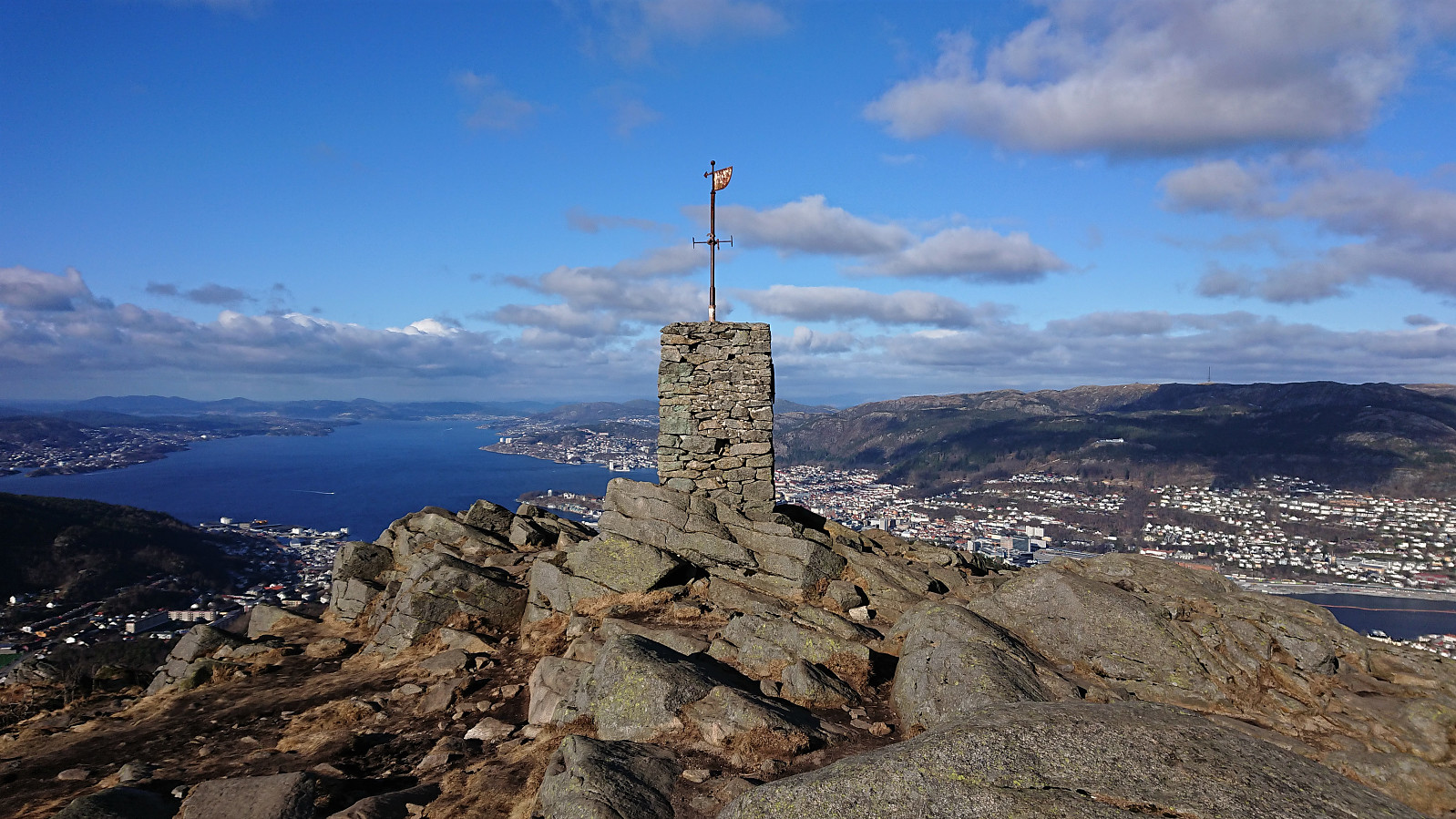
Given the excellent weather I decided take the afternoon off for a hike to Løvstakken, and even managed to convince a colleague to join. On the way there we also visited the two small hills on the southern end of Storavatnet, where only the northern one had a proper trail to the summit. For the southern one we found a trail/animal track that could be followed all the way to the summit, while the descent was off-trail but still straightforward.
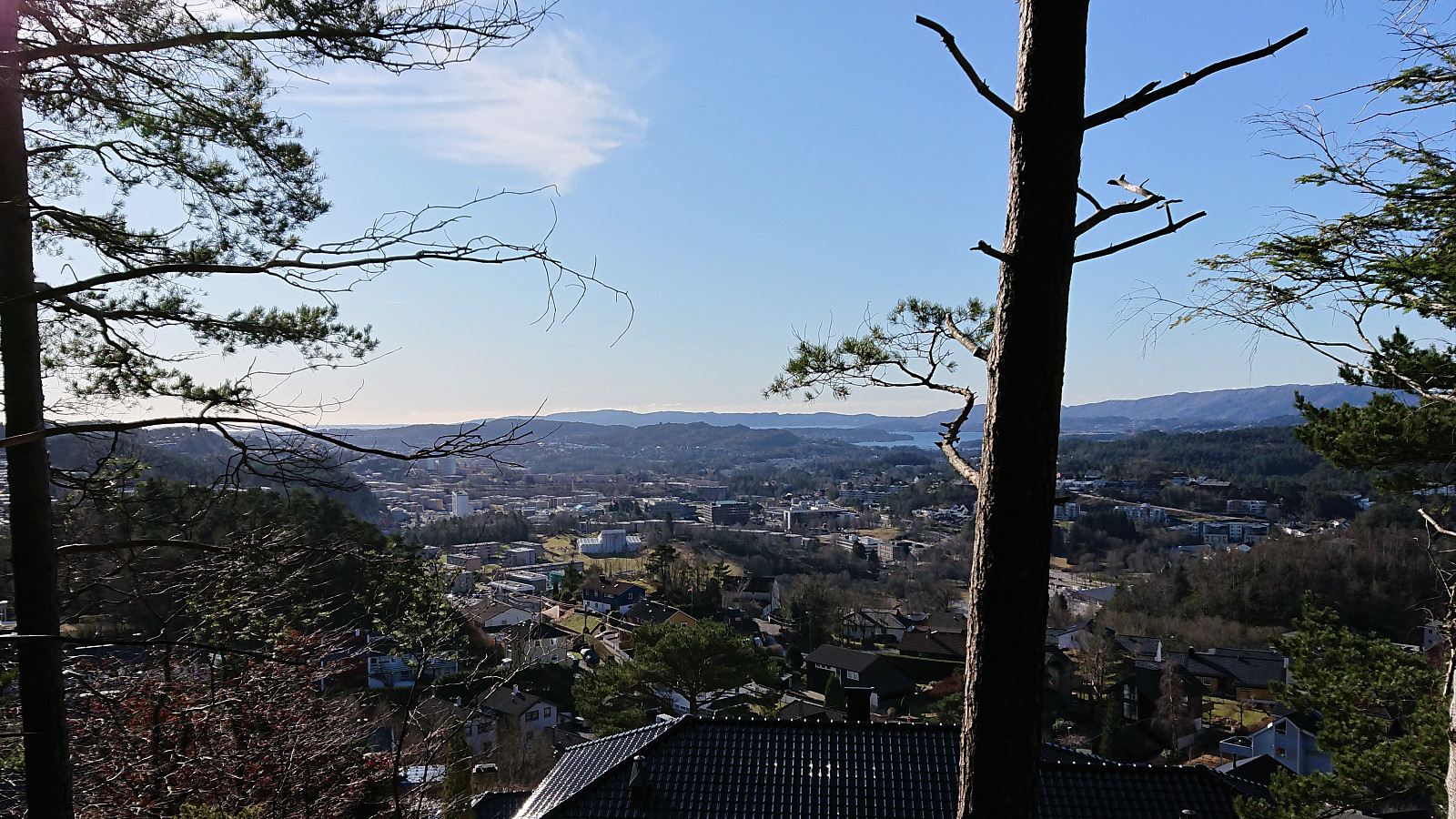
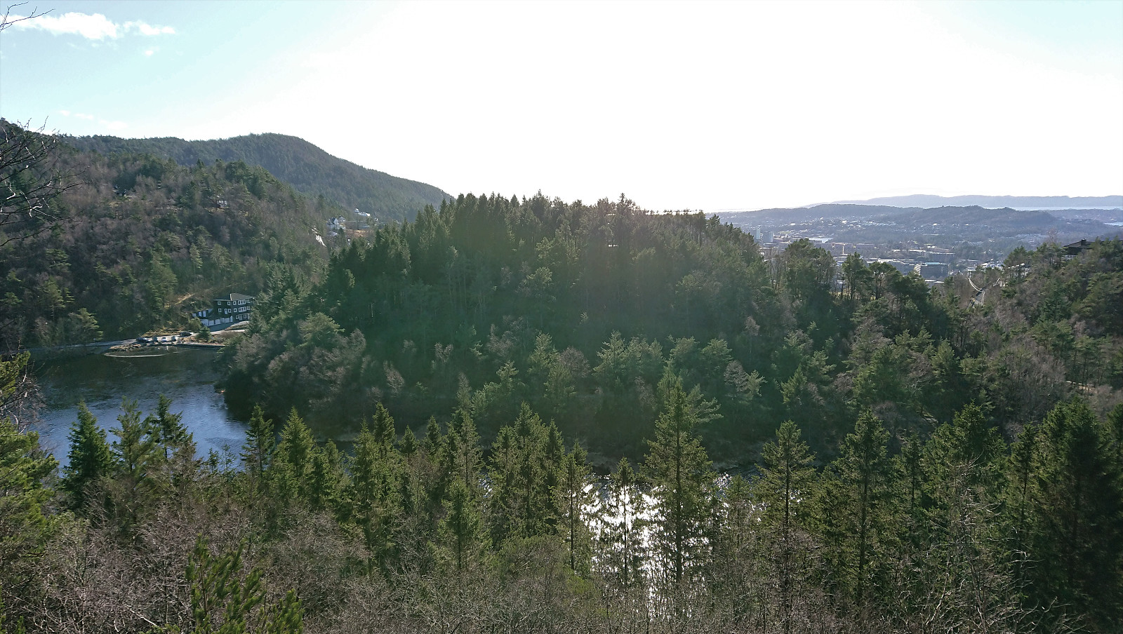
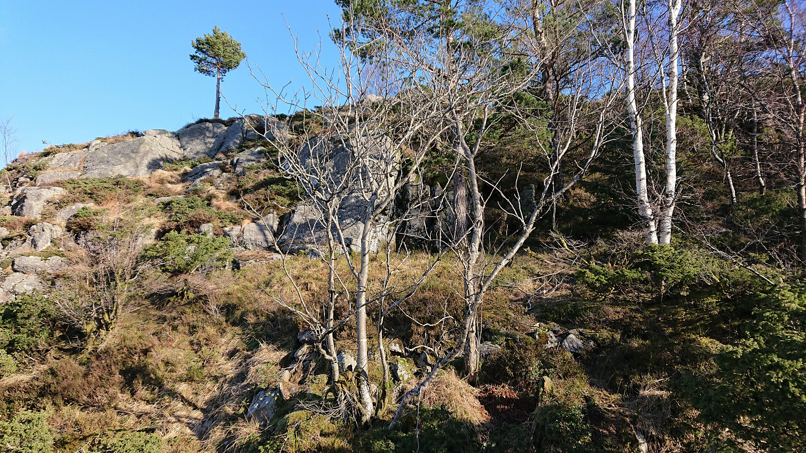
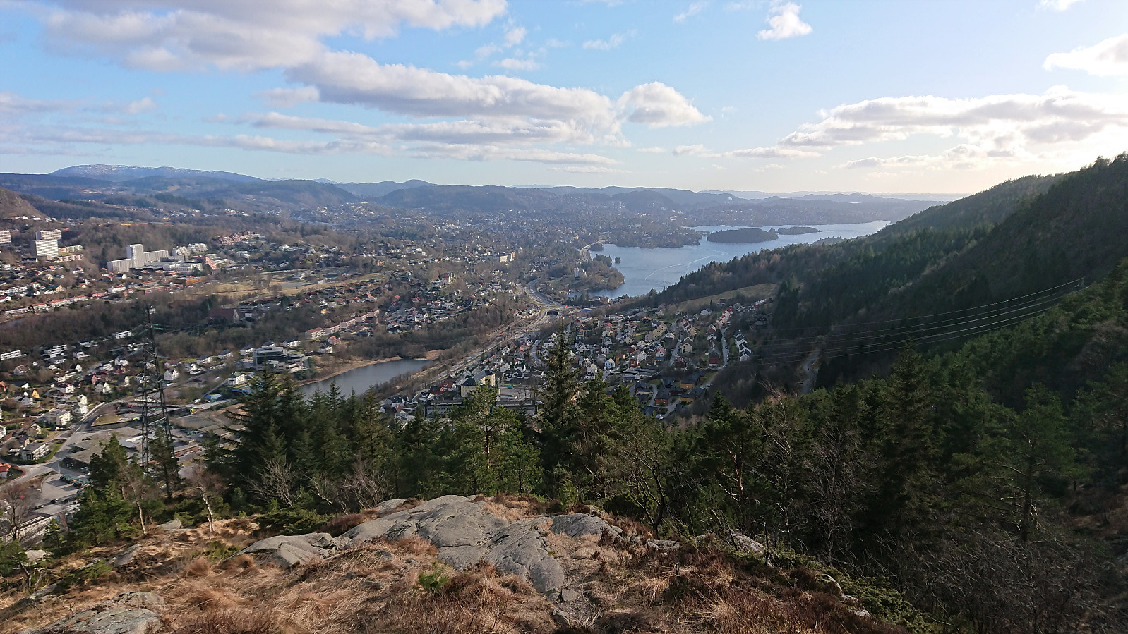
Limited views from both summits, but very nice views could be obtained if heading to the 191.1 hill 25 meters west of the summit of Haug nord for Svartatjørna. On the way to Løvstakken I also made a quick detour on my own to some unnamed ruins that I had not previously visited north of the ruins of Vardheim.
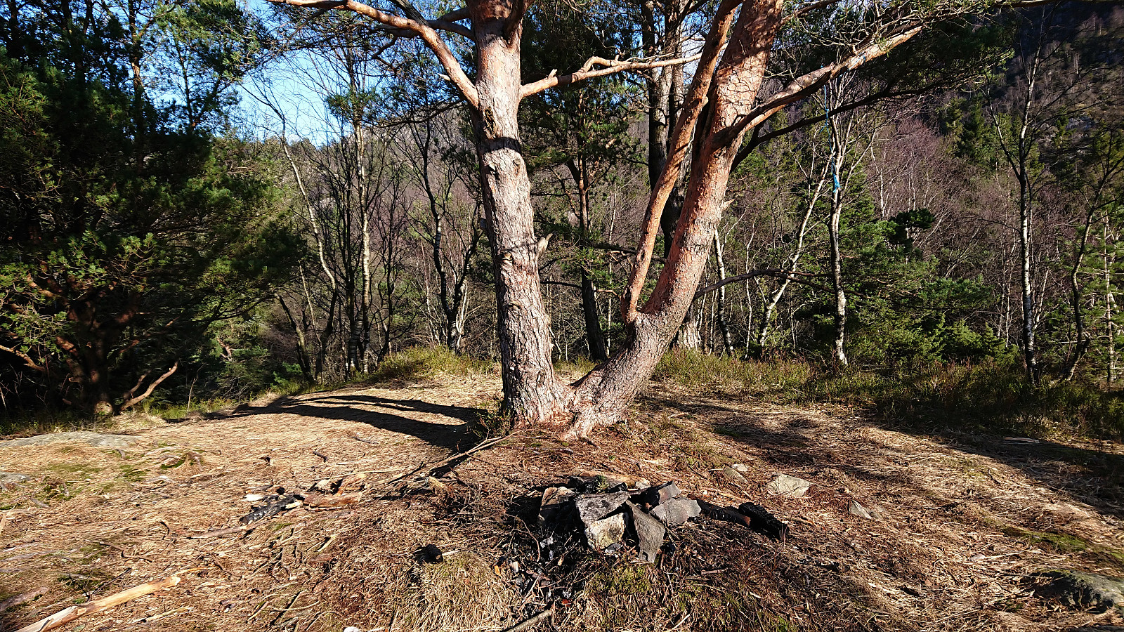
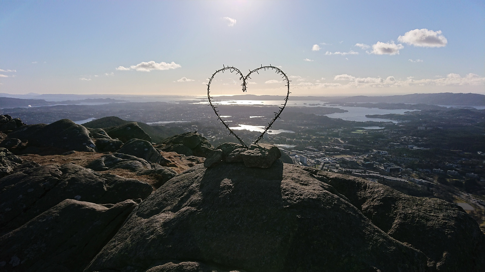
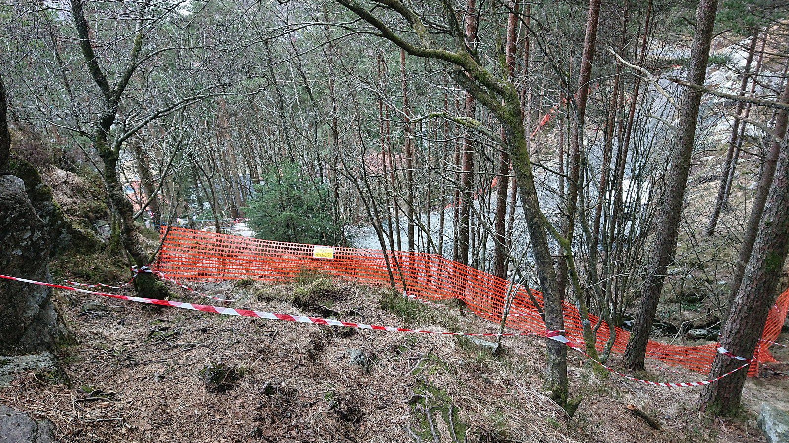
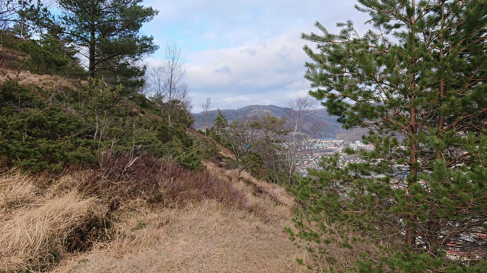
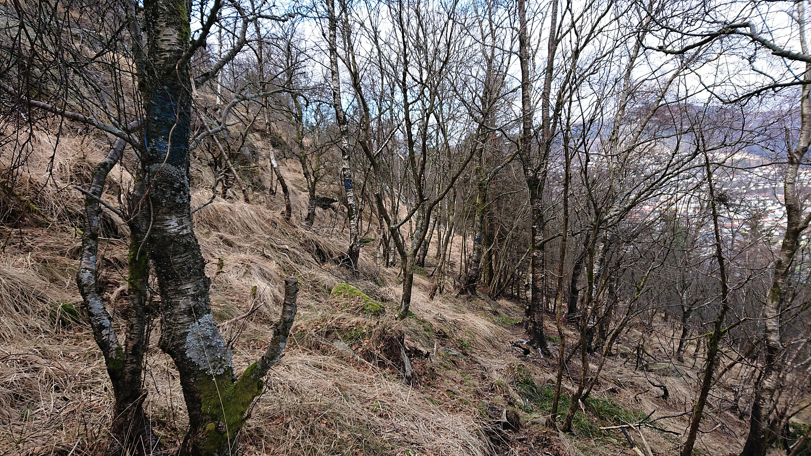
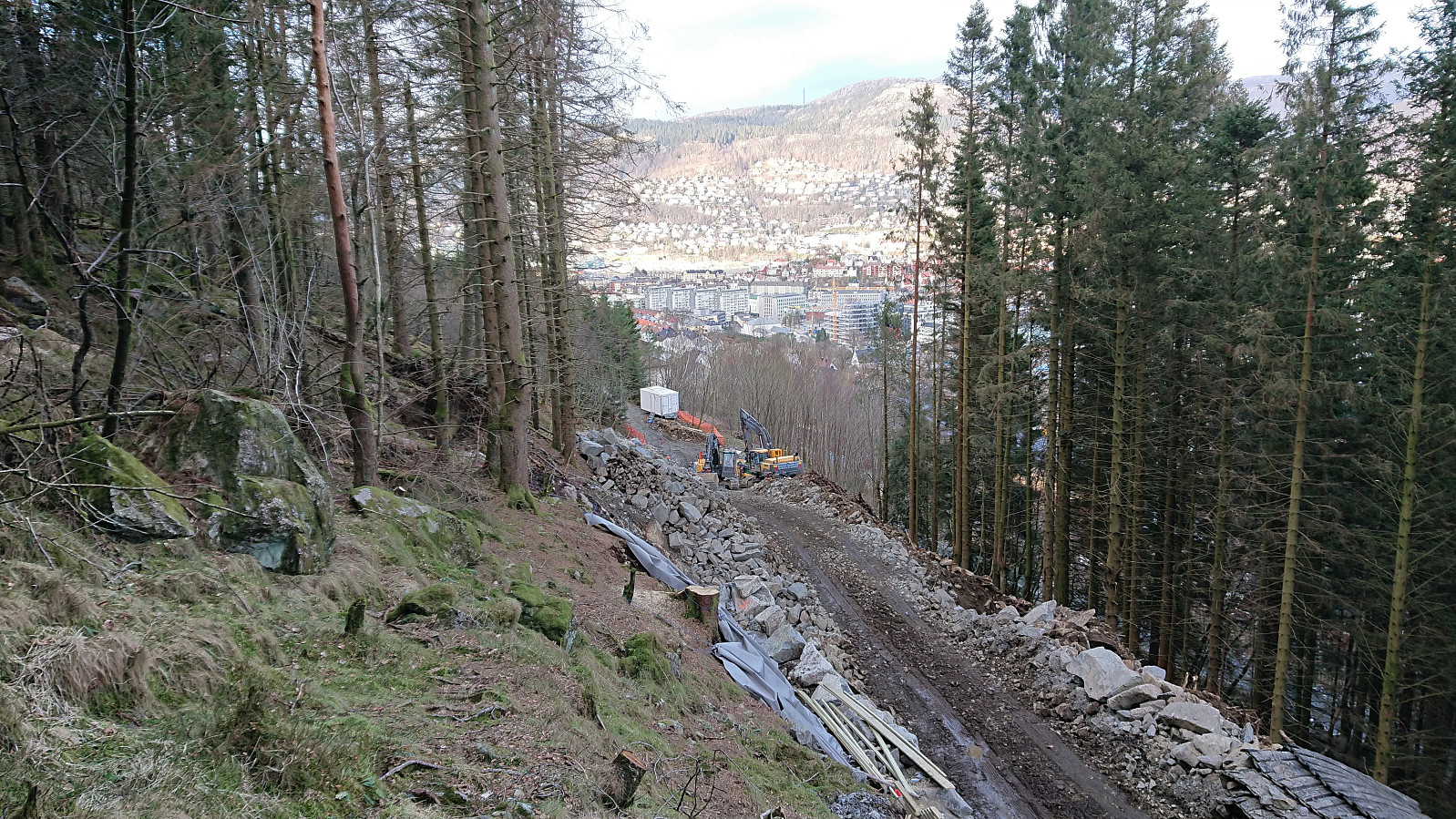
Cold wind at the top of Løvstakken, hence we did not stay long before starting our descent where we attempted a (for us) new trail down to the northern end of the southern part of Løvstien. This was a very nice trail with excellent views along the way. However, when we were almost down to Løvstien we came across signs that the trail was closed due to construction work (they are working on extending Løvstien and connecting the two halves). Did not seems like there was any work going on this afternoon, but in order to play it safe, we retraced our steps for about 150 meters, and instead went for an alternative trail we had noticed earlier.
This trail was marked with blue (and sometimes yellow/orange paint) and started more or less exactly where the main trail crossed under the overhead power line. It was relatively easy to follow and took us north towards the southern end of the northern part of Løvstien. Here we yet again came across the construction work on Løvstien!
But this time there was no going back and thankfully there was no activity here either. In any case, we made a minor detour to avoid the main construction site, and soon finally reached the paved road in Kristian Bings vei.
Overall a very nice hike that can be highly recommended. However, it is probably best to wait with the trails we tried to use to connect with Løvstien until the construction work as moved further away from the two respective trailheads...
| Startzeitpunkt | 04.03.2021 12:06 (UTC+01:00) |
| Endzeitpunkt | 04.03.2021 17:34 (UTC+01:00) |
| Gesamtzeit | 5h 28min |
| Zeit in Bewegung | 4h 42min |
| Pausenzeit | 0h 46min |
| Gesamtschnitt | 2,6km/h |
| Bewegungsschnitt | 3,0km/h |
| Entfernung | 14,3km |
| Höhenmeter | 782m |


Benutzerkommentare