
To Mount Sulafjellet in Bad Weather (09.01.2021)

Written by Solan (Atle Solholm)

| Start point | Mausavatnet (50m) |
|---|---|
| Endpoint | Mausavatnet (50m) |
| Characteristic | Hike |
| Duration | 2h 46min |
| Distance | 11.4km |
| Vertical meters | 794m |
| GPS |
|
| Ascents | Vardane (776m) | 09.01.2021 |
|---|---|---|
| Visits of other PBEs | Mauseid p-plass (50m) | 09.01.2021 |
| Rollonhytta (390m) | 09.01.2021 15:00 |
Mount Sulafjellet is a mountain that I've ascended multiple times, and yet I will probably ascend that mountain even more times in the future; as it is not too far away from where we live, and also because it's feasible to climb even when there's too much snow to climb many other mountains around here. The mountain has several peaks, the highest of which has been named Tverrfjellet [i.e. "The Transverse Mountain"], though most people today just call it Vardane [i.e. "The Cairns"], due to the many cairns that mountain hikers have built up there.
The most feasible way to ascend this mountain is to start out from the parking lot at Mauseid (see map), and then follow a gravel road through the forests up to a cottage called Rollonhytta. The parking lot is located at about 50 m.a.m.s.l.; and the gravel road is ascending at a pleasant rise, so you won't wear yourself out on this part of the hike. For someone unfamiliar with this mountain, it's easiest to just follow the gravel road; whereas for locals it is possible at one spot to take a shortcut using a simple forest trail that shortens the route a little bit. After a heavy rainfall, however, it is generally recommended for everyone to just follow the road, as the forest trail is often quite muddy, and goes through mire a number of places. Rollonhytta Cottage is located at about 390 m.a.m.s.l. It is possible to rent a room if you want to spend a night there while hiking the various peaks of Mount Sulafjellet, but I think you have to contact the sports club that owns the cottage in advance in order to do so. The cottage has 37 beds all in all, and is owned by the Rollon Sports Club; a sports club otherwise located in Ålesund. The sports club, and consequently its cottage, has been named after the renown local viking called Hrólfr Rögnvaldsson or Gange-Rolv; the one that eventually became duke of Normandy, and whom the French even today refer to as Rollon.
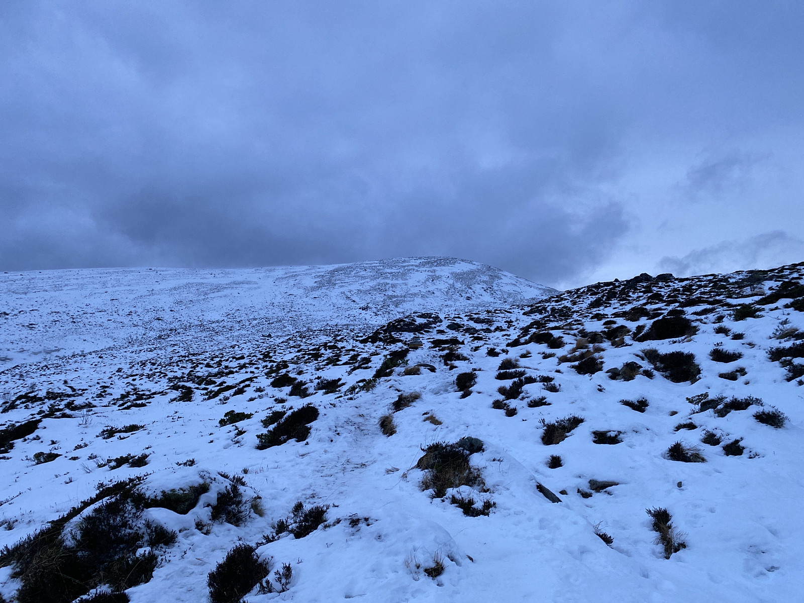
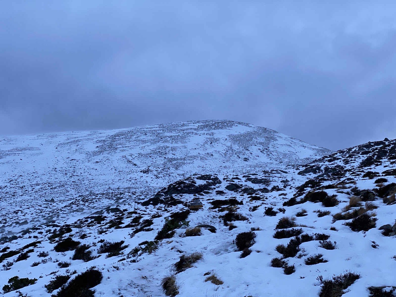
The forest road ends at the cottage, but the trail up to Mount Tverrfjellet continues as a nice, and normally readily visible path. On this day, the path was covered by snow at least for most of the way, however; and to be honest, I would have had to turn around and abandon my attempt at ascending this mountain on this particular day, had it not been that I have climbed it so many time, that I know the way quite well. (And moreover, I had an advanced GPS with me, just in case...). As I approached the summit, the wind got gradually stronger; and as I walked across the summit plateau of the mountain; I had to walk in an oblique manner, leaning heavily to my left side, in order not to be thrown to the ground, or over the edge of the cliff that was on my right side. Fortunately, I had on my feet a brand new pair of huge crampons that I recently purchased; and so I didn't have to worry about slipping in this strong wind.
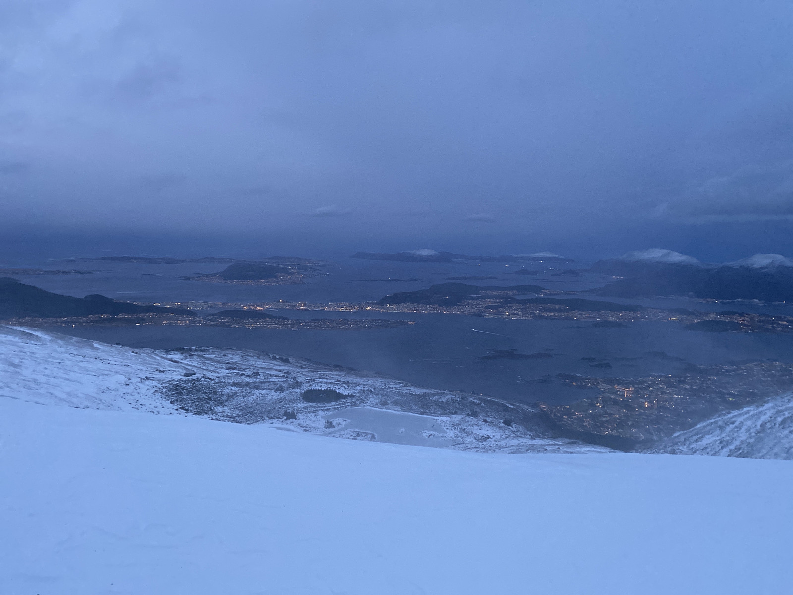
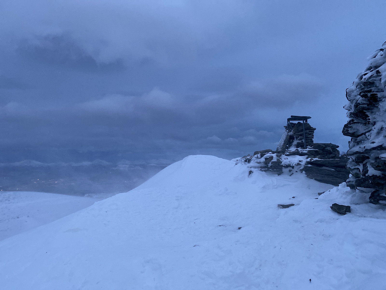
On the summit I just shot a couple of images (Images ## 3 & 4), and then embarked upon my descent. For my descent, I just did as I had just done when ascending the mountain; and somehow managed to walk according to memory, as I couldn't actually see the path until I was approaching Rollonhytta cottage. Once at the cottage, everything became easier, though; as from there it's just to follow the gravel road back down to the parking lot, though I did choose the above mentioned short-cut through the forest even for my descent.


User comments