
Røttingen diving tower and Ternhaugen (29.12.2020)

Geschrieben von hbar (Harald Barsnes)

| Startpunkt | Røttingen snuplass (15m) |
|---|---|
| Endpunkt | Lepsøyvegen (8m) |
| Tourcharakter | Bergtour |
| Tourlänge | 2h 03min |
| Entfernung | 6,7km |
| Höhenmeter | 188m |
| GPS |
|
| Besteigungen | Ternhaugen (45m) | 29.12.2020 |
|---|---|---|
| Besuche anderer PBE | Pilabruo (1m) | 29.12.2020 |
| Røttingen stupetårn (1m) | 29.12.2020 |
Røttingen diving tower and Ternhaugen
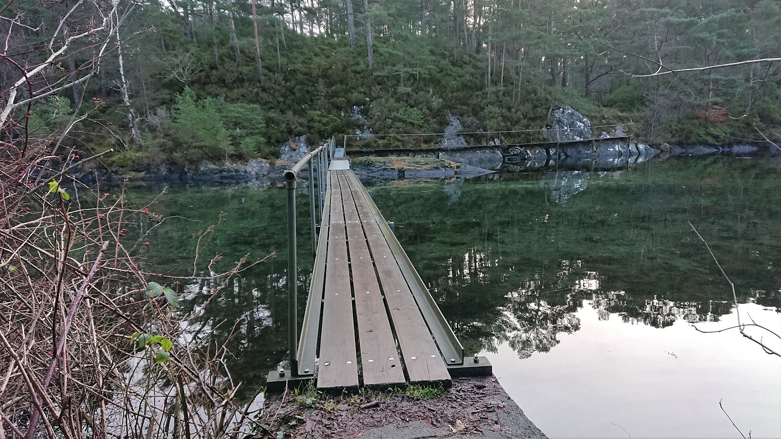
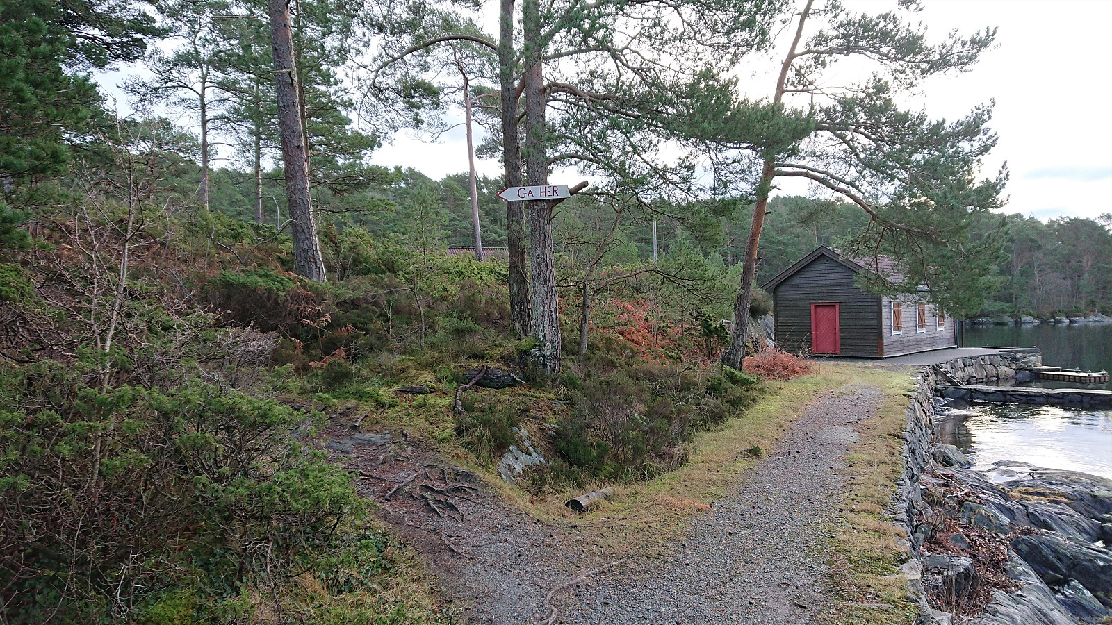
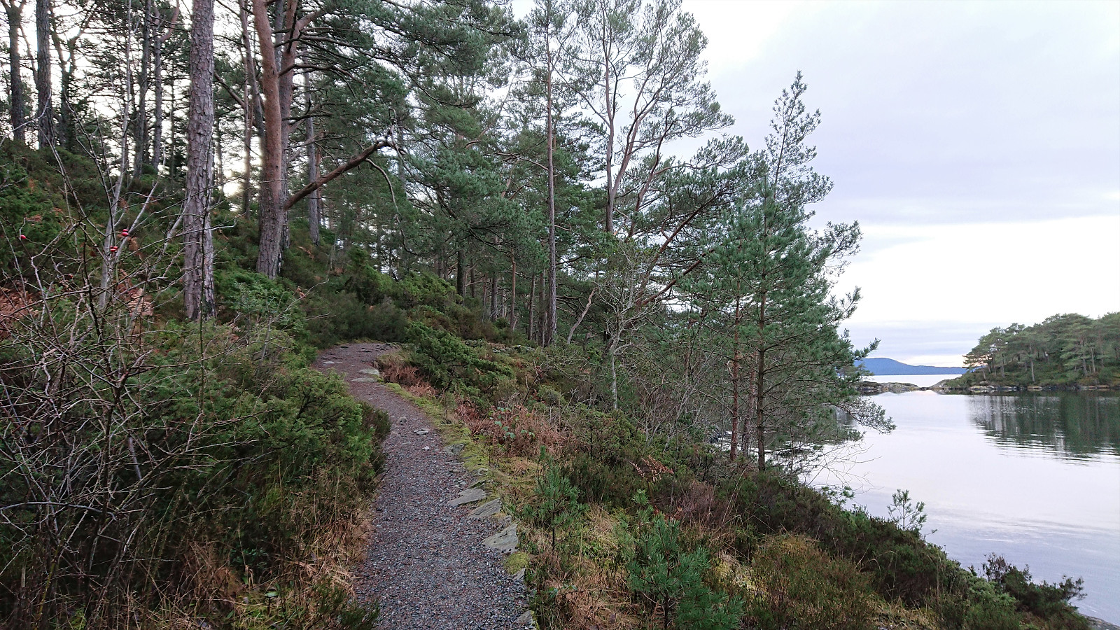
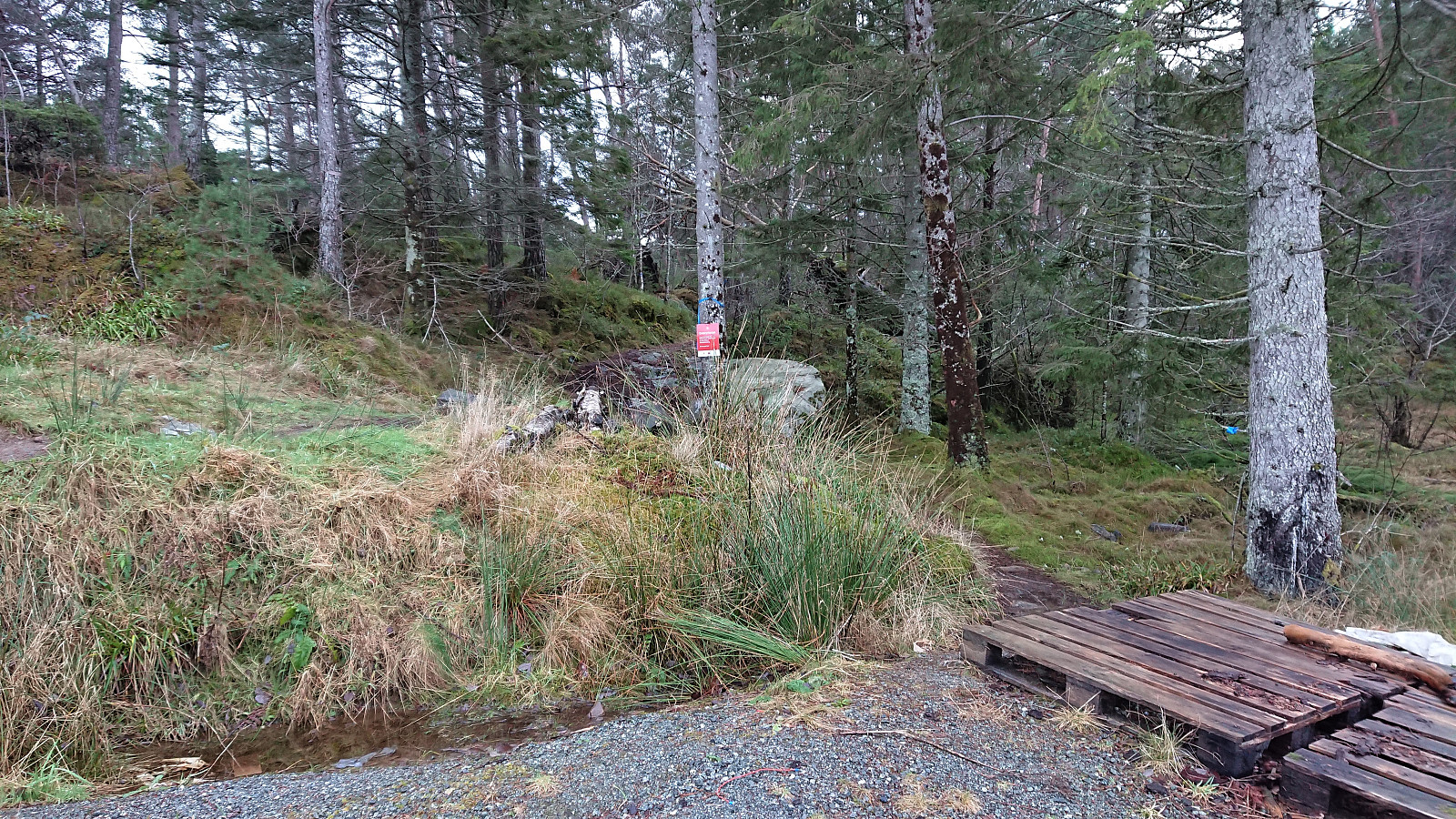
Started by taking the bus to Røtinga/Røttingen and got off at the final bus stop called Røttingen snuplass. I then headed south to locate the partially hidden unmarked trailhead that brought me down to Skitnevågen and Pilabruo, the latter which is not indicated on the map, I assume given its modest size.
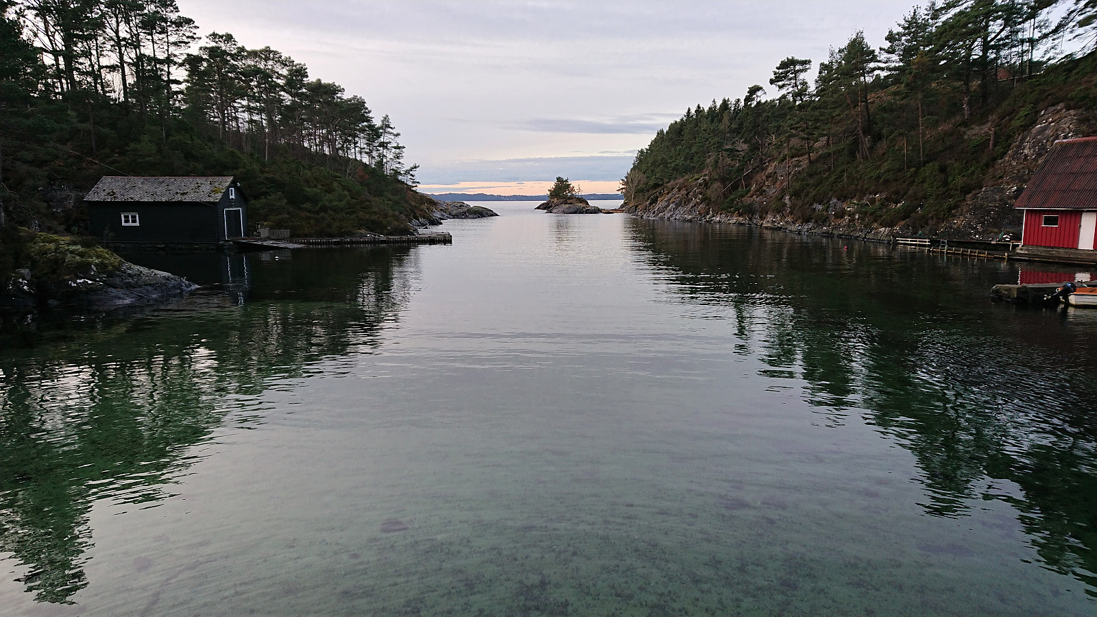
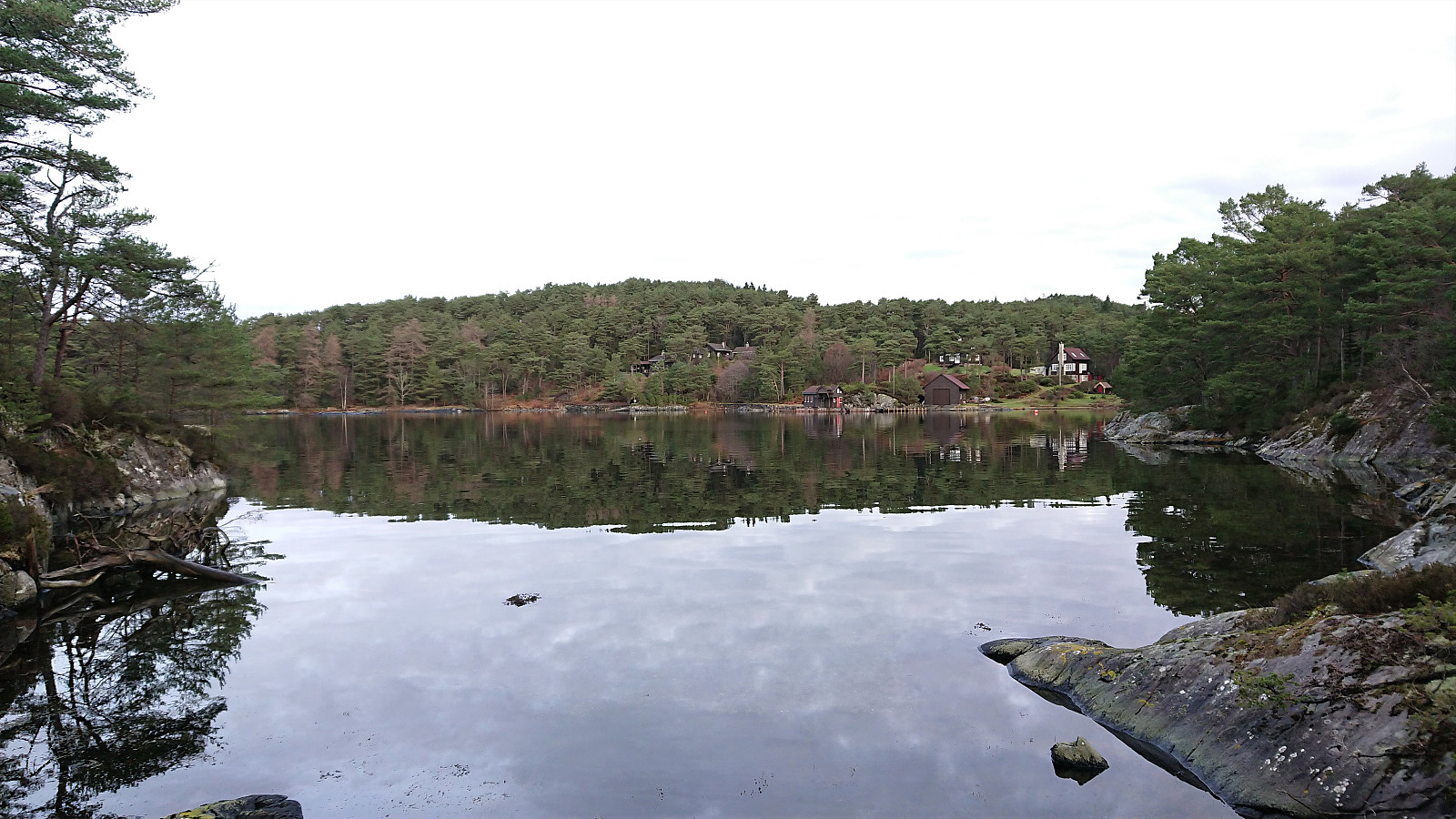
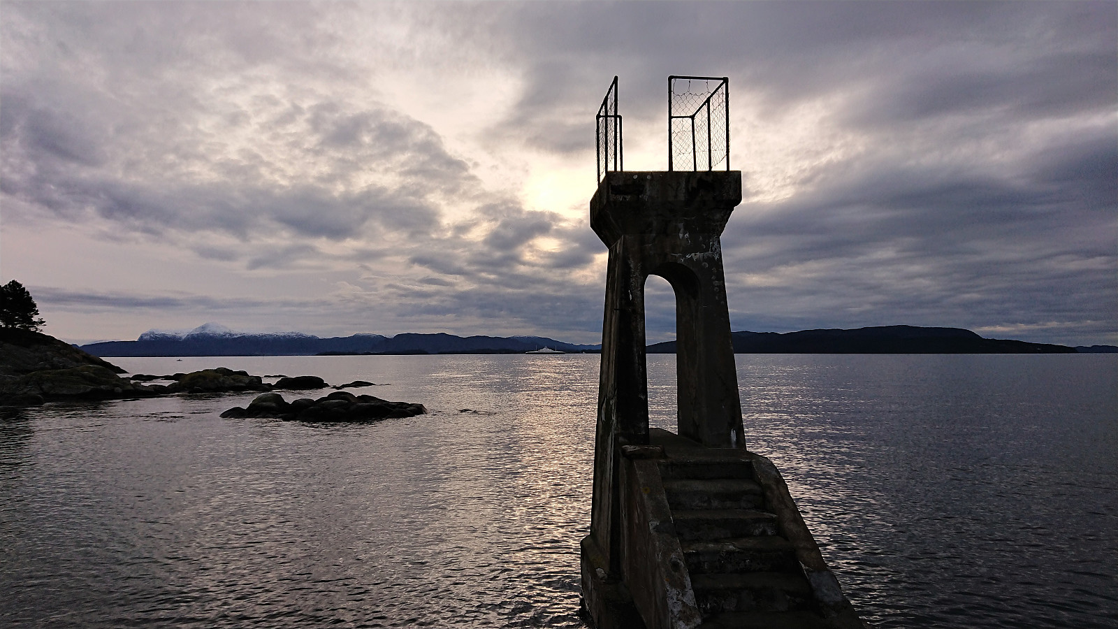
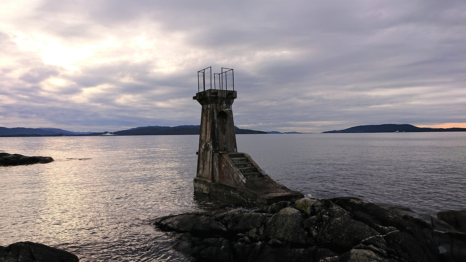
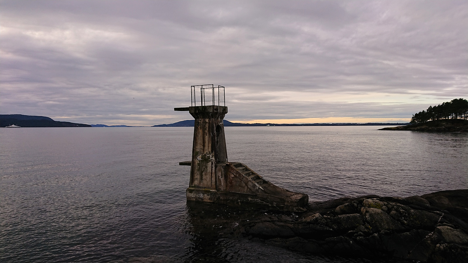
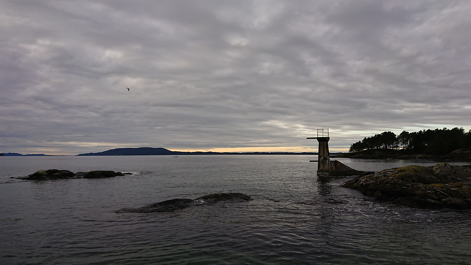
From there on the trail was marked, or at least it had been at some point, but many of the trail markers were missing. Having the GPS-track from Kjell51 (Kjell Øijorden)'s trip report therefore came in handy at times. I soon passed the cabins in Kobbavågen and shortly arrived at the diving tower to the south for the best and most interesting views of the day. The tower was probably built between 1930 and 1933 and has also been used as a location in a novel by Gunnar Staalesen (source: turorientering.no).
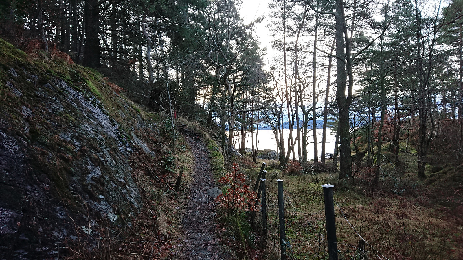
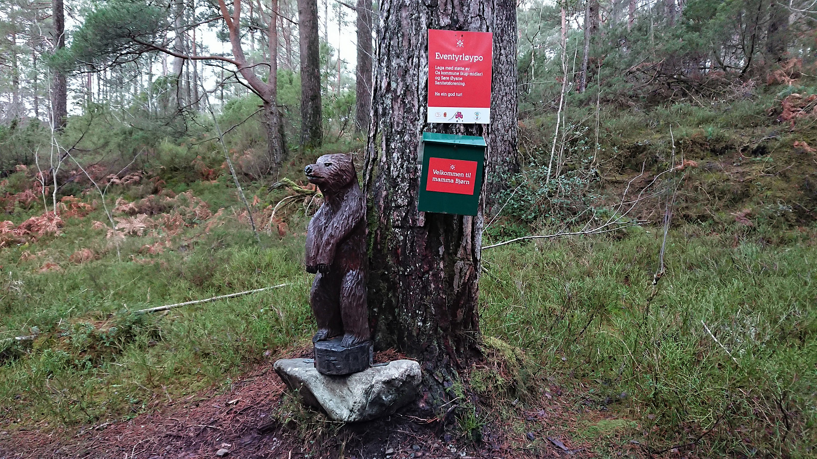
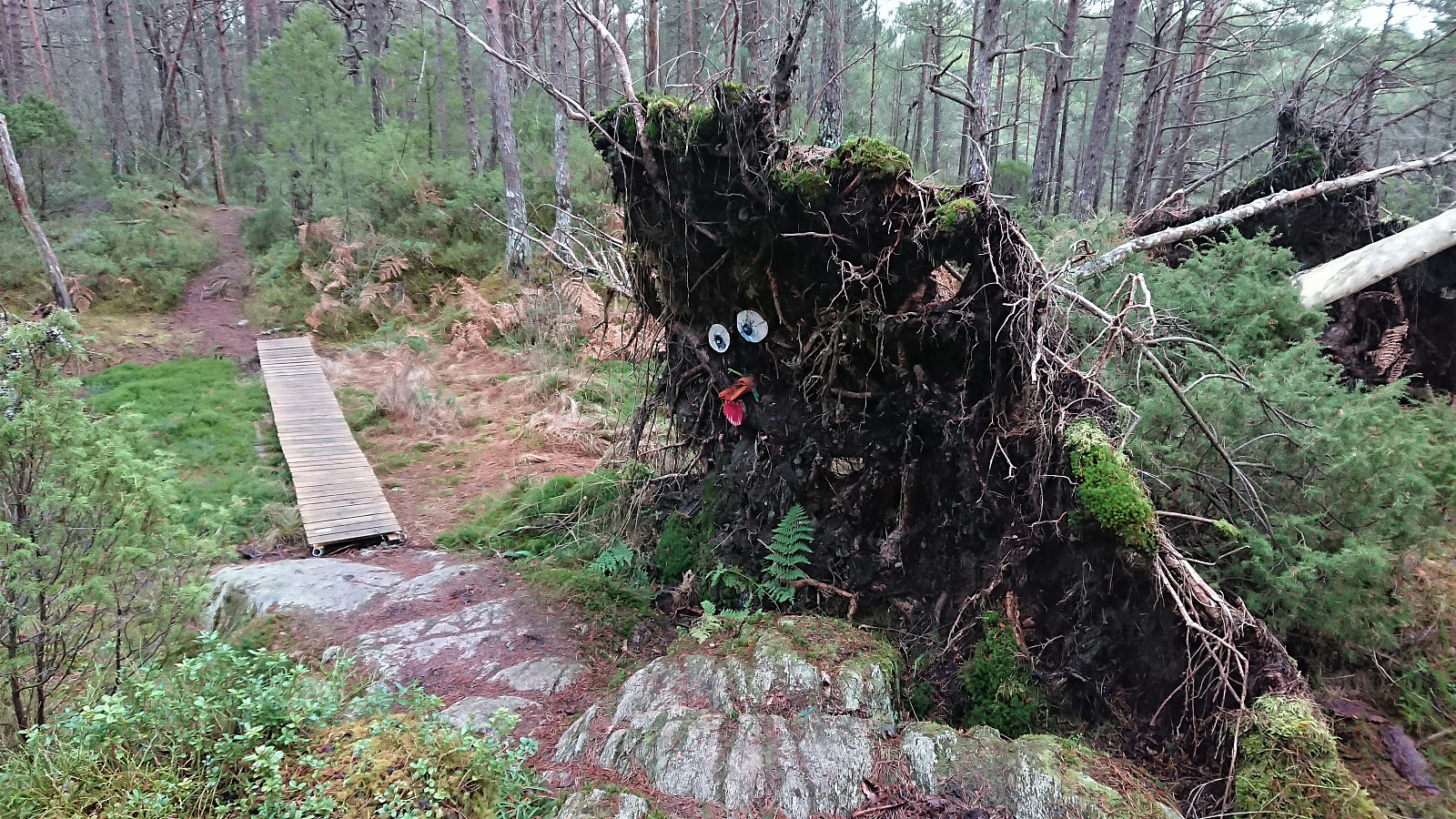
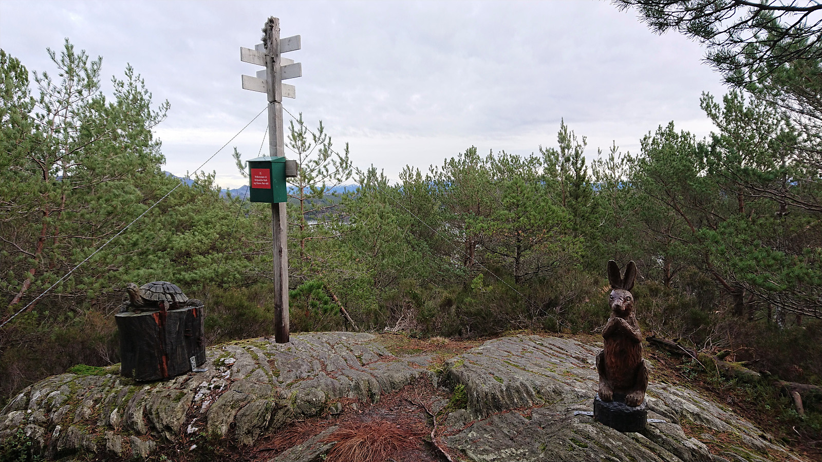
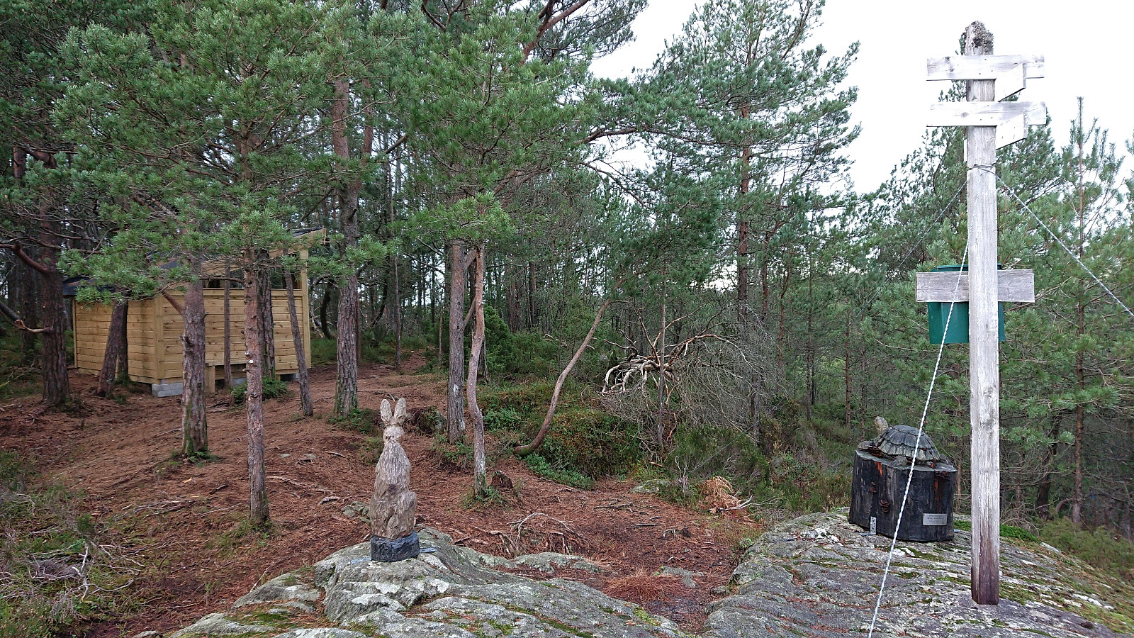
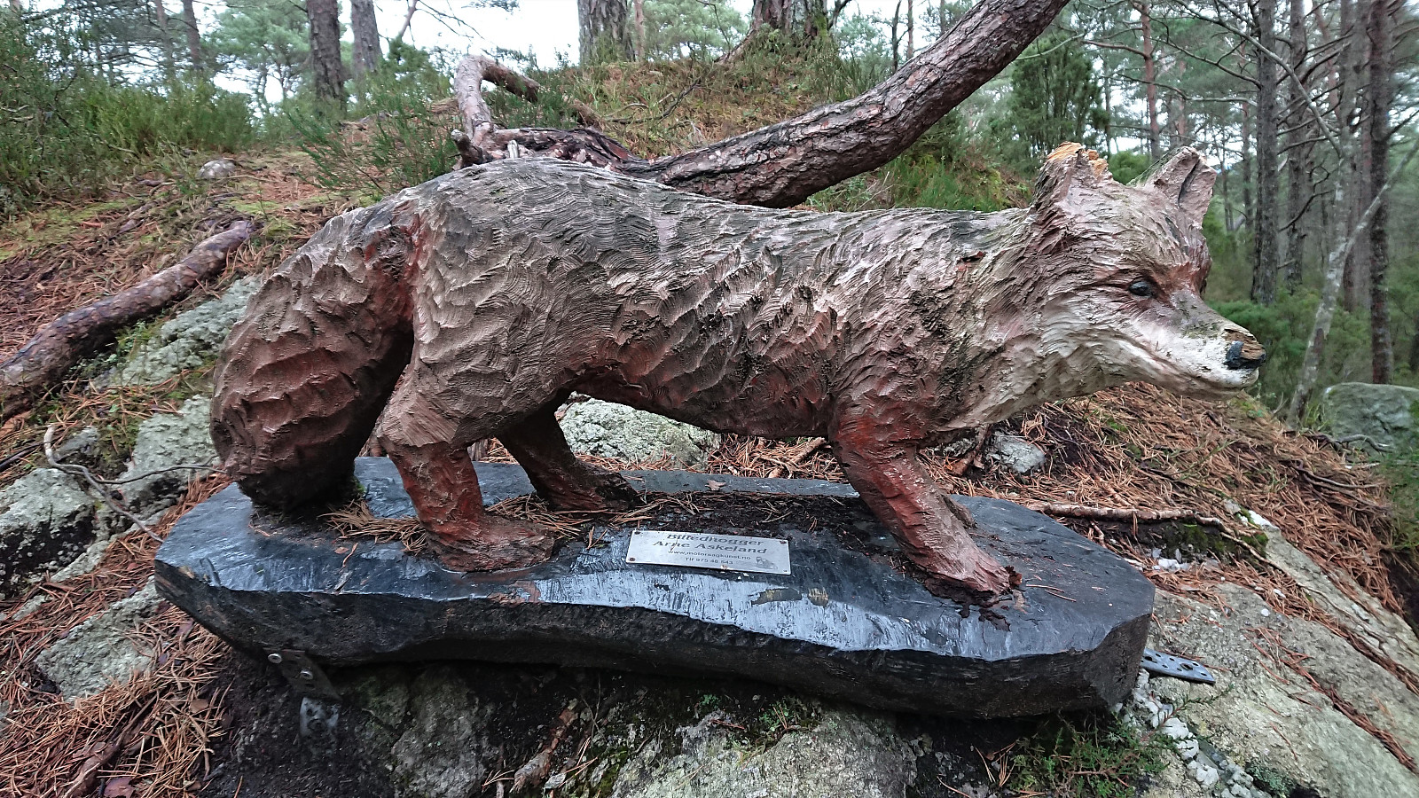
After a short lunch break, I returned to the trail and soon arrived at the start of Eventyrløypo (i.e. the fairytale trail), which included several carved animals along the way. Note that immediately after the start of Eventyrløypo, the trail forked, with neither option marked as far as I could tell. I decided to head left (northwest) and had no problems following the trail all the way to the summit of Ternhaugen. There were even lots of new small wooden bridges covering the wettest areas.
Note that the trail did not pass by the summit itself, but it can be easily reached from the trig marker, which now also included what seemed to be a brand-new wooden shelter. Limited views from both the summit and the trig marker though due to all the trees.
From the summit the trail again forked, this time with red or blue markers. The blue trail seemed to head north/northwest to the road, but given that I had plenty of time before the bus home, I decided to give the red trail a go, hoping it would provide better views along the way. This was however not the case, and I quickly ended up next to the house/cabin south of Ternhaugen, where a tractor road continued down to the docks. I therefore returned to the summit and went for the blue trail instead. (When later writing this trip report I came across geirmy (Geir Myklebust)'s trip report which seems to indicate that it should be possible to also follow the red trail back to the start of Eventyrløypo, so maybe I just missed the trail markers at some point.)
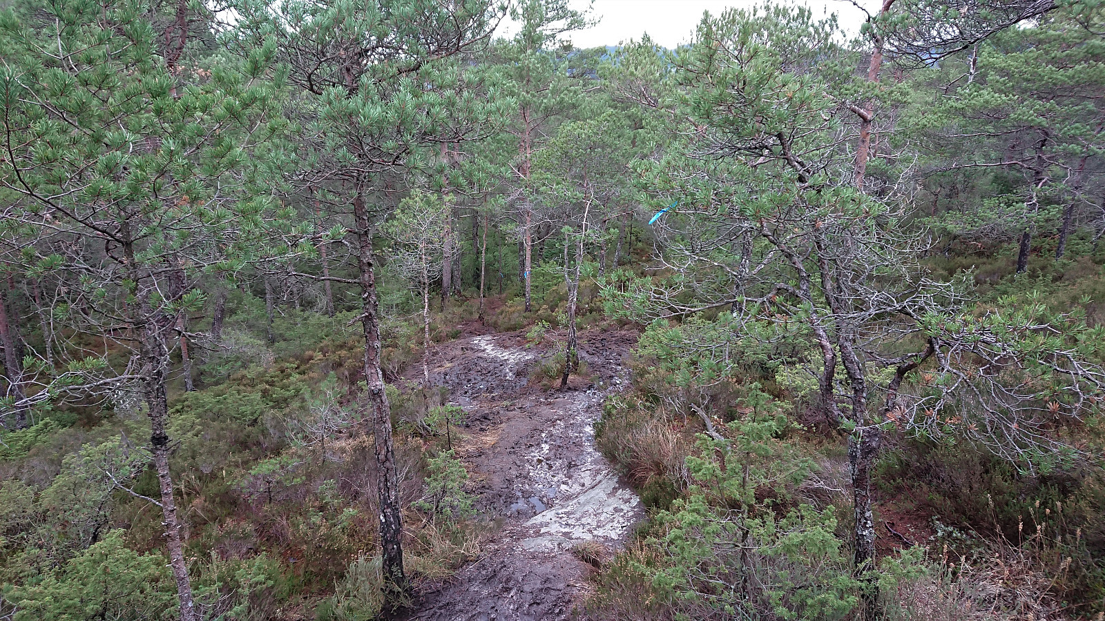
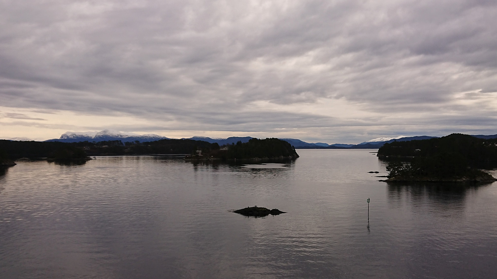
The blue trail was rather wet and muddy, but it did not take long before I reached the road anyway. I still had plenty of time though, and ended up walking northeast along the main road until finally catching the bus at Lepsøy, with some great views south from the bridge between Sunnøya and Lepsøy.
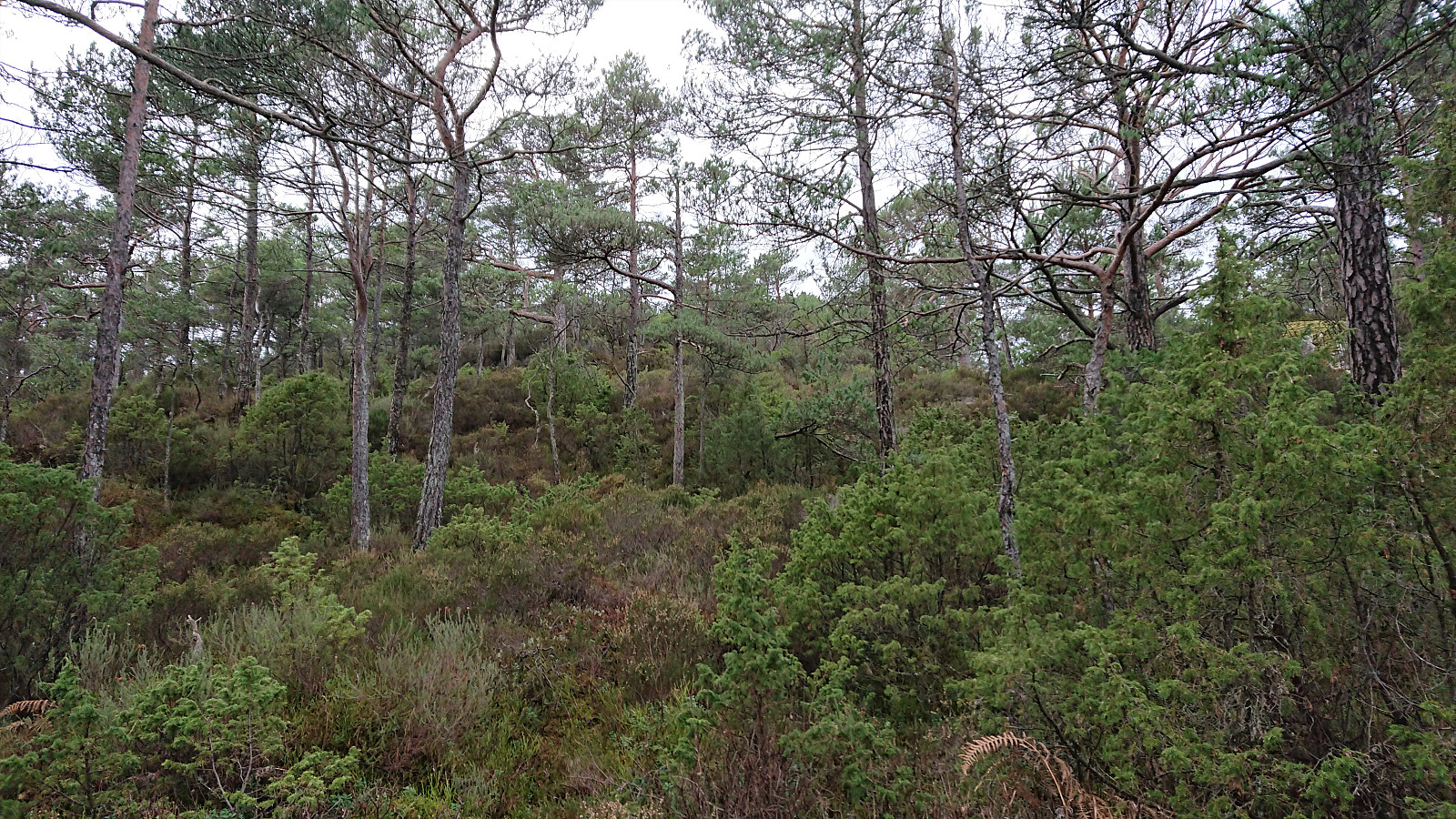
Overall, a nice short hike but with more limited views than I had been hoping for. The clear exception being the excellent views at the diving tower. Additionally, the initial walk in between the large pine trees at the start of the hike was also very nice. Probably recommended to do this hike during a nice sunny summer day though.

| Startzeitpunkt | 29.12.2020 10:20 (UTC+01:00) |
| Endzeitpunkt | 29.12.2020 12:24 (UTC+01:00) |
| Gesamtzeit | 2h 03min |
| Zeit in Bewegung | 1h 57min |
| Pausenzeit | 0h 6min |
| Gesamtschnitt | 3,2km/h |
| Bewegungsschnitt | 3,4km/h |
| Entfernung | 6,7km |
| Höhenmeter | 187m |


Benutzerkommentare