
Damsgårdsfjellet and Olsokfjellet (27.12.2020)

Written by HHauser (Helwig Hauser)

| Start point | Vestlundveien (90m) |
|---|---|
| Endpoint | Vestlundveien (90m) |
| Characteristic | Hike |
| Duration | 1h 30min |
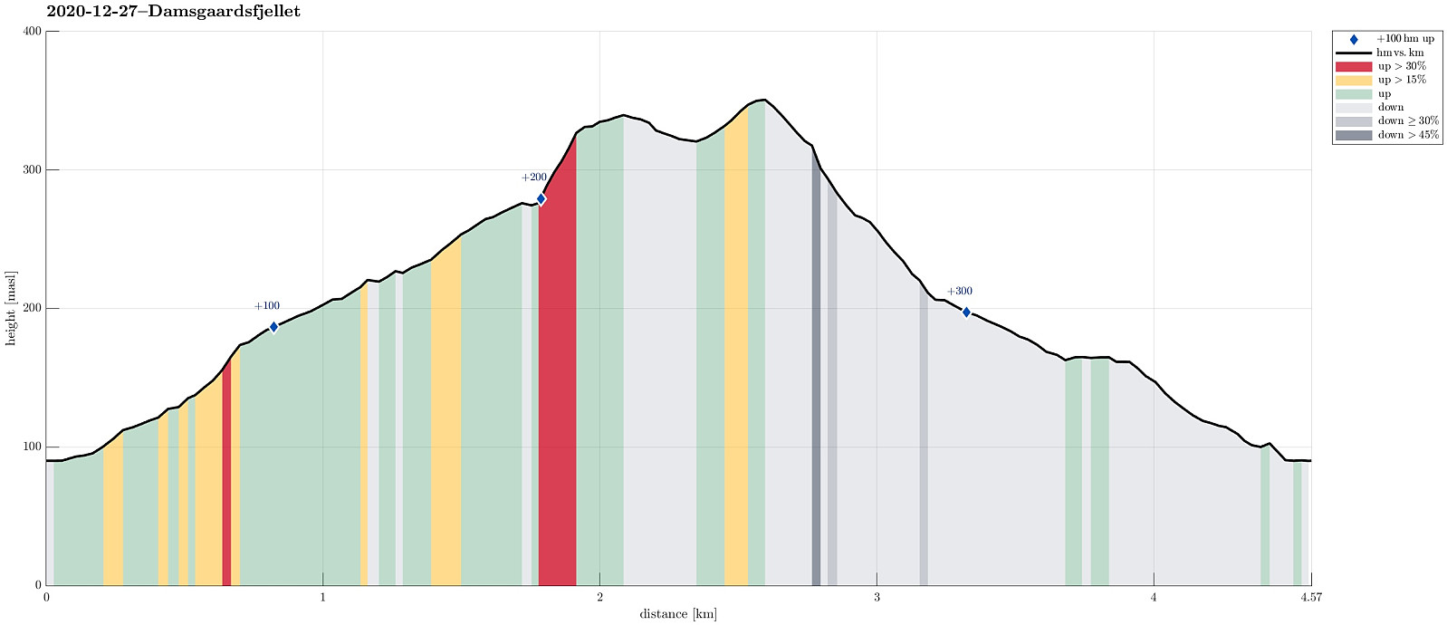
| Distance | 4.6km |
| Vertical meters | 317m |
| GPS |
|
| Ascents | Damsgårdsfjellet (344m) | 27.12.2020 |
|---|---|---|
| Olsokfjellet (353m) | 27.12.2020 | |
| Visits of other PBEs | Chr. Sundts hytte (ruin) (218m) | 27.12.2020 |
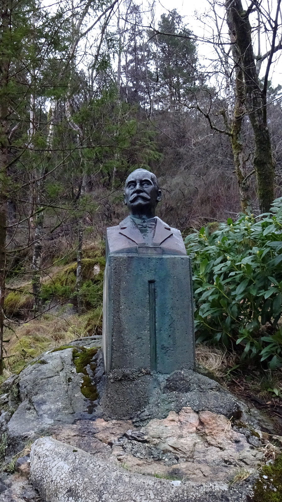
| Byste C. G. Sundt (210m) | 27.12.2020 | |
| Nordnæsdalen parkering (192m) | 27.12.2020 |
Trip Summary
With a prediction of rain, we weren't motivated to more than just a short round. We parked near Betanien along Vestlundveien in Fyllingsdalen and headed northwards through Nordnæsdalen. The original idea was to find the little trail -- is there a trail? -- which should lead up to the southern "top" of Holefjellet in the west of Damsgårdsfjellet. Soon, however, we had walked too far, getting very close to the saddle between Damsgårdsfjellet and Holefjellet. Instead of walking back (in the rain), we decided to drop Holefjellet for this time and instead start our walk back (via Damsgårdsfjellet and Olsokfjellet). The ascent to Damsgårdsfjellet was straight-forward (no ice, this time!) and then crossing over to Olsokfjellet, walking around Tverrdalen, was similarly easy (the combination of rain, relatively low temperatures, and quite a bit of wind, though, made us hurry on -- instead of enjoying views and so). From Olsokfjellet, we then chose the southern ridge as our way down and back. A little above 250mosl, then, this trail swings right (in western direction) and connects back to Nordnæsdalen. We then basically walked out Nordnæsdalsveien, looking forward to a bit of warmth in the car. :-)
Useful Resources
See also the related FB-page Hiking around Bergen, Norway.
Web page WestCoastPeaks.com provides useful information about Olsokfjellet, Gravdalsfjellet, and Damsgårdsfjellet.


User comments