
Slottet i Modalen (13.12.2020)

Geschrieben von hbar (Harald Barsnes)

| Startpunkt | Modalsvegen (21m) |
|---|---|
| Endpunkt | Modalsvegen (21m) |
| Tourcharakter | Bergtour |
| Tourlänge | 1h 56min |
| Entfernung | 2,8km |
| Höhenmeter | 256m |
| GPS |
|
| Besteigungen | Slottet i Modalen (192m) | 13.12.2020 |
|---|
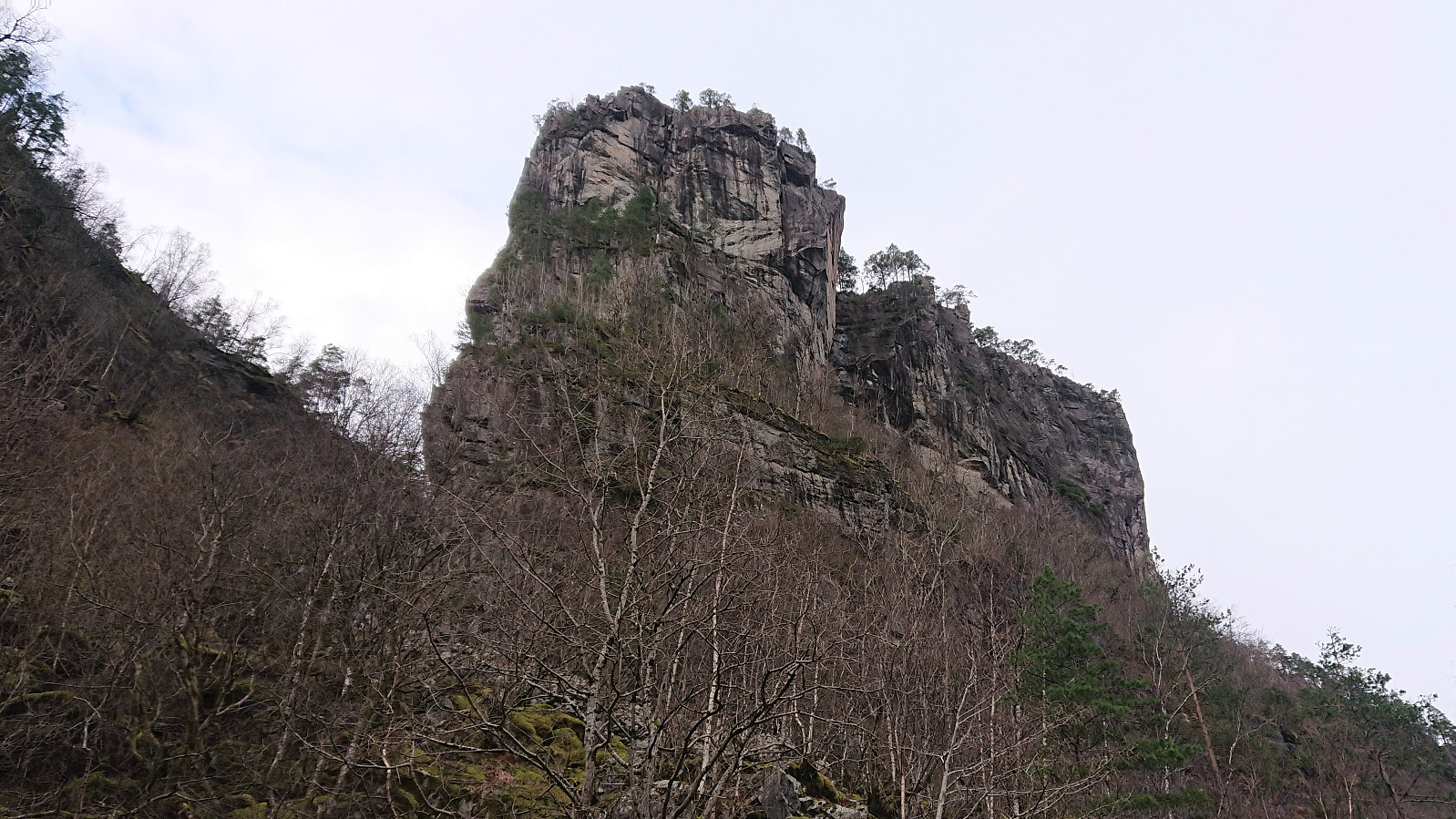
Slottet i Modalen
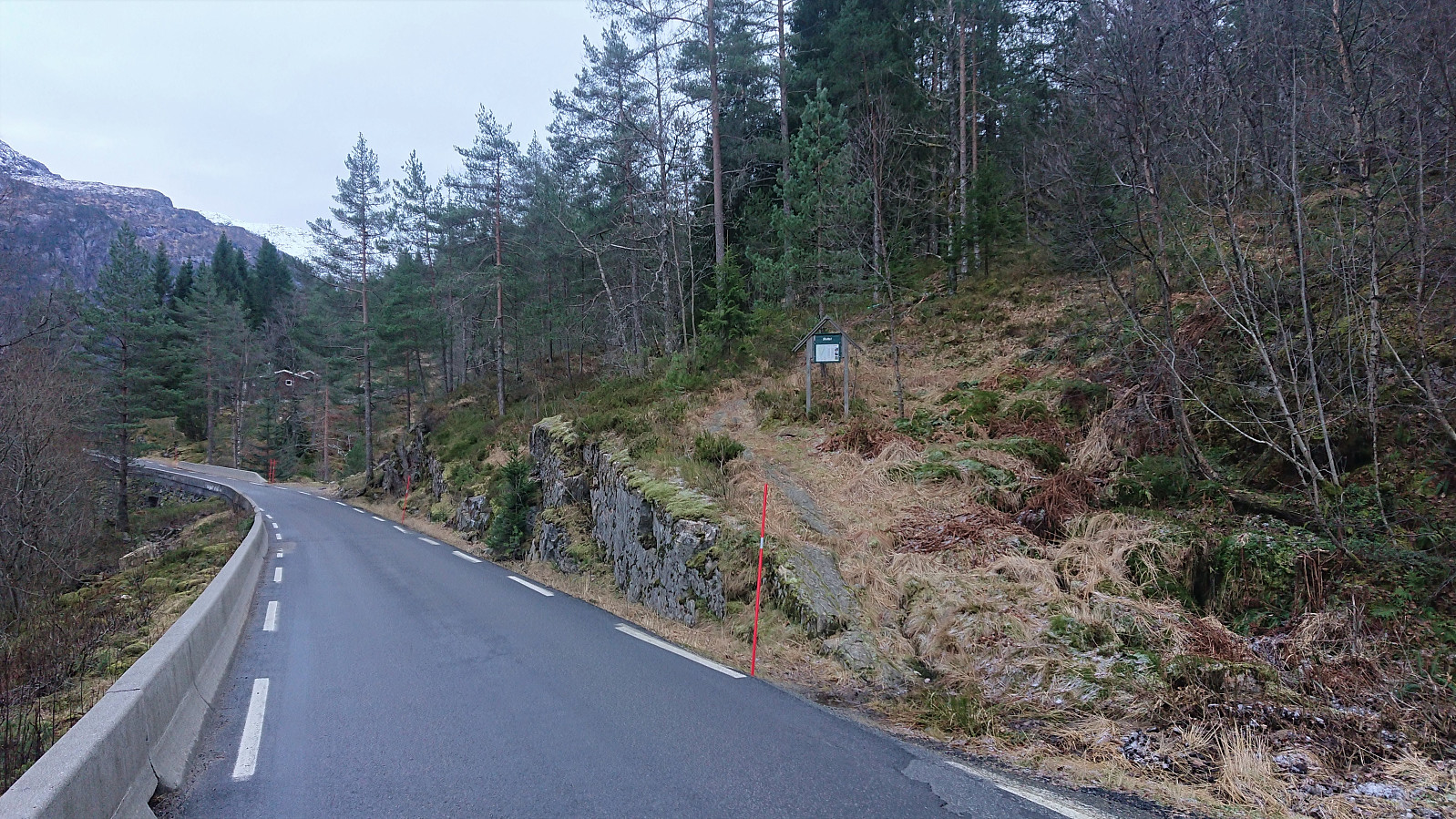
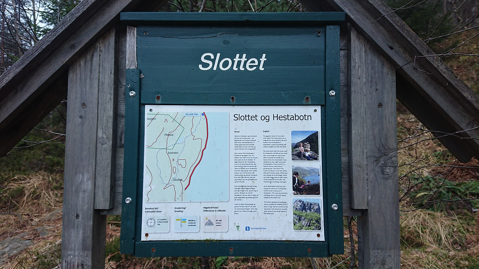
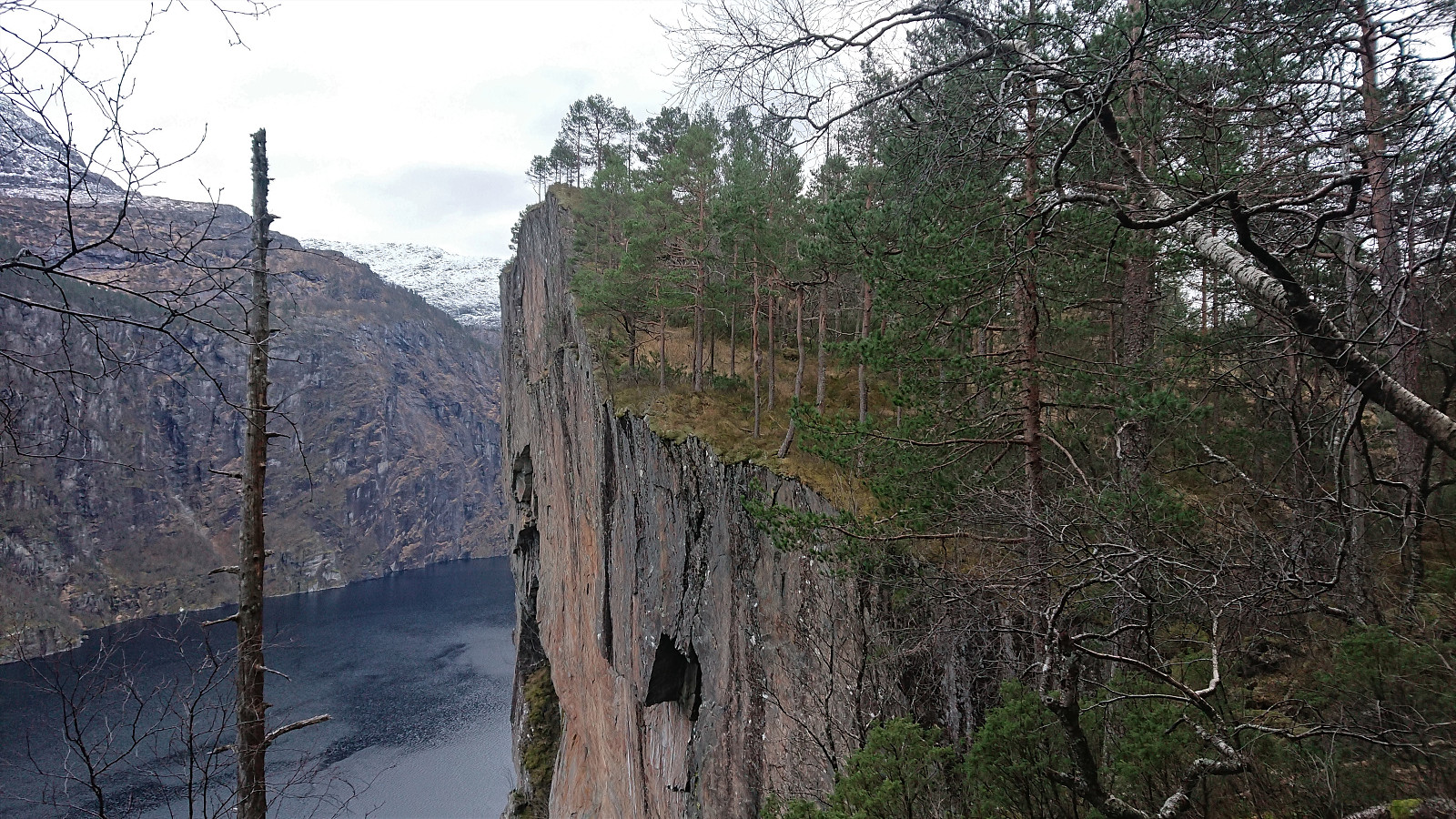
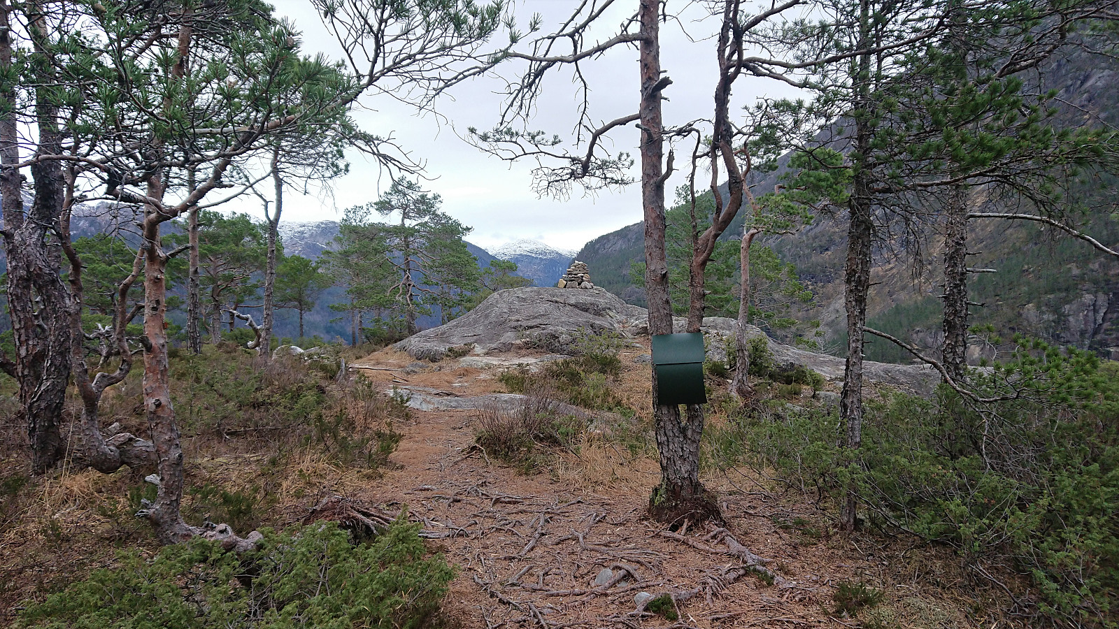
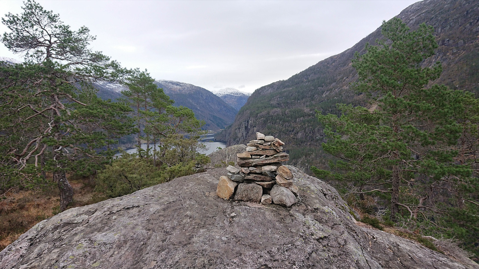
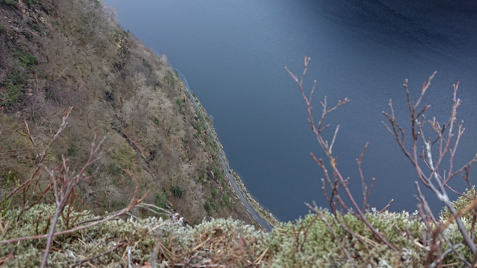
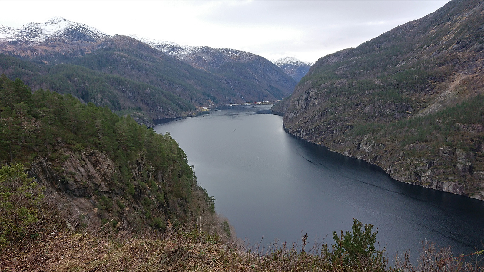
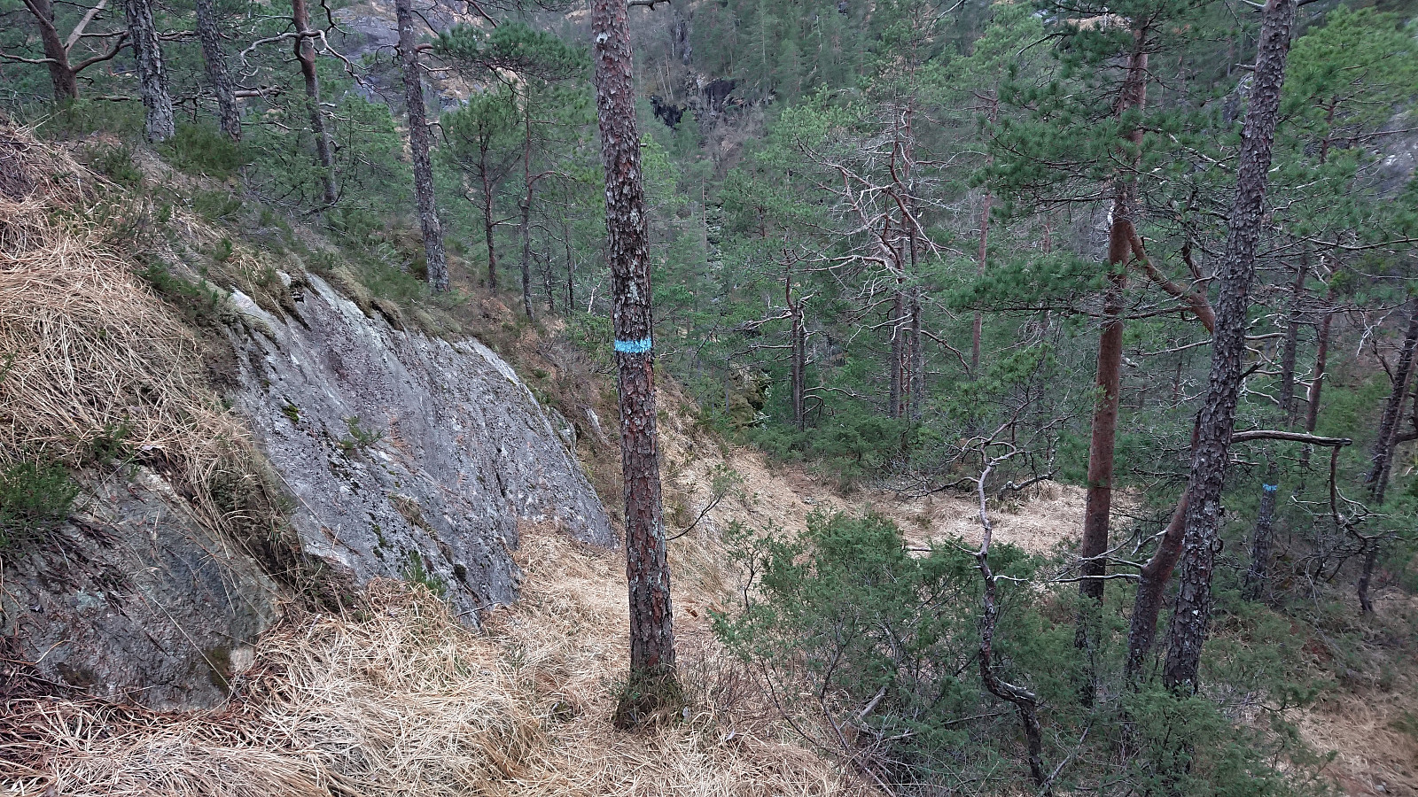
We parked next to the road at a small gravel-covered area seemingly set up to gather and sort sheep. Given that it was mid-December we assumed that the area was not going to be used any time soon. Next, the marked trailhead was easily located and we started on the trail marked with blue paint. The trail was today a bit wet and slippery, but was otherwise straightforward to follow and we soon arrived at the summit, which we had also gotten a preview of just before the final ascent. Excellent views from the summit, although one ought to be careful given the close to 200 meters vertical drop down to the main road.
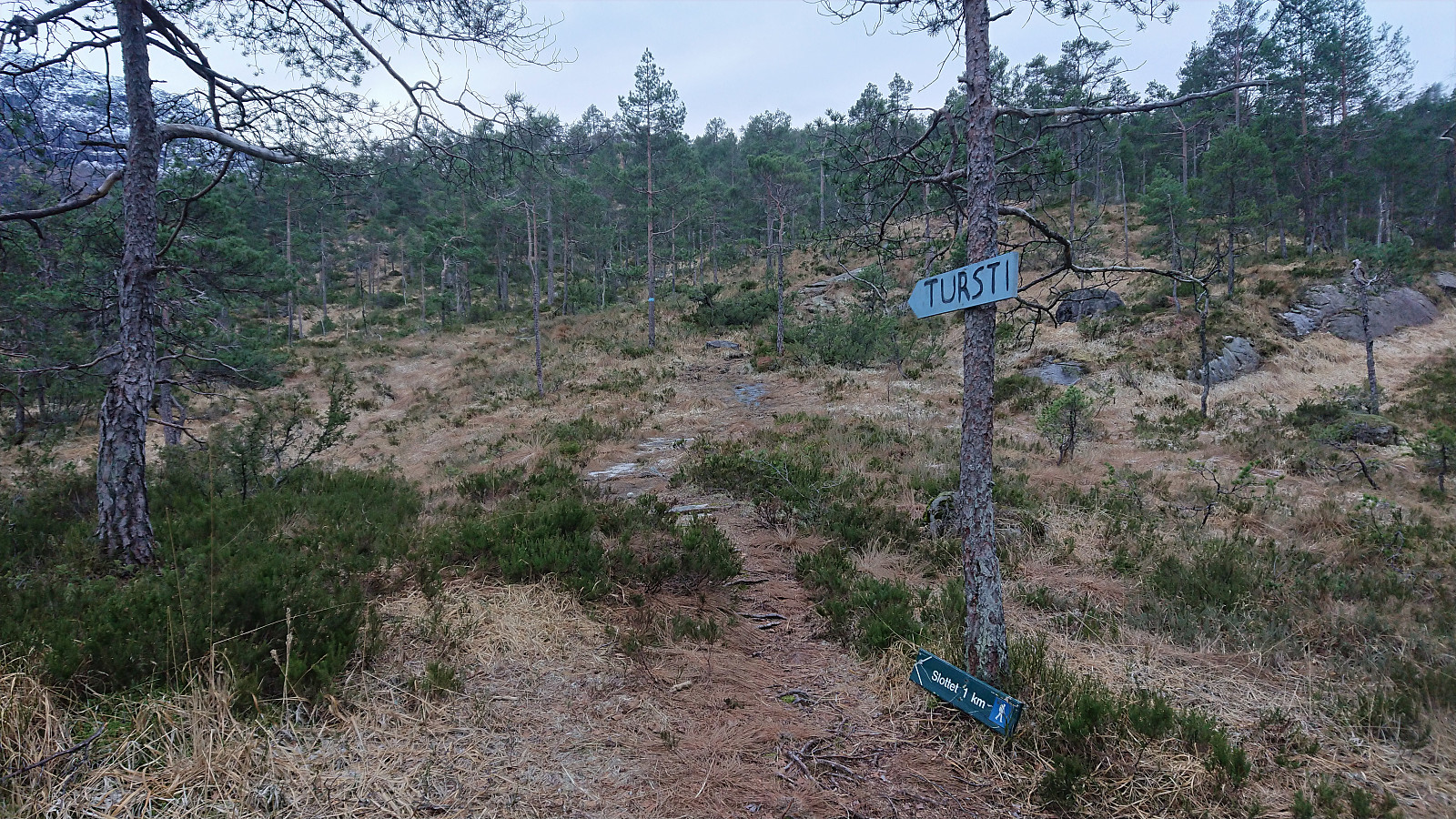
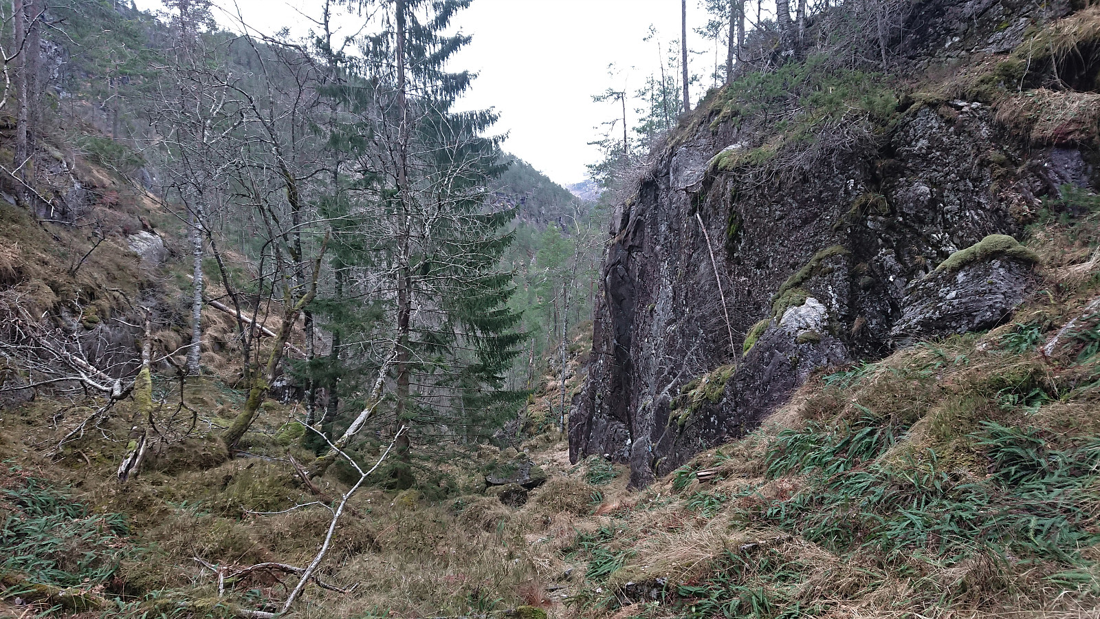
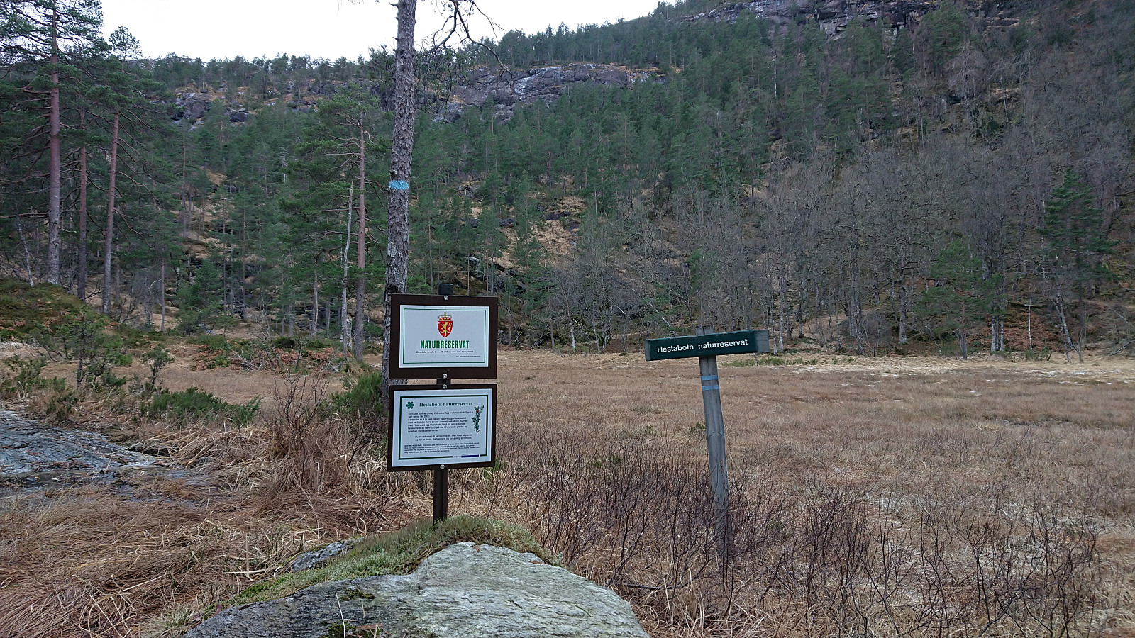
For the return we decided to go for the alternative route via Hestabotn. As the sign at the trailhead indicated this trail had parts that were slightly rougher, but it was (generally) clearly marked as well and did not present any real difficulties. Can be recommended for those wanting a short roundtrip before returning to the car. (Note that the marked trail does not exactly match what is indicated on the map at the trailhead.)
Overall, a very nice short trip with excellent views from the summit including a spectacular vertical drop!

| Startzeitpunkt | 13.12.2020 11:14 (UTC+01:00) |
| Endzeitpunkt | 13.12.2020 13:10 (UTC+01:00) |
| Gesamtzeit | 1h 56min |
| Zeit in Bewegung | 1h 25min |
| Pausenzeit | 0h 31min |
| Gesamtschnitt | 1,5km/h |
| Bewegungsschnitt | 2,0km/h |
| Entfernung | 2,8km |
| Höhenmeter | 255m |


Benutzerkommentare