
Hetlebakksåta and Birkelandsnipa from Ervika (05.12.2020)

Geschrieben von hbar (Harald Barsnes)

| Startpunkt | Breistein snuplass (24m) |
|---|---|
| Endpunkt | Lønborg (55m) |
| Tourcharakter | Bergtour |
| Tourlänge | 4h 43min |
| Entfernung | 17,9km |
| Höhenmeter | 815m |
| GPS |
|
| Besteigungen | Birkelandsnipa (288m) | 05.12.2020 |
|---|---|---|
| Breisteinsåta (331m) | 05.12.2020 | |
| Erviknipa (268m) | 05.12.2020 | |
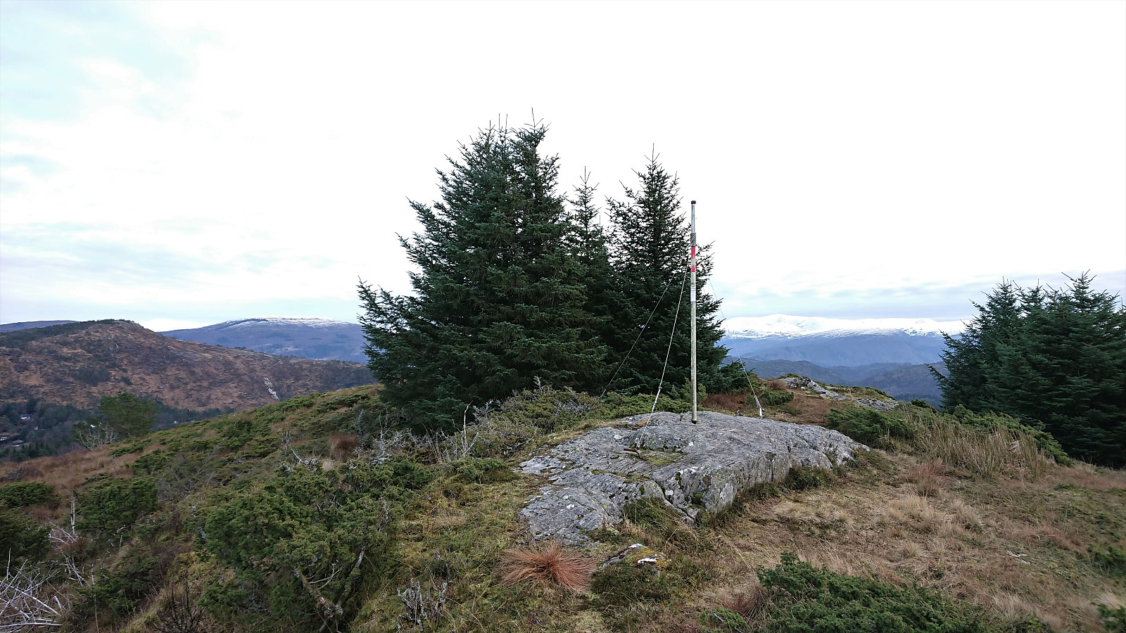
| Hetlebakksåta (334m) | 05.12.2020 | |
| Svartafjellet (265m) | 05.12.2020 | |
| Birkelandsnipa Sørøst (265m) | 05.12.2020 | |
| Besuche anderer PBE | Bella's plass (228m) | 05.12.2020 |
| Erviknipa utsiktspunkt (255m) | 05.12.2020 |
Hetlebakksåta and Birkelandsnipa from Ervika
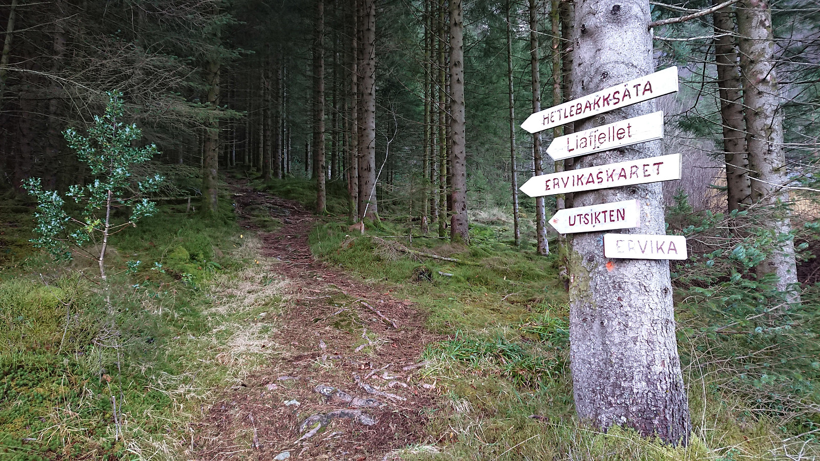
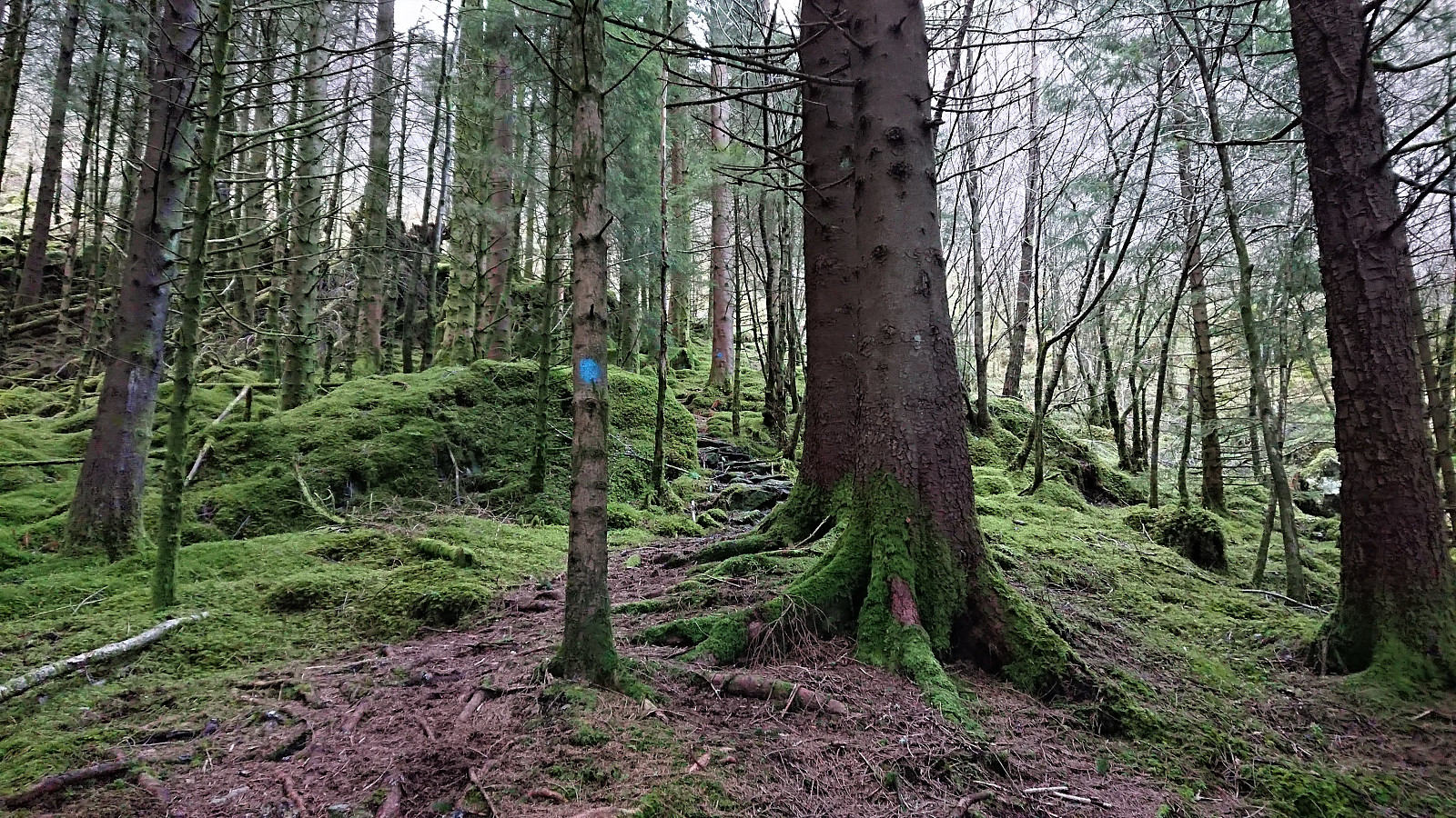

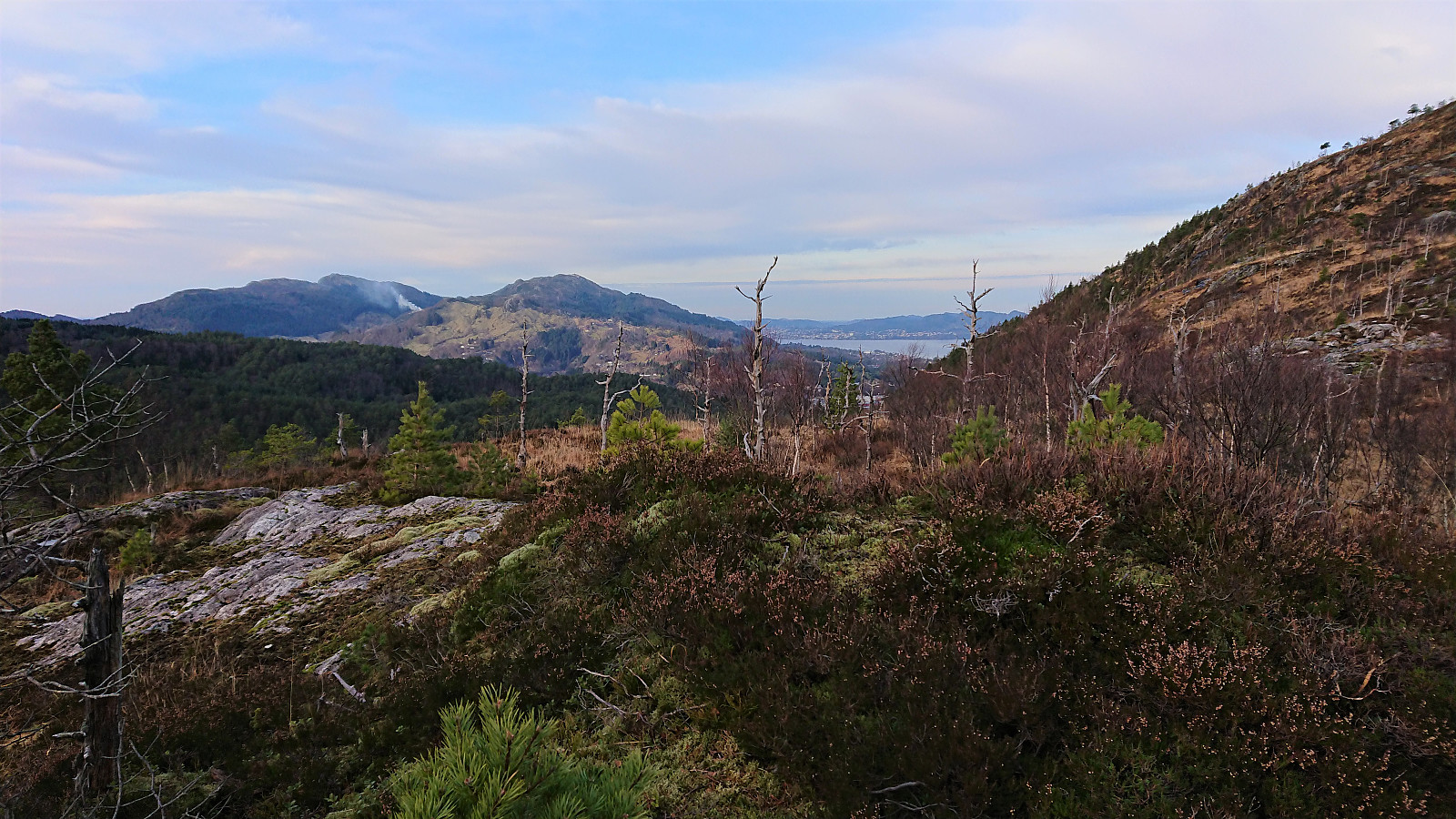
A revisit of Hetlebakksåta and Birkelandsnipa but this time starting from Ervika, or rather from the final bus stop at Breistein, and visiting both peaks on the same hike. The marked trailhead at the start of Ervikskaret was easily located. However, when the trail split into a blue trail and an orange trail, I first began on the orange trail, but quickly returned and followed the blue trail instead as it seemed to head more in the direction I wanted to go.
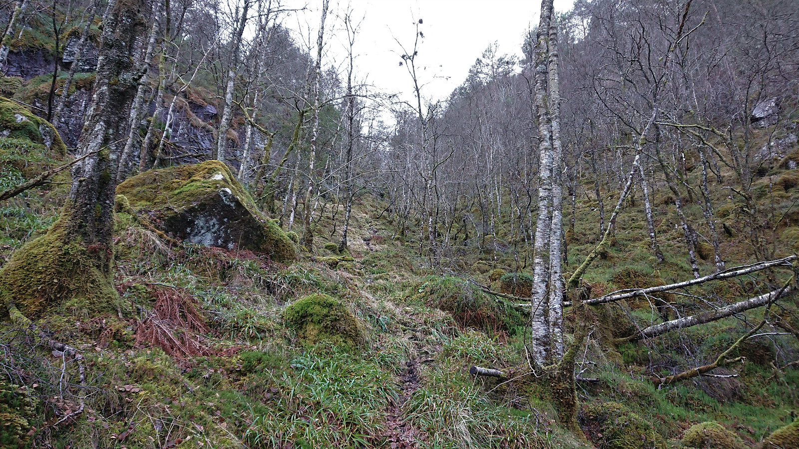
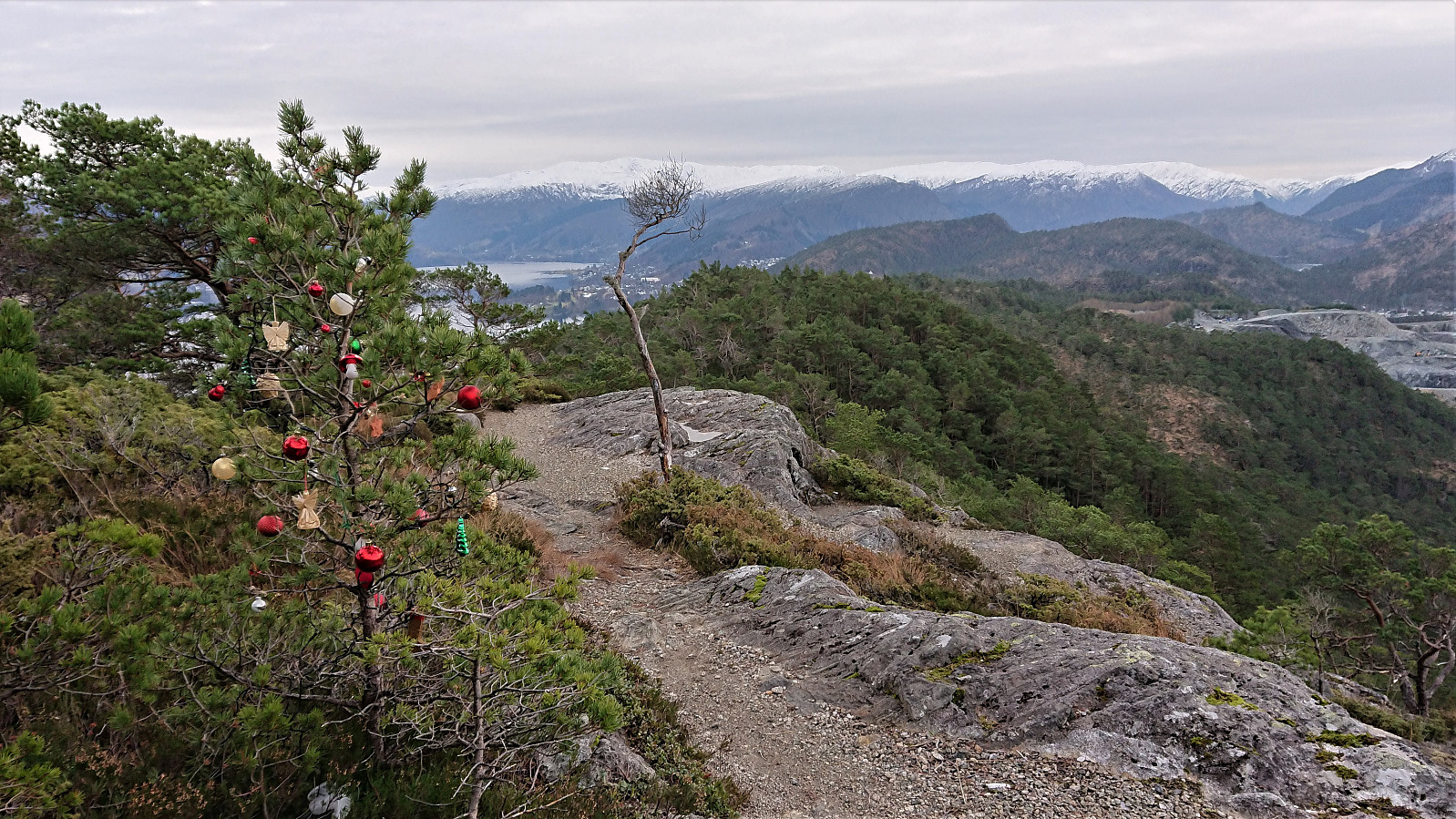
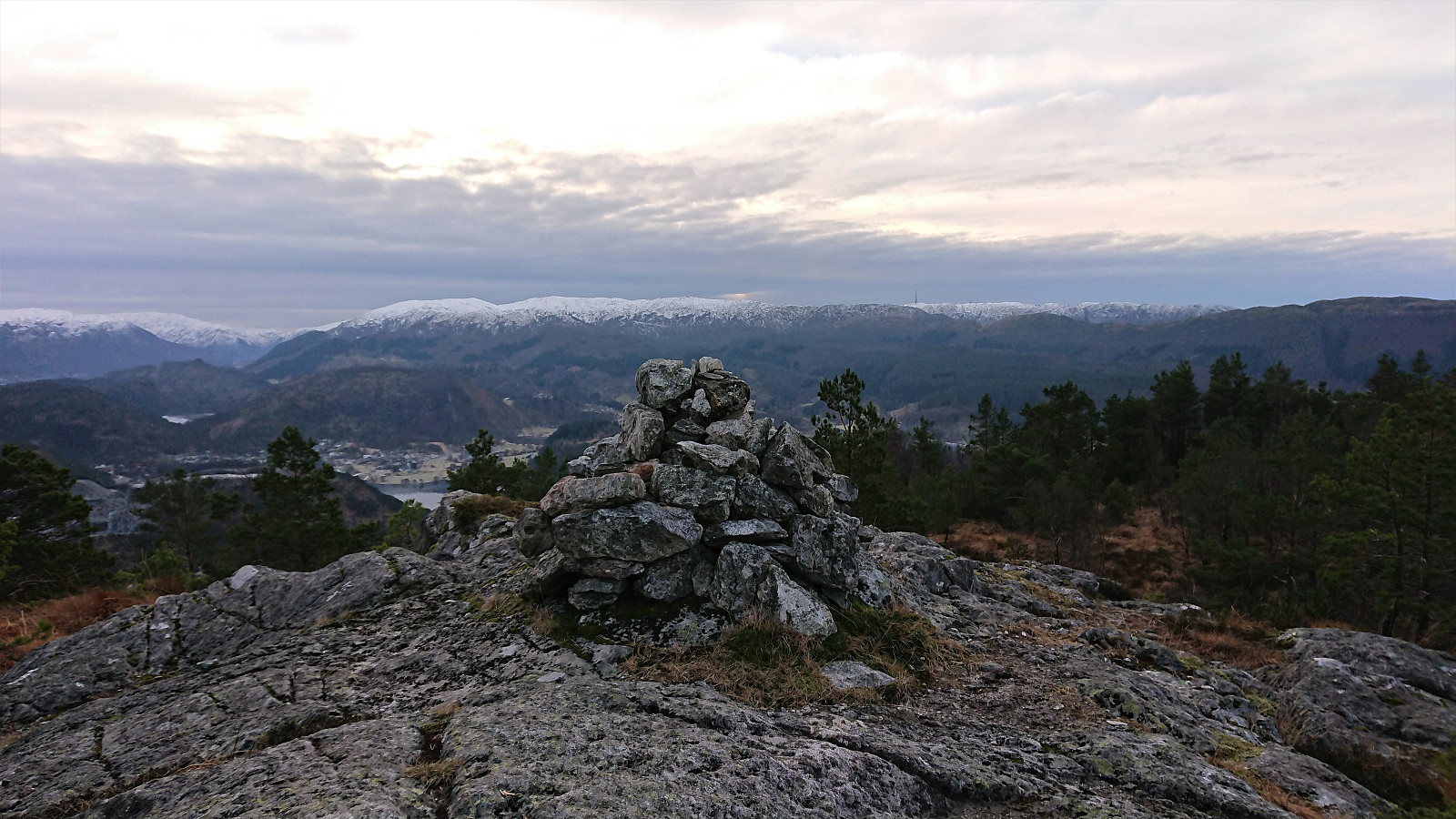
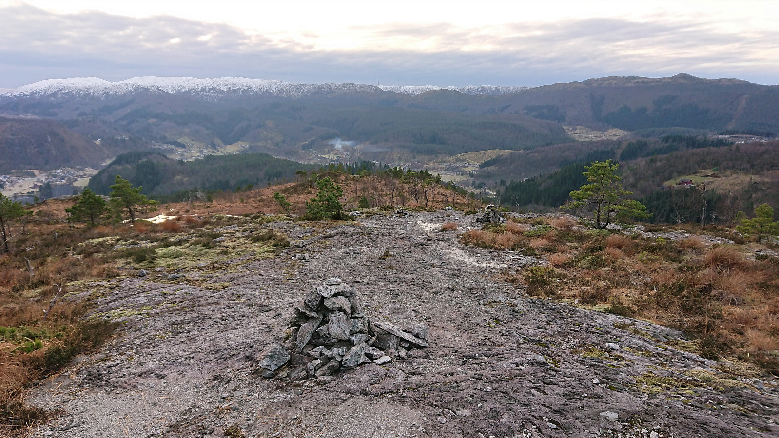
When reaching the top of Ervikskaret, I made a quick detour to Erviknipa before completing the ascent to Breisteinsåta and onwards to Hetlebakksåta. From Hetlebakksåta I followed the unmarked trail down to Hetlebakka, making a quick stop at the small hill of Svartafjellet on the way.
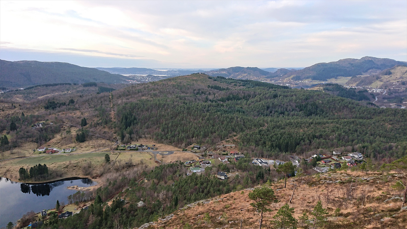
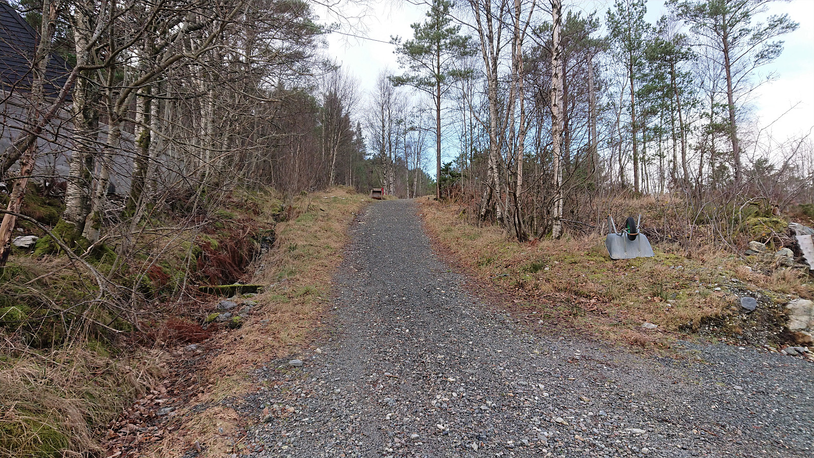
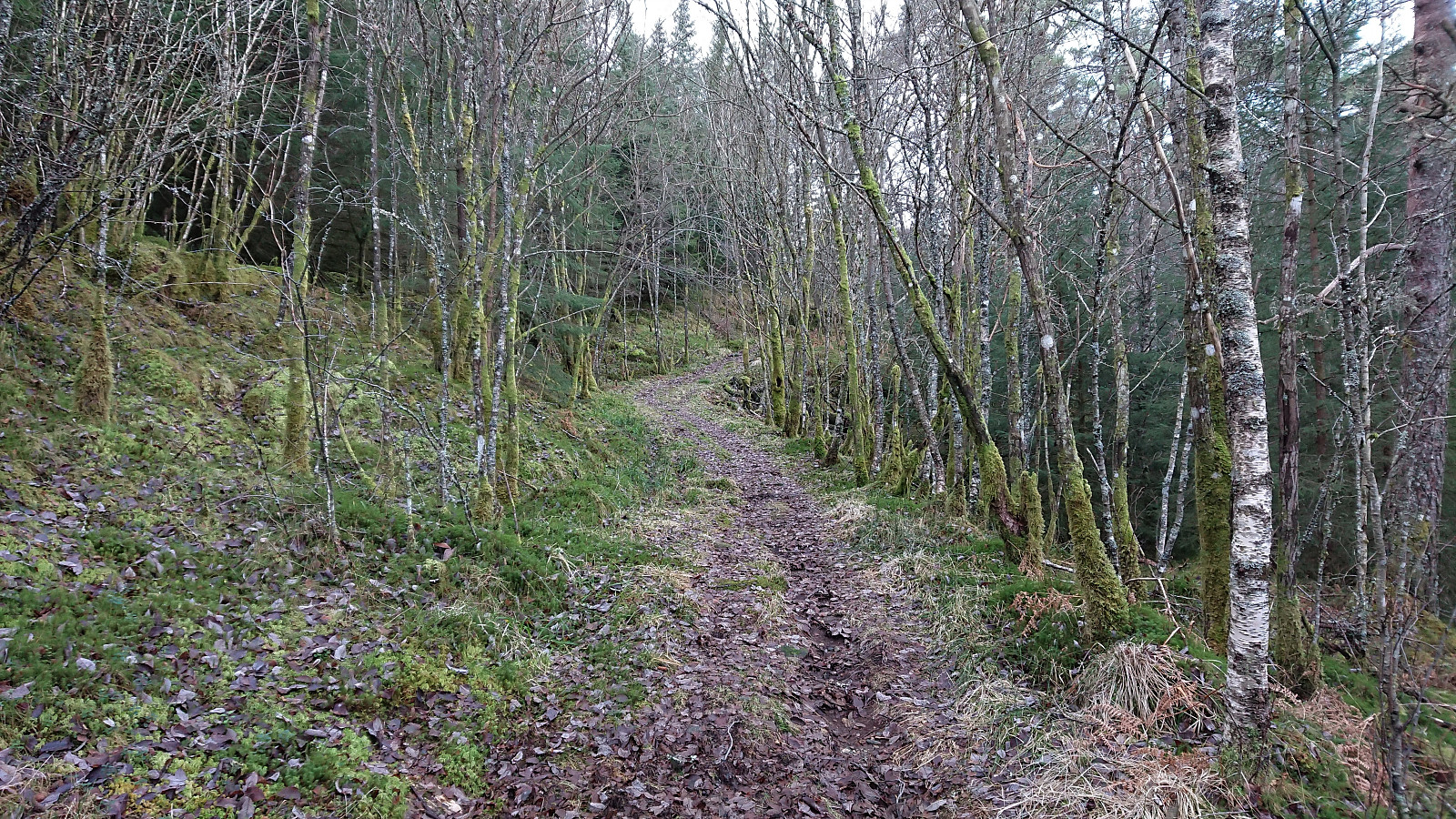
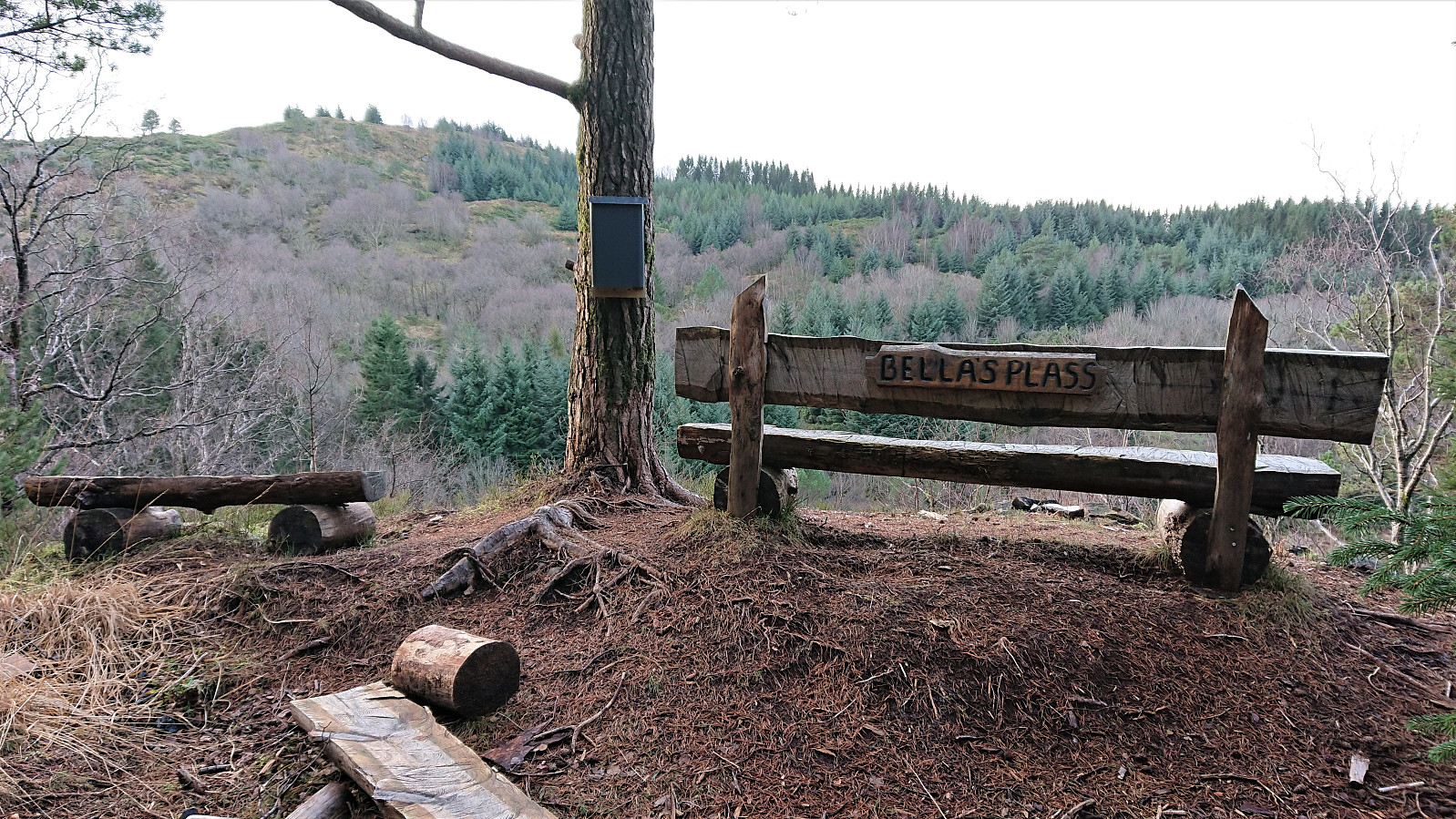
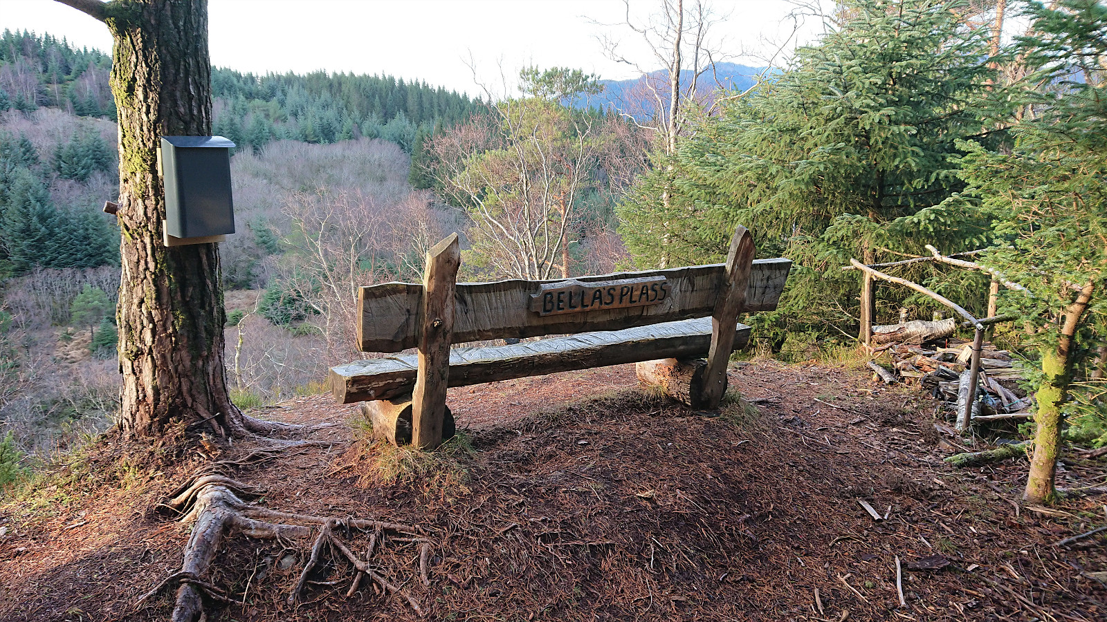
Upon reaching Hetlebakka, I followed in the footsteps of samasplund (Sam Asplund) and thus made a short detour via the smaller ridge northeast of Birkelandsnipa before heading to the summit itself. First by following a gravel road which shortly turned into a tractor road and later into a trail. This route also passed by a small picnic area called Bella's plass which provided nice views towards Birkelandsnipa.
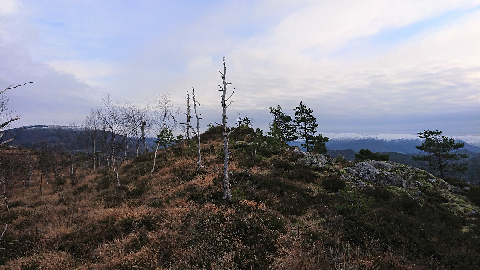
After a quick lunch at Bella's plass, I continued along the trails to the summit of Birkelandsnipa. Thankfully the usually rather wet terrain was today half frozen, making the progress in this area much easier than usual. I did not stay long at the summit before starting my descent to Birkeland.
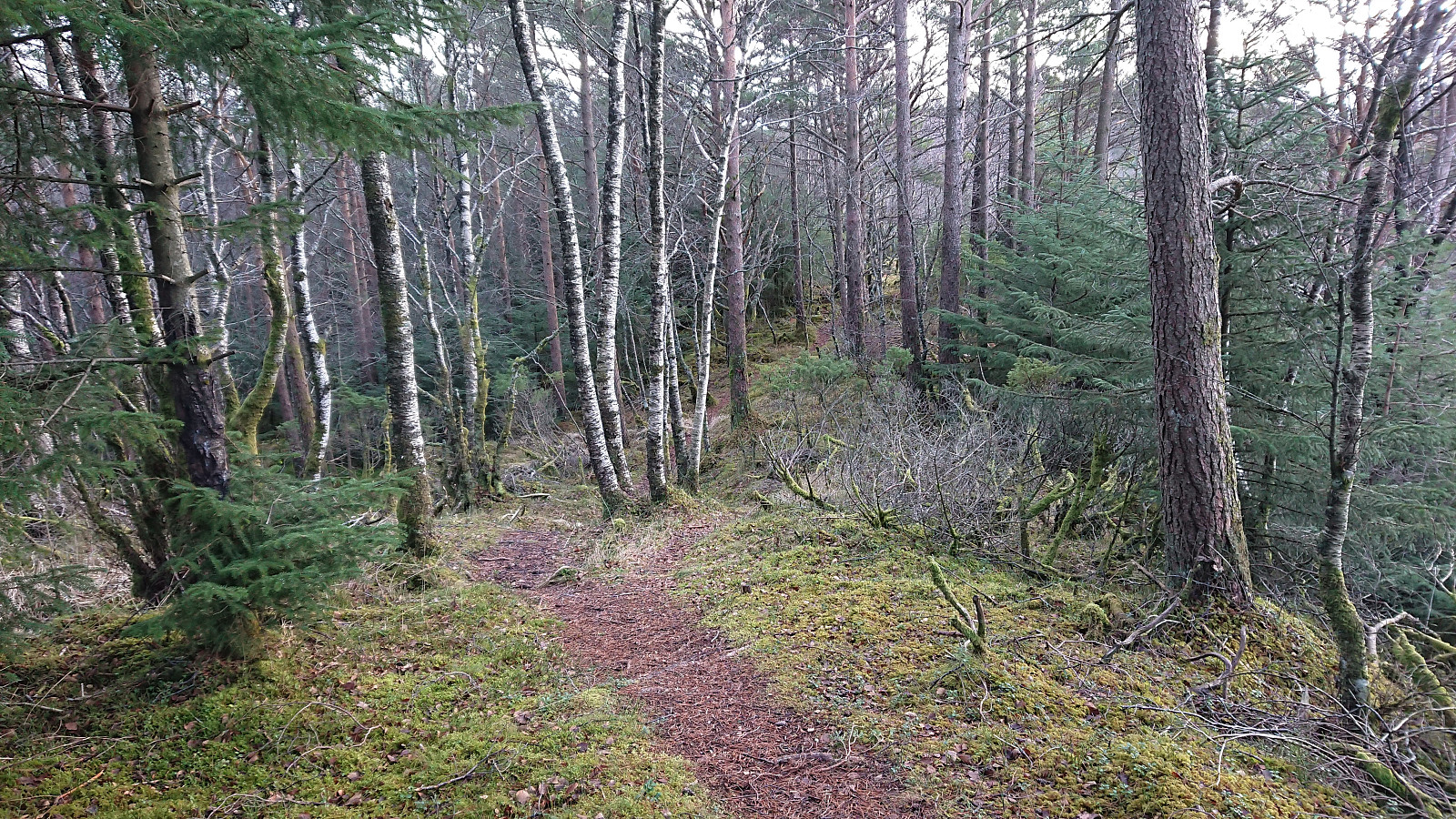
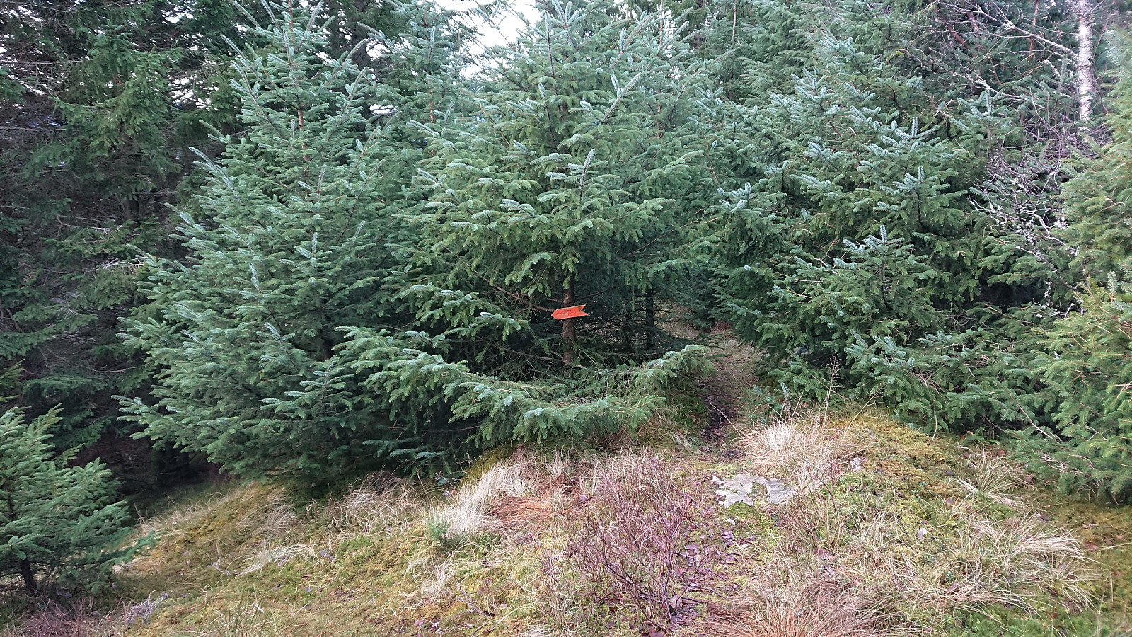
Similar to my last visit of Birkelandsnipa, the descent had its challenges. The first part is straightforward and follows a clear trail in between the trees. However, towards the end there is an orange arrow indicating that one should leave the trail and instead head more or less off-trail to the left. If there is a trail here at all it is very weak.
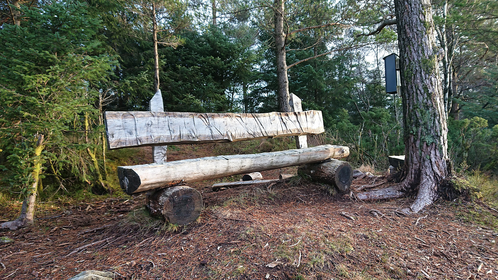
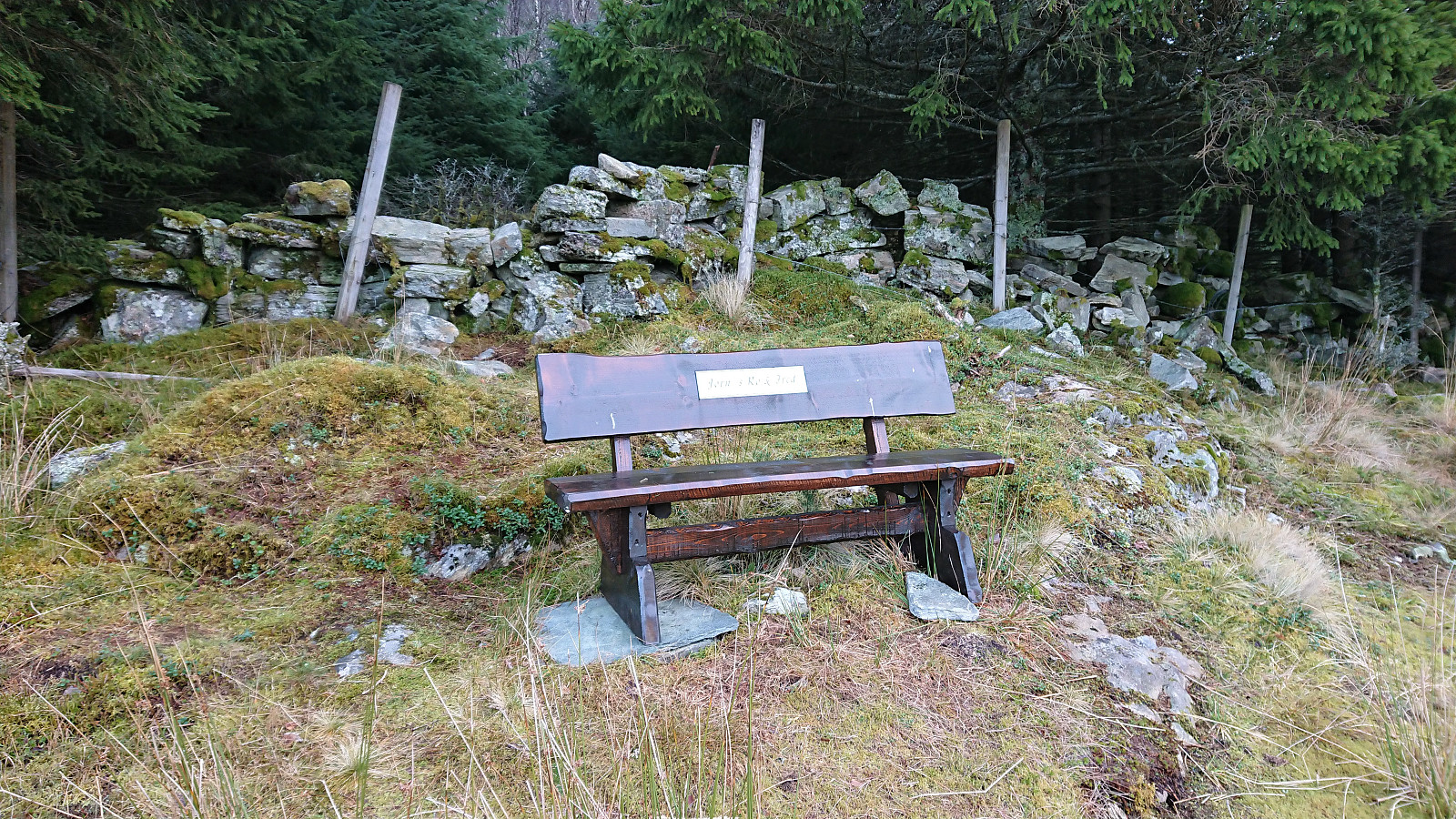
Given that my last attempt at following this arrow had ended up with me climbing down to the main road, I decided that this time I would also see where ignoring the arrow would take me. It turned out that the trail only continued for a couple more meters before ending at a low stone wall. At the other side of the wall there was a bench labelled "Jørn's Ro & Fred", but as far as I could tell there were no clear trails continuing northwest from the bench.
I therefore returned to the weak trail and made may way down to Blindheimsvegen 80, passing the house on the northern side (see Kjell51 (Kjell Øijorden)'s earlier trip report for pictures). The hike was then concluded by walking home to Lønborg.
In summary, the essential part of this hike, i.e. from Ervika up to Hetlebakksåta and the following connection to Birkelandsnipa, can be highly recommended. Although I'm still confused about the final part of the descent from Birkelandsnipa and assume/hope that better options can be found there.
| Startzeitpunkt | 05.12.2020 10:52 (UTC+01:00) |
| Endzeitpunkt | 05.12.2020 15:36 (UTC+01:00) |
| Gesamtzeit | 4h 43min |
| Zeit in Bewegung | 4h 32min |
| Pausenzeit | 0h 11min |
| Gesamtschnitt | 3,8km/h |
| Bewegungsschnitt | 3,9km/h |
| Entfernung | 17,9km |
| Höhenmeter | 814m |


Benutzerkommentare