
Dystingen and Flatafjellet (08.11.2020)

Written by hbar (Harald Barsnes)

| Start point | Fosse (408m) |
|---|---|
| Endpoint | Fosse (408m) |
| Characteristic | Hillwalk |
| Duration | 3h 53min |
| Distance | 7.8km |
| Vertical meters | 803m |
| GPS |
|
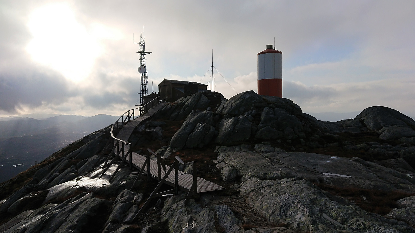
| Ascents | Dystingen (999m) | 08.11.2020 |
|---|---|---|
| Flatafjellet (915m) | 08.11.2020 |
Dystingen and Flatafjellet
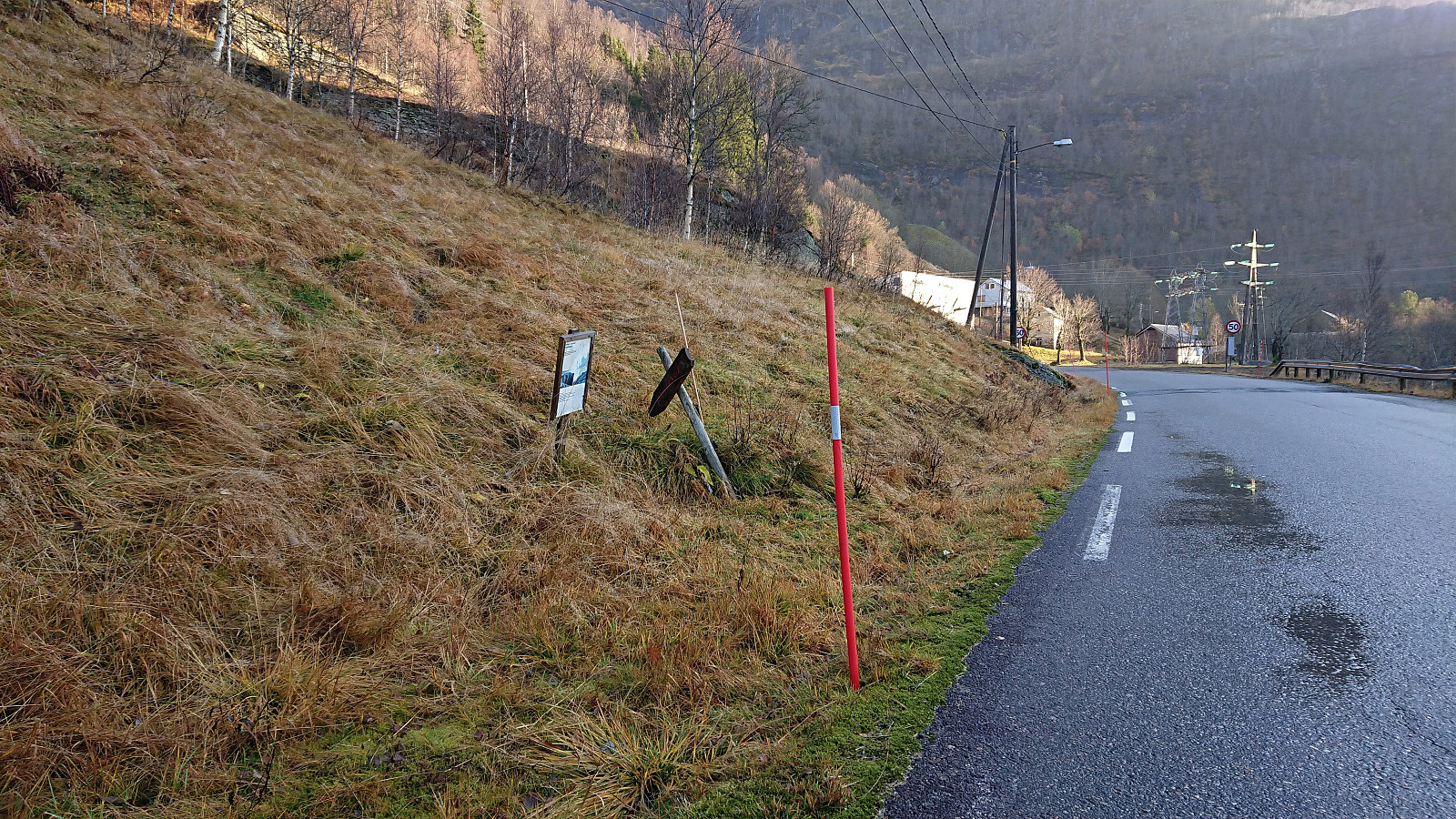
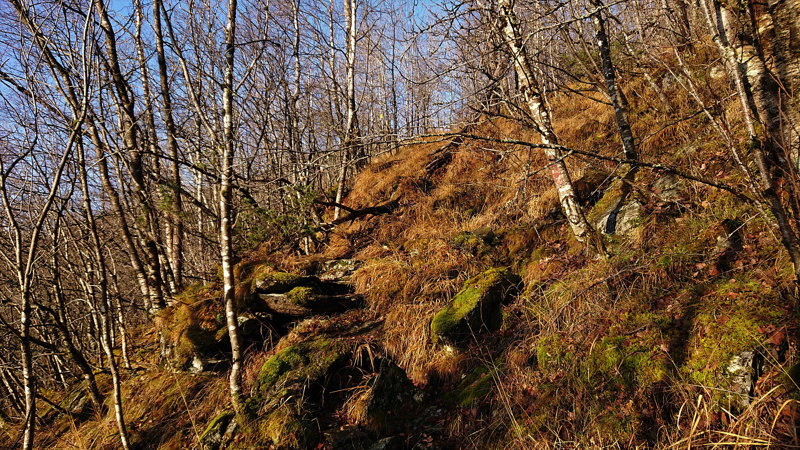

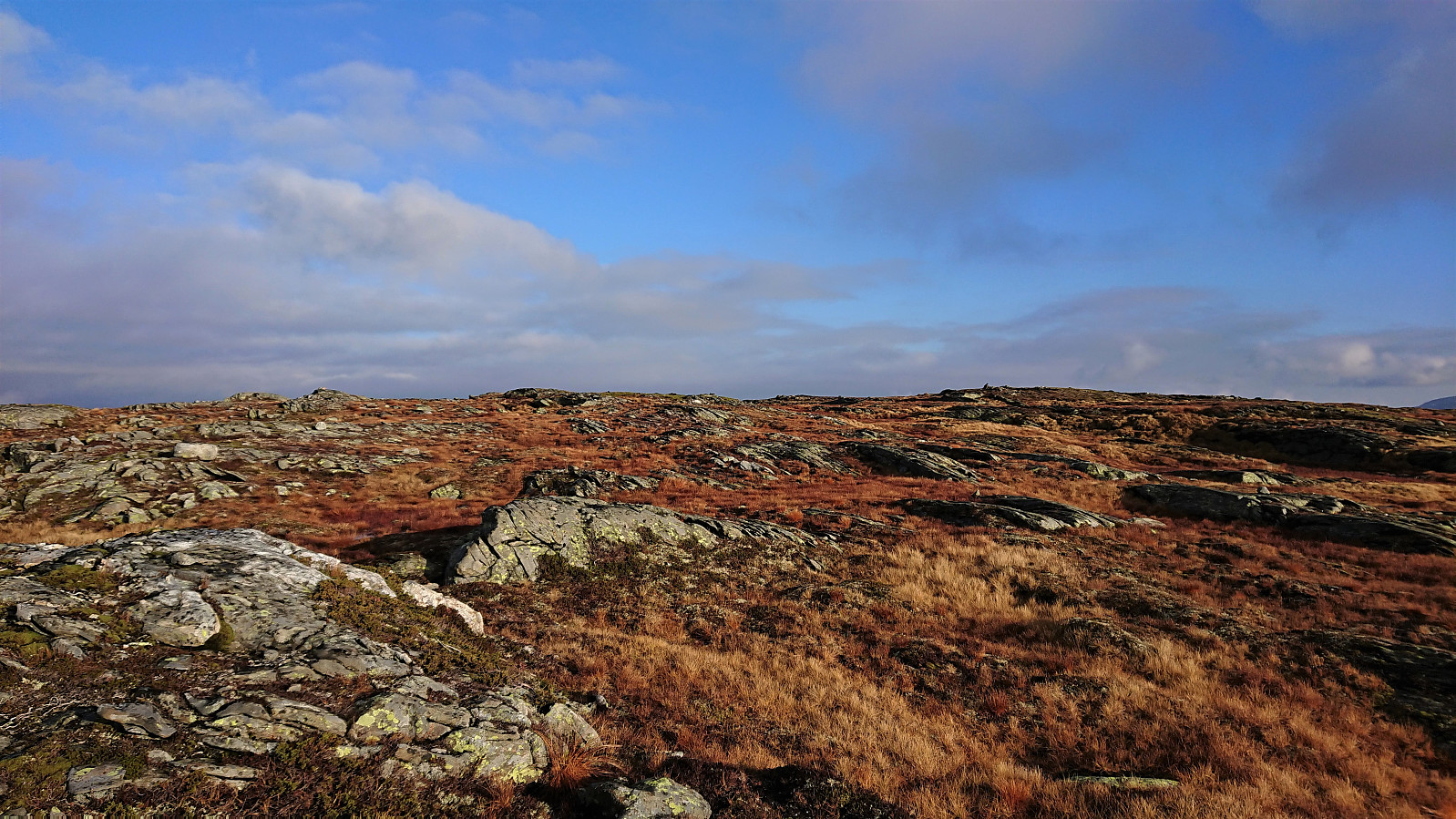
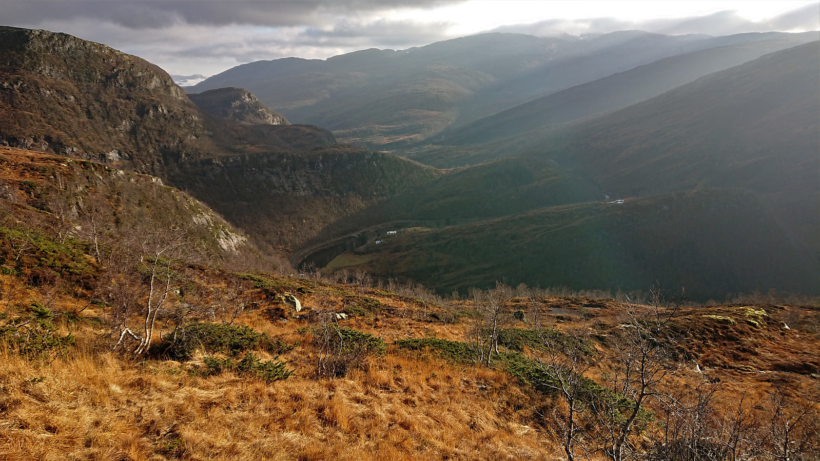
We parked outside Fosse Kraftverk and from there walked 100 meters west along the road to the marked trailhead for Dystingen. The marked trail was relatively steep, especially at the start, and contained lots of wet sections, but could overall be followed without any issues.
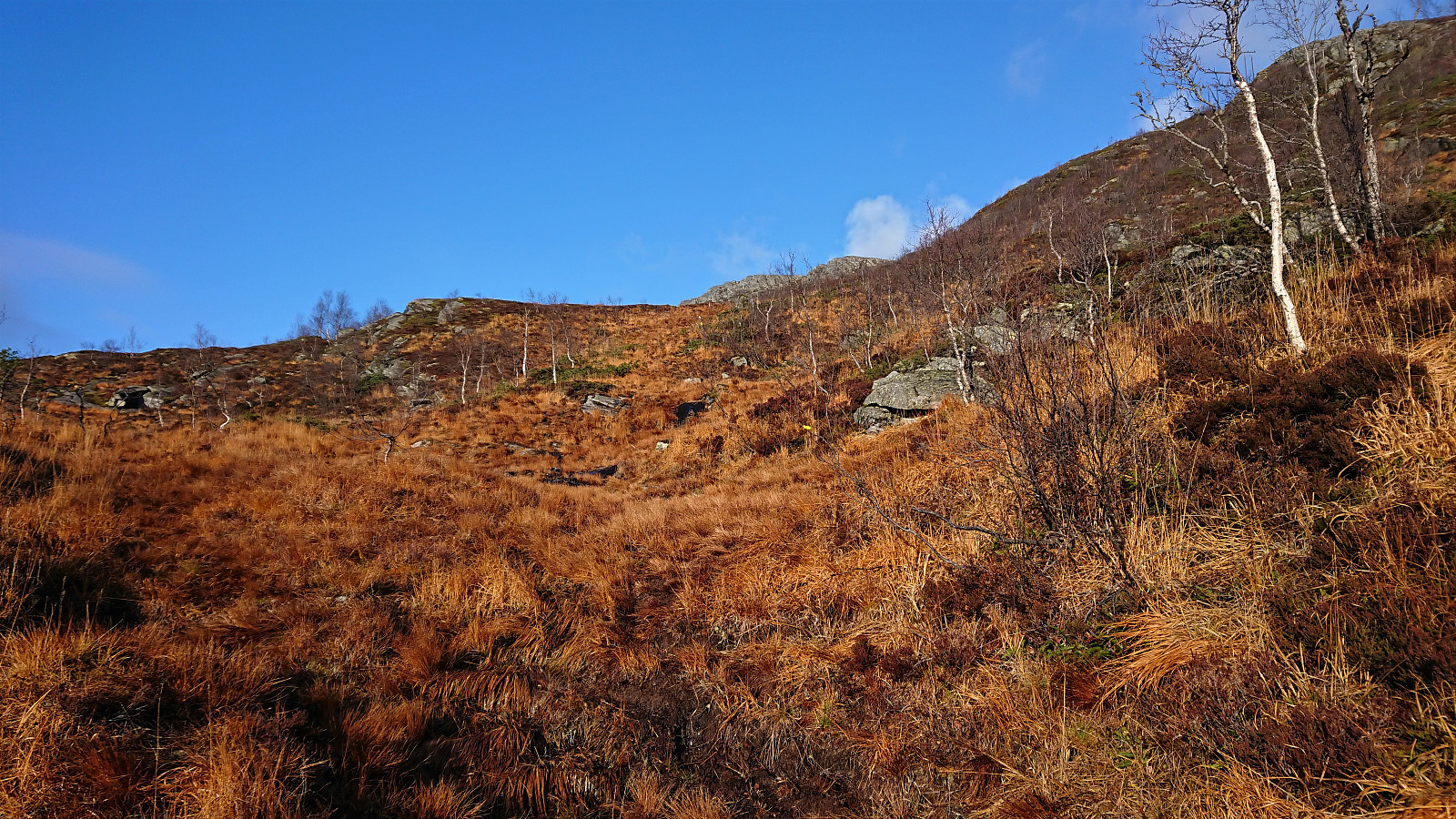
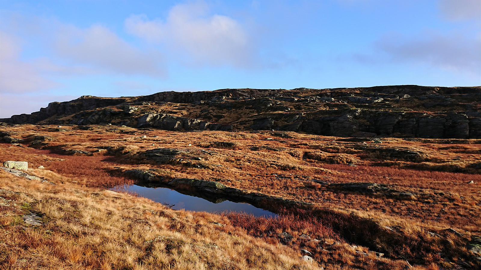
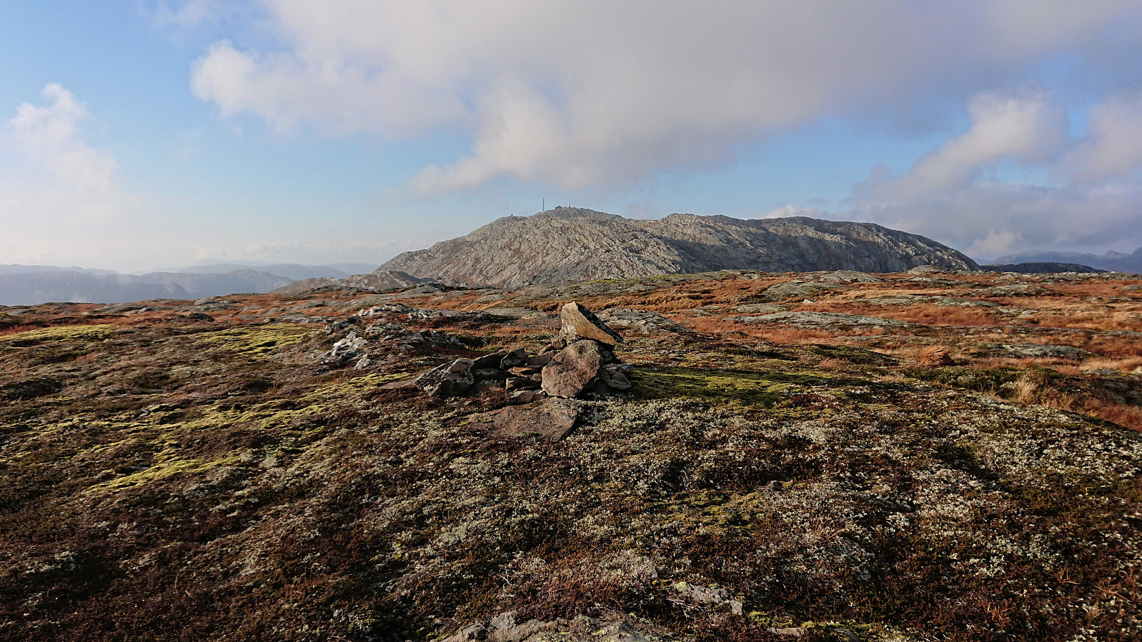
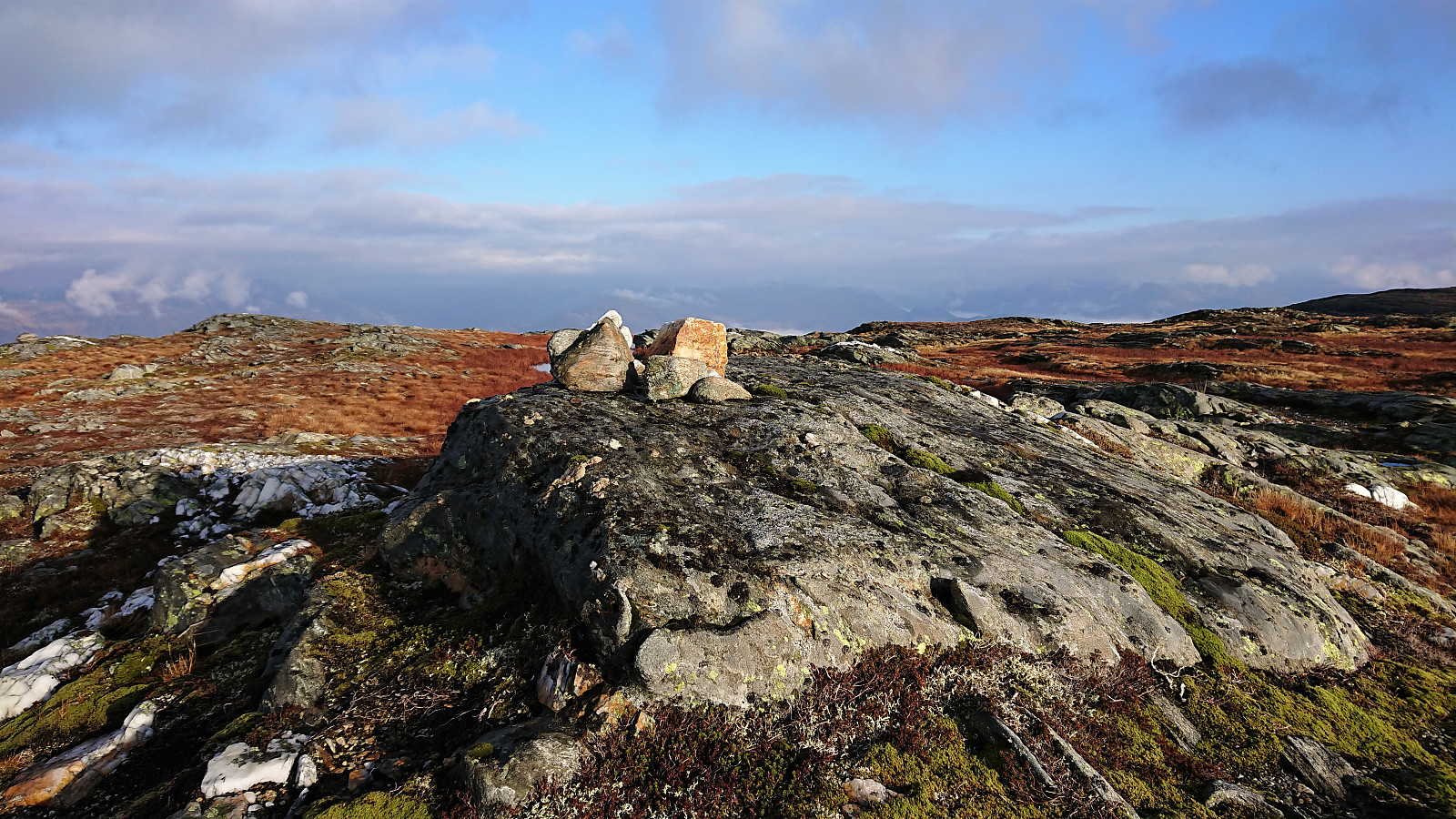
As the trail turned west towards the summit of Dystingen, I made an off-trail detour to Flatafjellet on my own, before we later reunited at the summit of Dystingen. My route to Flatafjellet did not provide any challenges, perhaps with the exception of trying to locate the exact summit, as Flatafjellet definitely lives up to its name. As far as I could tell, there are two competing summits, so I visited both just to be sure.
From Flatafjellet, I returned along more or less the same route to the marked trail to Dystingen. Upon reconnecting with the trail I however struggled a bit to locate the markers and ended up partly making my own way instead. (I think our descent route is more closely following the marked trail.)
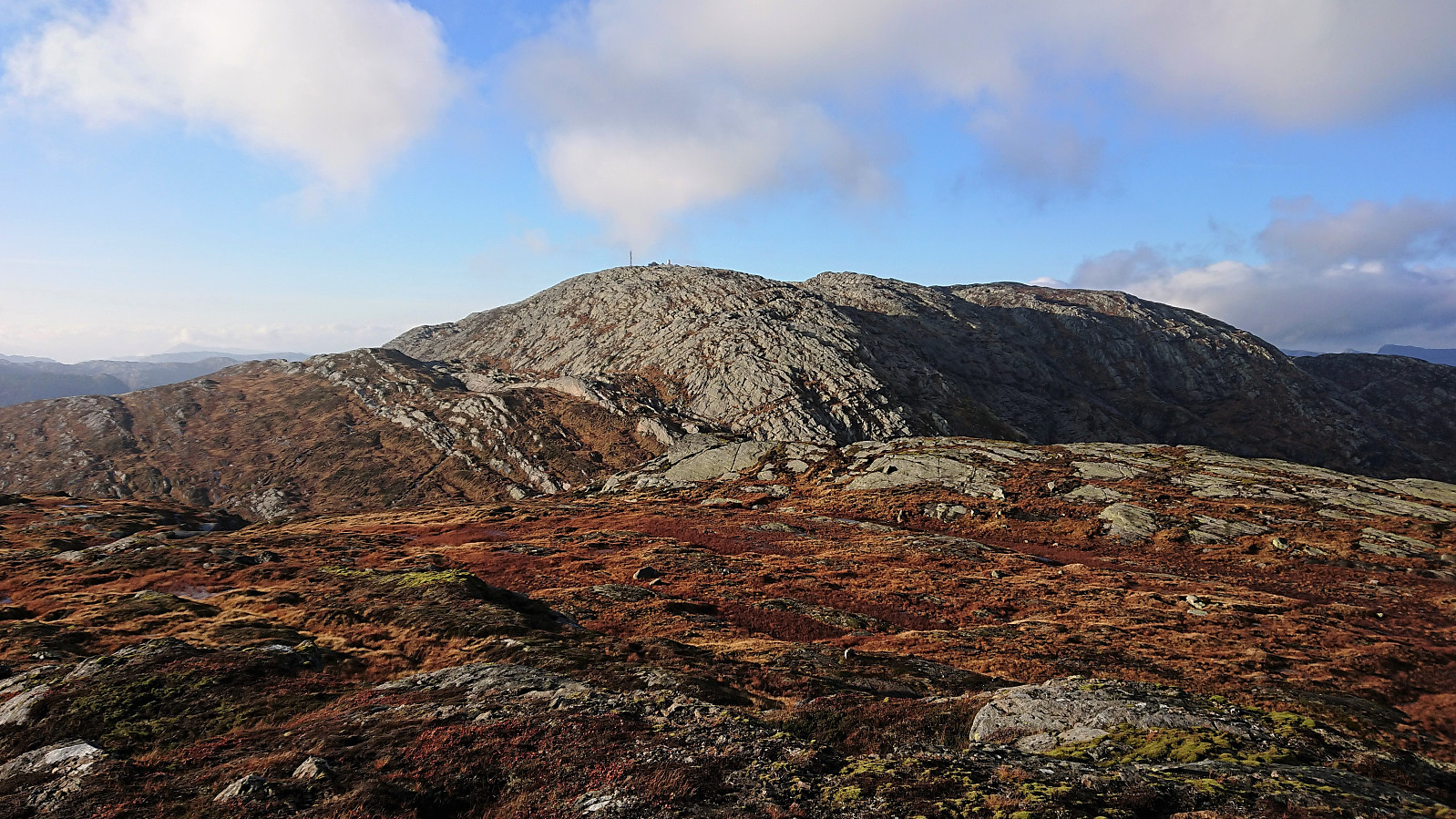
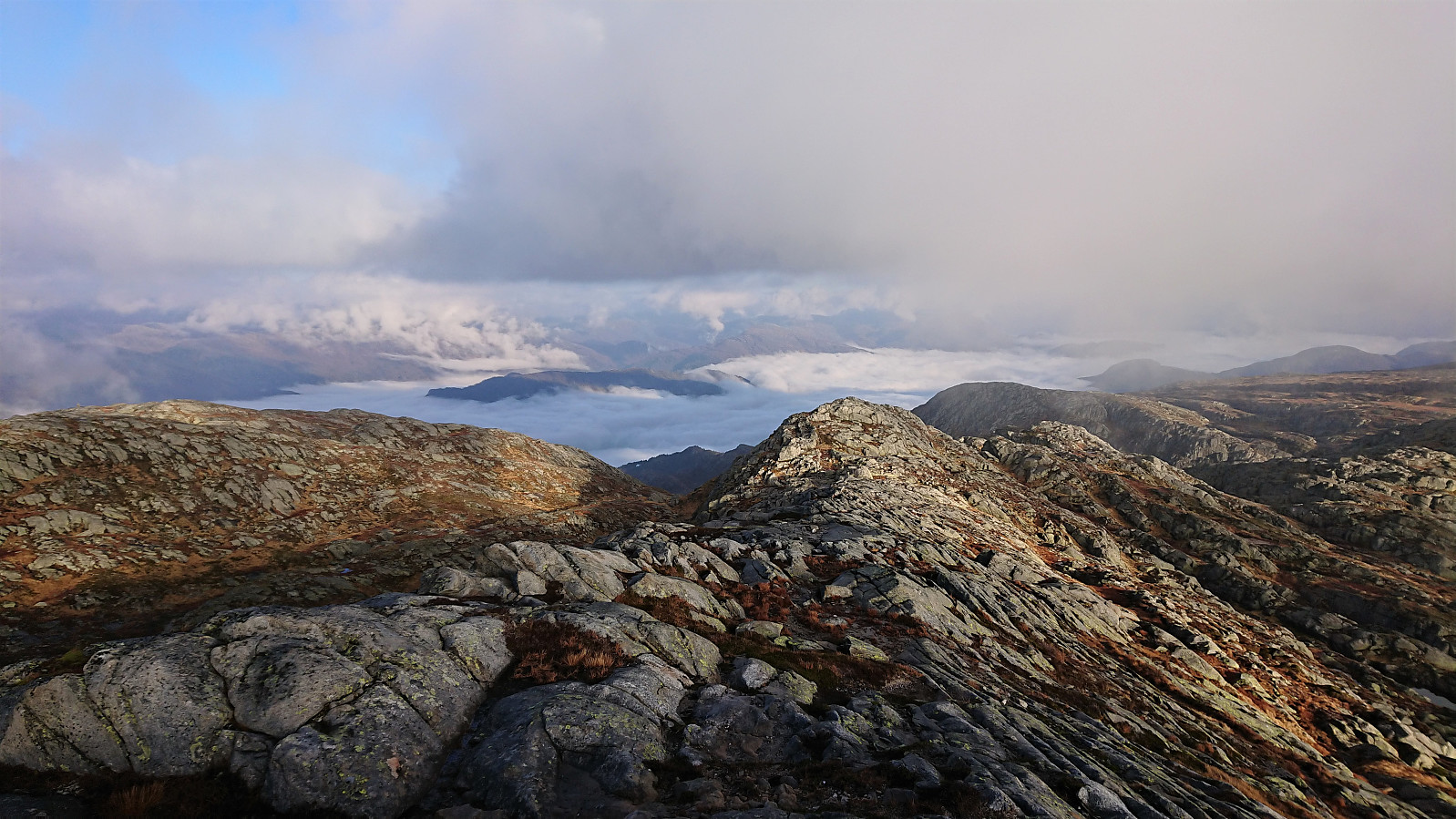
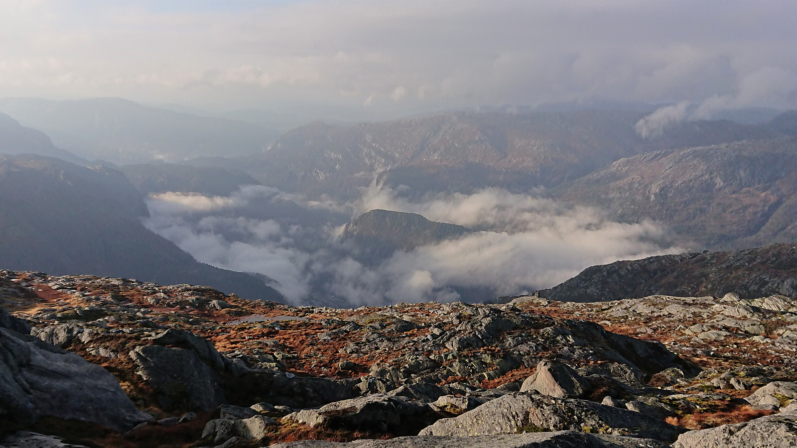
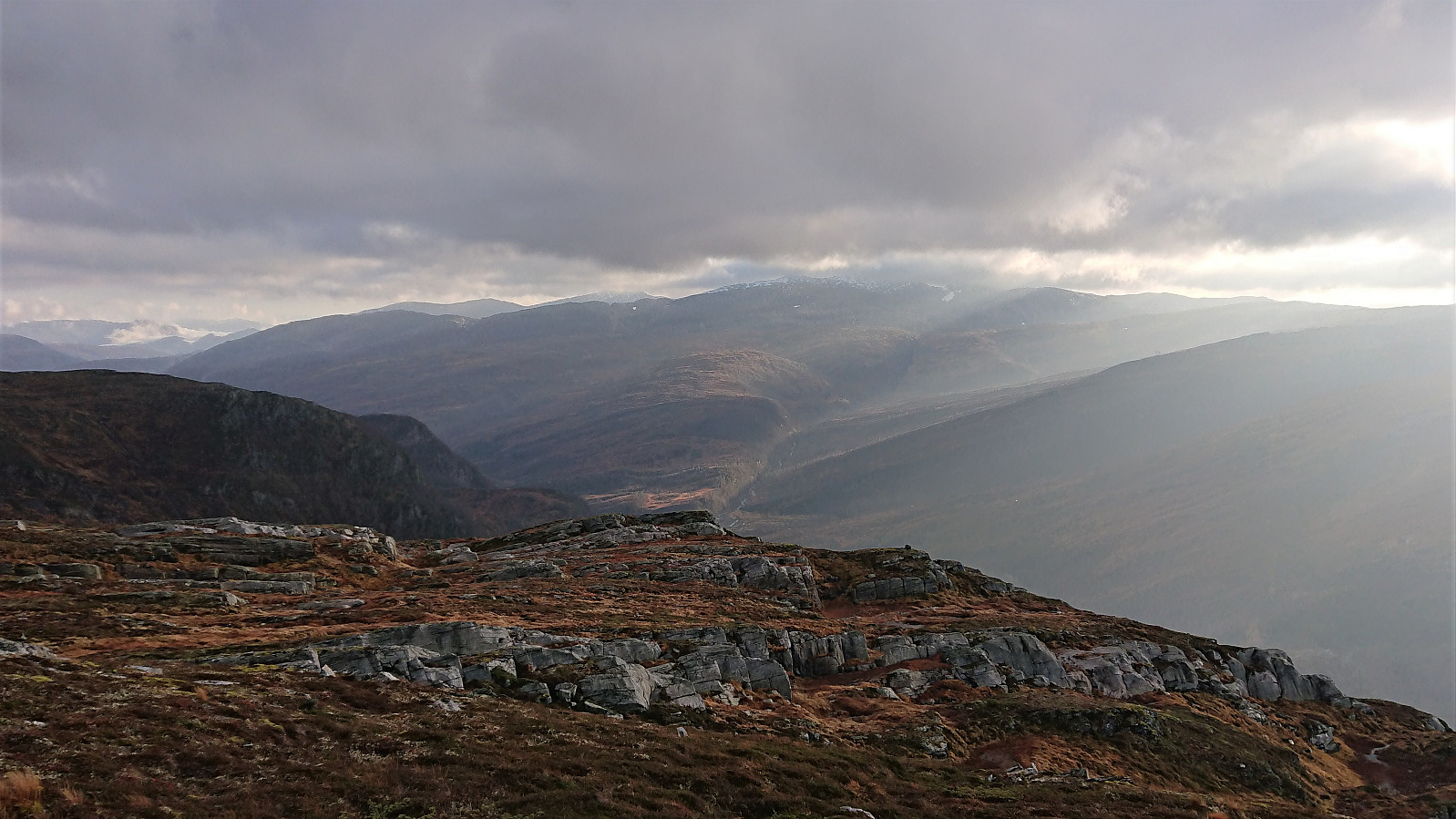
Dystingen provided excellent views, although today slightly limited by both fog and low-hanging clouds. After a quick bite we returned along the marked trail to the parking lot at Fosse. The only difference being that we followed an old tractor road towards the very end rather than going all the way down to the trailhead.
All in all, an excellent short and steep hike that can be highly recommended. Note however that even though Flatafjellet can be reached without any difficulties, most hikers will probably not feel the need for this extra off-trail detour.


| Start date | 08.11.2020 10:17 (UTC+01:00) |
| End date | 08.11.2020 14:11 (UTC+01:00) |
| Total Time | 3h 53min |
| Moving Time | 3h 34min |
| Stopped Time | 0h 19min |
| Overall Average | 2.0km/h |
| Moving Average | 2.2km/h |
| Distance | 7.8km |
| Vertical meters | 802m |


User comments