
Langdale to Scafell round (16.02.2008)

Written by hmsv1 (Hannah Vickers)
| Start point | Great Langdale |
|---|---|
| Endpoint | Great Langdale |
| Characteristic | Hillwalk |
| Map |
|
| Ascents | Bowfell (902m) | 16.02.2008 |
|---|---|---|
| Esk Pike (885m) | 16.02.2008 | |
| Great End (910m) | 16.02.2008 | |
| Ill Crag (935m) | 16.02.2008 | |
| Scafell Pike (978m) | 16.02.2008 |
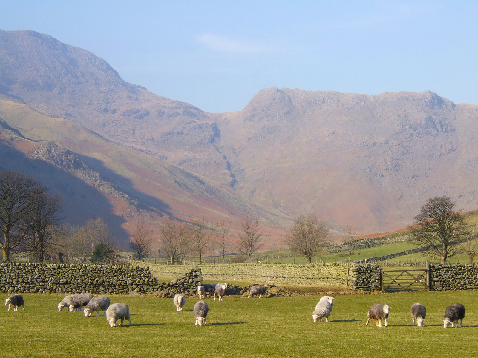
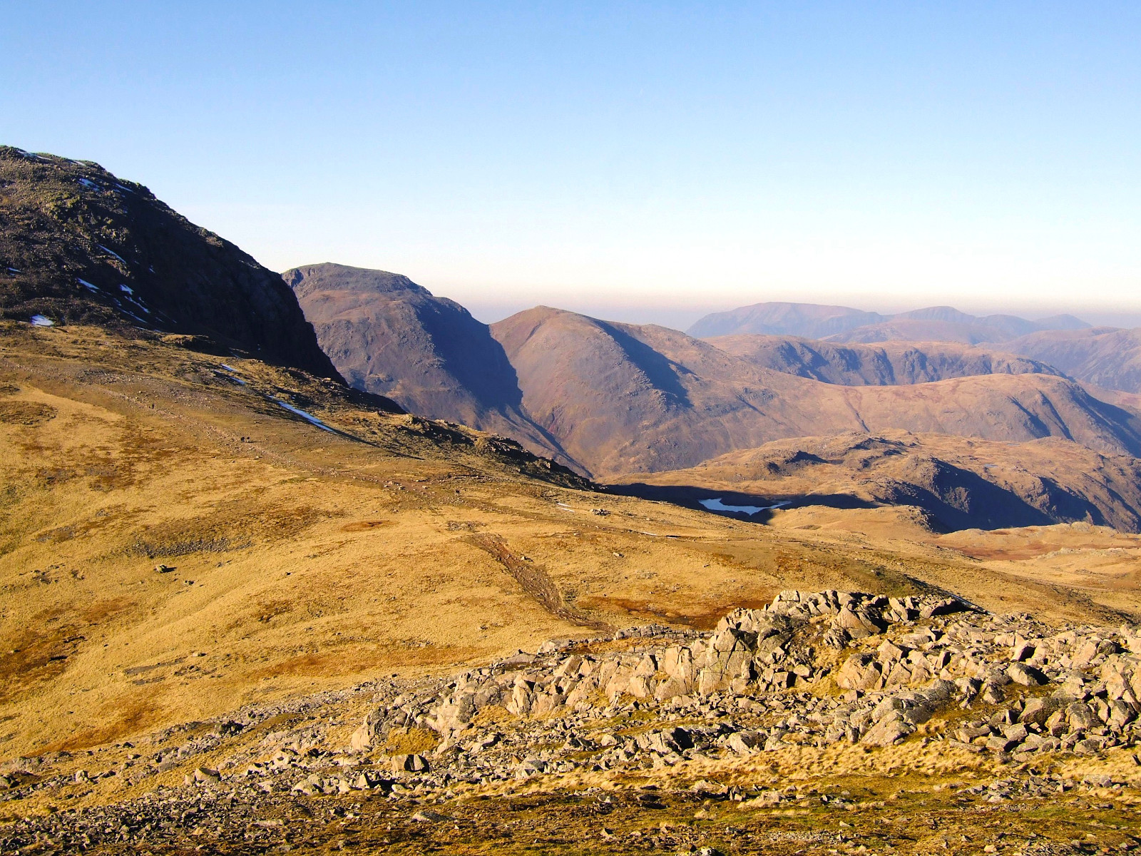
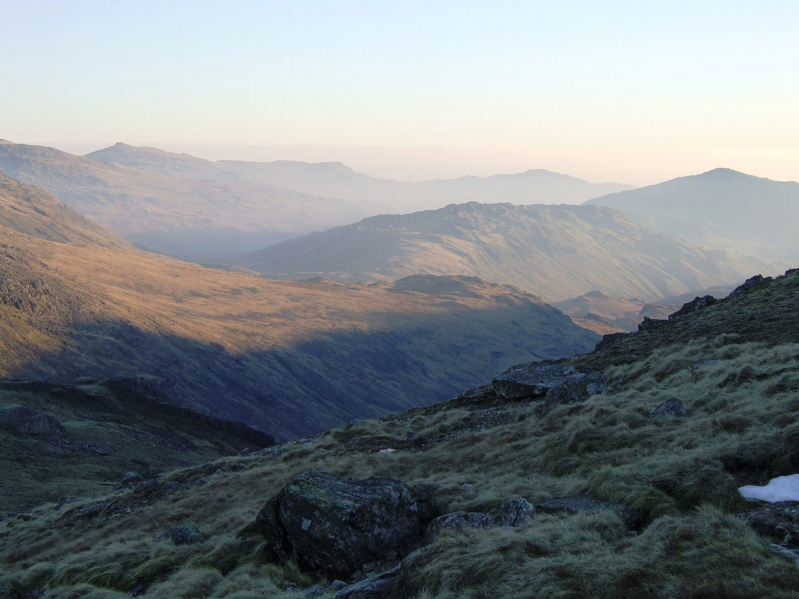
A classic all-time favourite of mine, done in perfect spring-like weather with crystal clear blue skies and warm enough to wear a t shirt without a jacket on top. I started the hike at 11am from Great Langdale, hoping to be 'late enough' on top of Scafell Pike to see a sunset without having to wait around on the top for too long. Bow Fell was busy with many people having lunch when I got there, enjoying the gorgeous views over Great Moss and the hazy layer of sunshine below the summits.
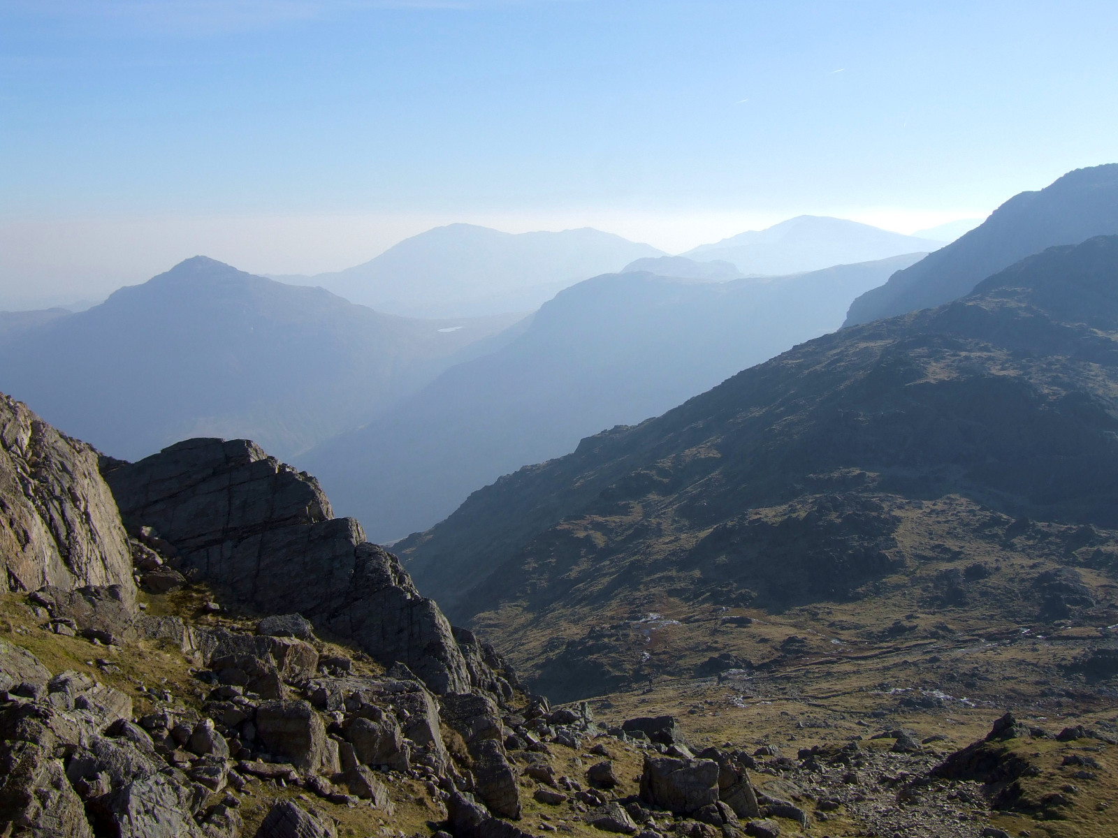
It was nice to be in the company of other enthusiastic hikers and even though some people might prefer to have a mountain to themselves, I think a dozen other hillwalkers in good spirits is better than no one at all. From Bow Fell I took the usual descent northwards and across to Esk Pike, enjoying the views eastwards over Great Langdale and all the way over to the Helvellyn range.
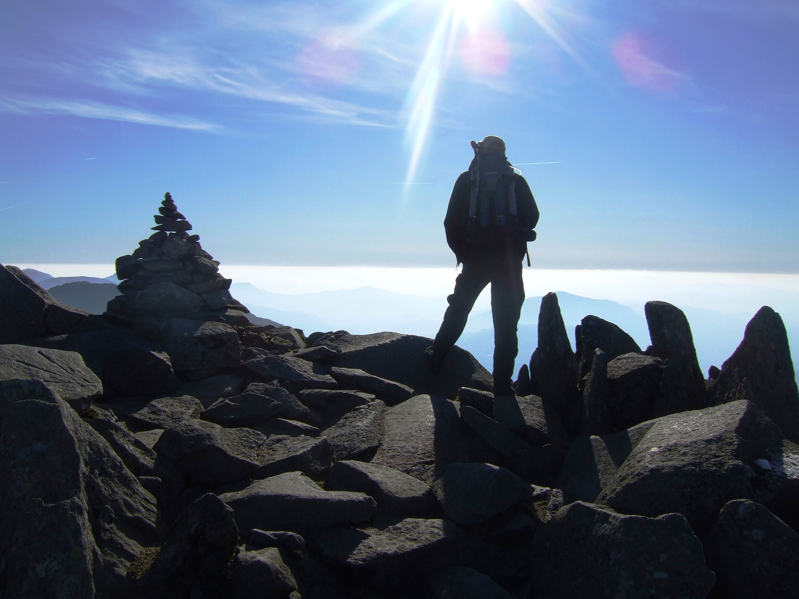
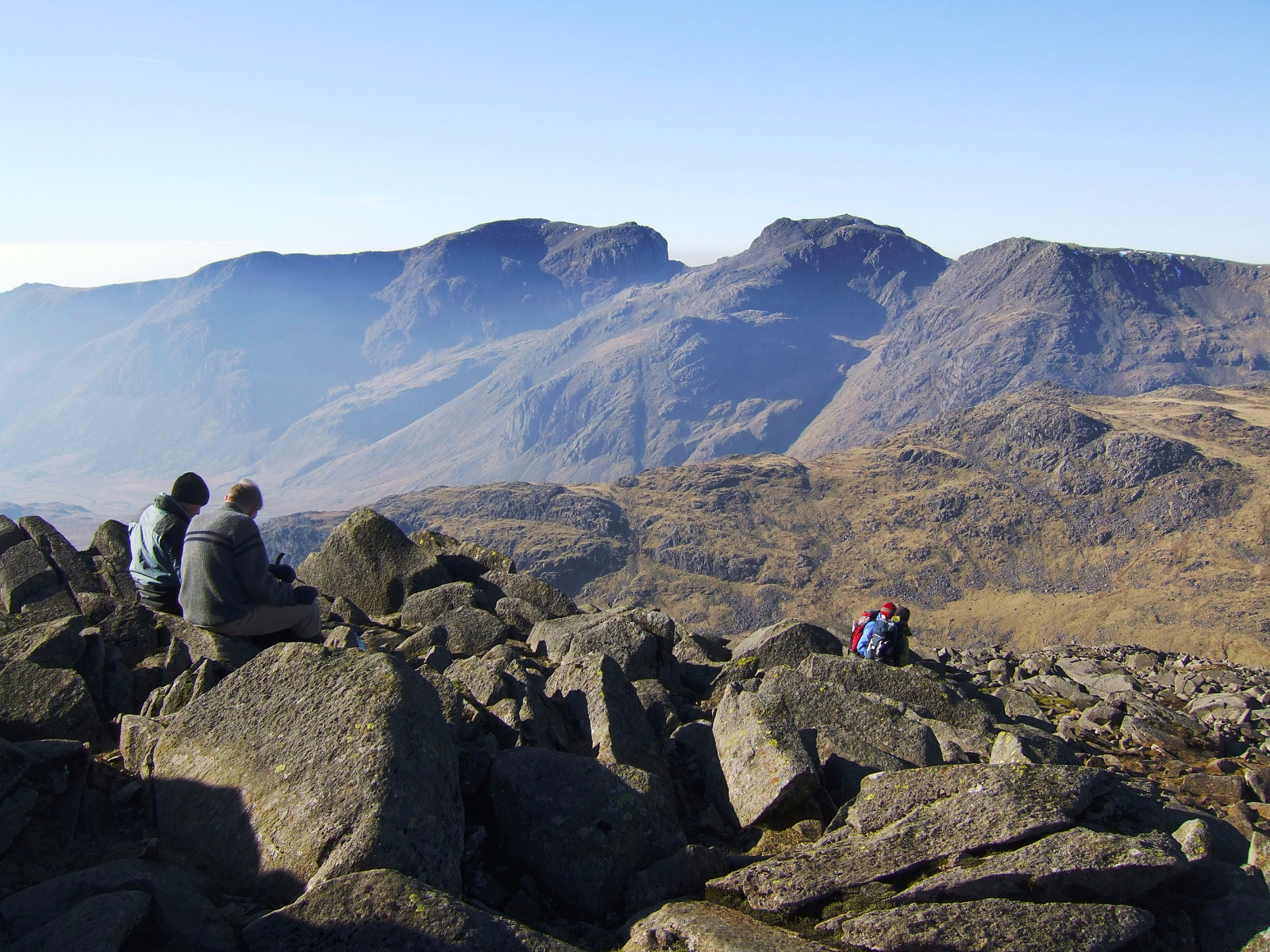
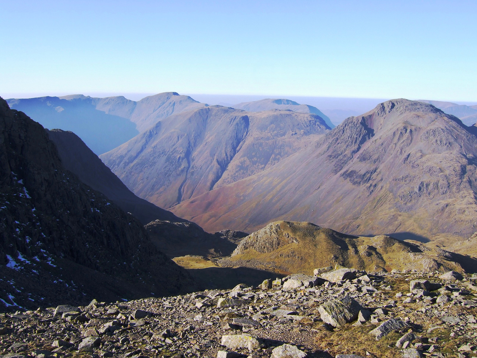
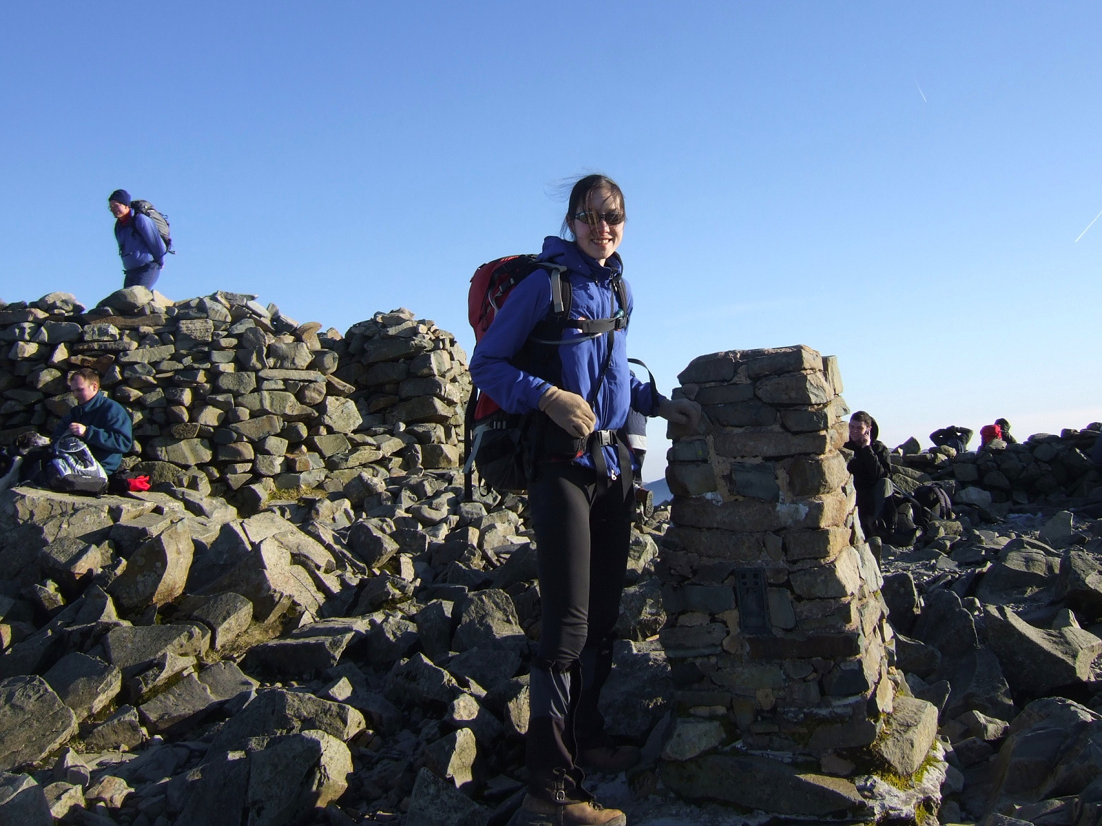
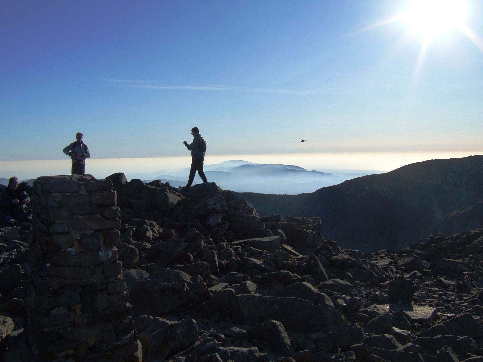
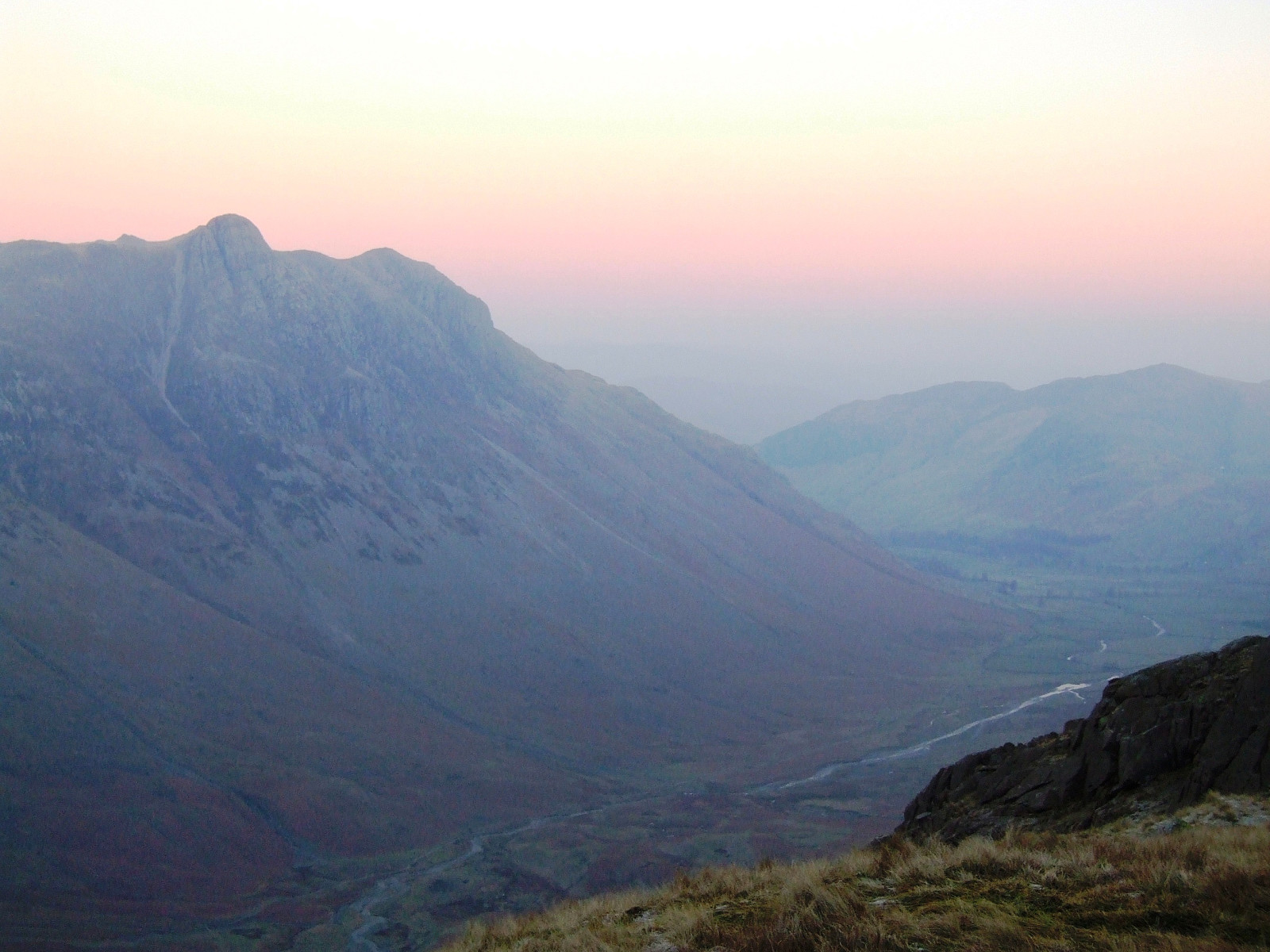
In the north was Keswick, the Derwent fells and the Langstrath valley and of course to the northwest there was Great Gable and the Buttermere fells behind. Great visibility all around. I unfortunately got to the summit of Scafell Pike at about 2pm, despite taking the small detour over to Great End first, so it meant that either I would have to wait for more than an hour to see the sun set, or I could just carry on the rest of my route down to Langdale again and see the sun set from elsewhere. I took a pretty long break just below the top, with lunch and a hot chocolate to keep me warm, but it still wasn't late enough.
In the end I decided to carry on back to Langdale, and eventually the pinky-purple skies appeared just as I was leaving Angle Tarn by Rossett Pike. I wanted to make it down into Micleden before it got too dark though, as the clear skie was guaranteeing that there would be frostand ice forming on the paths quite rapidly as the warmth disappeared from the air.
All went well on the long staircase back to the bottom of the valley - until I was just metres away from the Old Dungeon Ghyll pub, at which point I slipped over on some nice (it was dark by this point and I missed seeing it). Nevertheless I acquired only a bruise and nothing more painful!


User comments