
Haugane (13.09.2020)

Skrevet av hbar (Harald Barsnes)

| Startsted | Hesthaugen (91moh) |
|---|---|
| Sluttsted | Tertneskrysset (75moh) |
| Turtype | Fottur |
| Turlengde | 1t 37min |
| Distanse | 7,9km |
| Høydemeter | 191m |
| GPS |
|
| Andre besøkte PBE'er | Haugane (123moh) | 13.09.2020 |
|---|
Haugane
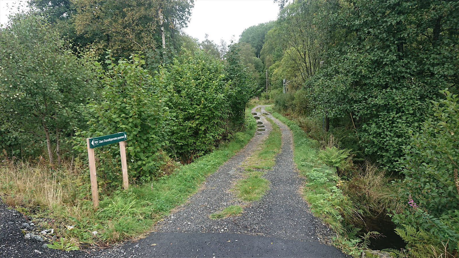
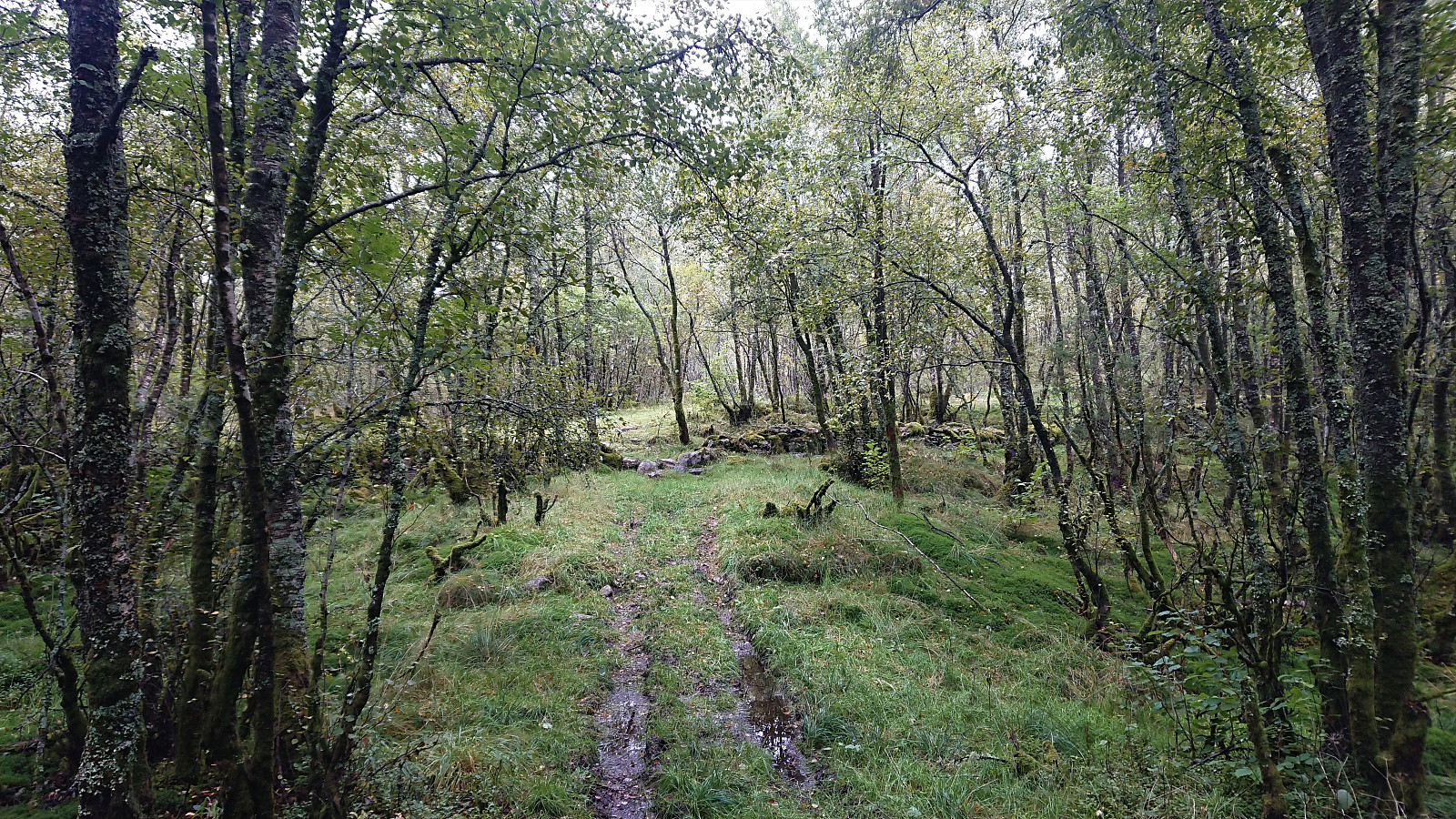
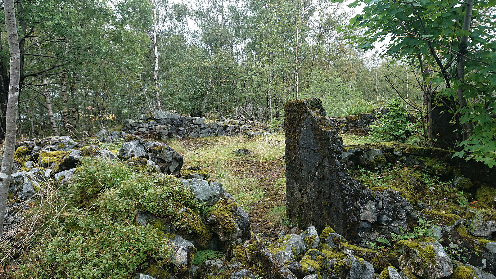
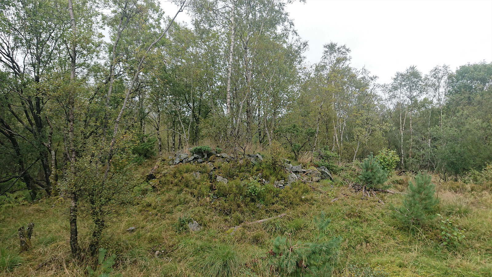
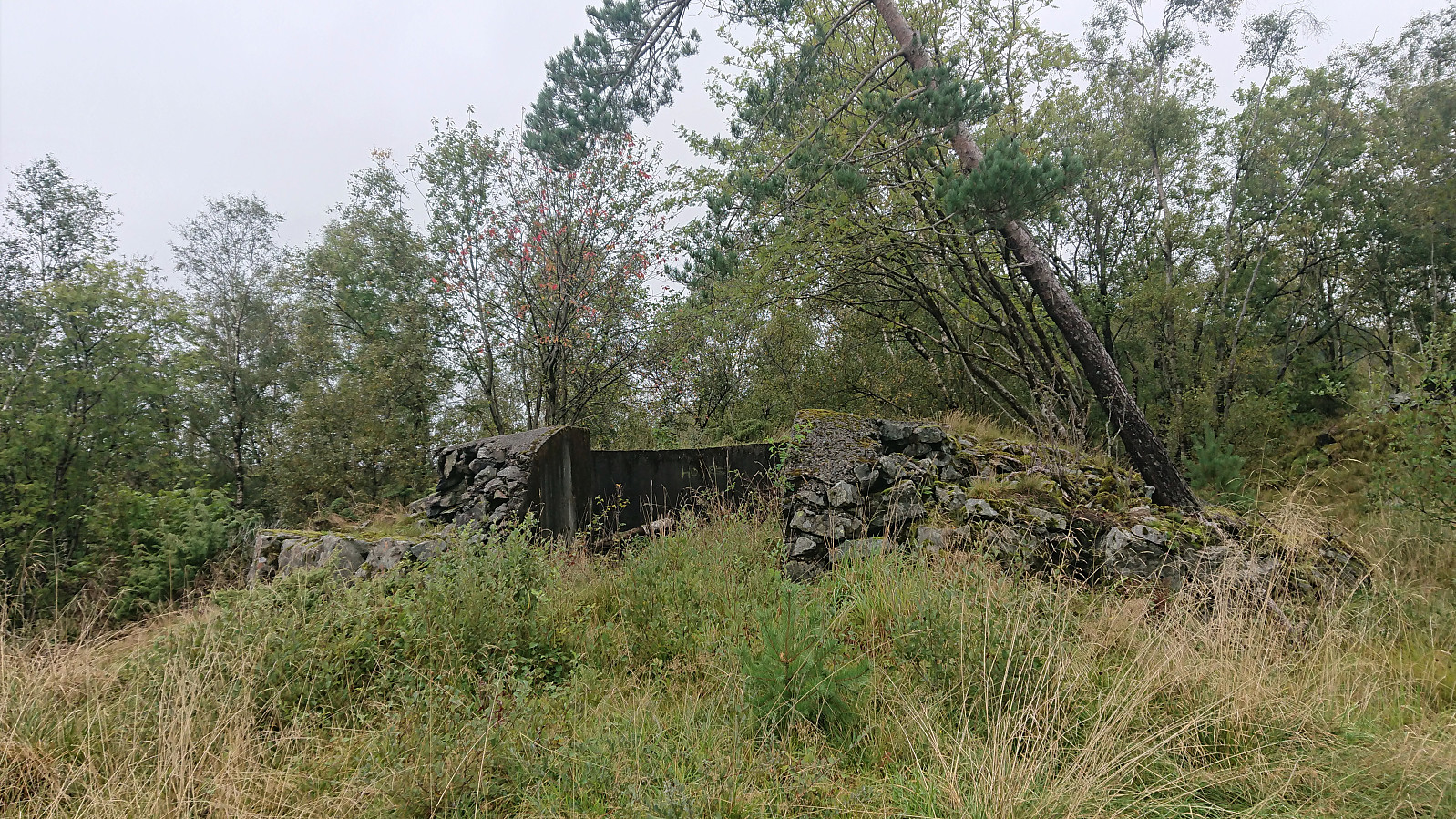
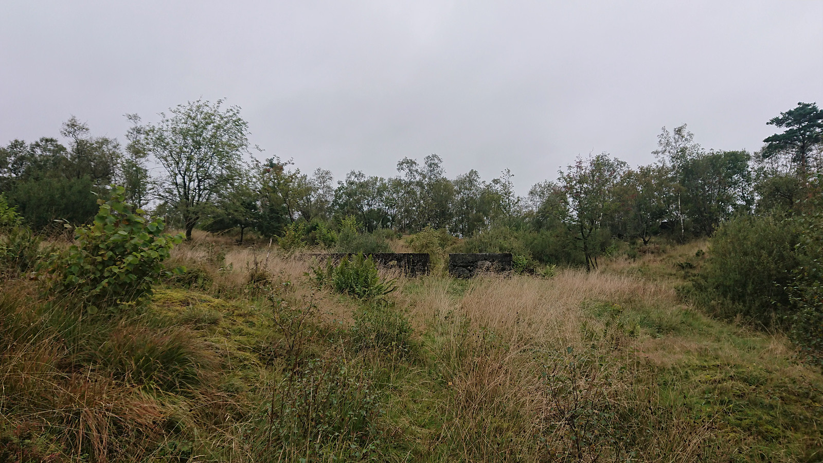
When neither the weather nor the recent local Covid-19 restrictions on public transportation were compatible with proper hiking, I decided to instead go for some local explorations in Åsane. The main goal being to visit Haugane, a small hill where the map indicated a couple of ruins from the second world war.
For more information about cultural monuments in the area, see Kulturminnedokumentasjon: Nyborg – Åsane.
| Starttidspunkt | 13.09.2020 13:53 (UTC+01:00 ST) |
| Sluttidspunkt | 13.09.2020 15:31 (UTC+01:00 ST) |
| Totaltid | 1t 37min |
| Bevegelsestid | 1t 37min |
| Pausetid | 0t 0min |
| Snittfart totalt | 4,9km/t |
| Snittfart bevegelsestid | 4,9km/t |
| Distanse | 7,9km |
| Høydemeter | 191m |


Kommentarer