
Instebotnsknolten and Sørdalsnuten from Sognevegen (E39) (30.08.2020)

Written by hbar (Harald Barsnes)

| Start point | Sognevegen (E39) (303m) |
|---|---|
| Endpoint | Sognevegen (E39) (300m) |
| Characteristic | Hillwalk |
| Duration | 6h 53min |
| Distance | 23.7km |
| Vertical meters | 1,230m |
| GPS |
|
| Ascents | Instebotsknolten (919m) | 30.08.2020 |
|---|---|---|
| Sørdalsnuten (957m) | 30.08.2020 | |
| Visits of other PBEs | Dyrkolbotn p-plass (350m) | 30.08.2020 |
Instebotnsknolten and Sørdalsnuten from Sognevegen (E39)
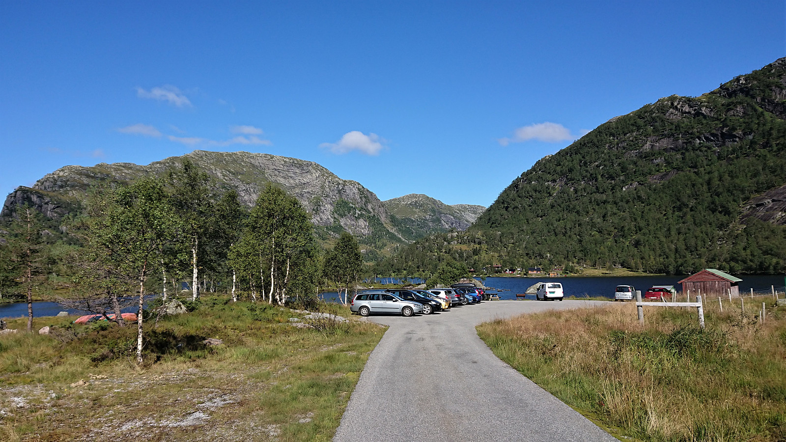
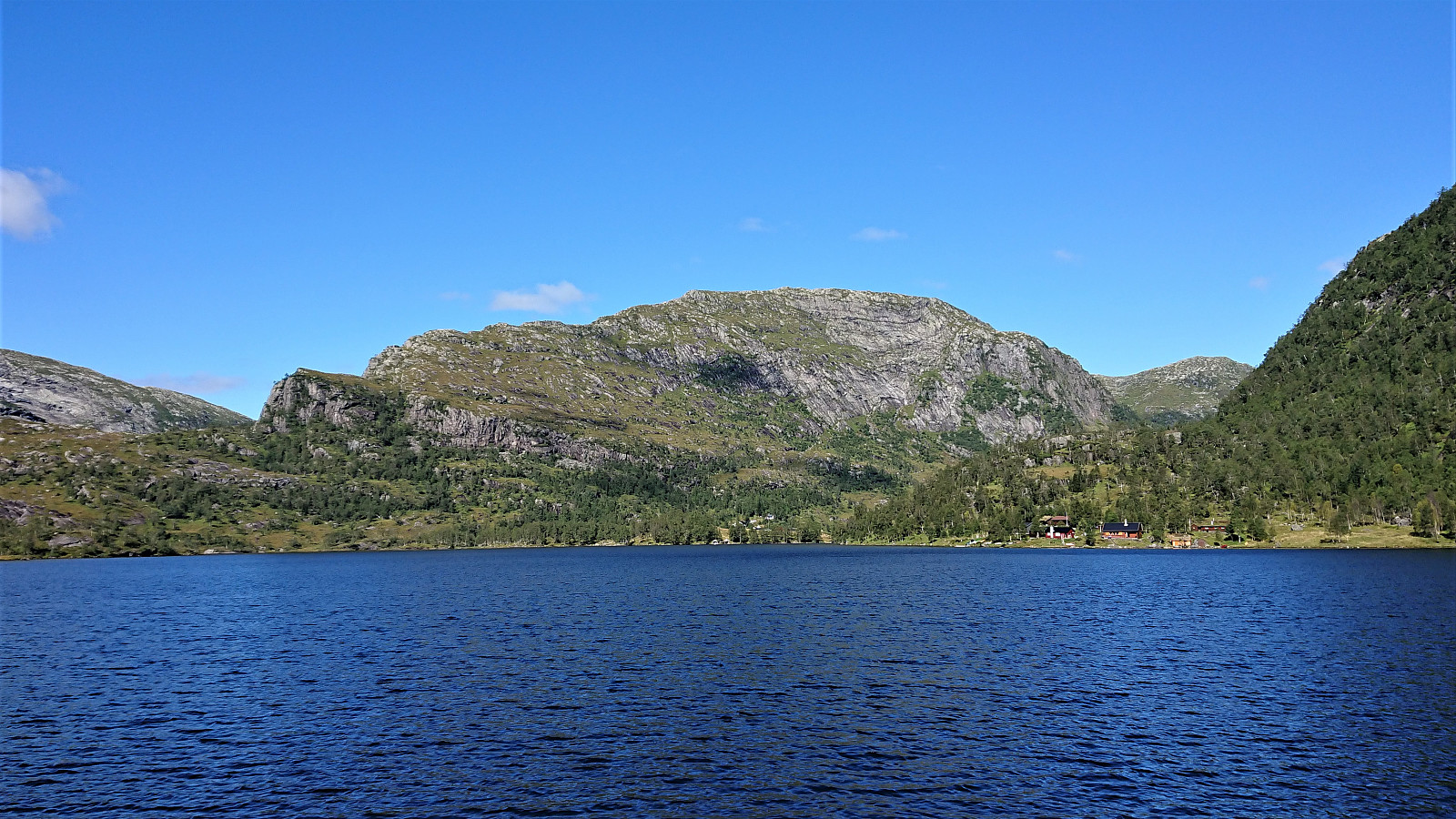
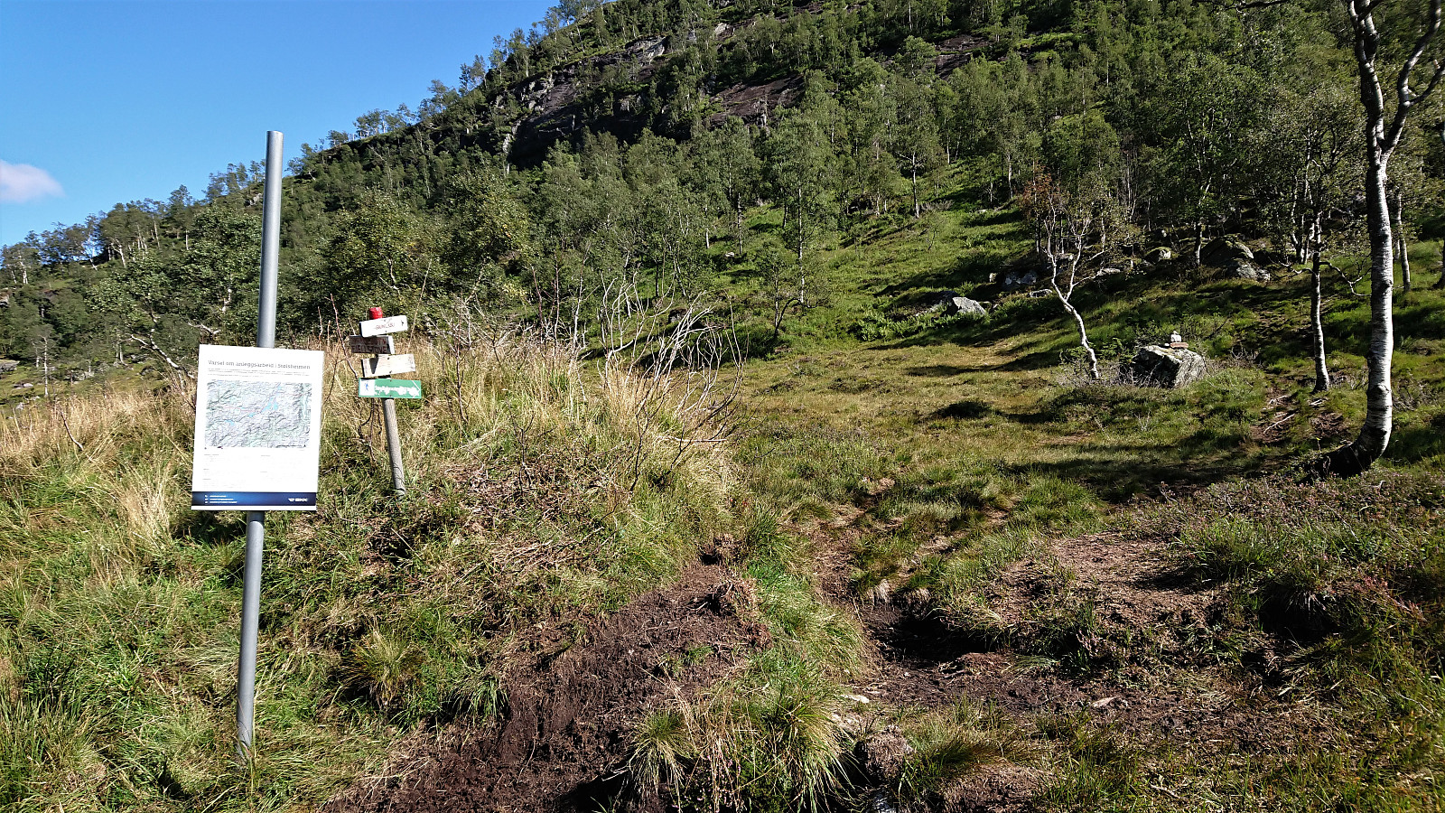
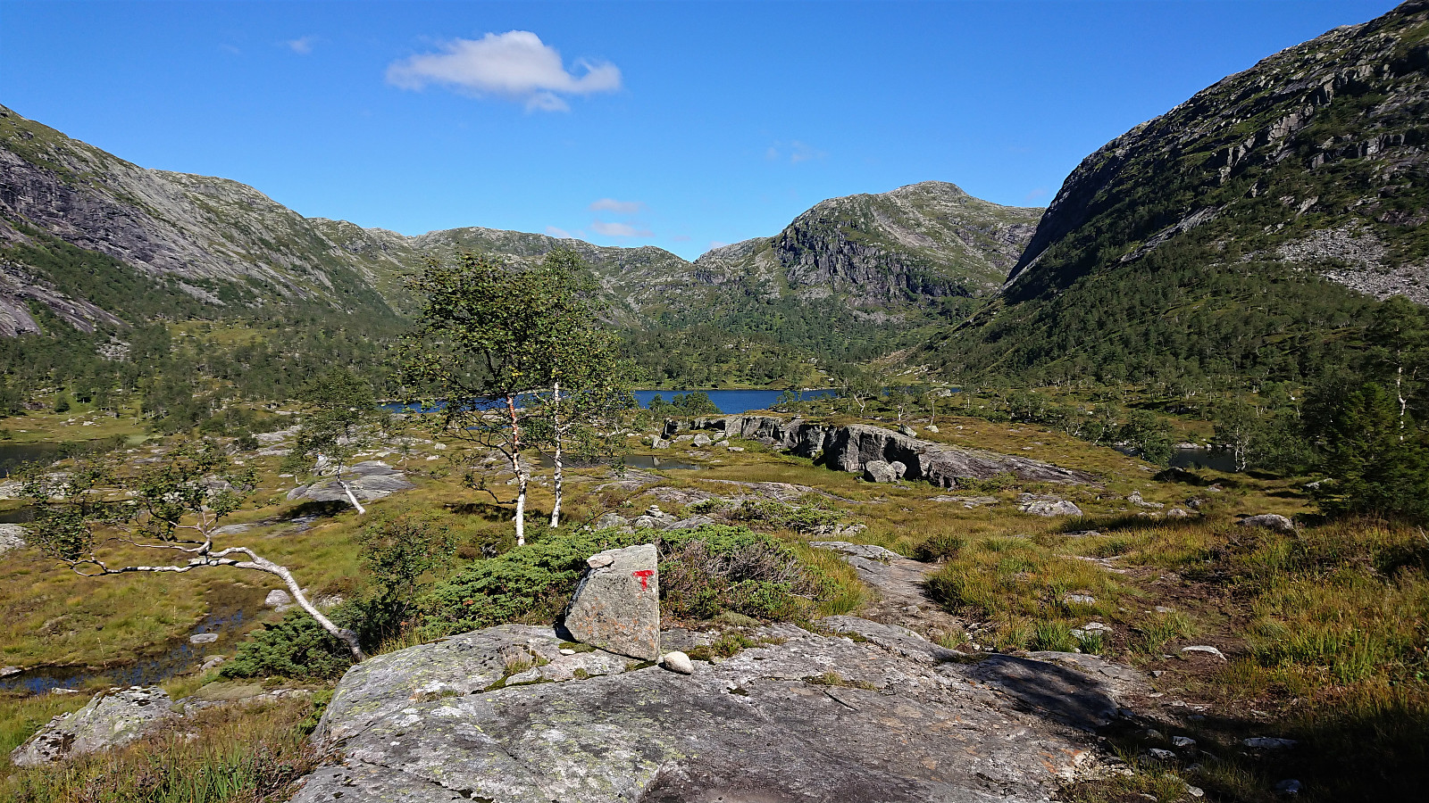
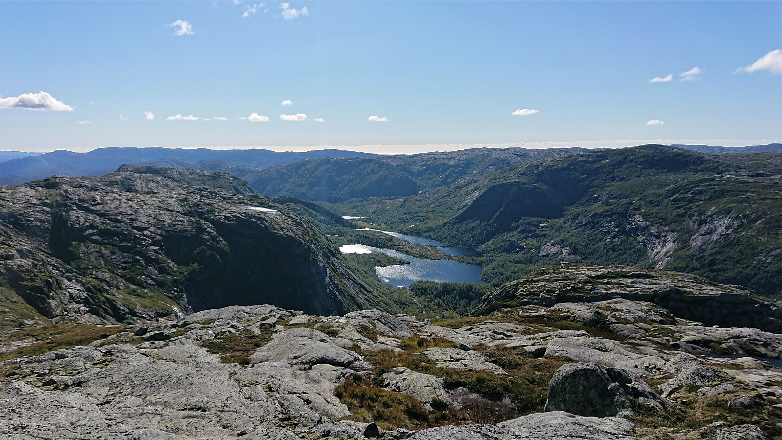
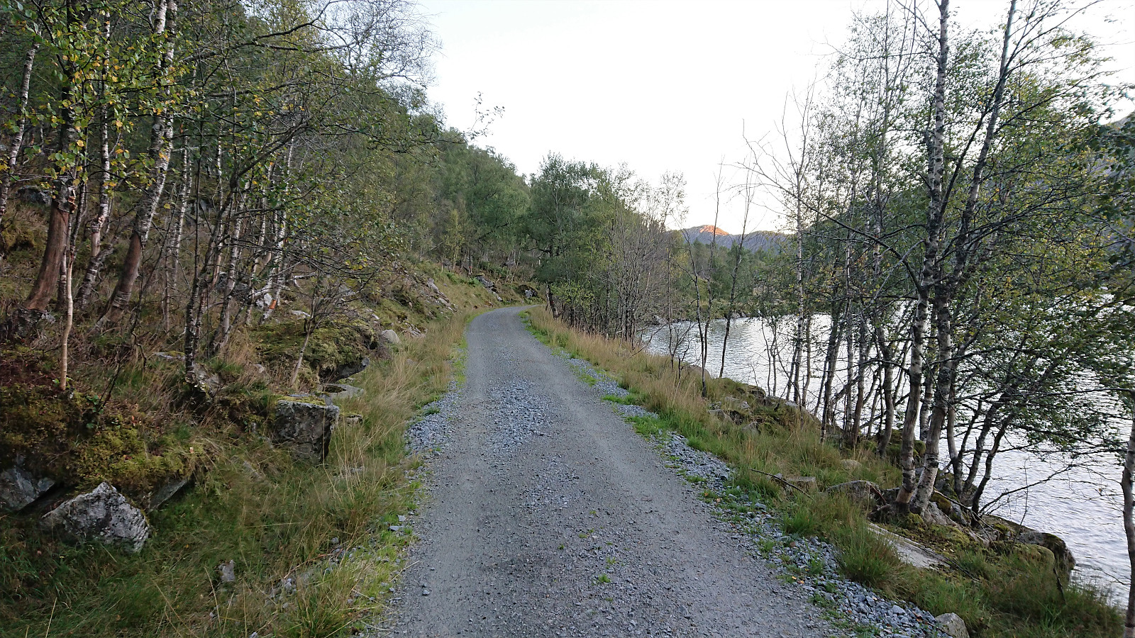
I started by taking the bus to Dyrkollebotnen and following the paved road up to Dyrkolbotn P-plass. After passing the gate and a large herd of goats, I continued on the gravel road along Botnavatnet/Heimevatnet to the marked trailhead for Sørdalsnuten at the northern end of the lake. The first part of the trail was not of the best quality, but thankfully this improved as I reached Fossvatnet.
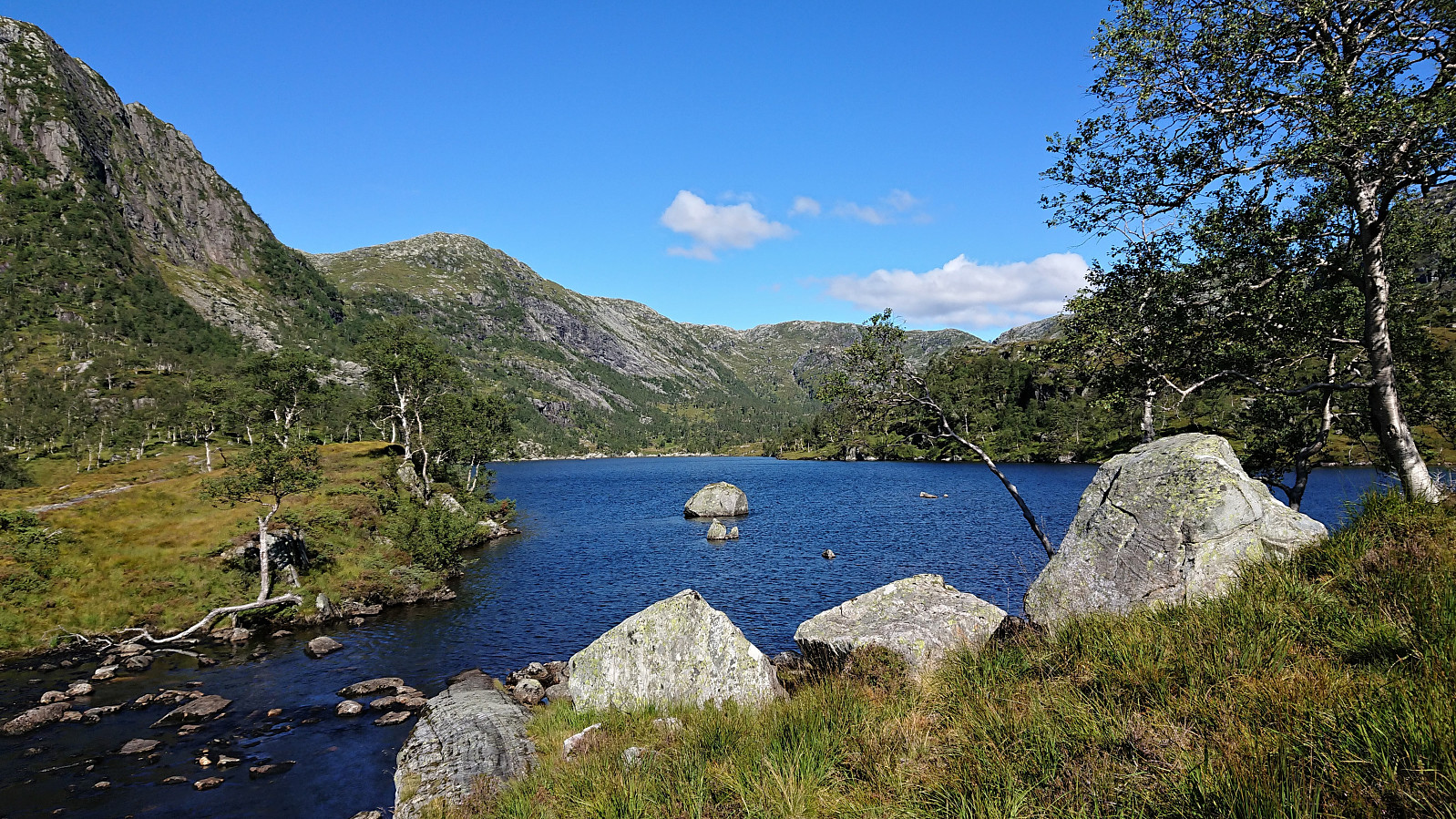
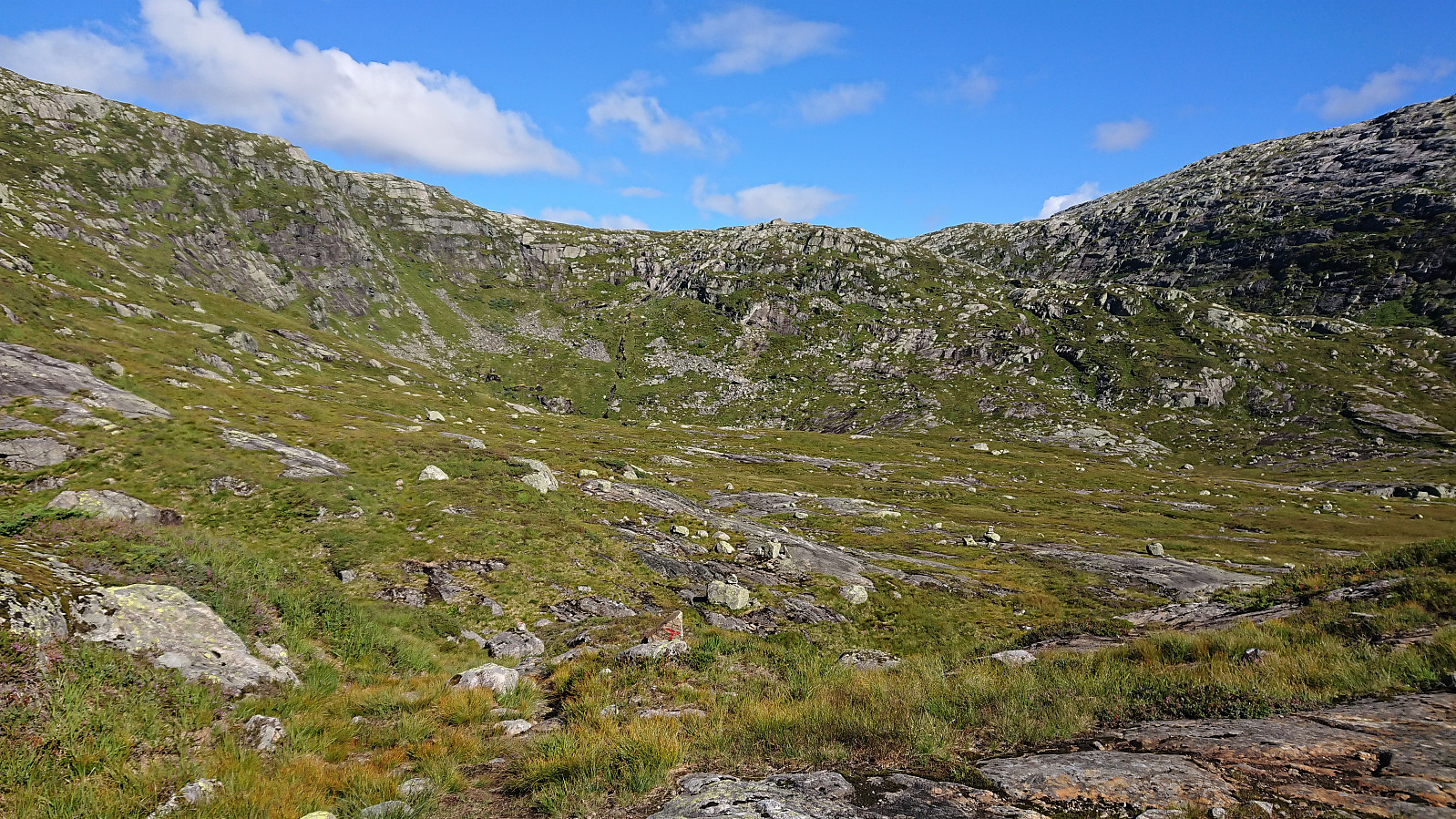
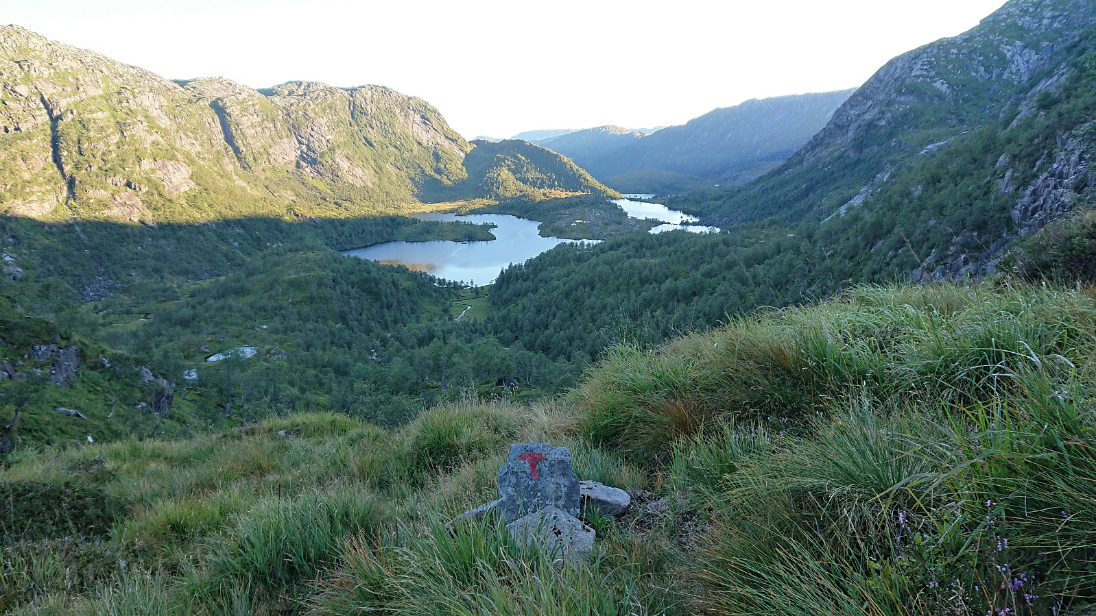
After passing over Langeneset the trail crossed the river via a bridge and then ascended briefly before descending into Midtbotnen where it started the climb up the valley. Upon reaching the top of Sørdalen, the trail forked and I shortly continued on the route to Sørdalsnuten before heading off-trail in the direction of Instebotnsknolten.
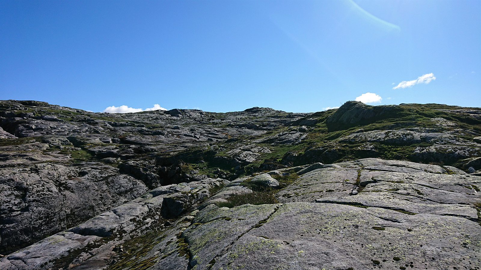
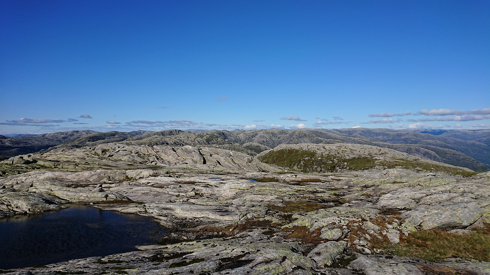
The terrain did not present any challenges and the summit of Instebotnsknolten was reached without any difficulties. It provided a panoramic view, although besides looking back down towards Dyrkollebotnen, the views were quite monotonous, with nothing but rocky mountains as far as the eye could see. Combined with the wind now having picked up, I did not stay long before continuing southeast towards Sørdalseidet and Sørdalsnuten.
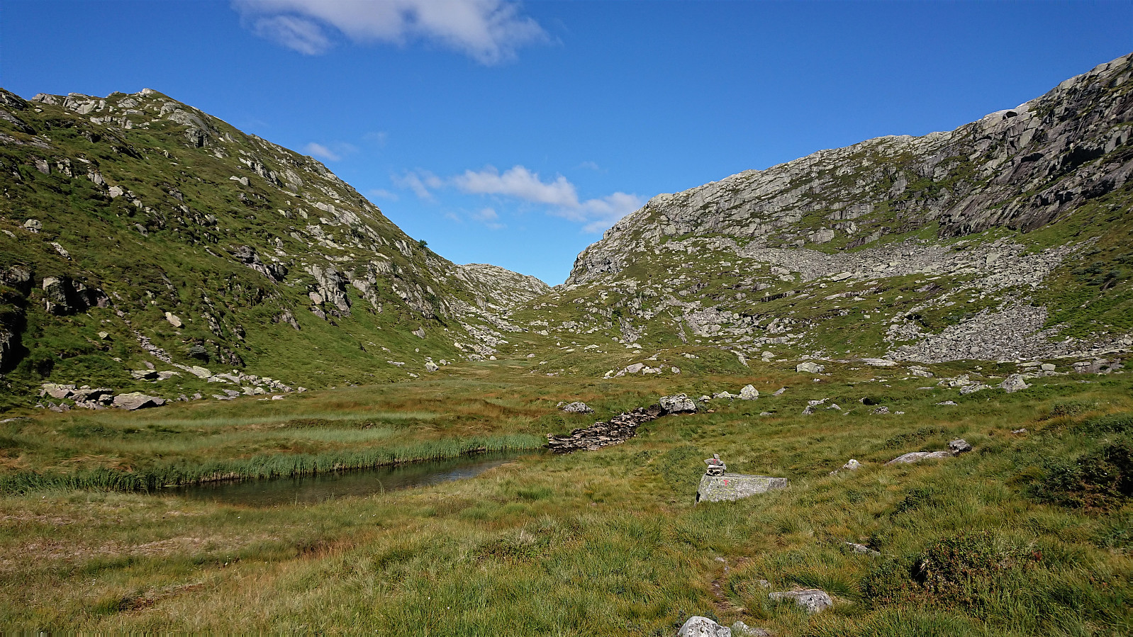
Getting back to the marked trail to Sørdalsnuten was not very difficult, however the last 150 meters did require a bit of light climbing in order to avoid a larger detour. In the end my route was pretty straightforward, but one can easily get into much steeper terrain if not paying attention. Not the best area for low-visibility conditions.
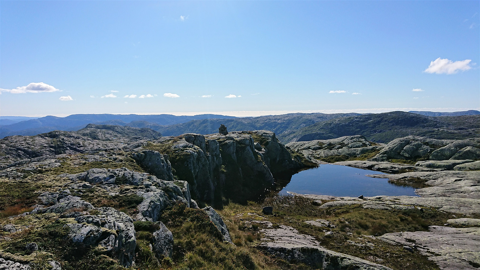
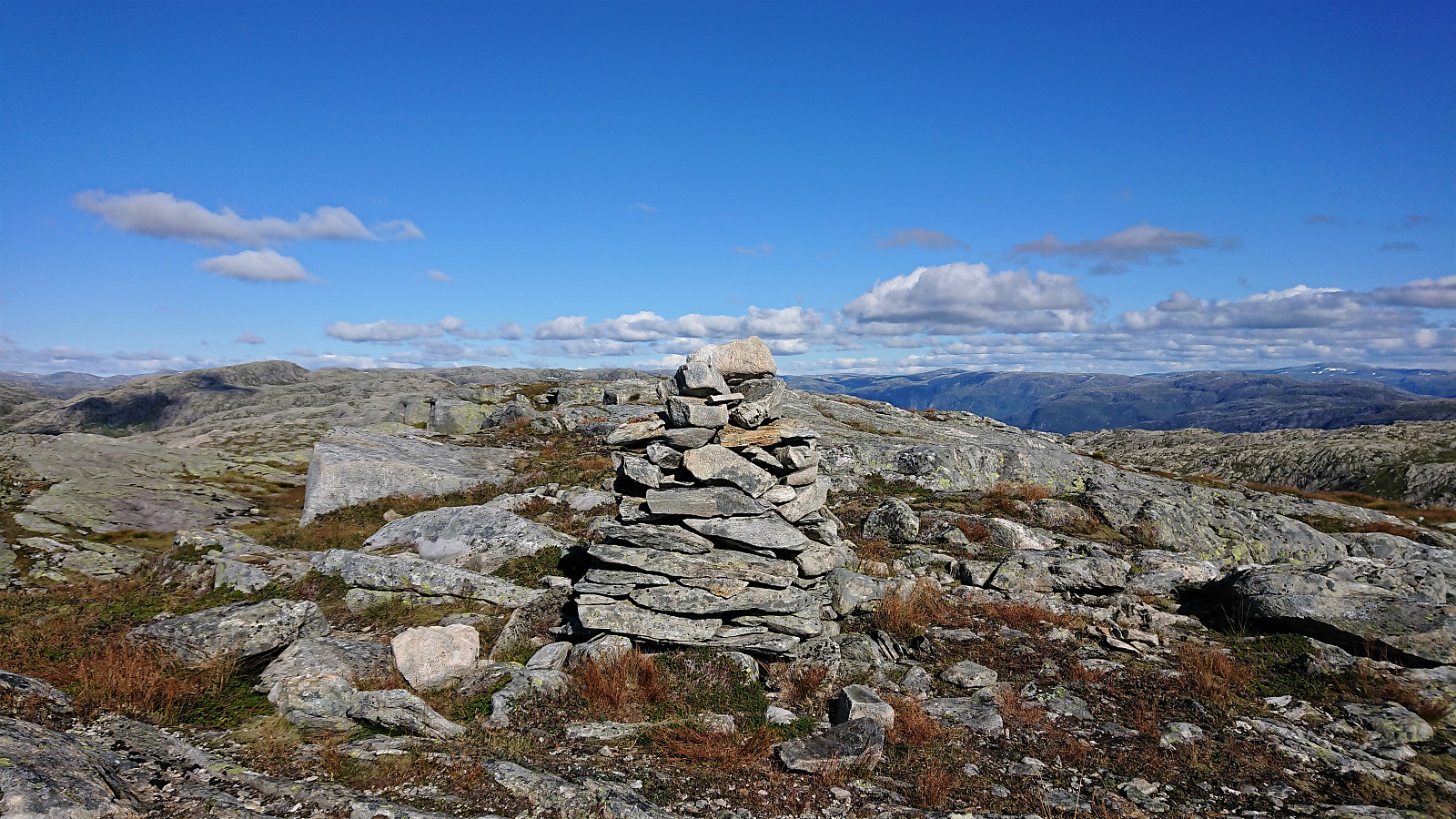
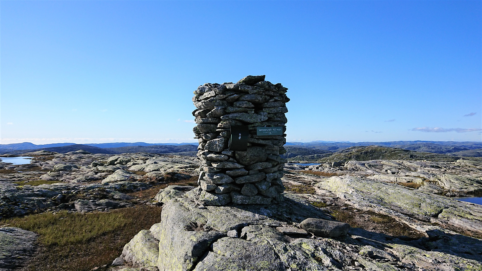
Now back on the marked trail, I tried to follow it south, but quickly made a wrong turn, and ended up searching for a minute or two before relocating it. In fact, the trail was rather weak, if visible at all, and the trail markers sometimes a bit far in between, which resulted in me not always knowing if I was on the trail or not. The direction was relatively obvious though, and I soon arrived at the large cairn marking the summit.
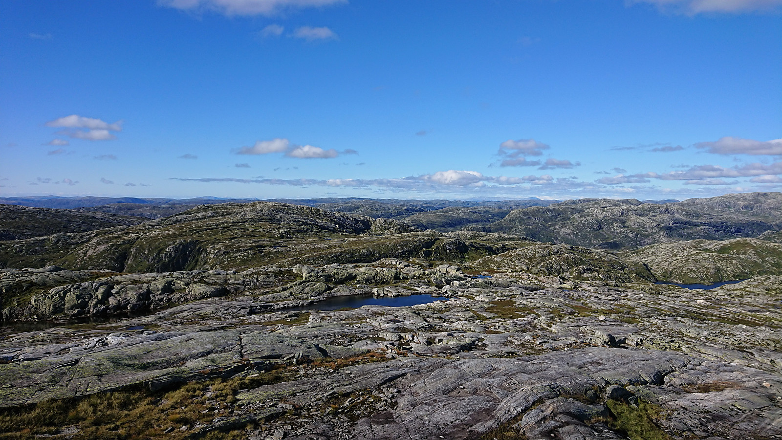
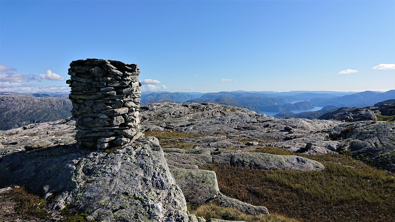
The views from the summit of Sørdalsnuten were pretty similar to the ones from Instebotnsknolten, however here one could at least spot parts of Romarheimsfjorden in the distance and there was also a small opening to the sea.
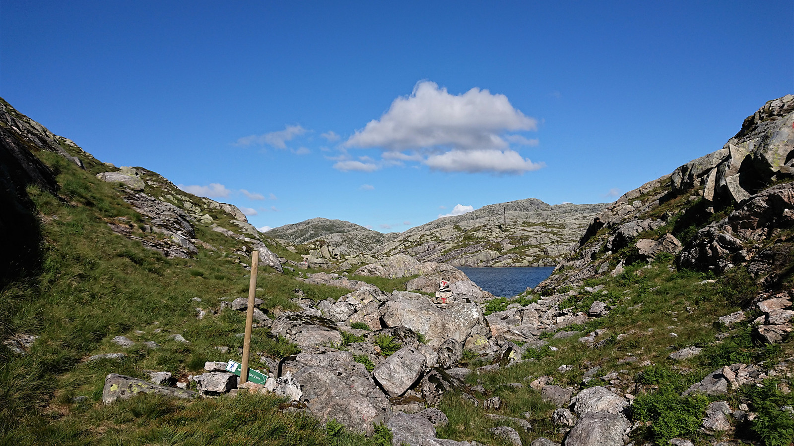
After the usual summit pictures and a short lunch break, I started my descent along the same route as for the ascent, but this time following the marked trail going east around Instebotnsknolten. Also here the trail marking was not the best, at least not all of the time, but within not too long I was back at the point where I had left the trail earlier for my ascent to Instebotnsknolten.
The hike was concluded by following the marked trail down to the bus stop at the main road, with plenty of short stops to pick and eat some of the numerous blueberries found along the way. I still made it to the bus stop with almost half an hour to spare.
In summary, a nice hike that can be highly recommended. I would argue that the most interesting views were not from the summits though, but rather from the hike itself, in particular the first part up to and including Instebotsvatnet. Furthermore, in my opinion Instebotnsknolten can easily be skipped by most hikes without missing a lot, as the views do not differ much from the ones obtained from Sørdalsnuten.
Finally, it should be mentioned that if doing this hike via bus, it is highly recommended to buy a return ticket in advance, as this is the only way you are guaranteed a seat on the bus. Something three of the other hikers at the same bus stop learned the hard way…


| Start date | 30.08.2020 13:50 (UTC+01:00 DST) |
| End date | 30.08.2020 20:43 (UTC+01:00 DST) |
| Total Time | 6h 53min |
| Moving Time | 6h 16min |
| Stopped Time | 0h 36min |
| Overall Average | 3.4km/h |
| Moving Average | 3.8km/h |
| Distance | 23.7km |
| Vertical meters | 1,230m |


User comments