
Botnanuten from Furedalen (29.08.2020)

Written by hbar (Harald Barsnes)

| Start point | Furedalen (375m) |
|---|---|
| Endpoint | Furedalen (374m) |
| Characteristic | Hillwalk |
| Duration | 4h 48min |
| Distance | 17.2km |
| Vertical meters | 969m |
| GPS |
|
| Ascents | Botnanuten (1,024m) | 29.08.2020 |
|---|
Botnanuten from Furedalen
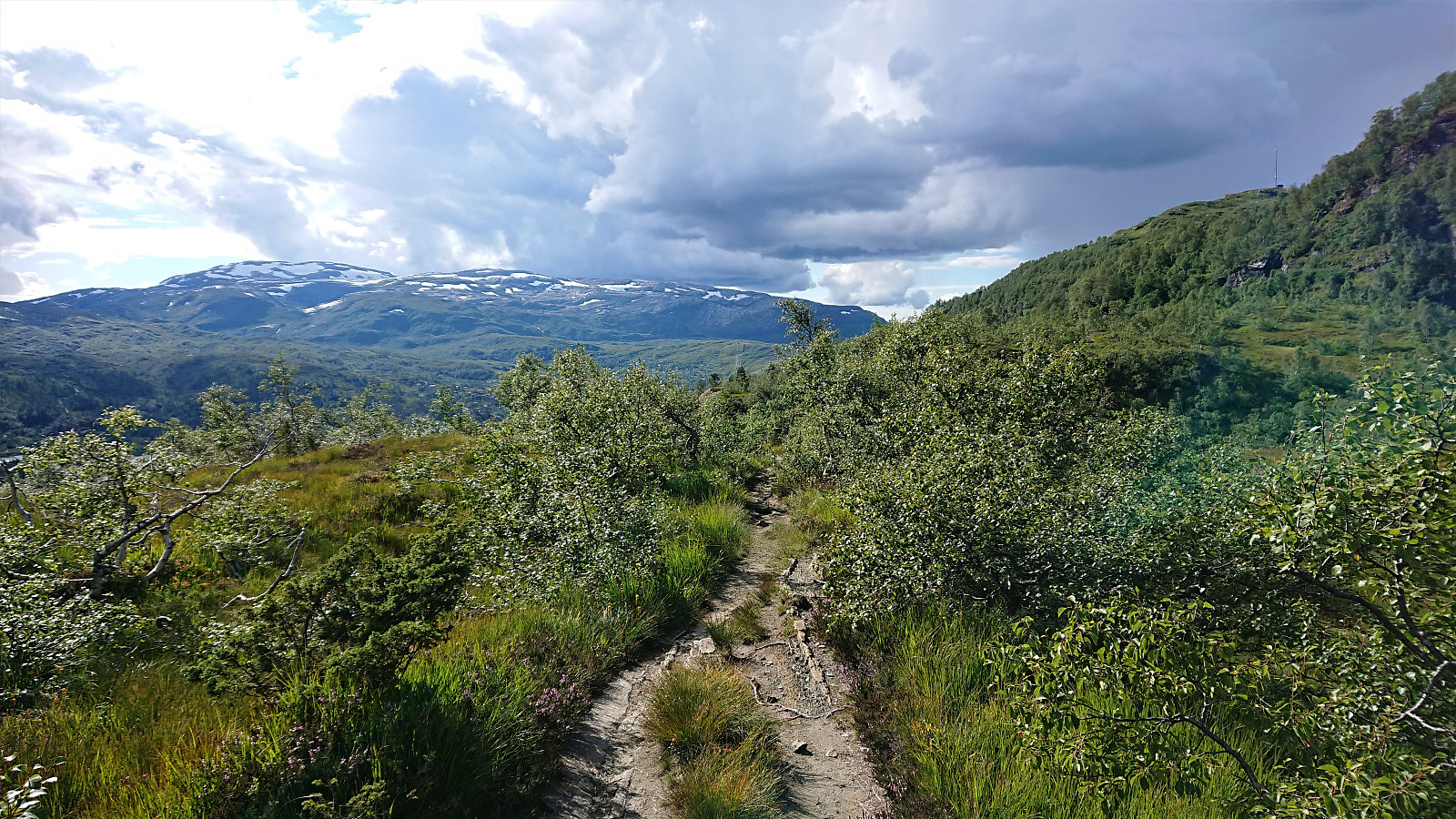
We started from a parking lot next to a cabin my sister and her family were renting for the weekend. After first walking north along the main road for a couple hundred meters, we continued on the gravel road around Kvinnhovden, before taking a wet shortcut to reach Aktiven Skiheis.
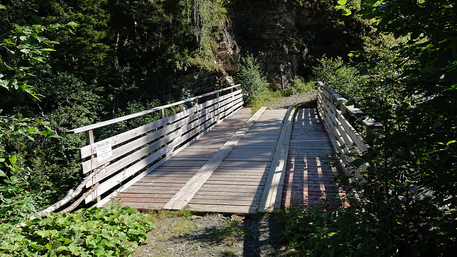
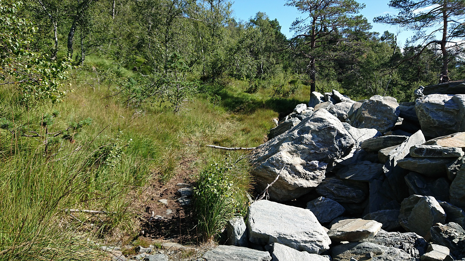
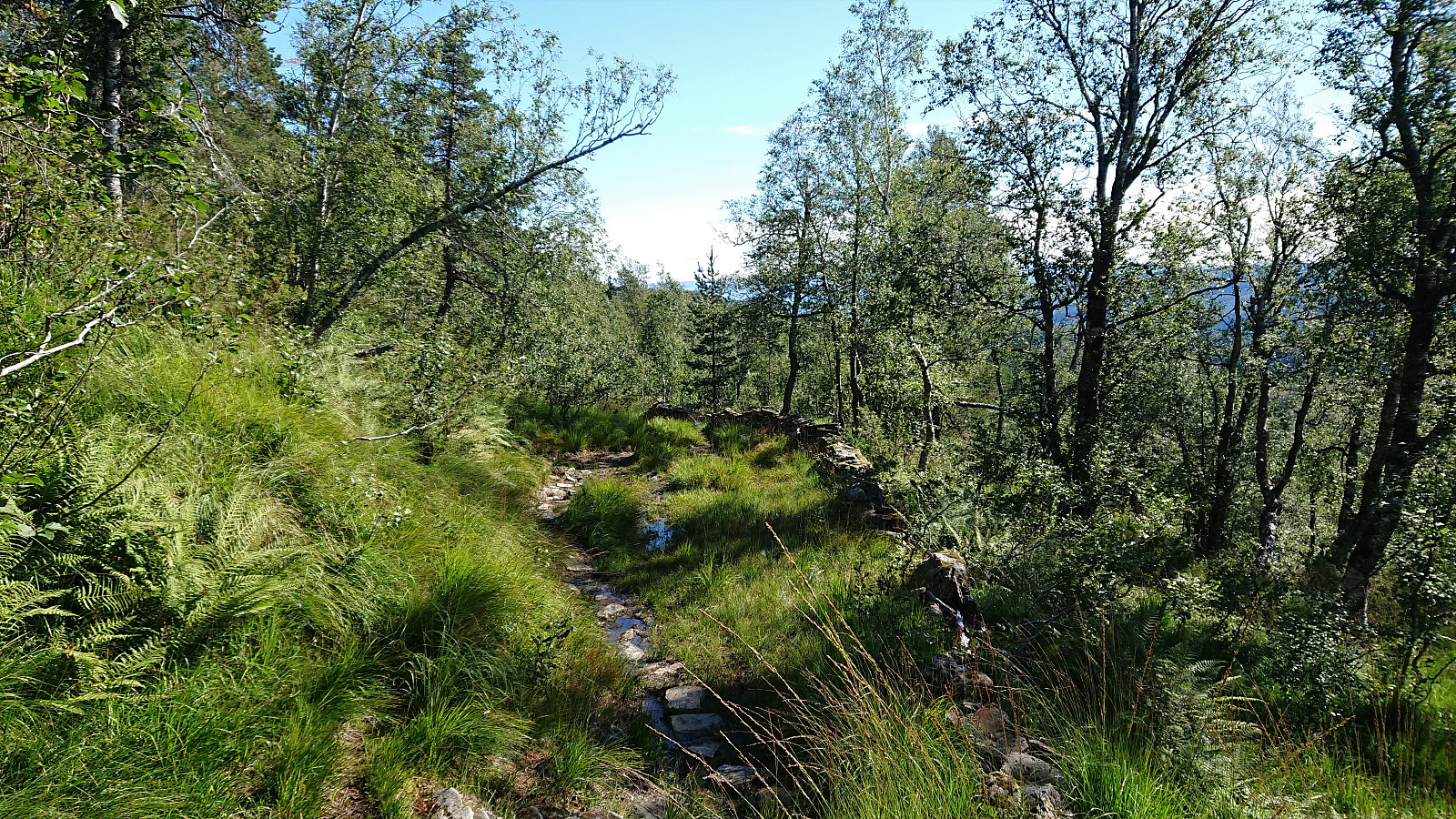
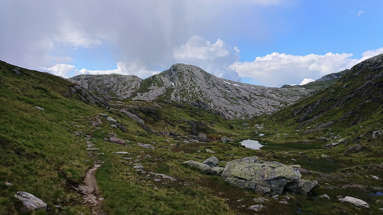
Next, the bridge across Kvennelvi was crossed and after a short stretch on a trail, we followed the gravel road at Øvre Kvernaskogen until it came to an end. Here a weak and wet trail started, that soon connected with the slightly better old trail heading to Byrkjesete. At Byrkjesete, we continued on the unmarked trail up to Storebotnen and up to Sunnvoredalvatnet.
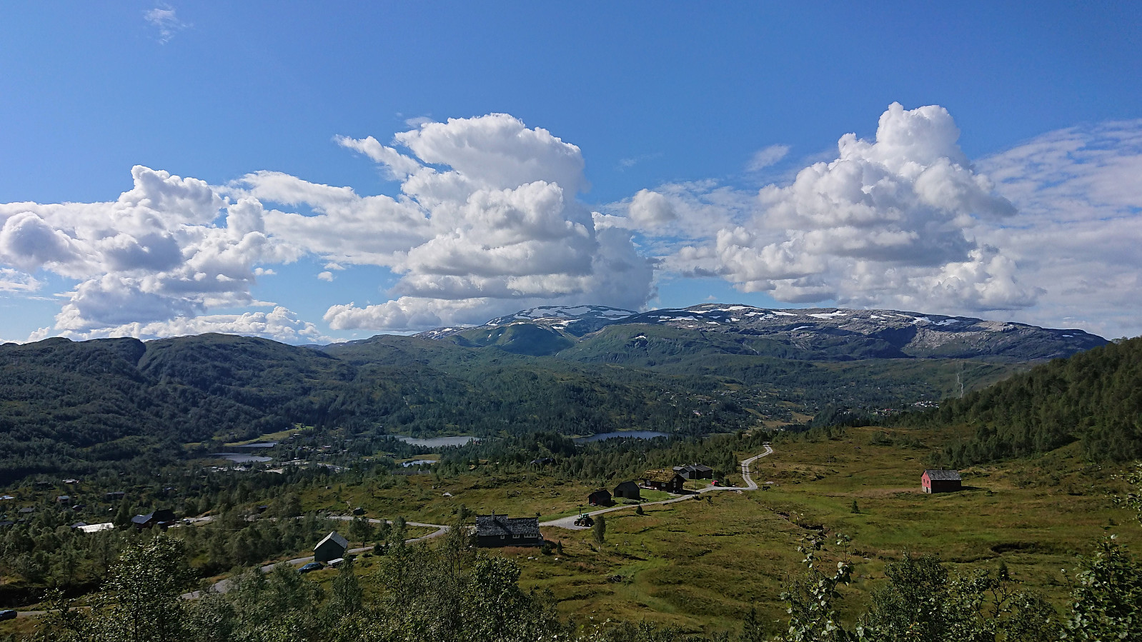
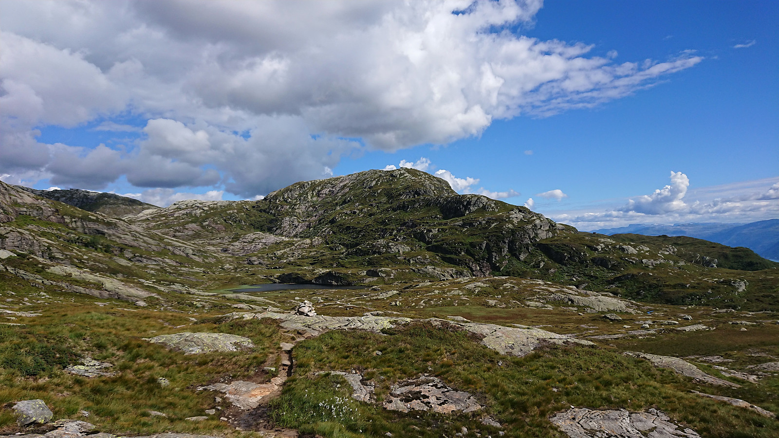
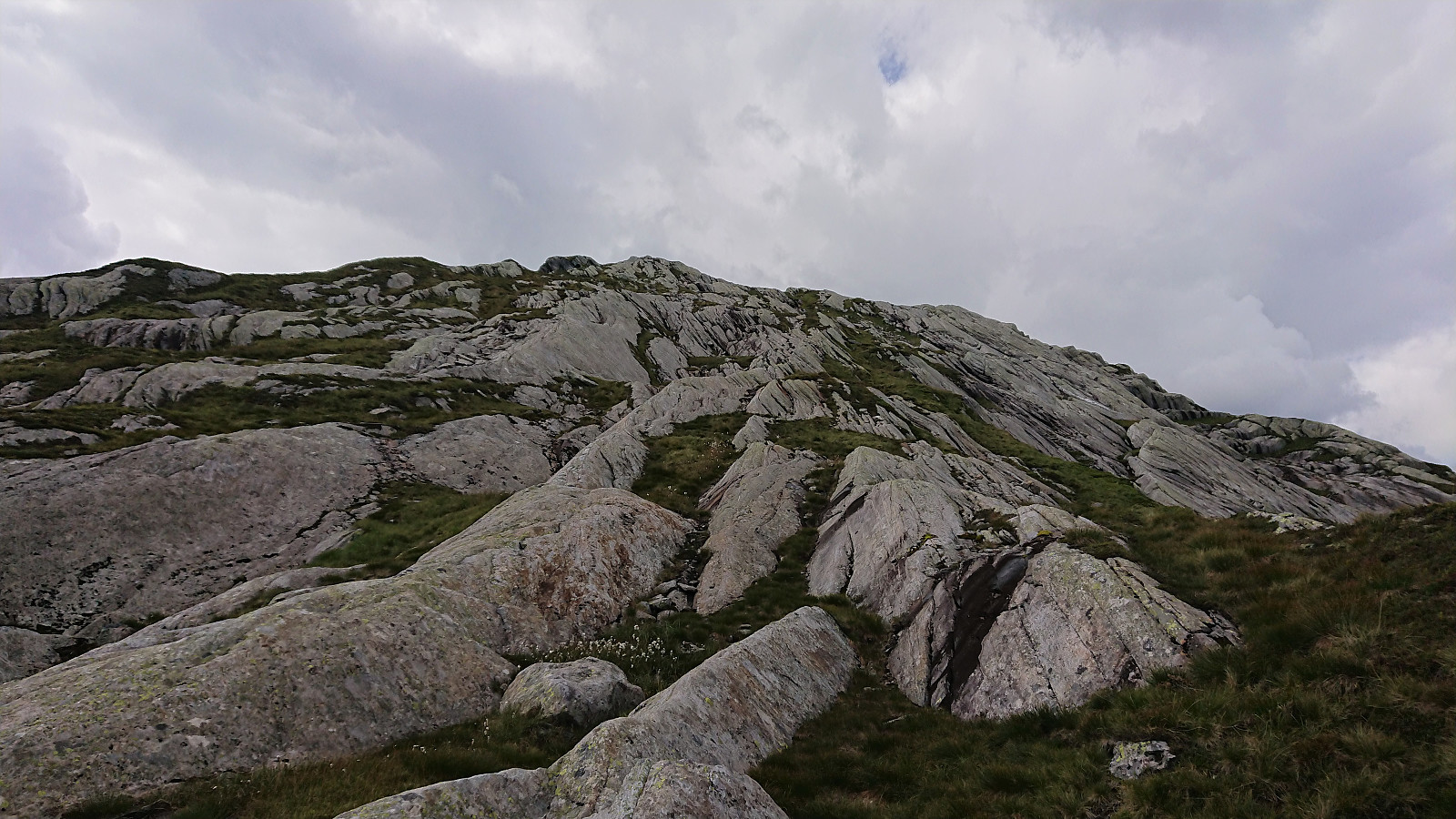
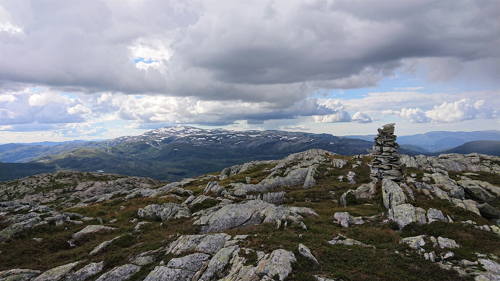
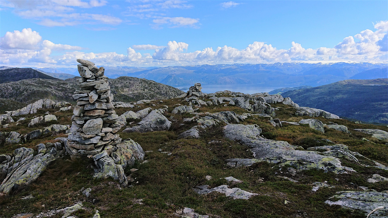
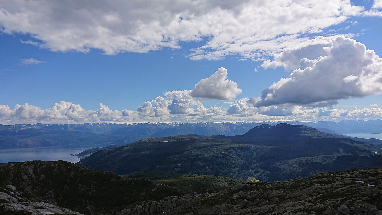
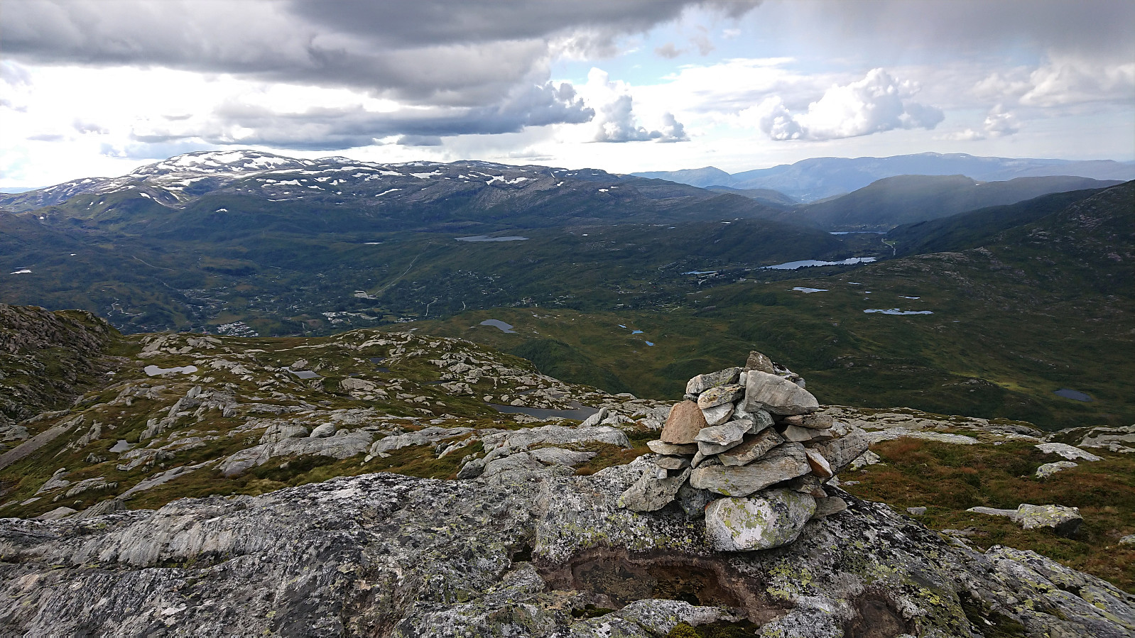
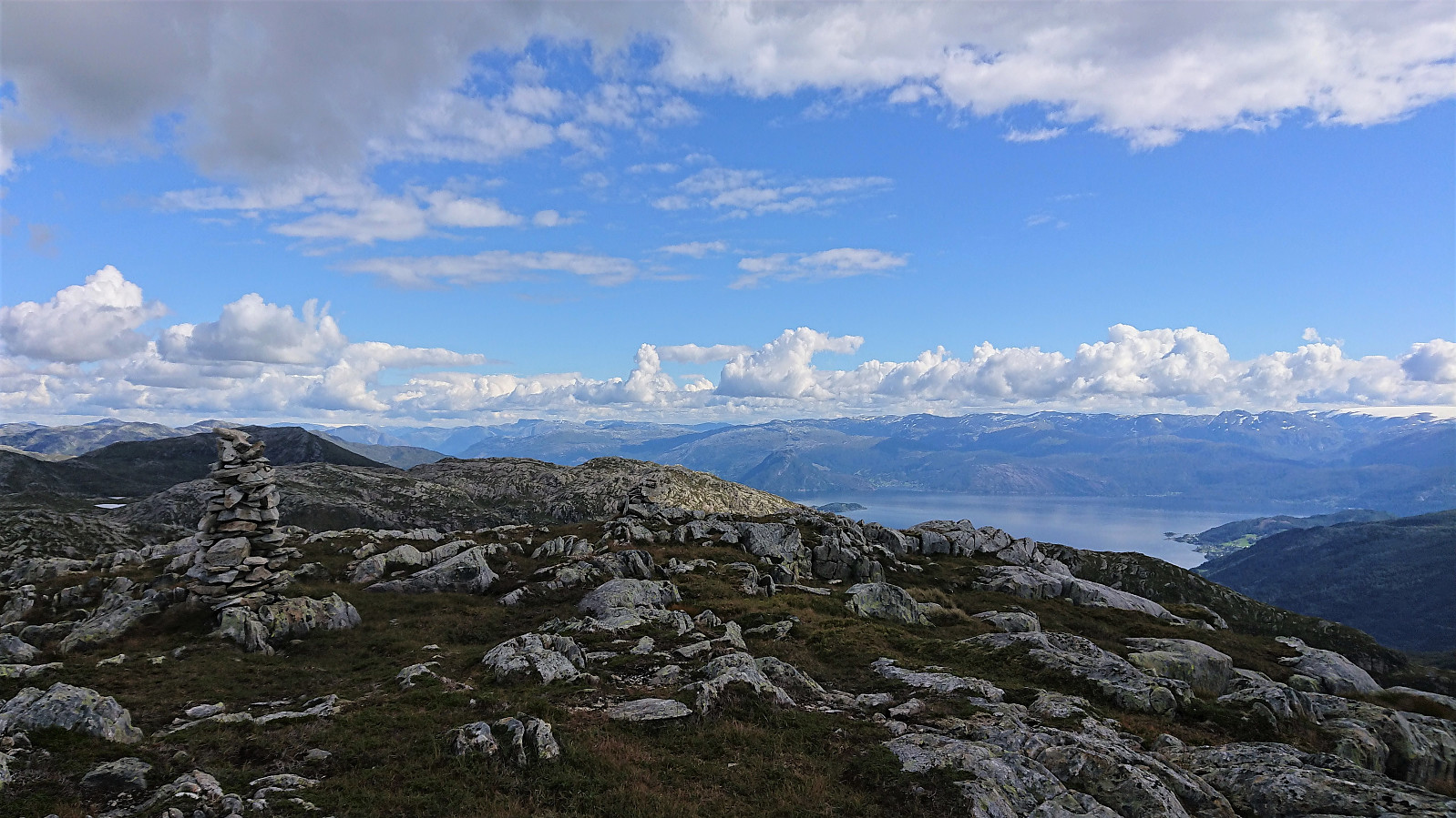
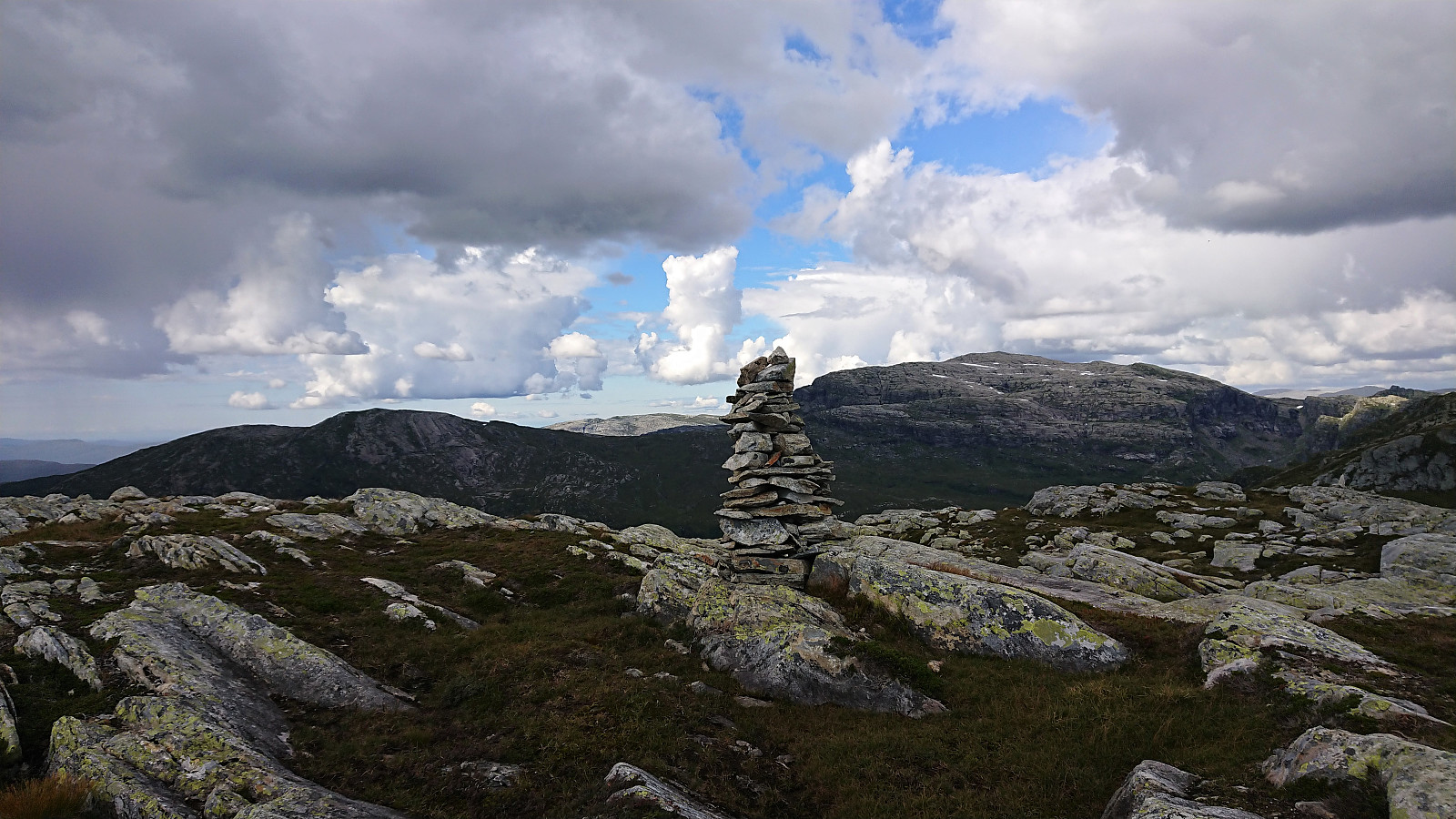
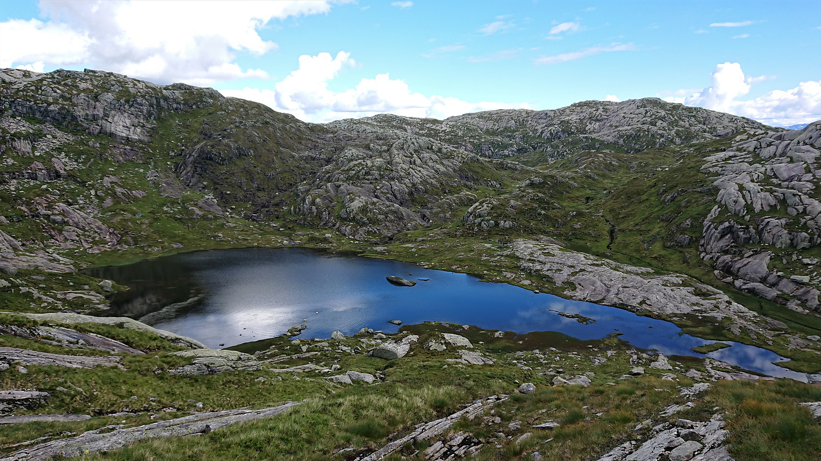
From Sunnvoredalvatnet I continued on my own for a short off-trail detour to the summit of Botnanuten. There were some steep sections to avoid, but overall the ascent was straightforward. It might be slightly more tricky in wet conditions though. The summit provided very nice views, especially towards the south.
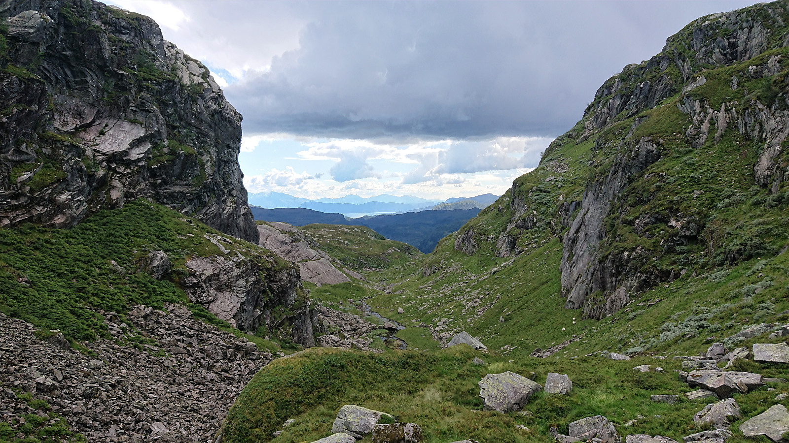
Upon returning to Sunnvoredalvatnet along the same route, we continued east and then followed the narrow valley called Klypet south, and later southwest, to Byrkjesete. The plan had been to also visit Geitafjellet, but due to dinner waiting for us at the cabin in Furedalen, Geitafjellet had to be postponed for another day. From Byrkjesete the hike was concluded by following the same route back to the cabin as for the ascent.
In summary, a nice hike along overall ok trails, and with excellent views along the way, that can definitely be recommended.
| Start date | 29.08.2020 11:42 (UTC+01:00 DST) |
| End date | 29.08.2020 16:31 (UTC+01:00 DST) |
| Total Time | 4h 48min |
| Moving Time | 4h 34min |
| Stopped Time | 0h 14min |
| Overall Average | 3.6km/h |
| Moving Average | 3.8km/h |
| Distance | 17.2km |
| Vertical meters | 968m |


User comments