
Kattøyro from Vigdalstøl (08.08.2020)

Written by hbar (Harald Barsnes)

| Start point | Vigdalstøl (770m) |
|---|---|
| Endpoint | Vigdalstøl (771m) |
| Characteristic | Hillwalk |
| Duration | 3h 34min |
| Distance | 9.3km |
| Vertical meters | 685m |
| GPS |
|
| Ascents | Kattøyro (1,411m) | 08.08.2020 |
|---|---|---|
| Visits of other PBEs | Drivande (855m) | 08.08.2020 |
| Vigdalsstølen bro (771m) | 08.08.2020 | |
| Vigdalstøl (769m) | 08.08.2020 |
Kattøyro from Vigdalstøl
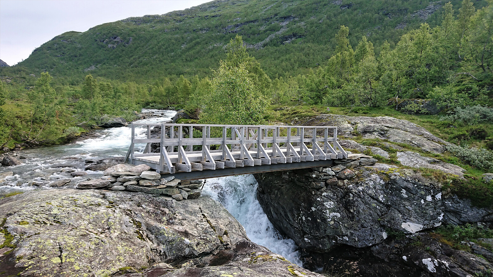

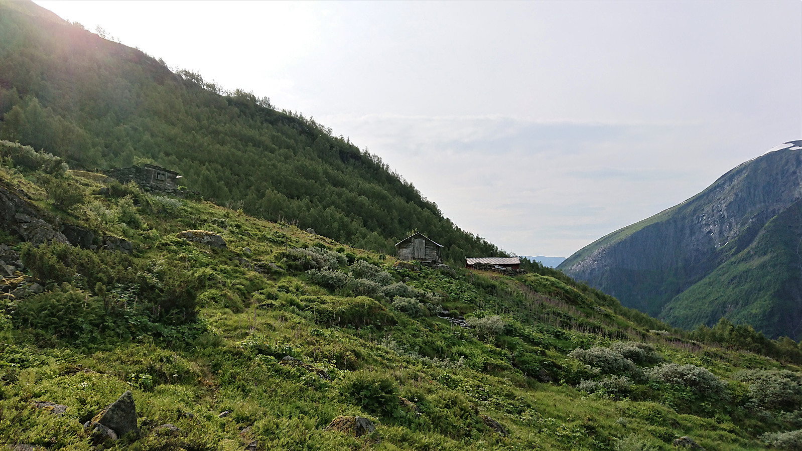
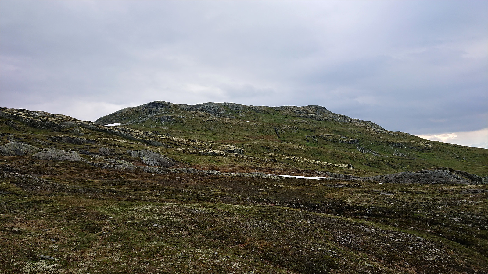
After spending the night at Vigdalstøl, me and my sister first followed the marked trail to Drivande, from where we followed a weaker trail marked with small cairns towards Kattøyro.
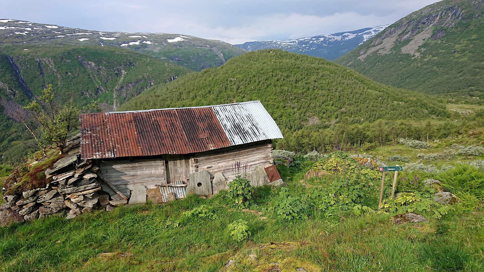
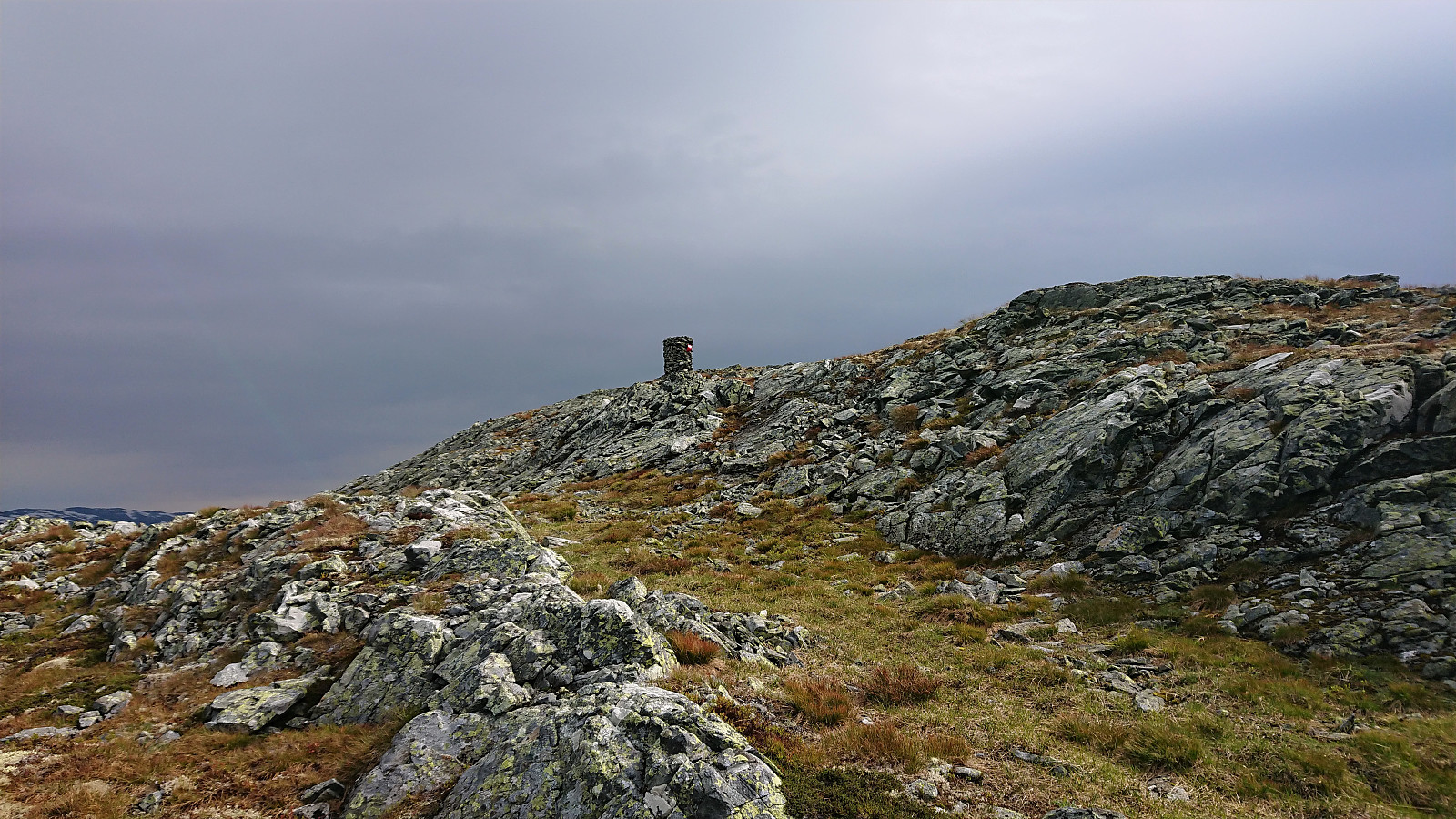
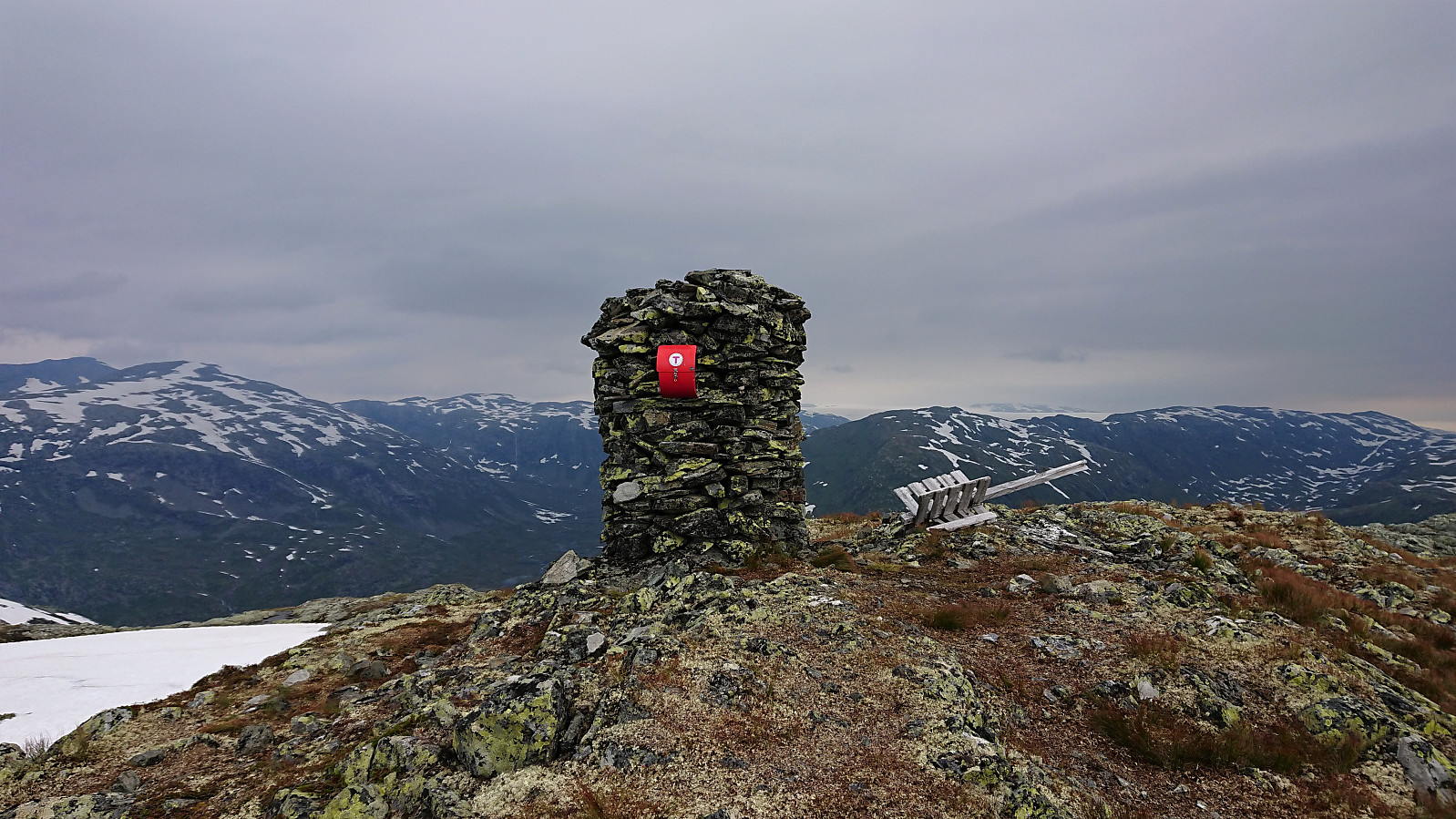
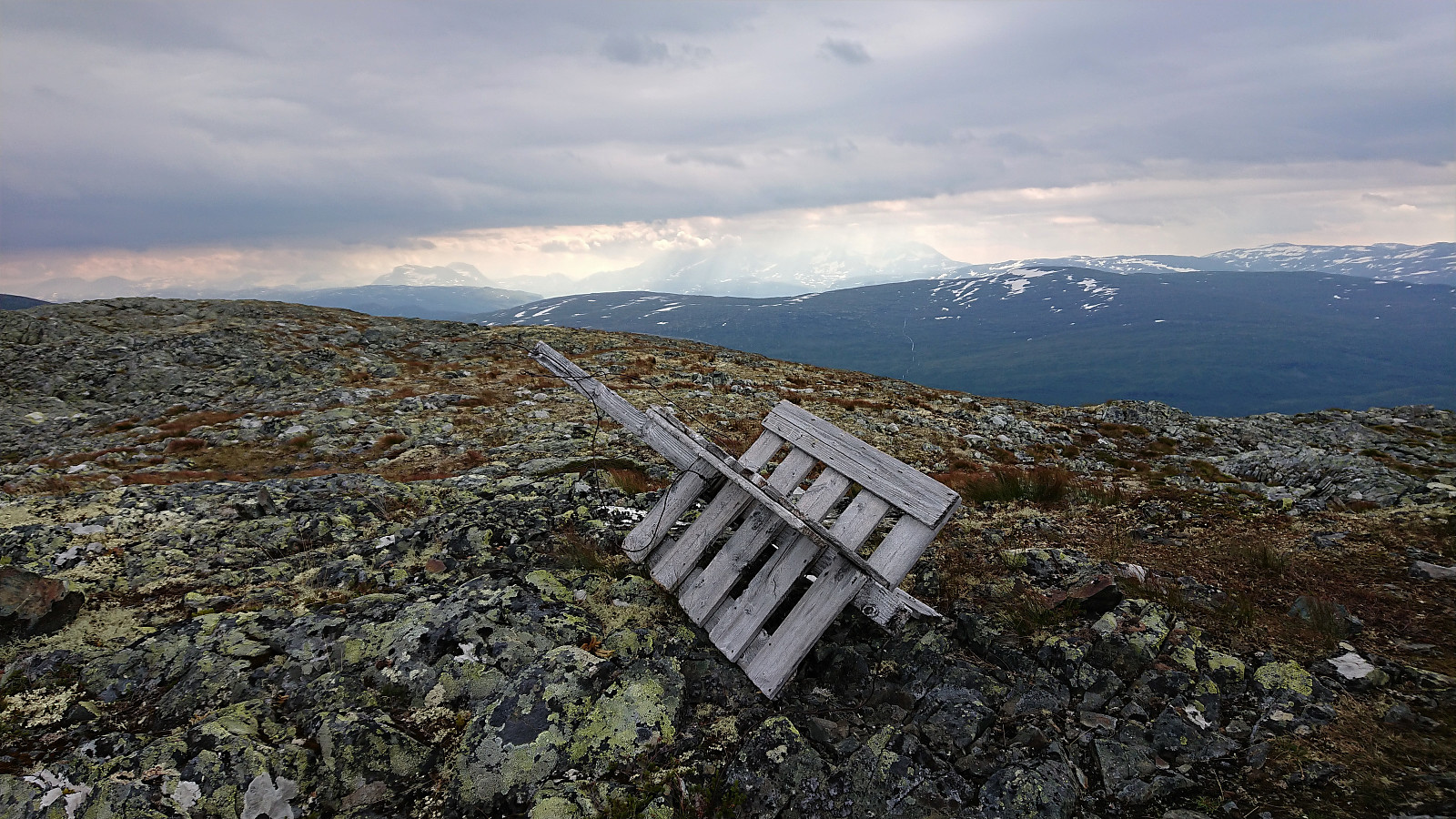
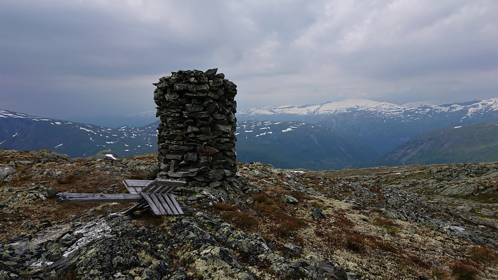
At first the trail was relatively easy to follow, the trailhead was even marked with a sign, but later it pretty much disappeared and we had to find our own way towards the summit. The terrain did not present any real challenges though and the large cairn with a visitor register was easily reached.
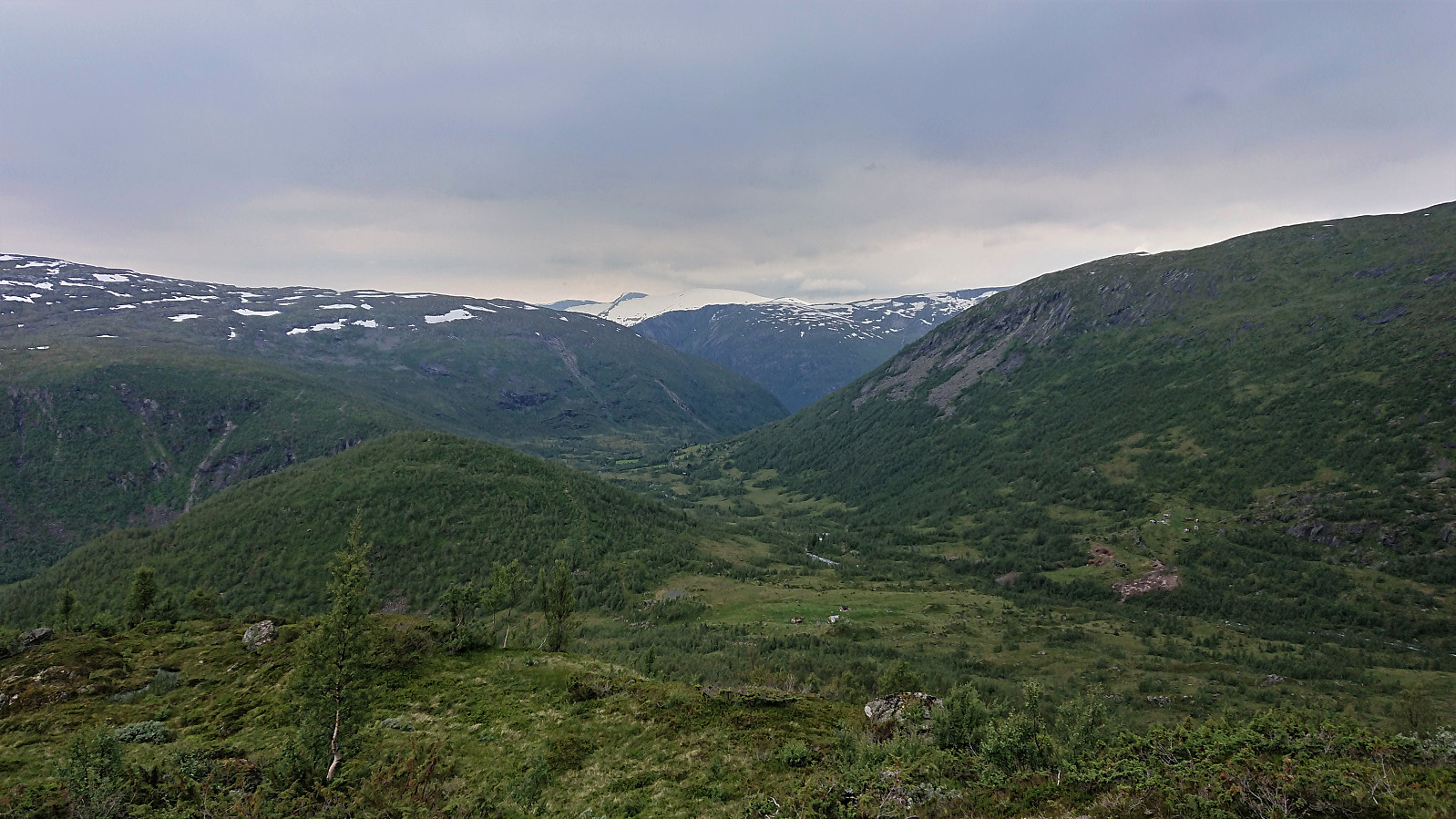
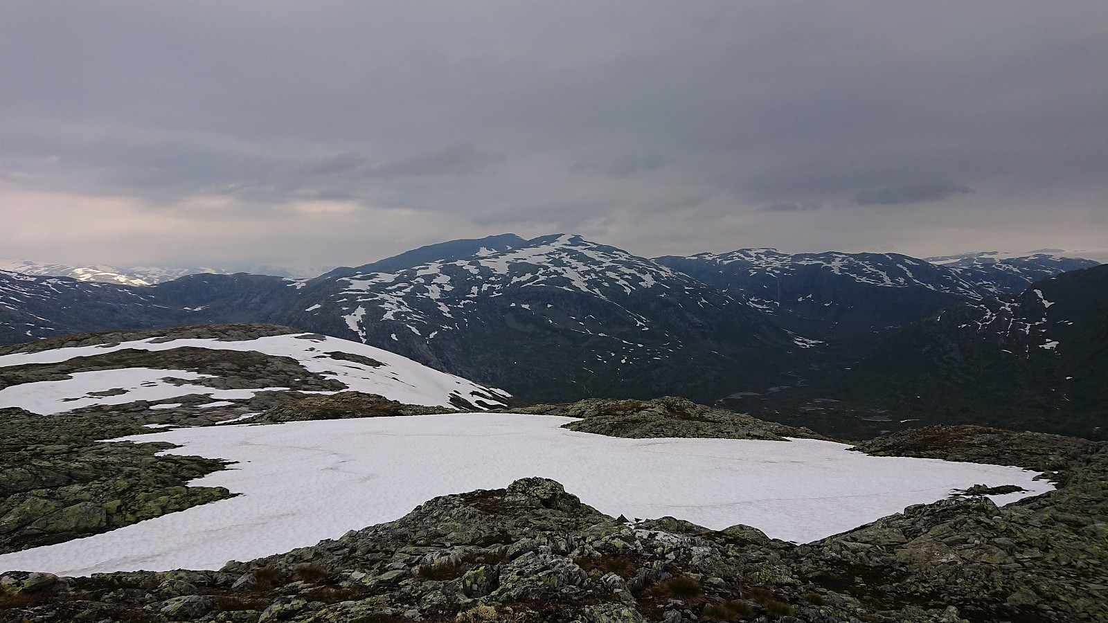
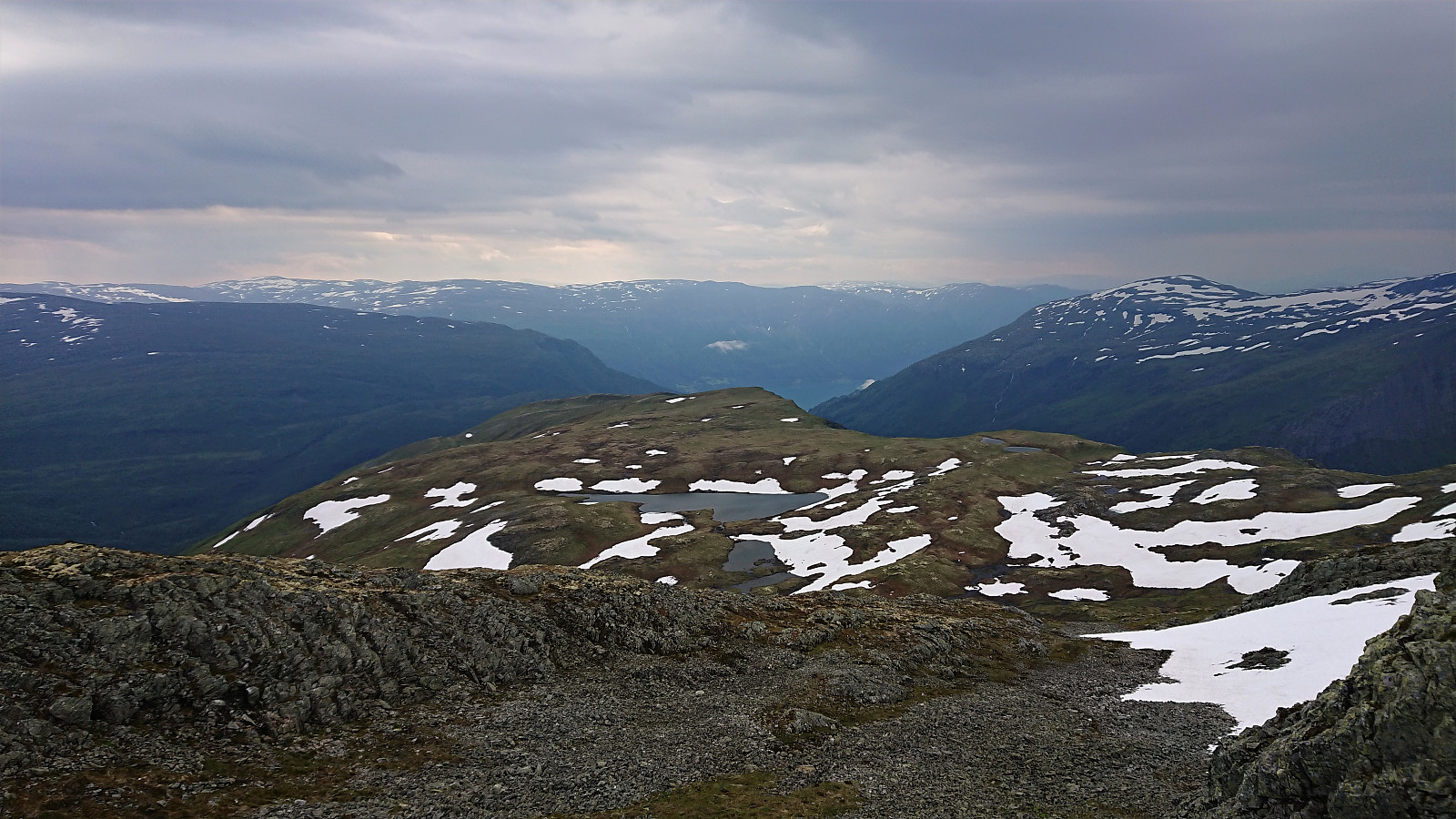
Excellent views from the summit, although the views were a bit limited by the gray weather, especially in the direction of Hurrungane. For the descent we followed more or less the same route, the only difference being that the nice weather we had enjoyed for most of the ascent soon was replaced by rain and low-hanging clouds.
Overall a very nice hike that can be highly recommended.


| Start date | 08.08.2020 08:49 (UTC+01:00 DST) |
| End date | 08.08.2020 12:23 (UTC+01:00 DST) |
| Total Time | 3h 34min |
| Moving Time | 3h 19min |
| Stopped Time | 0h 15min |
| Overall Average | 2.6km/h |
| Moving Average | 2.8km/h |
| Distance | 9.3km |
| Vertical meters | 685m |


User comments