
Bergen: Jubileumsstien (Stage 7 and 8) (18.07.2020)

Written by hbar (Harald Barsnes)

| Start point | Myrdalsvegen (114m) |
|---|---|
| Endpoint | Tellevik kai (1m) |
| Characteristic | Hillwalk |
| Duration | 2h 58min |
| Distance | 12.0km |
| Vertical meters | 618m |
| GPS |
|
| Ascents | Ulsetvarden (288m) | 18.07.2020 |
|---|
Bergen: Jubileumsstien (Stage 7 and 8)
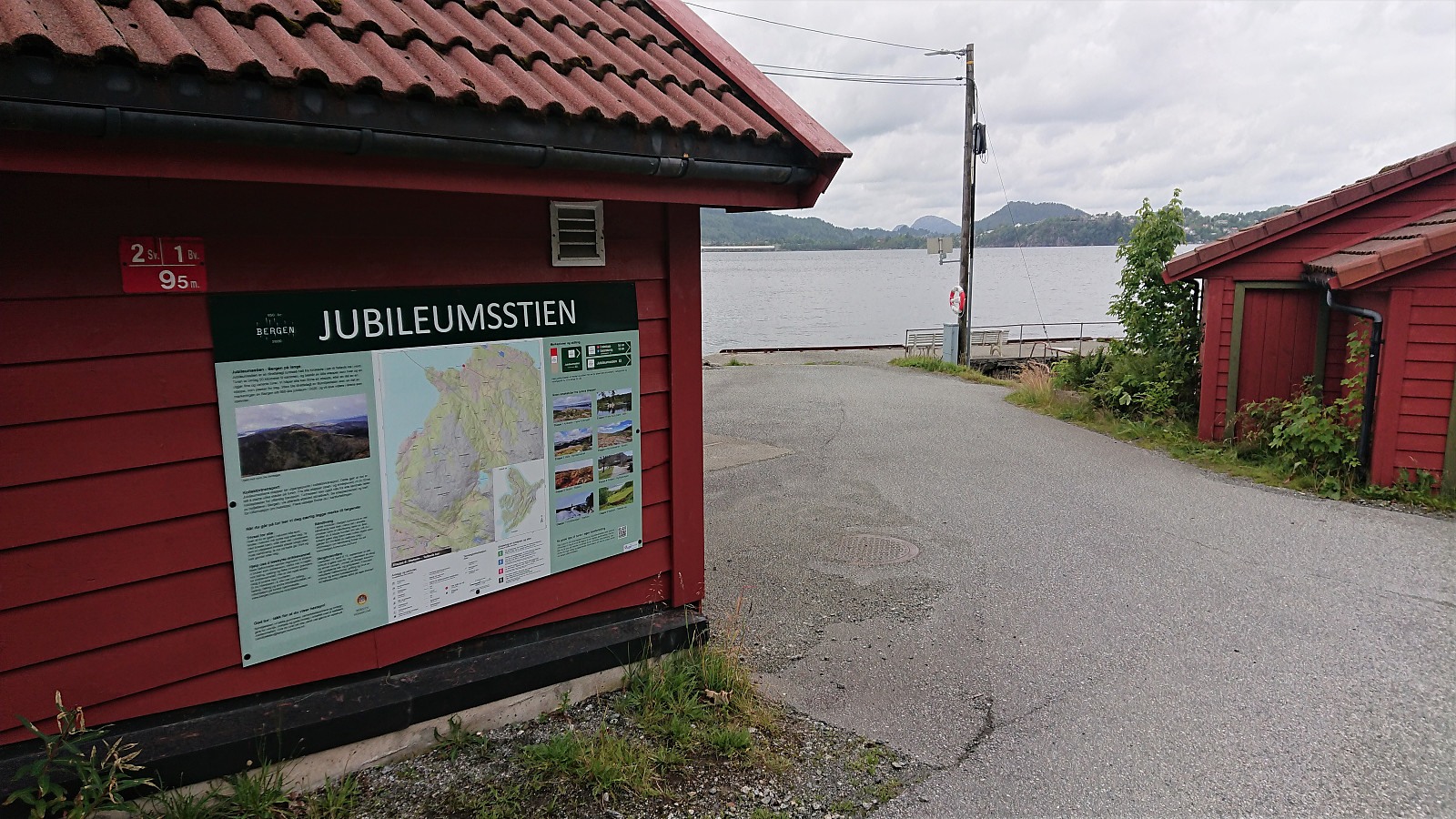
Jubileumsstien
Jubileumsstien is a new trail (or mainly a combination of existing trails) that makes it possible to hike across Bergen, from Krokeide in the south to Tellevik in the north, a total distance of about 55 km. This hike includes Stage 7 and 8, the two final stages, from Myrdalsvegen to Tellevik kai. See my reports for the previous stages here: Stage 1 and 2, Stage 3 and 4, and Stage 5 and 6.
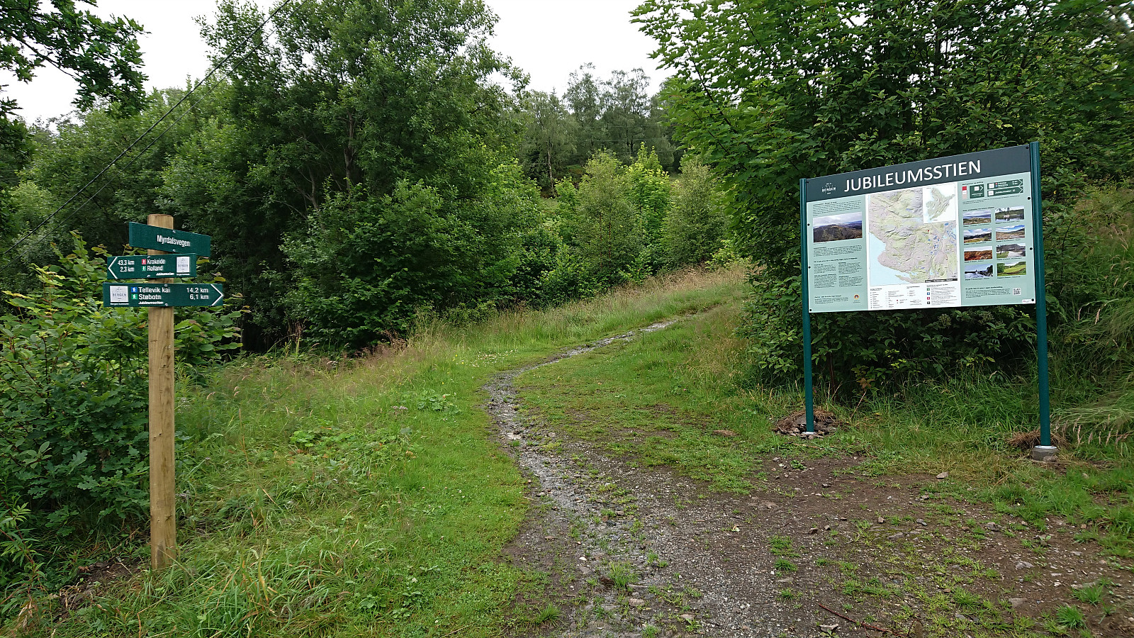
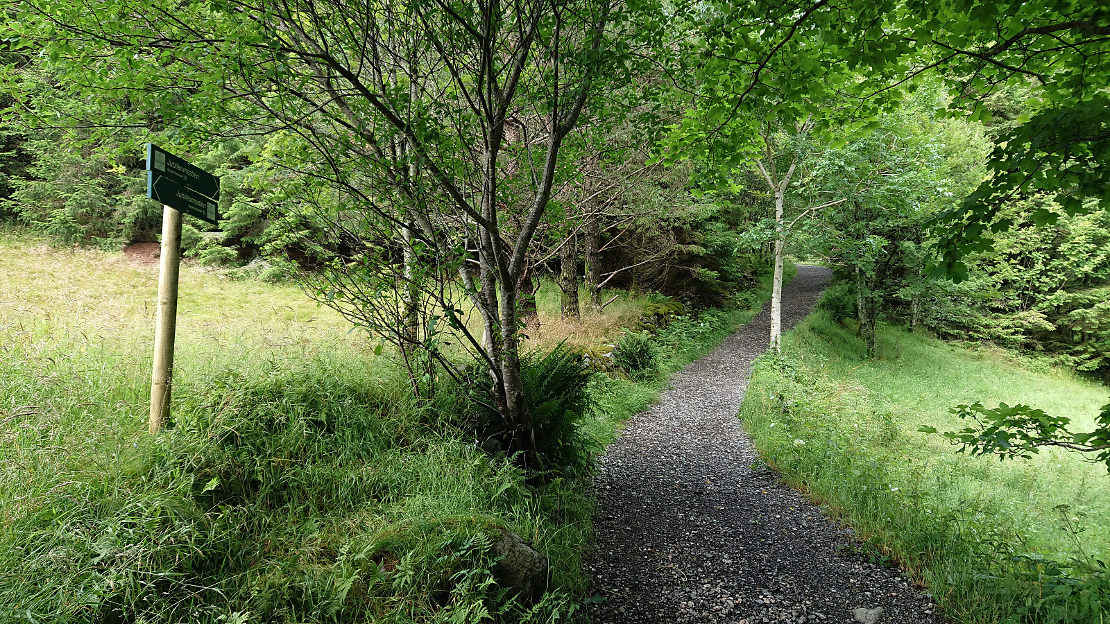
Stage 7: Myrdalsvegen to Støbotn
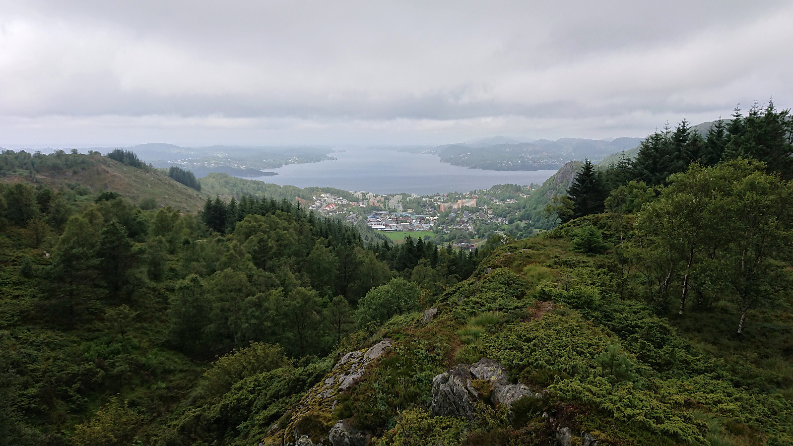
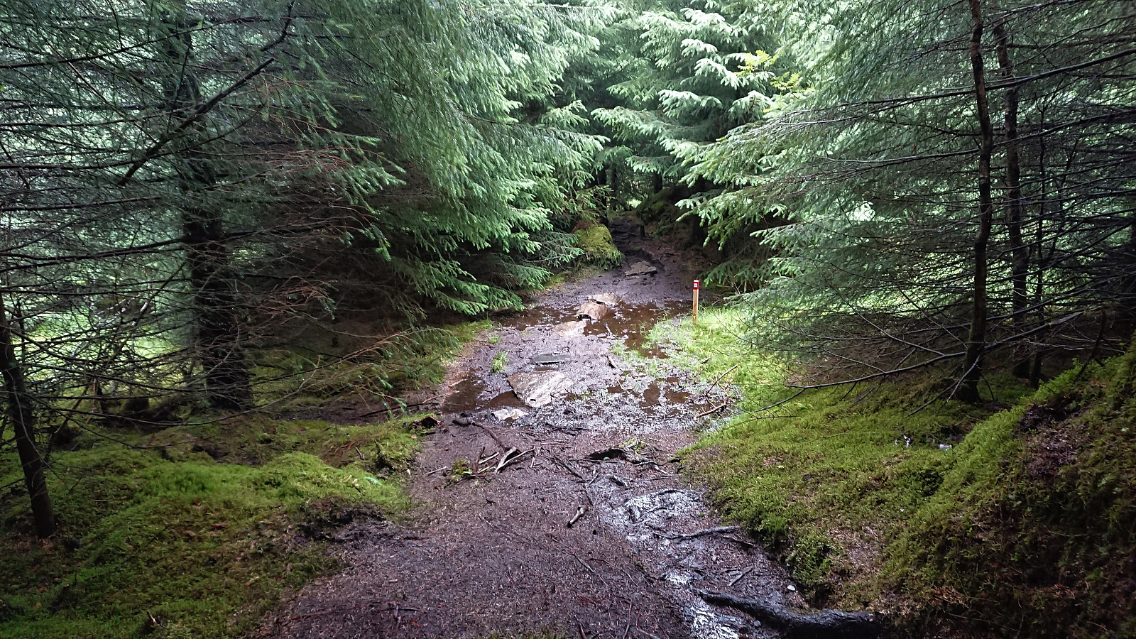
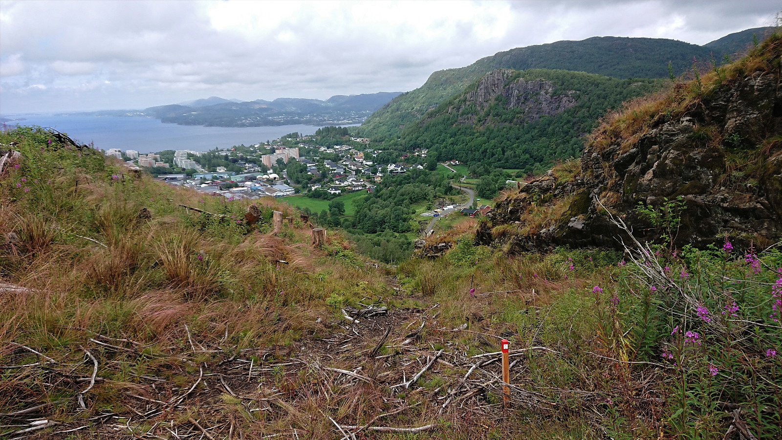
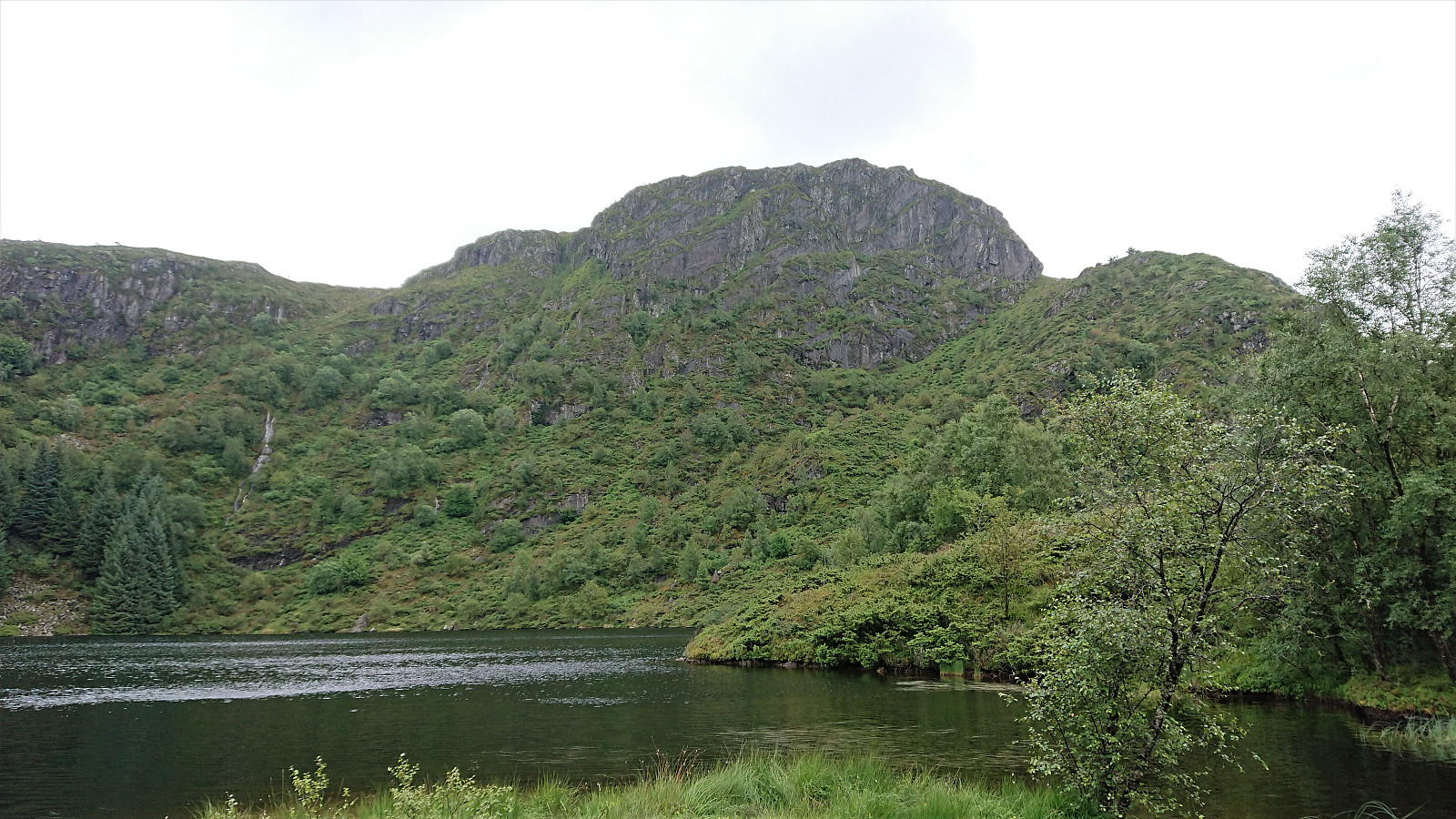
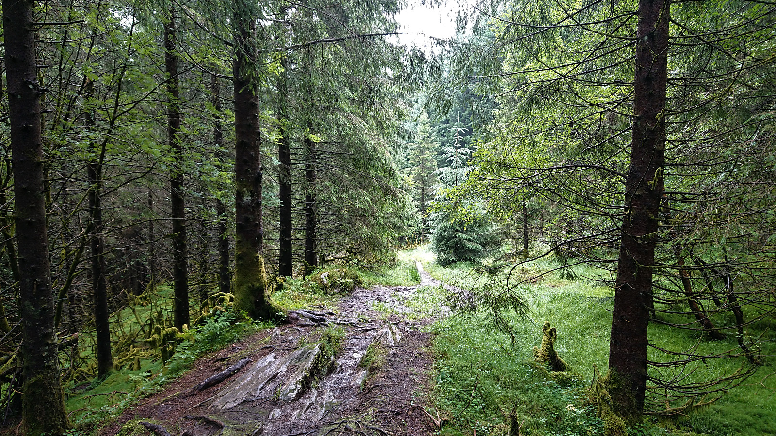
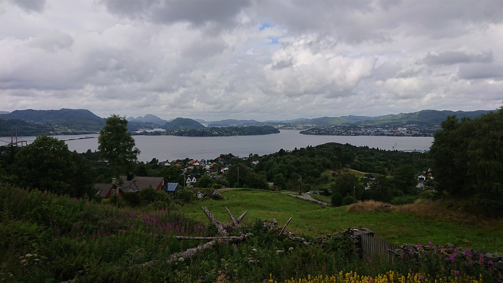
From the marked trailhead at Myrdalsvegen the trail winded its way up towards Ulsetvarden, making several odd turns along the way. Thankfully all of them were clearly marked, as the trail itself was rather weak at the start. It also turned relatively muddy before reaching the summit. Ulsetvarden provided nice views back towards Åsane and also northwest in the direction of Toppe.
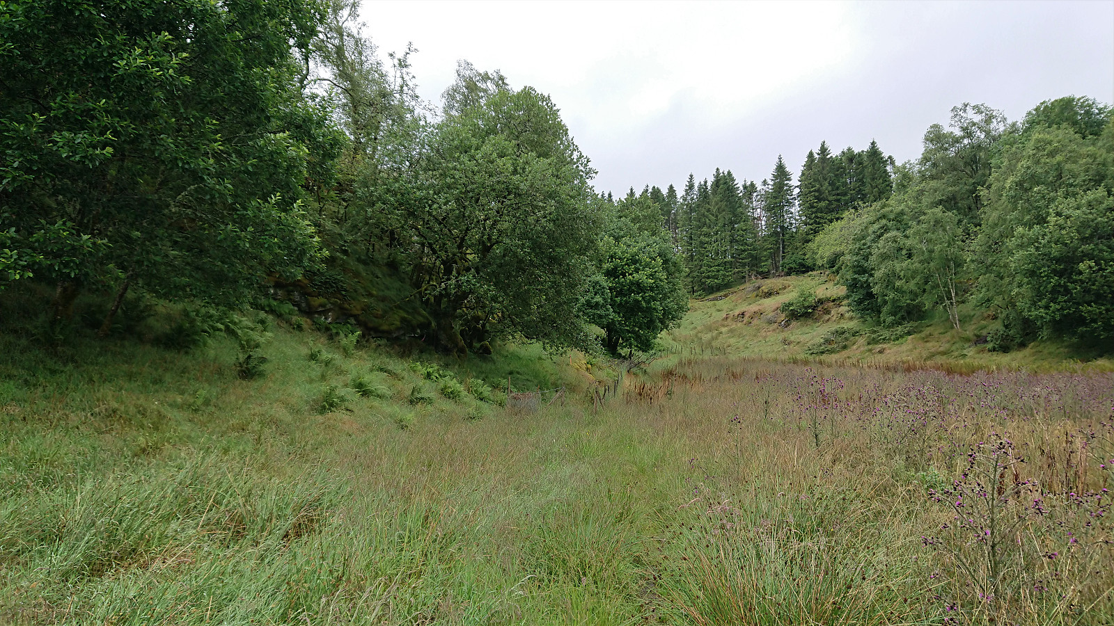
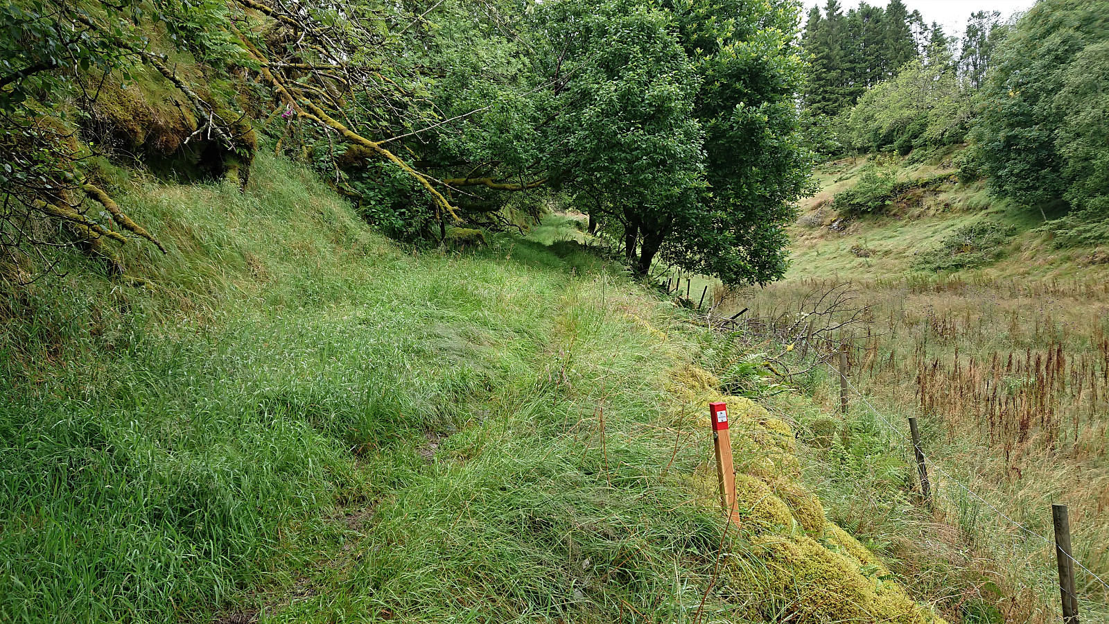
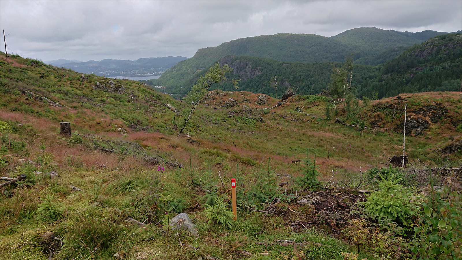
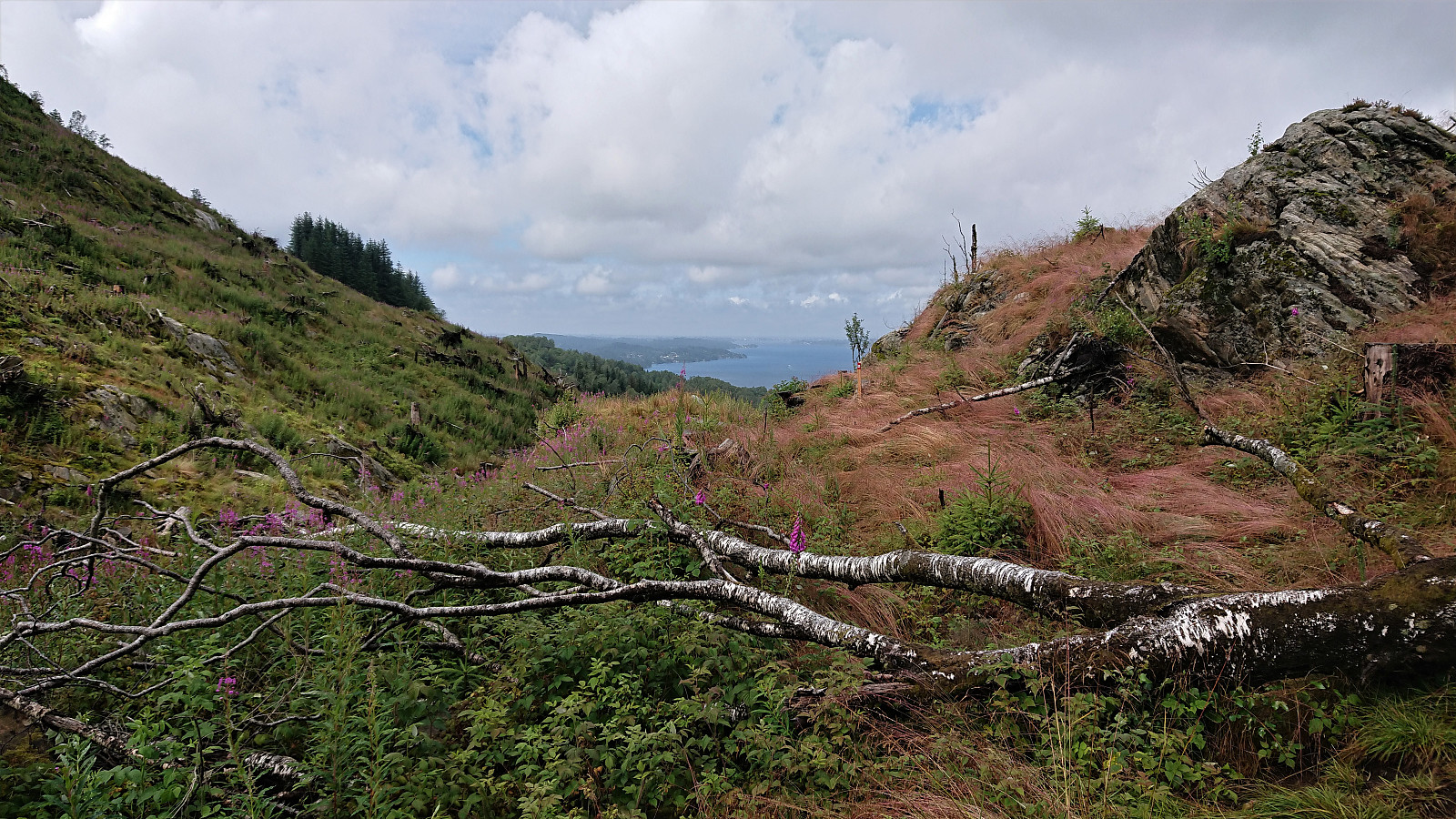
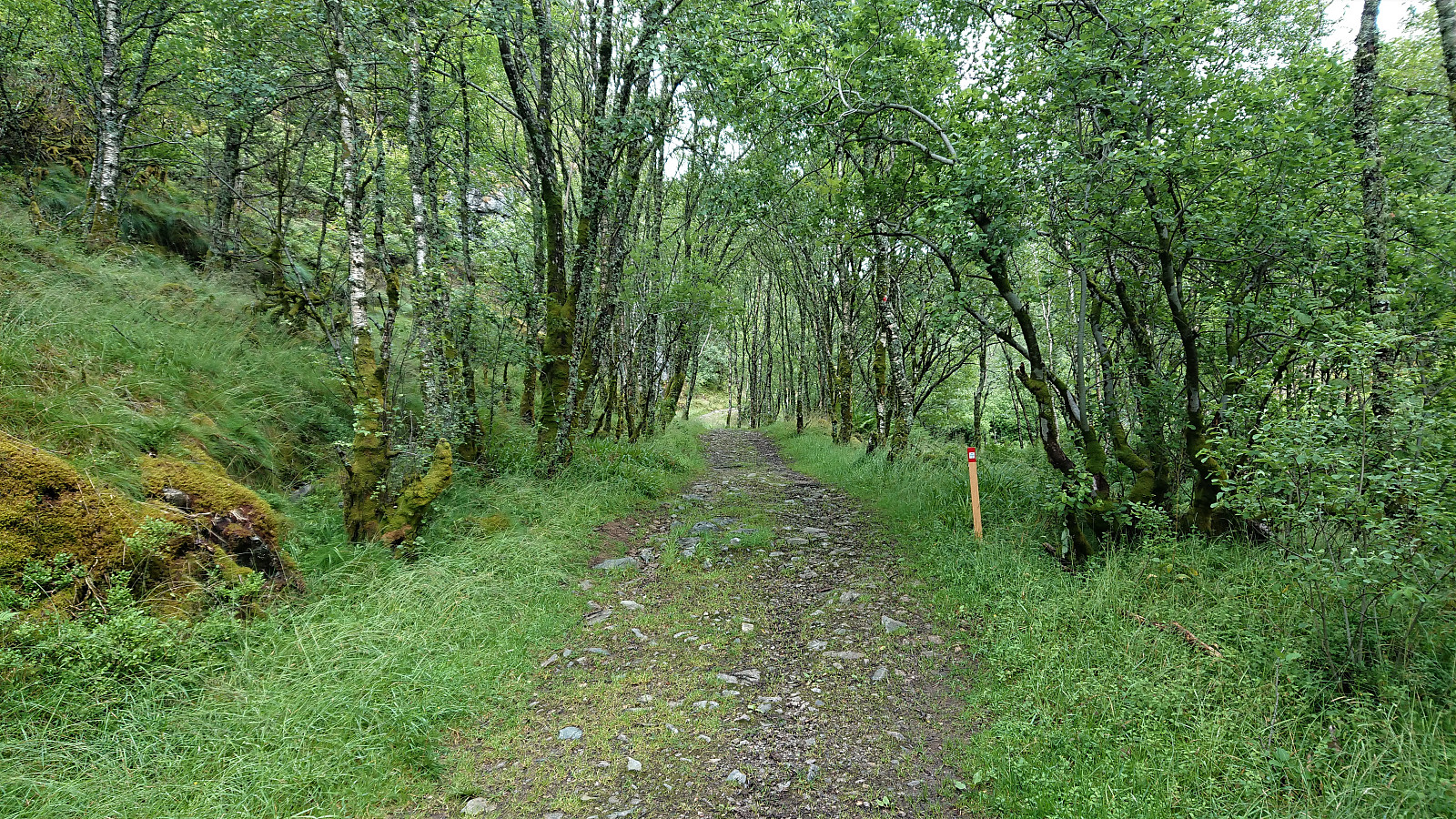
The trail northwest from Ulsetvarden to the main trail to Geitanuken was generally wet and muddy as it found its way in between all the trees. From there on the trail was slightly better, before Jubileumsstien suddenly took a hard-right turn and more or less disappeared on its way down to Søre Toppe. There were markers to follow, but of the trail there were only limited traces to be found.
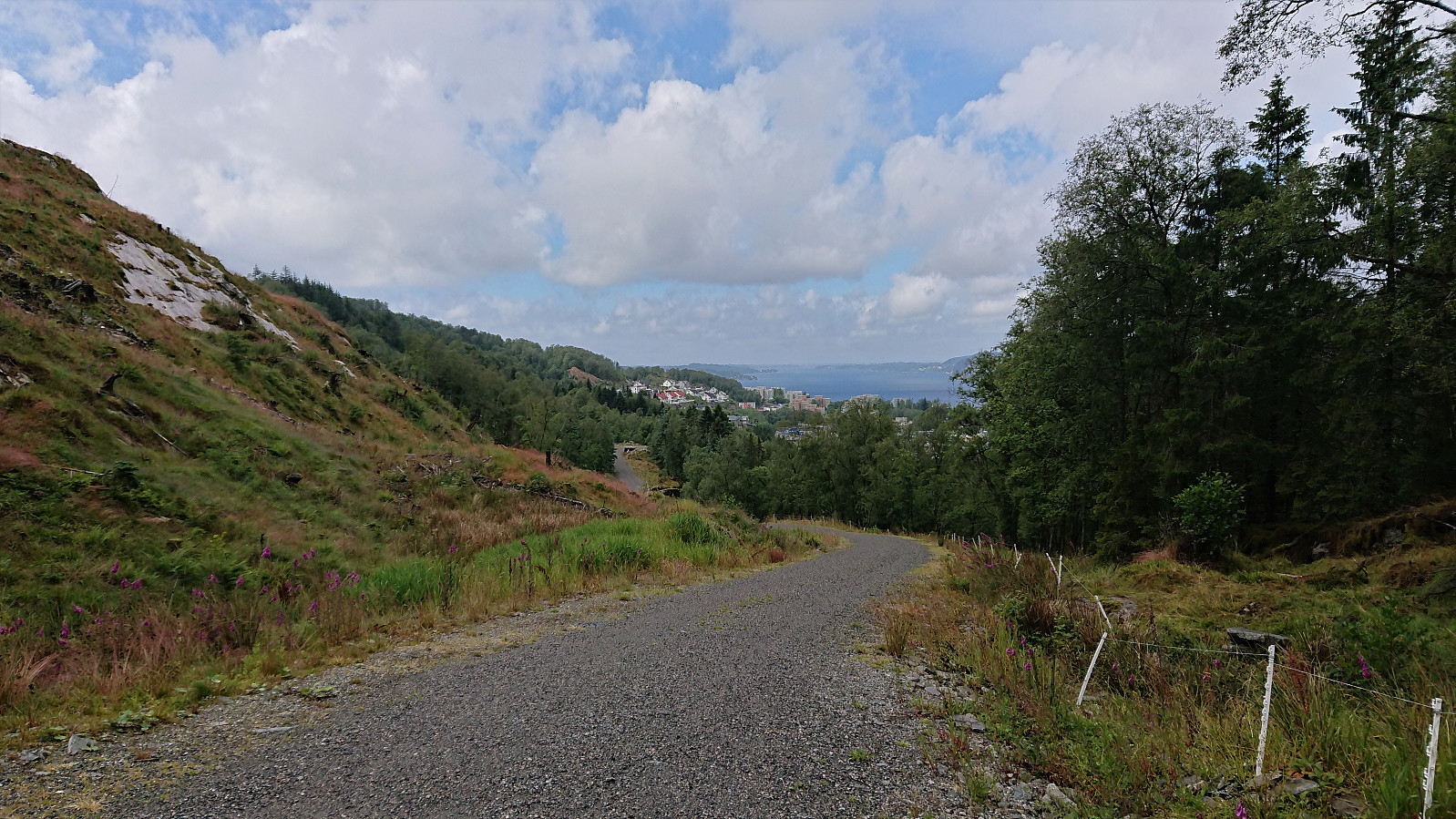
This however only lasted for a short period, as the trail soon connected with a gravel road that took me all the way to Søre Toppe, from where the paved roads were followed to Støbotn and the end of Stage 7. Note that it is recommended to stay on the south side, i.e. the right-hand side, when going through the tunnel to the bus top at Støbotn, as this removes the need to cross the main road twice.
In total, I used just less than 1.5 hours on Stage 7, most of which I had already done on previous hikes. The exception being the shortcut down to Søre Toppe. Overall, it was perhaps not the most interesting stage, and with plenty of wet and muddy trails, but there were also some nice views along the way.
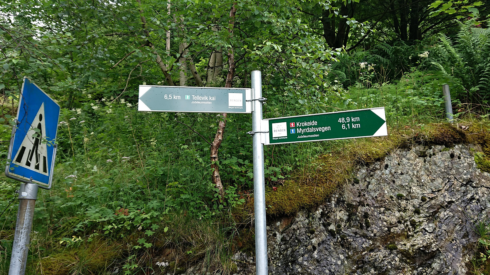
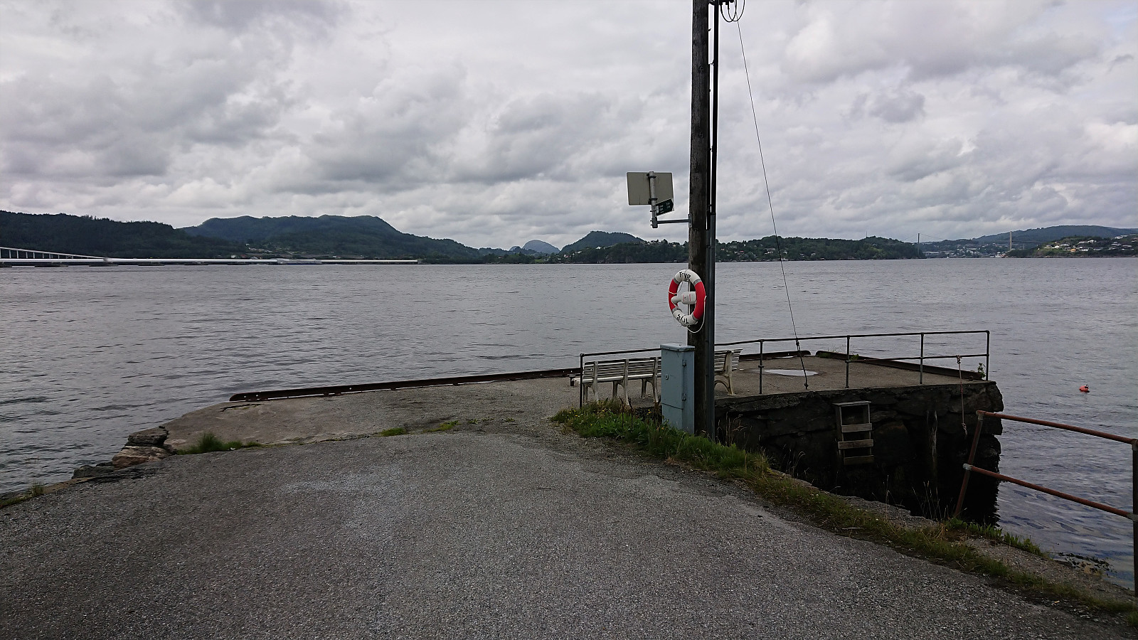
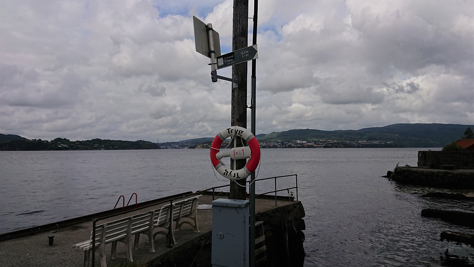
Stage 8: Støbotn to Tellevik kai
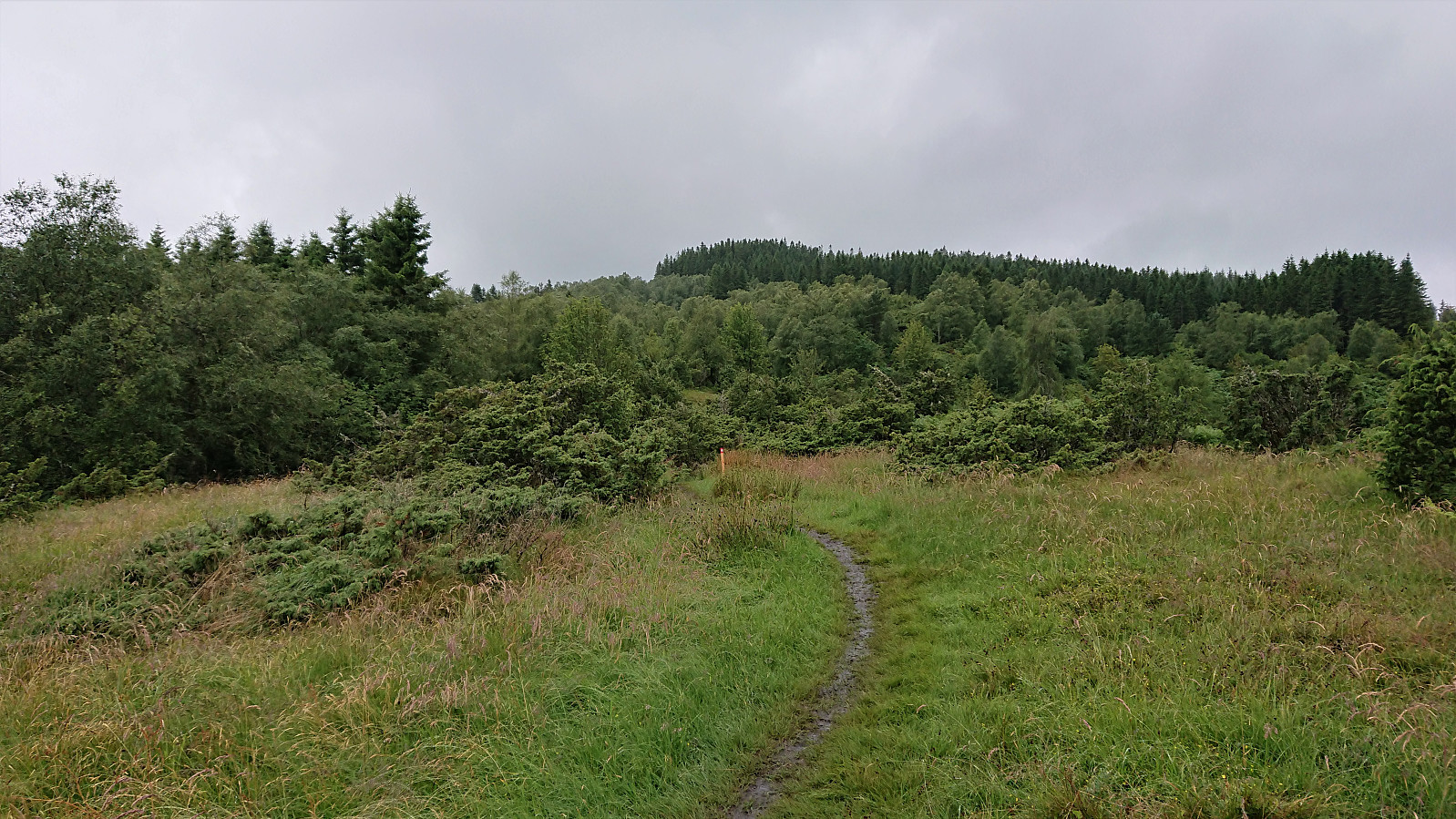
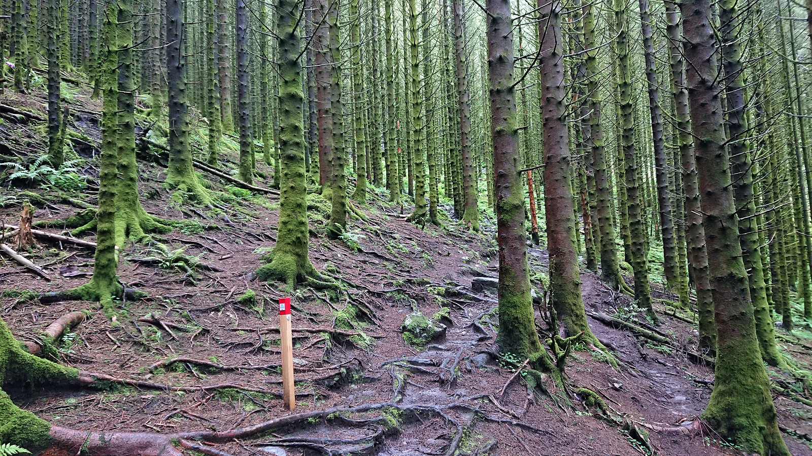
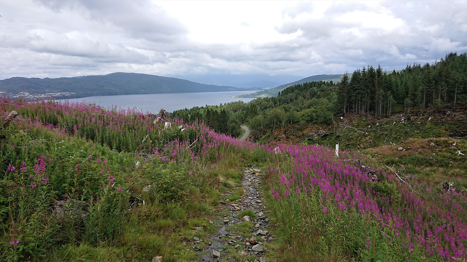
I directly continued on the eighth and final stage to Tellevik kai, which started by crossing the main road and following a small sideroad to Baugtveitvegen, thus avoiding having to walk along the main road. Next, Baugtveitvegen was followed up to Baugtveit, from where a nice gravel road took me up to Baugtveitstemma. Here the trail again turned a bit muddy, but not too bad, and the ascent in between the many trees was actually quite nice.
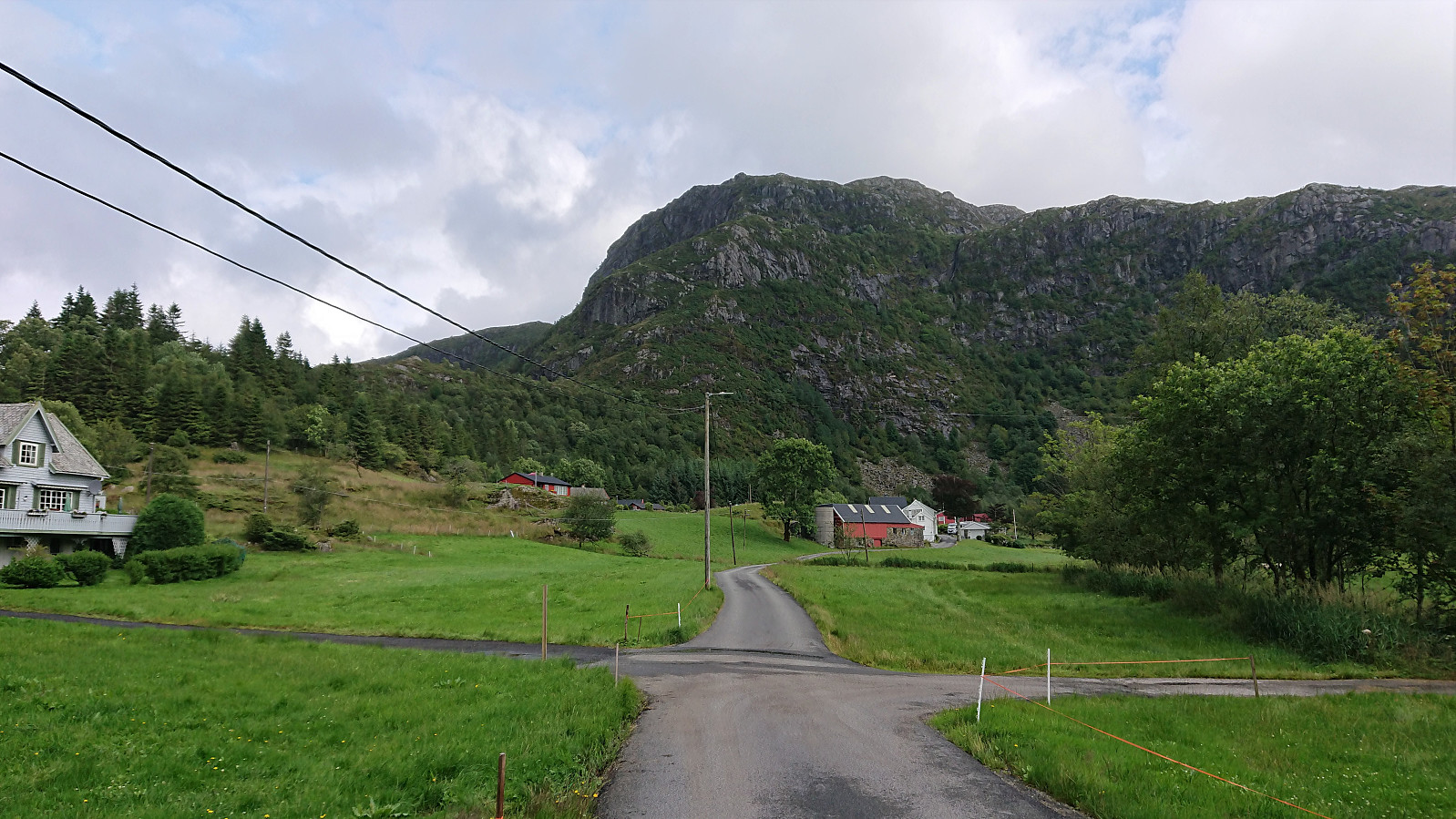
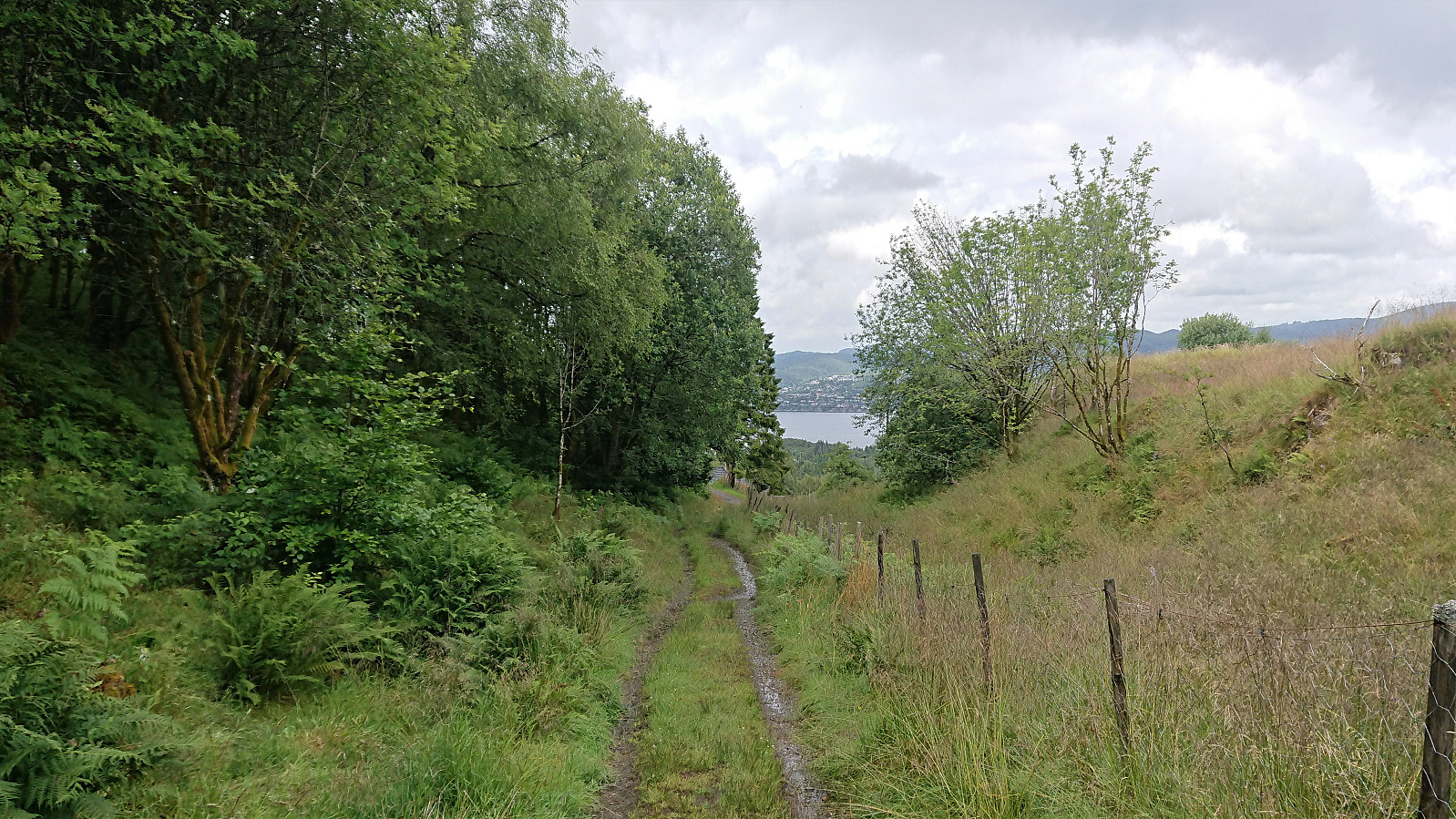
At the top of the pass, the trail descended towards Sætre. Again with varying quality, and its share of muddy sections, however towards the end it almost turned into a tractor road. At Sætre, the gravel road was followed to Falkangervegen P-plass, where the trail did not follow the new gravel road east, but rather took a shortcut northeast. And upon reconnecting with the gravel road, it soon left it again for another shortcut along Den Trondhjemske Postvei to finally connect with Falkangervegen. The paved roads were then followed all the way down to Tellevik kai and the end of Jubileumsstien.
In total, Stage 8 also took about 1.5 hours, and while the views along the way were overall perhaps not the most exciting, the stage was generally more enjoyable than expected. But it could also be that my expectations had been lowered by the previous stages.
Conclusion
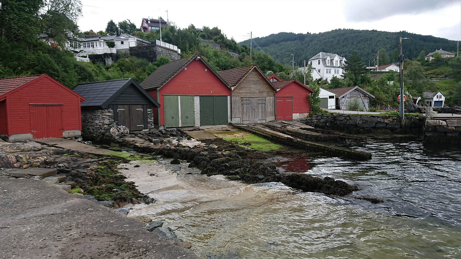
Both stages had their pros and cons, but overall the combined hike ended up on the plus side. Note that there is limited access to public transportation from the end of the final stage, but this can easily be solved by a short walk up to Klauvaneset and the bus stop south of Nordhordalandsbroen.
| Start date | 18.07.2020 12:38 (UTC+01:00 DST) |
| End date | 18.07.2020 15:36 (UTC+01:00 DST) |
| Total Time | 2h 58min |
| Moving Time | 2h 55min |
| Stopped Time | 0h 3min |
| Overall Average | 4.0km/h |
| Moving Average | 4.1km/h |
| Distance | 12.0km |
| Vertical meters | 617m |


User comments