
Bergen: Jubileumsstien (Stage 5 and 6) (13.07.2020)

Skrevet av hbar (Harald Barsnes)

| Startsted | Søylen (75moh) |
|---|---|
| Sluttsted | Myrdalsvegen (113moh) |
| Turtype | Fjelltur |
| Turlengde | 5t 33min |
| Distanse | 21,3km |
| Høydemeter | 1109m |
| GPS |
|
| Bestigninger | Byfjellenes høyeste punkt (674moh) | 13.07.2020 |
|---|---|---|
| Grønetua (642moh) | 13.07.2020 | |
| Hauggjelsvarden (673moh) | 13.07.2020 | |
| Nukane (373moh) | 13.07.2020 | |
| Storsåta (434moh) | 13.07.2020 | |
| Vardegga (637moh) | 13.07.2020 | |
| Andre besøkte PBE'er | Alfjellet (630moh) | 13.07.2020 |
| Haukelandsvarden (640moh) | 13.07.2020 | |
| Regulatoren (ruin) (648moh) | 13.07.2020 | |
| Søylen p-lomme (85moh) | 13.07.2020 | |
| Vikinghytten (586moh) | 13.07.2020 |
Bergen: Jubileumsstien (Stage 5 and 6)
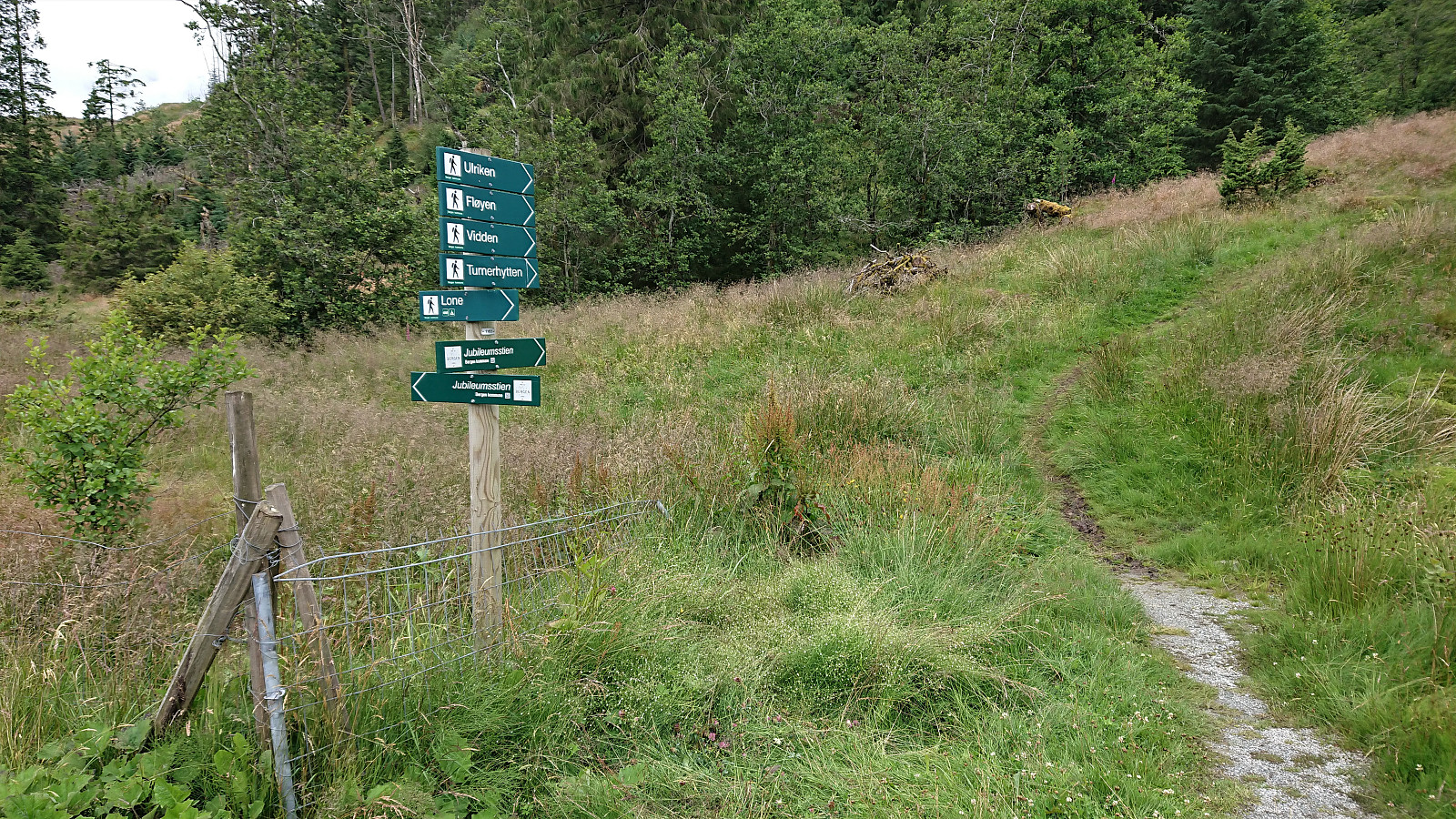
Jubileumsstien
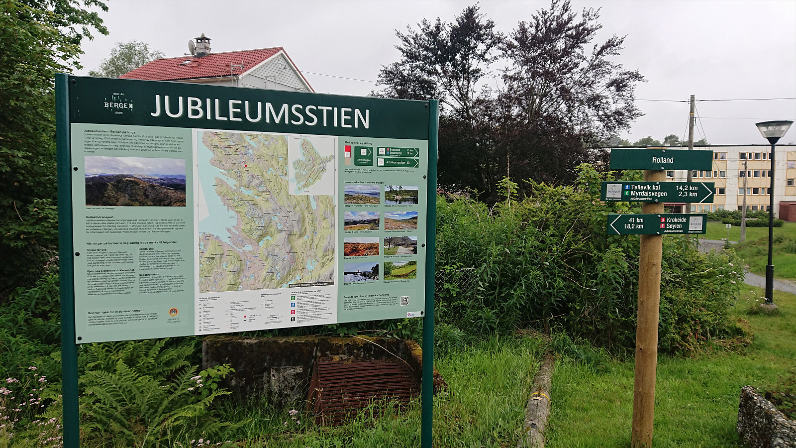
Jubileumsstien is a new trail (or mainly a combination of existing trails) that makes it possible to hike across Bergen, from Krokeide in the south to Tellevik in the north, a total distance of about 55 km. This hike includes Stage 5 and 6: Søylen to Myrdalsvegen.
Stage 5: Søylen to Rolland
After an overall disappointing start to Jubileumsstien (see my earlier reports here and here), I was back at Søylen, hopeful that the next stage would be better.
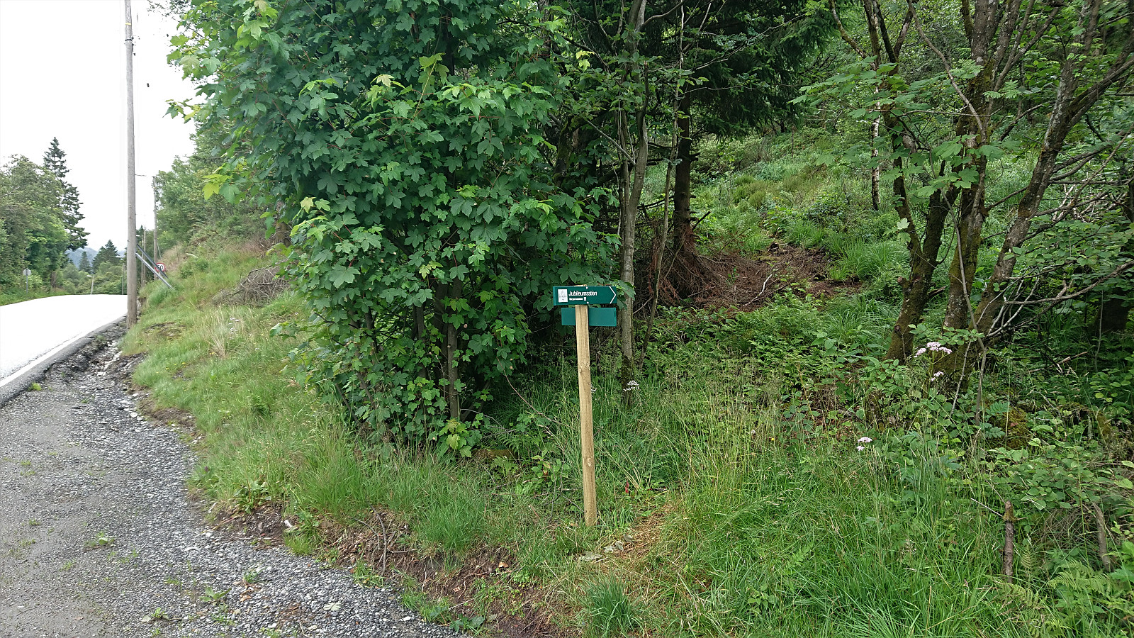
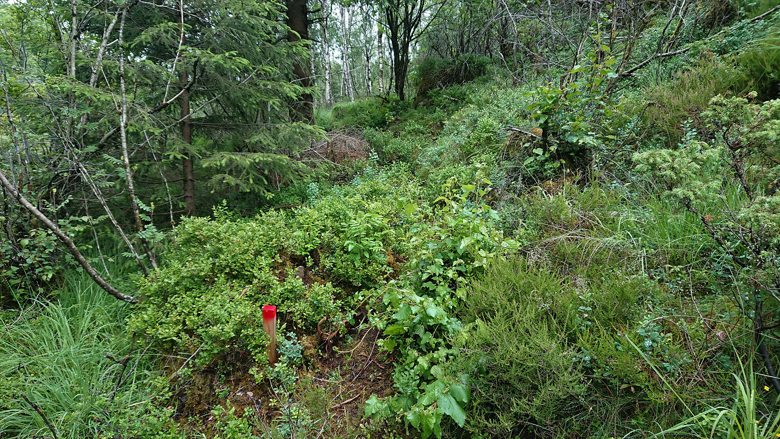
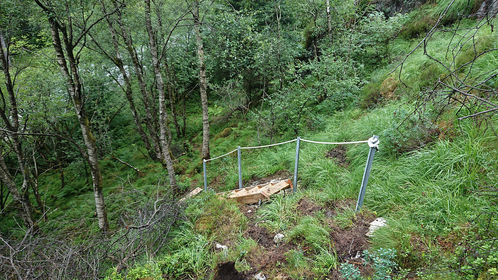
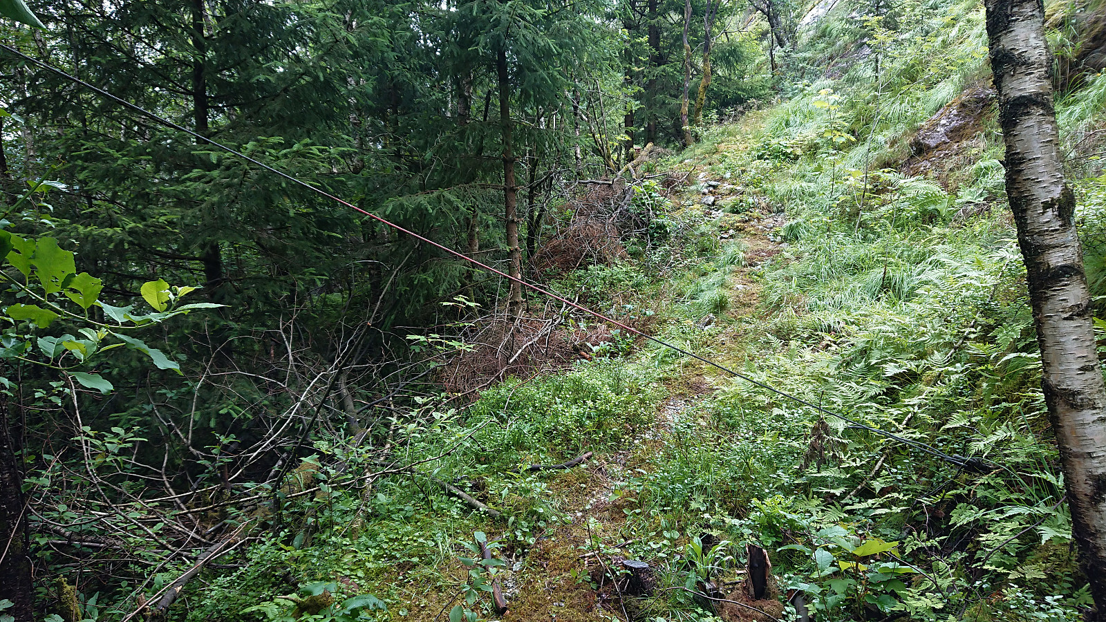
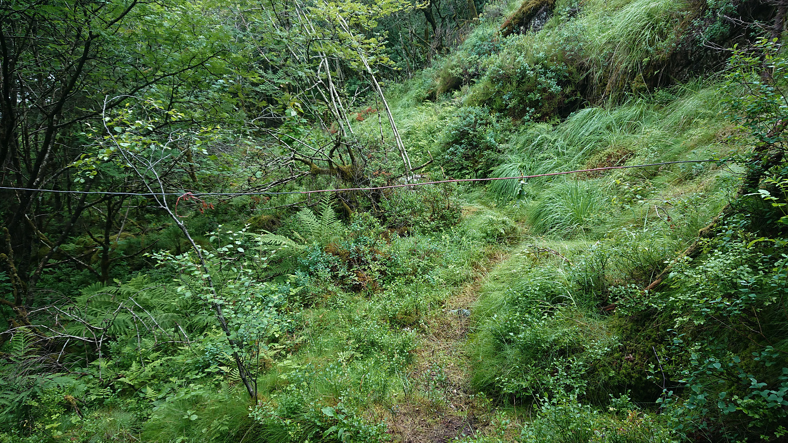
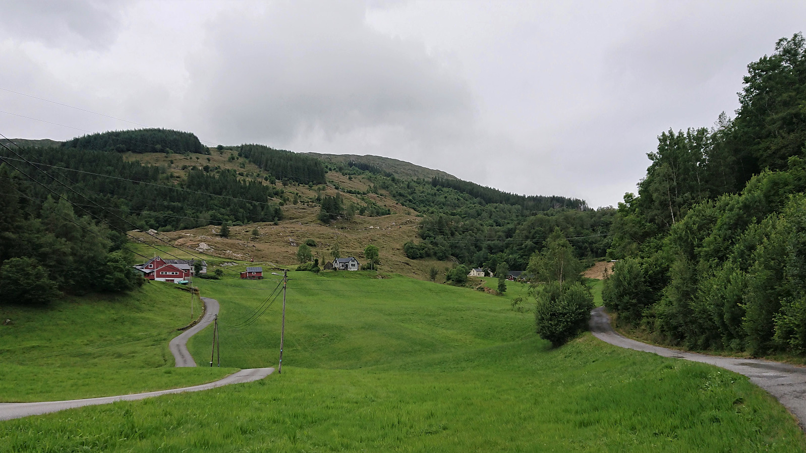
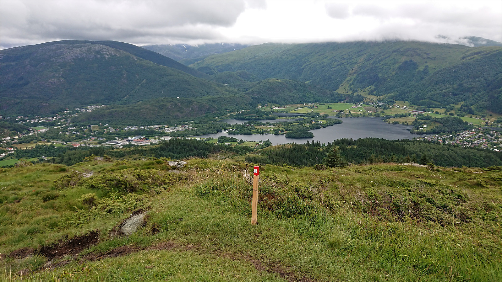
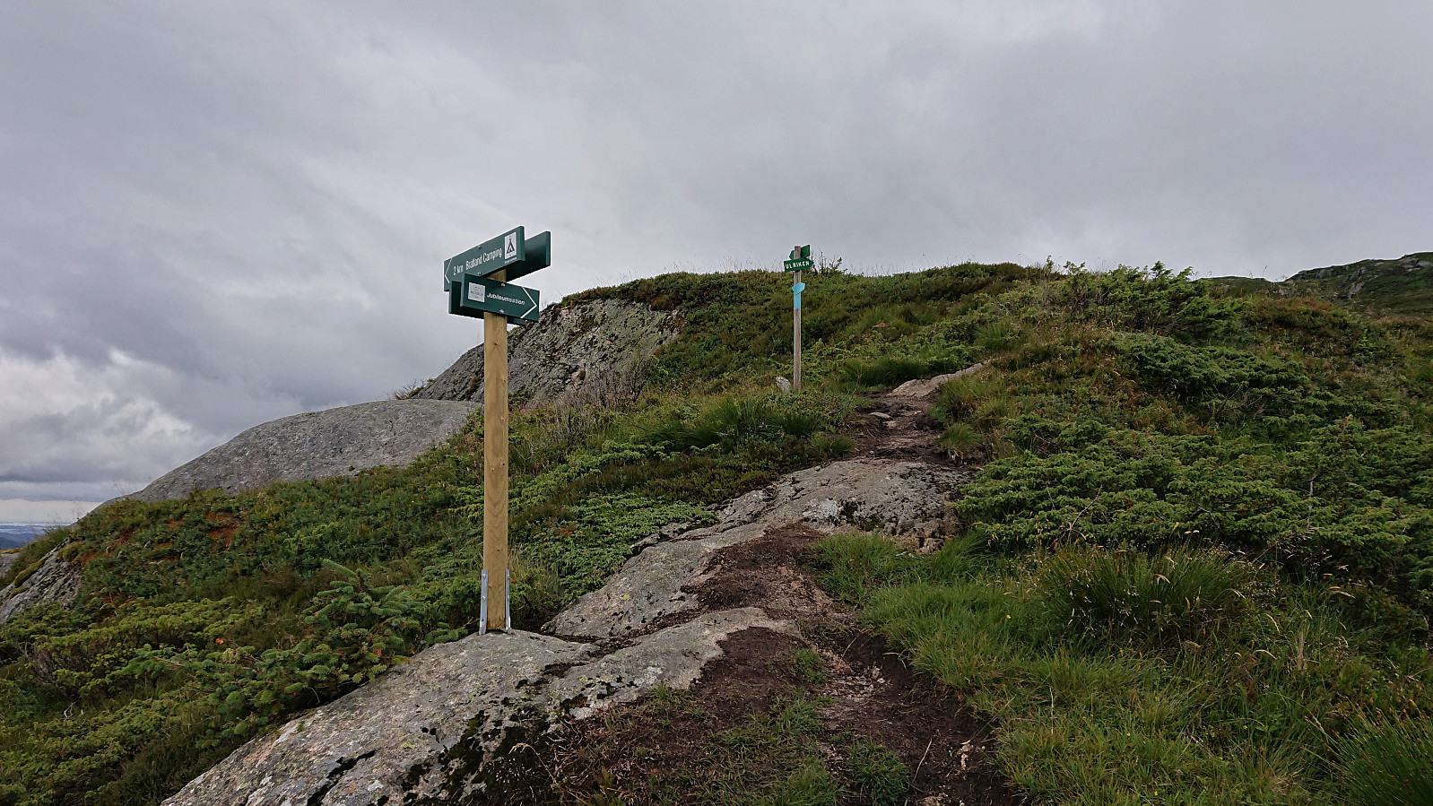
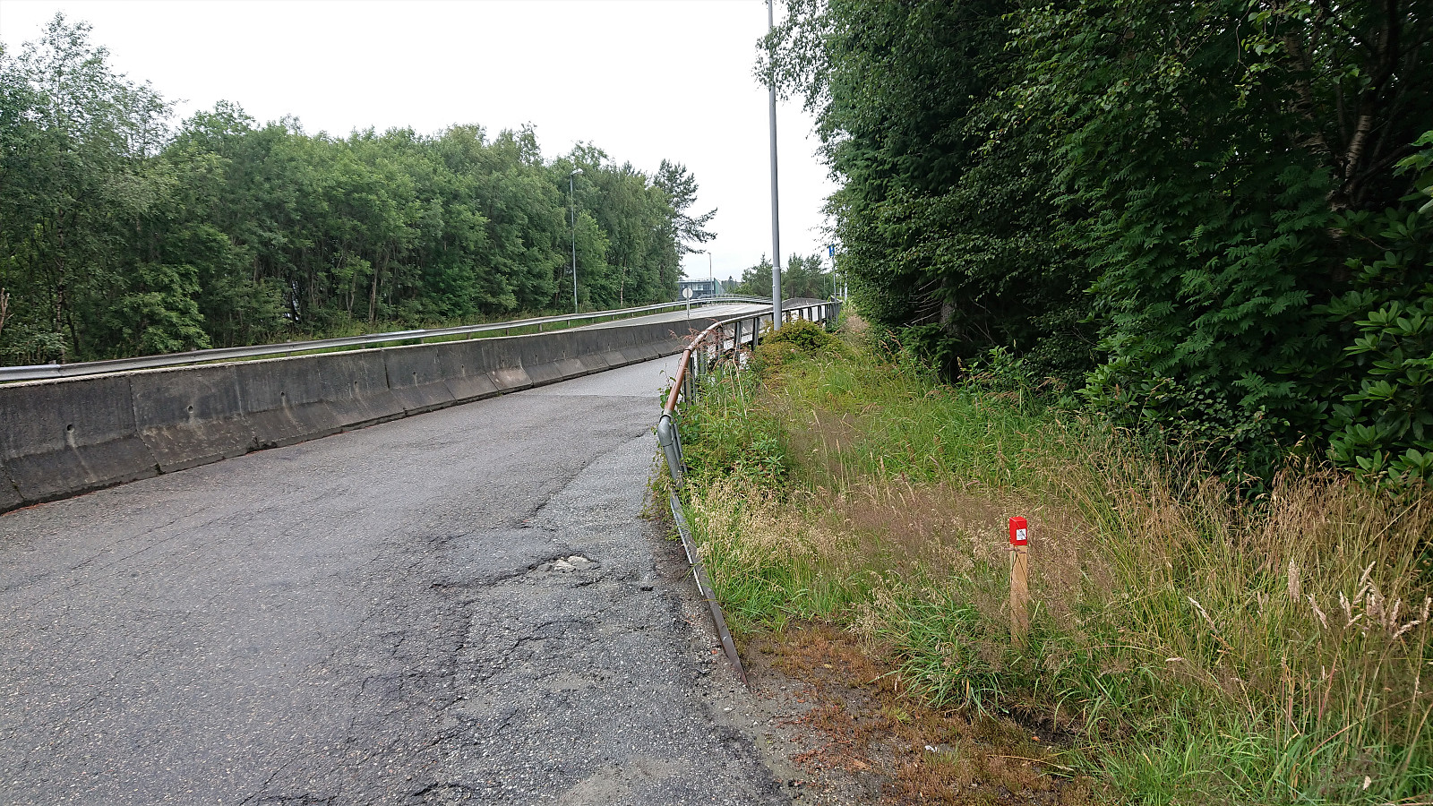
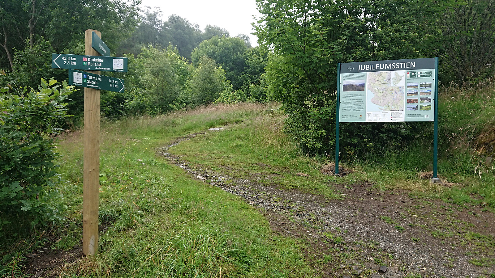
From the large information sign marking the start of Stage 5, I easily located the marked trailhead less than 50 meters up the road. The trail itself was less easy to see though, as it was of rather poor quality (even included two potentially dangerous metal wires stretched right across the trail). But after about 200 meters or so the trail thankfully connected with the sidewalk, which I could then follow north along Hardangervegen until leaving for a smaller road up to Øvre Brattland. Note that when reaching Øvre Brattland the trail marking could be better, as it is easy to assume that one is supposed to continue left (west), and then end up in between the two buildings, instead of the correct right (north/northeast) up the smaller gravel road.
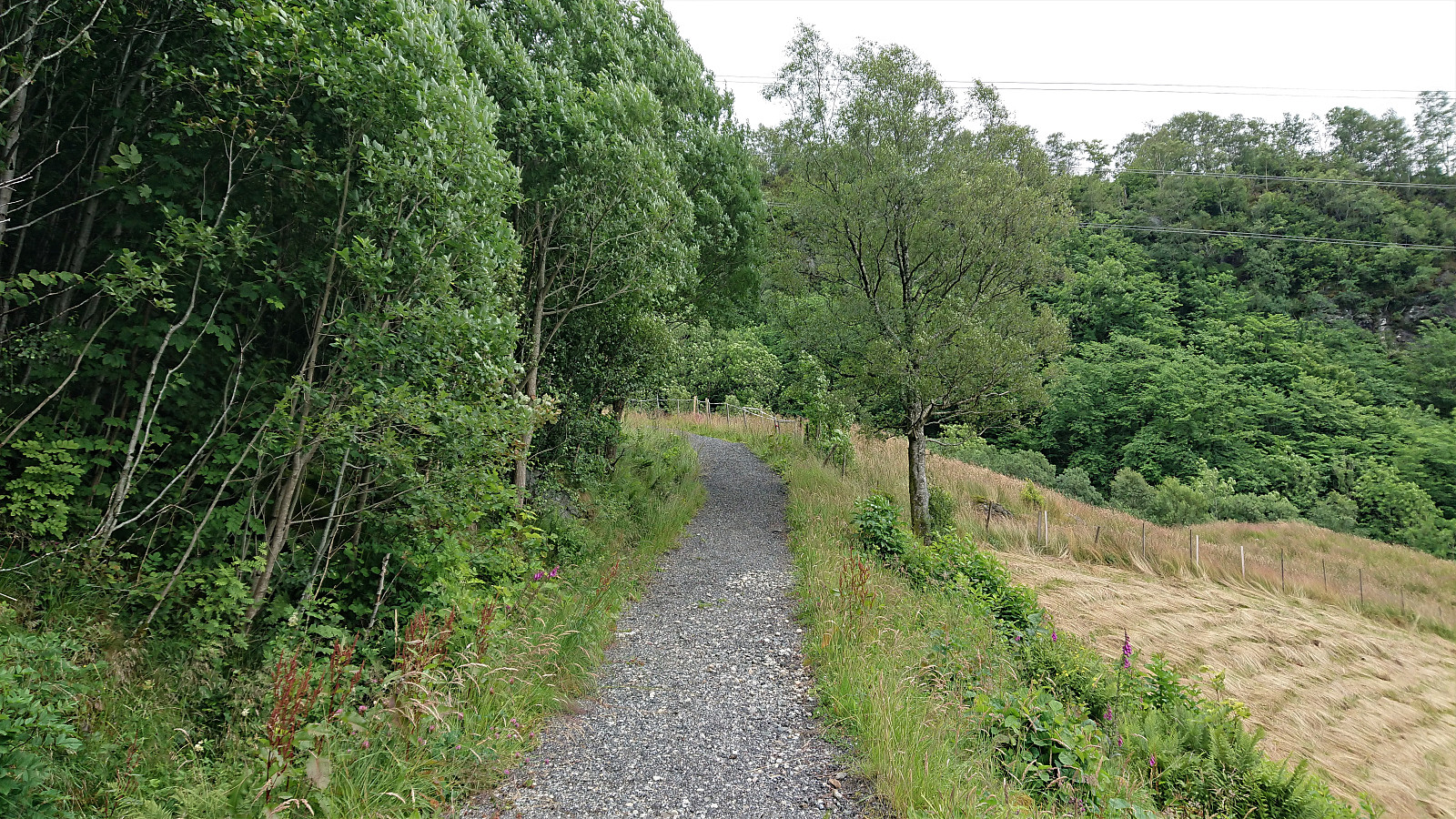
Once at the gravel road it could however easily be followed all the way to the next marked trailhead west of Haukeland. As I'd gotten to expect, the trail itself was not that clearly marked though, and when it split I ended up picking the wrong option. But at this point it does not really matter, as the both trails soon merge anyway.
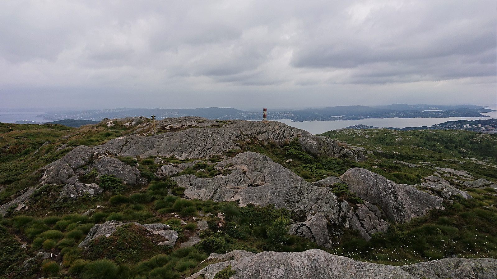
The trail started out relatively wet and slippery, but this soon improved, especially after getting up above the tree line. Note that the trail is also marked with blue “Rett Vest” markers (which are more frequent than the Jubileumsstien markers). The two marked trails split just after passing Haukelandsvarden, where Jubileumsstien continue north to Hauggjelsvarden.
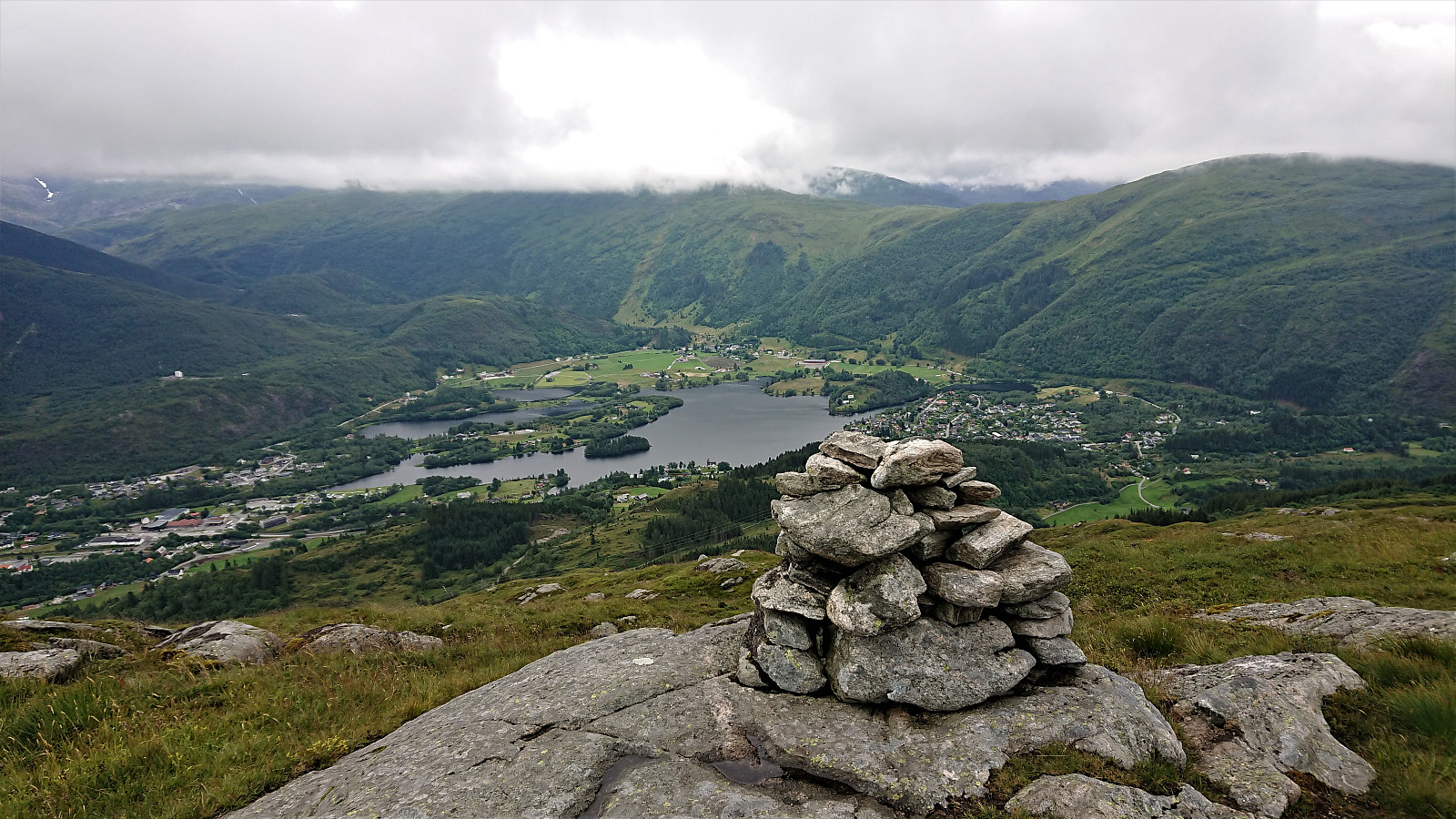
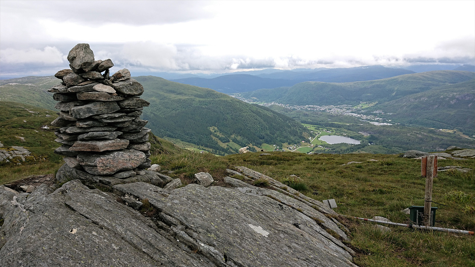
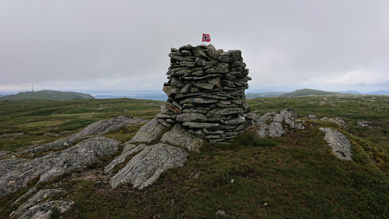
Note that according to the Jubileumsstien home page, Hauggjelsvarden is described as "the highest point at Byfjellene". But this is not true, at least not for the cairn the trail passes by, as that honor goes to the larger cairn 100 meters to the southwest, which I of course had to make the short detour to visit.
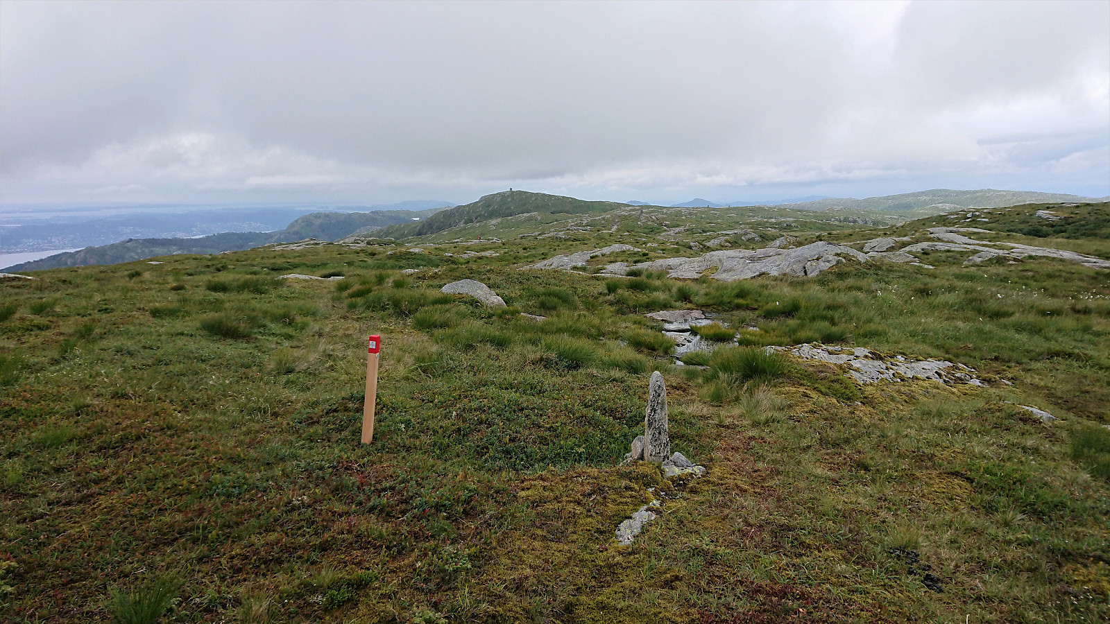
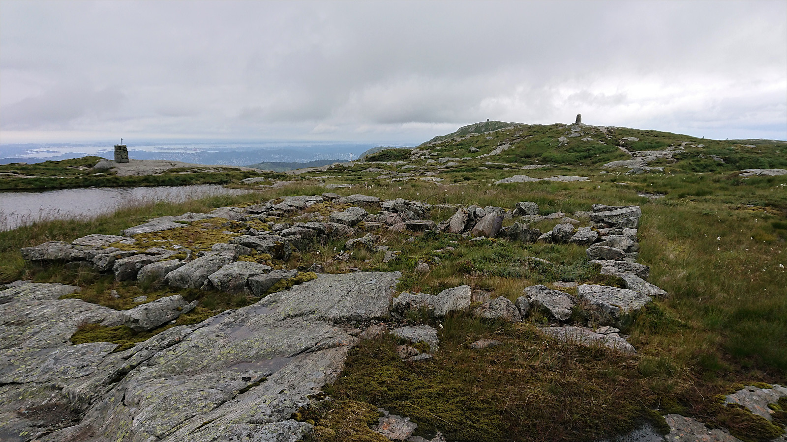
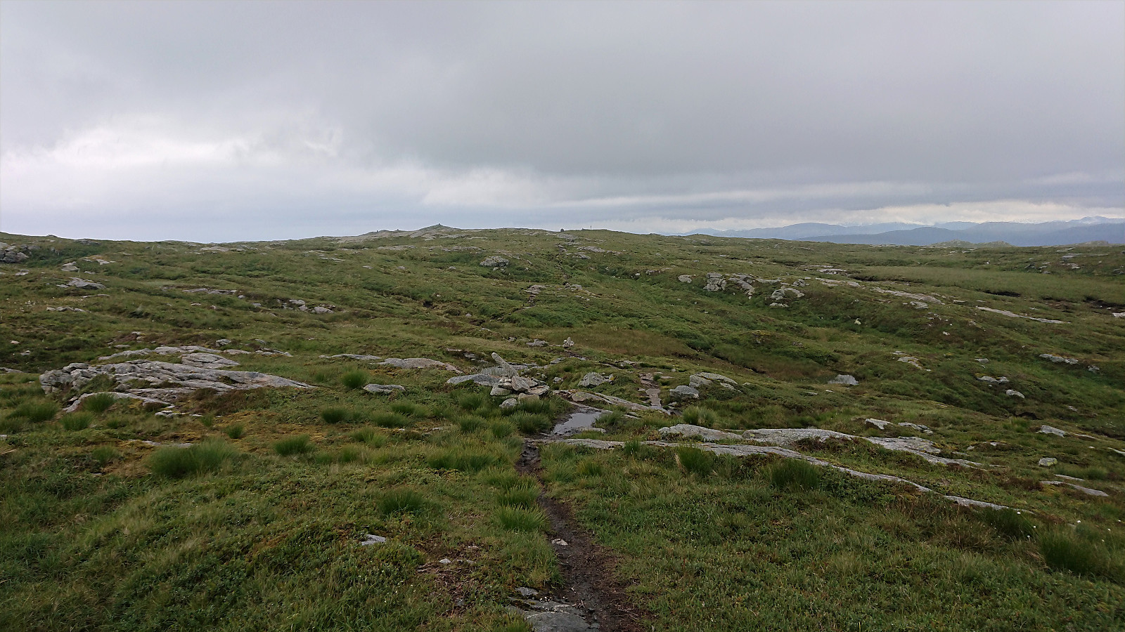
According to the GPS tracks provided by Jubileumsstien, the trail was now supposed to continue in the direction for Skjulet, but either the provided GPS track is not accurate or they changed their mind, as the markers were clearly not heading in that direction, but rather slightly further west. I did not see much of a trail here though, but I was soon on the main trail across Vidden anyway (after passing by the ruins of Regulatoren).
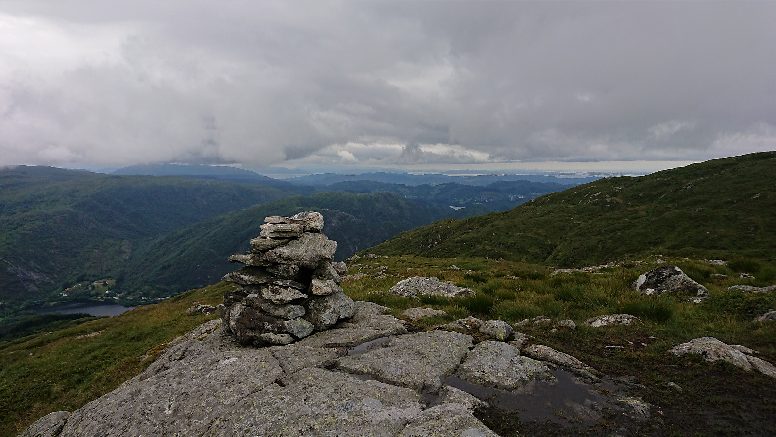
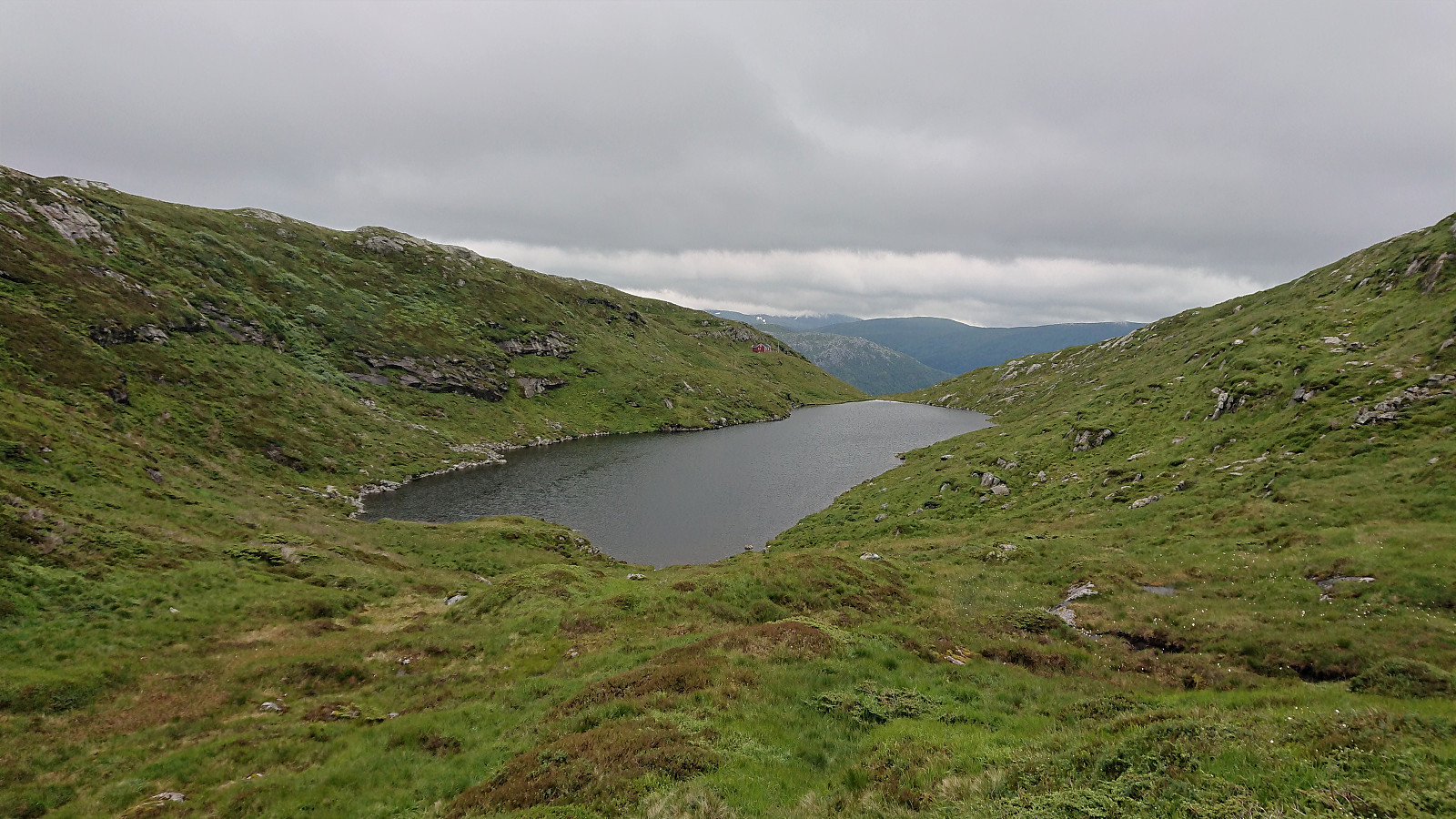
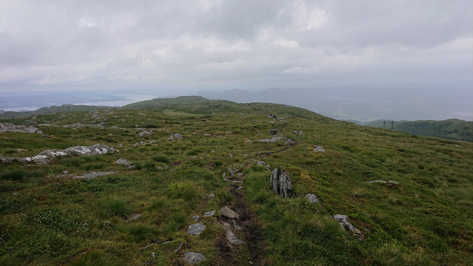
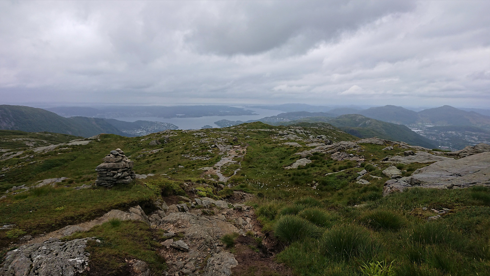
The trail then followed the usual route across Vidden (did not see many markers though), before heading northeast to Grønetua and Vikinghytten, and then following Vardegga northwest to Storsåta and Nukane, before taking a (for me) new route down the ridge to Kolåsen. Not much to say about this part of the hike, except that the views are very nice and that the trail includes its fair share of muddy and slippery sections, especially in between Vikinghytten and Kolåsen.
I finally arrived at Kolåsen, and the end of Stage 5, about five hours after starting out from Søylen. Clearly the best stage so far. With excellent views for most of the hike, although today limited by low-hanging clouds. The variable trail quality should be mentioned though. But this should be less noticeable on days with better weather.
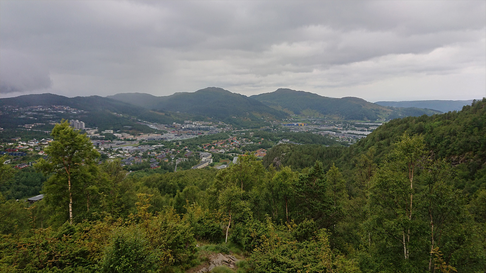
Stage 6: Rolland to Myrdalsvegen
Upon completing Stage 5, I decided to also include Stage 6, as it made more sense to start with Stage 7 for the next hike, rather than to return to Kolåsen. Generally, the end of Stage 5 and the start of Stage 7, are the odd ones out in terms of location, as they are not immediately near bus stops in the same way as for the other stages.
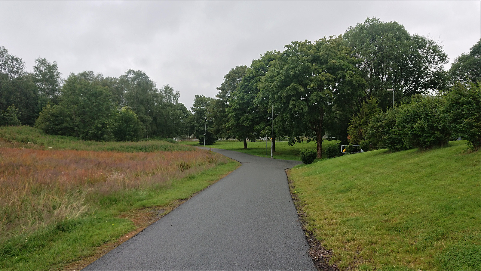
After an uneventful short walk, less than half an hour, I therefore shortly arrived at Myrdalsvegen and the end of Stage 6. A stage that was basically just a short walk through the center of Åsane, following sidewalks the whole time. Obviously a stage that, if hiked at all, makes the most sense to combine with either the stage before or after.
Conclusion
Stage 5 is by far the best of the stages so far. One should however note that it is much longer than the other stages and it may require more planning, both to get to the start of the stage (for me it required three separate buses) and to make sure that one gets all the way to the end before it gets too dark. And unless it is essential to walk the whole of Jubileumsstien, I would very much recommend skipping the first part of Stage 5 and rather start from the bus stop(s) further north. The same can be said for the whole of Stage 6, i.e. it can be skipped without missing much.
| Starttidspunkt | 13.07.2020 12:38 (UTC+01:00 ST) |
| Sluttidspunkt | 13.07.2020 18:11 (UTC+01:00 ST) |
| Totaltid | 5t 33min |
| Bevegelsestid | 5t 23min |
| Pausetid | 0t 10min |
| Snittfart totalt | 3,8km/t |
| Snittfart bevegelsestid | 3,9km/t |
| Distanse | 21,3km |
| Høydemeter | 1108m |


Kommentarer