
Gleinefjellet, Sætrefjellet and Gråsida (11.07.2020)

Written by hbar (Harald Barsnes)

| Start point | Sætrefjellet p-plass (500m) |
|---|---|
| Endpoint | Sætrefjellet p-plass (500m) |
| Characteristic | Hillwalk |
| Duration | 4h 20min |
| Distance | 15.6km |
| Vertical meters | 884m |
| GPS |
|
| Ascents | Gleinefjellet (789m) | 11.07.2020 |
|---|---|---|
| Gråsida (855m) | 11.07.2020 | |
| Sætrefjellet (768m) | 11.07.2020 | |
| Visits of other PBEs | Sætrefjellet p-plass (502m) | 11.07.2020 |
Gleinefjellet, Sætrefjellet and Gråsida
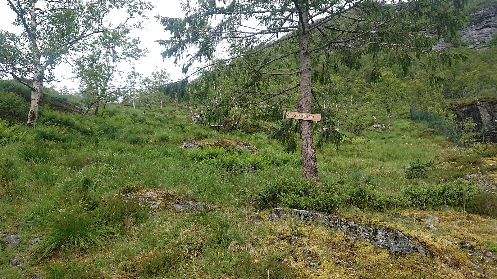
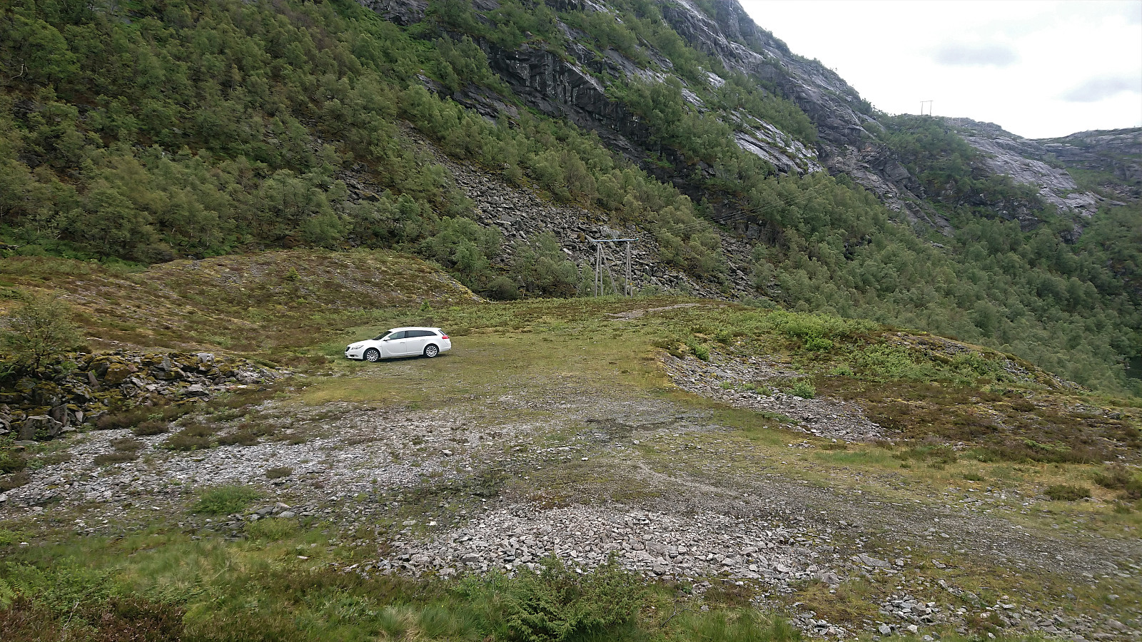
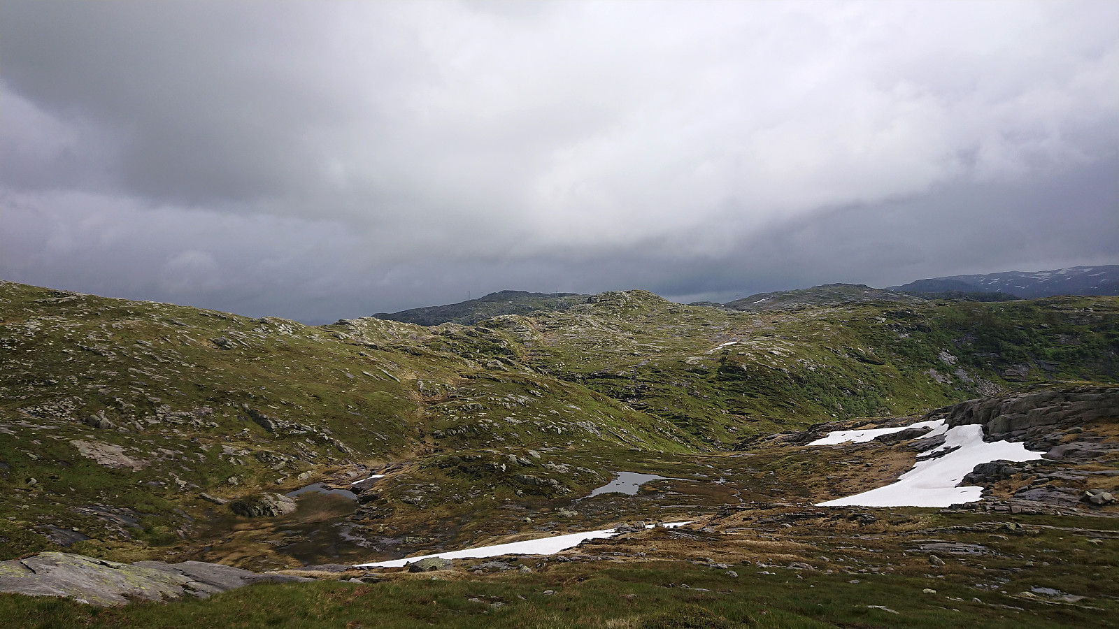
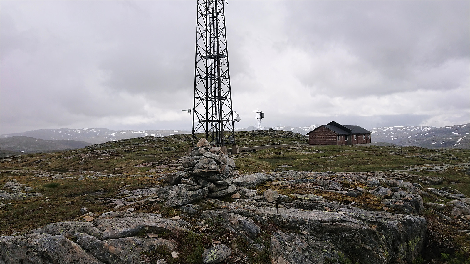
Another trip with Fjellsamleren (Endre Myrdal Olsen). The first in over half a year. This time starting with three peaks in Masfjorden and more or less following in the footsteps of elbow (Vegard Magnussen). We began our hike from Sætrefjellet P-plass, which we today had all to ourselves and from there followed the trail to Gleinefjellet. The trailhead is marked from the parking lot, but other than that there were no trail markers.
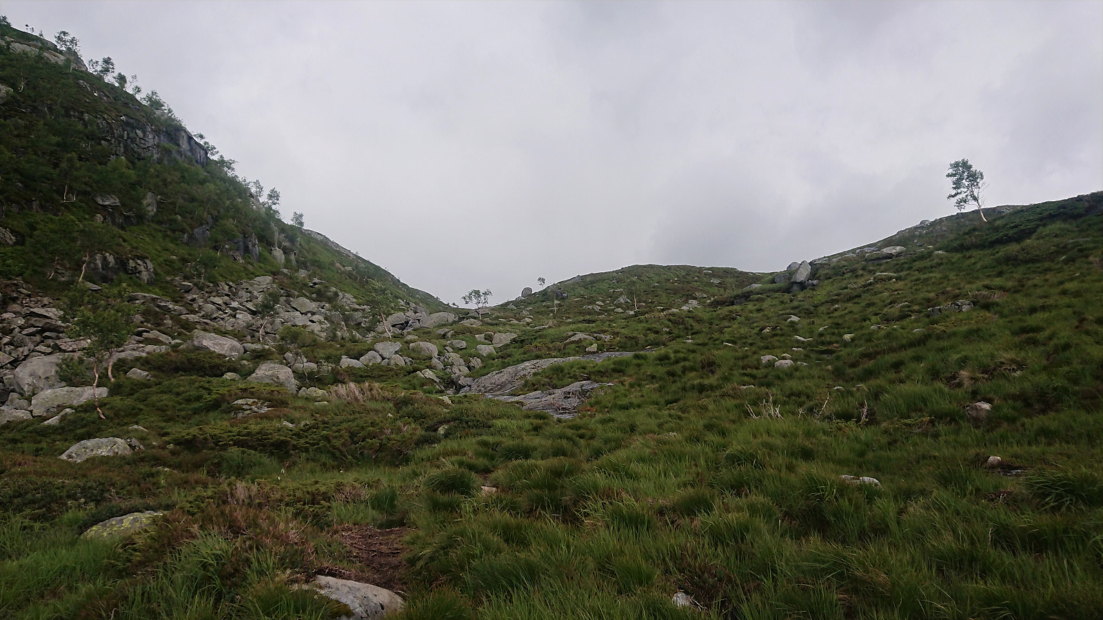
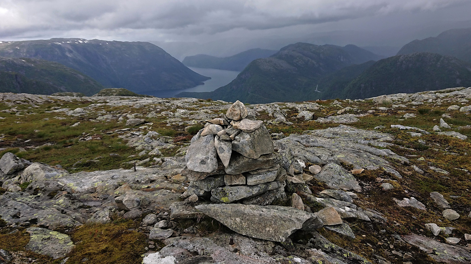
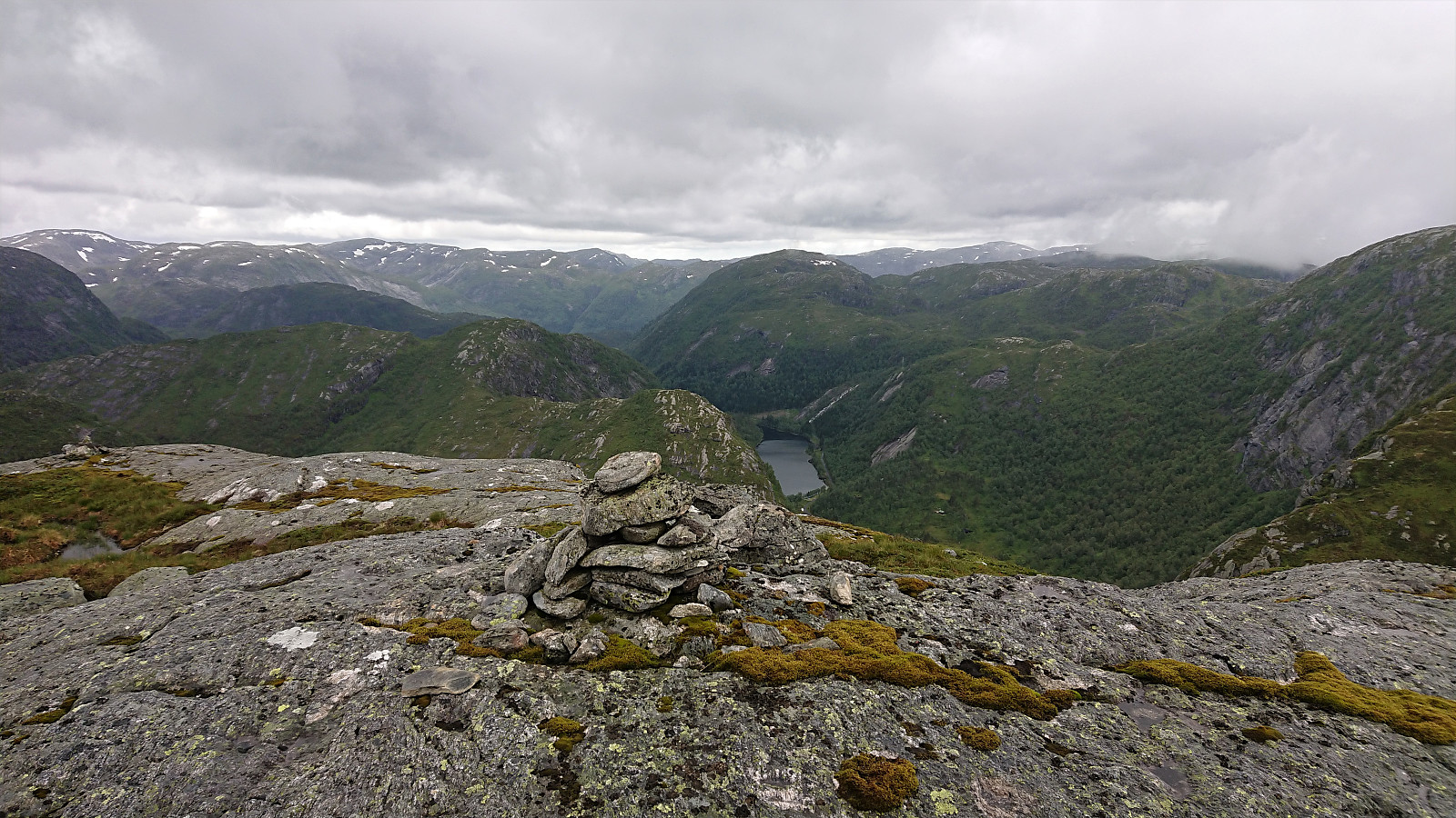
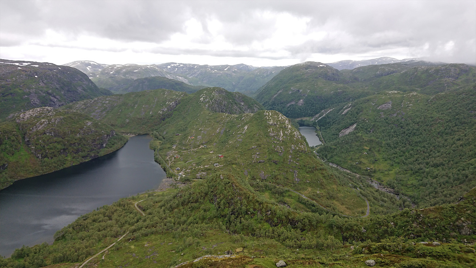
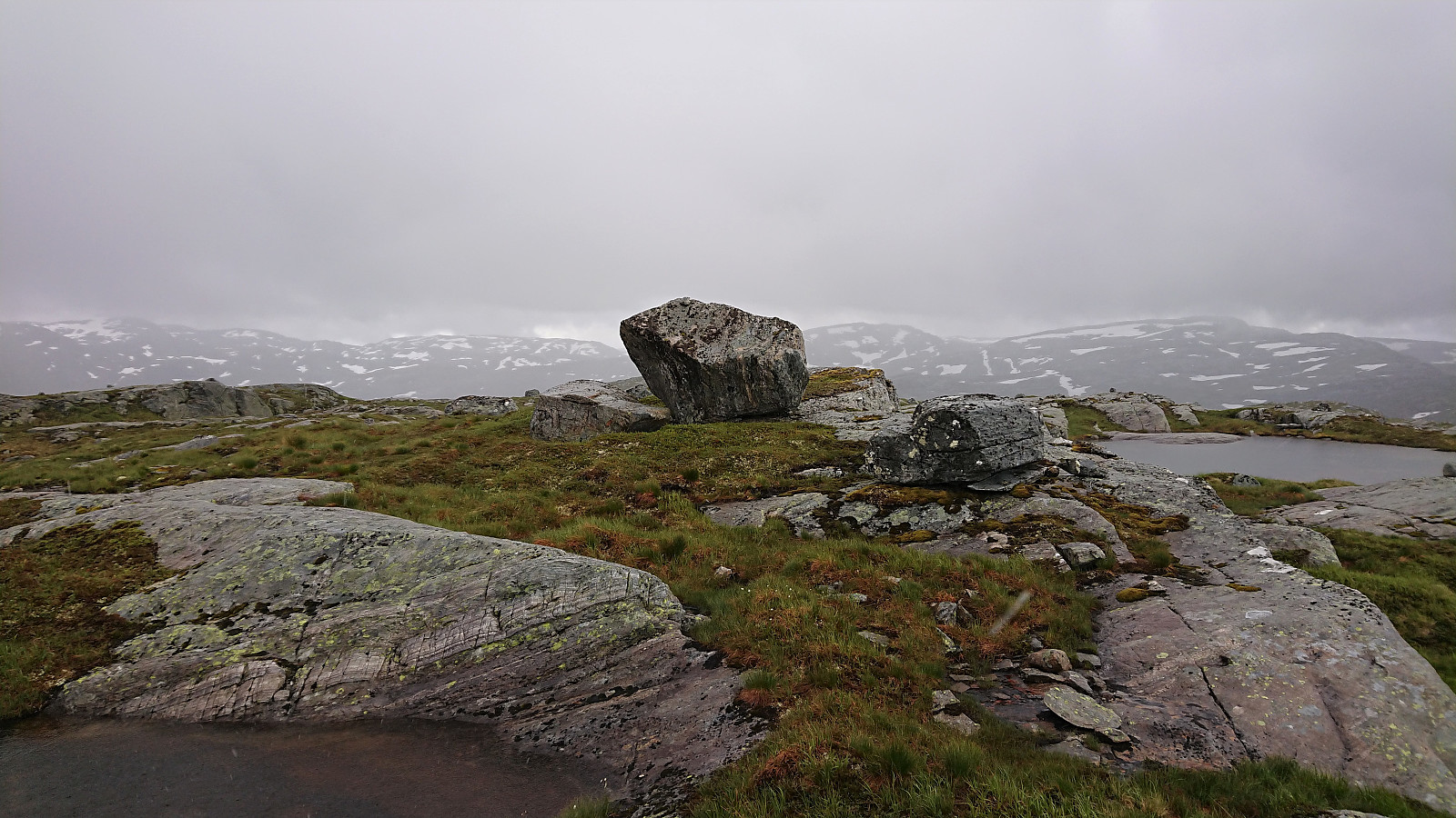
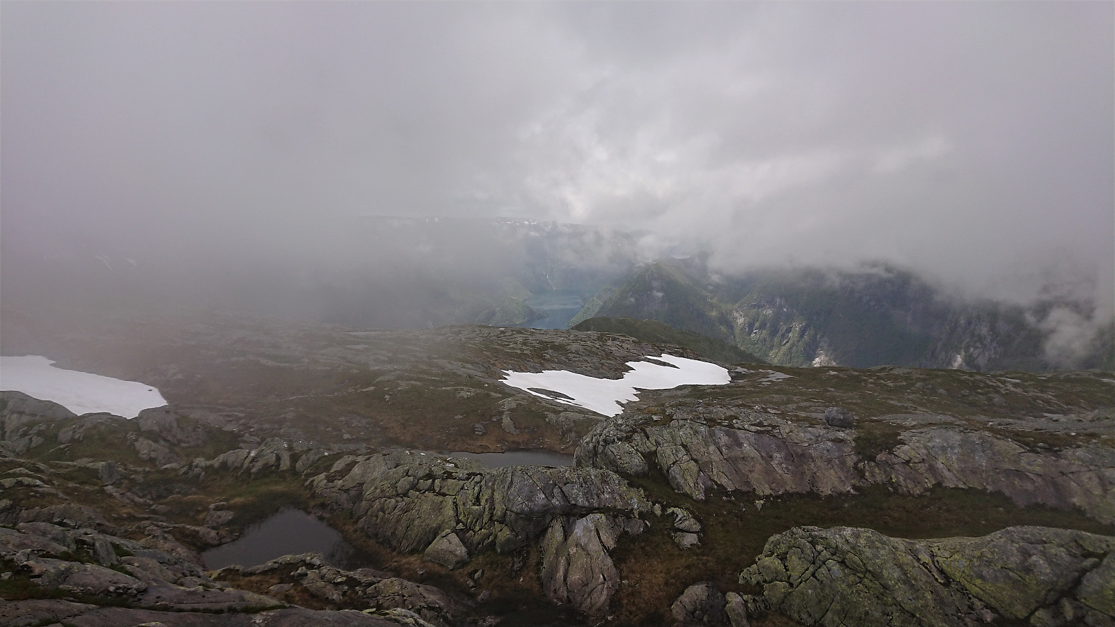
Not the best views from the summit itself, and not helped by the low-hanging clouds either, with slightly better views towards Matresfjorden/Masfjorden just west of the summit. We did not stay long before returning along the same route to the valley called Snjogilen and from there starting our ascent to Sætrefjellet, making a short detour to a nice viewpoint west of the summit.
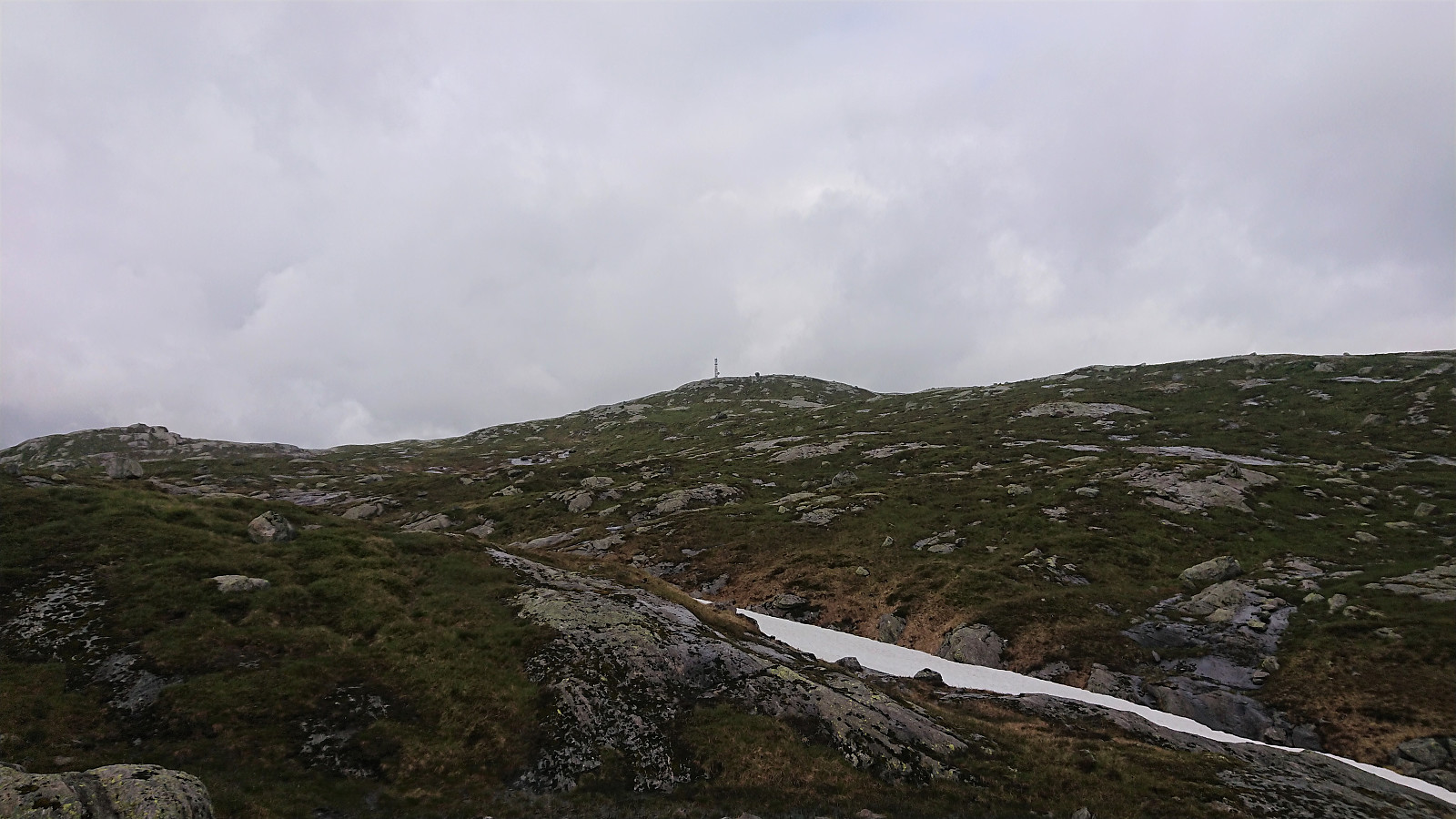
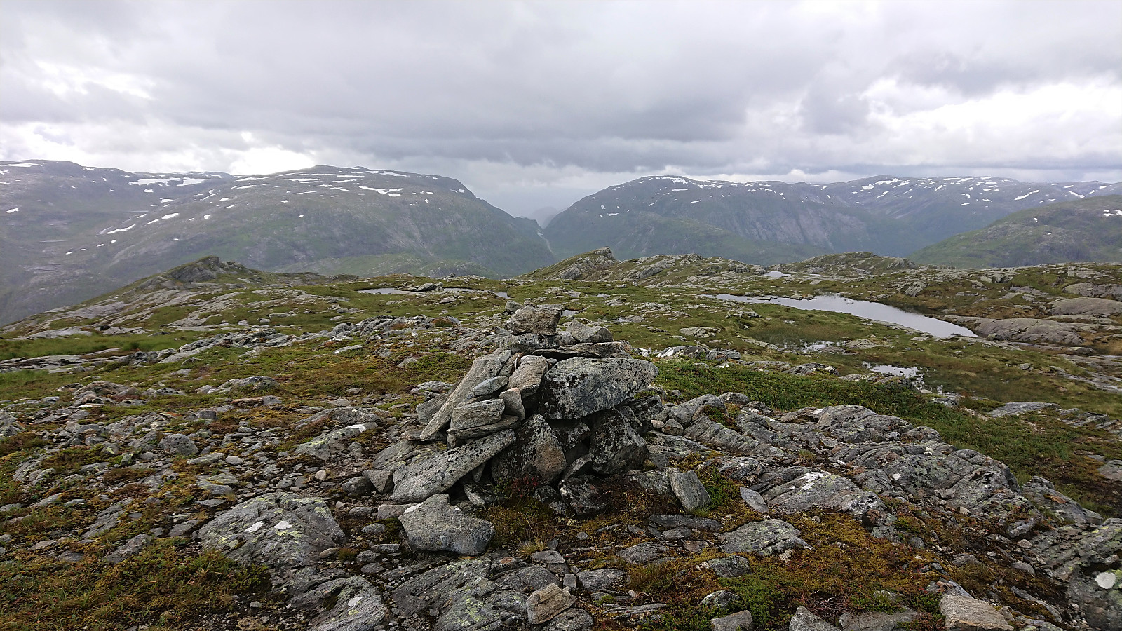
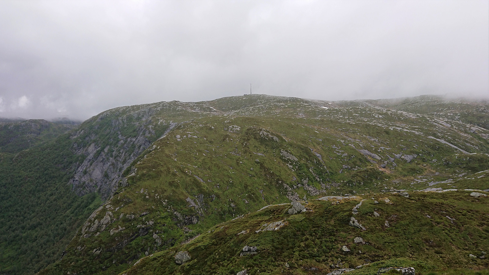
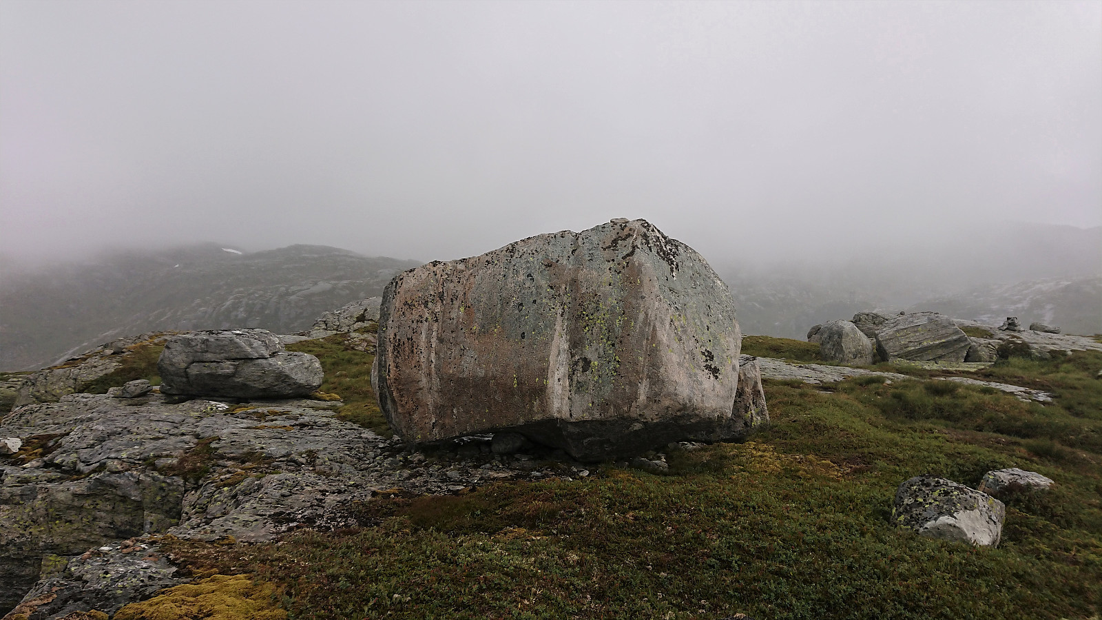
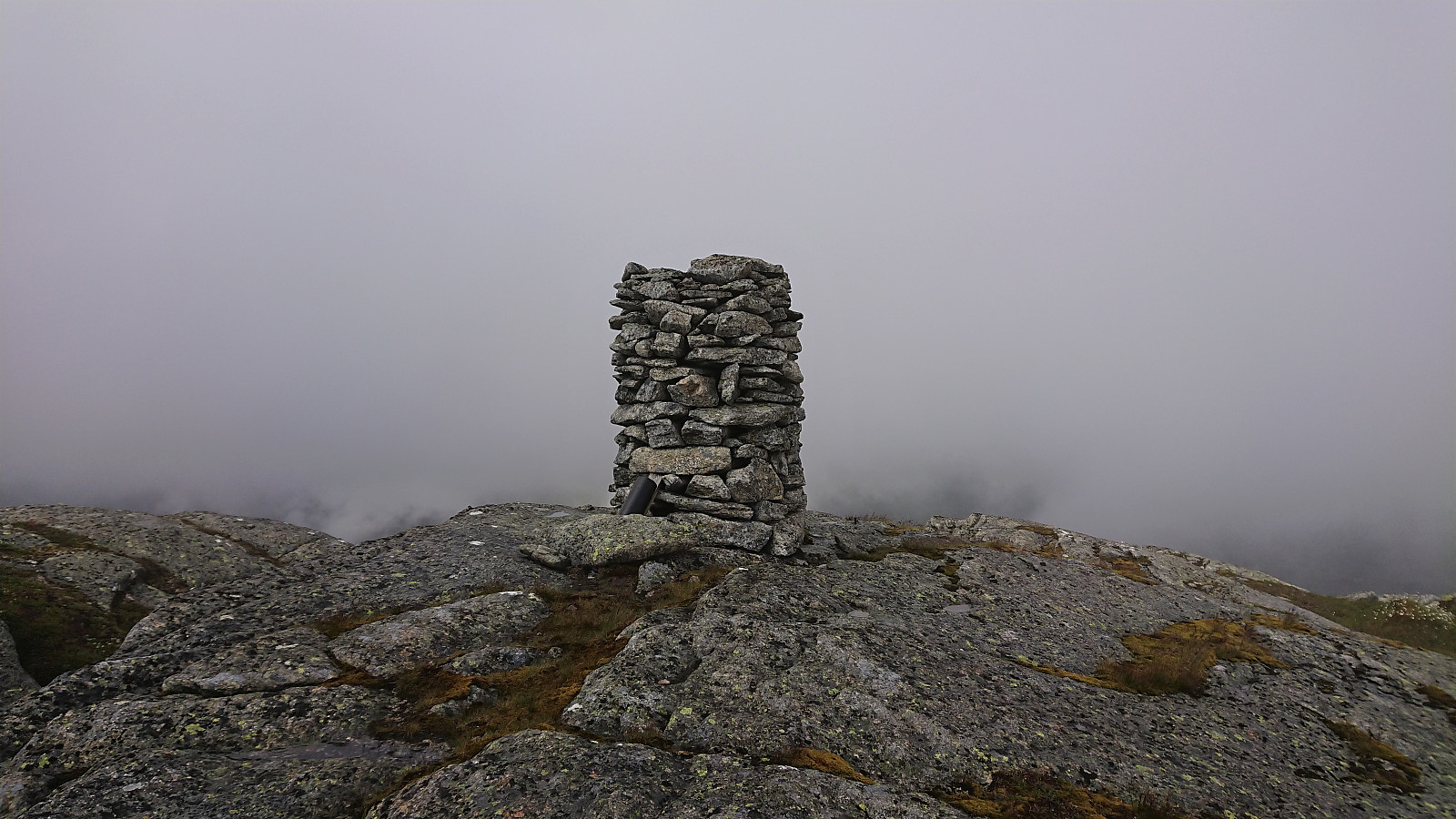
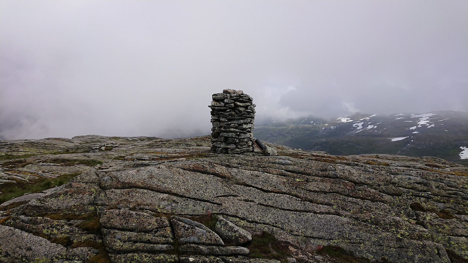
The summit was easily reached, although the large rock marking the summit was too slippery to climb under the current conditions. Rather limited views, mainly due to the low-hanging clouds, and with the rain getting more intense, we quickly continued north towards Gråsida. The first section including some steep areas, but these could easily be avoided.
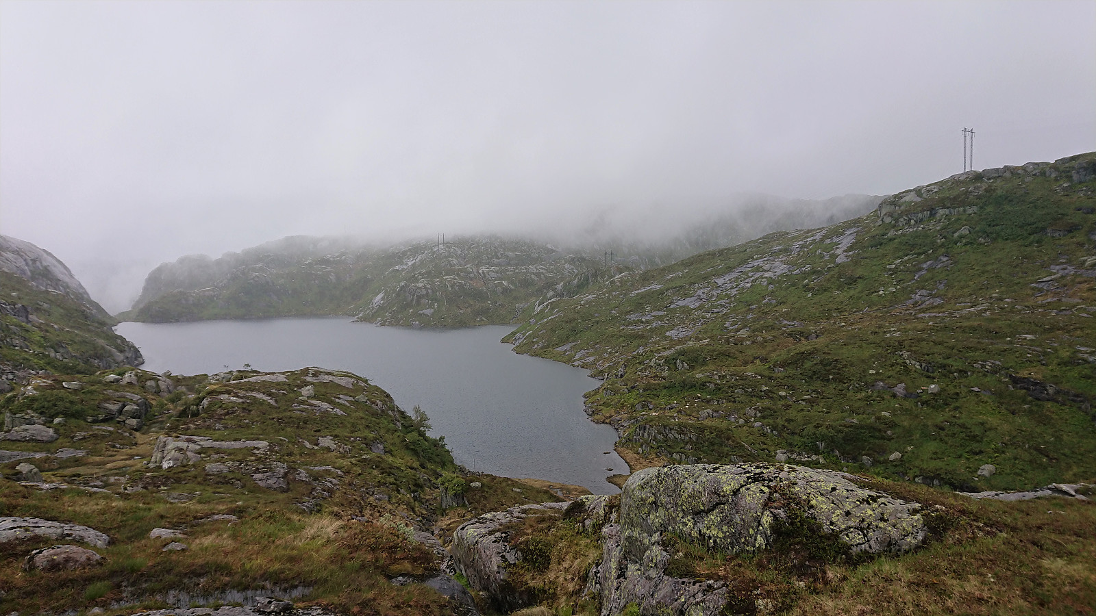
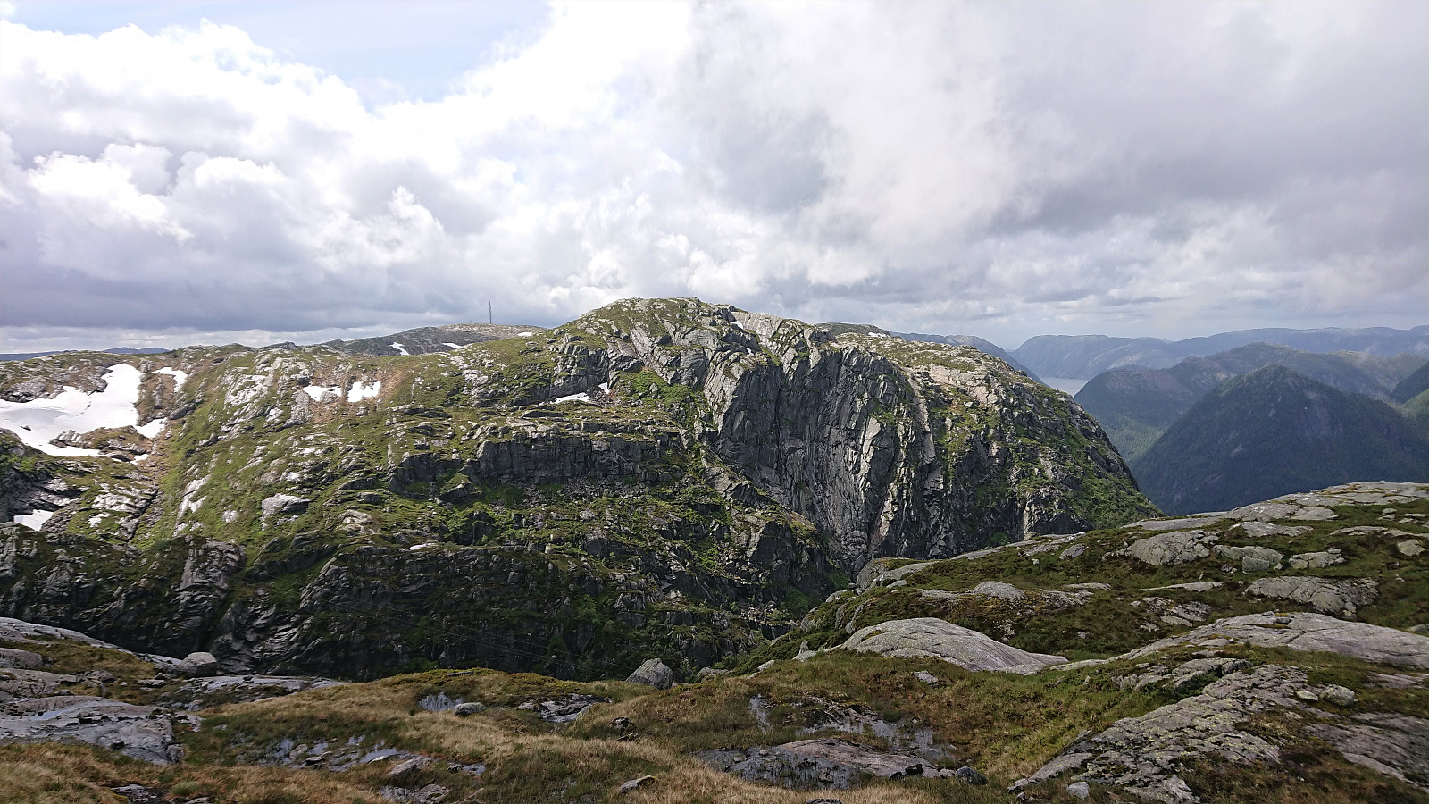
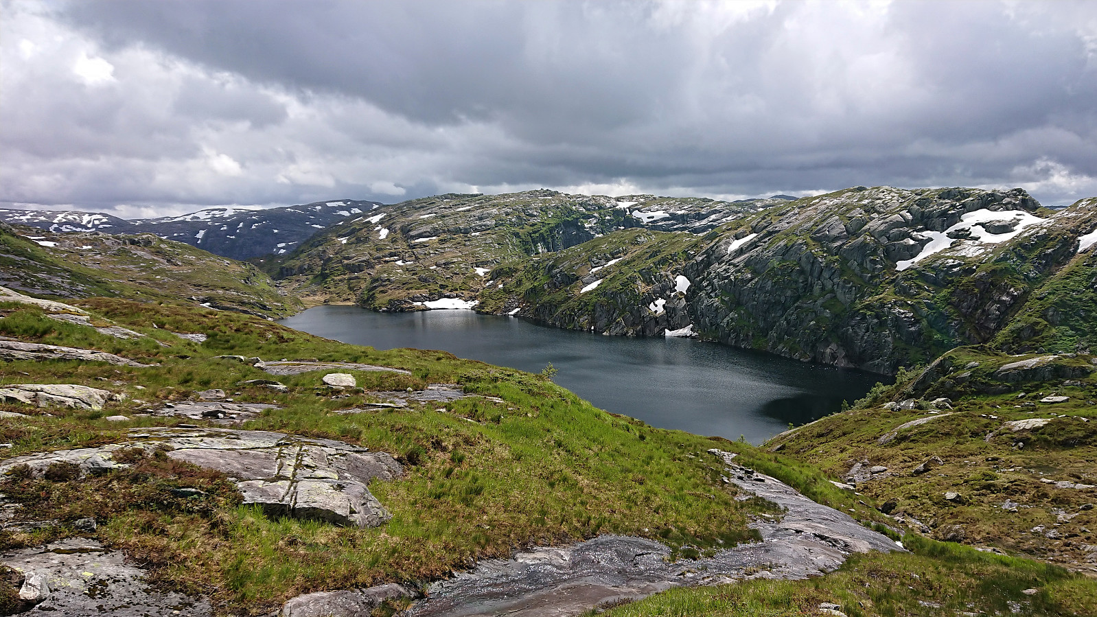
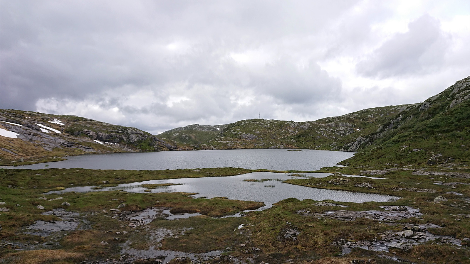
We connected with a trail on the eastern side of Kvernhusvatnet, but as it was rather weak, we soon lost it and ended up making our own way instead. But as the terrain was not too complicated, except for a couple of smaller lakes that had to be avoided, this was relatively straightforward, and we reached the summit without any real challenges.
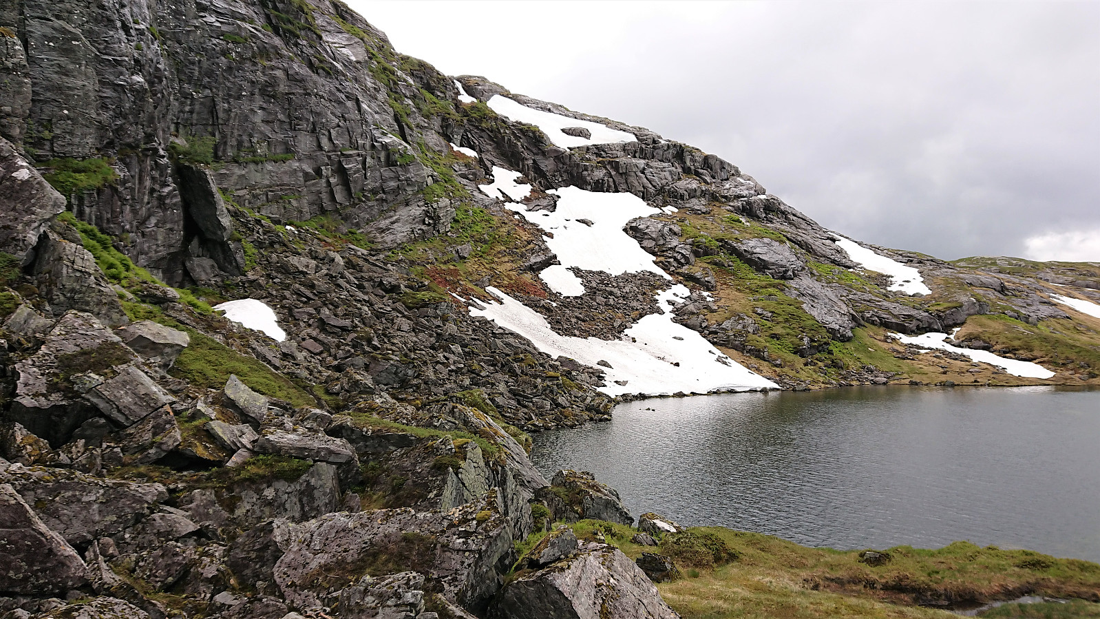
From the summit there is potential for some nice views down to Matresfjorden/Masfjorden, but today these were pretty well hidden by the clouds. After a quick lunch break, we returned along more or less the same route, but this time skipping a second visit to Sætrefjellet. The only challenge being an area of large slippery boulders on the eastern end of Meinsemdevatnet that had to be traversed with care.
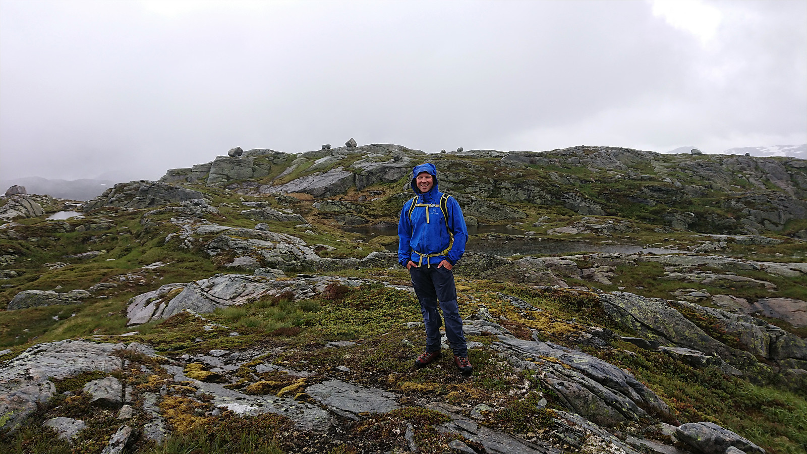
Overall, a wet and cold hike with limited views that is probably more enjoyable in better weather. All three summits can be reached without any issues though, and the parking lot southwest of Sætrefjellet makes them all easily accessible.
| Start date | 11.07.2020 11:14 (UTC+01:00 DST) |
| End date | 11.07.2020 15:34 (UTC+01:00 DST) |
| Total Time | 4h 20min |
| Moving Time | 3h 52min |
| Stopped Time | 0h 27min |
| Overall Average | 3.6km/h |
| Moving Average | 4.0km/h |
| Distance | 15.6km |
| Vertical meters | 883m |


User comments