
Bergen: Jubileumsstien (Stage 3 and 4) (08.07.2020)

Skrevet av hbar (Harald Barsnes)

| Startsted | Valle (150moh) |
|---|---|
| Sluttsted | Søylen (74moh) |
| Turtype | Fjelltur |
| Turlengde | 2t 52min |
| Distanse | 10,1km |
| Høydemeter | 477m |
| GPS |
|
| Andre besøkte PBE'er | Myrdal parkering (80moh) | 08.07.2020 |
|---|---|---|
| Myrdalshuk (83moh) | 08.07.2020 | |
| Søylen p-lomme (85moh) | 08.07.2020 |
Bergen: Jubileumsstien (Stage 3 and 4)
Jubileumsstien
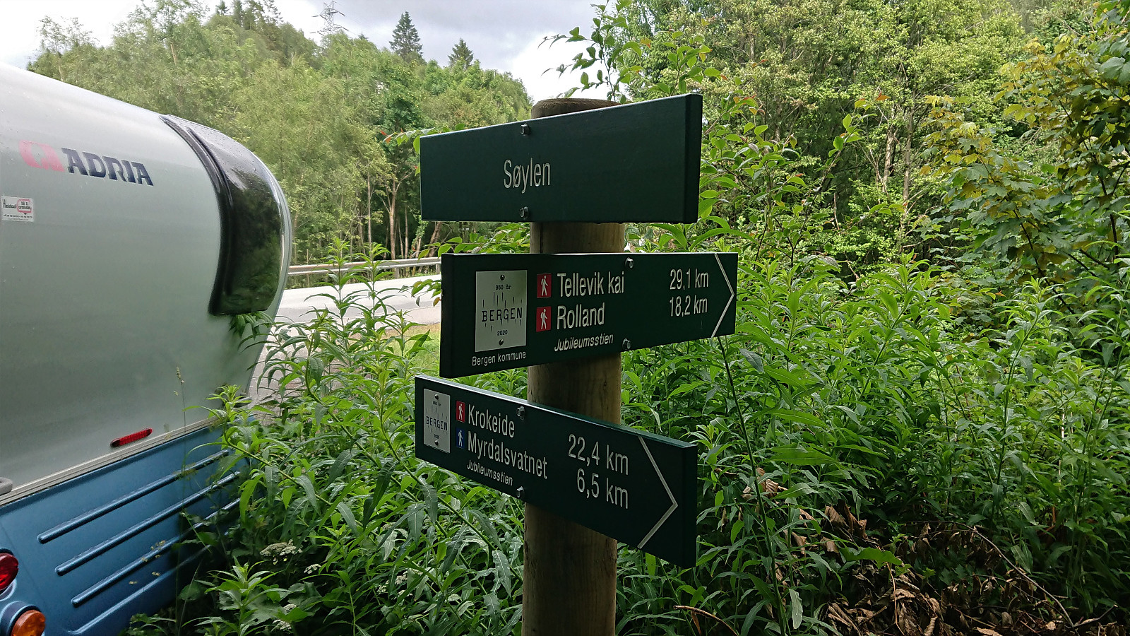
Jubileumsstien is a new trail (or mainly a combination of existing trails) that makes it possible to hike across Bergen, from Krokeide in the south to Tellevik in the north, a total distance of about 55 km. This hike includes the third and fourth stages: Valle to Søylen.
Stage 3: Valle to Myrdalsvatnet
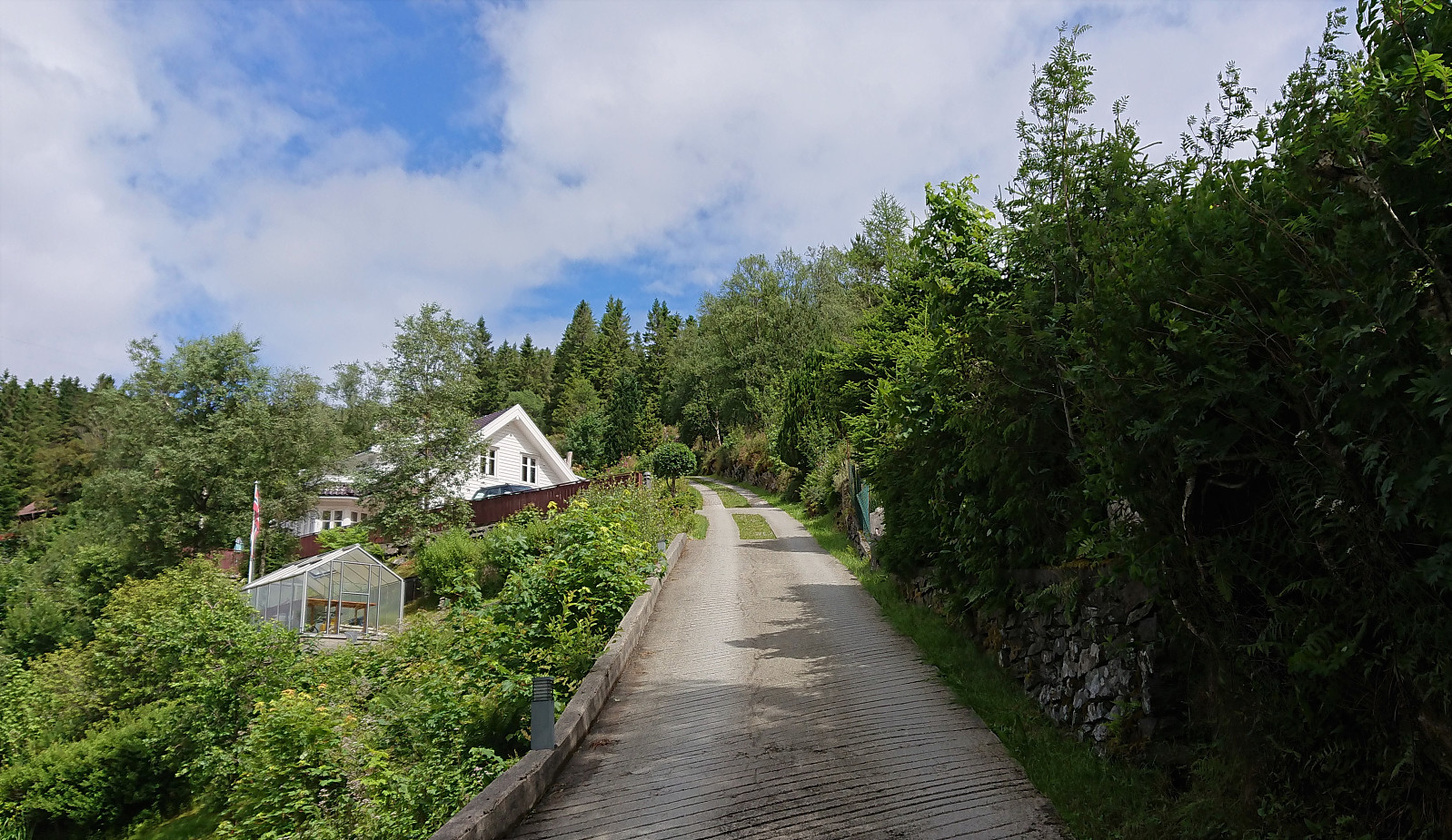
After yesterday's overall disappointing start to Jubileumsstien, I was hoping that Stage 3 and 4 would pick up the quality. And the start from the bus stop at Valle was indeed rather interesting, following the very steep Osvegen. I would not want to drive here in the winter!
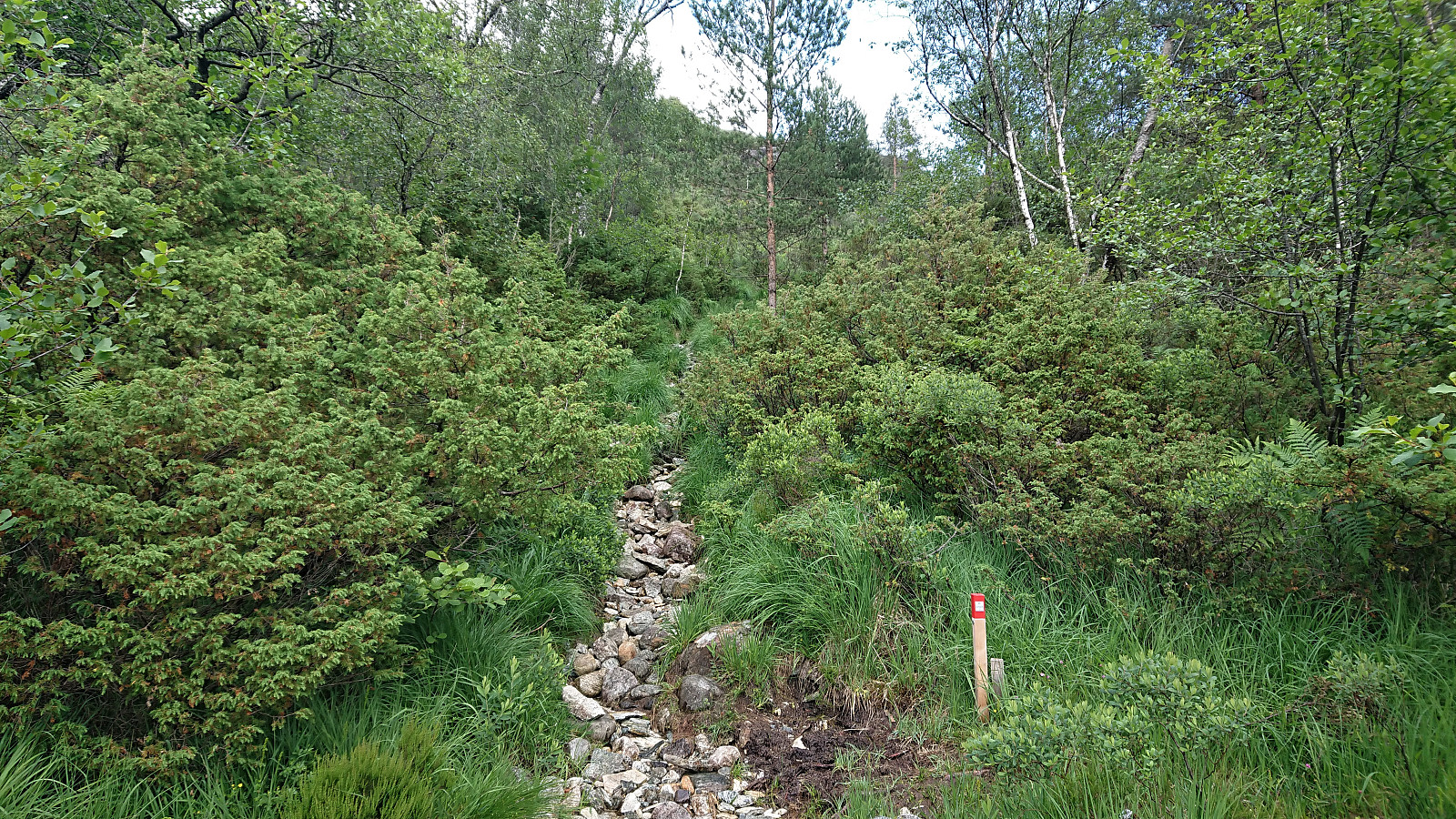
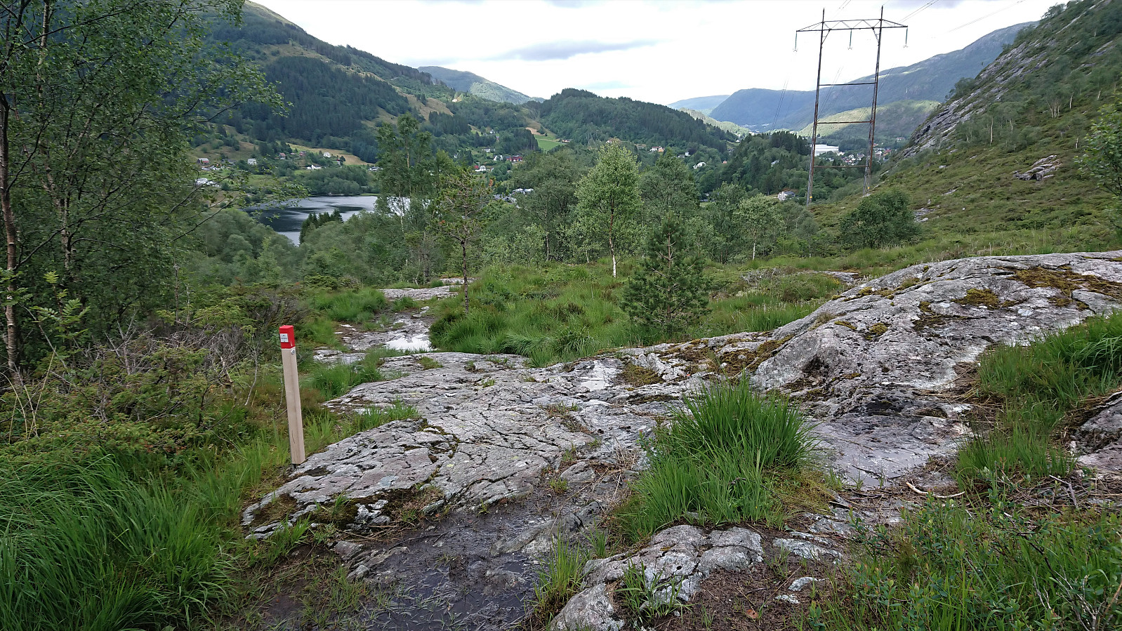
I did not stay on the steep road for long though, and shortly followed the marked trail northeast, still pretty steep until flattening out when getting closer to the summit of Birkelandsfjellet. Note that the trail does not pass by the summit itself, but it can easily be reached by a short detour. But given its very limited views, I am not sure many hikers will feel the need.
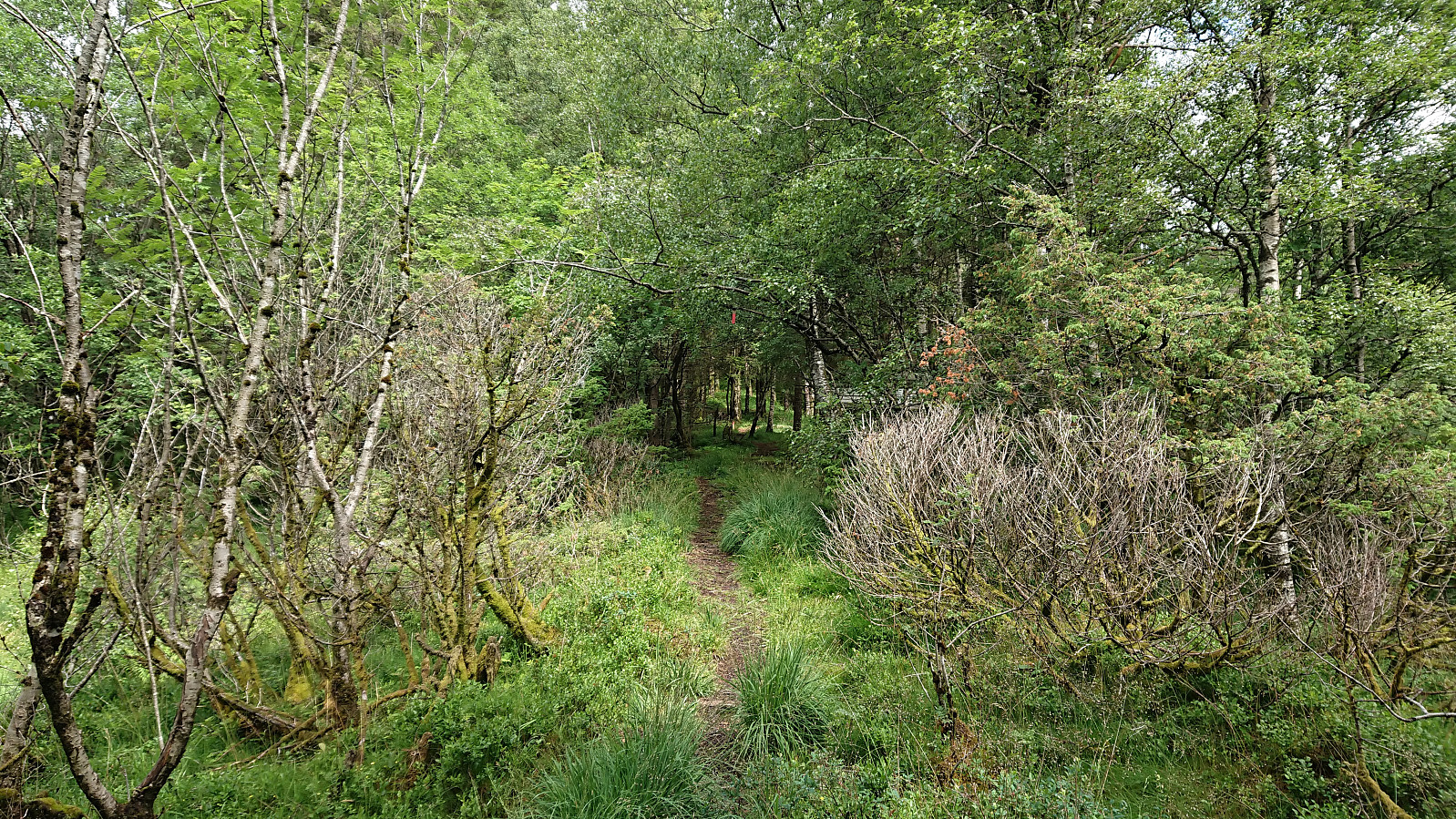
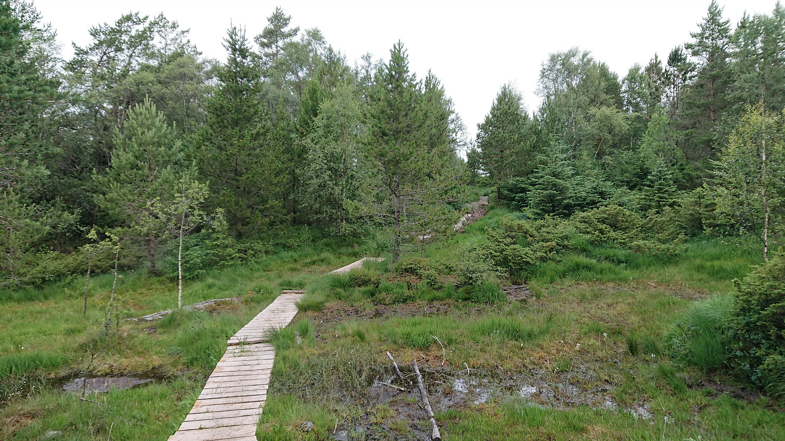
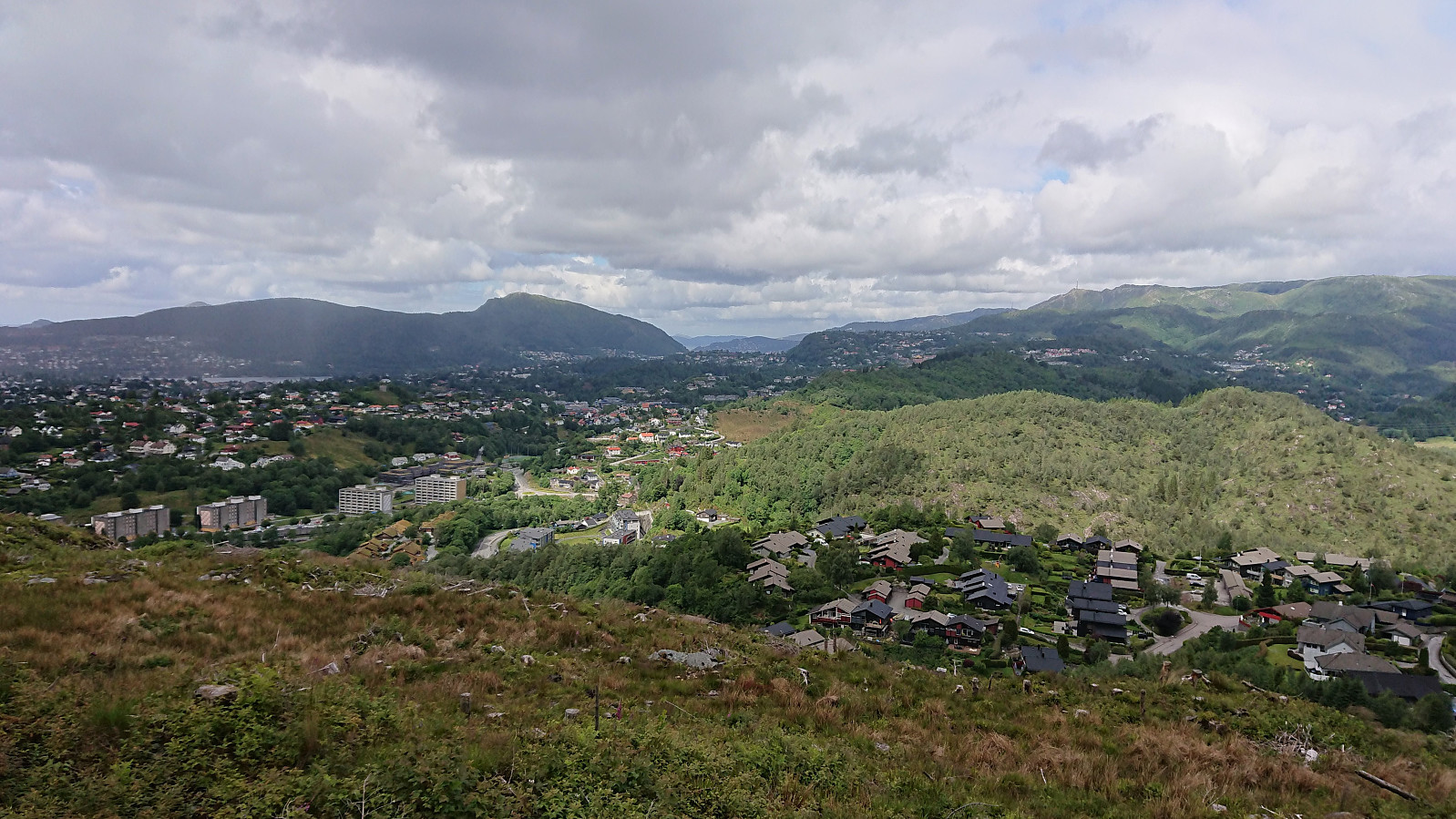
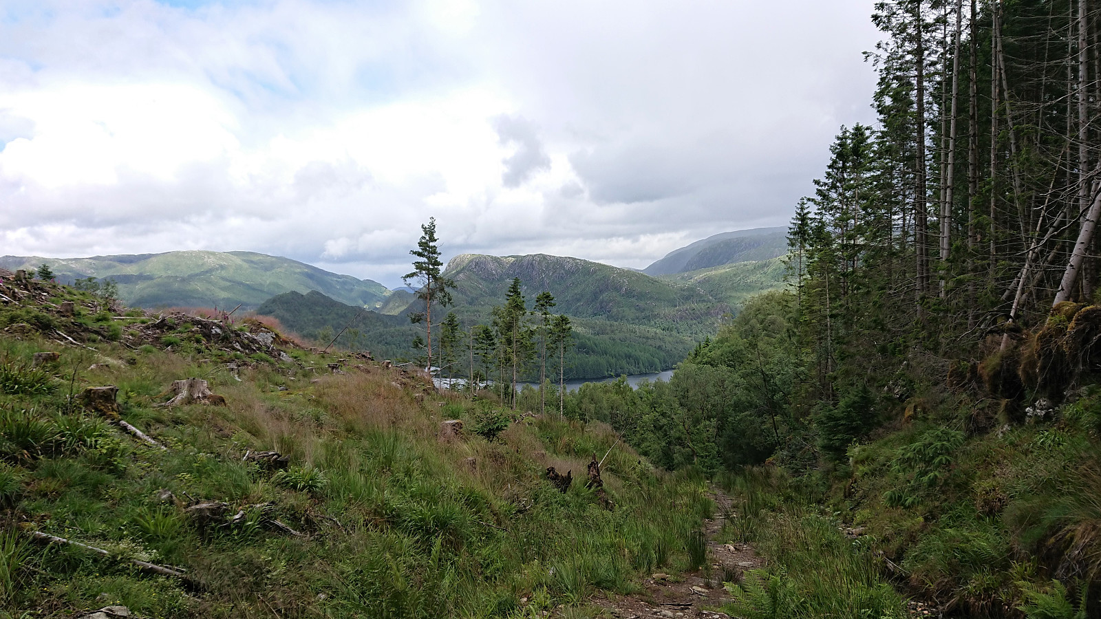
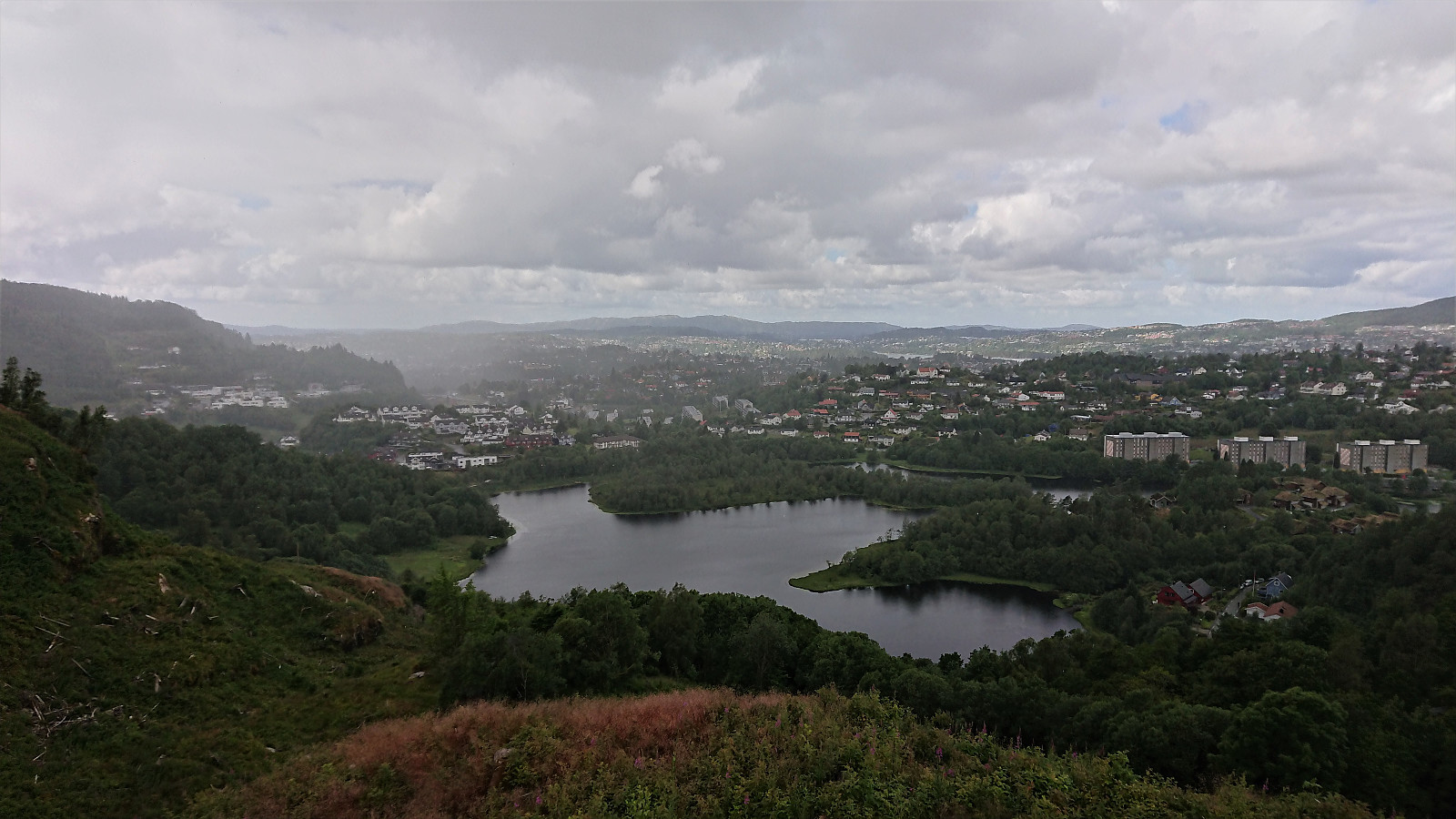
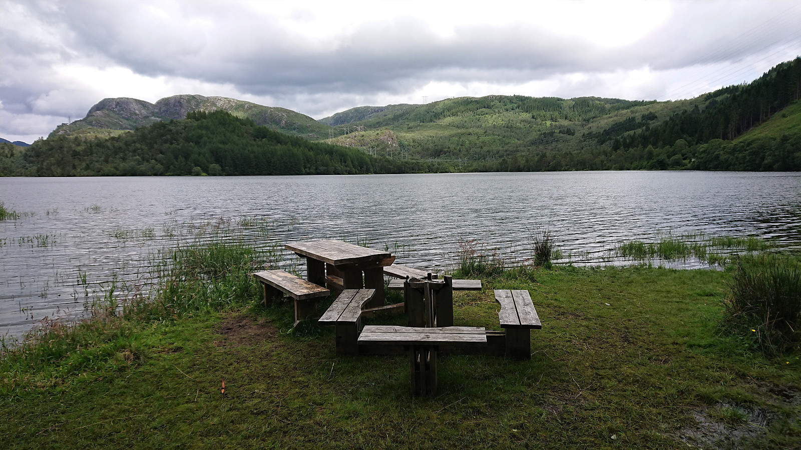
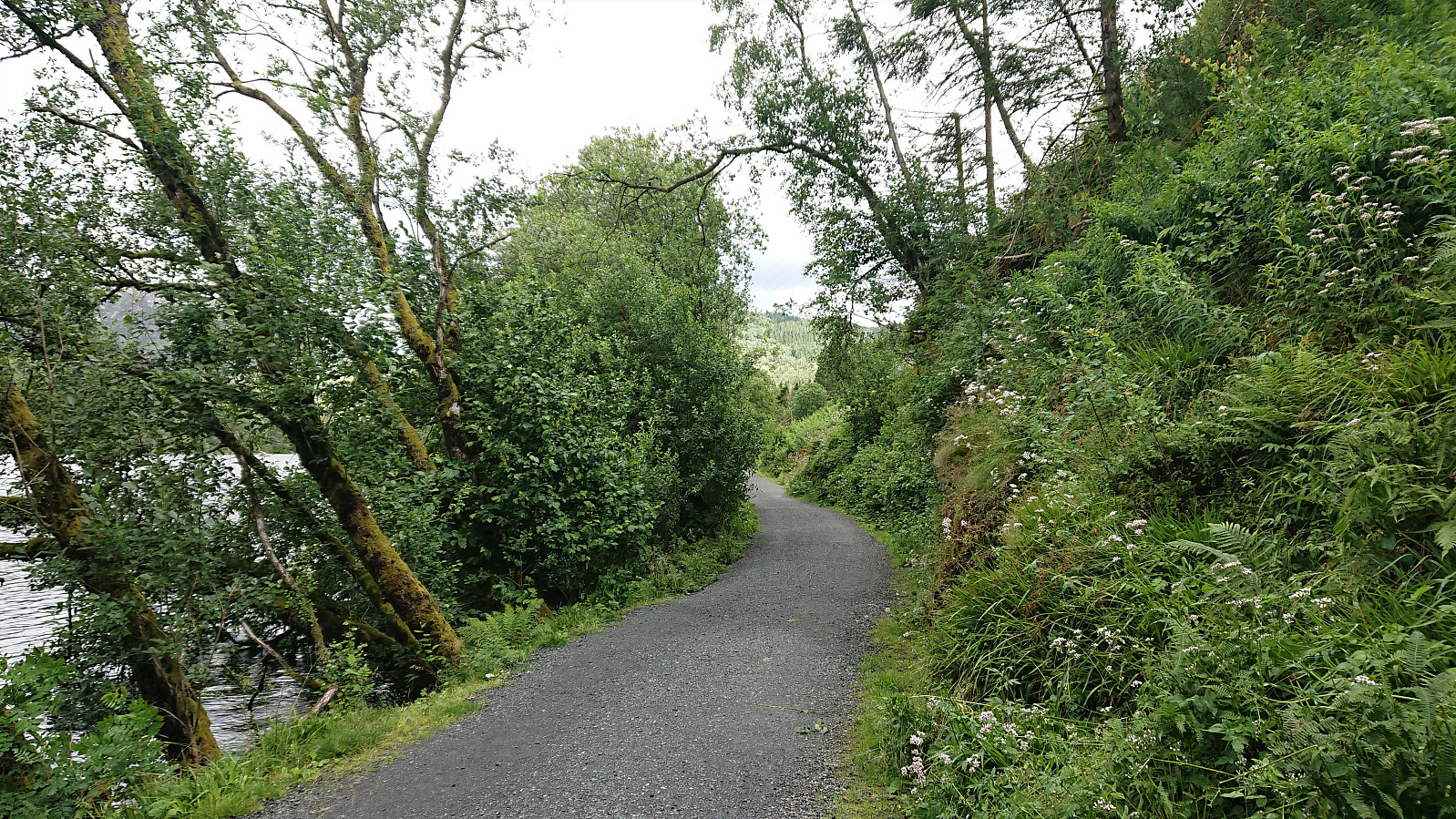
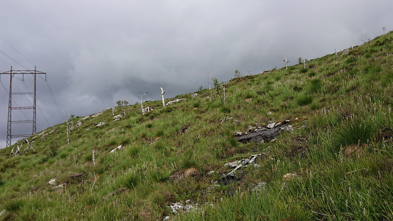
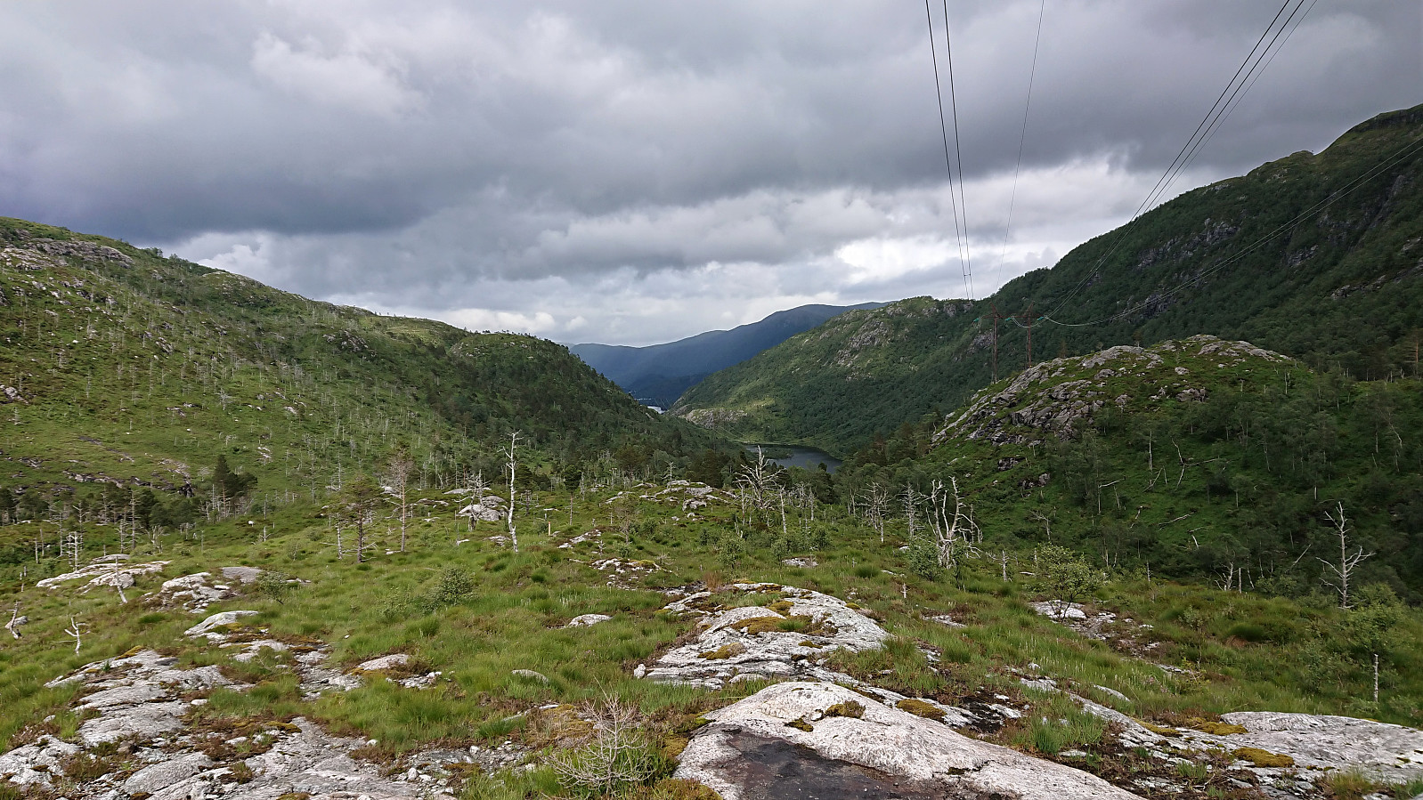
So far, the trail quality had been ok. And while there were a couple of wet areas, there were also lots of small wooden bridges for most of the extended wet sections. The trail soon turned into a wet dirt road, then into a decent tractor road, and finally into a gravel road just before reaching Bjøllebotn. From both the tractor road and the gravel road, there were excellent views, both north in the direction of the city center and northeast to Myrdalsvatnet and the mountains beyond.
The third stage was concluded by following the road down to the parking lot at Myrdalsvatnet. In total, I spent just under 45 minutes on this short stage, which overall felt more like a transportation stage between the end of Stage 2 and the start of Stage 4 than its own separate stage. The nice views from above Bjøllebotn being the clear highlight.
Stage 4: Myrdalsvatnet to Søylen
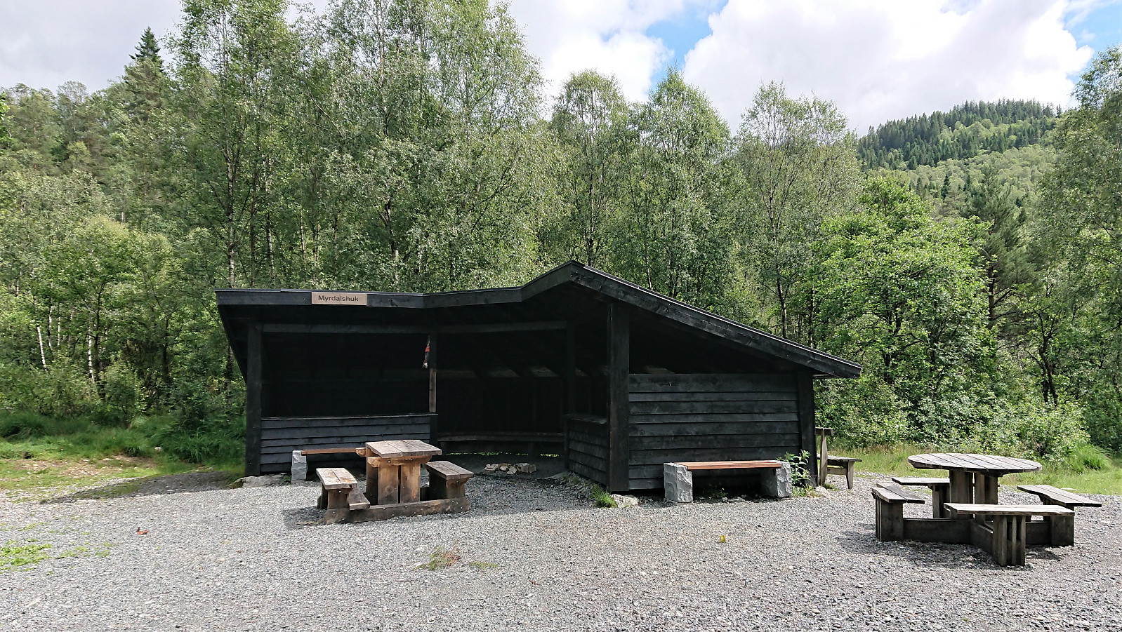
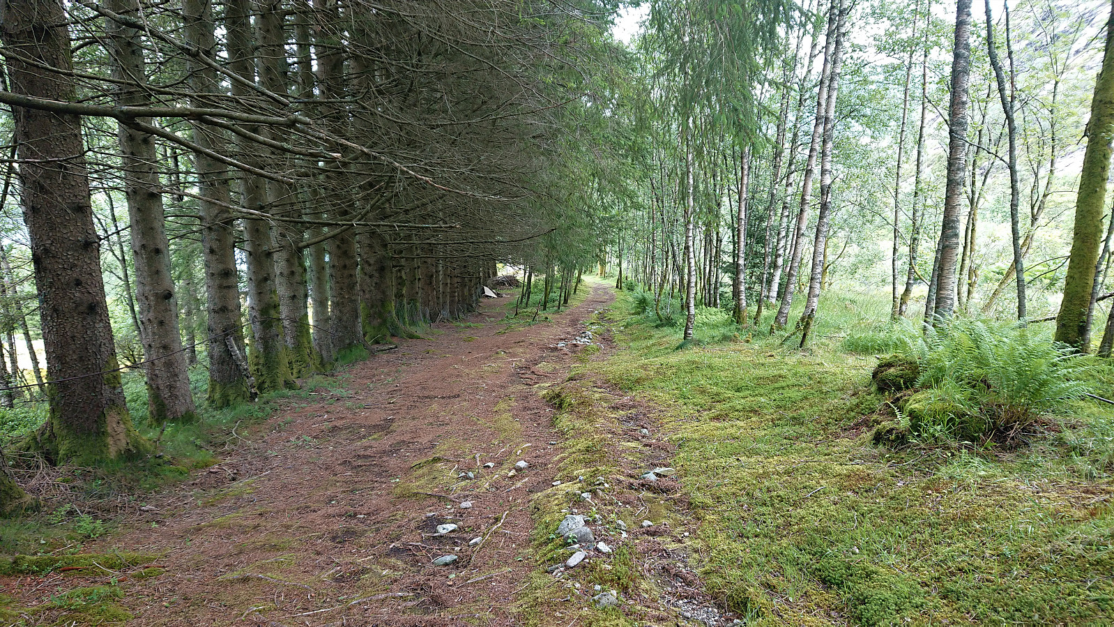
The fourth stage started out following the gravel road along Myrdalsvatnet. Before reaching the end of the gravel road I made a short detour to Myrdalshuk, which could have been a fitting place for a lunch break if it had not come this early in the hike. I therefore returned to the road and continued north, soon leaving the gravel road for a wet tractor road, and later an even wetter trail.
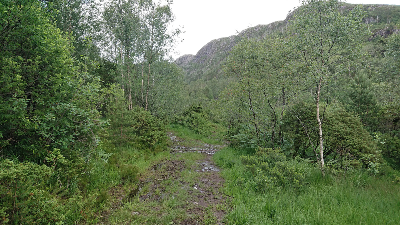
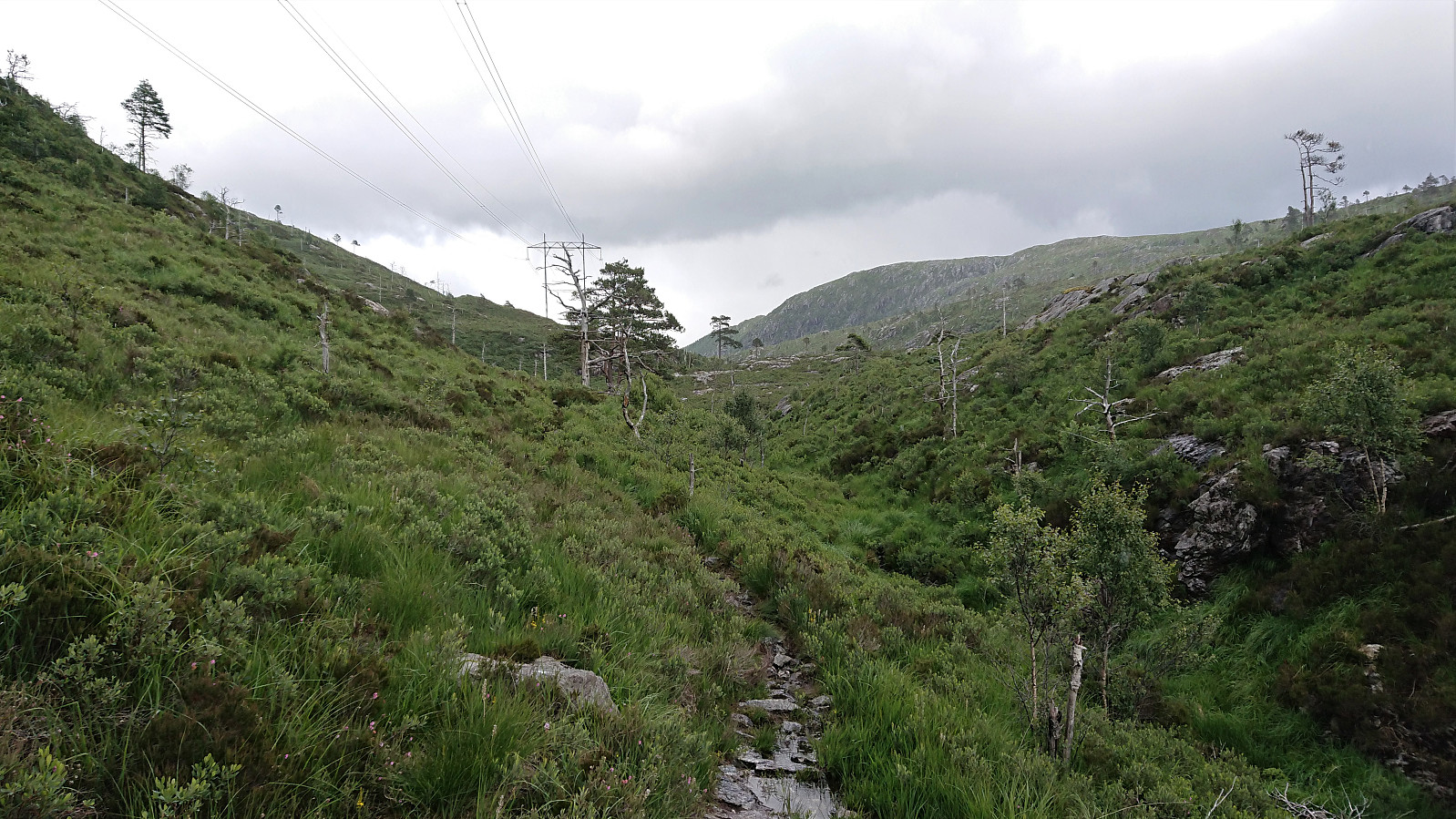
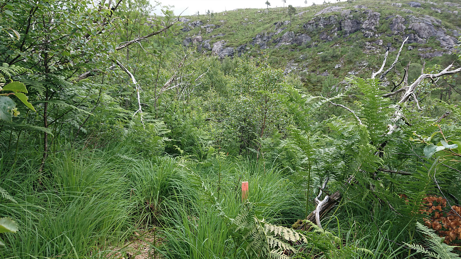
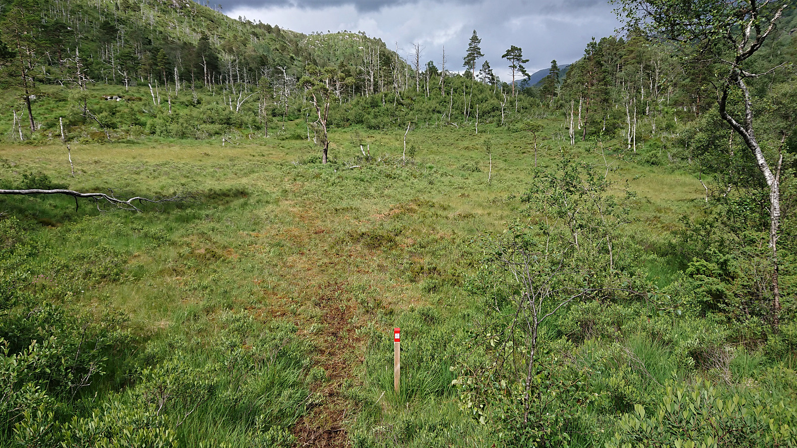
As I entered Furedalen, the trail quality was highly variable, and at times the trail more or less disappeared. And while the trail markers here occurred slightly more frequently, there were also sections where they were quite far apart, especially when the trail itself was not always that clear, which at one time resulted in me having to backtrack a bit to reconnect with the marked trail.
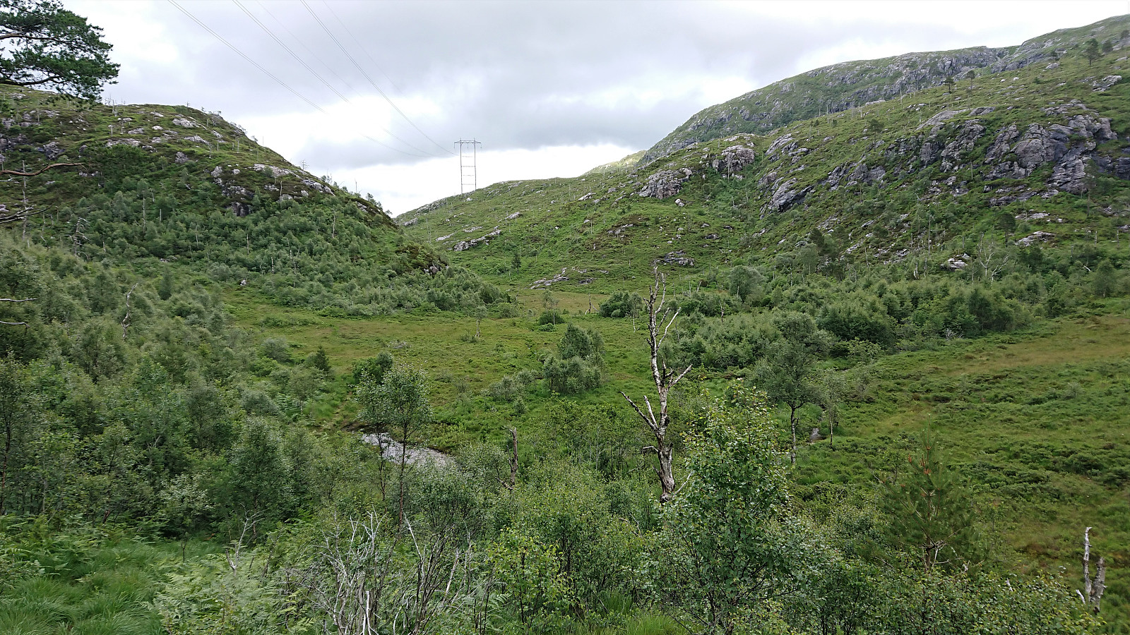
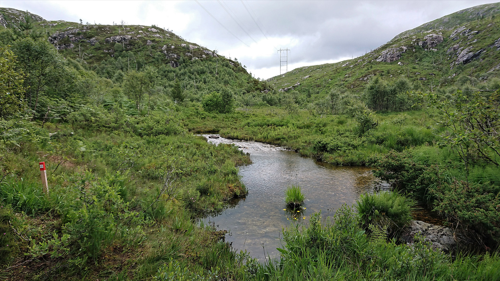
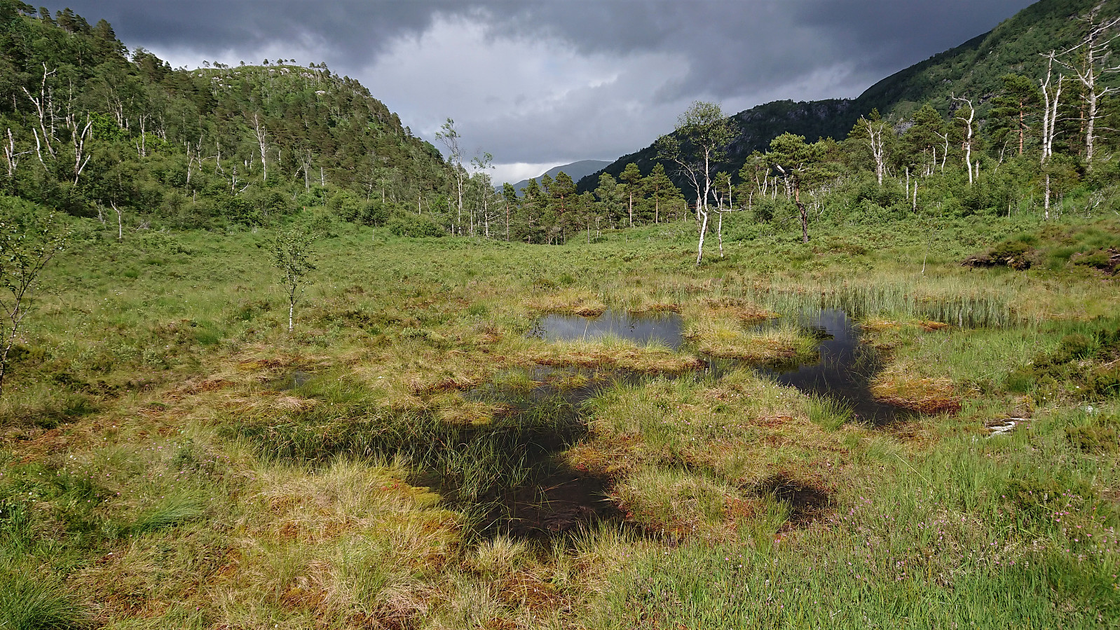
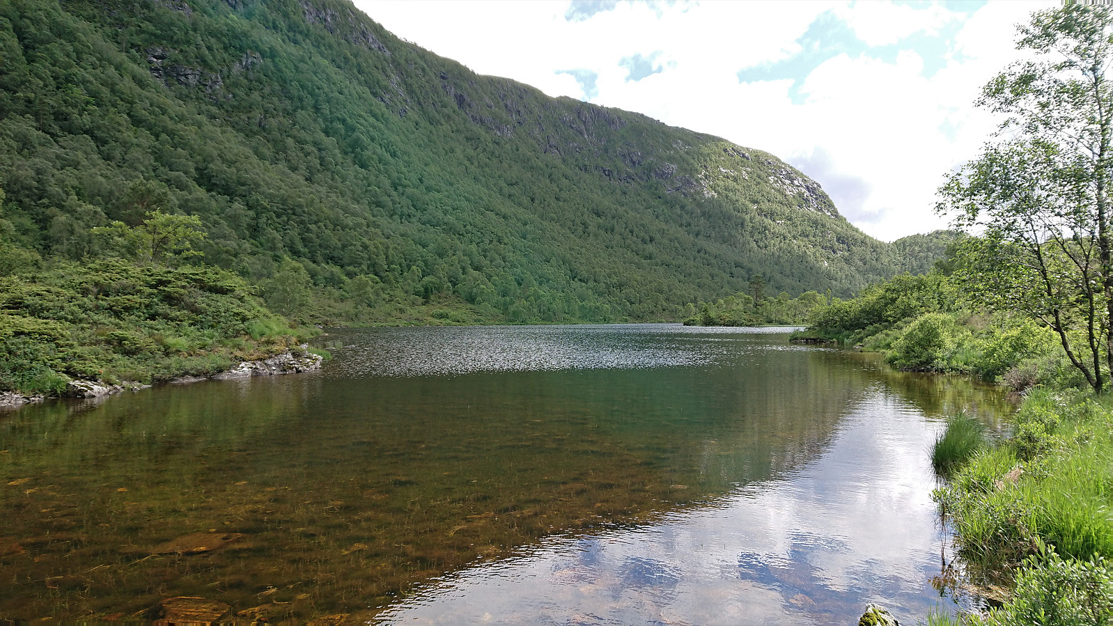
Upon reaching the top of the pass, I had a quick lunch break before starting the descent to Søylen. Also here the trail was of highly variable quality and the distance between the trail marker often too long. In fact, the trail markers generally functioned more as a reminder that I was actually on the marked trail, than as something that could be used for navigation. The trail quality did not really improve until I reached Furedalsvatnet, and even here the trail was still rather wet.
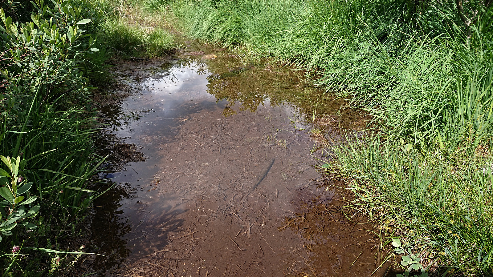
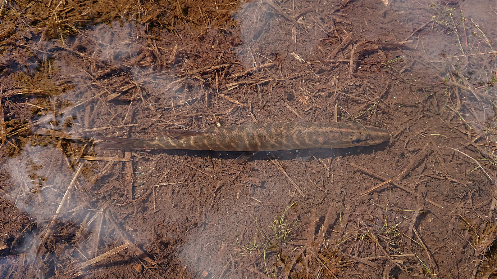
In multiple previous trip reports I have used versions of the term "felt more like a stream/river than a trail", but I have never experience what I did when following the trail next to Furedalsvatnet. In one of the small puddles in the middle of the trail I almost stepped on a fish! How it had gotten there I am not sure, as the puddle did not seem to connect with the river itself. It probably got trapped when the water levels dropped. As far as I could tell it was a pike (Norwegian: gjedde) of about 20 centimeters. It did not seem too interested in me, but it did rapidly swim away when I got too close to it. Definitely an unusual experience when walking on a marked trail!
The trail quality improved even further as I left Furedalsvatnet behind and started the final descent to Søylen. There was even a tractor road towards the end. As I reached the main road the stage came to an end, with bus stops on both sides of the road. I chose the one on the opposite side of the road, and only waited 15 minutes for the bus to Nesttun.
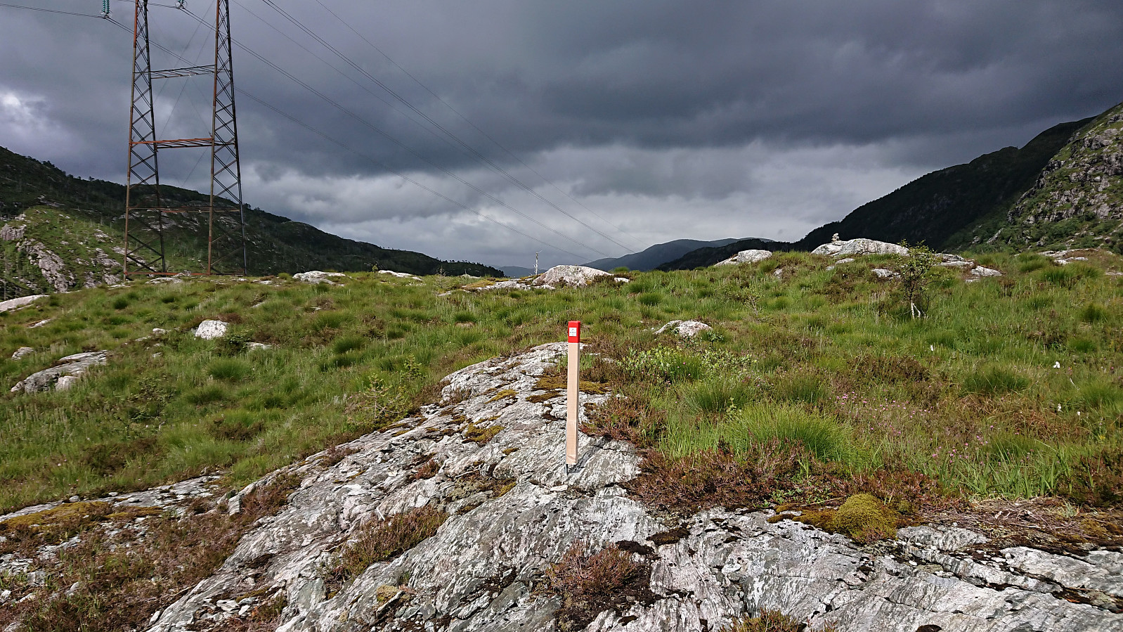
In total, I used around two hours on Stage 4. Not sure how to rate the enjoyment though. The trail quality is best described as variable and the trail marking as inconsistent. And the fact that most of the trail, in the otherwise enjoyable Furedalen, is following the overhead power lines does ruin the experience somewhat. I would rather have preferred following the ridge across Skavdalsfjellet.
Conclusion
In summary, neither stage cannot be very highly recommended. Neither are bad though, and if keeping the expectations low with regards to trail quality, the latter stage does take you through an interesting area that one would probably not have visited otherwise. I cannot guarantee that the fish will still be there though. ;)
| Starttidspunkt | 08.07.2020 13:43 (UTC+01:00 ST) |
| Sluttidspunkt | 08.07.2020 16:35 (UTC+01:00 ST) |
| Totaltid | 2t 52min |
| Bevegelsestid | 2t 40min |
| Pausetid | 0t 12min |
| Snittfart totalt | 3,5km/t |
| Snittfart bevegelsestid | 3,8km/t |
| Distanse | 10,1km |
| Høydemeter | 476m |


Kommentarer