
Bergen: Jubileumsstien (Stage 1 and 2) (07.07.2020)

Geschrieben von hbar (Harald Barsnes)

| Startpunkt | Krokeide (47m) |
|---|---|
| Endpunkt | Valle (147m) |
| Tourcharakter | Bergtour |
| Tourlänge | 4h 02min |
| Entfernung | 13,2km |
| Höhenmeter | 724m |
| GPS |
|
| Besteigungen | Folldalshaugane (300m) | 07.07.2020 |
|---|---|---|
| Hamrefjellet (280m) | 07.07.2020 | |
| Lyseskarfjellet (313m) | 07.07.2020 | |
| Storemunken (191m) | 07.07.2020 | |
| Besuche anderer PBE | Halvkvila (268m) | 07.07.2020 |
| Klyftasteinane (271m) | 07.07.2020 | |
| Orrhaugane (168m) | 07.07.2020 | |
| Trollbu (269m) | 07.07.2020 | |
| Storemunken utsiktspunkt (189m) | 07.07.2020 |
Bergen: Jubileumsstien (Stage 1 and 2)
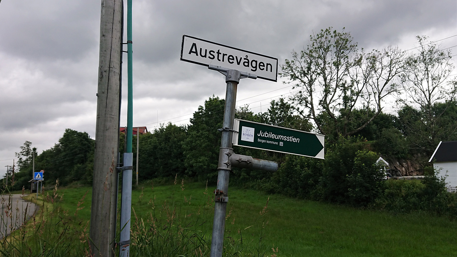
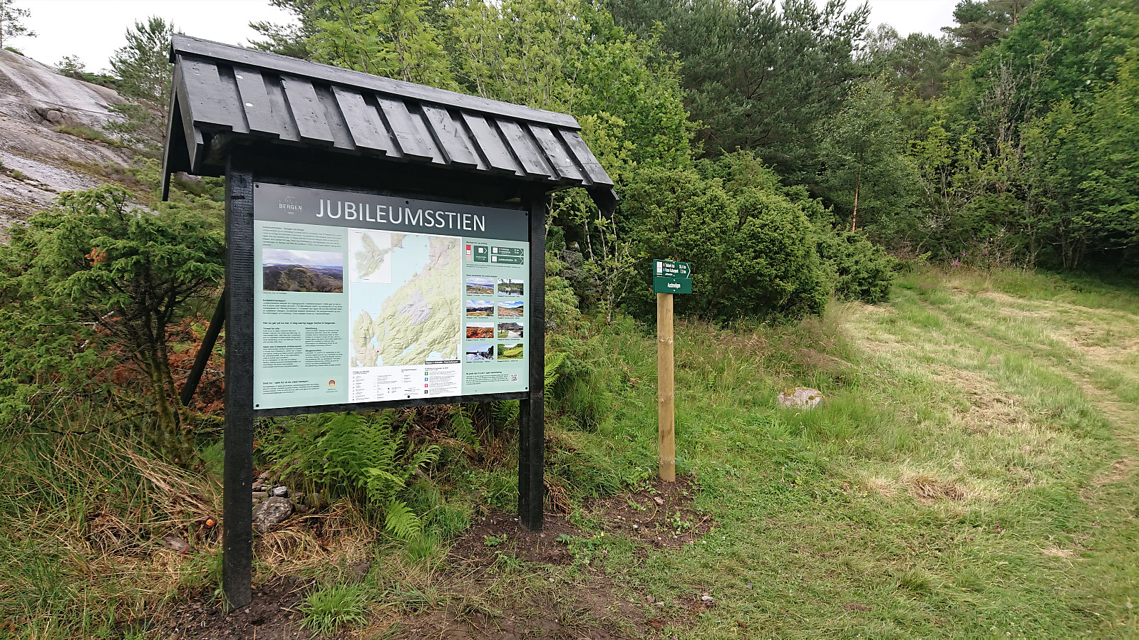
Jubileumsstien
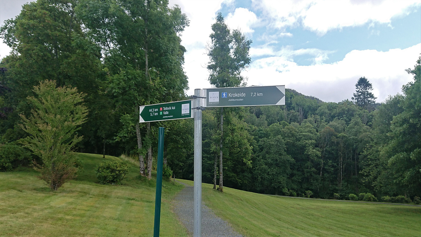
With the weather being too unstable for proper mountain hiking, I decided to instead have a go at Jubileumsstien. This is a new trail (or mainly a combination of existing trails) that makes it possible to hike across Bergen, from Krokeide in the south to Tellevik in the north, a total distance of about 55 km. I was only doing the two first stages today though, i.e. from Krokeide to Valle.
Stage 1: Krokeide to Fana Kulturpark
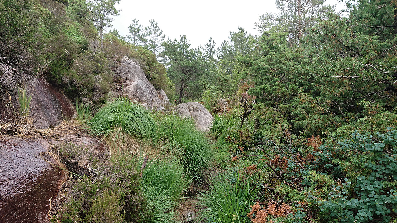
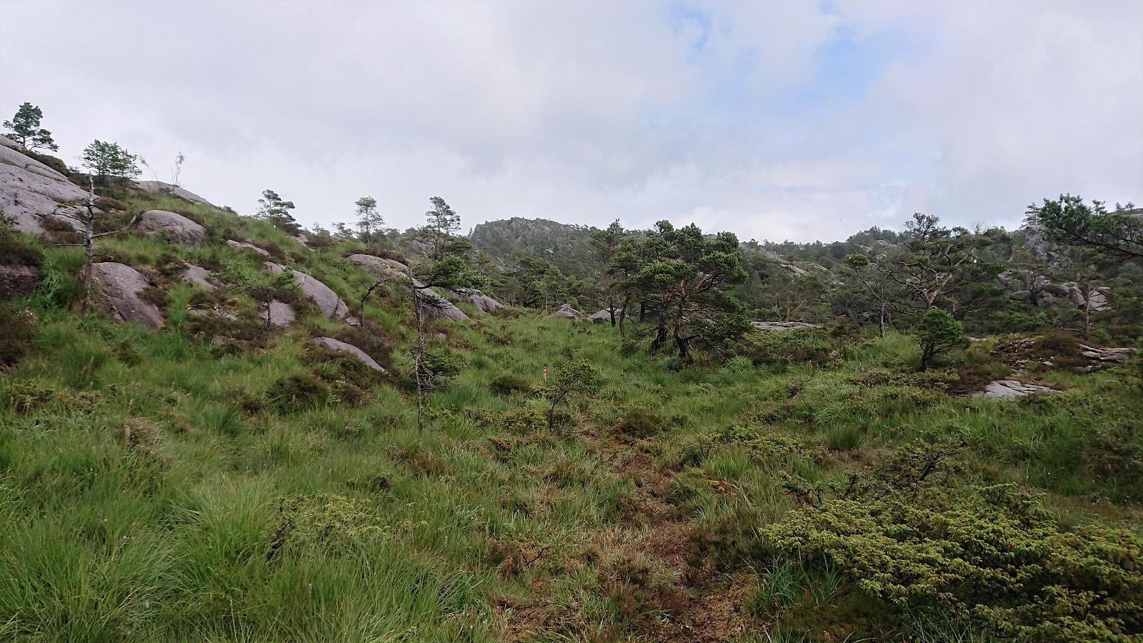
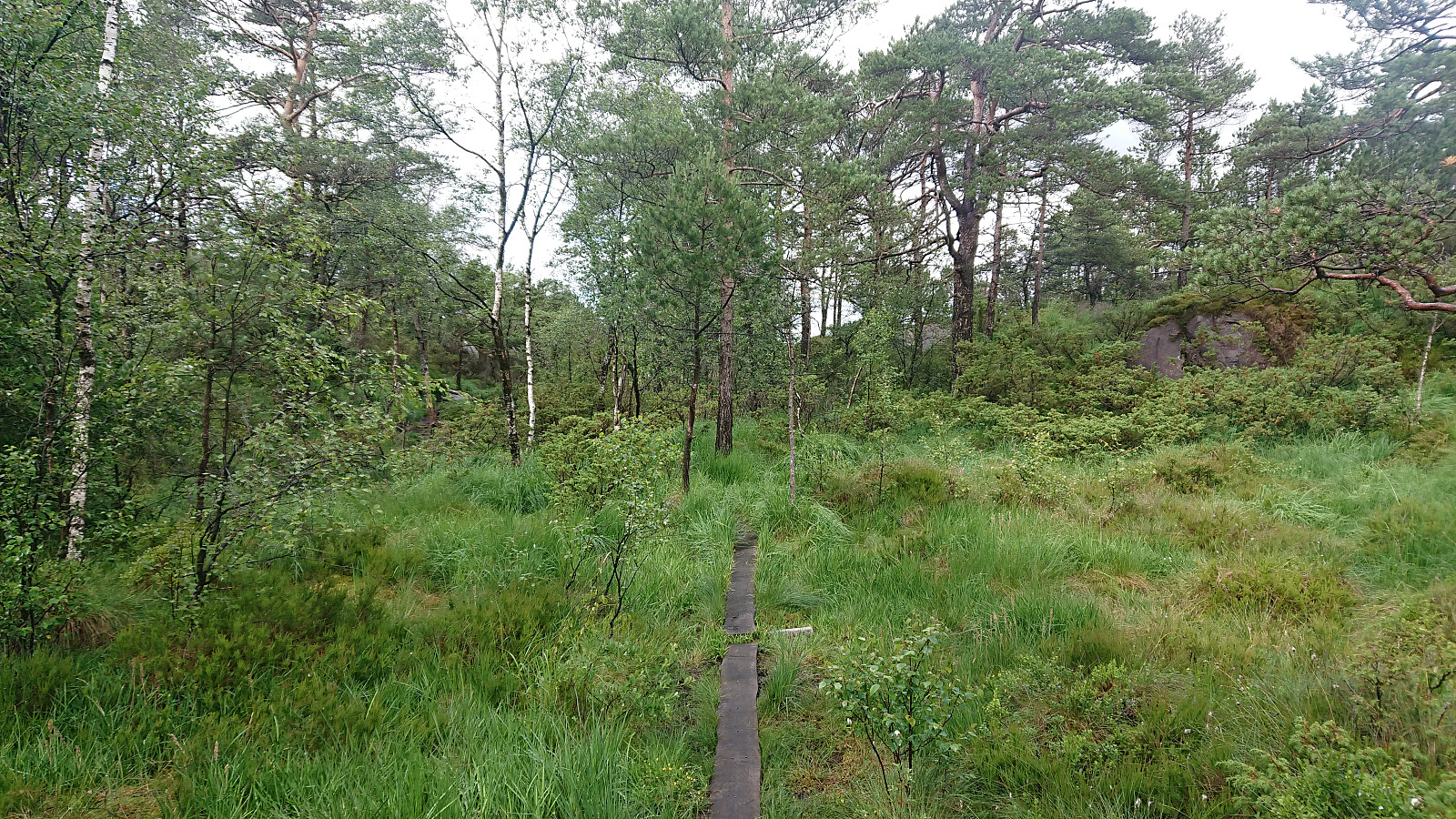
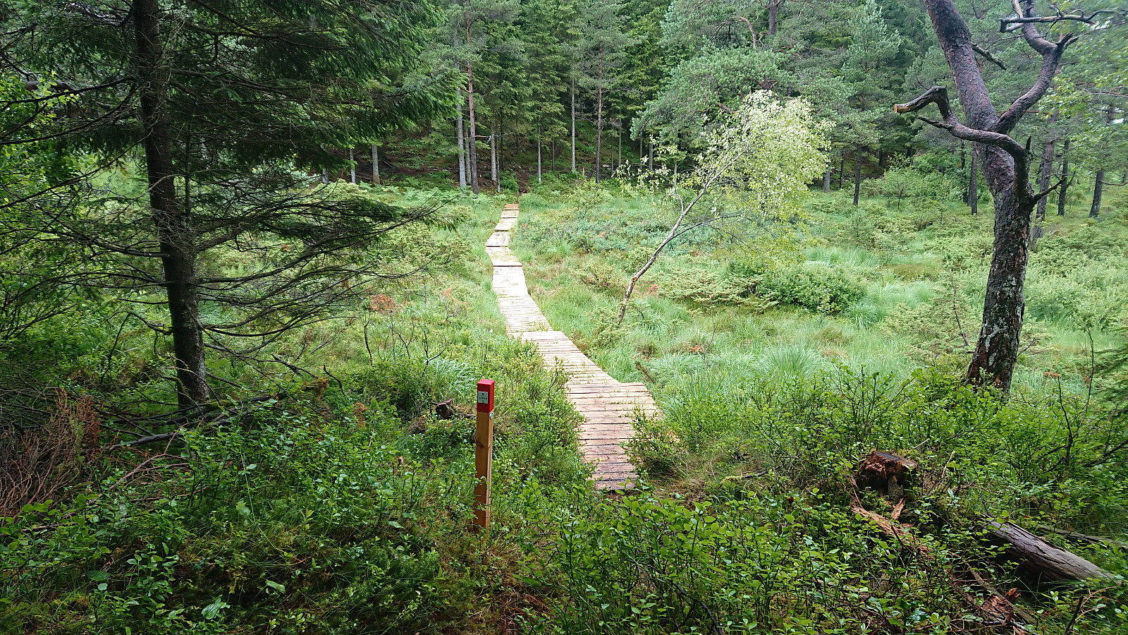
I started by taking the bus to Krokeide and following the smaller roads east. The trailhead was marked by a small sign, but the larger information sign was not found until the real trailhead at Austrefjorden. Not really sure what I was expecting with respect to trail quality, but I was definitely negatively surprised for the first stage. Very wet and with trail markers being so infrequent that I had actually had to check the GPS on multiple occasions.
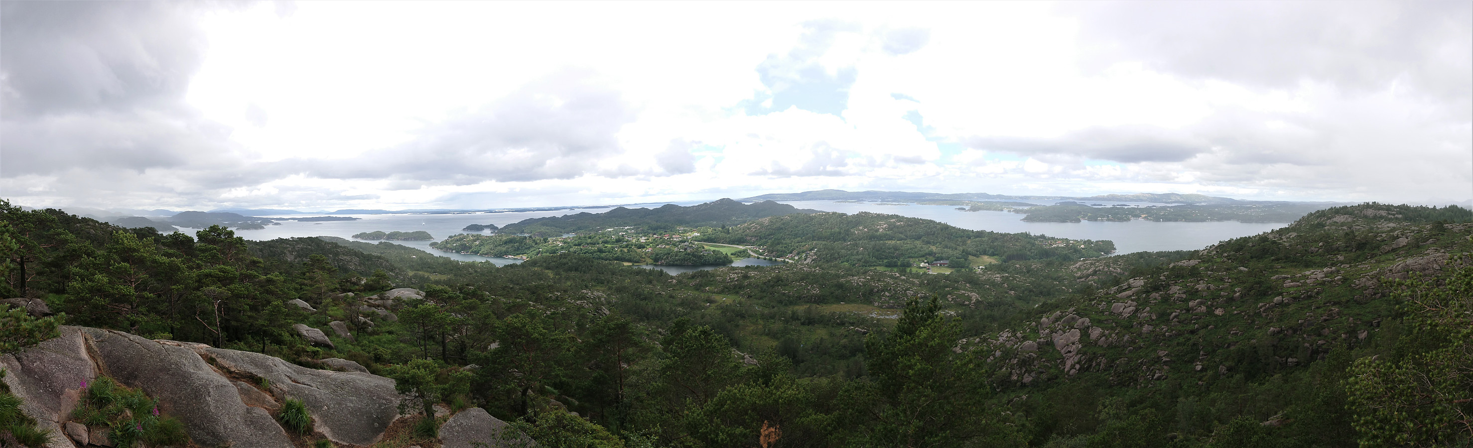
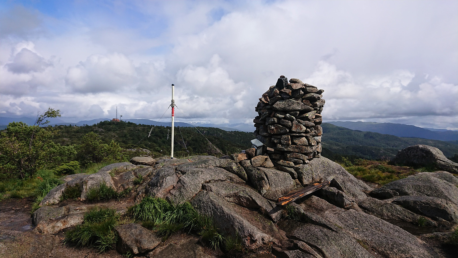
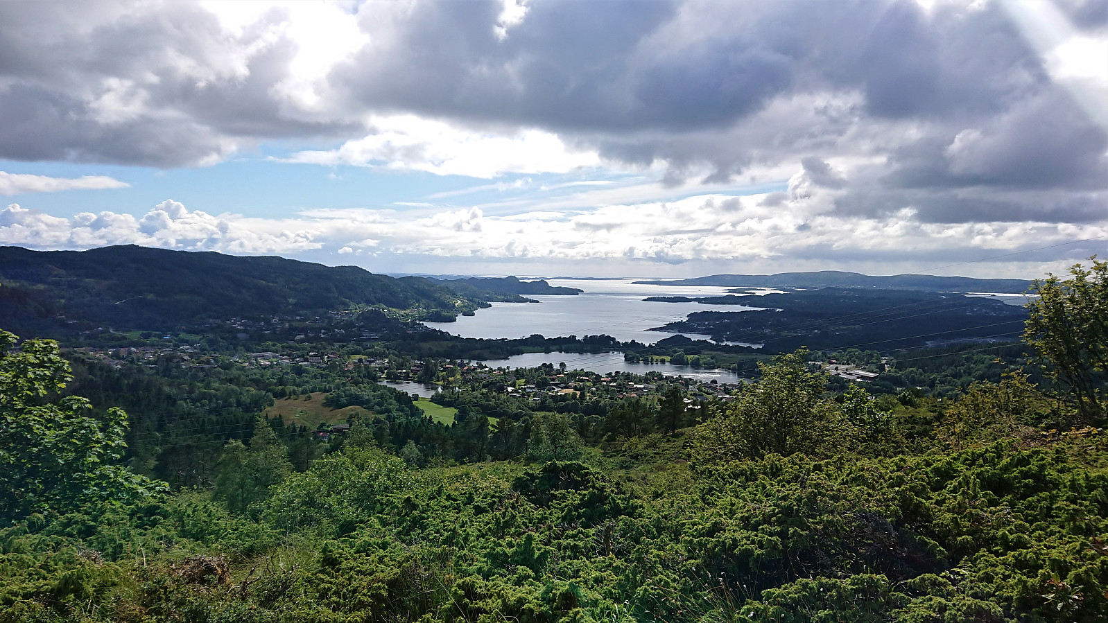
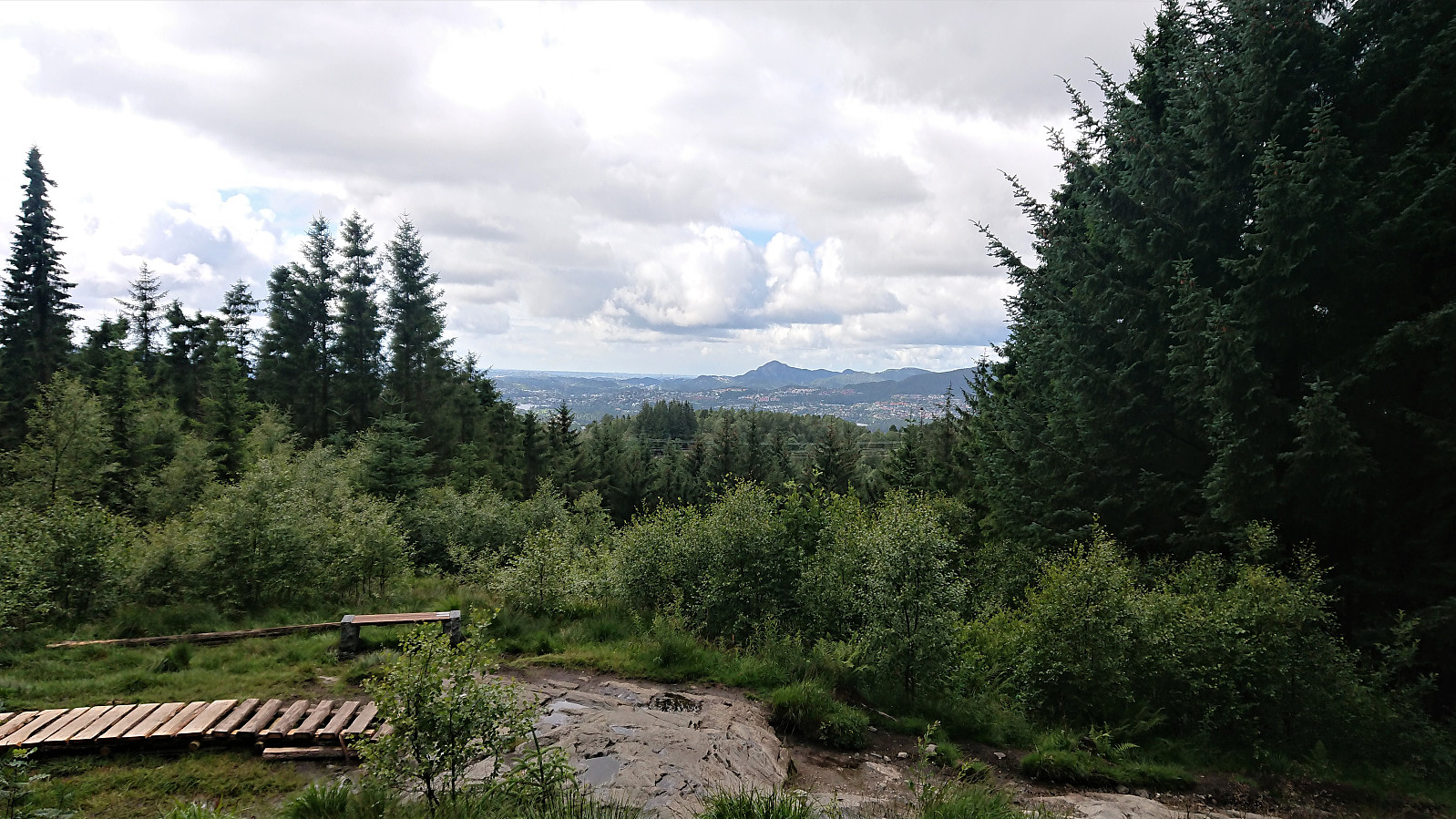
The views were also pretty limited at the start, and were only improved by a short marked detour to Storemunken. A spot that usually would provide excellent views. Today the views were however limited due to the rain. I also made a detour to Folldalshaugane for some great views. Why Folldalshaugane is not included in Jubileumsstien, or at least marked as a suggested viewpoint, I do not really understand. Clearly worth the short extra distance.
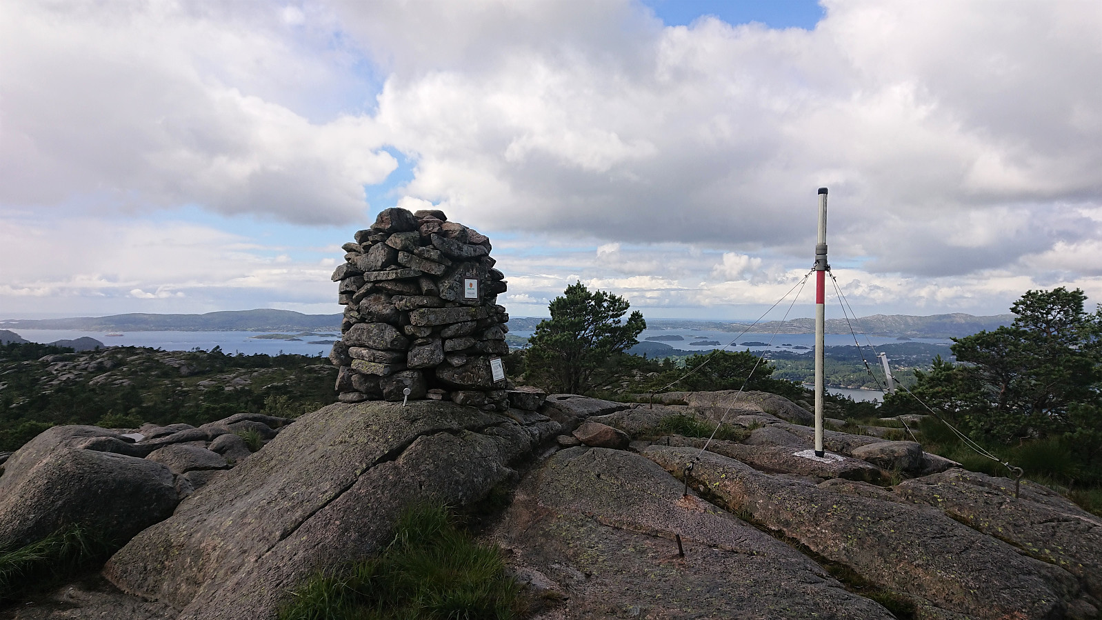
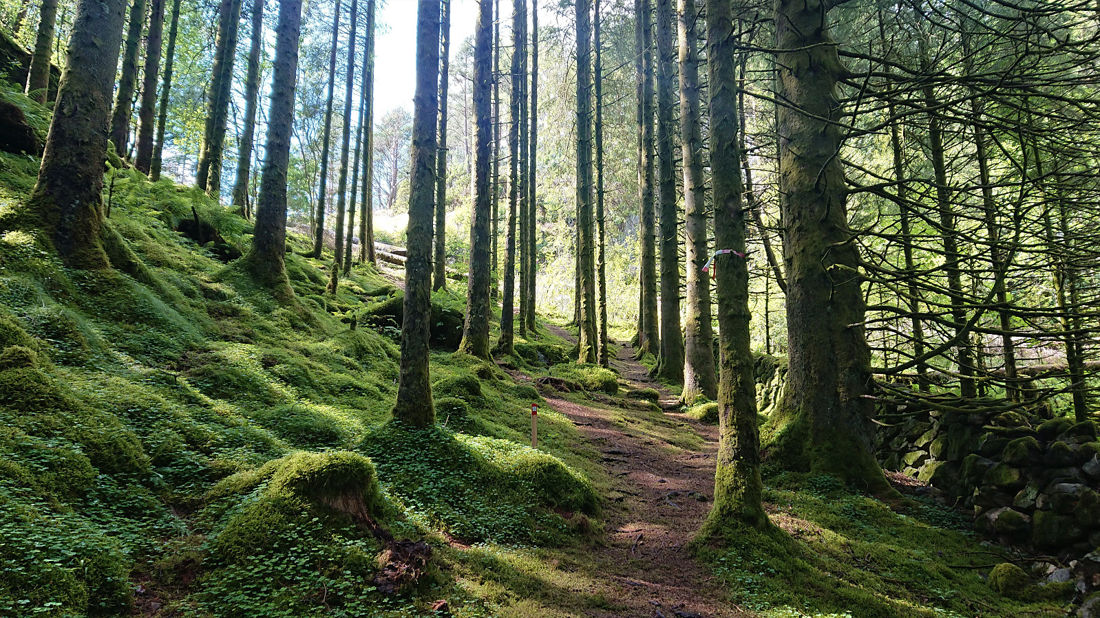
Lyseskarfjellet is not include as part of Jubileumsstien either, but can also easily be reached by a minor detour. I therefore made a quick visit before returning to the marked trail, which soon left the familiar trail towards Fanasæter to instead head north to Fanastølen. The first part of this trail was not of the best quality, but it got better later on, and while there were still some wet sections, Fanastølen was reached without any issues.
The final stretch of Stage 1 of Jubileumsstien consisted of walking along the roads to Fana Kulturpark. In total, I used about two hours on the first stage, and while there were some excellent views along the way, the overall poor trail quality resulted in a hike that cannot really be recommended. But if doing this hike, I would suggest doing it in the opposite direction, as then one walks towards the nice views instead of away from them.
Stage 2: Fana Kulturpark to Valle
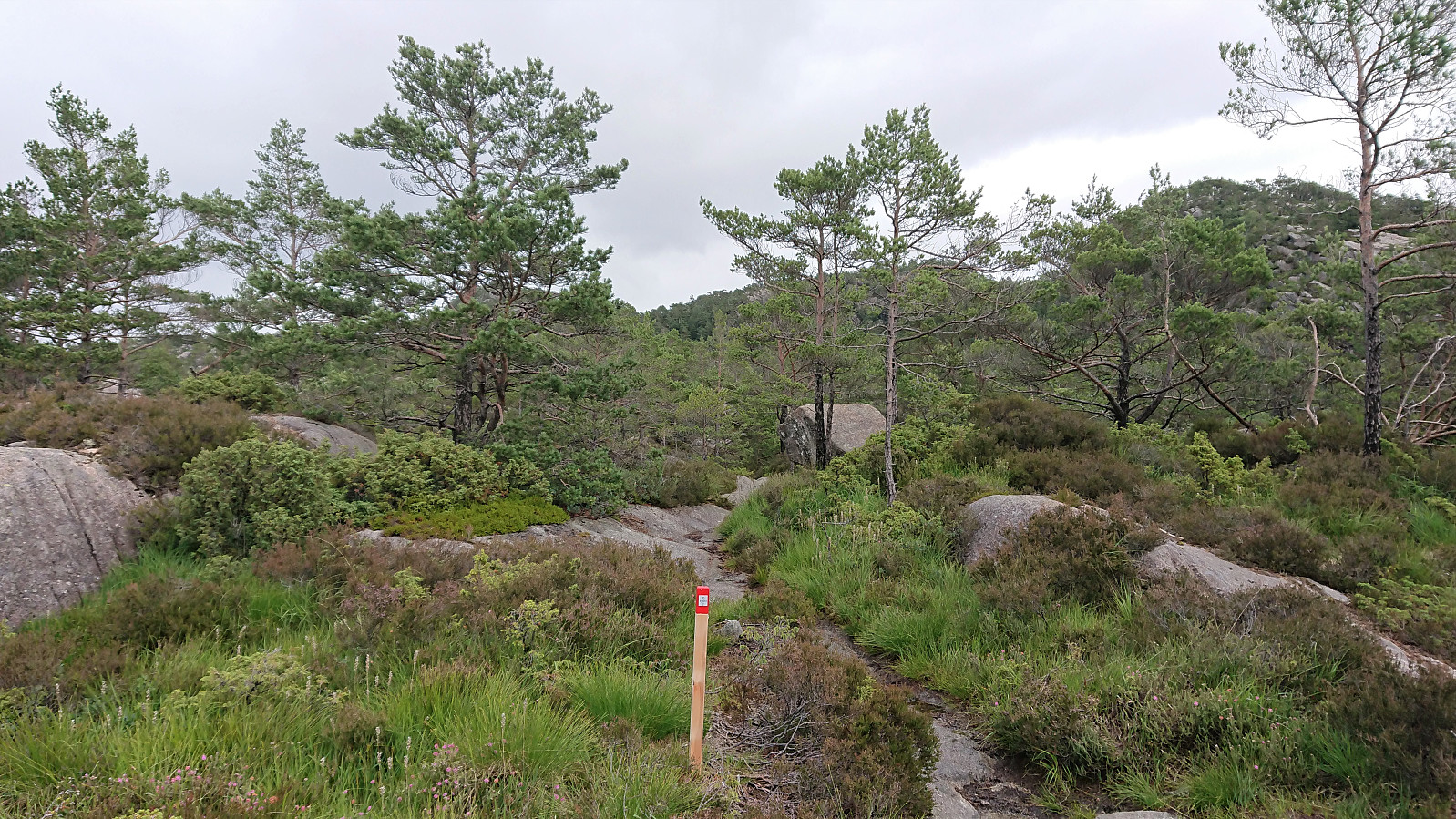
Hoping that the next stage would be better, I set out northeast towards Klokkarvatnet, where I easily located the trailhead (the route is also partially marked all the way from Fana Kulturpark) and started my ascent towards Hamrefjellet. The trail quality was overall much better than for the first stage, and the trail makers significantly more frequent, i.e. no need to confer with the GPS this time around.
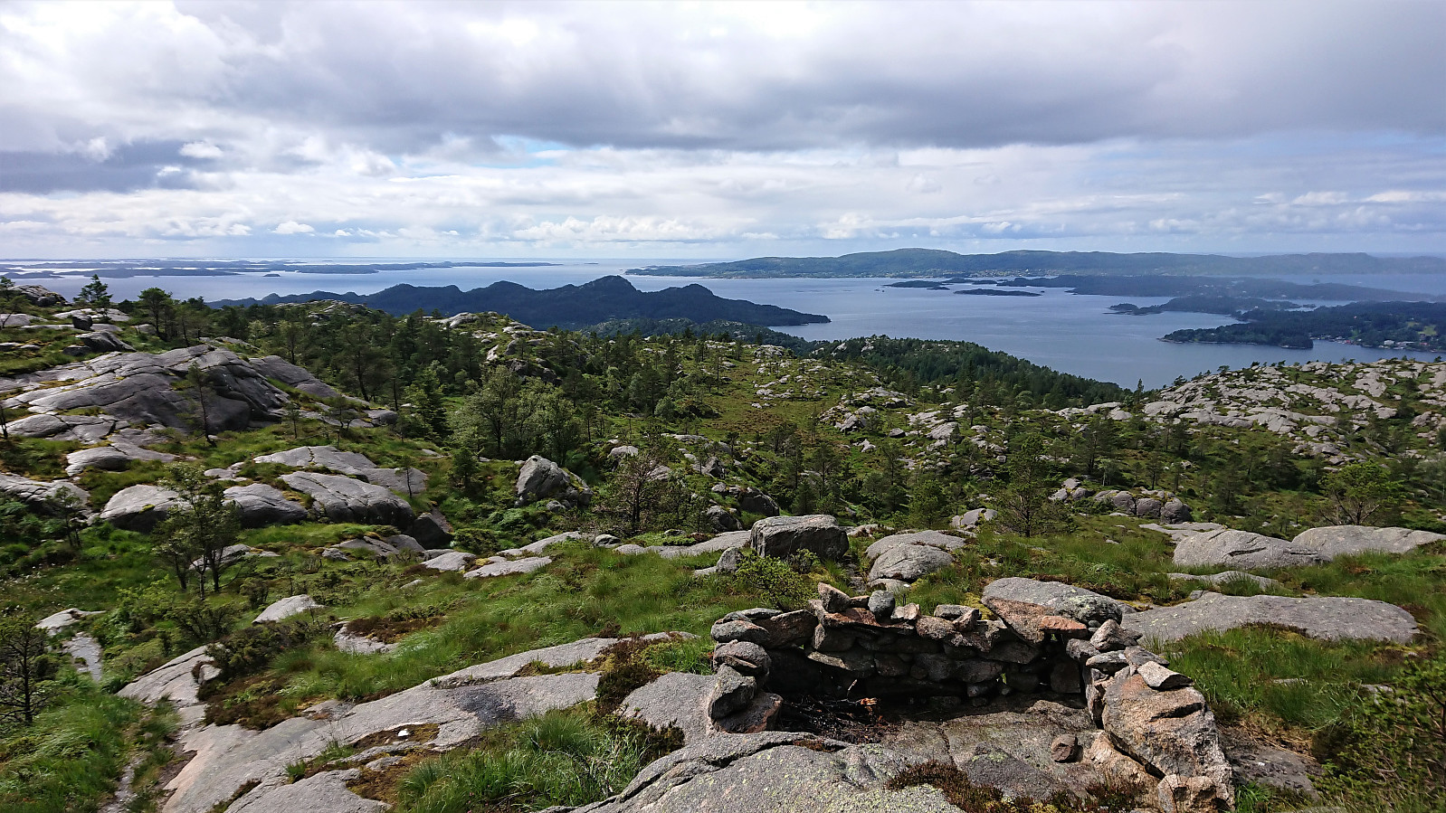
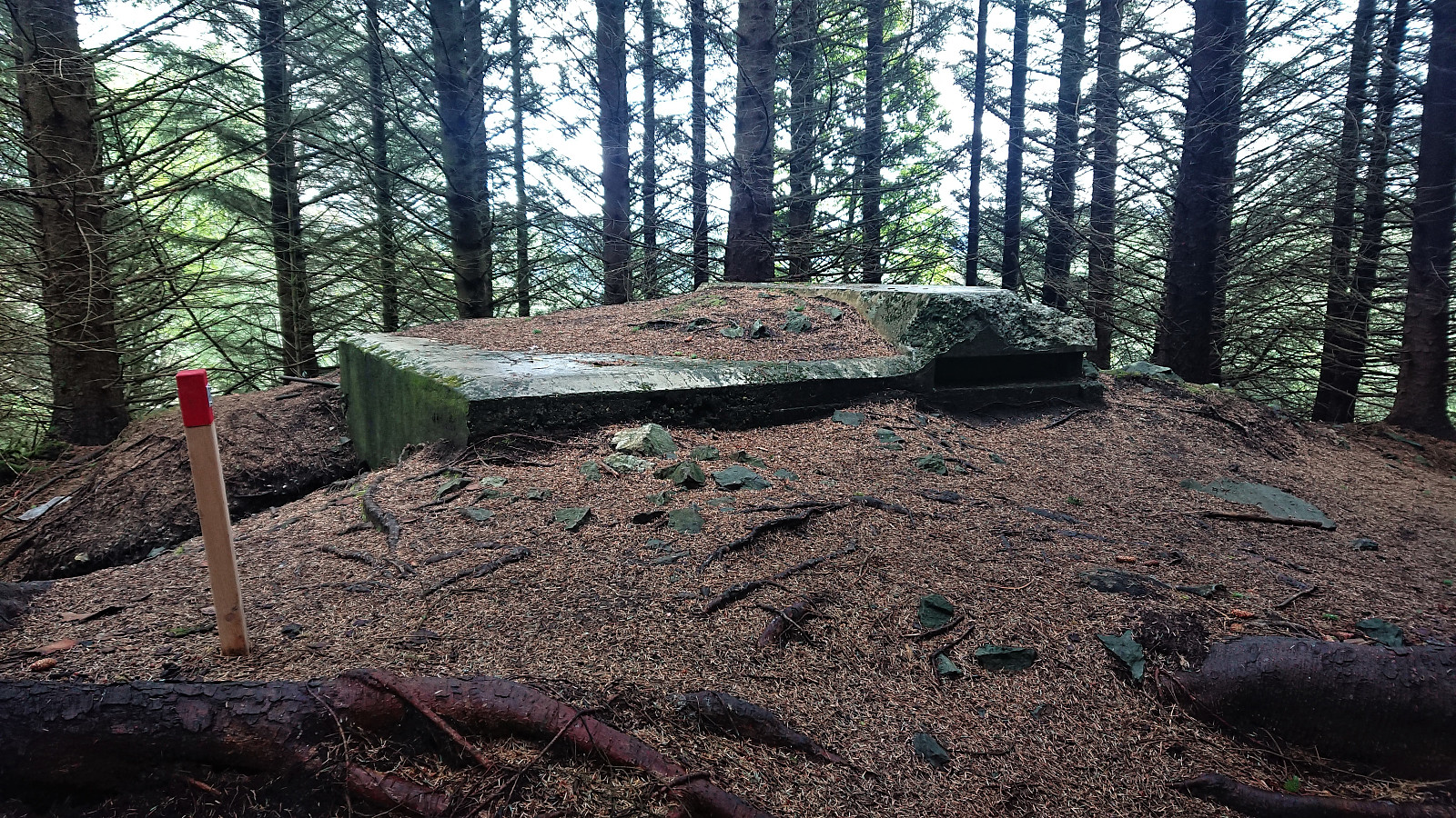
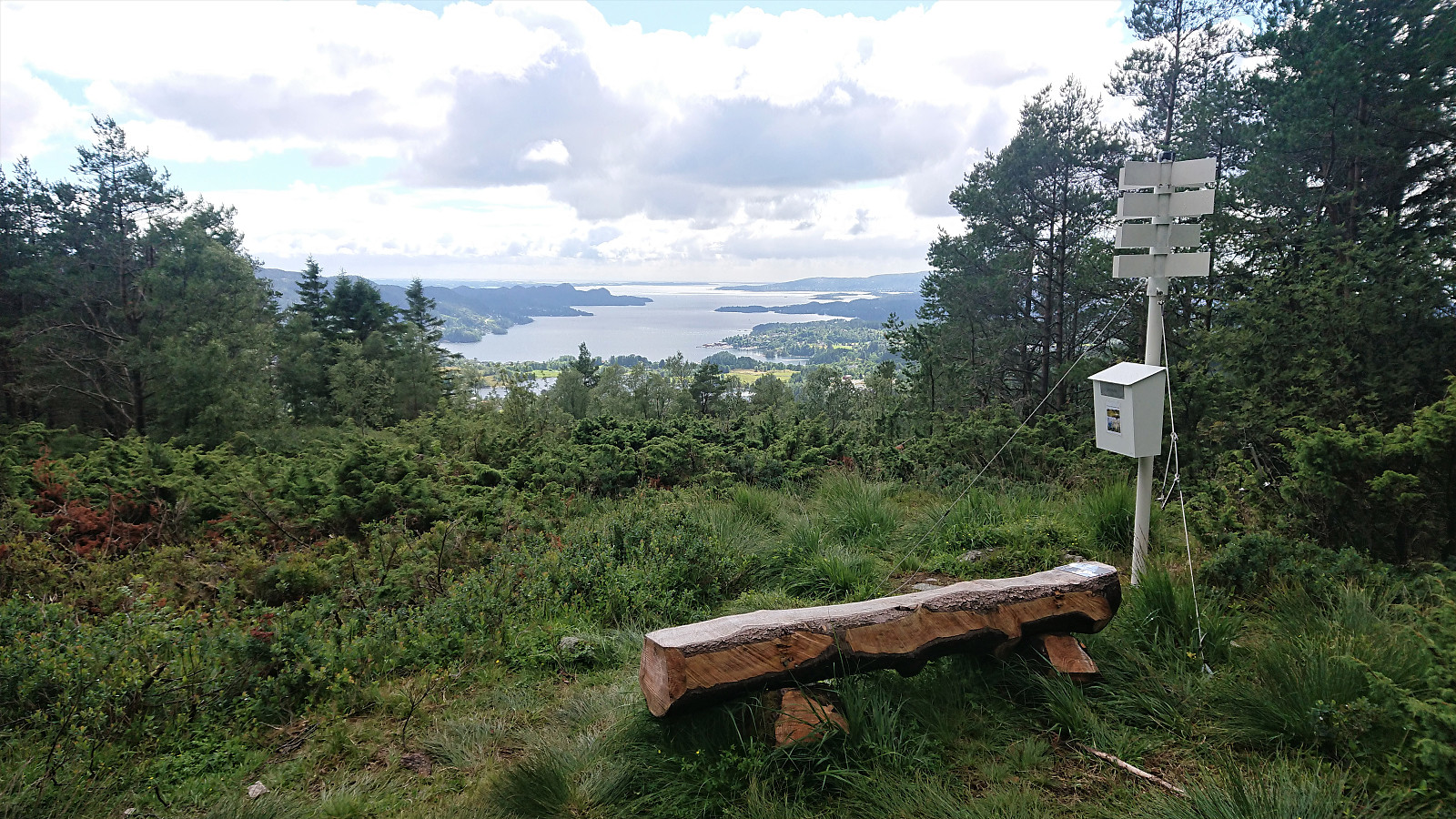
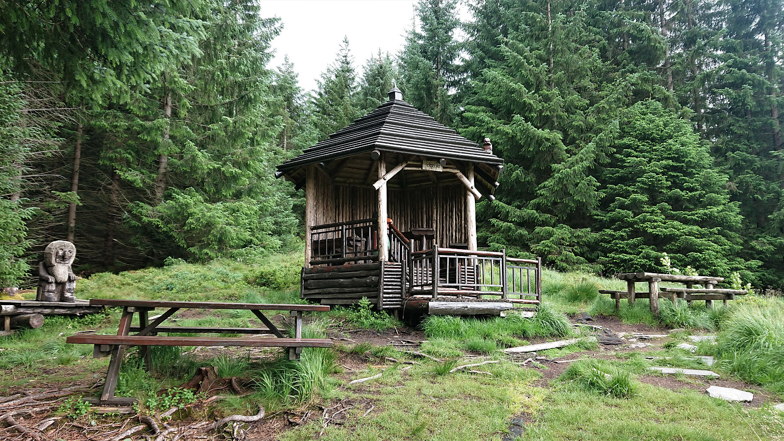
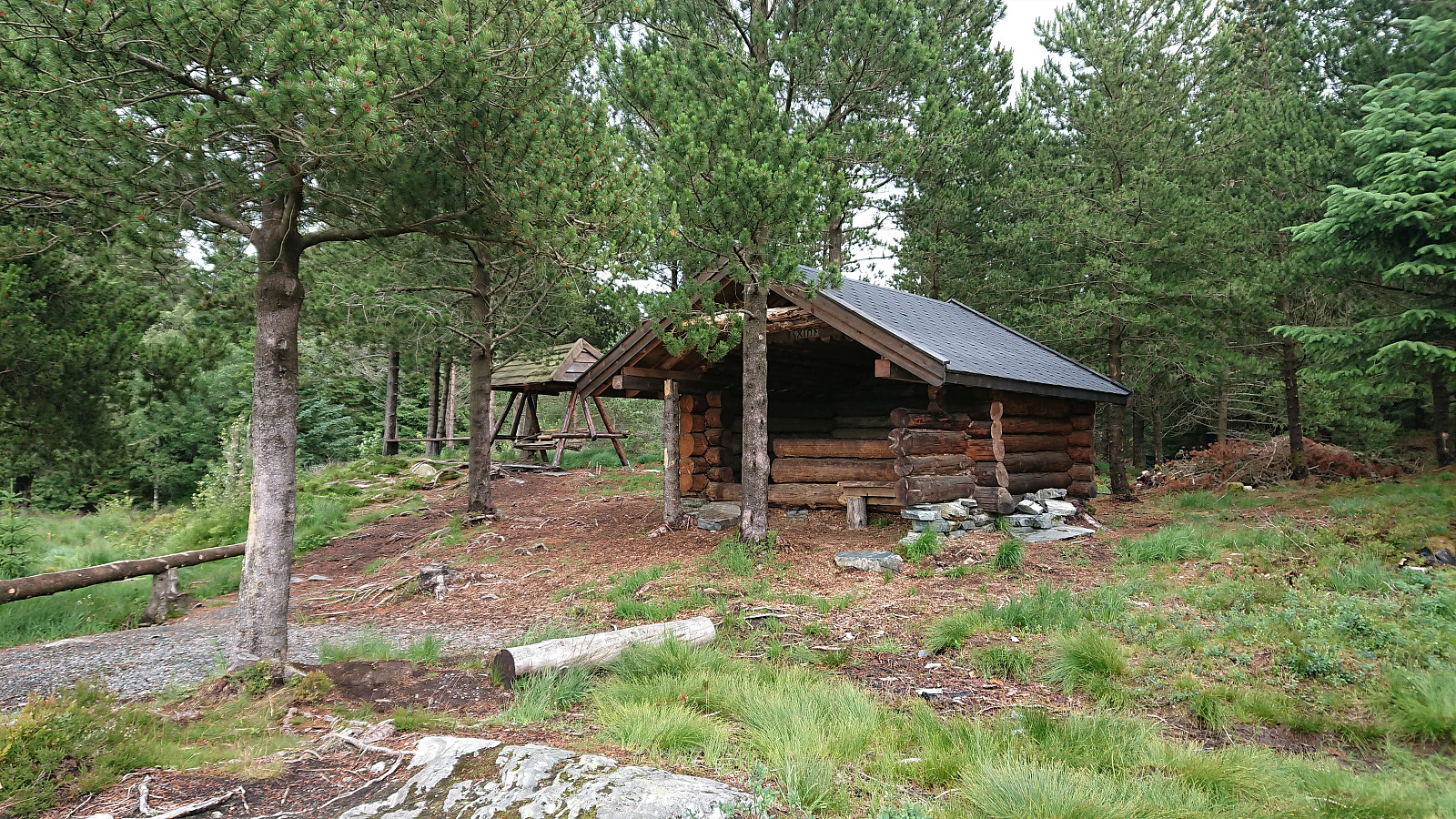
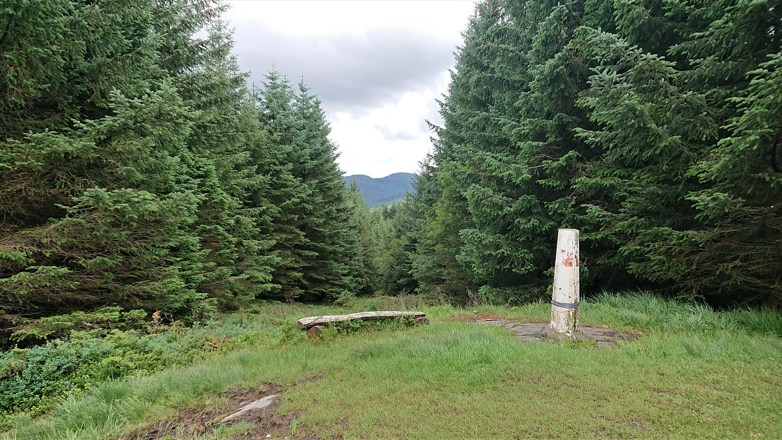
Limited views at the start of the trail, but the trail did pass by an interesting bunker. See Bunkere, Orrehaugane/Hamrefjell for more details. Soon the views also improved and even included a bench and visitor register at Klyftasteinane. Later I also passed by Trollbu and Halvkvila, before making a quick detour to the summit of Hamrefjellet.
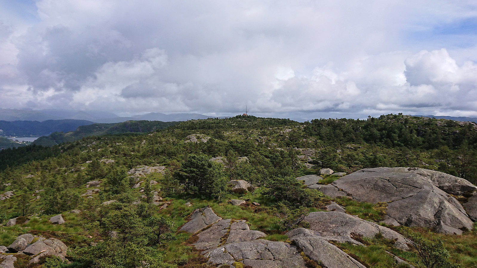
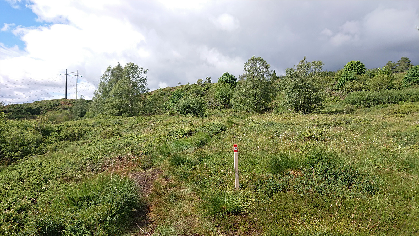
The marked trail then shortly followed the gravel road before finally heading northeast to Valle and the main road where Stage 2 of Jubileumsstien came to an end at the bus stop. In total, I used about two hours on the second stage as well, which in terms of enjoyment was a major improvement compared to Stage 1. And while the views may be more limited for Stage 2, this is partly made up for by the other sights along the way, and with much better trail quality.
Conclusion
Overall, Jubileumsstien have not really lived up to my expectations so far. Hopefully the remaining stages will be better and provide more enjoyable hikes.
| Startzeitpunkt | 07.07.2020 13:18 (UTC+01:00 SZ) |
| Endzeitpunkt | 07.07.2020 17:20 (UTC+01:00 SZ) |
| Gesamtzeit | 4h 02min |
| Zeit in Bewegung | 3h 43min |
| Pausenzeit | 0h 18min |
| Gesamtschnitt | 3,3km/h |
| Bewegungsschnitt | 3,5km/h |
| Entfernung | 13,2km |
| Höhenmeter | 724m |


Benutzerkommentare