
Hovda (27.06.2020)

Skrevet av hbar (Harald Barsnes)

| Startsted | Fjellvegen (152moh) |
|---|---|
| Sluttsted | Fjellvegen (152moh) |
| Turtype | Fjelltur |
| Turlengde | 0t 55min |
| Distanse | 2,9km |
| Høydemeter | 187m |
| GPS |
|
| Bestigninger | Hovda (329moh) | 27.06.2020 |
|---|
Hovda
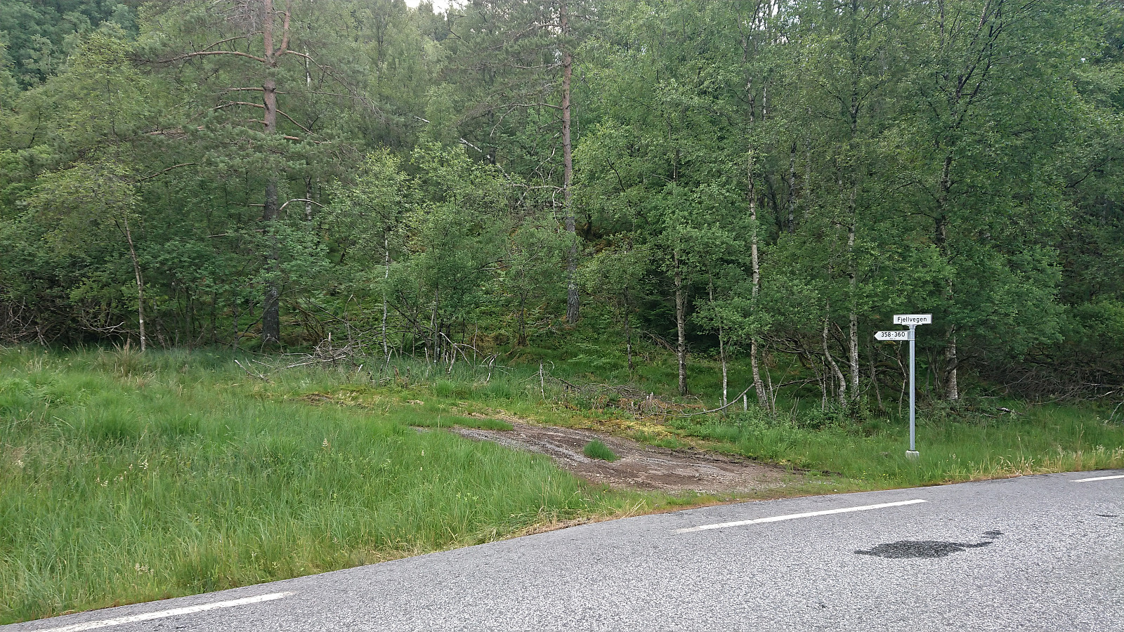
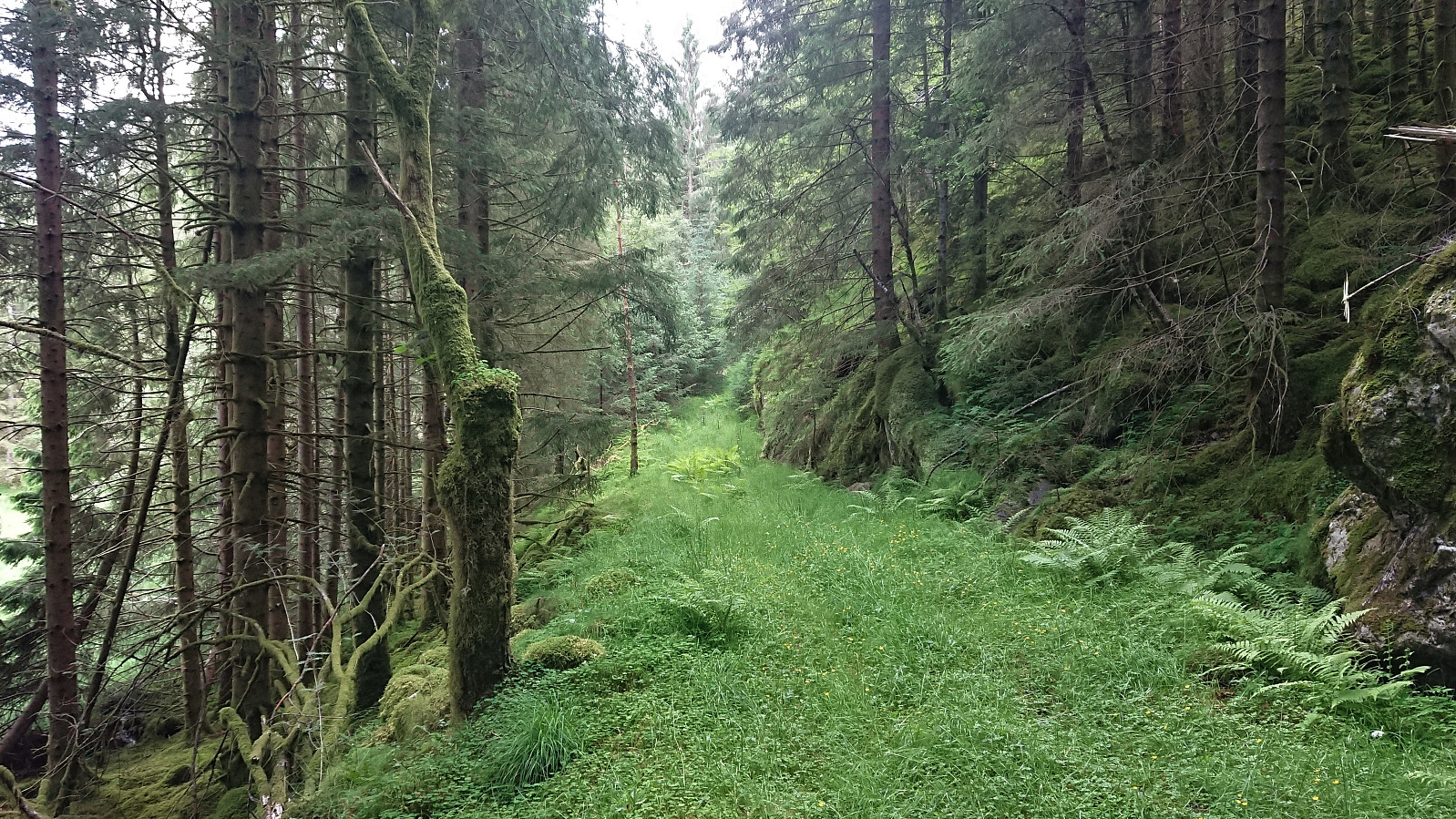

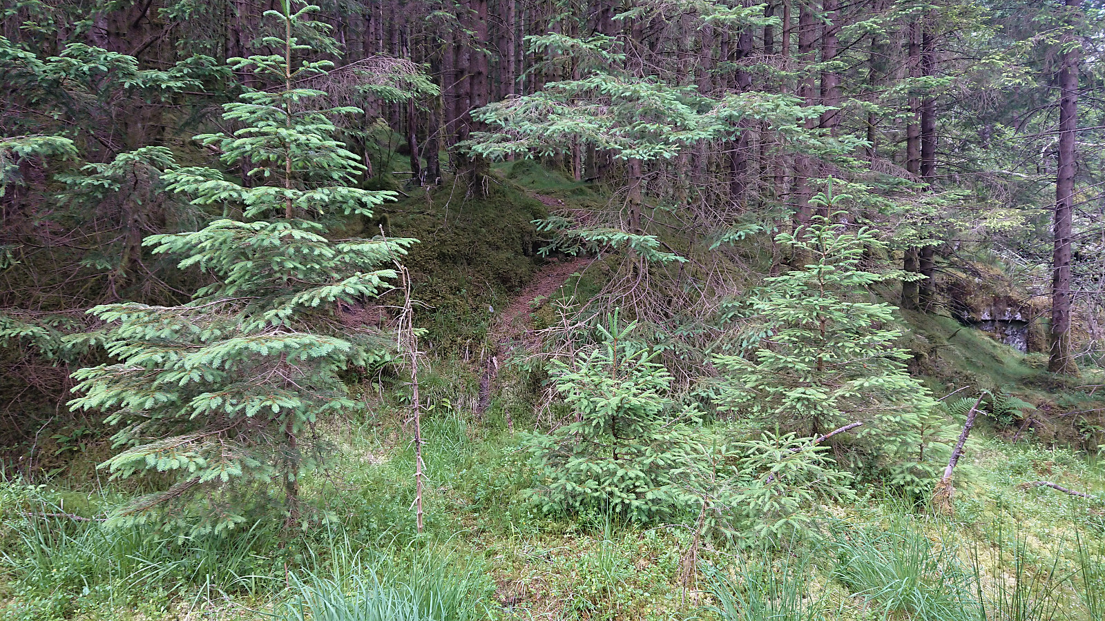
I arrived by bike after my earlier visit of Kongshaug, and easily located the tractor road marking the trailhead for Hovda. After leaving the bike behind at the start of the tractor road, as it was too wet and the grass too high to get any benefit out of cycling, I followed the tractor road until passing the steepest areas between me and the summit. I then ditched the tractor road and found my own more direct route towards the summit, partly following various deer tracks.
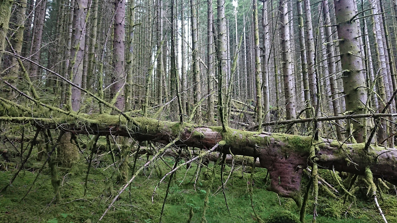
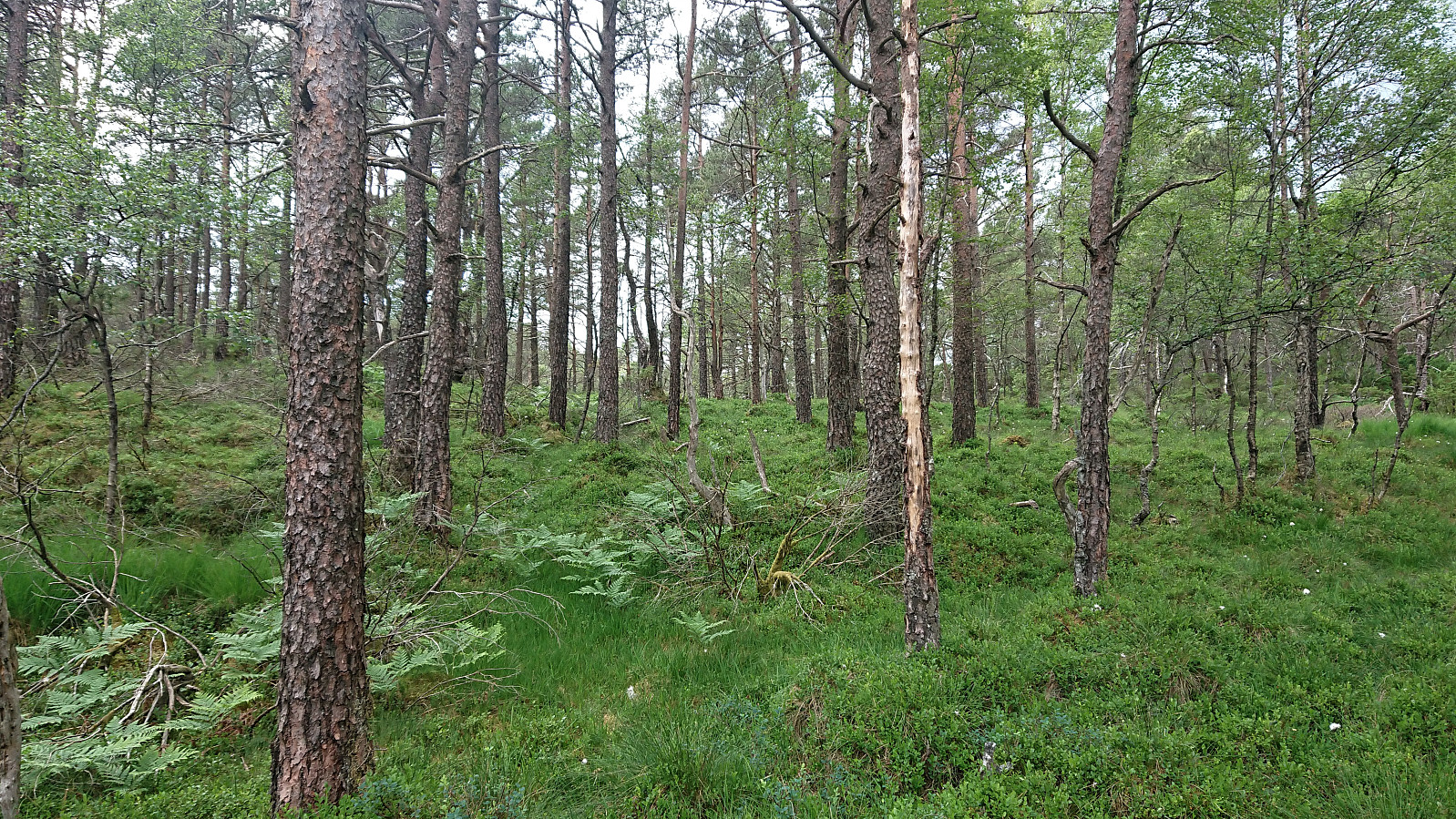
The ascent included its own short obstacle course with lots of fallen trees that I had to find my way over/under, but the terrain opened up at around 300 meters and from there to the summit it was straightforward to make progress. I also spotted two deer, or maybe the same deer on two different locations on my way upwards.
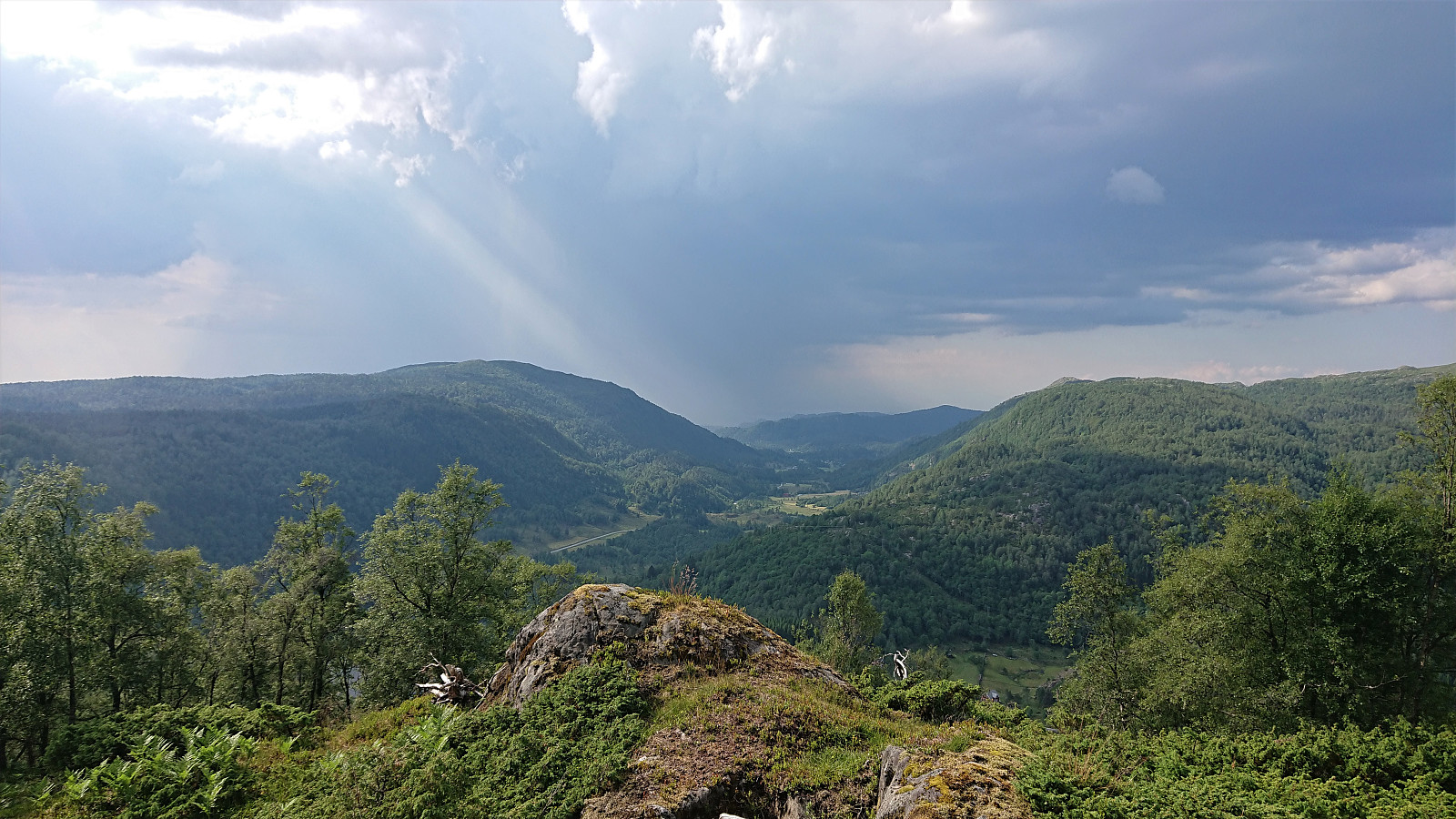
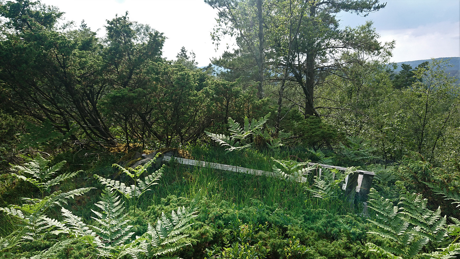
Before heading to the summit itself, I made a short detour to the slightly lower hill 50 meters or so to the northeast, where excellent views into Uggdalsdalen could be obtained. The views from the summit were more limited and the fallen trig marker would not have been much use even if it had still been standing upright.
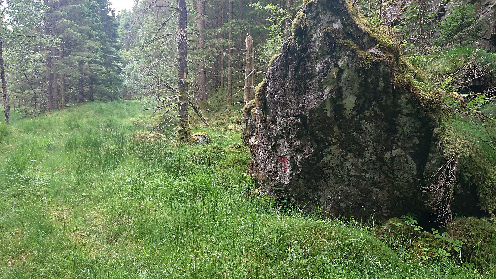
I returned along more or less the same route, but this time following a deer track towards the end that took me all the way to the tractor road. As I was starting north along the tractor road, I was surprised to notice a red T painted on a large rock on the left-hand side (west) of the road. Maybe there is/was a trail that could be followed all the way to the summit? I did not see any traces of this at the summit though.
In summary, an easier hike than expected and with nice views northeast of the summit. Still most likely a summit that most hikers only feel the urge to visit once, if at all.

| Starttidspunkt | 27.06.2020 17:04 (UTC+01:00 ST) |
| Sluttidspunkt | 27.06.2020 18:00 (UTC+01:00 ST) |
| Totaltid | 0t 55min |
| Bevegelsestid | 0t 52min |
| Pausetid | 0t 3min |
| Snittfart totalt | 3,1km/t |
| Snittfart bevegelsestid | 3,3km/t |
| Distanse | 2,9km |
| Høydemeter | 187m |


Kommentarer