
Kongshaug (27.06.2020)

Geschrieben von hbar (Harald Barsnes)

| Startpunkt | Stykkeneset (14m) |
|---|---|
| Endpunkt | Stykkeneset (14m) |
| Tourcharakter | Bergtour |
| Tourlänge | 1h 21min |
| Entfernung | 4,5km |
| Höhenmeter | 289m |
| GPS |
|
| Besteigungen | Bjørkedalsrindane (229m) | 27.06.2020 |
|---|---|---|
| Kongshaug (210m) | 27.06.2020 14:20 | |
| Besuche anderer PBE | Kongshaug rasteplass (128m) | 27.06.2020 |
| Kongshaug turbokkasse (209m) | 27.06.2020 |
Kongshaug
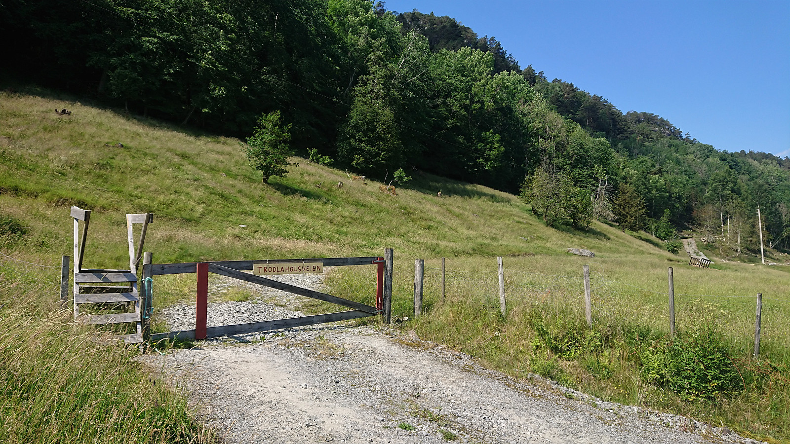
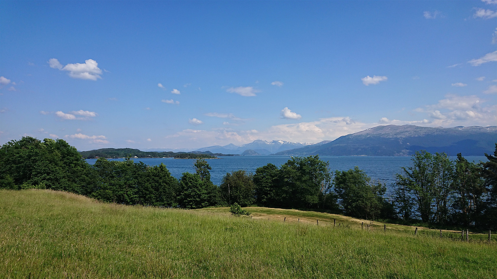
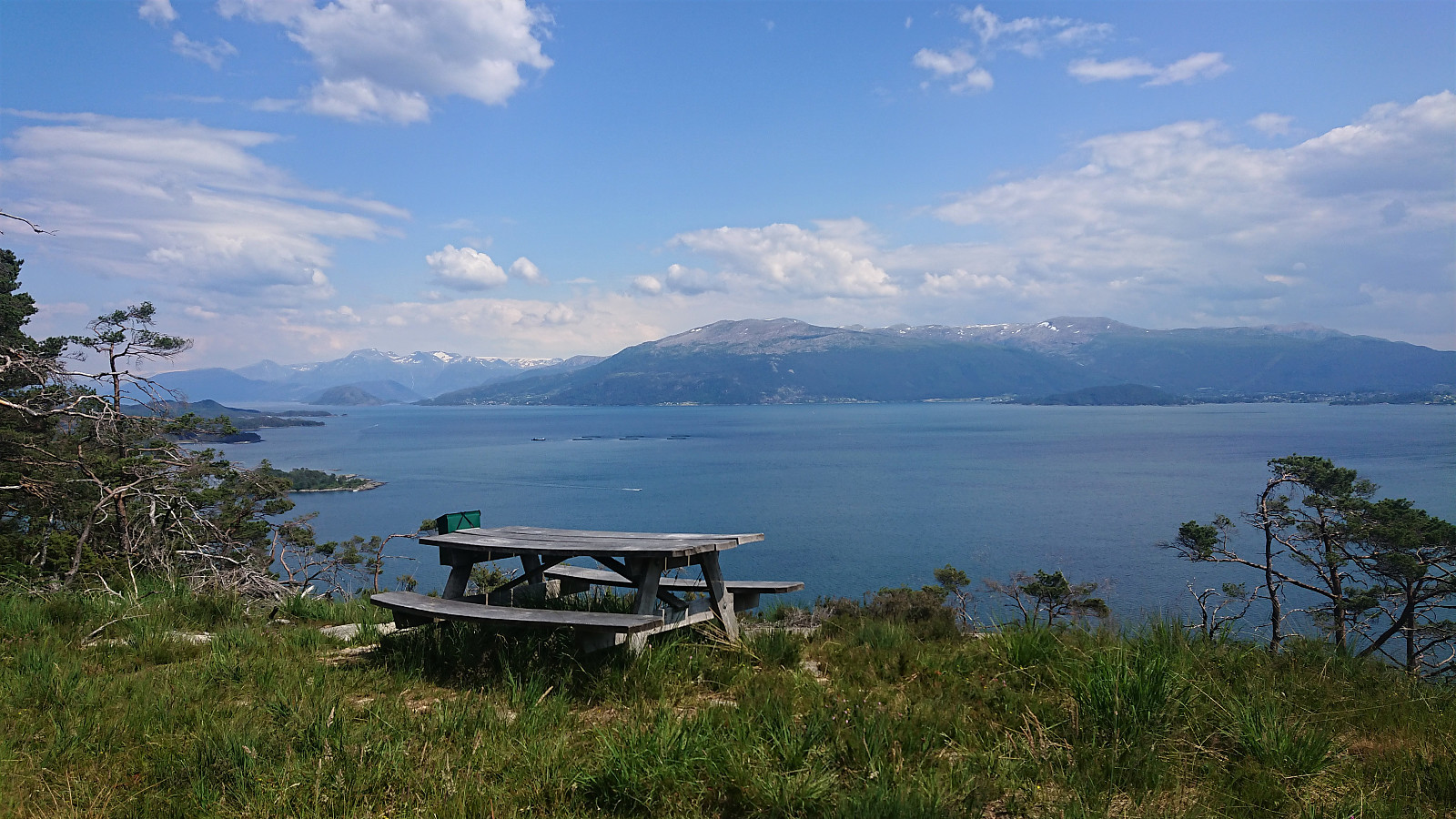
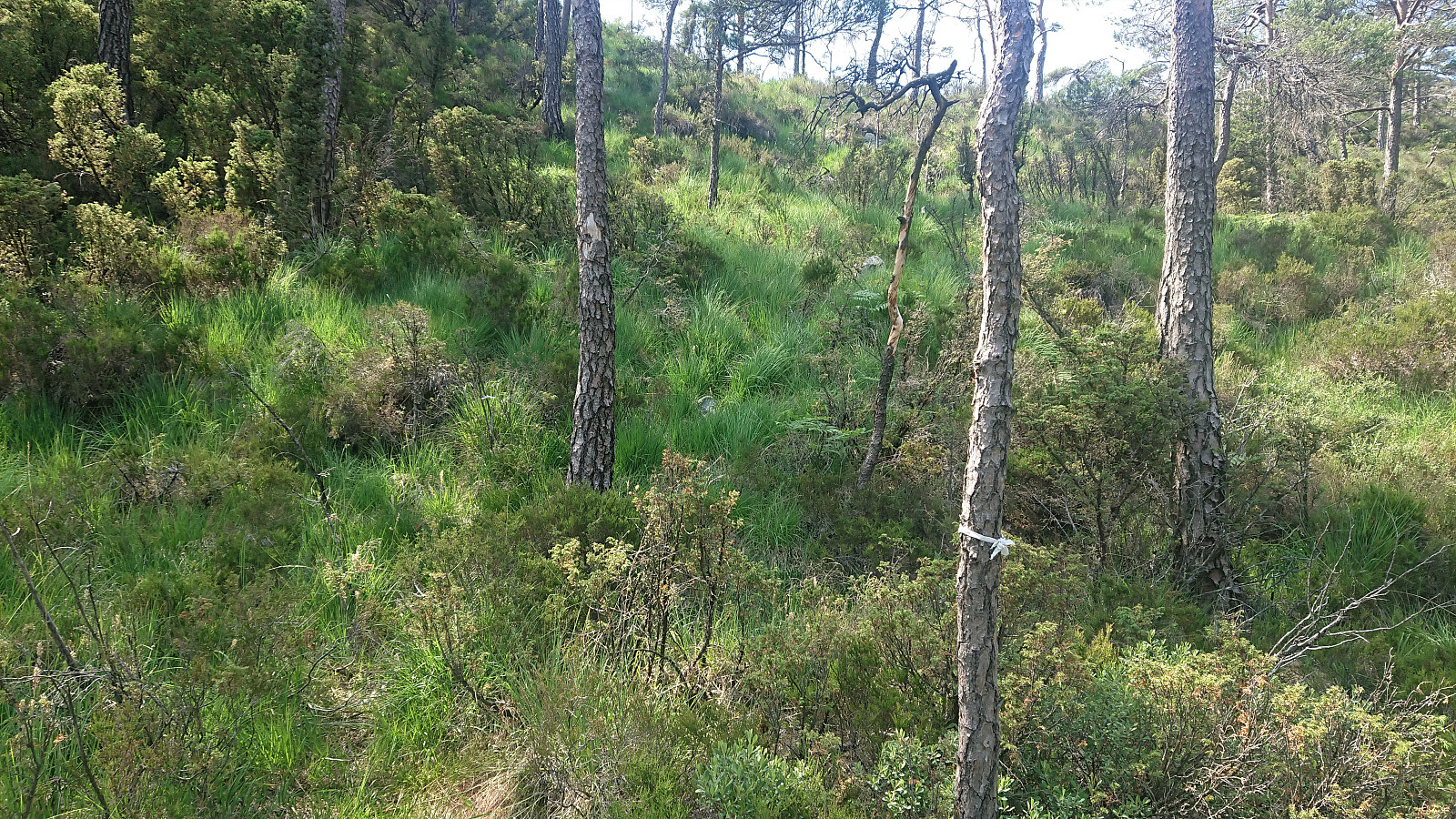
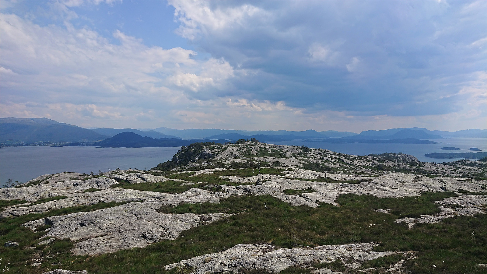
Upon finally arriving at the trailhead for Kongshaug, I quickly found a place to leave my bike and followed the tractor road upwards until it ended at a picnic area with excellent views. At first I did not see any trails continuing from that point, but I soon happened upon a weak trail marked with white plastic ribbons. And although it was not exactly going towards the summit, I assumed it had its reasons, and decided to follow it anyway.
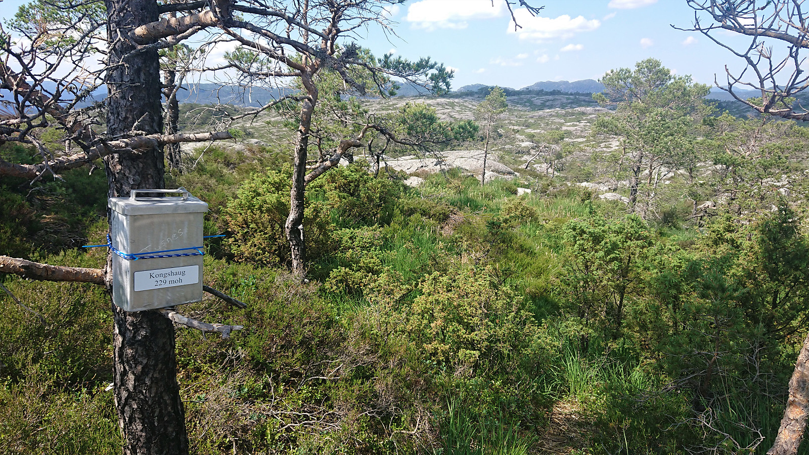
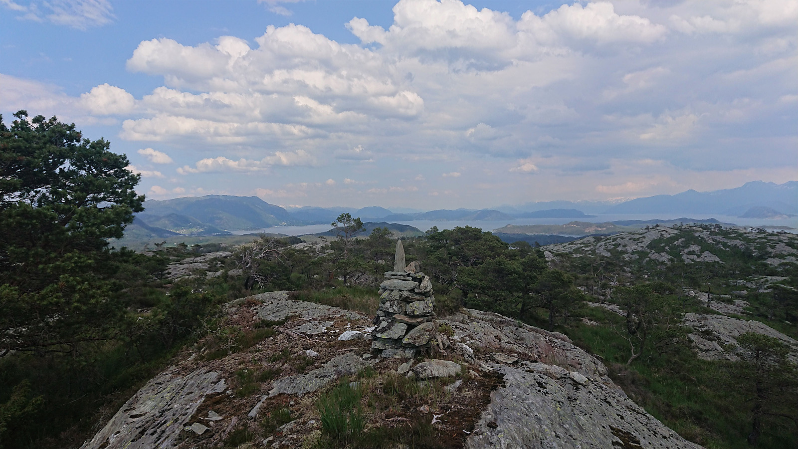
It quickly became apparent that this trail was indeed not heading towards the summit, but rather to a viewpoint to the south. By this time I was pretty close anyway, so I stuck with the trail until it came to an end at a visitor register.
Interestingly the visitor register was incorrectly marked with 229 meters, but the actual height was more like 209 meters. Still worth a visit if in the area though, as the views to the south were very nice.
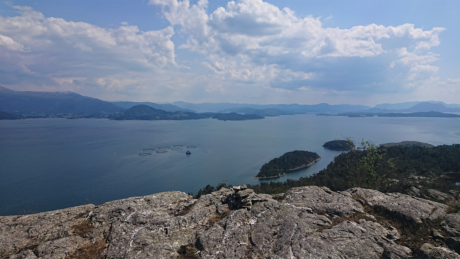
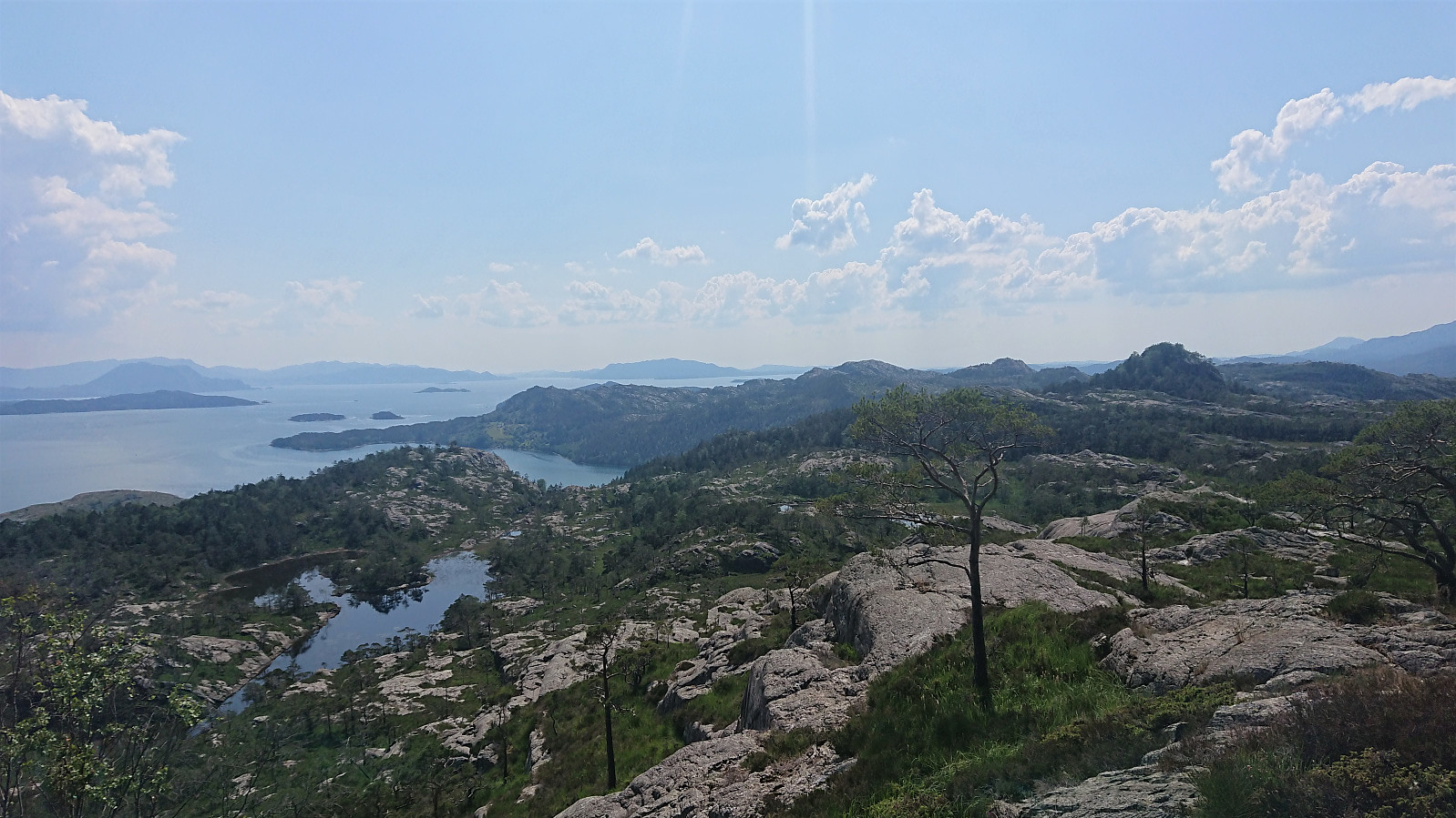
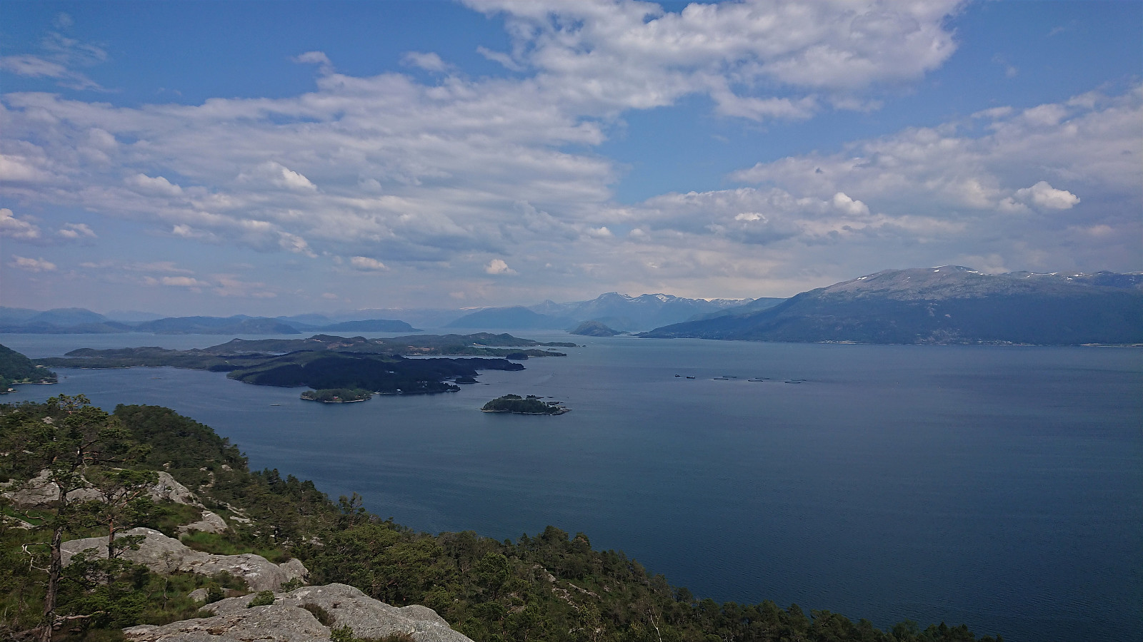
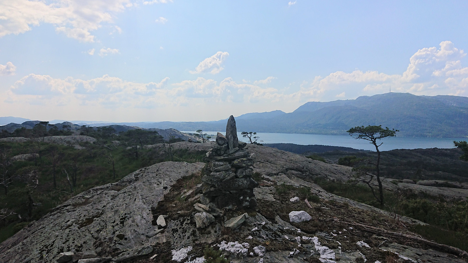
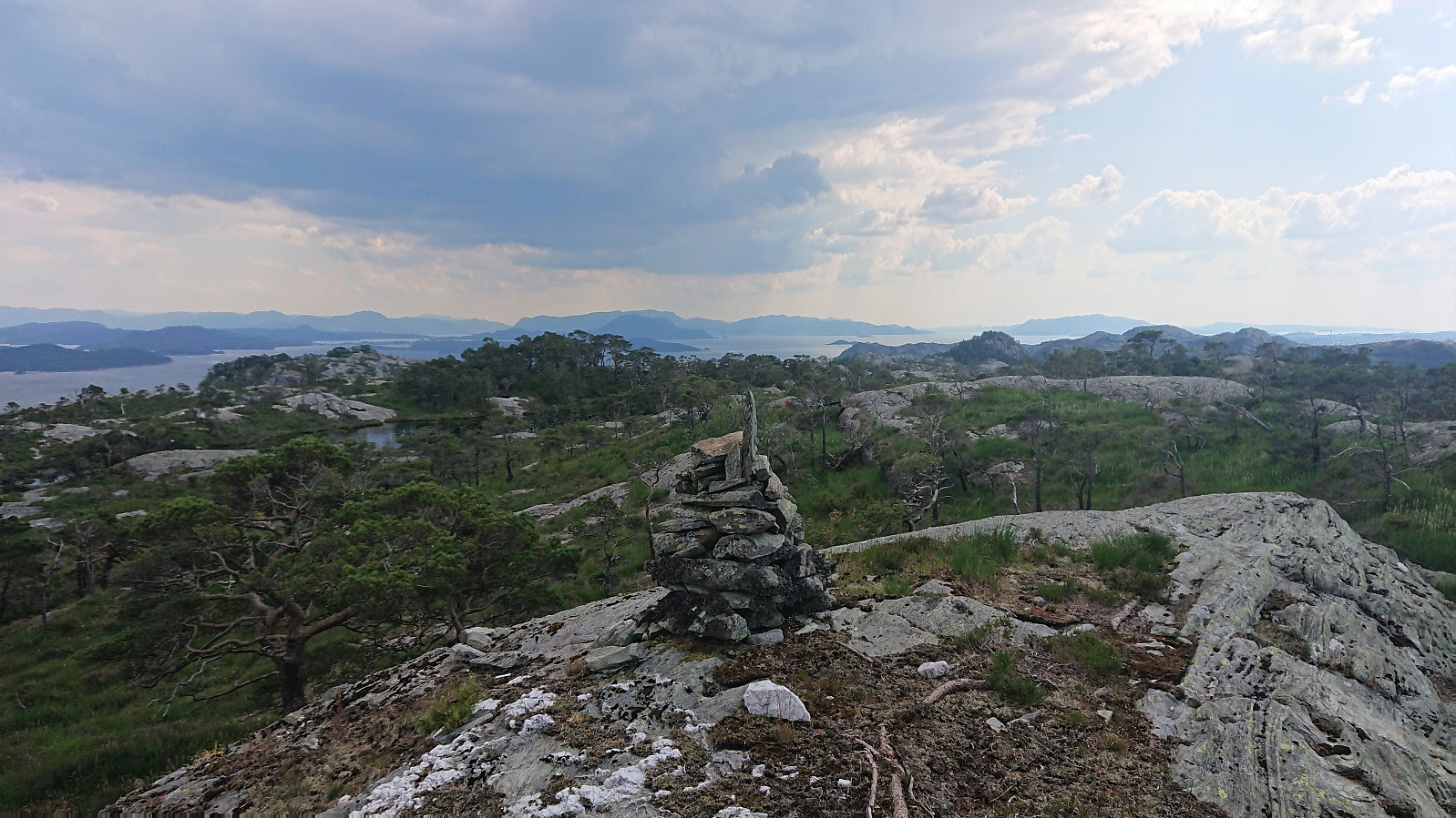
From the visitor register I made my own way to the summit without any difficulties. Nice 360-degree views from the summit. This also allowed me to spot dark rain clouds coming my way from the south, which made me cut my stay short and start my descent, now following a more direct route via Skiftesbekken. It would probably have been better to follow my ascent route in reverse though, as the small stream was wetter than I had hoped and the undergrowth next to it denser.
It did not matter much, as it soon started raining quite heavily. At first I tried taking shelter under some trees, but quickly gave this up and rather returned to the tractor road by the shortest route. And by the time I arrived at my bike the rain had stopped and in any case I would dry quickly in the close to 30 degrees.
Overall, a slightly longer trip than expected given the decoy summit with the visitor register, but the initial tractor road and the very nice views, both along the way and at the summit, still makes it a trip that can be recommended.
For some additional interesting information about Kongshaugen and Trodlaholsveien, please see this short report from tysnesingen.no.
| Startzeitpunkt | 27.06.2020 14:21 (UTC+01:00 SZ) |
| Endzeitpunkt | 27.06.2020 15:42 (UTC+01:00 SZ) |
| Gesamtzeit | 1h 21min |
| Zeit in Bewegung | 1h 17min |
| Pausenzeit | 0h 4min |
| Gesamtschnitt | 3,3km/h |
| Bewegungsschnitt | 3,5km/h |
| Entfernung | 4,5km |
| Höhenmeter | 288m |


Benutzerkommentare