
Hjellafjellet, Trollskarnuten and Lurafjellet (25.06.2020)

Skrevet av hbar (Harald Barsnes)

| Startsted | Kvitingen p-plass (371moh) |
|---|---|
| Sluttsted | Kvitingen p-plass (370moh) |
| Turtype | Fjelltur |
| Turlengde | 5t 19min |
| Distanse | 14,9km |
| Høydemeter | 1036m |
| GPS |
|
| Bestigninger | Hjellafjellet (932moh) | 25.06.2020 |
|---|---|---|
| Lurafjellet (833moh) | 25.06.2020 | |
| Trollskardtinden (1080moh) | 25.06.2020 | |
| Andre besøkte PBE'er | Kvitingen p-plass (371moh) | 25.06.2020 |
| Trollskarnuten (1074moh) | 25.06.2020 |
Hjellafjellet, Trollskarnuten and Lurafjellet
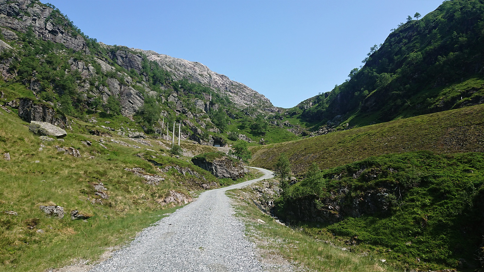
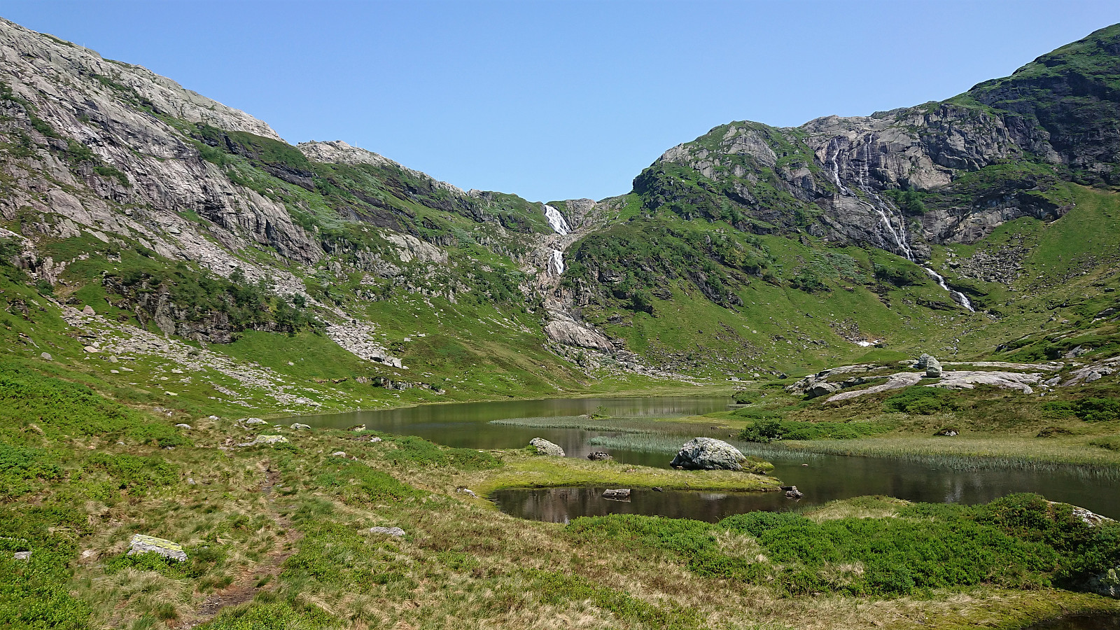

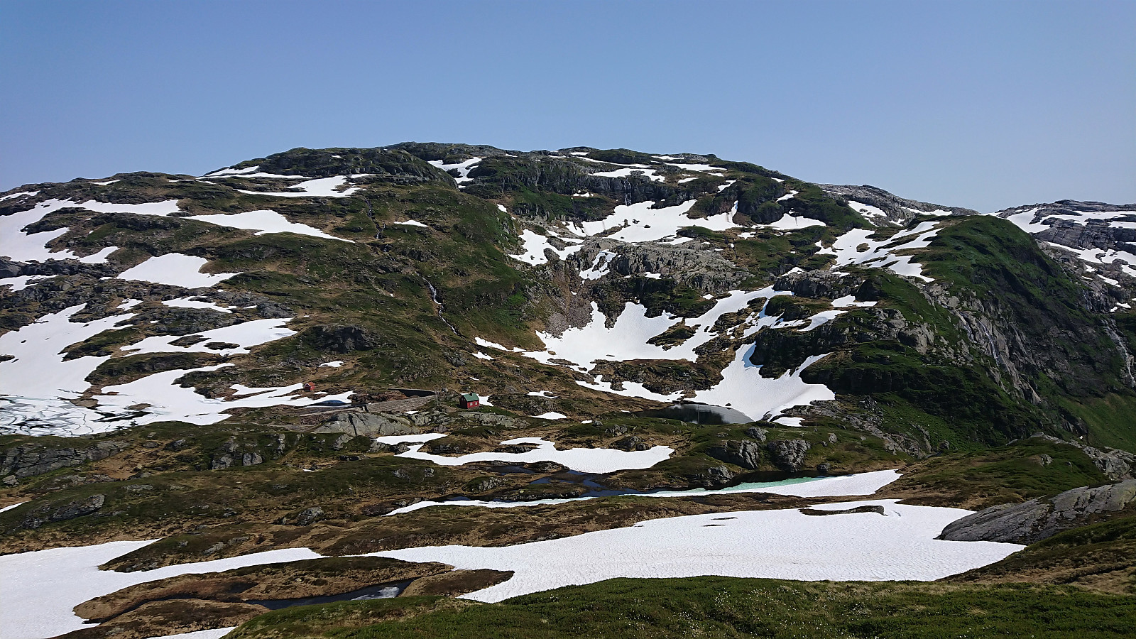
We parked at Kvitingen p-plass and, after paying the 50 kr parking fee, followed the gravel road in the direction of Dukabotnen. The trail started where the gravel road ended (but we got impatient and made a shortcut to skip the last bend of the road) and could easily be followed all the way to Nedsta Dukavatnet, including a bridge that made the river-crossing straightforward.
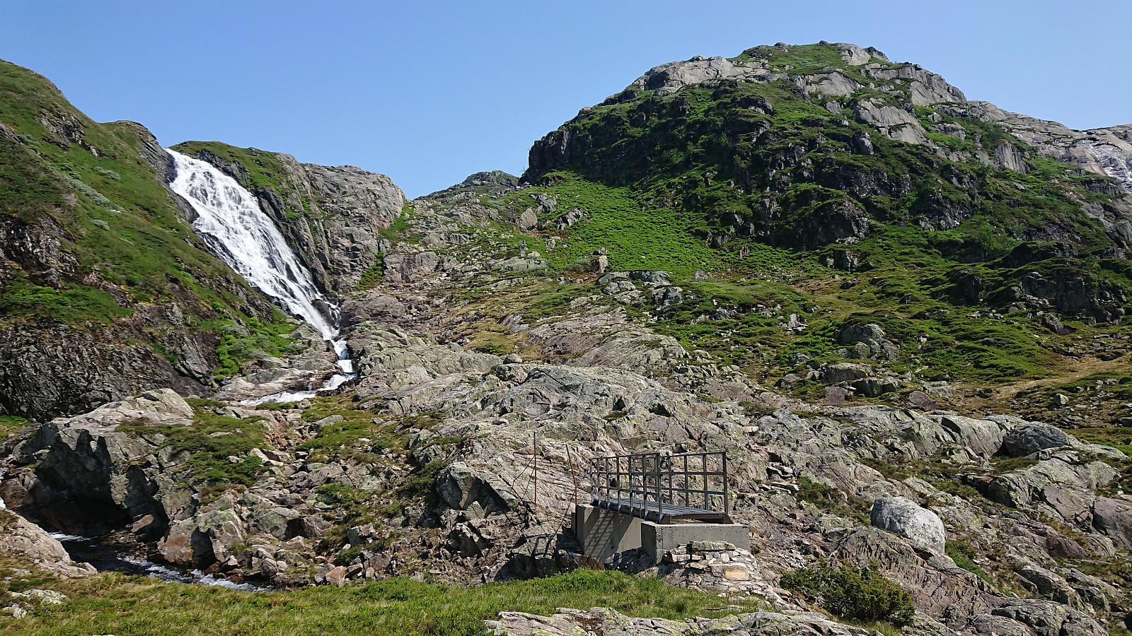
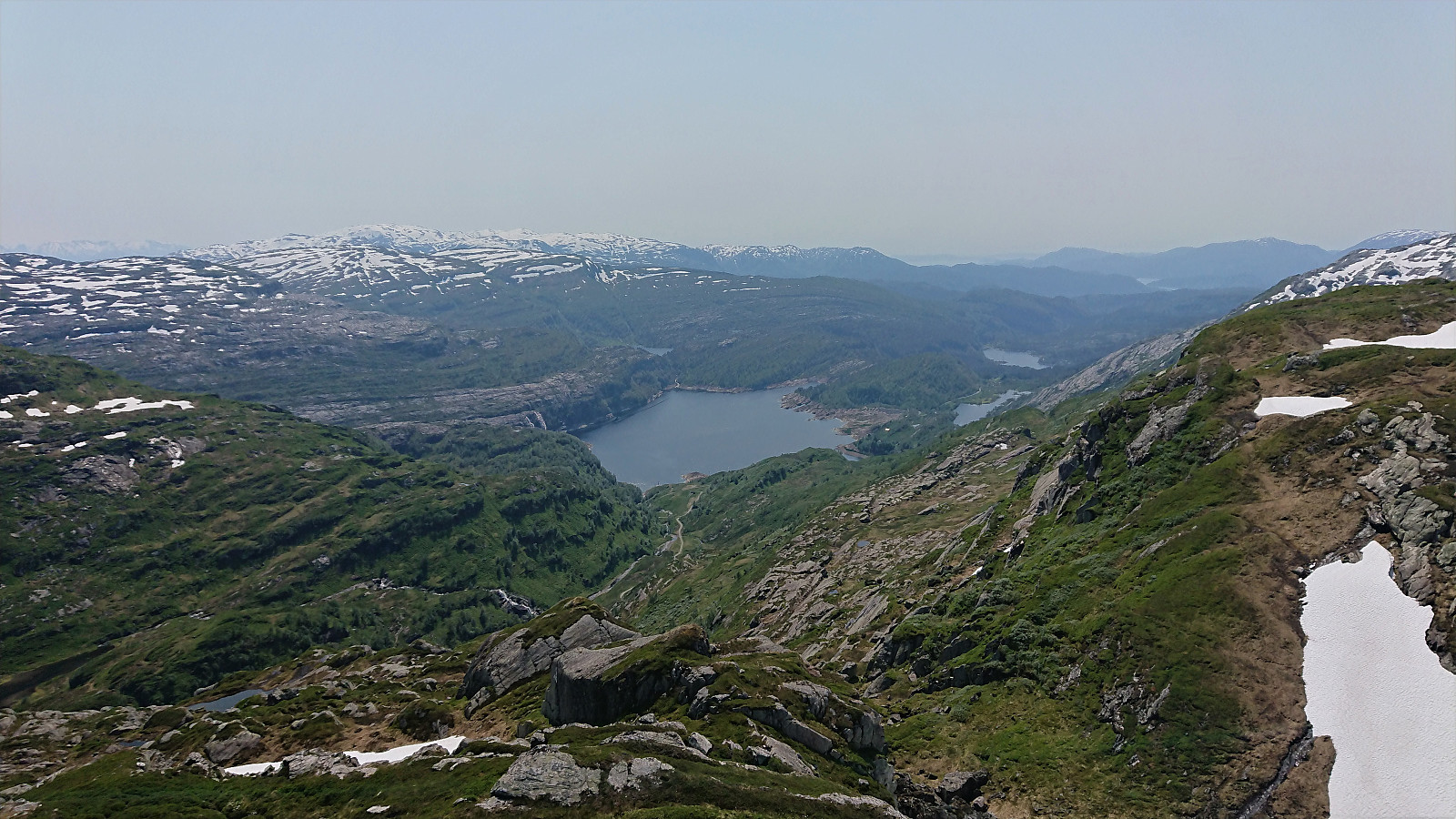
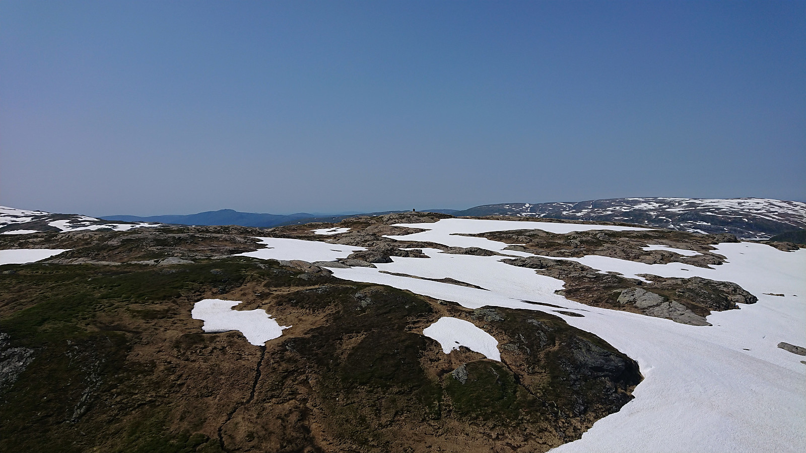
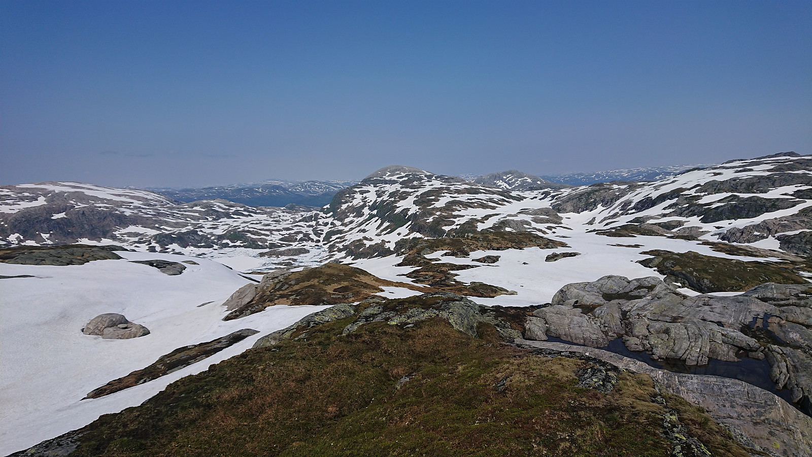
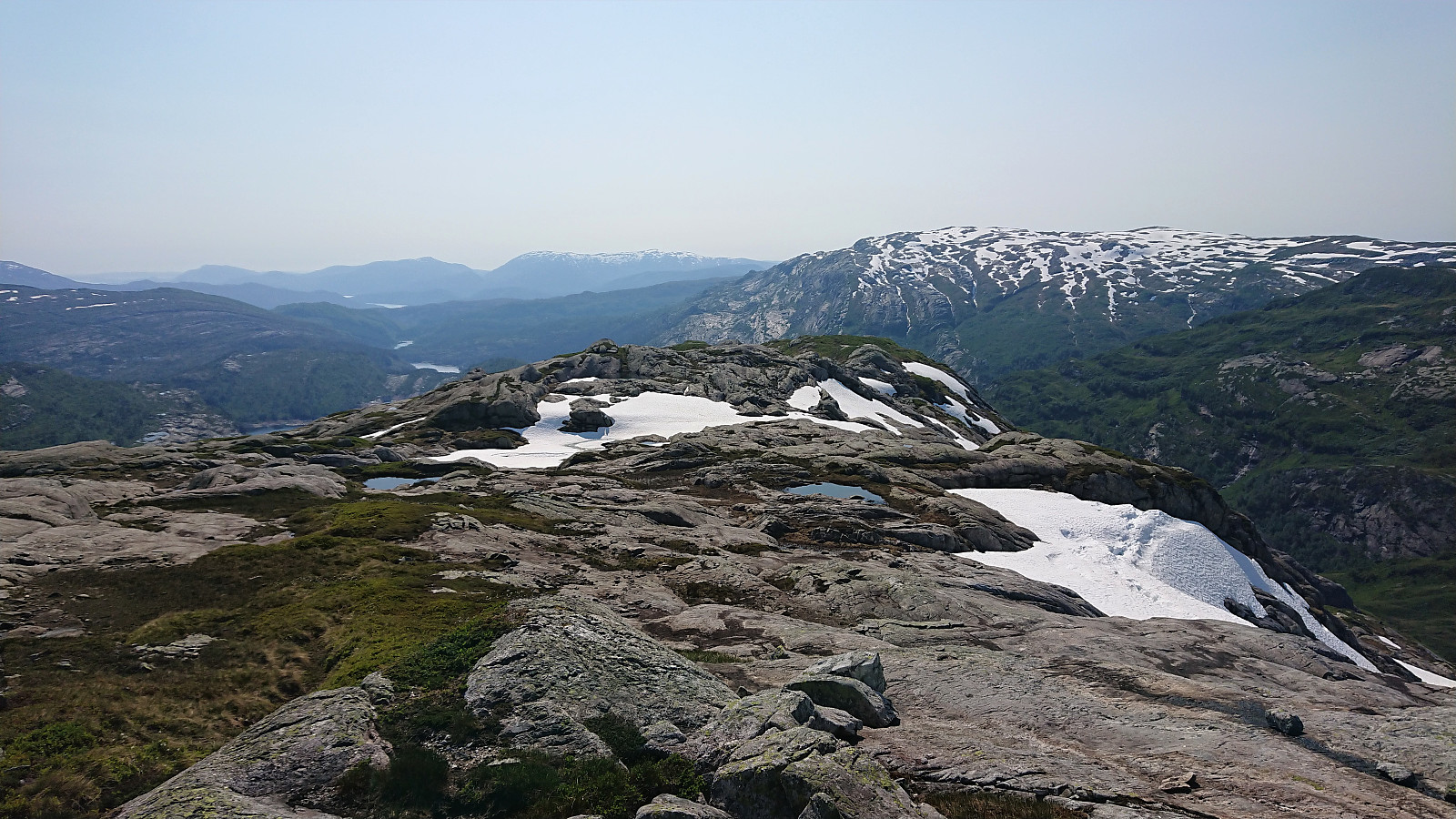
From Nedsta Dukavatnet I made a quick detour on my own to the summit of Hjellafjellet, which provided excellent views, including back down to Kvitingsvatnet, before returning along the same route. After a short lunch break, we started the initially steep ascent towards Trollskarnuten/Trollskardtiden. The later steep section could easily be avoided, although we did one steep shortcut in order to avoid a longer detour in the snow.
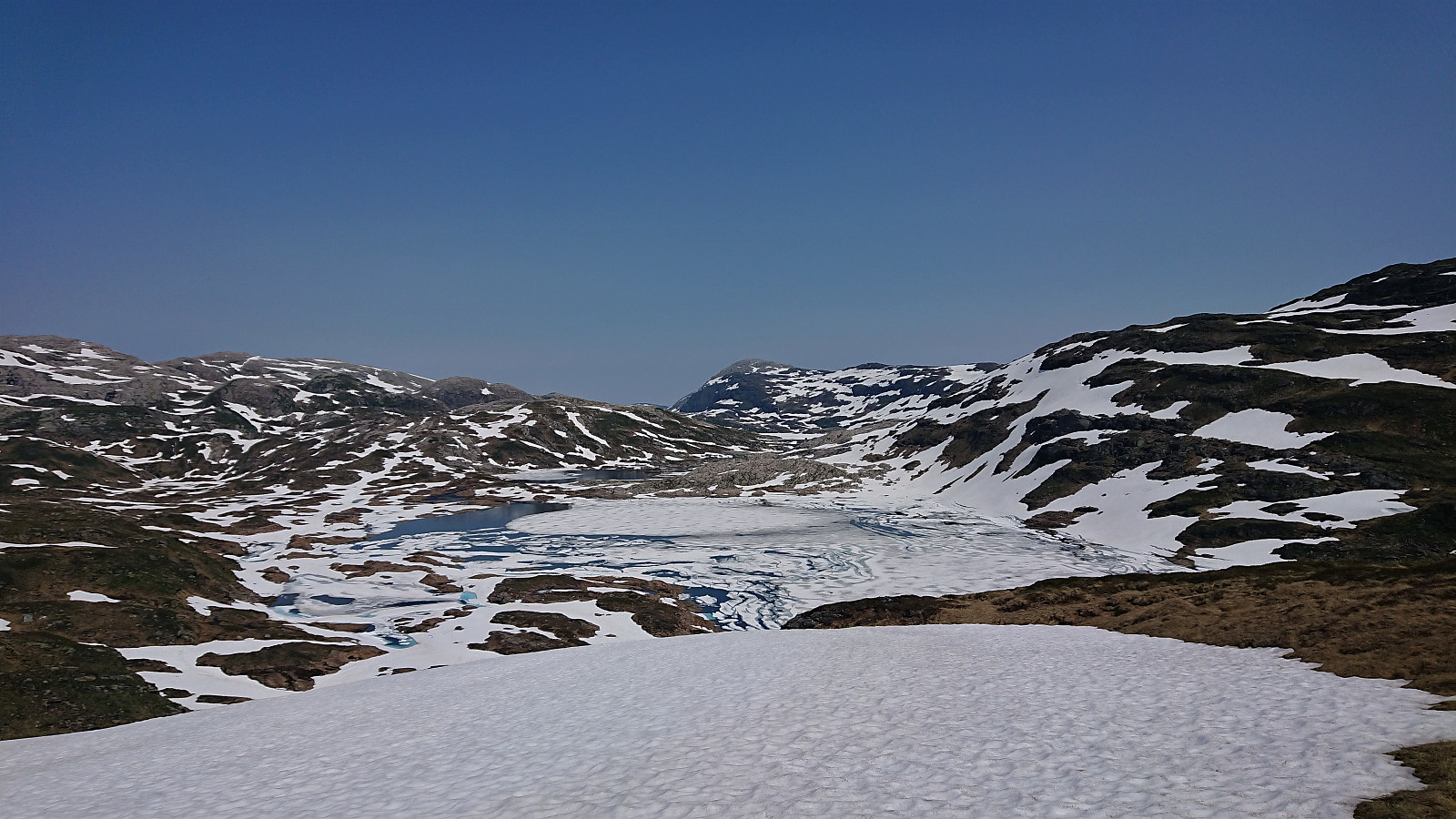
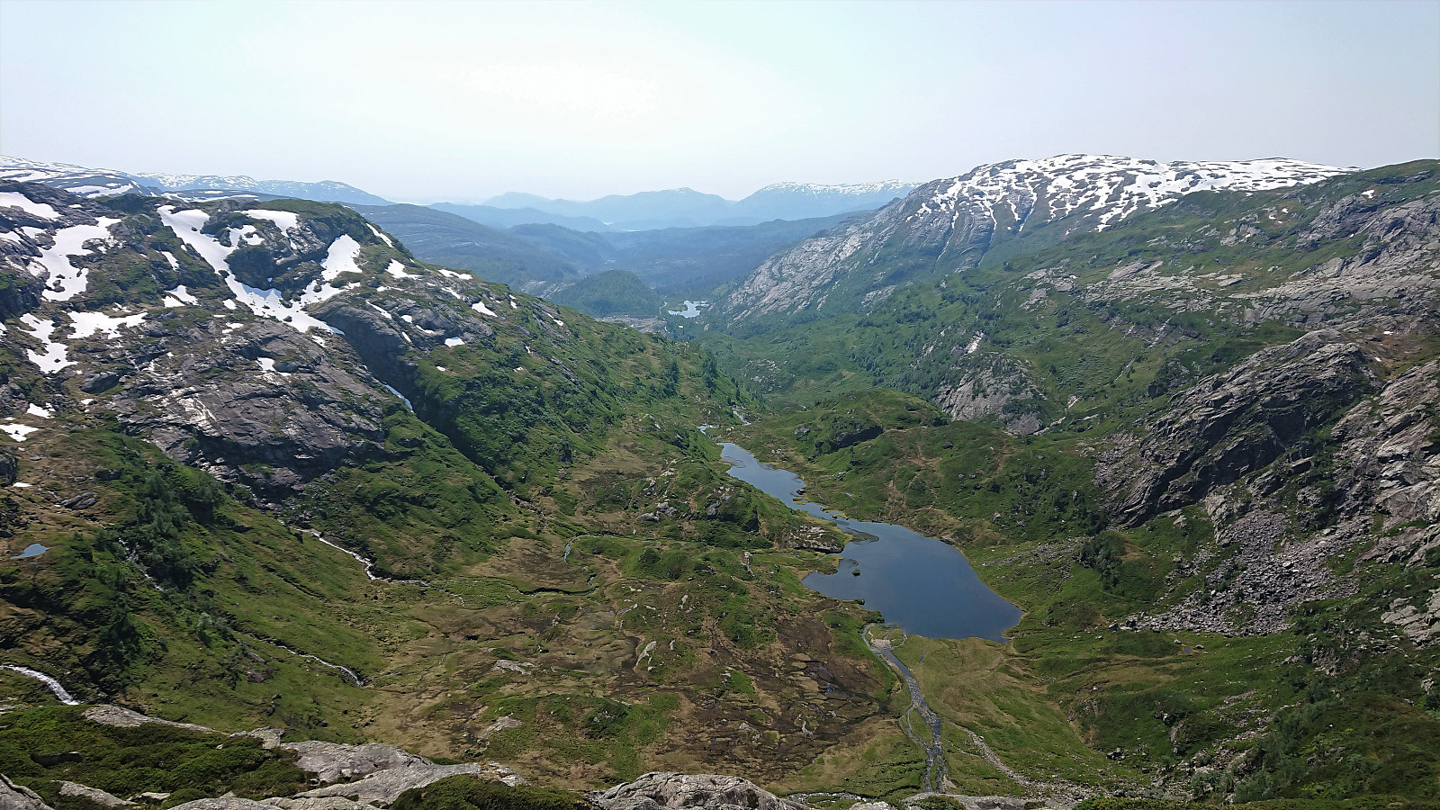
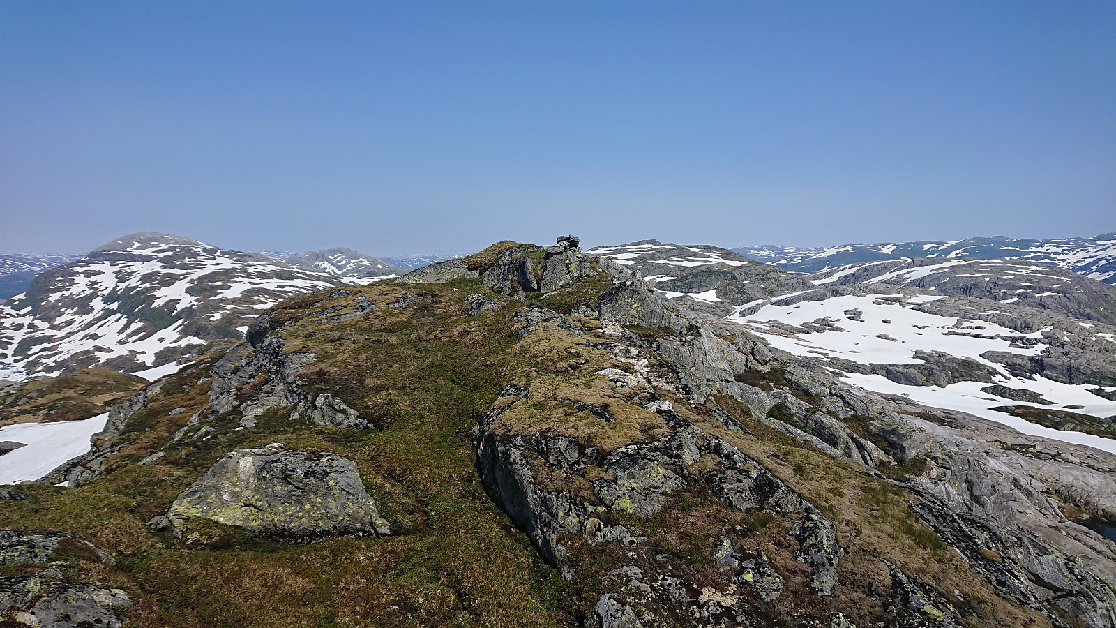
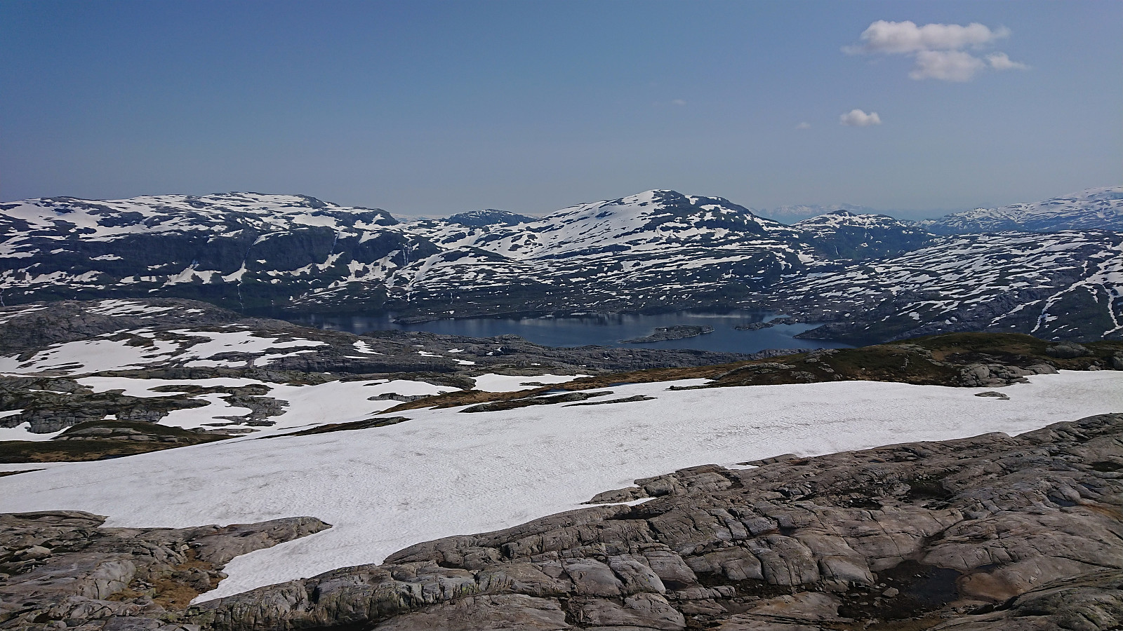
The remains of the trig marker at Trollskarnuten was thus easily reached, from where I continued the less than 300 meters to the summit on my own. Great views from both the trig marker and the summit, for example towards Holmavatnet with Fuglafjellet and Iendafjellet in the background.
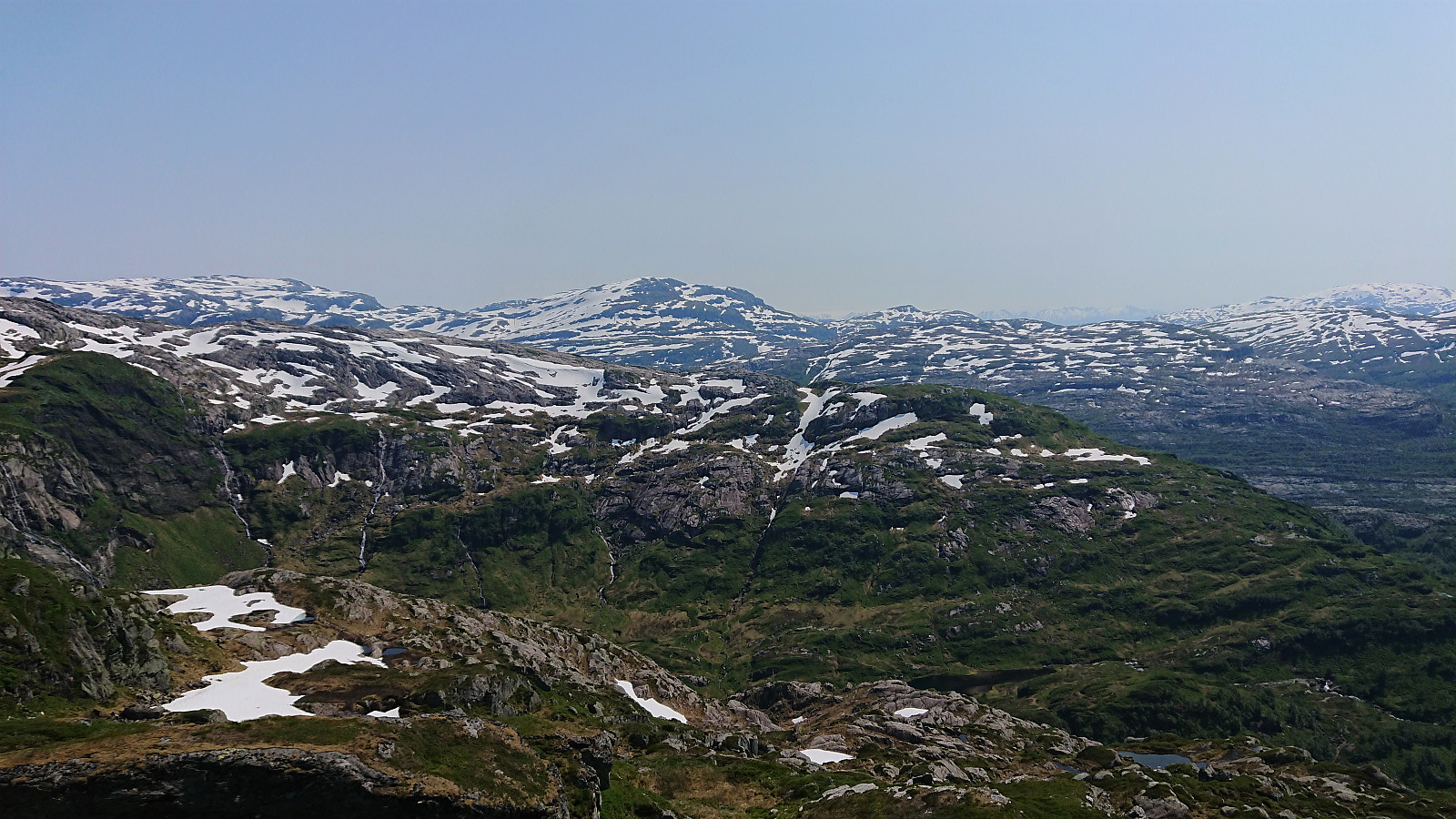
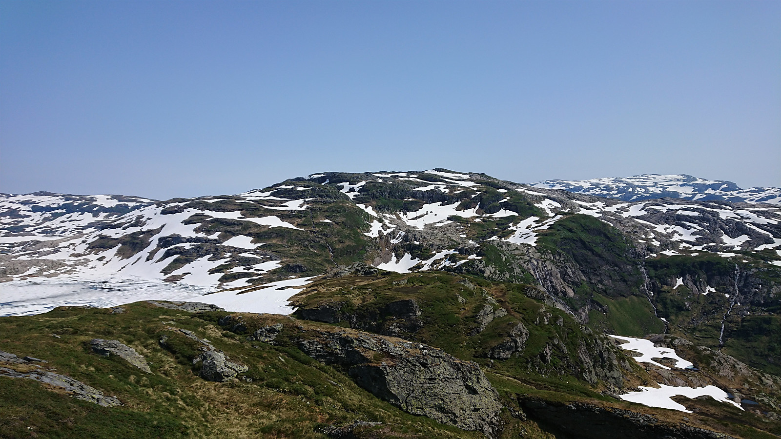
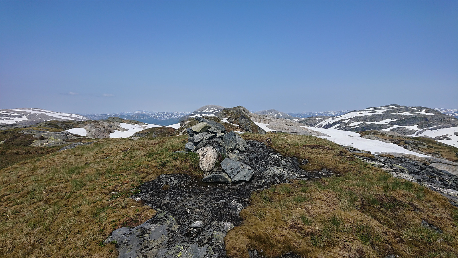
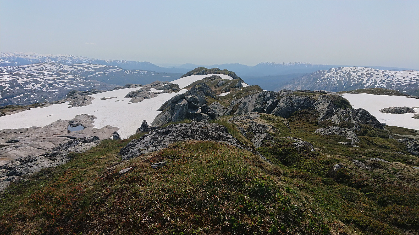
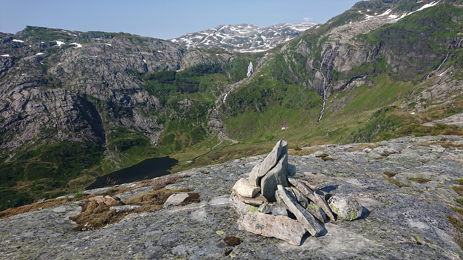
For our descent, we followed the ridge southwest to Lurafjellet, which provided little to no difficulty. Note that Lurafjellet basically consists of three small hills. The highest point is found to the east, the cairn is found to the north, while the PB-element (and potentially the remains of a trig maker?) is found to the southeast. I would argue that the PB-element ought to be moved to the higher eastern summit.
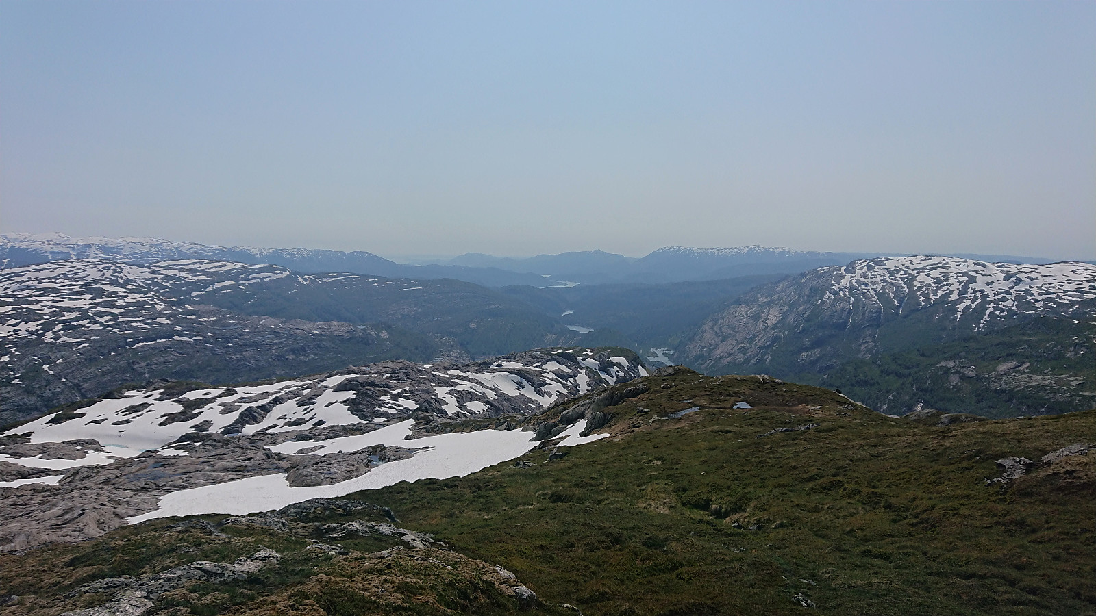
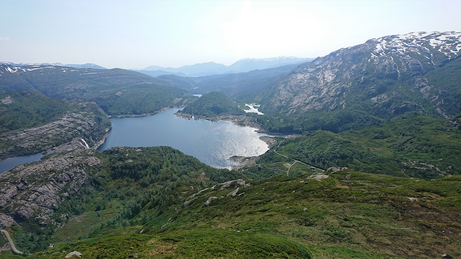
From Lurafjellet, we followed a route that avoided most of the steepest areas, except towards the end when seeing the gravel road, where ignoring the map quickly got us into some minor trouble, that required going a bit back and forth to find a good way down. This can easily be avoided by doing a minor detour.
Overall, the descent was straightforward, and we soon reached the gravel road which we then followed back to the parking lot.
In summary, a very nice hike with excellent views that can be highly recommended.
| Starttidspunkt | 25.06.2020 12:20 (UTC+01:00 ST) |
| Sluttidspunkt | 25.06.2020 17:39 (UTC+01:00 ST) |
| Totaltid | 5t 19min |
| Bevegelsestid | 4t 46min |
| Pausetid | 0t 32min |
| Snittfart totalt | 2,8km/t |
| Snittfart bevegelsestid | 3,1km/t |
| Distanse | 14,9km |
| Høydemeter | 1035m |


User comments