
Knuskedalsfjellet, Sædalshesten and Bjørnsnipa (13.06.2020)

Written by hbar (Harald Barsnes)

| Start point | Ardalen (188m) |
|---|---|
| Endpoint | Vaksdal statsjon (17m) |
| Characteristic | Hillwalk |
| Duration | 6h 49min |
| Distance | 24.2km |
| Vertical meters | 1,132m |
| GPS |
|
| Ascents | Knuskedalsfjellet (928m) | 13.06.2020 |
|---|---|---|
| Sædalshesten (810m) | 13.06.2020 | |
| Visits of other PBEs | Bjørnsnipa (699m) | 13.06.2020 |
| Herfindal p-plass (356m) | 13.06.2020 | |
| Vaksdal stasjon (17m) | 13.06.2020 |
Knuskedalsfjellet, Sædalshesten and Bjørnsnipa

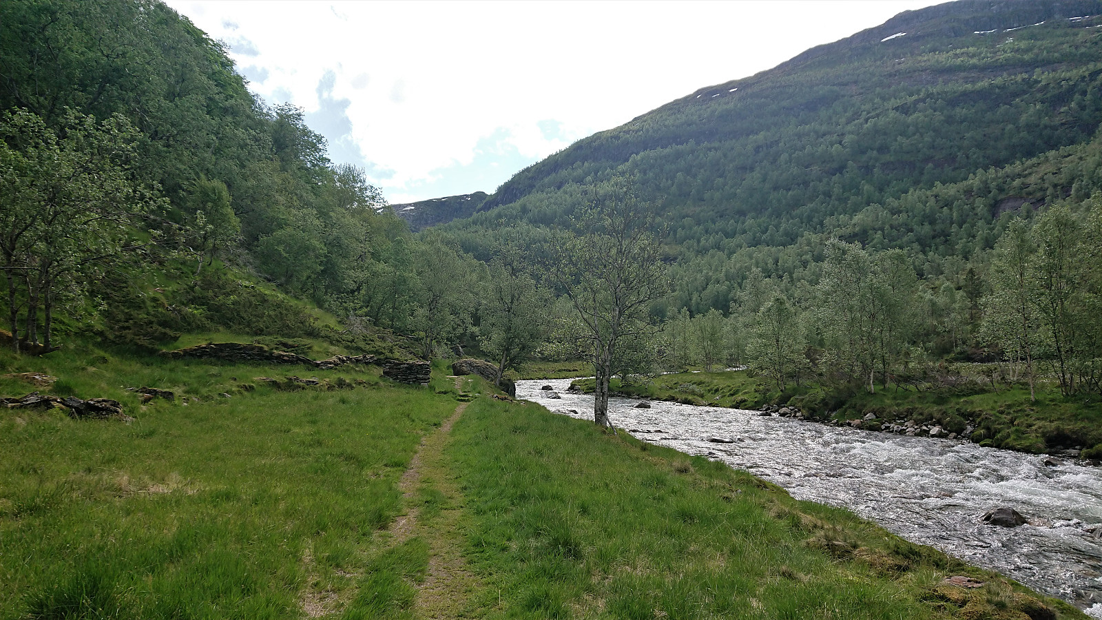
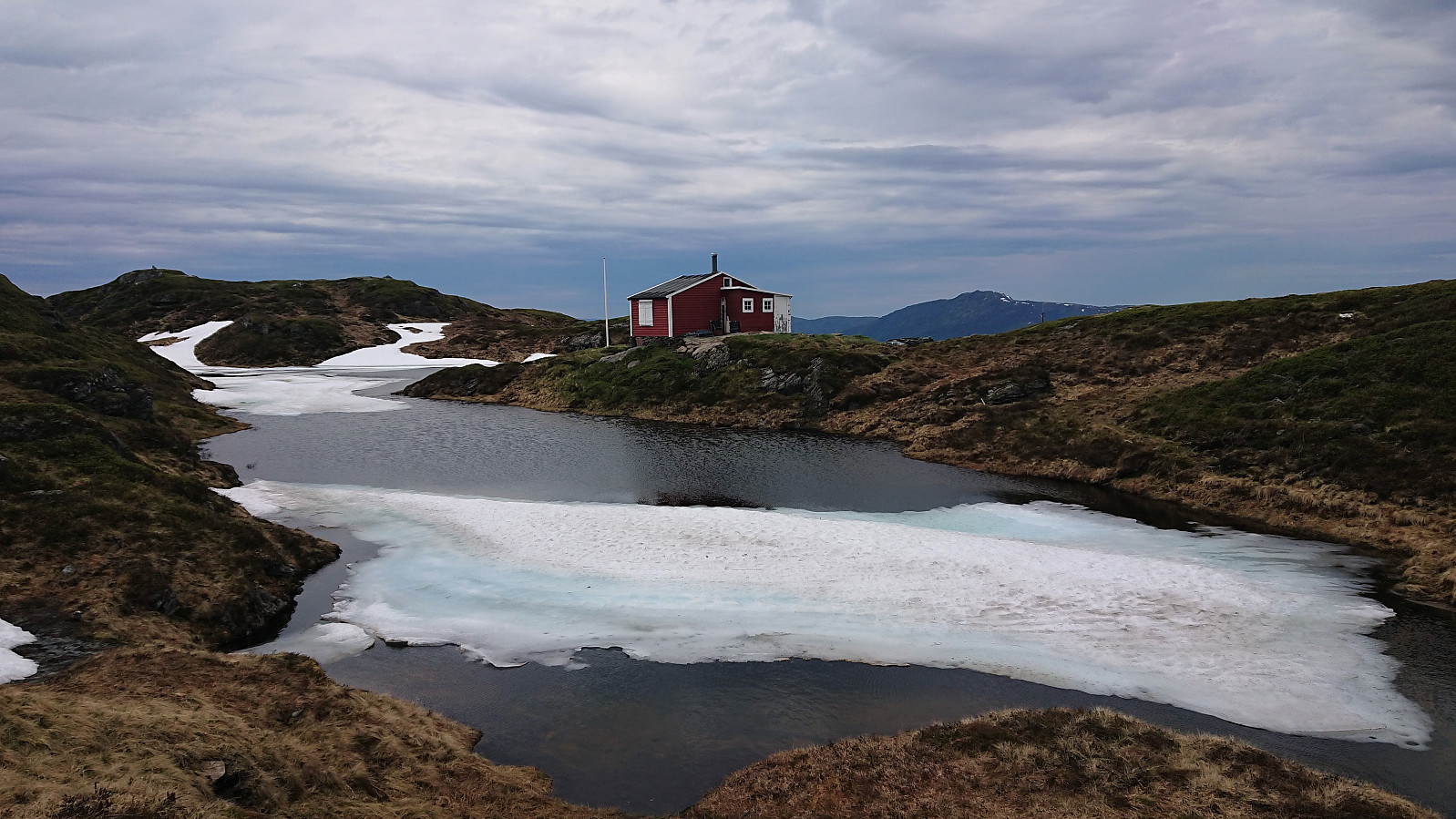
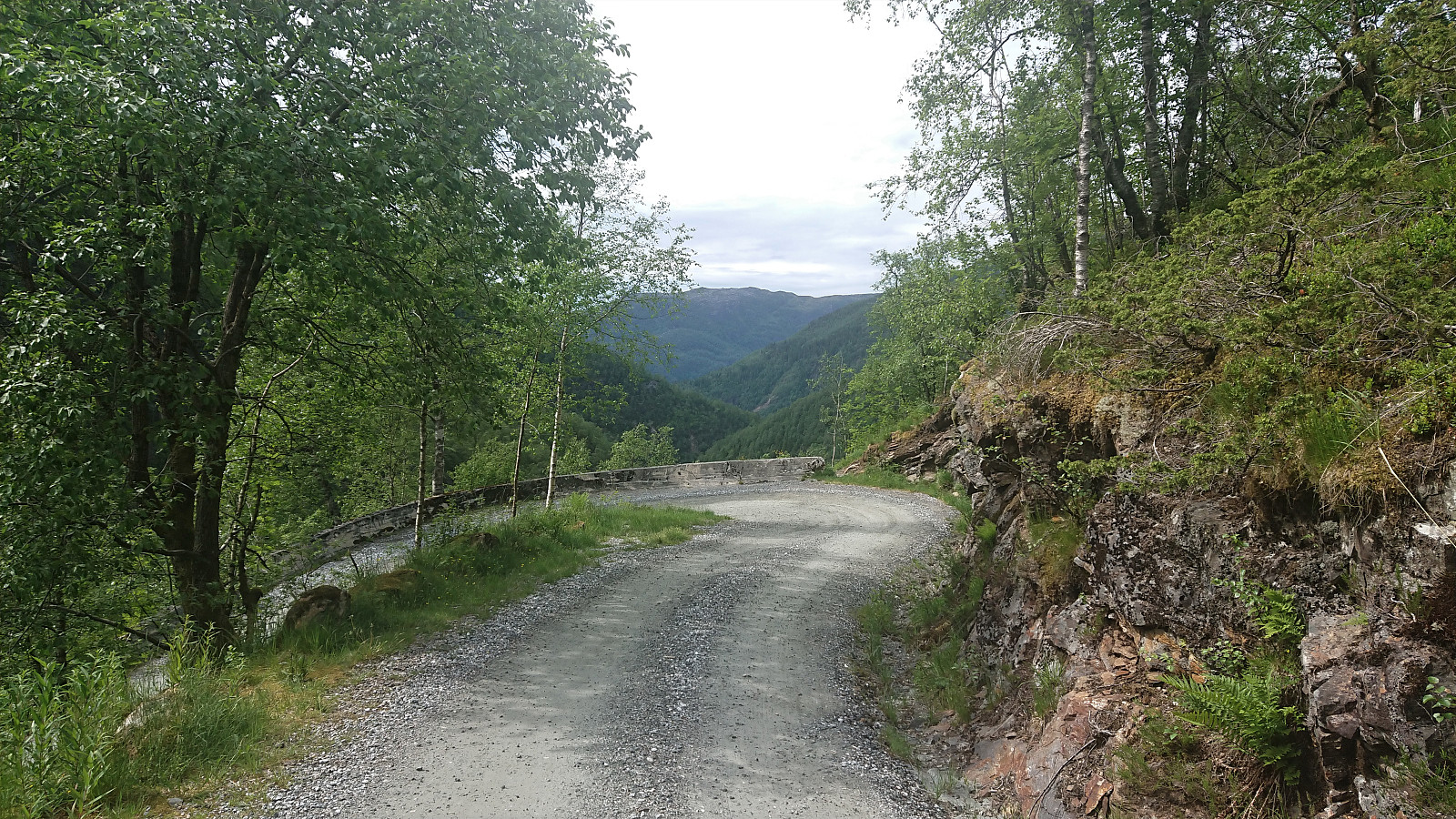
I was lucky to hitch a ride to the parking lot in Ardalen and therefore started my hike on the winding gravel road up to Herfindal. Note that while it is possible to drive further, i.e. all the way up to the parking lot at Herfindal, the narrow winding road with its limited spots for passing cars coming in the opposite direction may not be to everyone's liking.
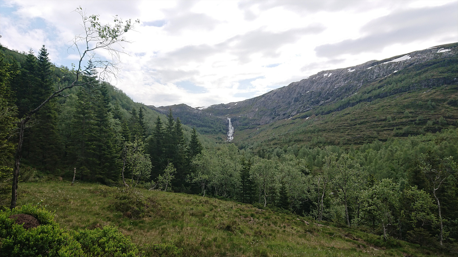
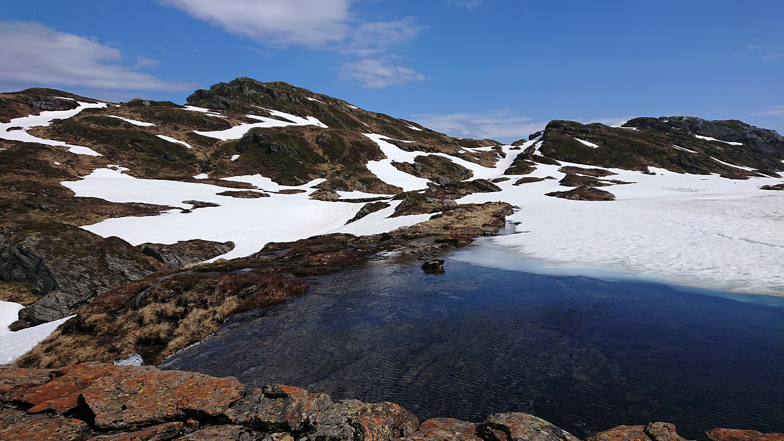
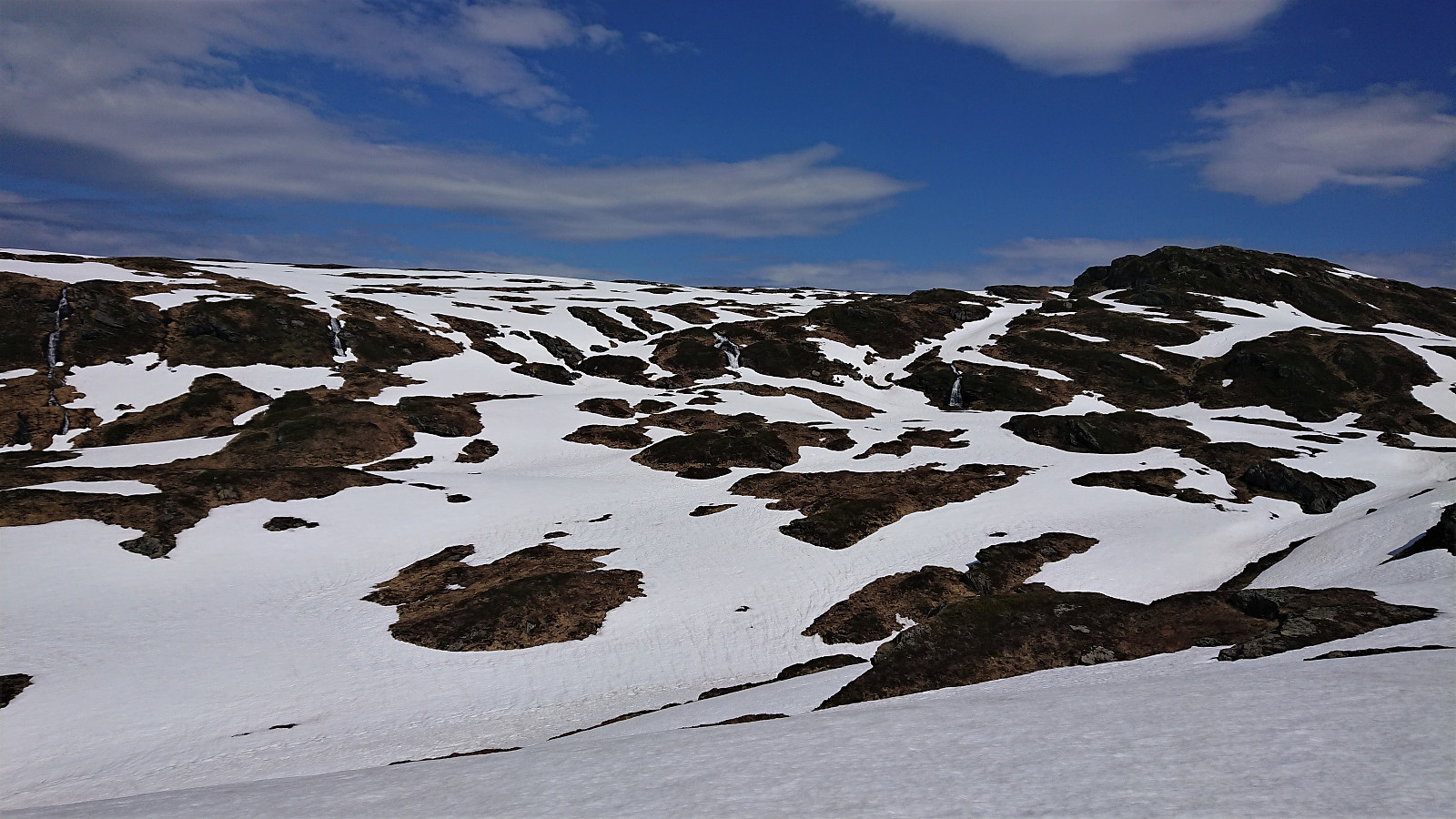
Upon reaching Budalen the wind picked up, and even though the weather was still very warm, I had to put on my jacket in order not to get cold. The snow also started appearing, and soon it was impossible to avoid. At Vardatjørnane the trail was crossing a small stream, which during the summer can probably be done without getting wet. Today that was not an option though due to all the melting snow.
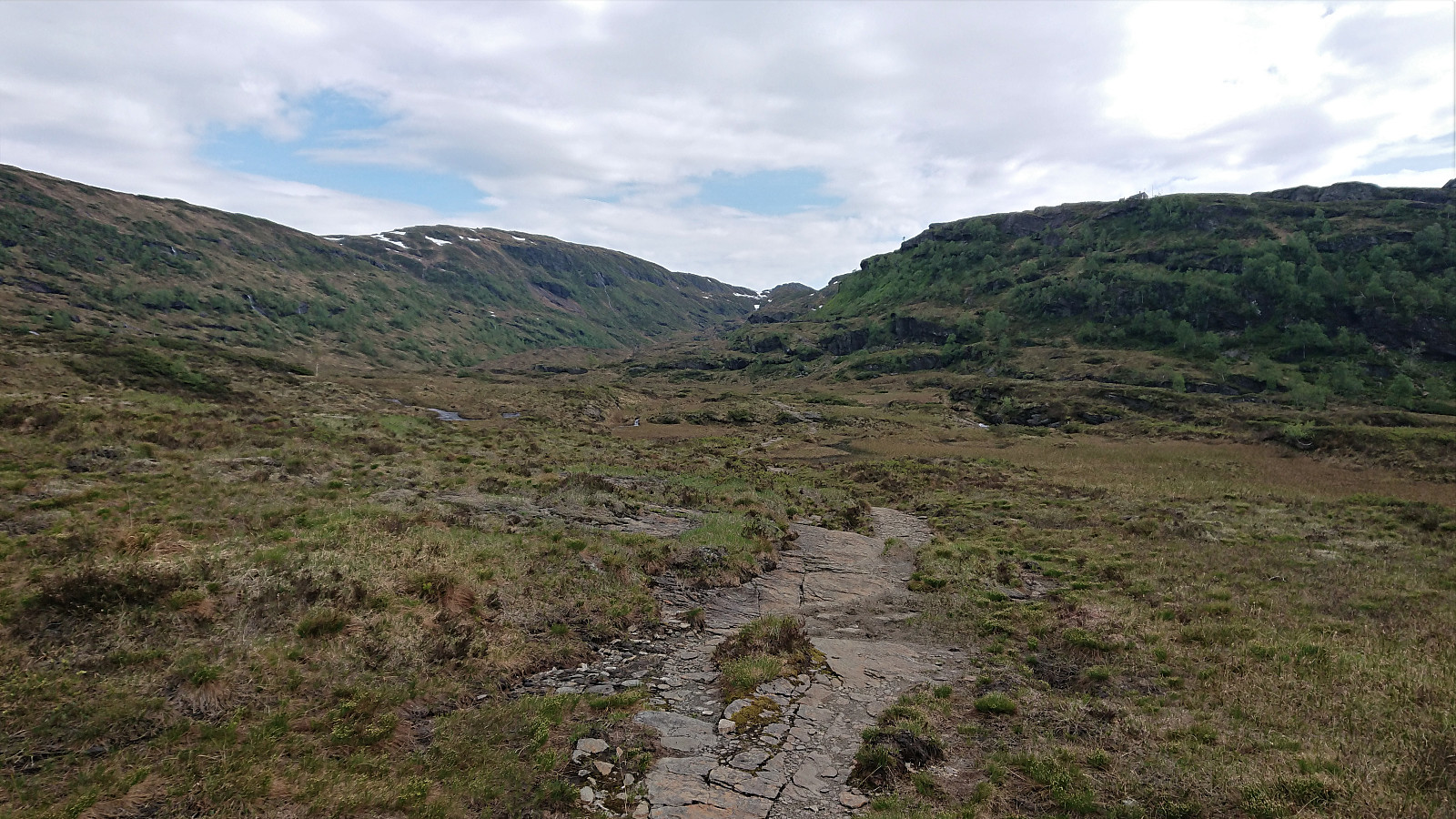
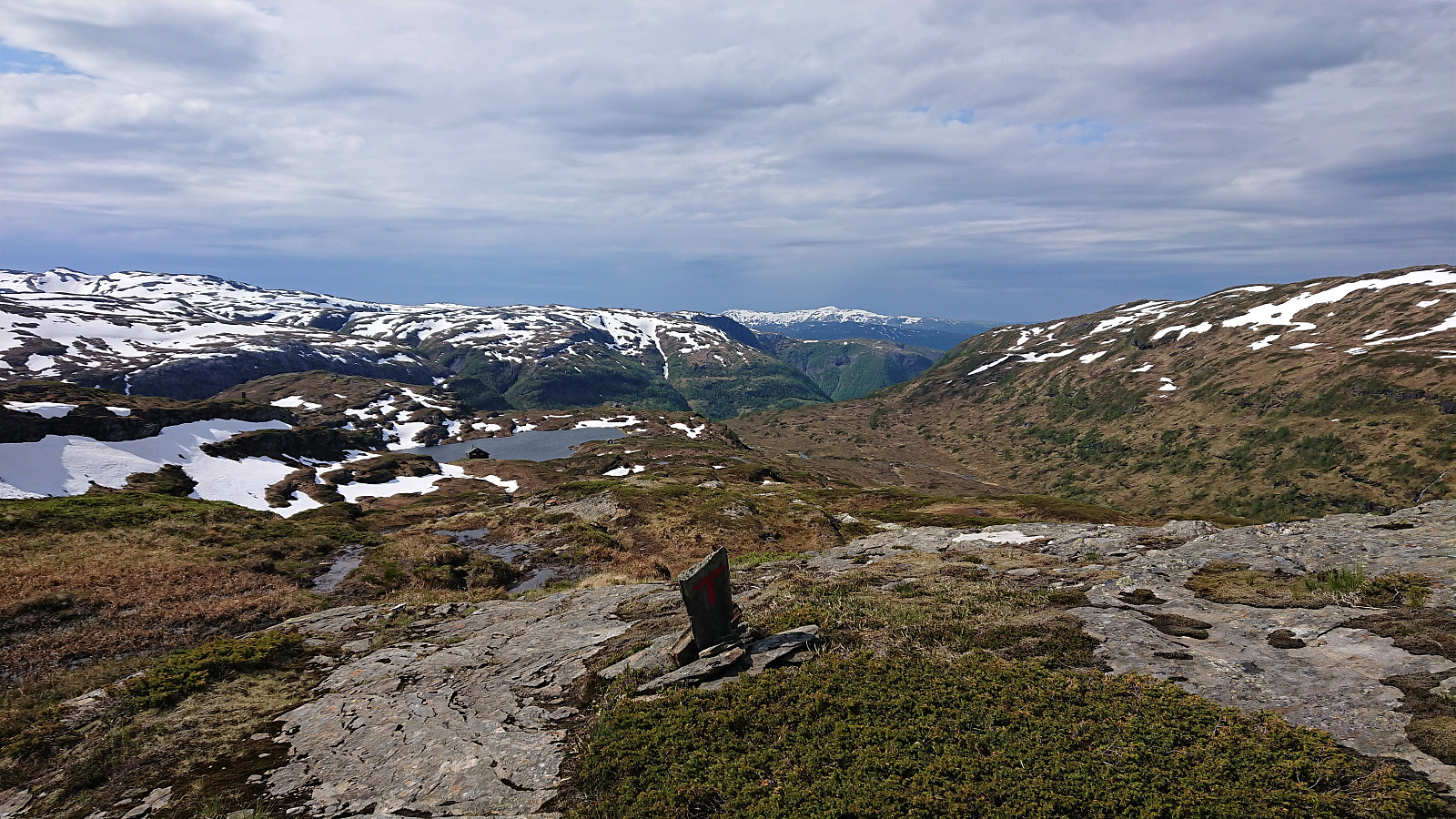
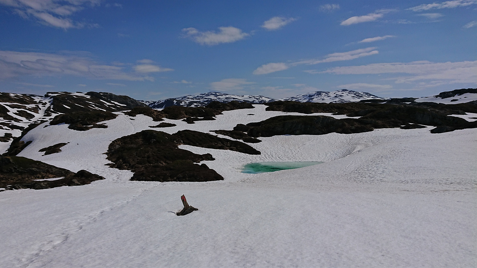
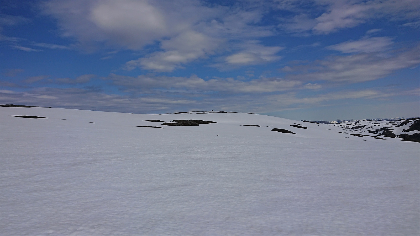
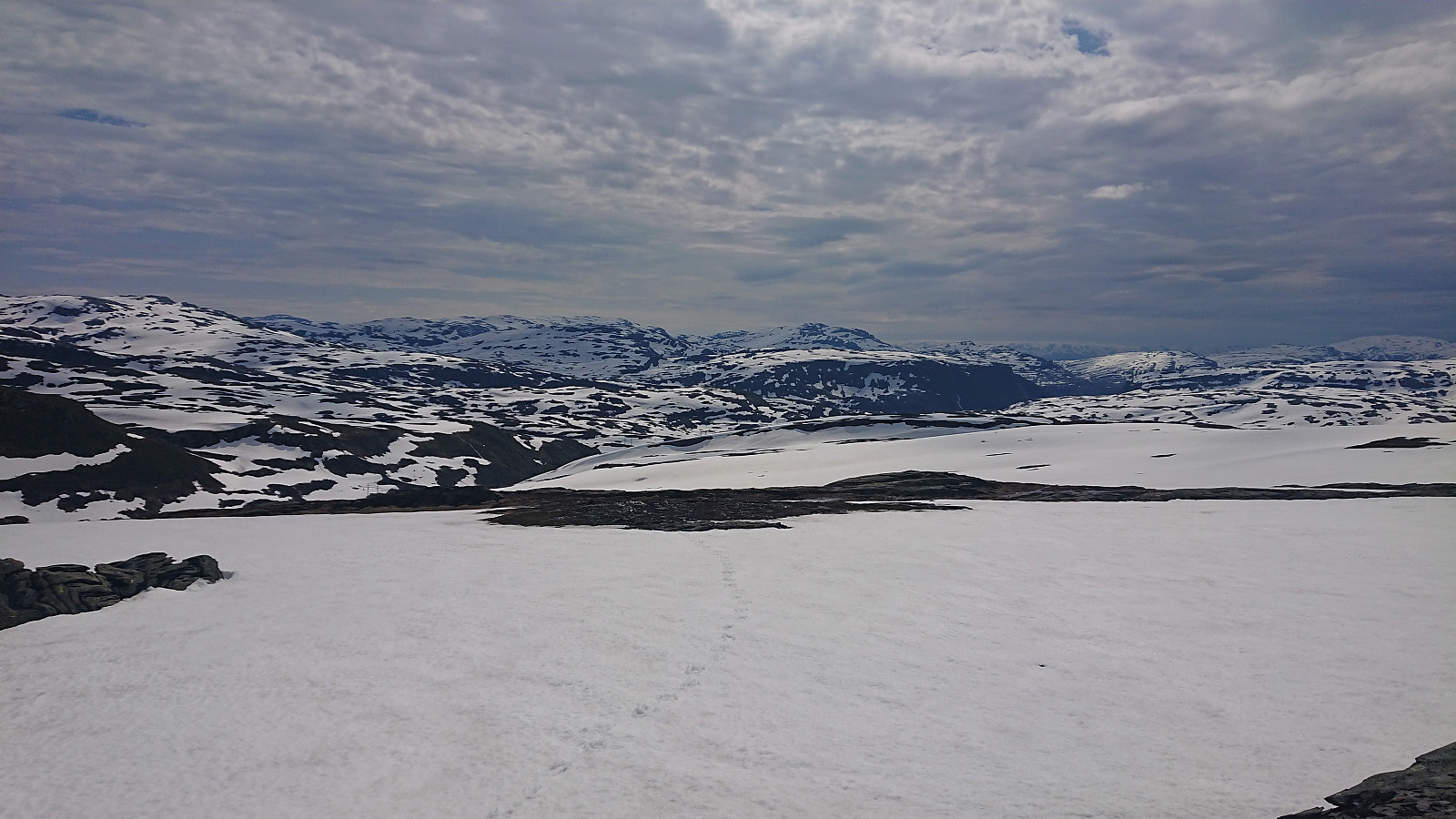
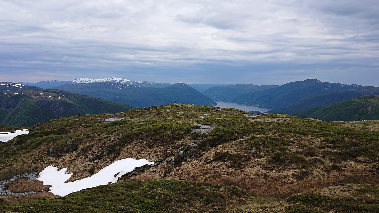
After crossing the stream, I left the marked trail and made my own way towards Knuskedalsfjellet, with the speed slightly reduced by now walking almost exclusively on snow. The summit was reached without any difficulties and provided nice views in all directions. I had a quick lunch break before continuing southwest towards Sædalshesten, trying to walk on the areas where the snow had melted away when possible.
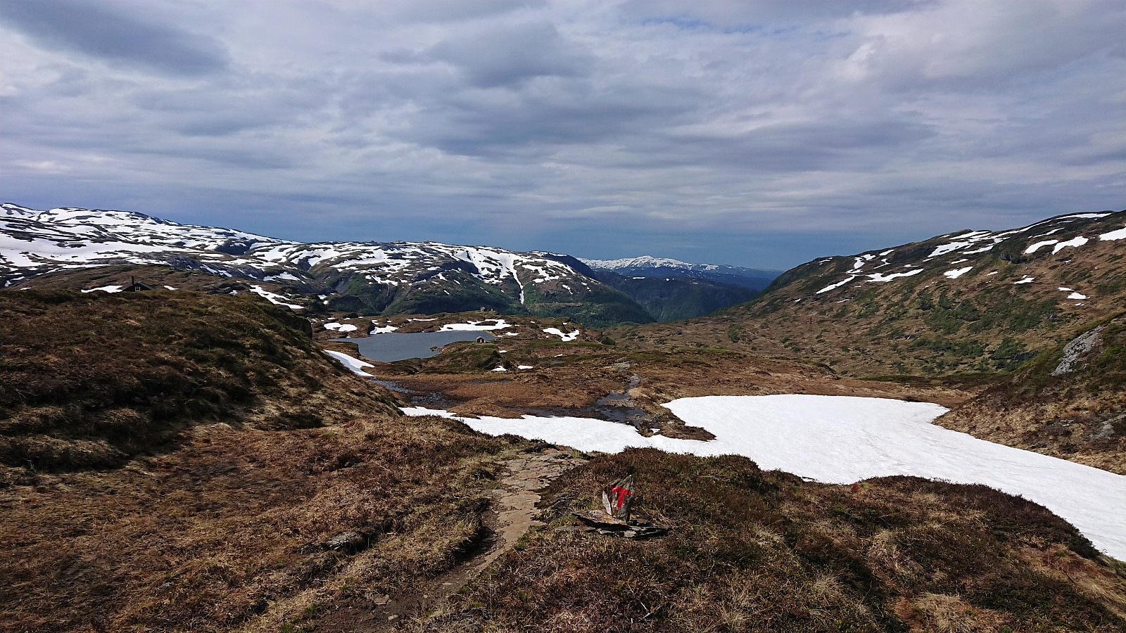
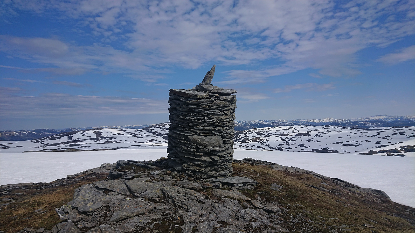
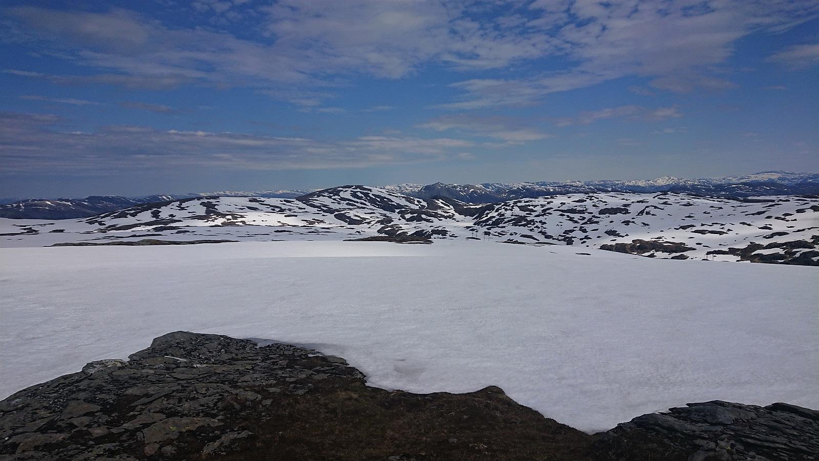
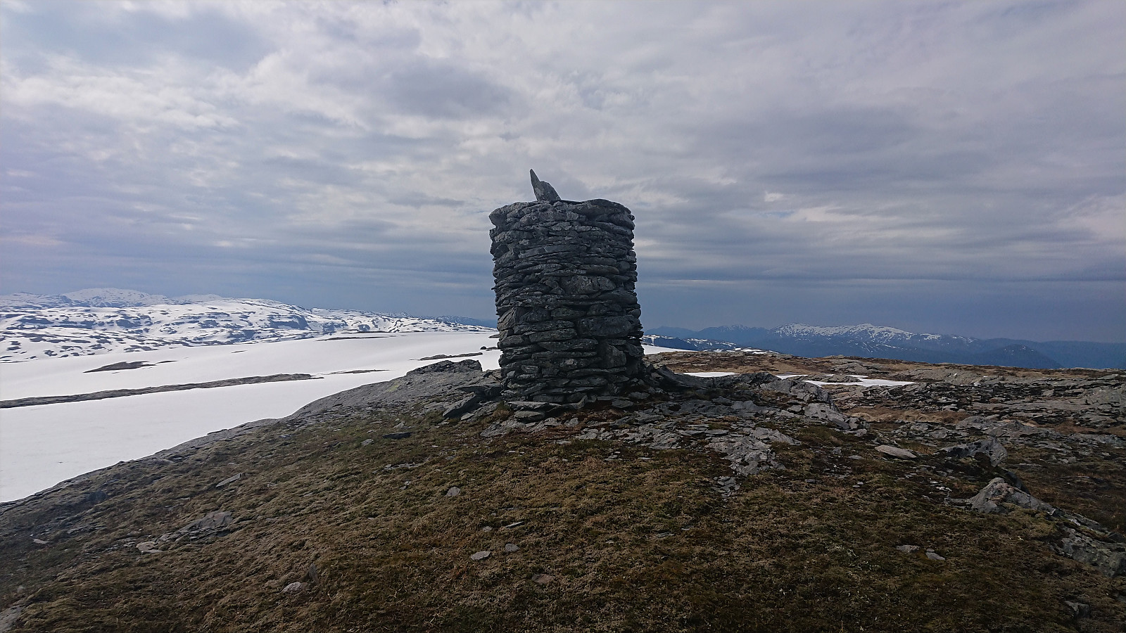
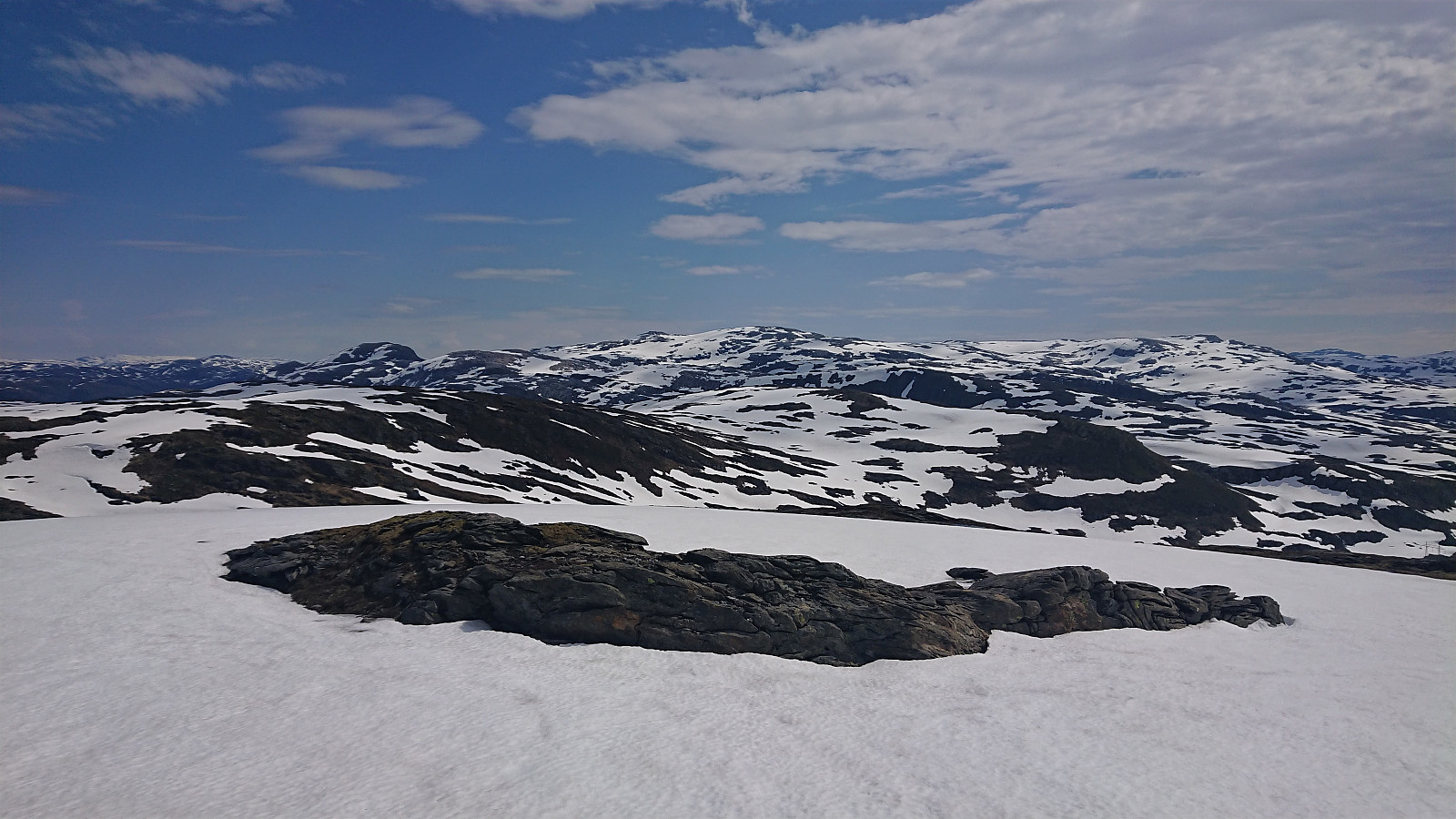
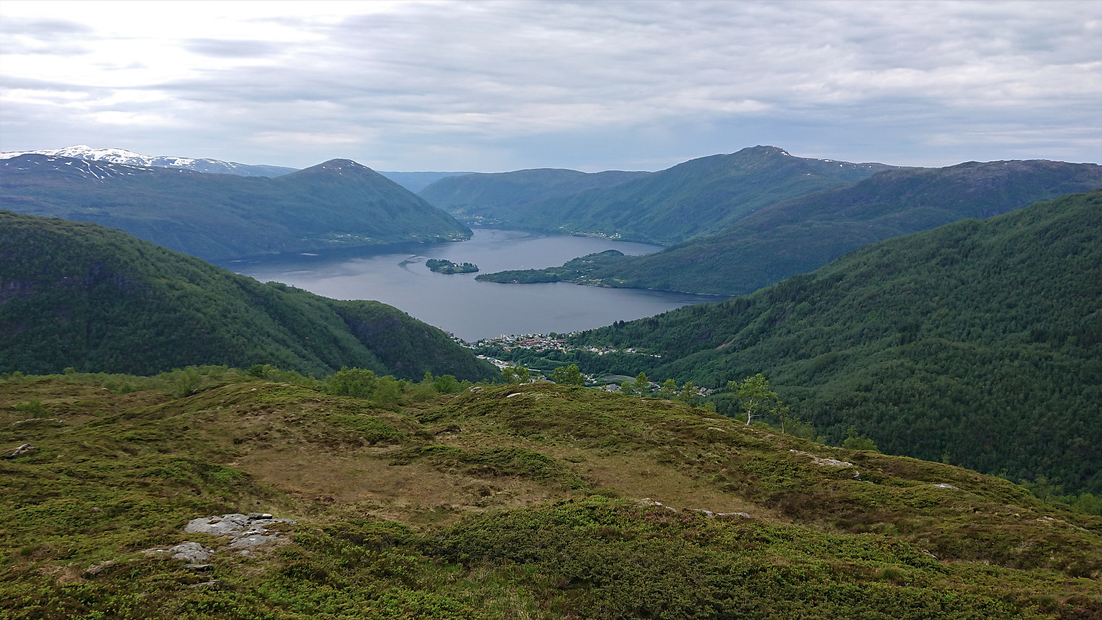
The summit area of Sædalshesten was easily reached, and I passed by the slightly lower 809 summit before arriving at the highest southwestern summit. Nice views down to the valleys and lakes to the southeast. I however did not stay long before continuing towards Bjørnsnipa, at times along a weak trail, or perhaps more of an animal track. When reaching the unnamed cabin northeast of Bjørnsnipa, a trail appeared, which I could then follow all the way to Bjørnsnipa, where I took another short break to enjoy the excellent views.
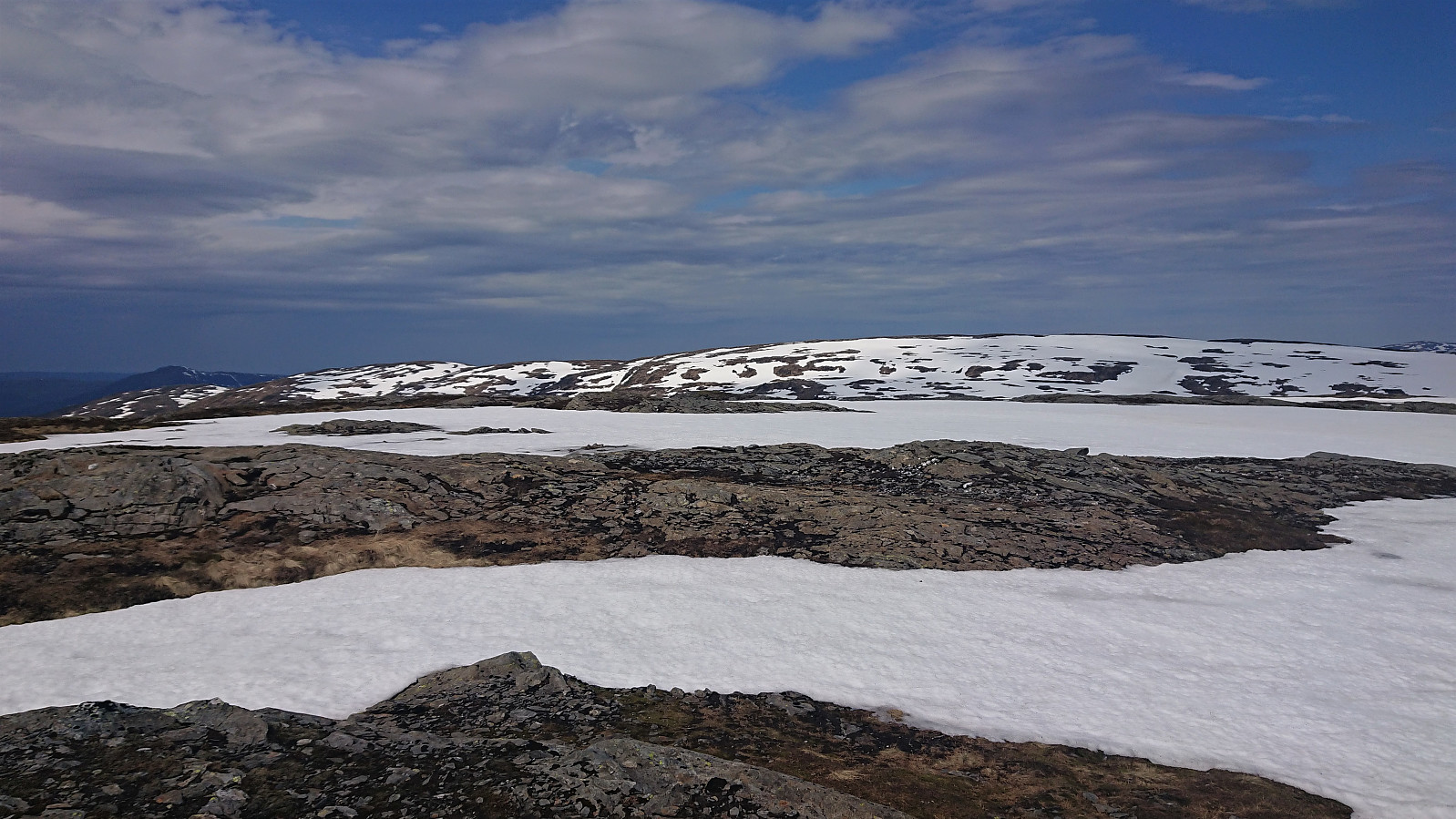
The trail continued southwest along the ridge, although it kept getting weaker, and at around 600 meters it completely disappeared. I therefore had to find my own way until at around 500 meters connecting with a trail coming up from Herfindalsvegen. This trail was even marked, well at least with one marker. Could this be all that was left of the trail marking supposed to have happened in 2018? I later noticed that the map indicates a trail heading south from the cabin northeast of Bjørnsnipa. Maybe this is where the trail I was now on came from?
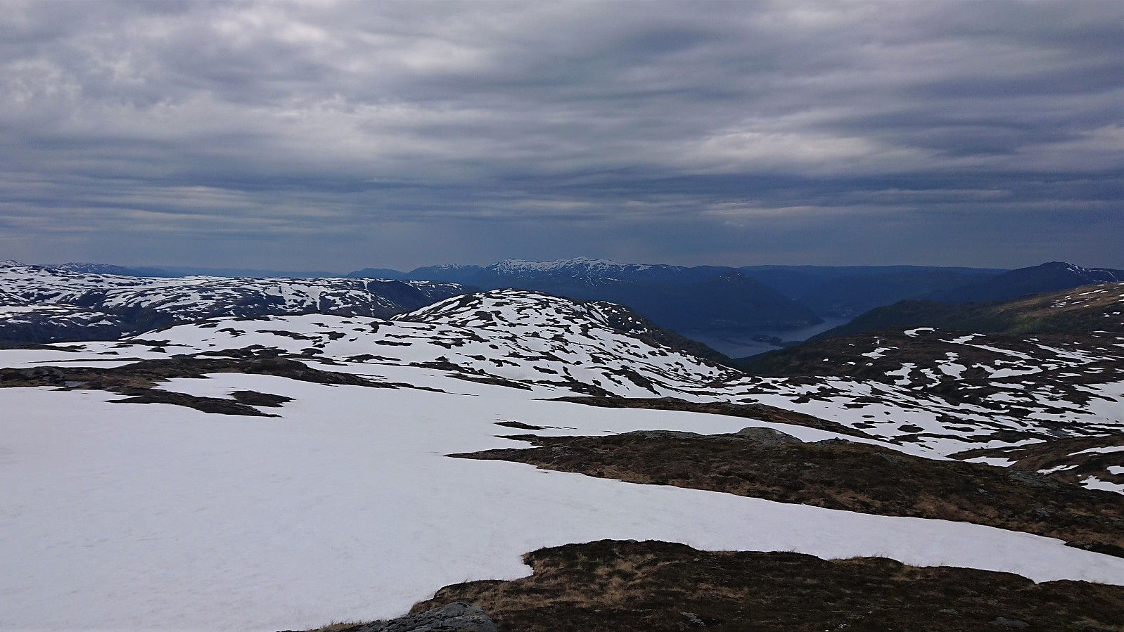
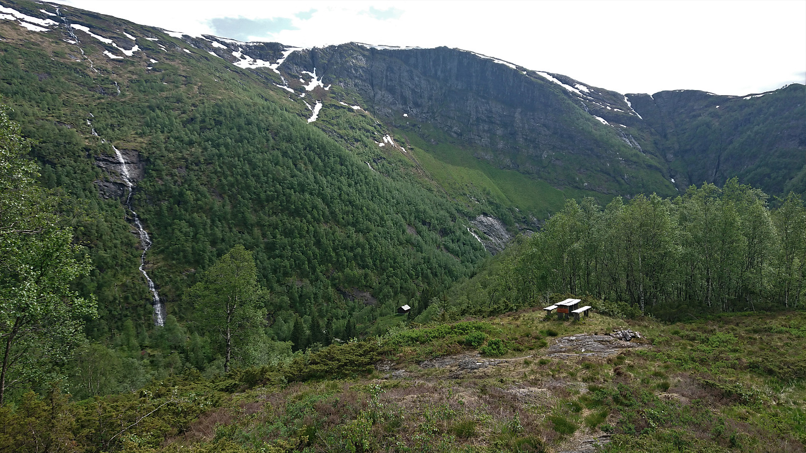
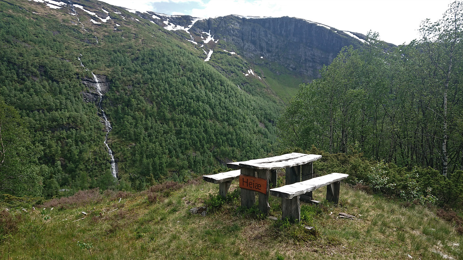
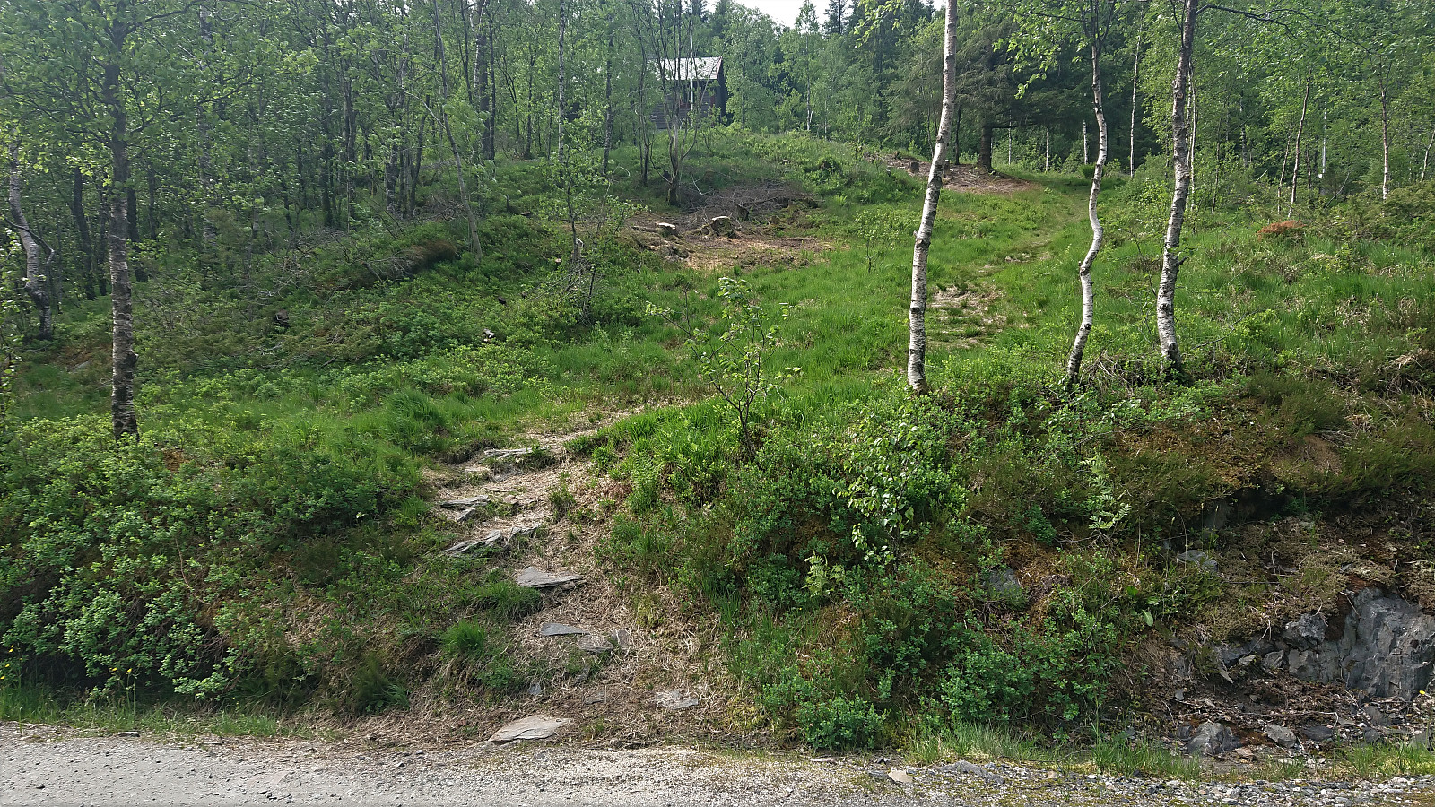
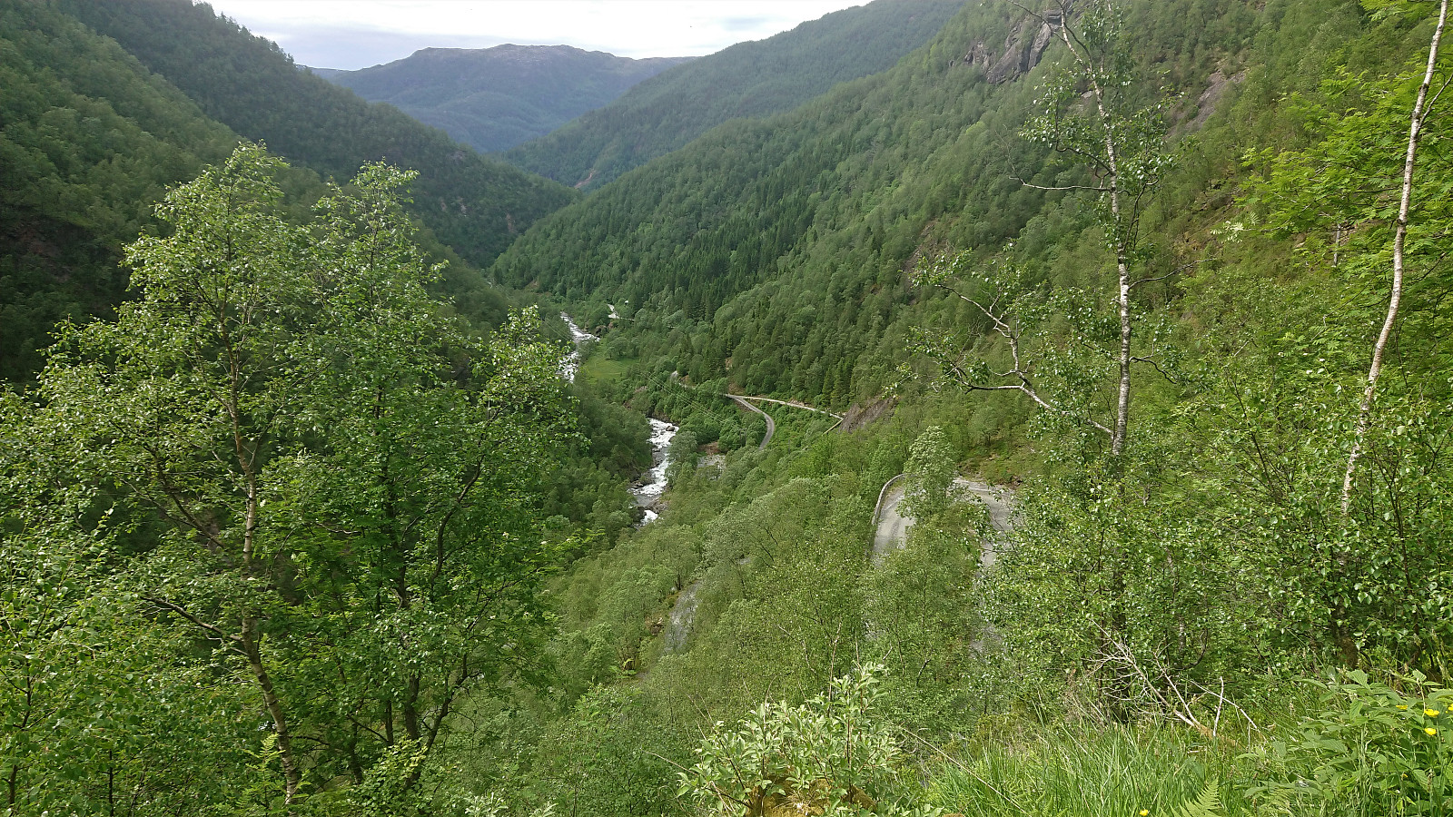
In any case, I was now on a trail, although not a very frequently used one, and soon arrived at a picnic area referred to as Heiæ. Here the trail also forked and I followed the option heading south, soon arriving at the gravel road of Herfindalsvegen. The hike was then concluded by following the roads to Vaksdal and the train back to Bergen.
In summary, a very nice hike with excellent views. The only part that can probably be improved is my route down from Bjørnsnipa to Herfindalsvegen. Pretty sure there should be a trail here. The trail I connected with at around 500 meters did continue northeast, so perhaps doing the hike in the opposite direction would help answer this question?


| Start date | 13.06.2020 09:24 (UTC+01:00 DST) |
| End date | 13.06.2020 16:14 (UTC+01:00 DST) |
| Total Time | 6h 49min |
| Moving Time | 6h 02min |
| Stopped Time | 0h 46min |
| Overall Average | 3.5km/h |
| Moving Average | 4.0km/h |
| Distance | 24.2km |
| Vertical meters | 1,132m |


User comments