
Café Knatten (14.06.2020)

Geschrieben von hbar (Harald Barsnes)

| Startpunkt | Årstadveien (57m) |
|---|---|
| Endpunkt | Lønborg (55m) |
| Tourcharakter | Bergtour |
| Tourlänge | 3h 51min |
| Entfernung | 16,0km |
| Höhenmeter | 855m |
| GPS |
|
| Besteigungen | Blåmanen Vest (552m) | 14.06.2020 |
|---|---|---|
| Emanuel Mohns utsikt (480m) | 14.06.2020 | |
| Lavet (527m) | 14.06.2020 | |
| Lavet SØ (526m) | 14.06.2020 | |
| Rundemanen (568m) | 14.06.2020 | |
| Besuche anderer PBE | BT-bu (296m) | 14.06.2020 |
| Bergen Radio Stasjonsbygning (553m) | 14.06.2020 | |
| Brushytten (412m) | 14.06.2020 | |
| Café Knatten (211m) | 14.06.2020 | |
| Dræggehytten (433m) | 14.06.2020 | |
| Fjellstova (ruin) (213m) | 14.06.2020 | |
| Hellegrind (199m) | 14.06.2020 | |
| Hus vest for Rundemansmasten (546m) | 14.06.2020 | |
| Kvitebjørnen (482m) | 14.06.2020 | |
| Kåken (511m) | 14.06.2020 | |
| Ishuset ved Langevatnet (127m) | 14.06.2020 | |
| Ravneberg (281m) | 14.06.2020 | |
| Sandvikshytten (345m) | 14.06.2020 |
Café Knatten
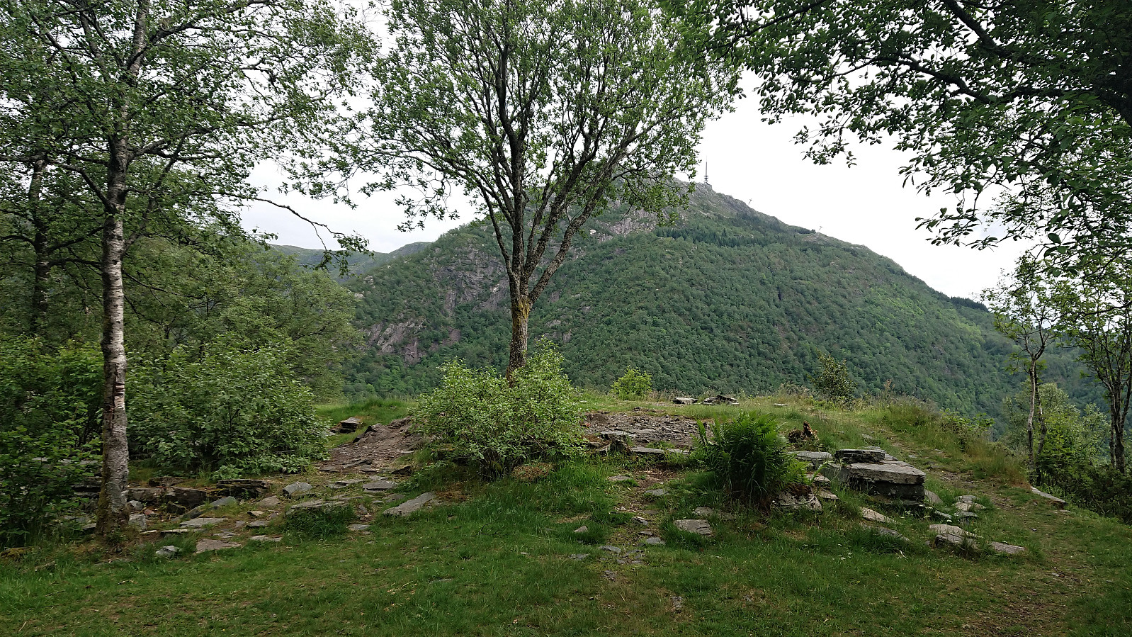
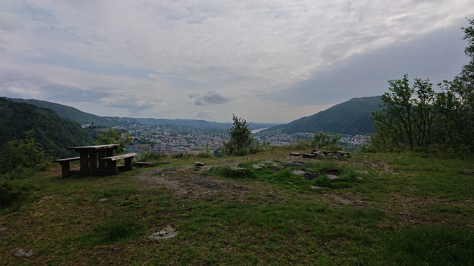
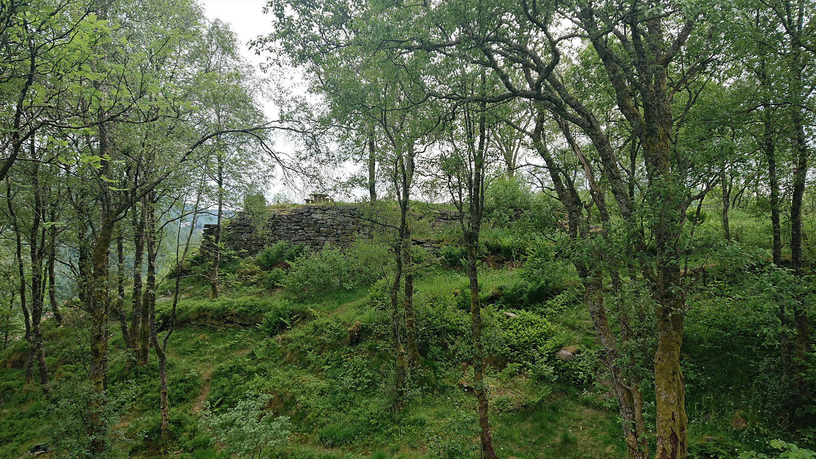
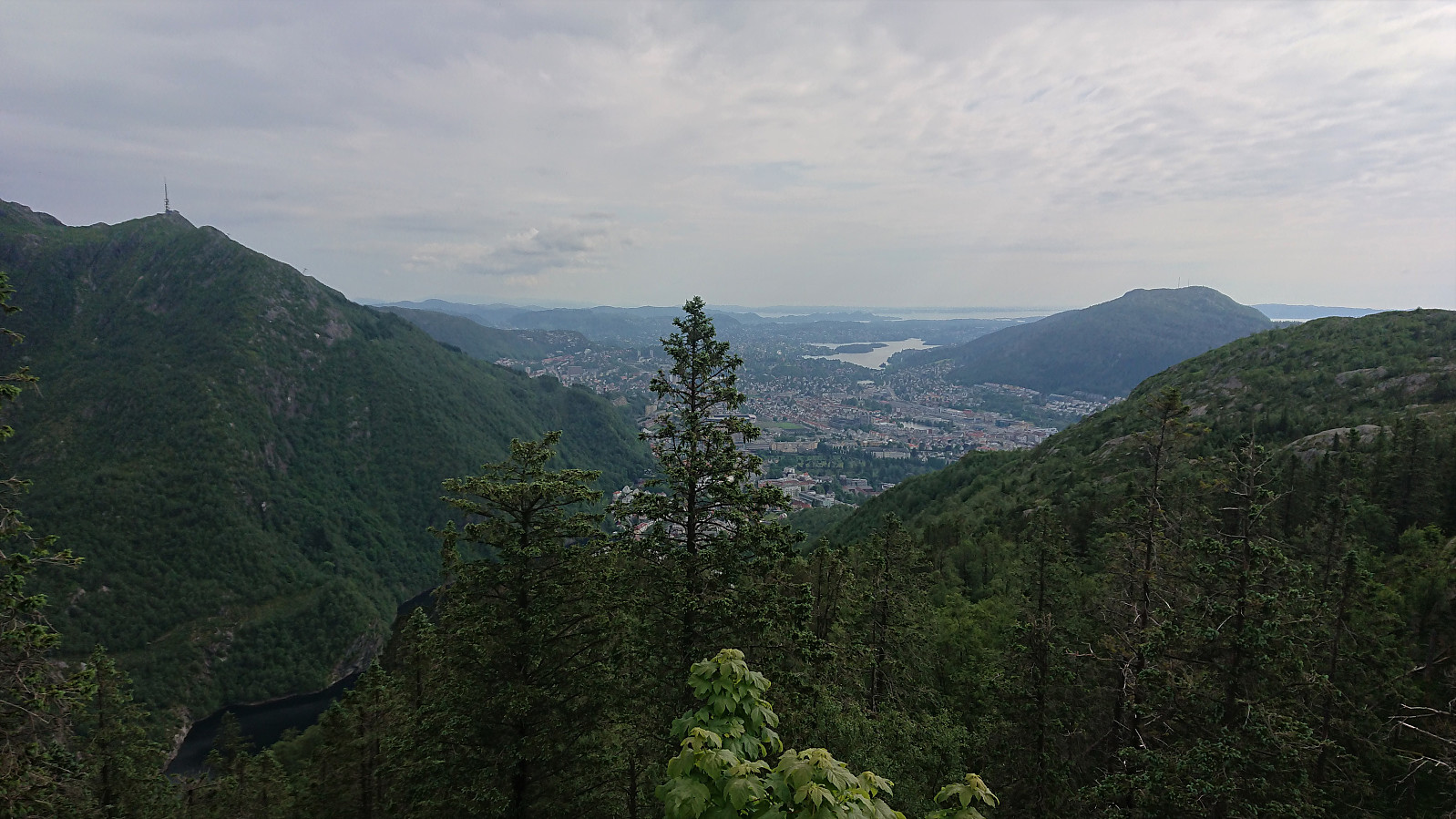
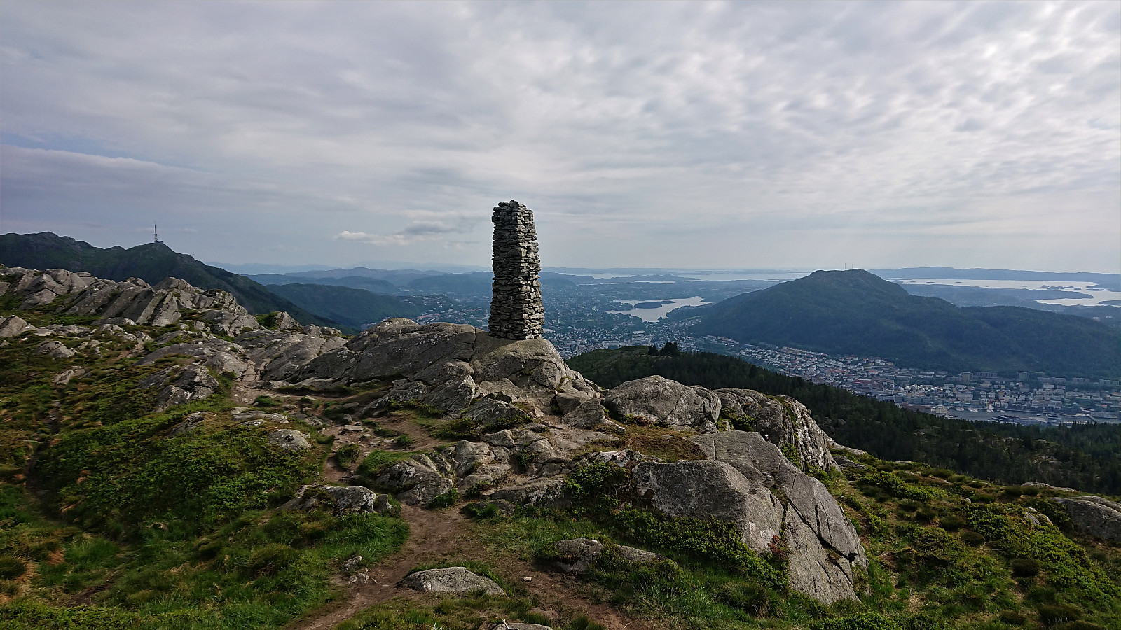
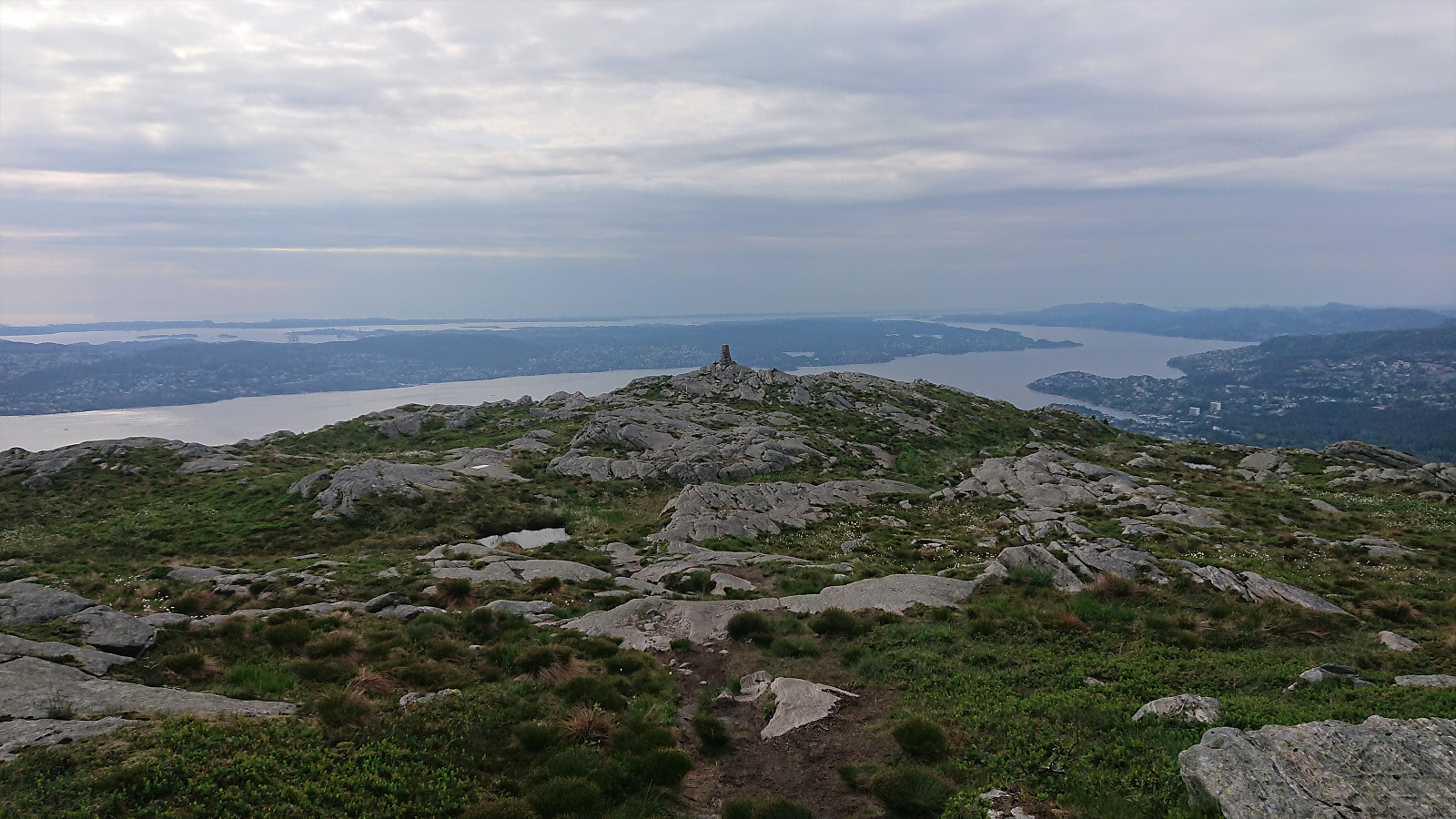
As part of the research for locating the cabins and cabins ruins mentioned in Bergensernes Fjellverden II, I also came across a location I had passed many times before but did not know the history of, namely Café Knatten. A new visit was therefore in order to take a closer look. The views are now of course more limited than what can be seen in the old pictures, especially towards Svartediket and Hardbakkedalen, but the views to the south are still pretty much intact. For an overview of the history of Café Knatten please see this excellent article in Årstadposten.
| Startzeitpunkt | 14.06.2020 15:50 (UTC+01:00 SZ) |
| Endzeitpunkt | 14.06.2020 19:41 (UTC+01:00 SZ) |
| Gesamtzeit | 3h 51min |
| Zeit in Bewegung | 3h 32min |
| Pausenzeit | 0h 18min |
| Gesamtschnitt | 4,2km/h |
| Bewegungsschnitt | 4,5km/h |
| Entfernung | 16,0km |
| Höhenmeter | 854m |


Benutzerkommentare