
Cycling: Hauglandsdalen, Bontveit and Totland (01.06.2020)

Written by hbar (Harald Barsnes)

| Start point | Lønborg (55m) |
|---|---|
| Endpoint | Lønborg (57m) |
| Characteristic | Bike trip - road |
| Duration | 5h 57min |
| Distance | 69.4km |
| Vertical meters | 1,542m |
| GPS |
|
| Visits of other PBEs | Brannhytten på Totland (267m) | 01.06.2020 |
|---|---|---|
| Bryggen i Bergen (1m) | 01.06.2020 | |
| Domus Medica (353m) | 01.06.2020 | |
| Fantoft stavkirke (95m) | 01.06.2020 | |
| Fjellro (privat) (380m) | 01.06.2020 | |
| Hjelpekorpshytten (363m) | 01.06.2020 | |
| Kramboden (387m) | 01.06.2020 | |
| Nygårdsbroene (5m) | 01.06.2020 | |
| Vinterlund (privat) (335m) | 01.06.2020 | |
| Tollhaug (privat) (358m) | 01.06.2020 |
Cycling: Hauglandsdalen, Bontveit and Totland
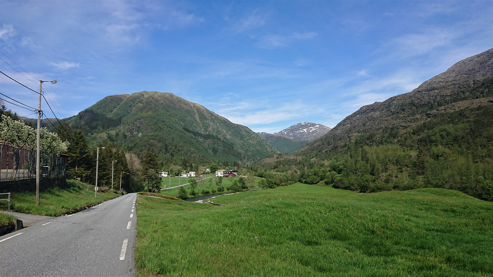
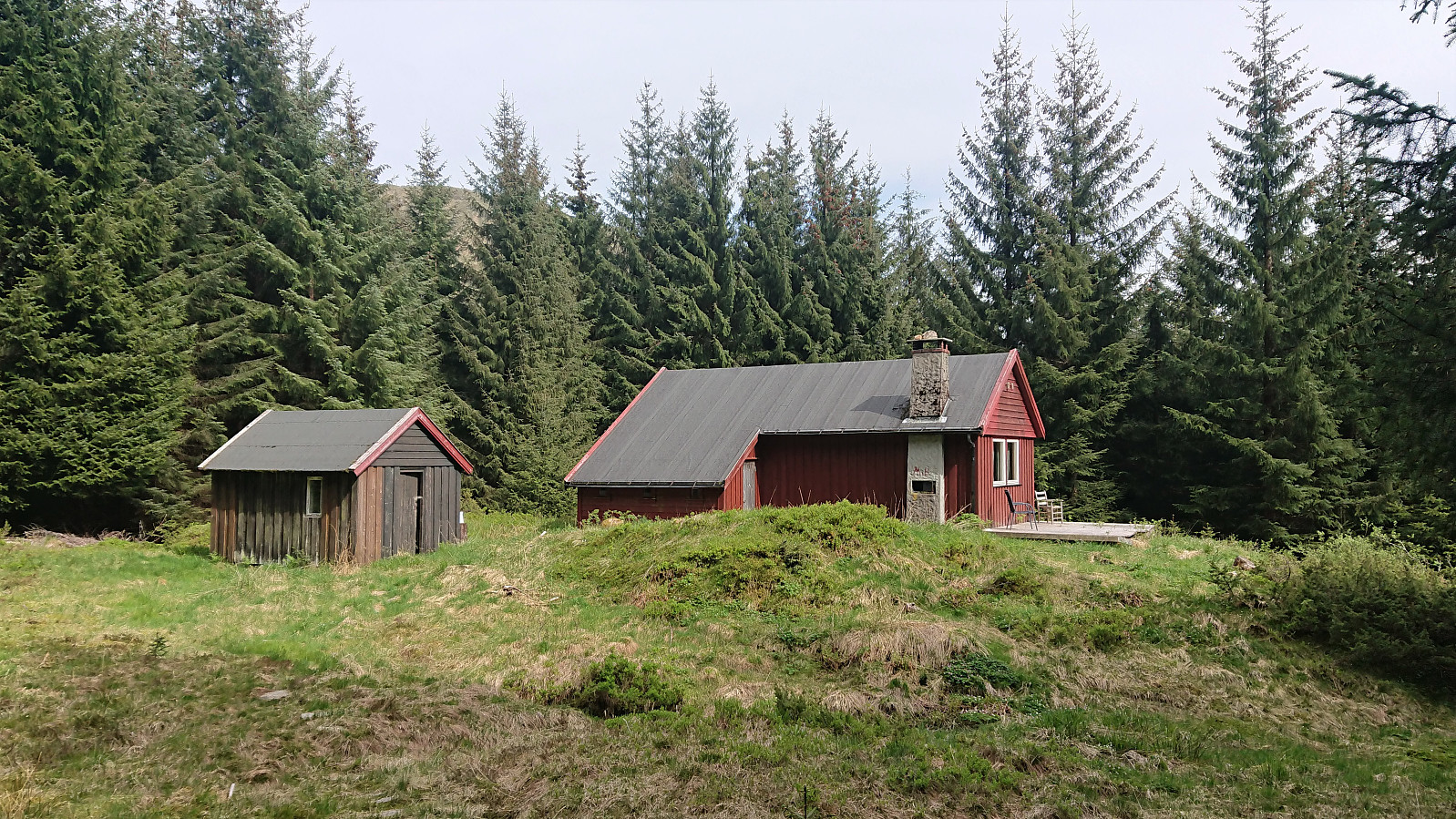
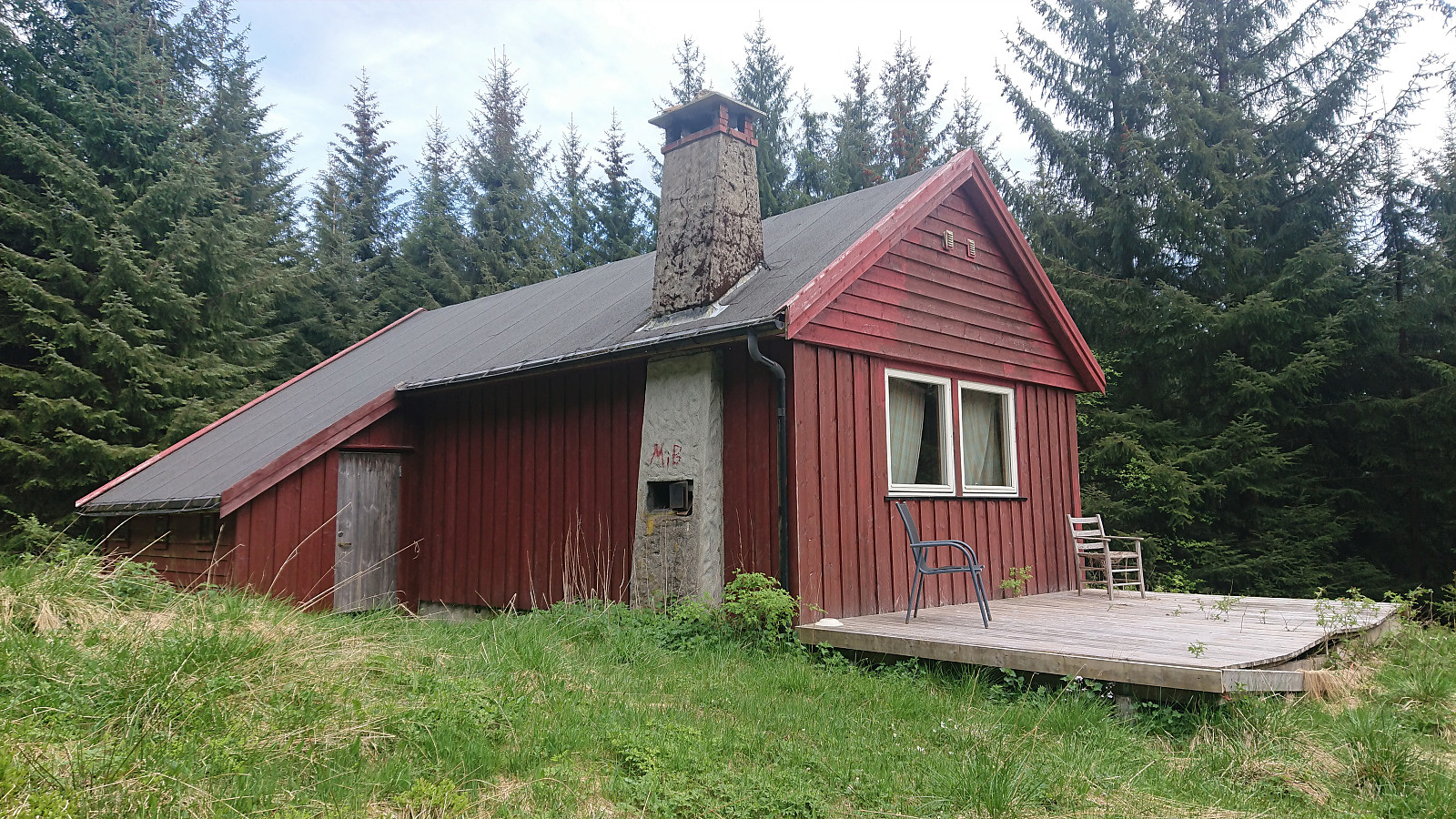
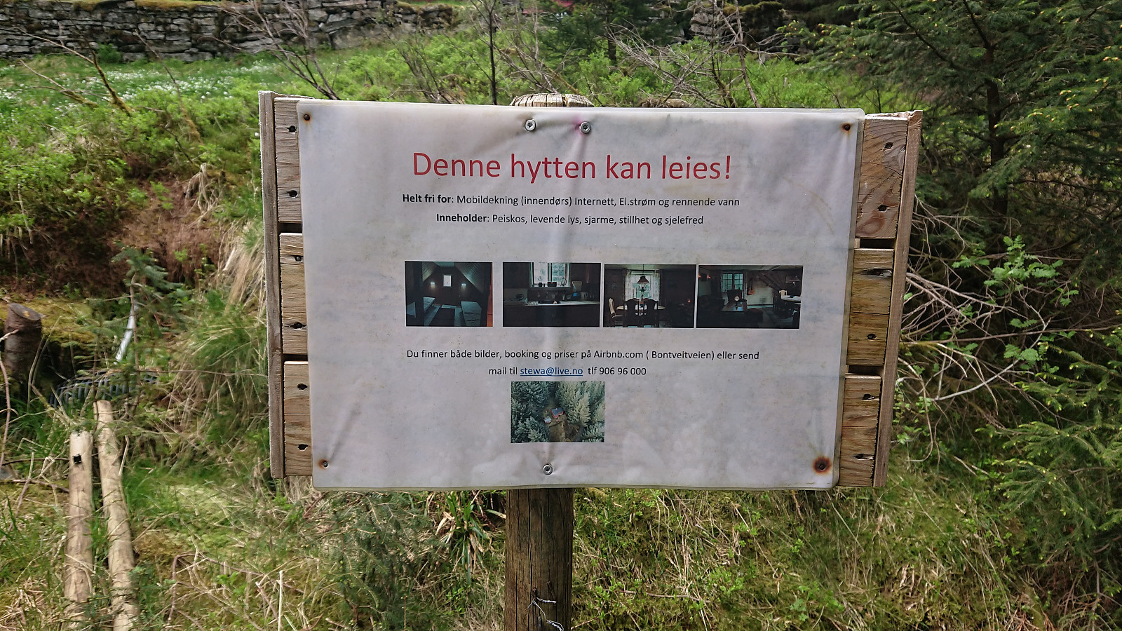
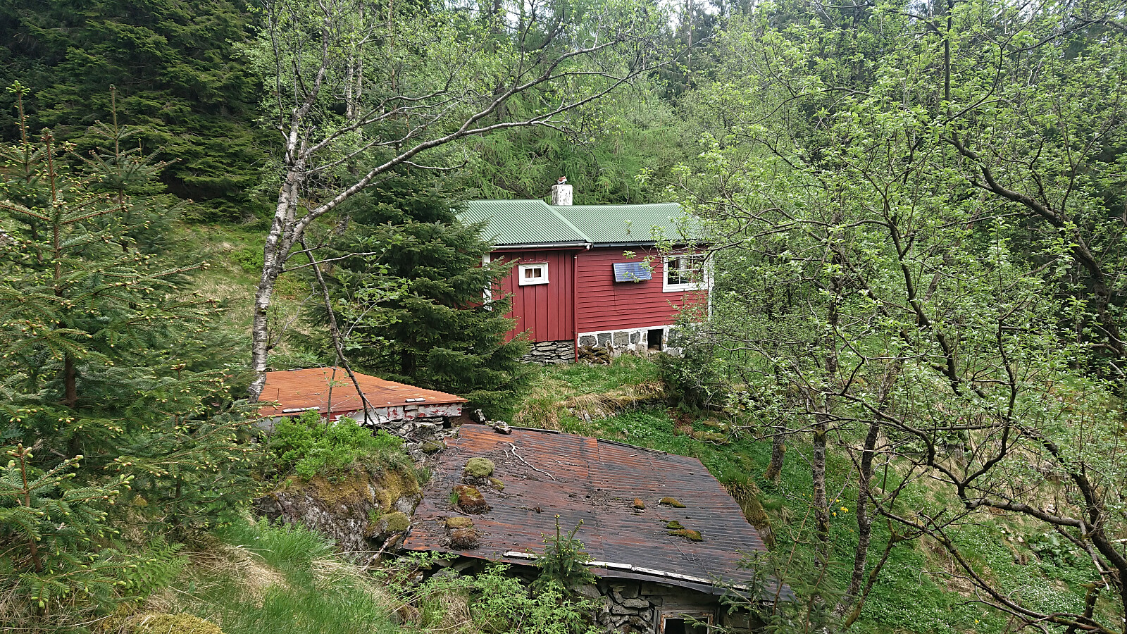
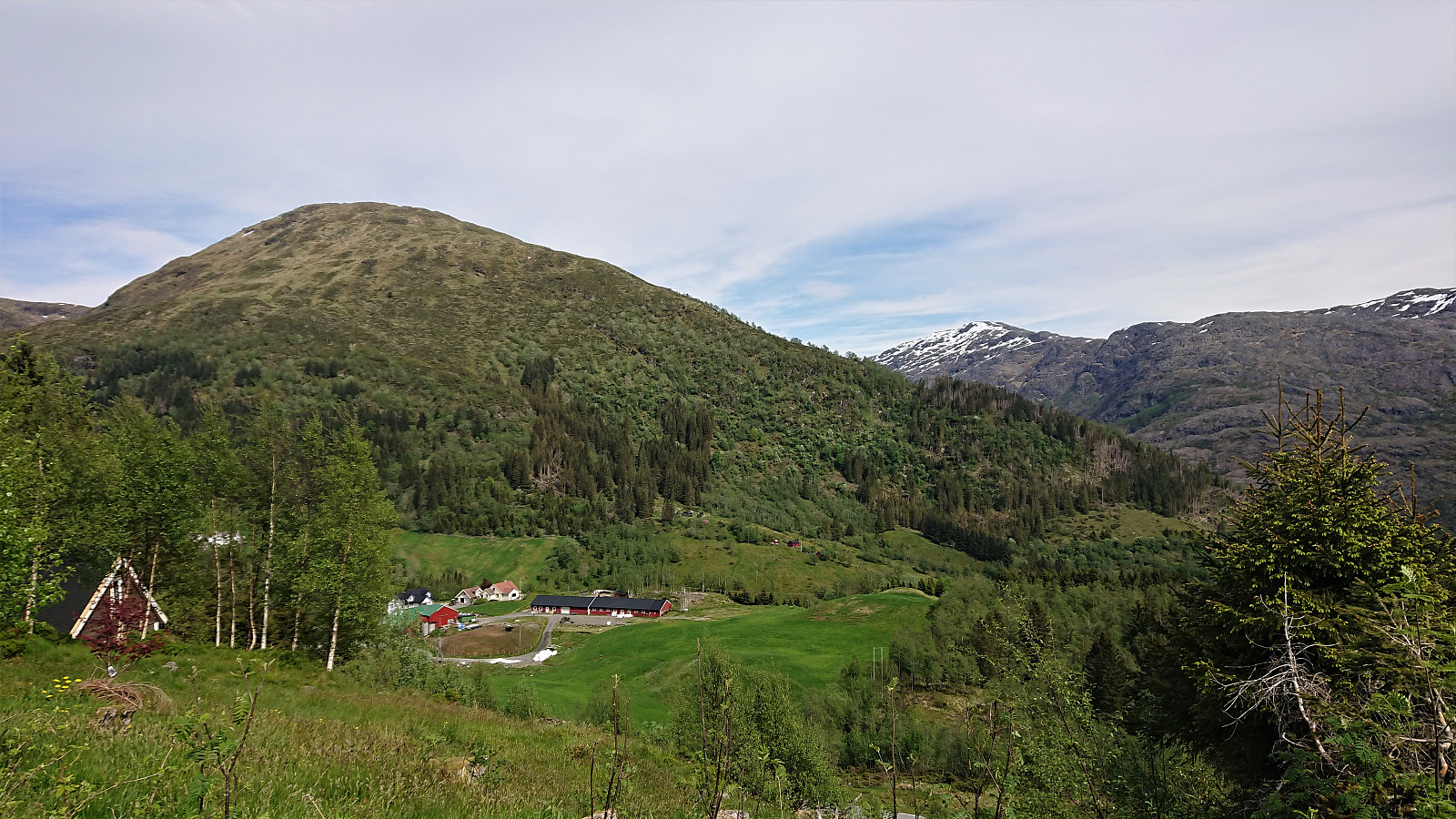
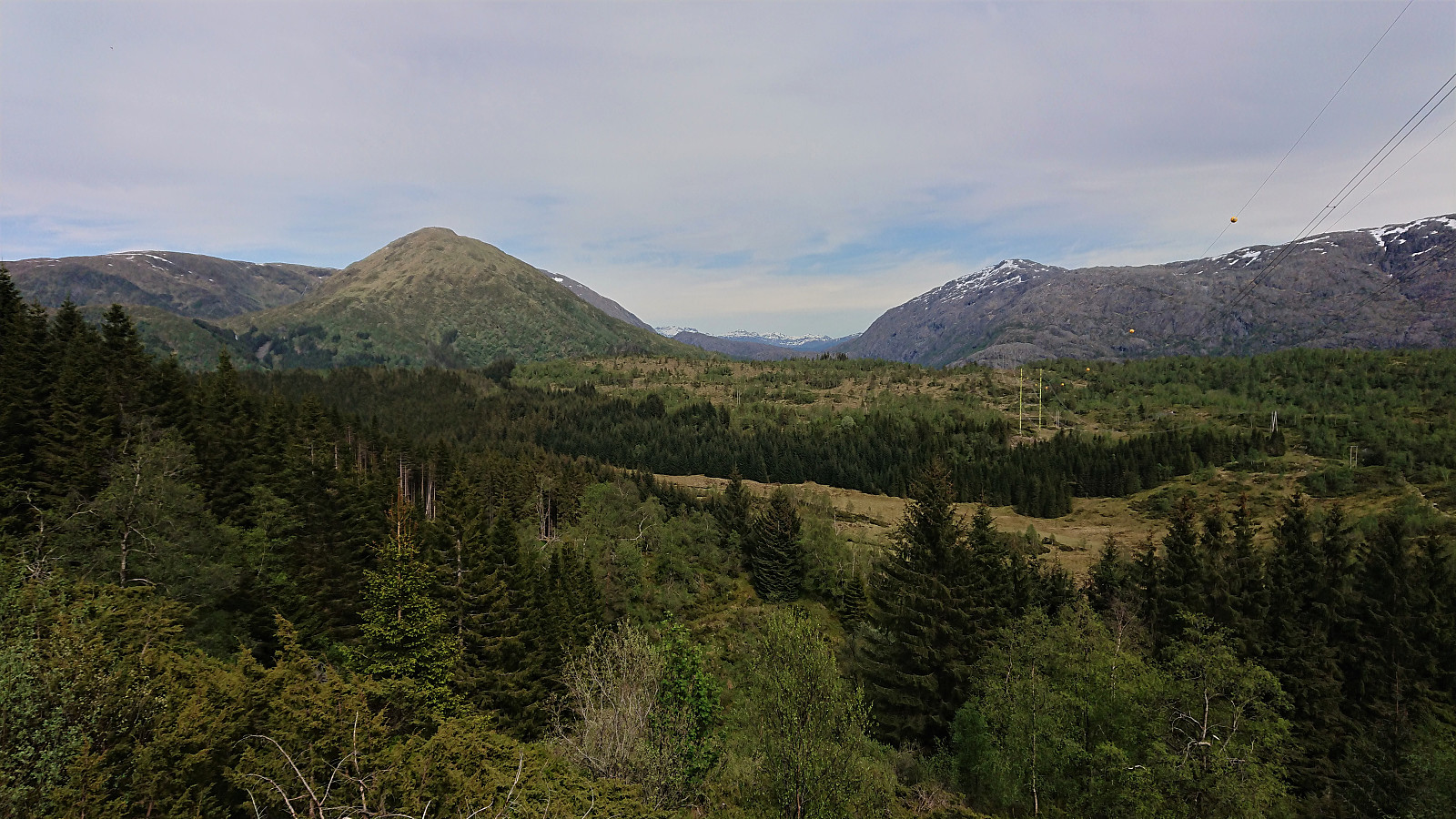
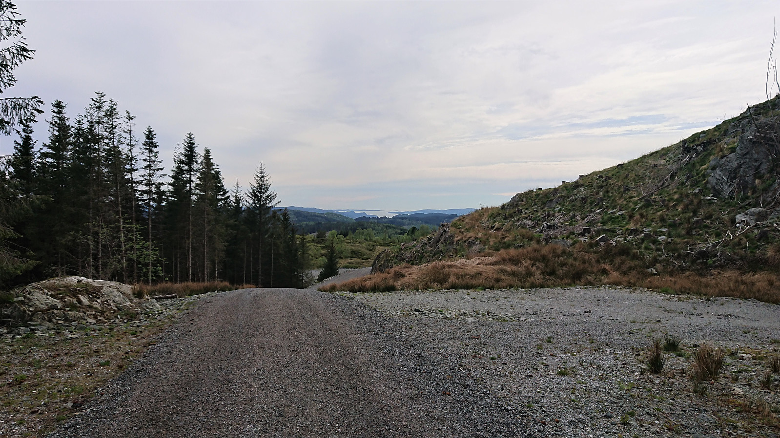
Cycling trip to visit a couple more cabins from Bergensernes Fjellverden II (BF II). Started by cycling to Kalandseidet and then following the scenic road up Hauglandsdalen. After the steep climb up to Bontveit, I could follow a gravel road all the way to Domus Medica and Hjelpekorpshytten. Both have most likely seen better days, and the nice views indicated in BF II are now completely hidden by trees. Note that Hjelpekorpshytten can be rented.
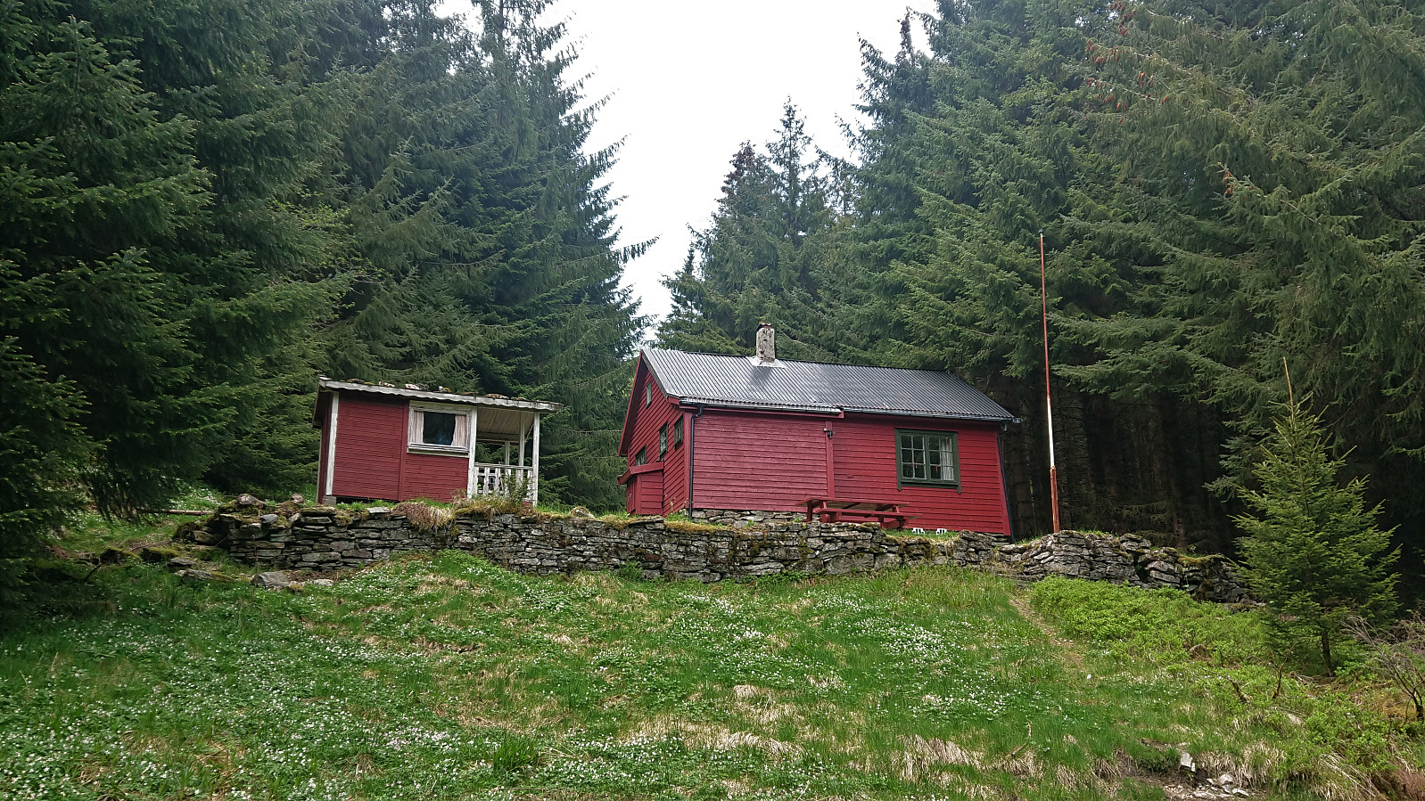
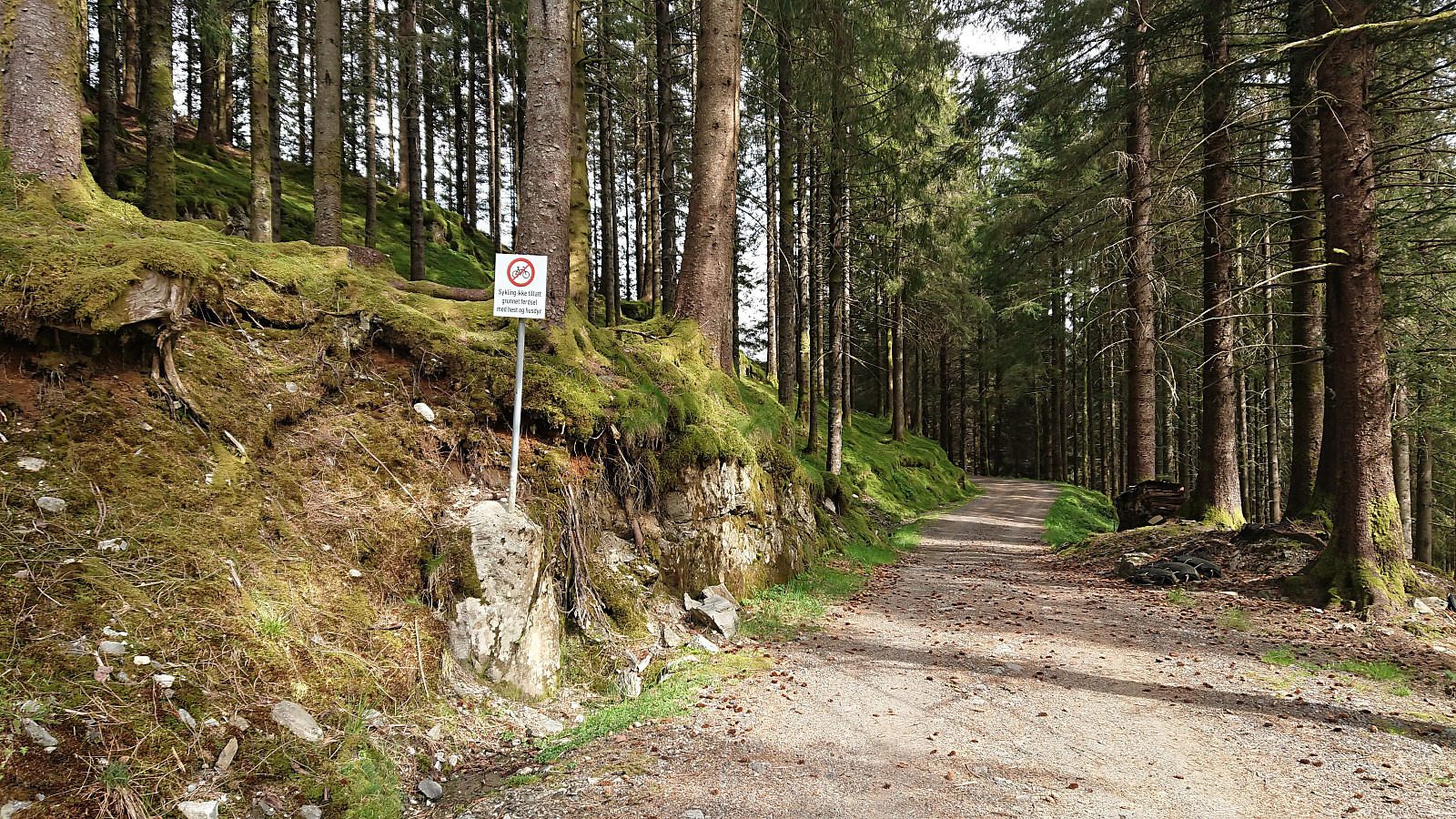
Back at the main road, I left it almost immediately to start on another gravel road that would take me all the way to Riple. I soon passed by Tollhaug and, with a minor detour, Fjellro. Cabins that are also mentioned in BF II, but not added to the BF II list as they are now privately owned. The same goes for Vinterlund, which I passed on the way to Domus Medica and Hjelpekorpshytten.
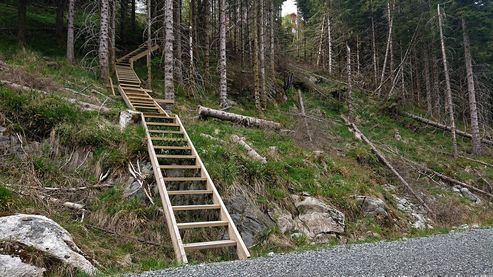
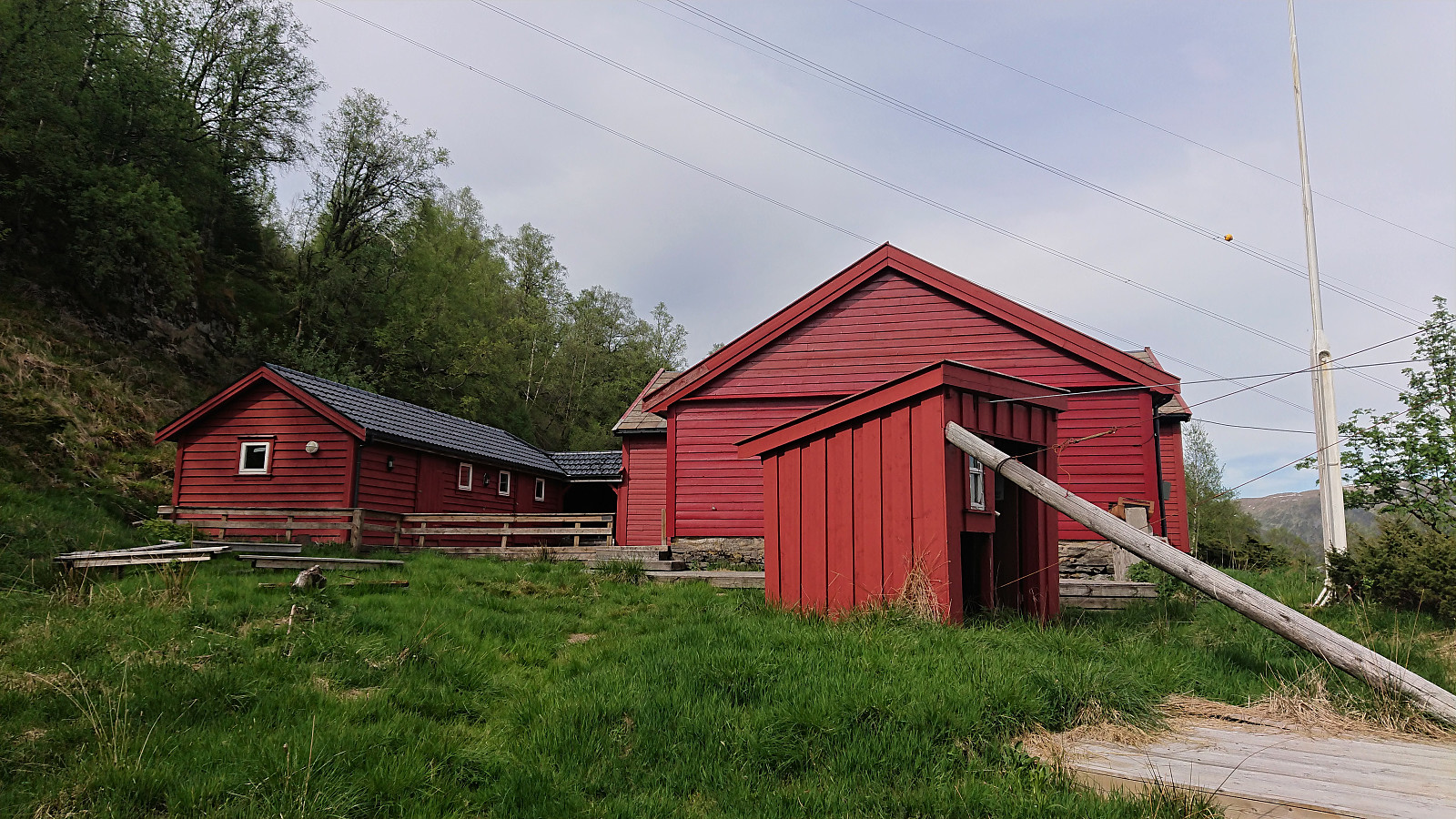
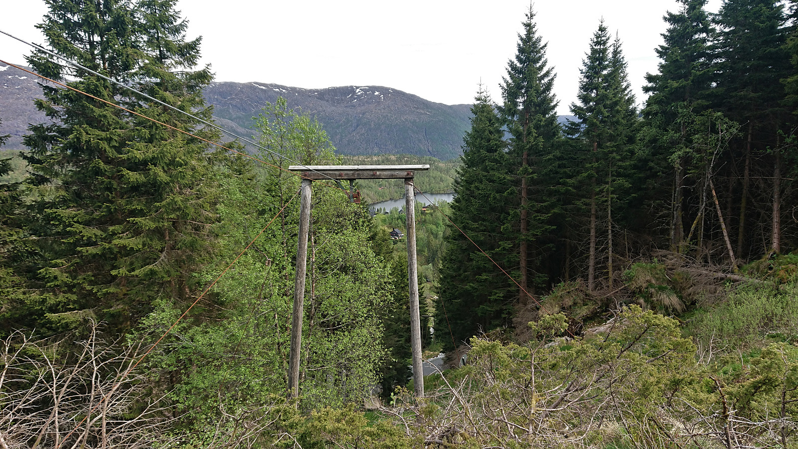
Next, I made a quick stop at Kramboden (Bontveitvegen 576), a cabin owned by NHH (Norwegian School of Economics). Here the long staircase up to the cabin was in the process of being refurbished, although they had not yet made it all the way to the cabin. The cabin also included an old transportation system for carrying goods up to Kramboden from Bontveitvegen.
After a short break just before the gravel road finally started descending, I continued down to Riple, where I made a quick stop at, or at least close to, what used to be Brannhytten (Totlandsvegen 478). Yet another cabin mentioned in BF II that now seems to be under private ownership.
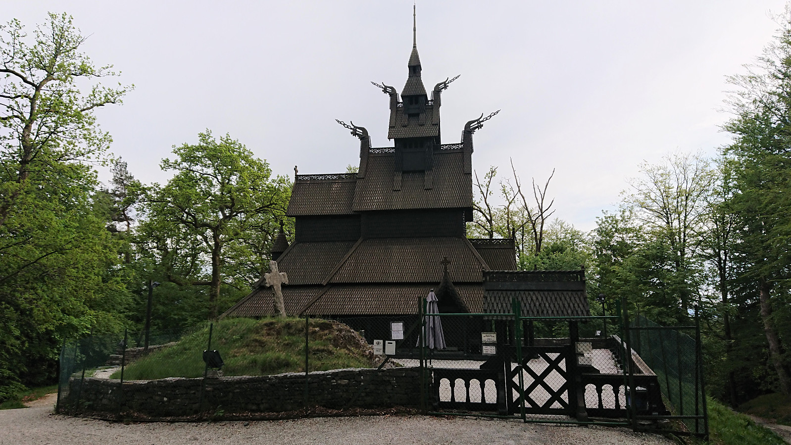
The trip was concluded by cycling back home to Lønborg, only stopping for a quick visit of Fantoft stavkirke, which I do not remember ever having visited before.
| Start date | 01.06.2020 13:02 (UTC+01:00 DST) |
| End date | 01.06.2020 18:59 (UTC+01:00 DST) |
| Total Time | 5h 57min |
| Moving Time | 5h 39min |
| Stopped Time | 0h 18min |
| Overall Average | 11.7km/h |
| Moving Average | 12.3km/h |
| Distance | 69.4km |
| Vertical meters | 1,542m |


User comments