
Tour Skiing to Mount Auskjeret with my Daugther (23.05.2020)

Geschrieben von Solan (Atle Solholm)

| Startpunkt | Overøye Ski Resort (390m) |
|---|---|
| Endpunkt | Overøye Ski Resort (390m) |
| Tourcharakter | Randonnée/Telemark |
| Tourlänge | 3h 18min |
| Entfernung | 7,2km |
| Höhenmeter | 968m |
| GPS |
|
| Besteigungen | Auskjeret (1.340m) | 23.05.2020 |
|---|
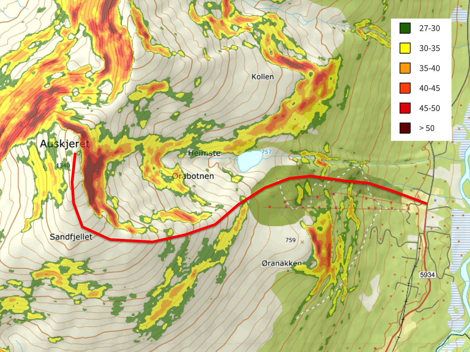
We woke up early this morning, and went in my daughter’s RAV4 to the Overøye Stordal Alpine Center [N: Overøye Stordal Skisenter]. Due to heavy snowfall over two weeks, followed by rapid thawing over the next few days, there had been a lot of avalanches over the last 4 days; hence when discussing this trip the previous evening, we had been quite eager to pick a mountain that we could hike without climbing any slopes exceeding 30°. Auskjeret in Fjord Municipality is well known as a “safe mountain”; i.e. people even climb it when huge avalanches have just occurred on the neighbour mountain which is called Ørastolen. [We actually climbed Mount Ørastolen a little more than a year ago, my daughter, and I; and just three weeks later there was a tremendous avalanche traversing the entire east side of the mountain, just where we had been ascending the mountain].
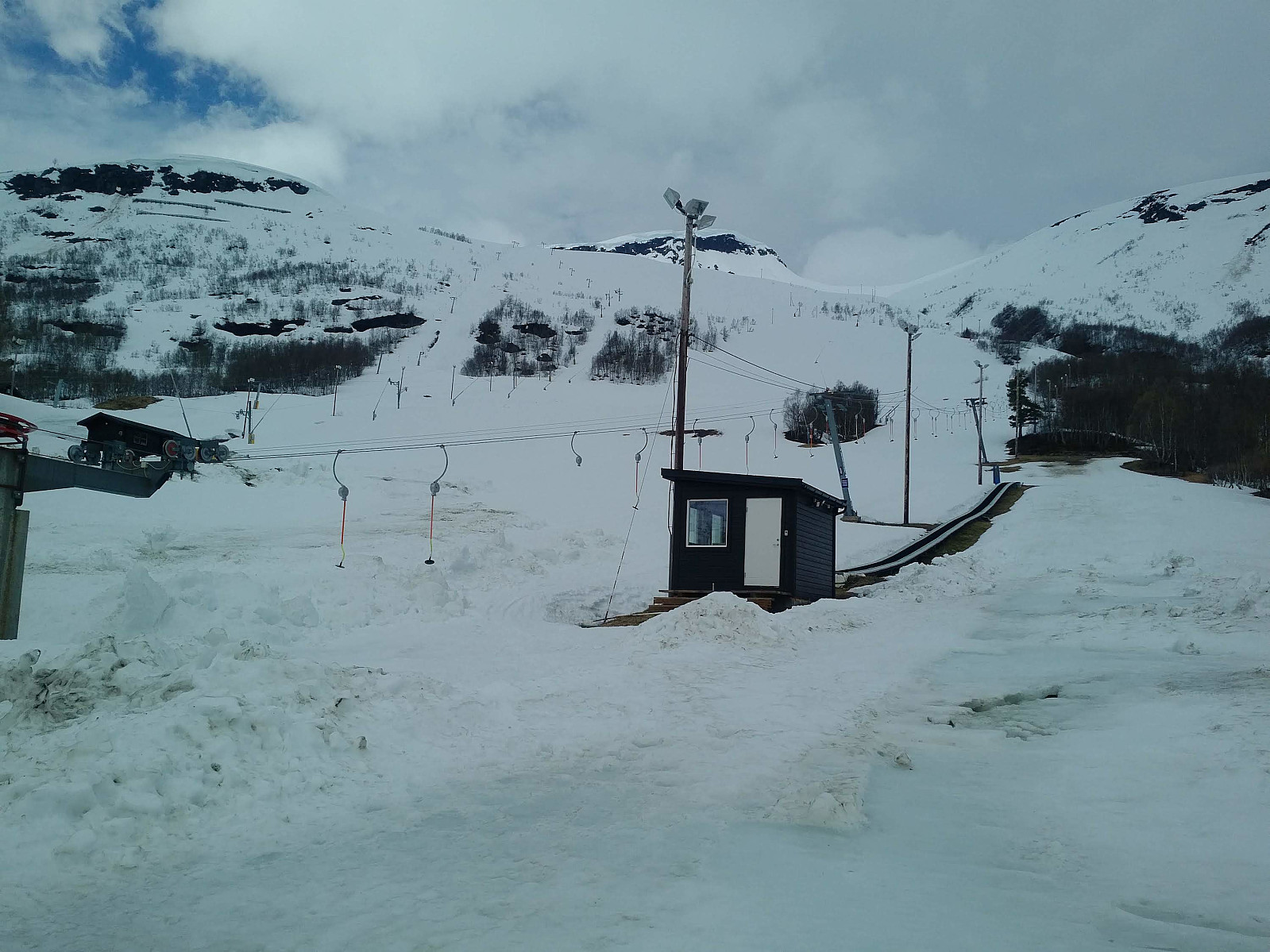
We parked at the parking lot of the ski resort. You usually have to pay in order to park there, but due to the Covid-19 pandemic, the ski resort has been closed this season; hence we were allowed to park there free of charge. We got our boots and our skis on, and started trekking. In ordinary circumstances we would have avoided the downhill trail of the ski resort. As the resort has been closed most of the season, however, there were now no skiers to collide with, apart from other alpine trekkers like ourselves; and so we figured the easiest path was going to be just up the slalom slopes.
Just behind the end of the ski lift we noticed there had been an avalanche at some time during the winter, and higher up in the valley, in Heimste Ørabotnen (see map/GPS tracking), there had more recently been a huge avalanche. Both of these avalanches would anyway have been in a safe distance from the trail that we had chosen, but they still work as a reminder to be careful in the mountains when the conditions are the way they have been during the last week.
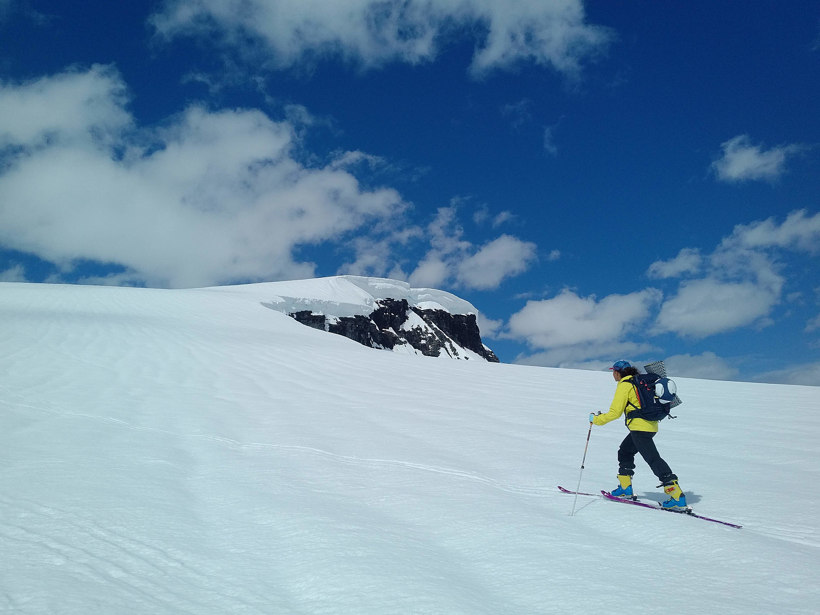
The main threat for us on this particular day seemed to be the huge snow shelves in the summit area. We could see they were extending at least 5 meters out from a cliff just beneath the summit of the mountain (image #5), and these shelves actually proved to be making a false summit that one should be careful not to step onto, as you would actually fall about 200 meters straight down if the part of the snow shelf that you're standing on would brake off just as you're stepping onto it.
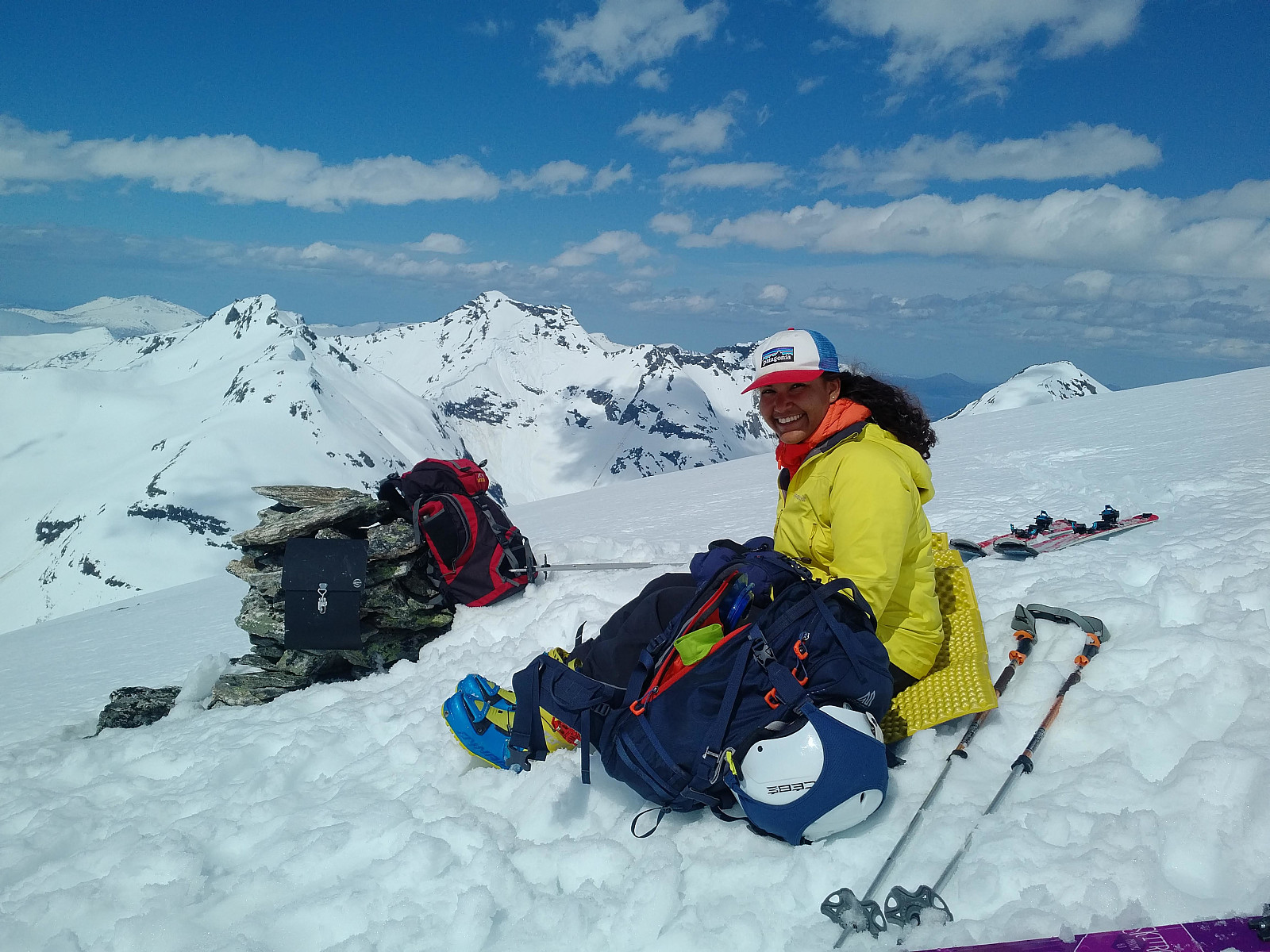
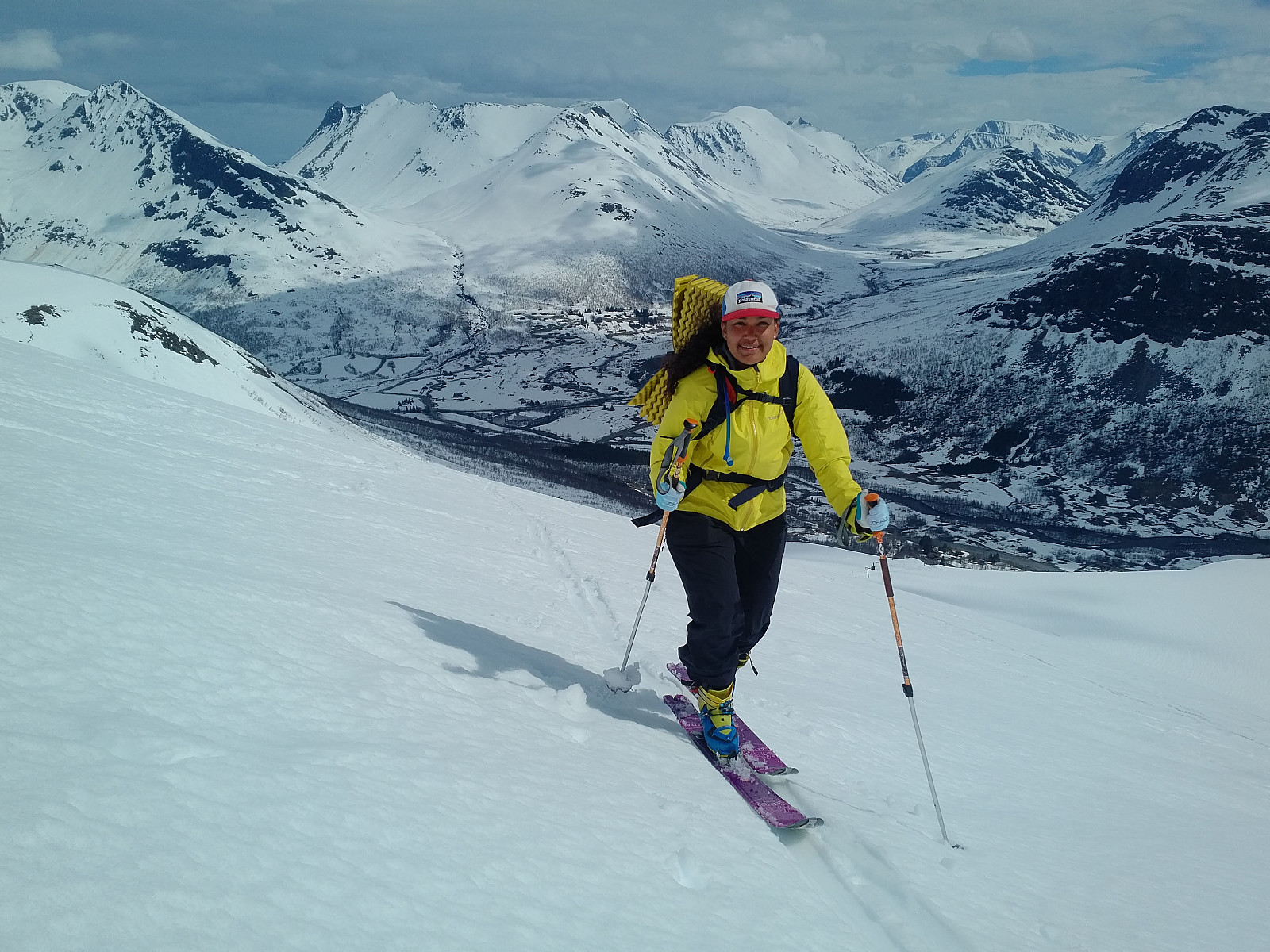
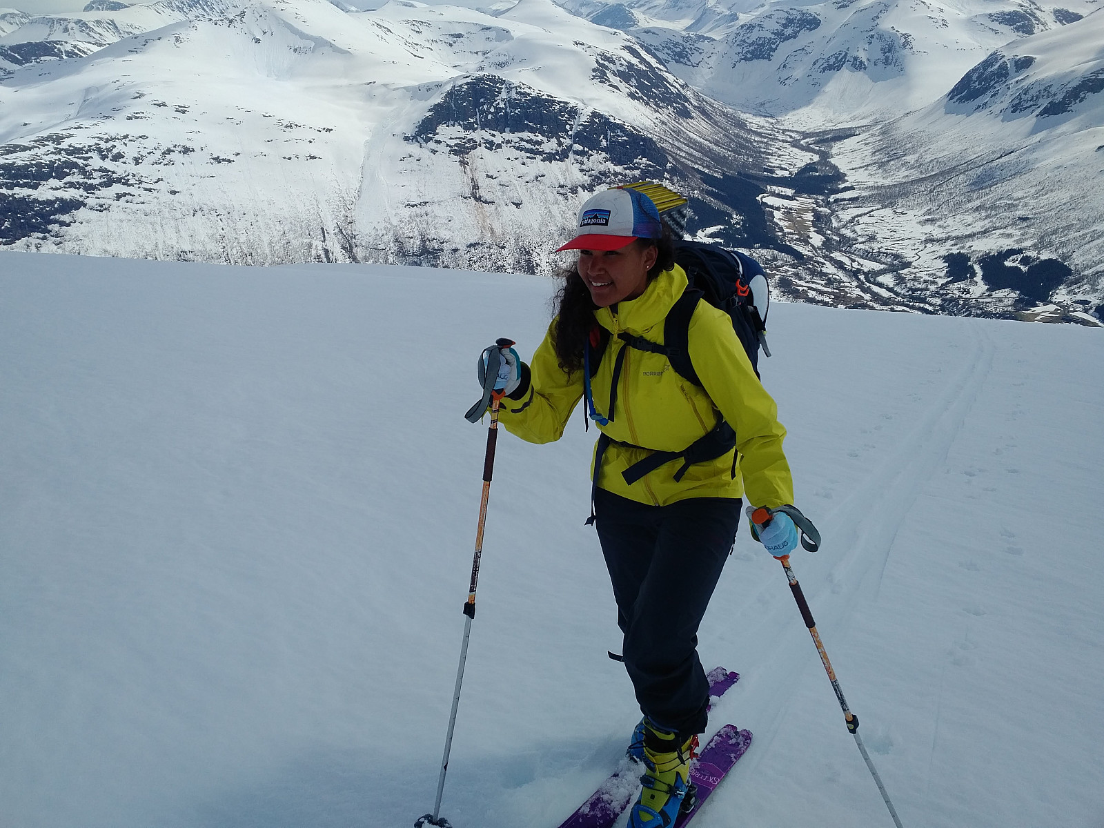
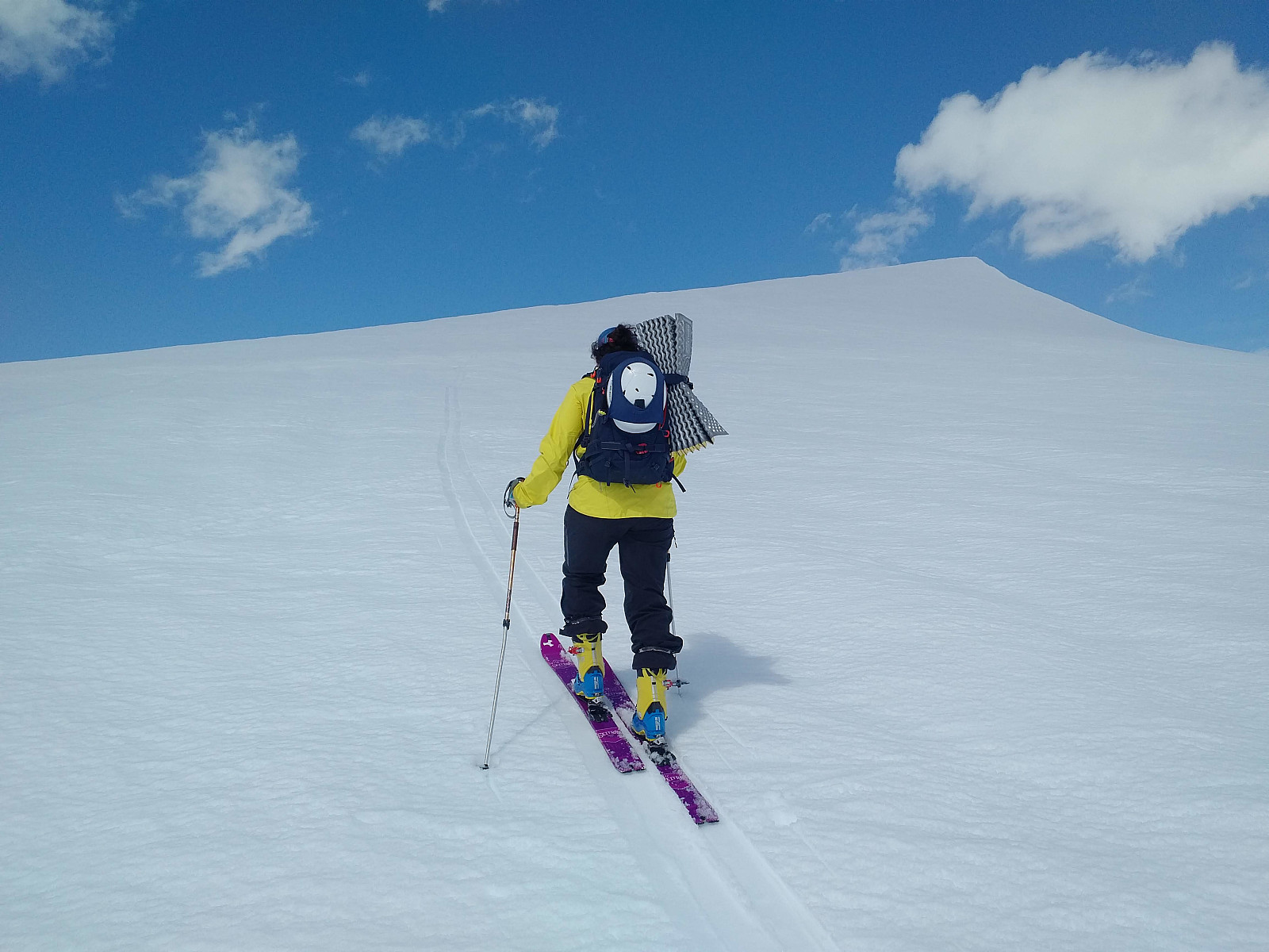
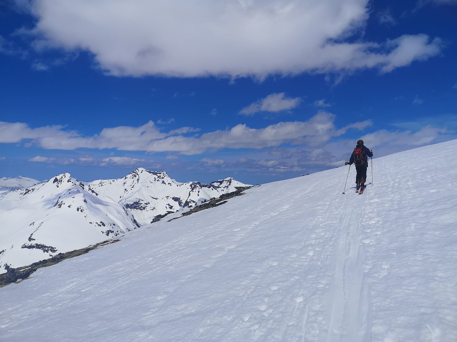
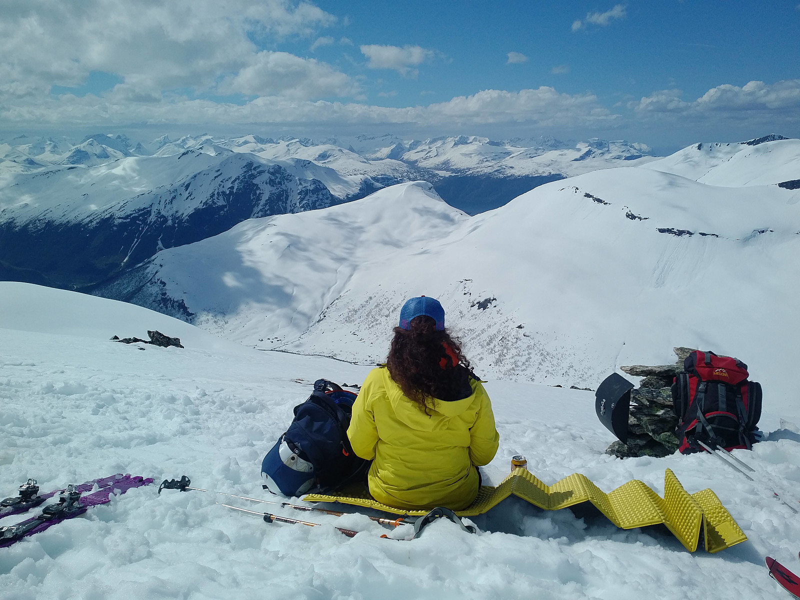
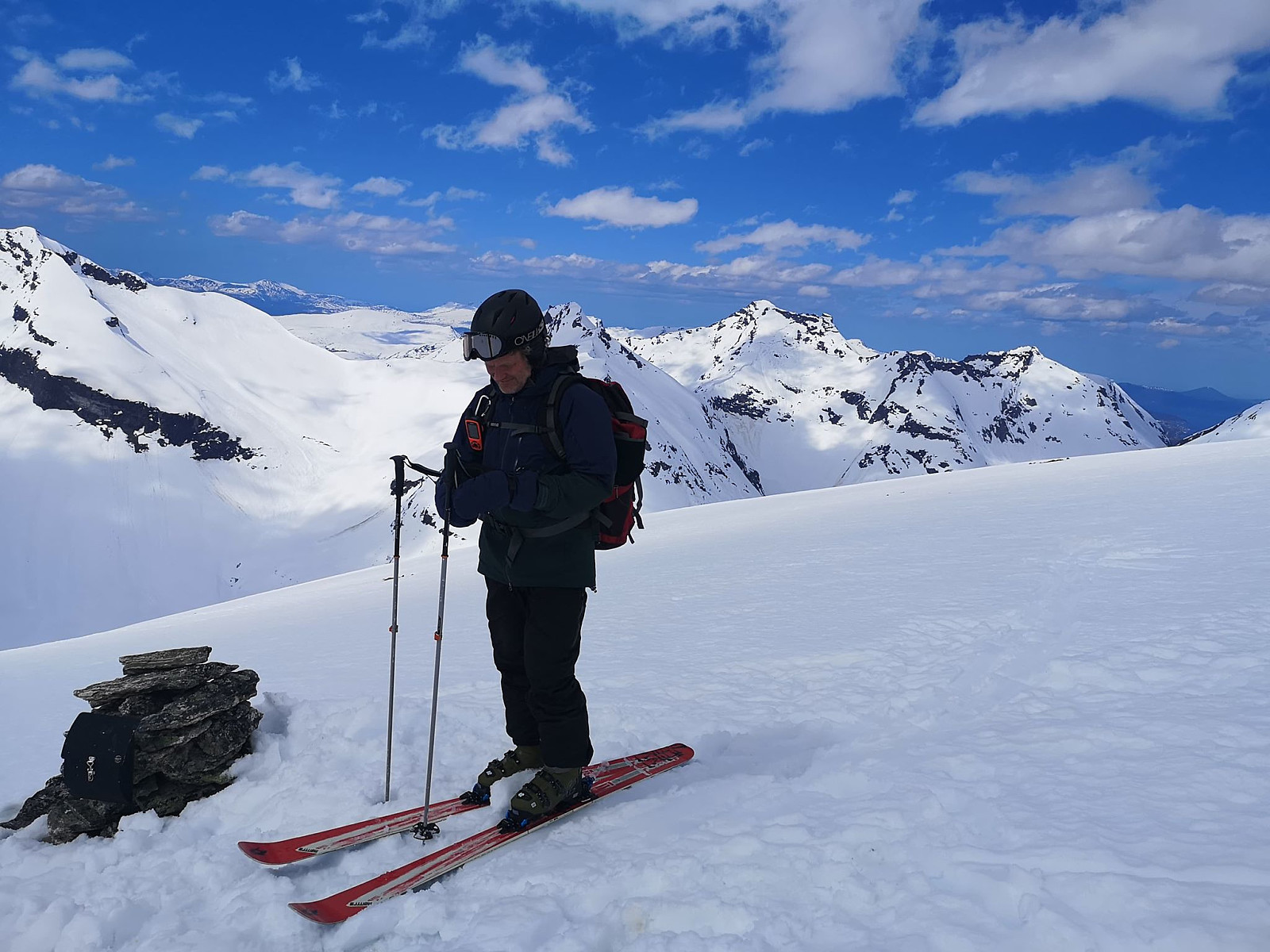
As we were getting even closer to the summit of the mountain, our trail were curving north; and the view to the west and to the north west was suddenly reveled, exposing the mountains of Grytavasstinden and Lauparen, both of which I've previously visited on foot during summer. We sat down by the cairn that marks the summit, and ate our lunch there, while admiring the nice view. In most directions you could se snowcapped mountains all the way out to the horizon.
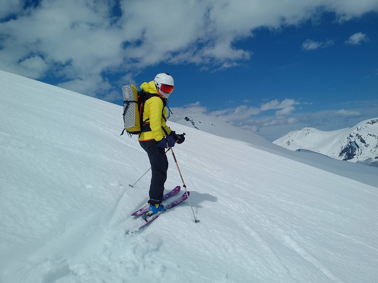
While eating, we were sure looking forward to the descent, but the skiing conditions proved not to be very great this day. The snow was quite wet due to the nice weather and the high temperature, making it feel like your skis are sucked to the ground. Our speed back down to the car wasn't that great, therefor, and downhill skiing wasn't quite as fun as it usually is. On the other hand, the sun was shining, and weather had been nice all day, so we still felt we were having a great day, and we didn't care that much about our downhill speed.


Benutzerkommentare