
Cabin ruins: Løvstakken (19.05.2020)

Written by hbar (Harald Barsnes)

| Start point | Klauvsteinen (136m) |
|---|---|
| Endpoint | Festplassen (2m) |
| Characteristic | Hillwalk |
| Duration | 3h 40min |
| Distance | 12.1km |
| Vertical meters | 589m |
| GPS |
|
| Ascents | Liafjellet nord for Løvstakken (286m) | 19.05.2020 |
|---|---|---|
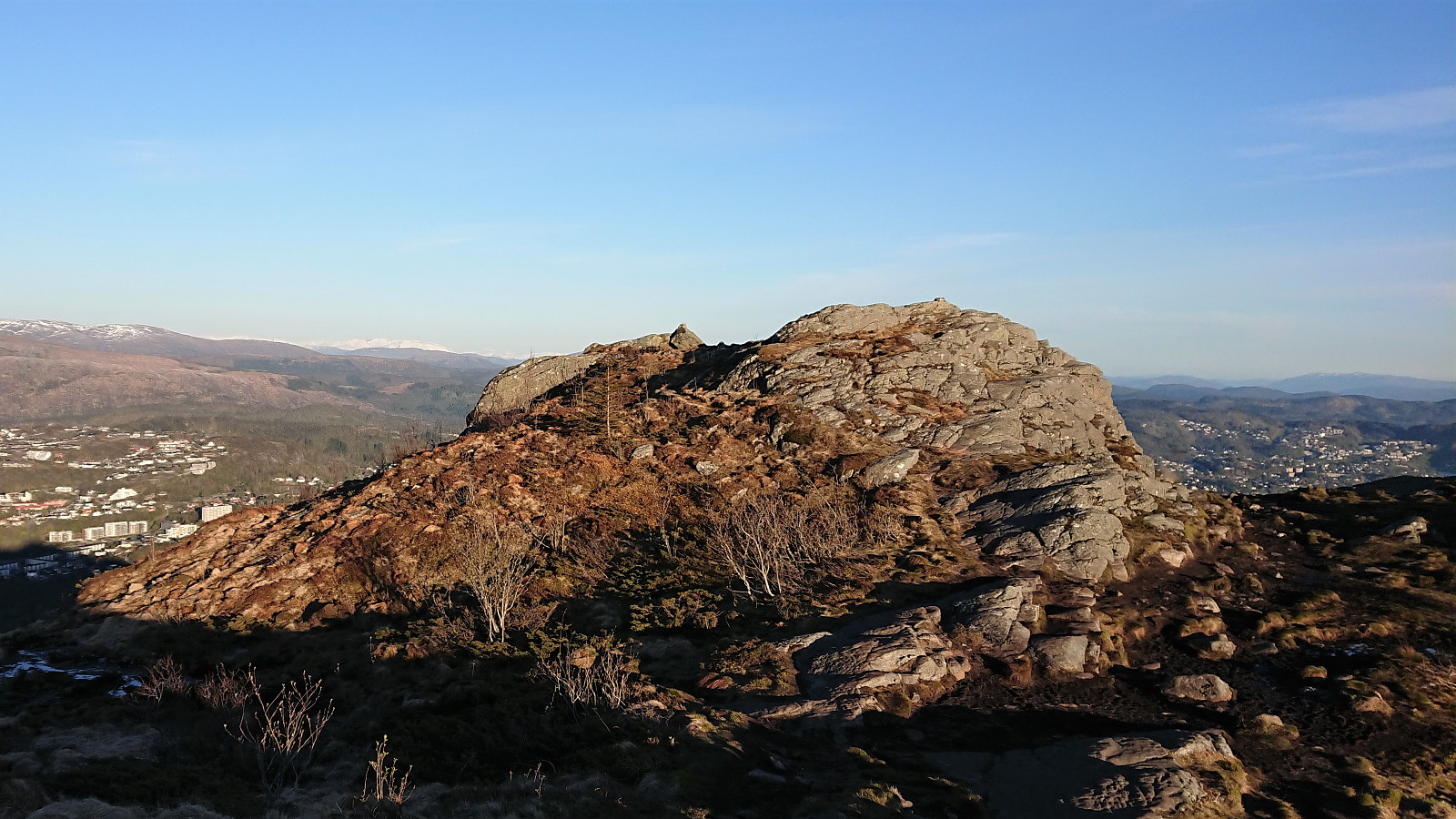
| Løvstakken (478m) | 19.05.2020 | |
| Ravnefjellet (300m) | 19.05.2020 | |
| Storhaugen 470 (470m) | 19.05.2020 | |
| Liafjellet S1 (281m) | 19.05.2020 | |
| Visits of other PBEs | Fagerheim (tuft), Løvstakken (257m) | 19.05.2020 |
| Fjellheim (tuft), Løvstakken (286m) | 19.05.2020 | |
| Fjelly (tuft), Løvstakken (248m) | 19.05.2020 | |
| Gyldenprishytten (ruin) (249m) | 19.05.2020 | |
| Helgheim (tuft), Løvstakken (261m) | 19.05.2020 | |
| Jesus Lever-steinen (133m) | 19.05.2020 | |
| Kveldsol (tuft), Løvstakken (251m) | 19.05.2020 | |
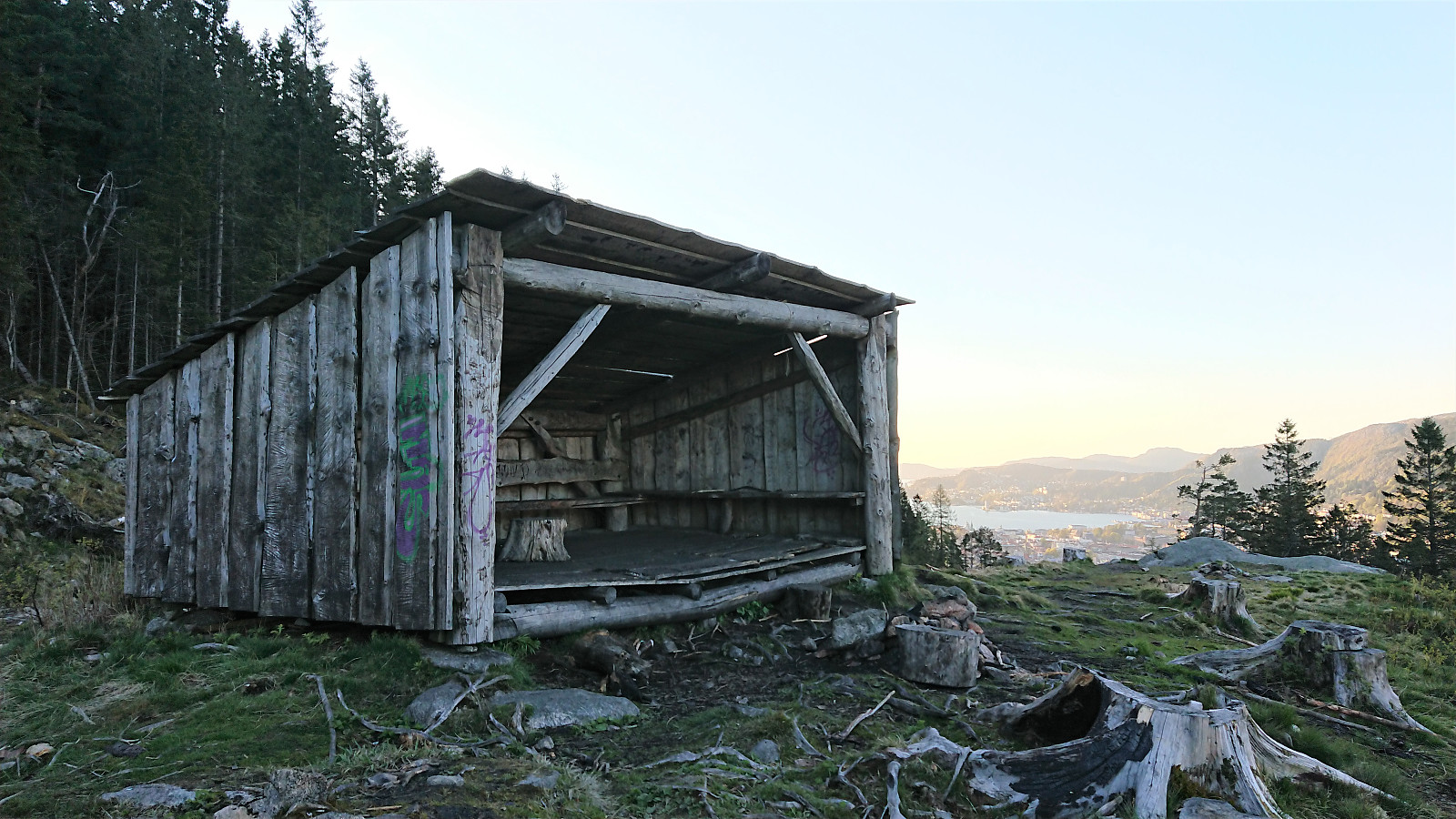
| Løvstakken gapahuk (225m) | 19.05.2020 | |
| Solhaug (tuft), Løvstakken (271m) | 19.05.2020 | |
| Tuft NV for Liafjellet, Løvstakken (245m) | 19.05.2020 | |
| Tuft V for Liafjellet, Løvstakken (245m) | 19.05.2020 | |
| Vardheim (tuft) (322m) | 19.05.2020 |
Cabin ruins: Løvstakken
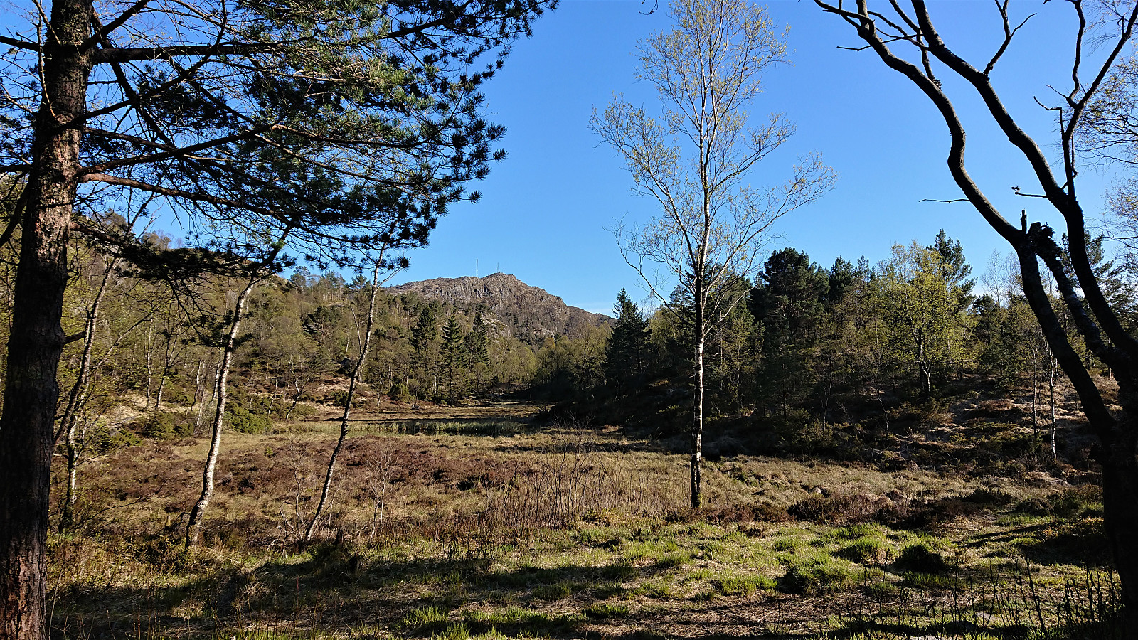
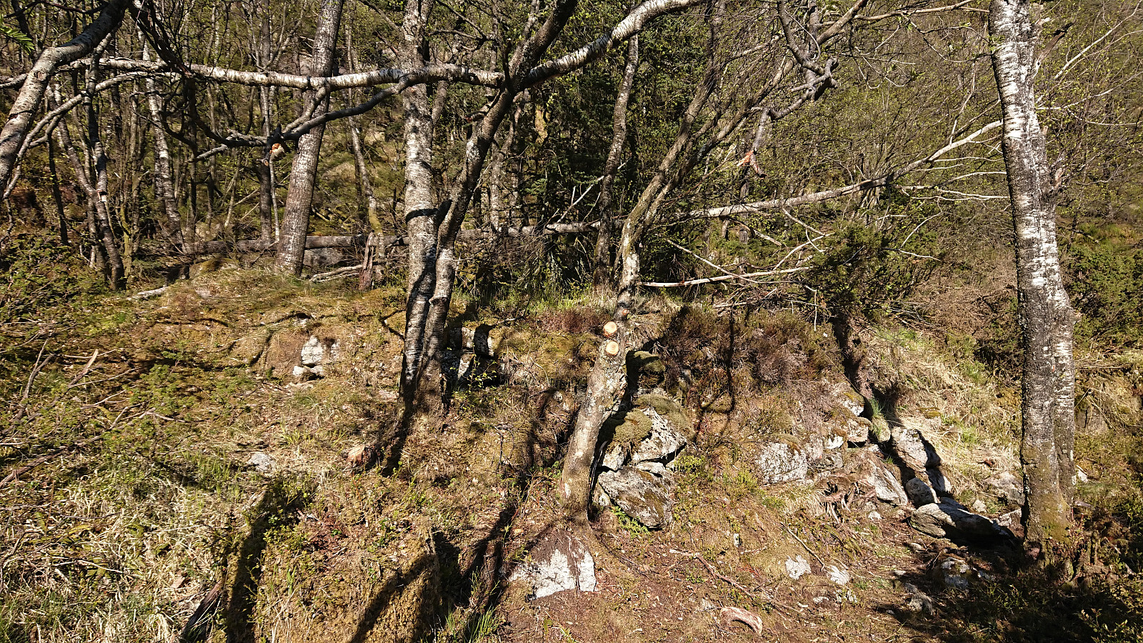
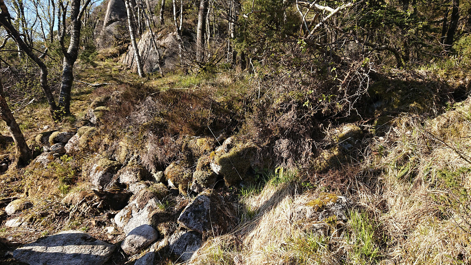
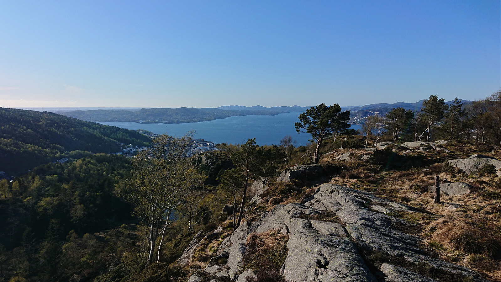

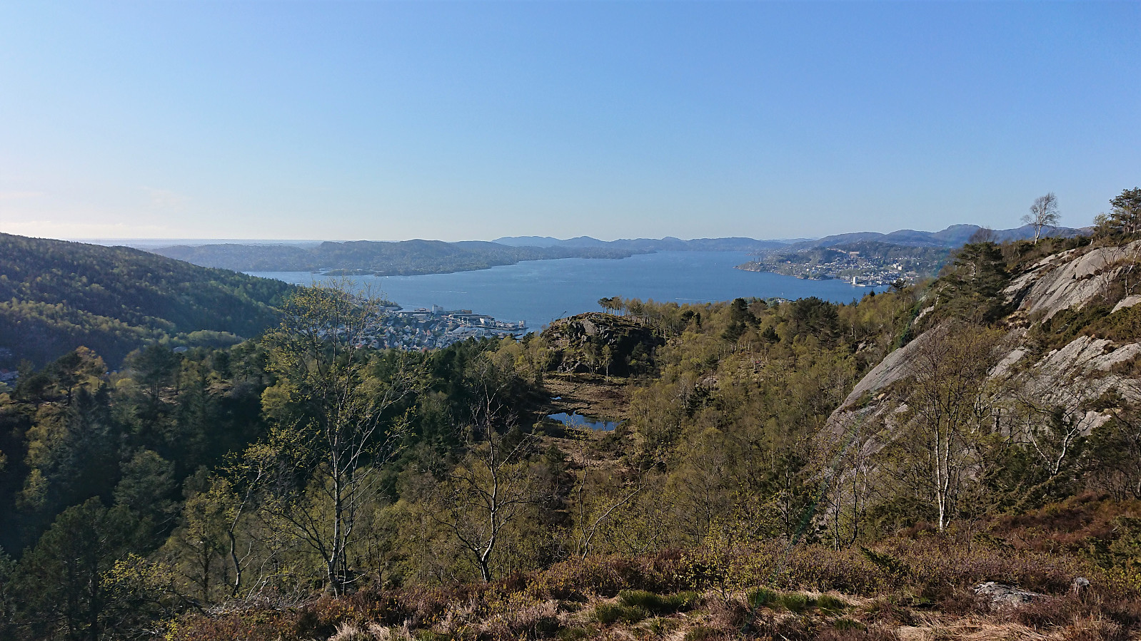
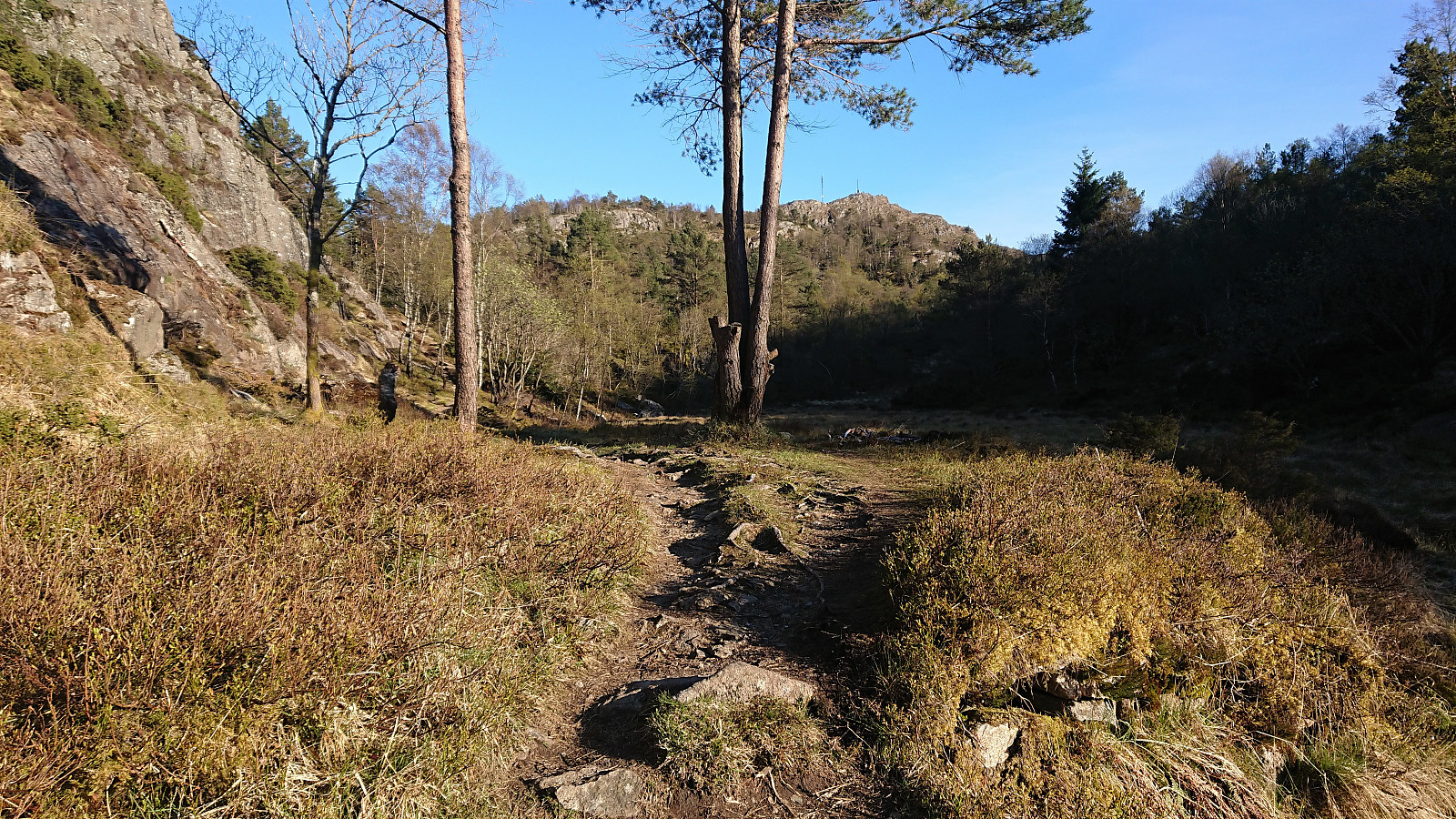
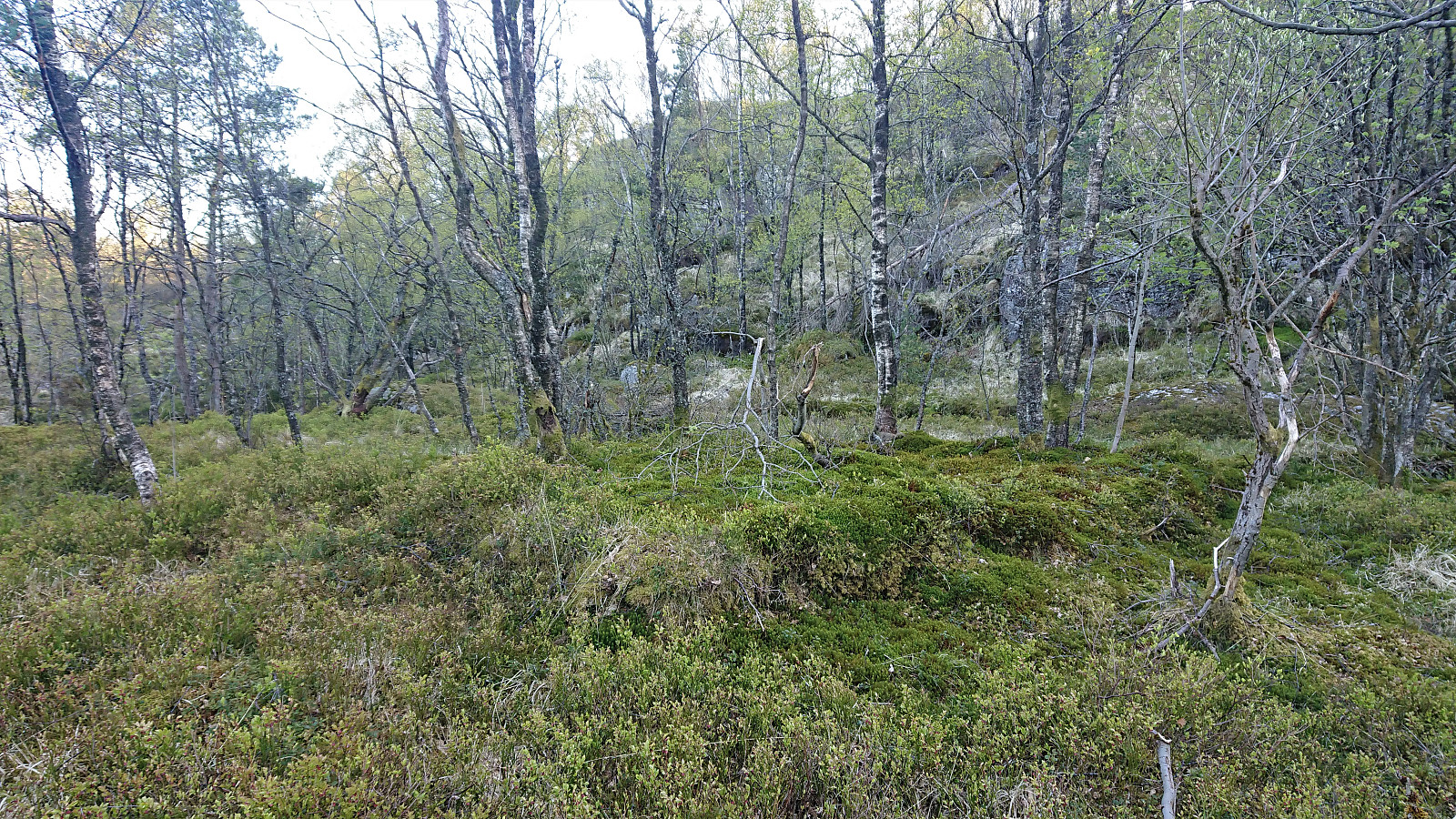
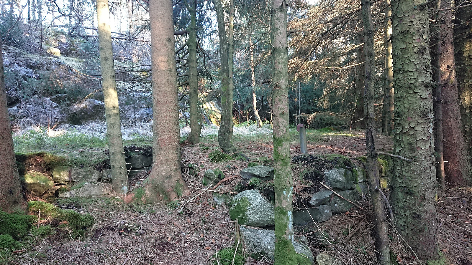
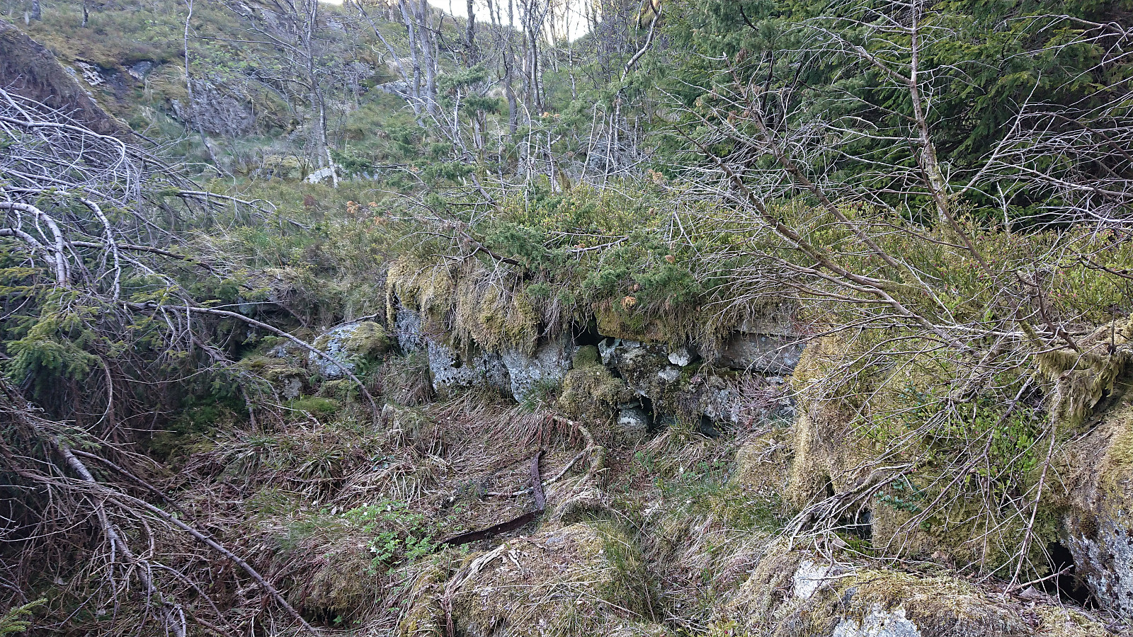
Yet another hike to search for old cabin ruins. This time in what was used to be called Hyttelien, an area south of Løvstakken were there once used to be numerous cabins, none of which are still standing. Once again I could benefit from knutsverre (Knut S. Andersen)'s excellent work for locating most of the ruins in the area. There were however two ruins that he had struggled to find: Helgheim and Gyldenprishytten/Akevitten. For the former, I was pretty sure I had found its location via in-depth inspection of old aerial photos, but for the latter I had not been able to find any additional information prior to the hike.
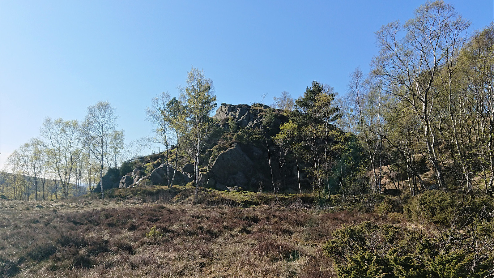
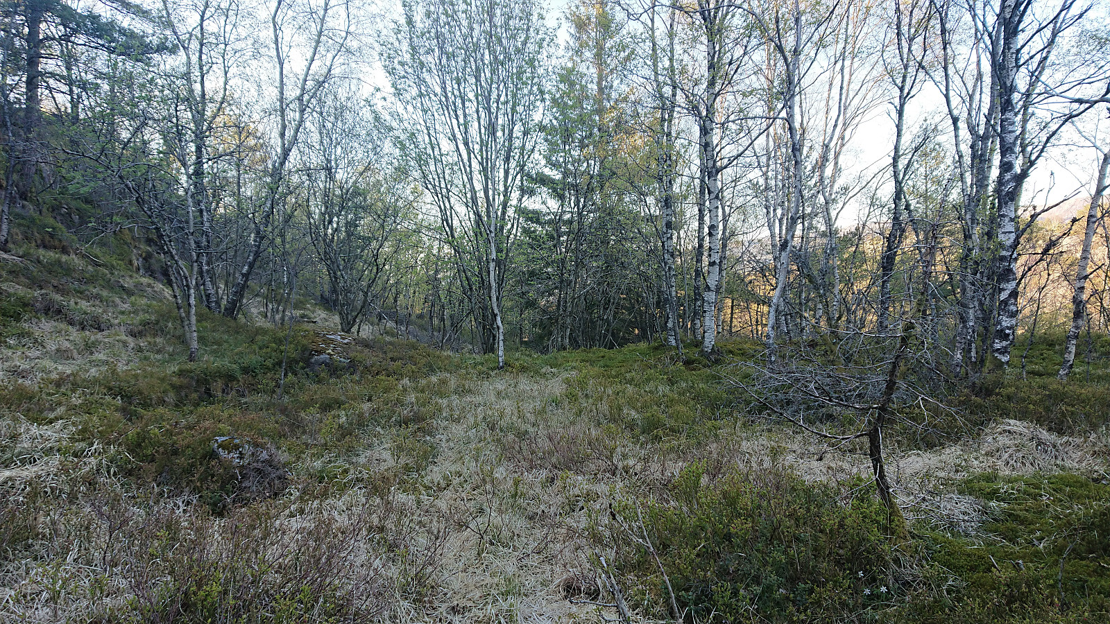
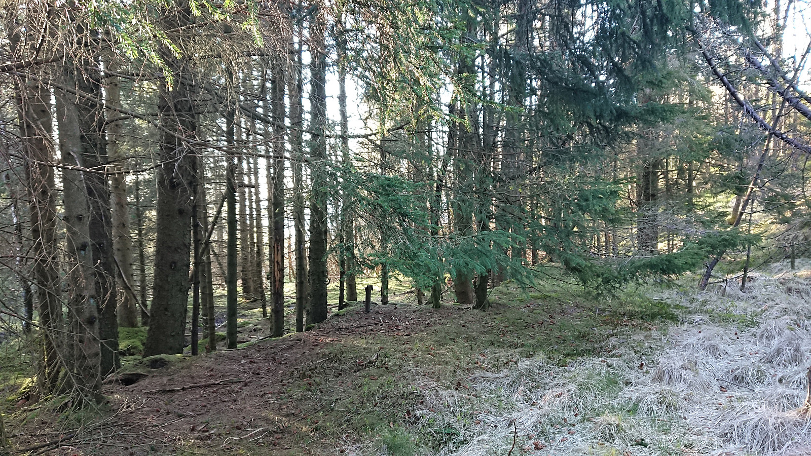
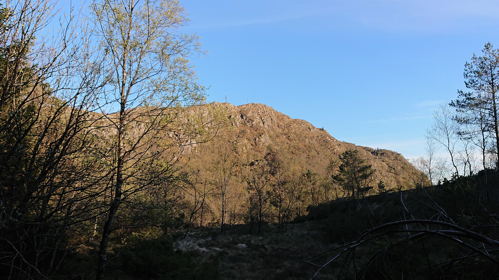
After first visiting Knut Sverre’s suggested locations for Gyldenprishytten and Helgheim (now renamed Tuft NV for Liafjellet, Løvstakken and Tuft V for Liafjellet, Løvstakken, I made a quick visit to the summit of the newly added Liafjellet, including a surprisingly steep descent, before heading towards the ruins of Fagerheim.
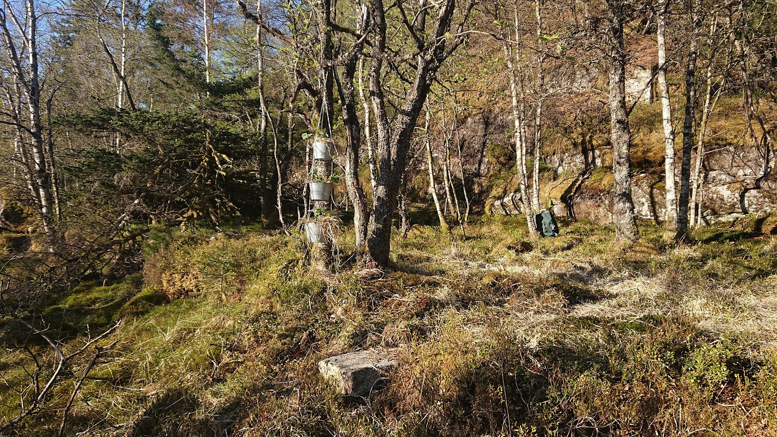
Upon approaching Fagerheim, I was not expecting to meet any people, and was therefore rather surprised when finding a man working on reclaiming the property by planting apple trees and hanging pots with strawberries. As we started talking, it turned out that he was very knowledgeable about the area and was more than happy to point out all the old cabin ruins, most notably Gyldenprishytten/Akevitten, the only remaining ruin in the area with an, up to this point, unknown location. He also showed me an aerial photo from the book "Over Bergen over tid" (by Hans Ree) that showed that there had indeed been a cabin at the northern end of the wet area west of Liafjellet, i.e. what is now called Tuft NV for Liafjellet, Løvstakken, but sadly for this one he could not provide a name.
After a long and very useful talk, I thanked him for all the help, and continued to Kveldsol and Gyldenprishytten, easily locating the ruins of the latter from the provided description, something I would clearly have missed if searching on my own. Next, Solhaug was easily located, before starting my hunt for Helgheim based on the old aerial photos, which could be confidently located as there were significantly more evidence compared to Gyldenprishytten.
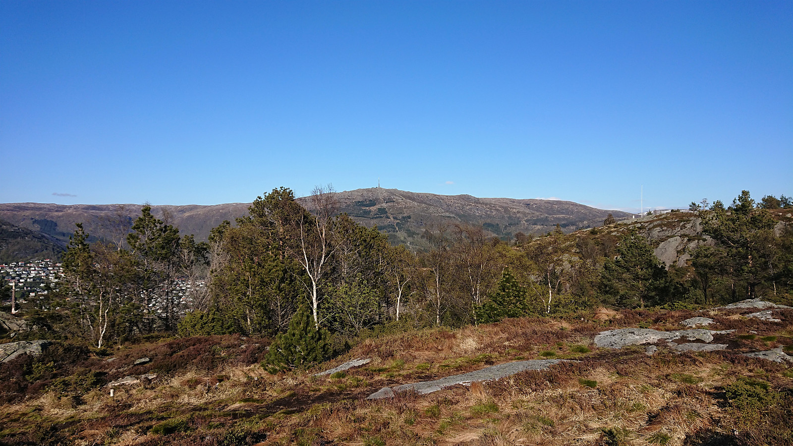
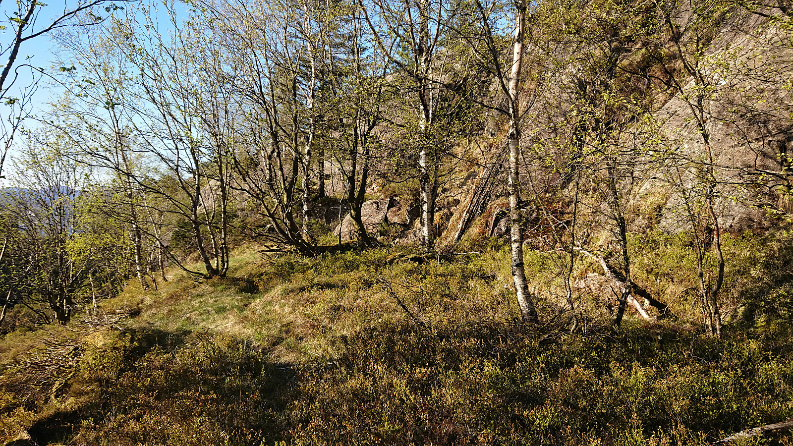
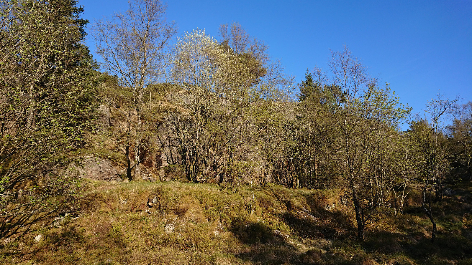
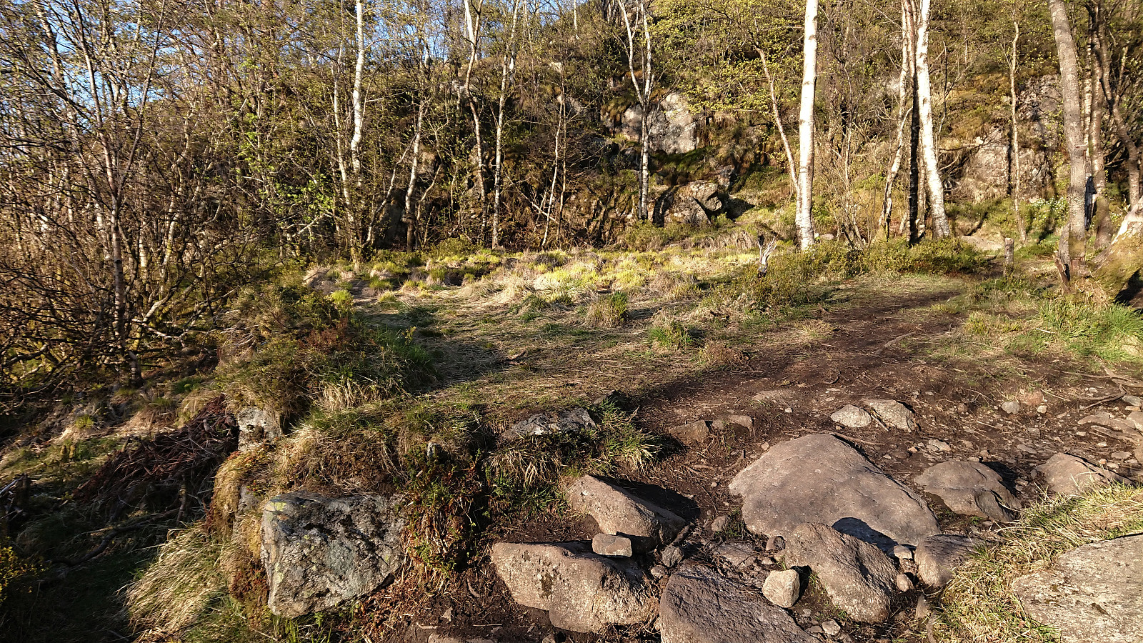
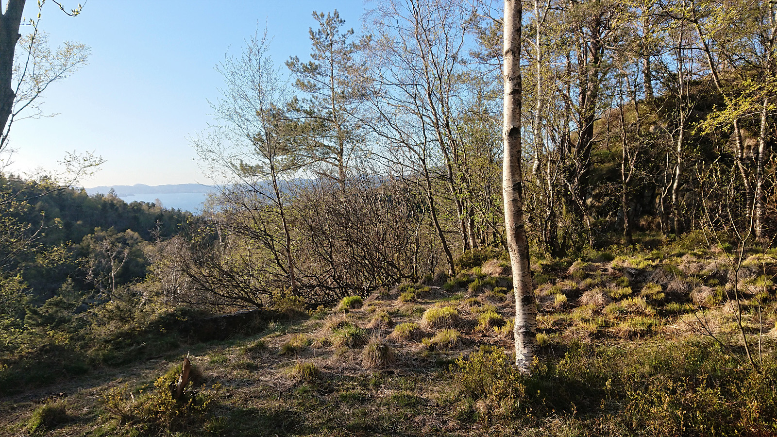
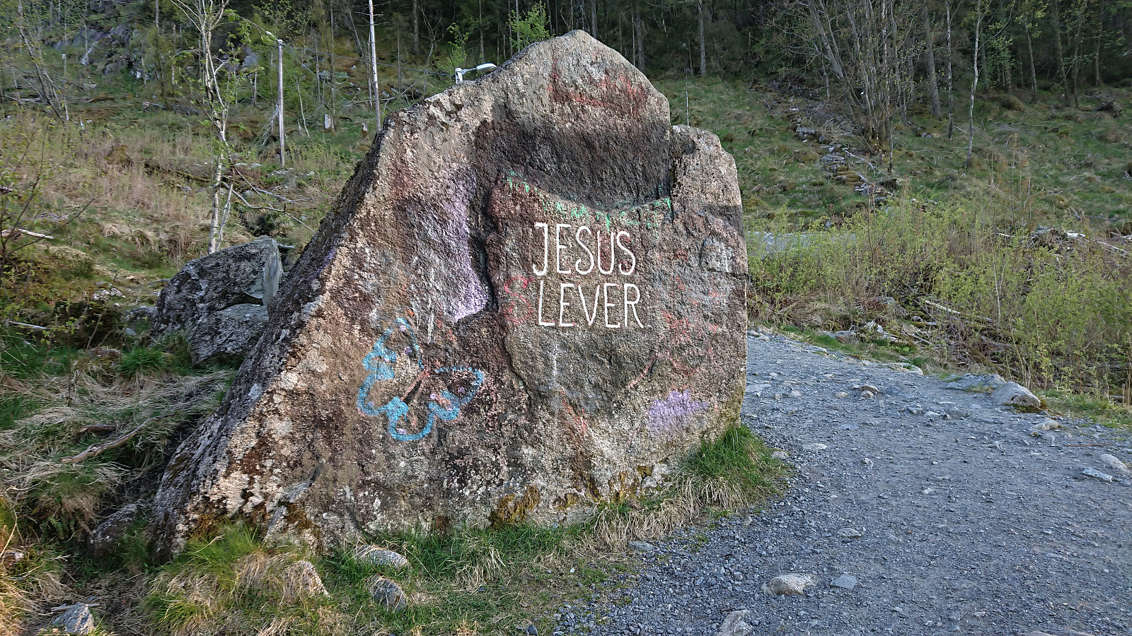
The hunt for old cabin ruins was completed by visiting Fjellheim and Vardheim, followed by a quick detour up to Løvstakken and Storhaugen, before ending the hike by walking down via Jesus Lever-steinen and my way to Festplassen for the bus back home. Overall an even more successful trip than I had thought it would be given the unexpected in-depth local knowledge that I happened to come across along the way.
| Start date | 19.05.2020 18:25 (UTC+01:00 DST) |
| End date | 19.05.2020 22:05 (UTC+01:00 DST) |
| Total Time | 3h 40min |
| Moving Time | 3h 06min |
| Stopped Time | 0h 33min |
| Overall Average | 3.3km/h |
| Moving Average | 3.9km/h |
| Distance | 12.1km |
| Vertical meters | 589m |


User comments
Imponerende!!
Written by knutsverre 20.05.2020 20:06Dette var utrolig interessant, Harald! Tusen takk for at du har fått brakt klarhet i dette. Vi fant også oppmuringen like nord for Kveldsol og tok bilder av stedet, men syntes det var for lite til å passe med at det hadde ligget en hytte på stedet. Trodde det var en mur som var lagt opp for å rydde stien. Din kilde (og du) har tydeligvis en annen oppfatning, og stedet passer jo helt med plasseringen på 1927-kartet! Når det gjelder Helgheim så lette vi aldri på stedet du nå har funnet den, kun på ryggen øst for tuften og nedover mot myren mot øst. Men det var altså feil, for ny granskning av kartet plasserer Helgheim der hvor du fant den!
Et flott stykke arbeid og hyttetuftene nord for Løvstakken skulle nå være godt kartlagt :) :)!