
Cabin ruins: Søre Midtfjellet, Ranen and Øvre Jordalsvatnet (01.05.2020)

Written by hbar (Harald Barsnes)

| Start point | Torget (2m) |
|---|---|
| Endpoint | Lønborg (56m) |
| Characteristic | Hillwalk |
| Duration | 6h 29min |
| Distance | 22.5km |
| Vertical meters | 1,370m |
| GPS |
|
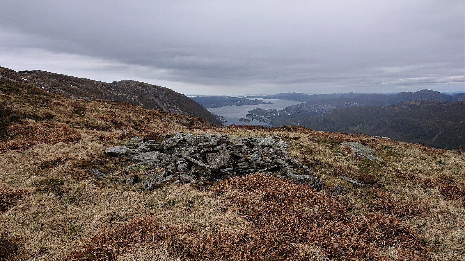
| Ascents | Søre Midtfjellet (452m) | 01.05.2020 |
|---|---|---|
| Ranen (498m) | 01.05.2020 | |
| Rundemanen (568m) | 01.05.2020 | |
| Ørneberget (238m) | 01.05.2020 | |
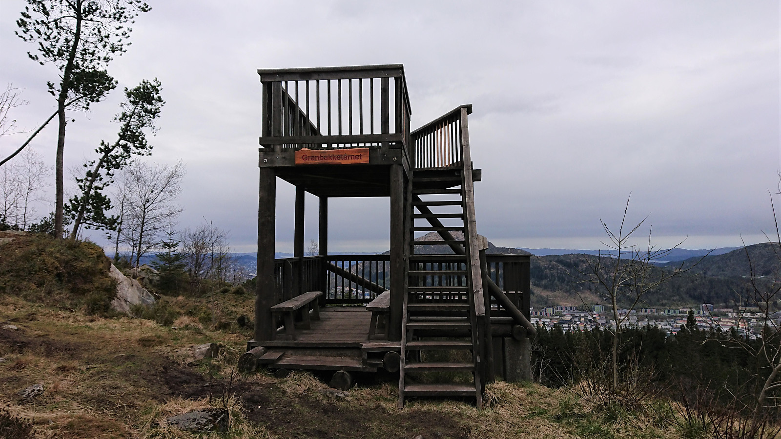
| Visits of other PBEs | Bergensbakken (480m) | 01.05.2020 |
| Blåmansveien utsiktspunkt (440m) | 01.05.2020 | |
| Brannmannshytten (ruin) (448m) | 01.05.2020 | |
| Fjellhytten (451m) | 01.05.2020 | |
| Fjellstuen (ruin) (474m) | 01.05.2020 | |
| Fjellveien i Bergen (120m) | 01.05.2020 | |
| Fram (ruin) (549m) | 01.05.2020 | |
| Fredheim (ruin) (372m) | 01.05.2020 | |
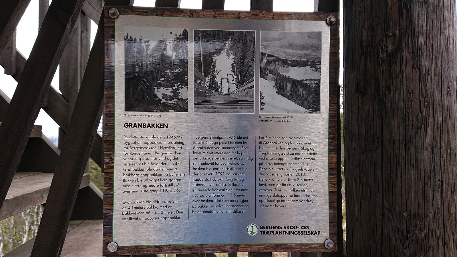
| Granbakketårnet (355m) | 01.05.2020 | |
| Høgelien (ruin) (522m) | 01.05.2020 | |
| Jordalsveien p-lomme (40m) | 01.05.2020 | |
| Kveldsol (tuft), Søre Midtfjellet (406m) | 01.05.2020 | |
| Redningshytten (tuft), Hyttelien (439m) | 01.05.2020 | |
| Snorre (ruin) (411m) | 01.05.2020 | |
| Trudvang (ruin) (475m) | 01.05.2020 | |
| Ruin nordenden av Øvre Jordalsvatnet (468m) | 01.05.2020 |
Cabin ruins: Søre Midtfjellet, Ranen and Øvre Jordalsvatnet
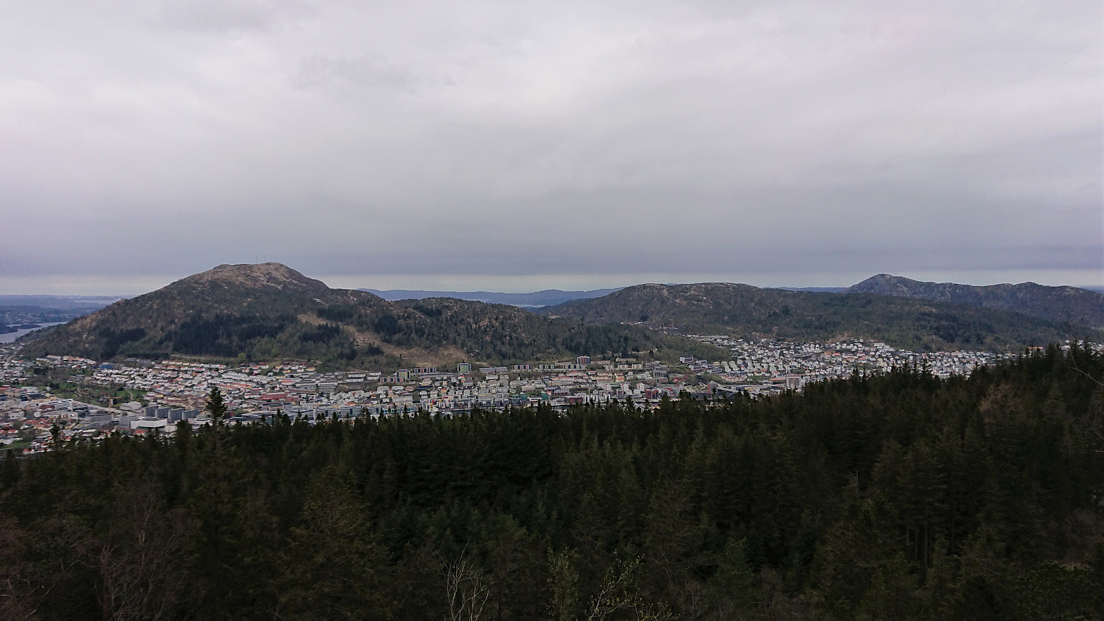
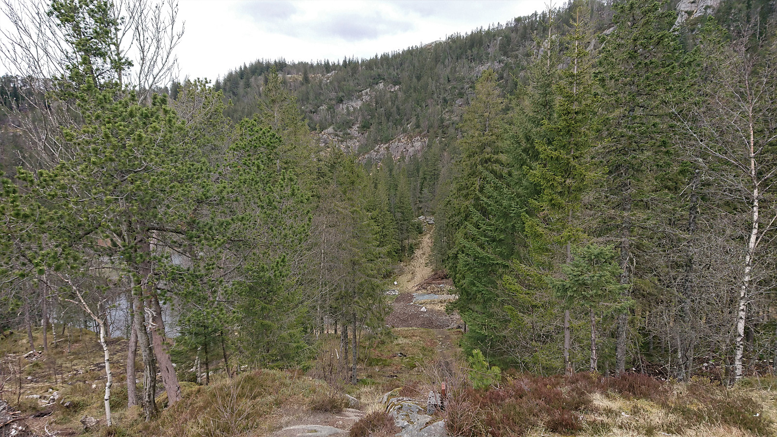
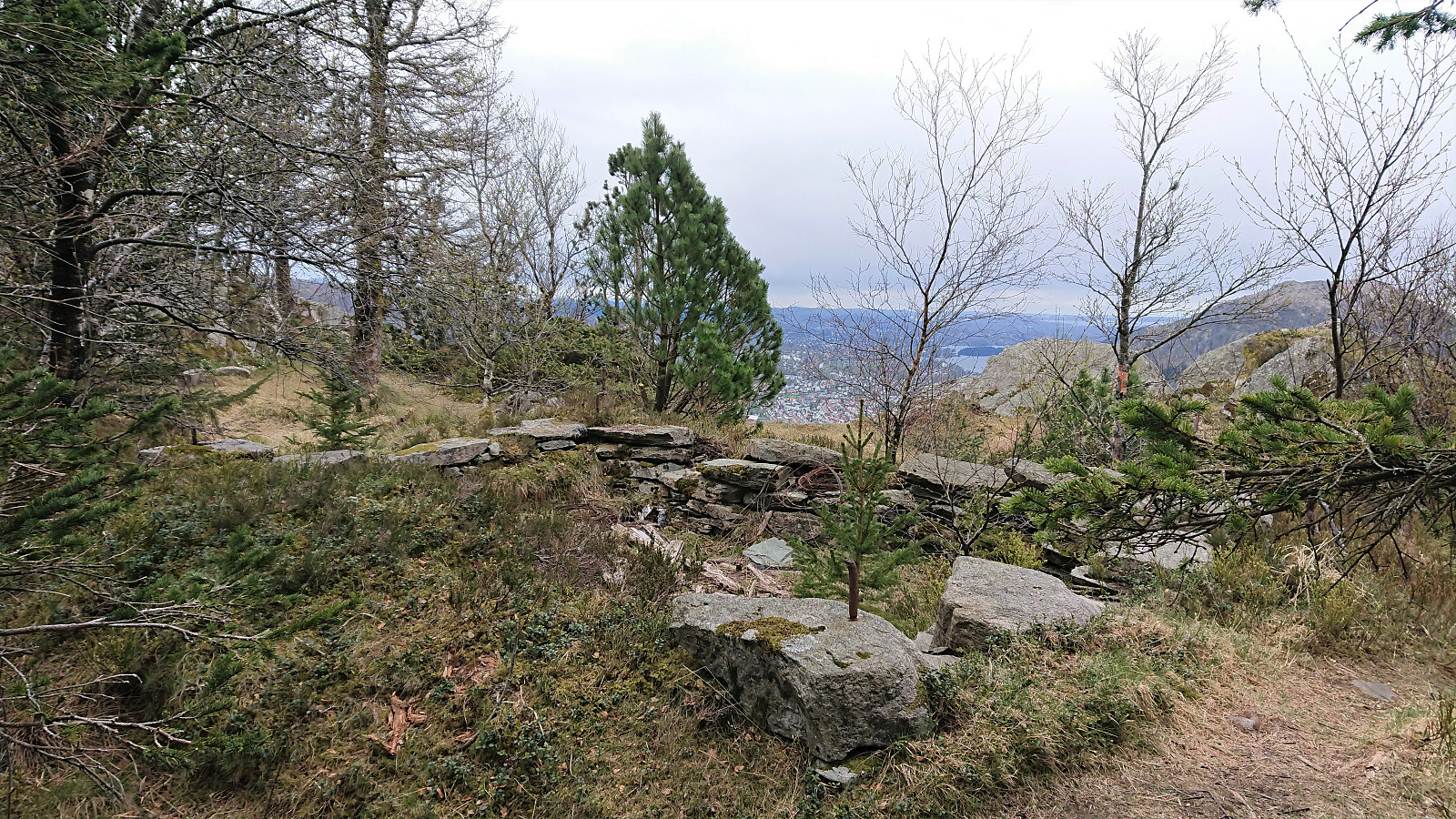
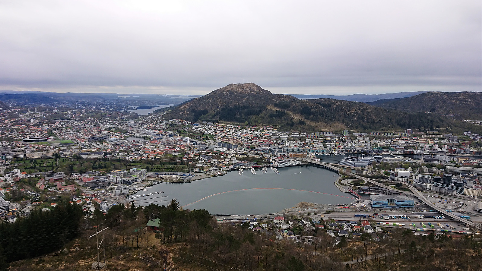
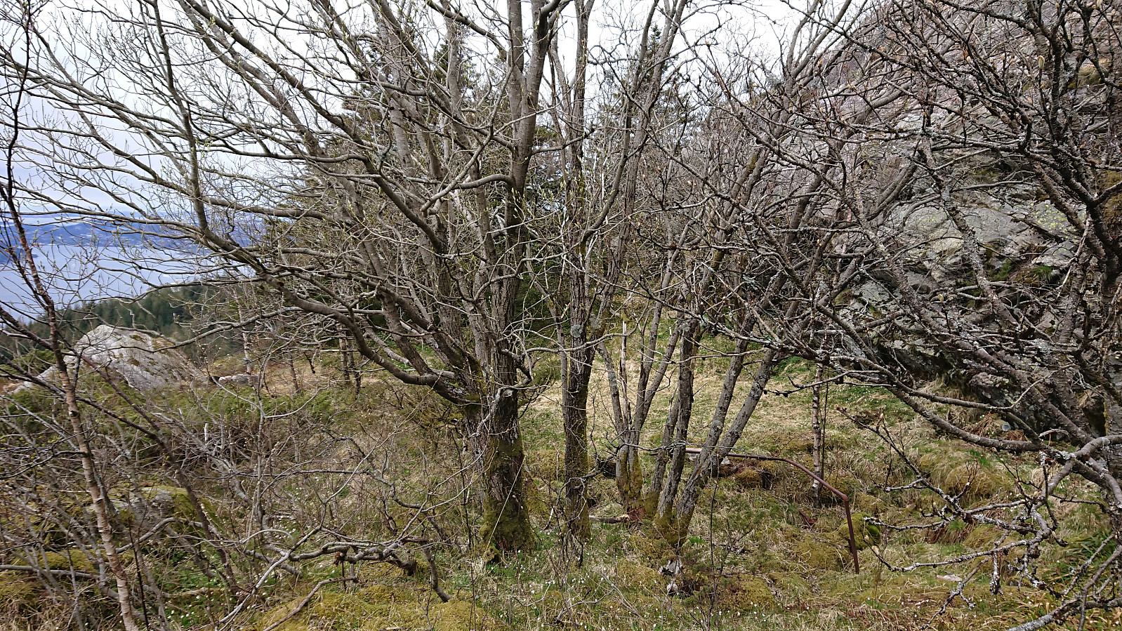
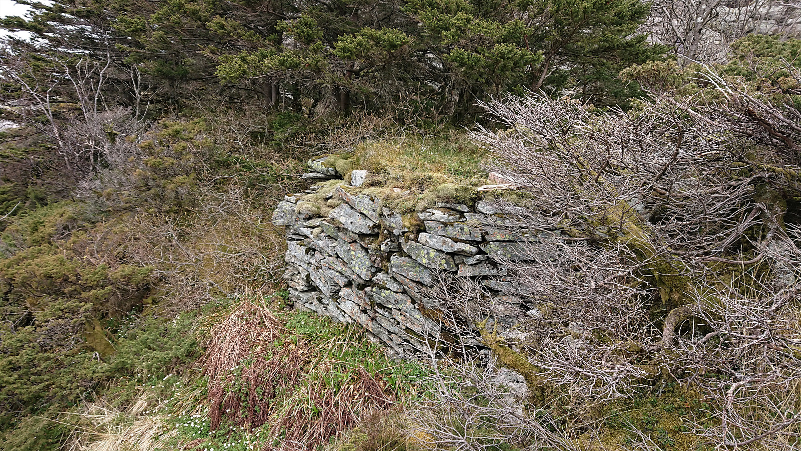
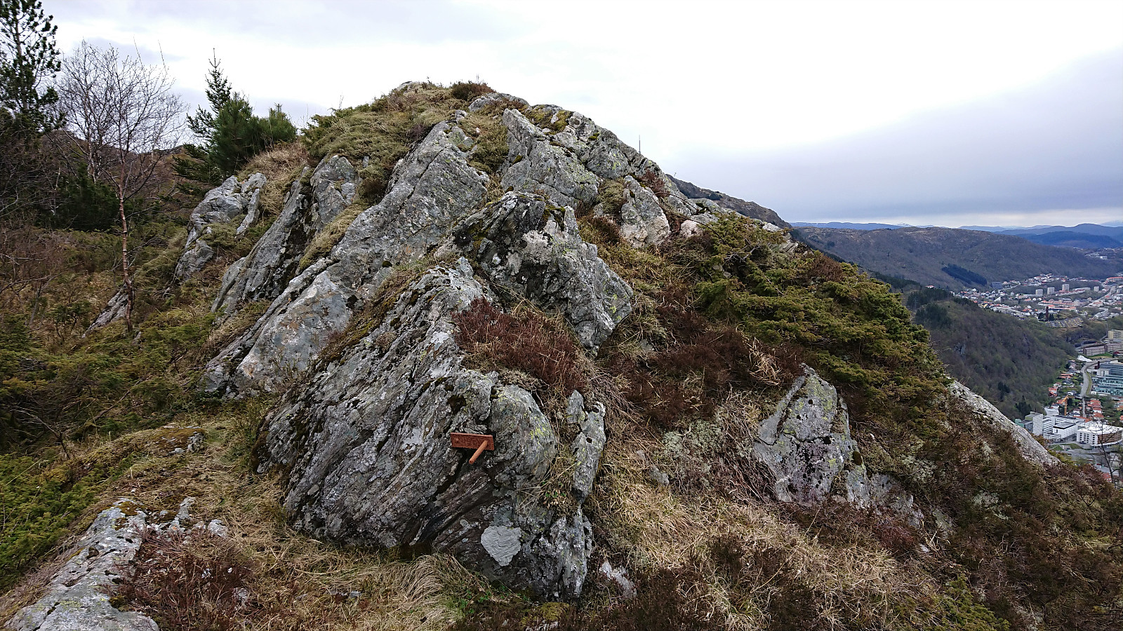
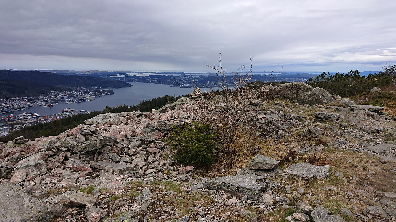
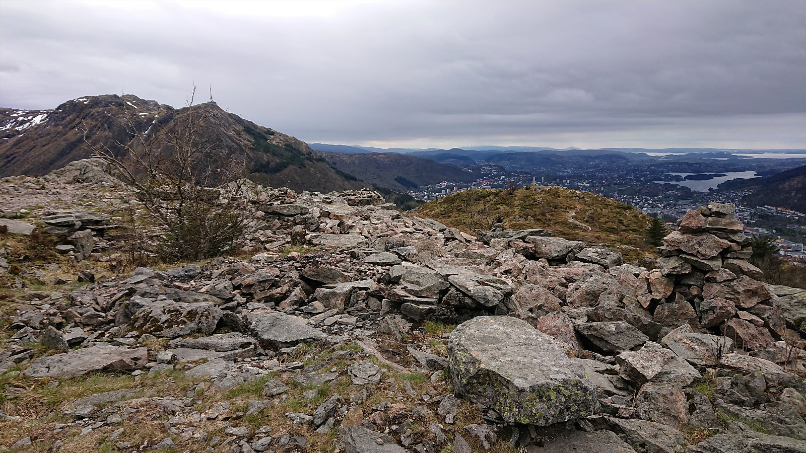
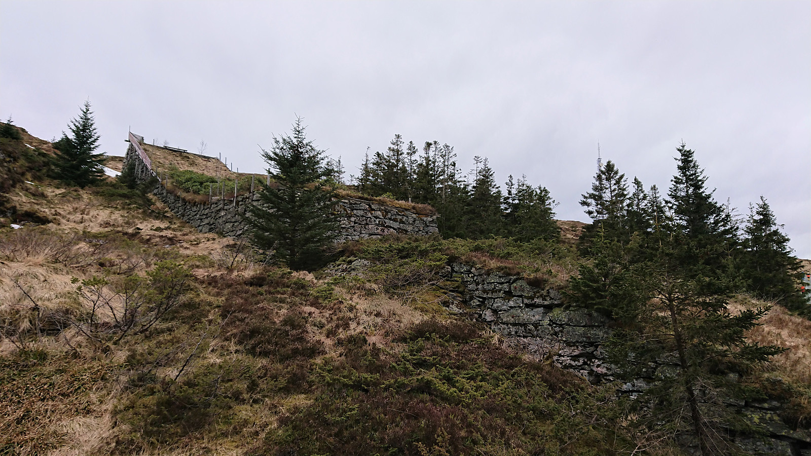
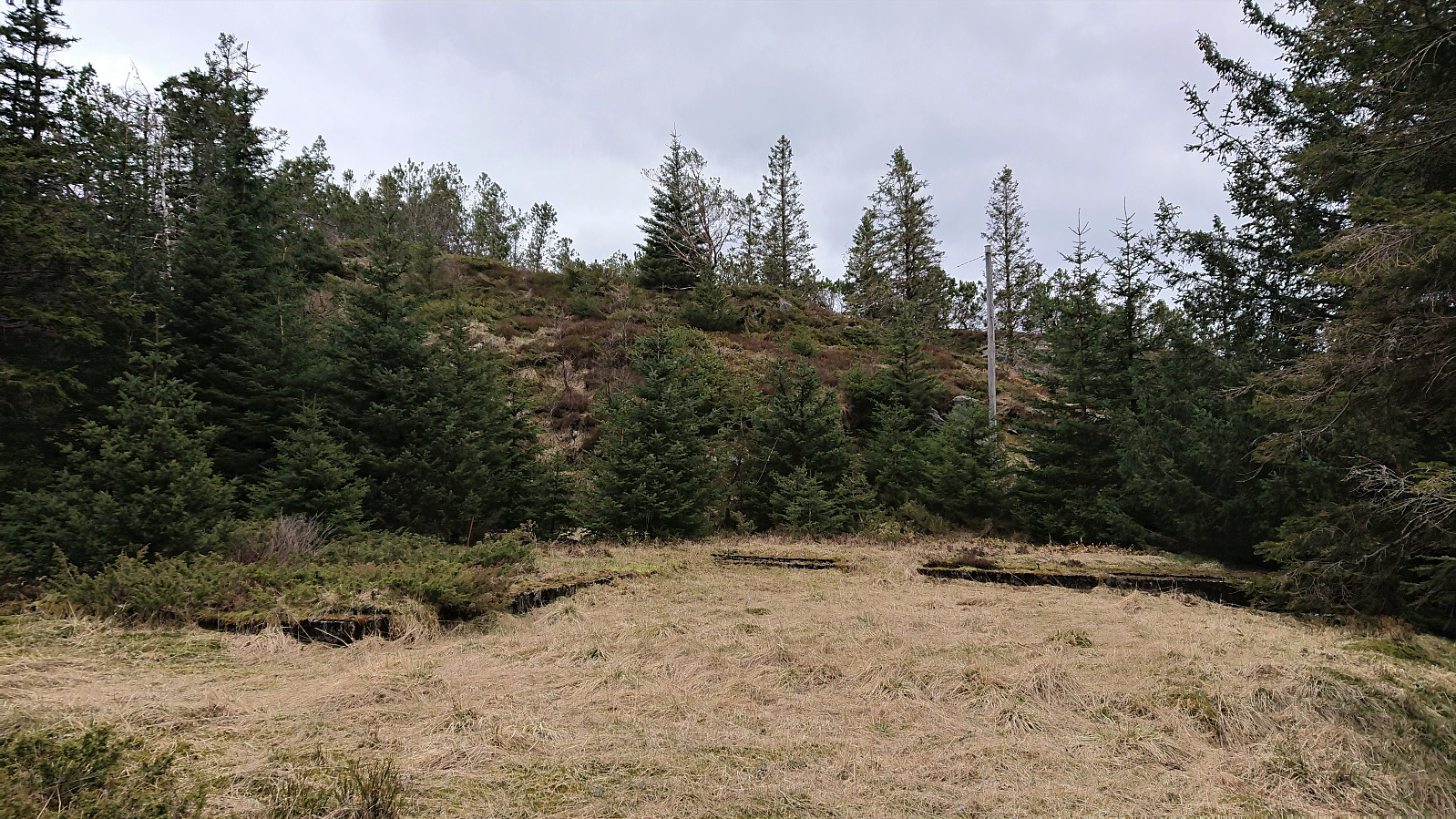
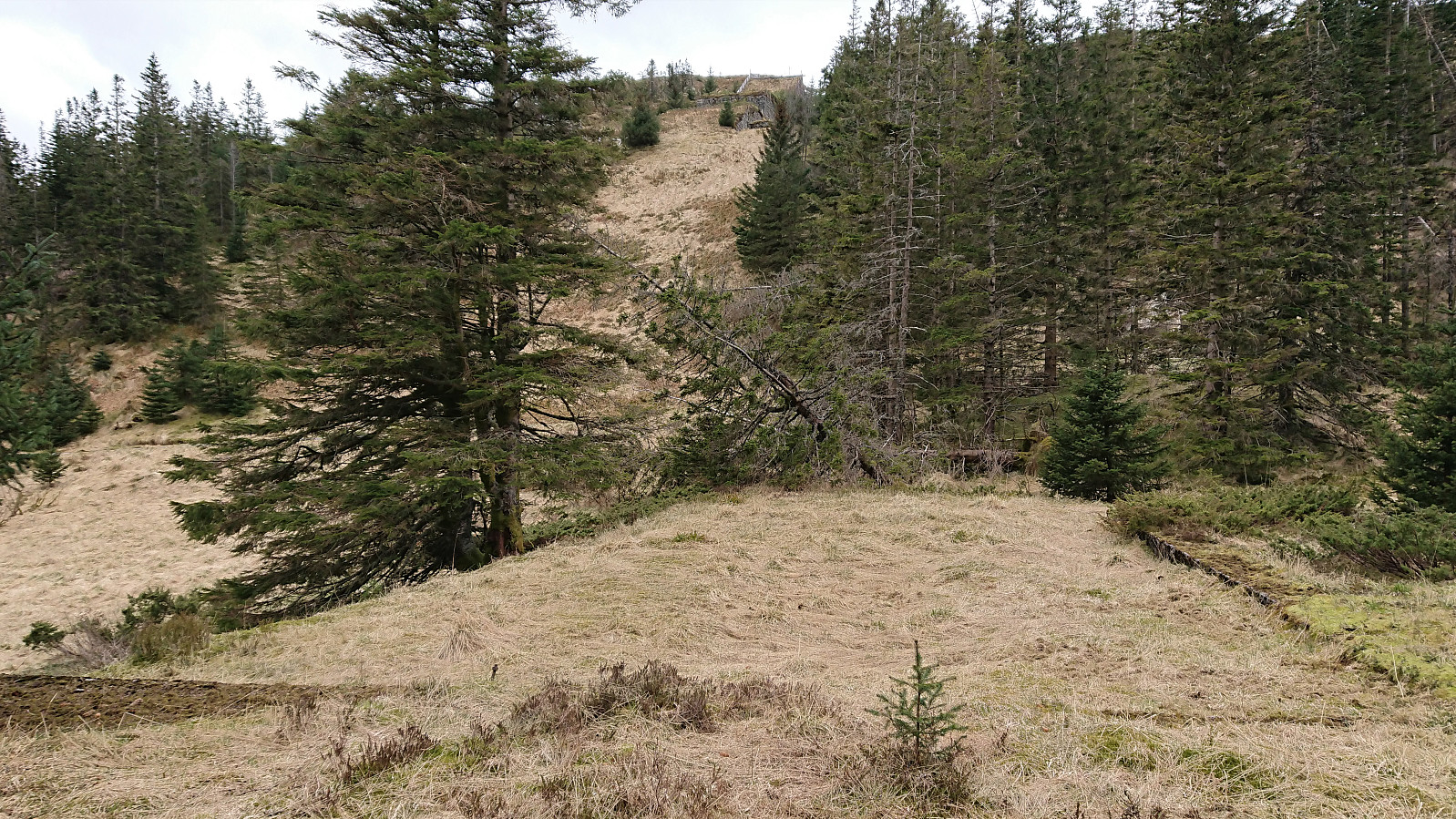
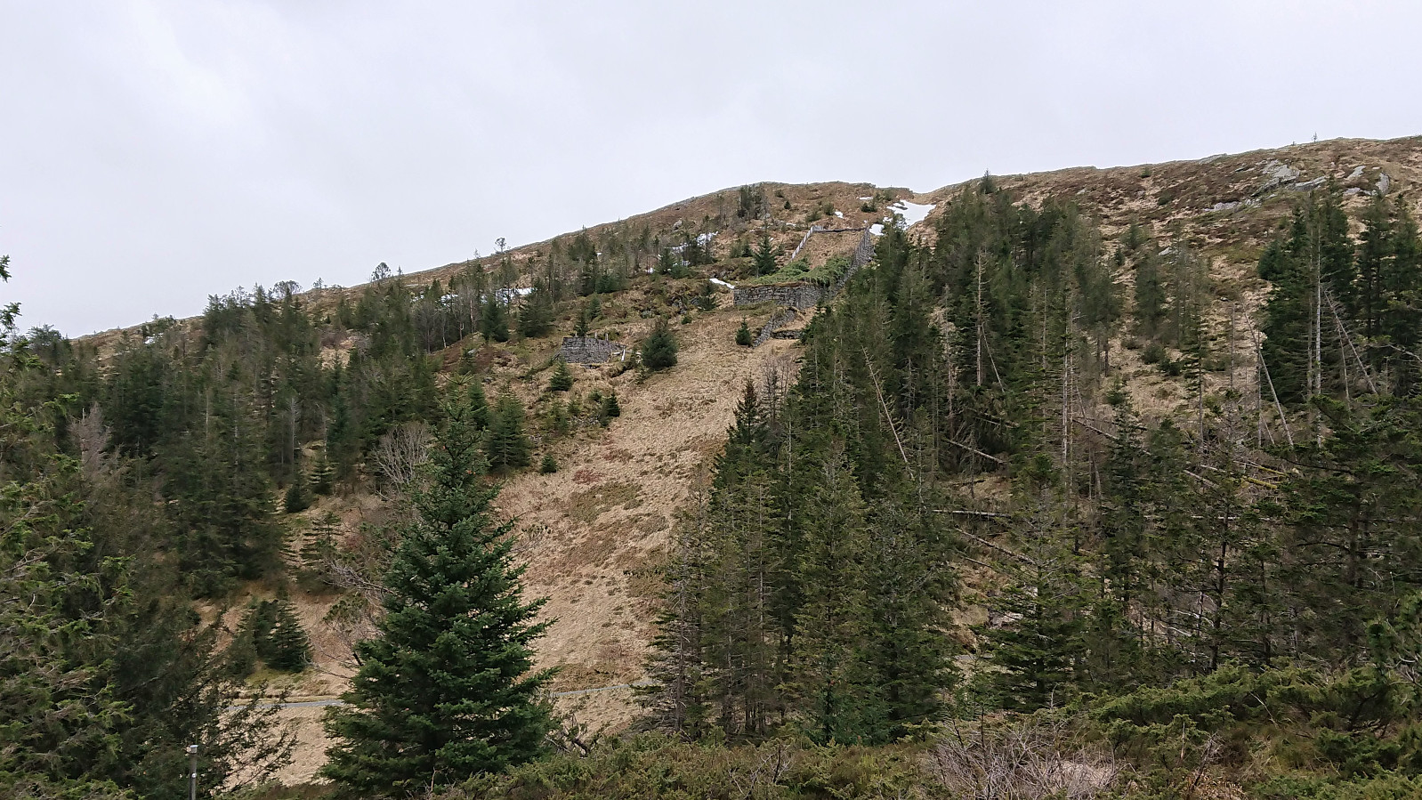
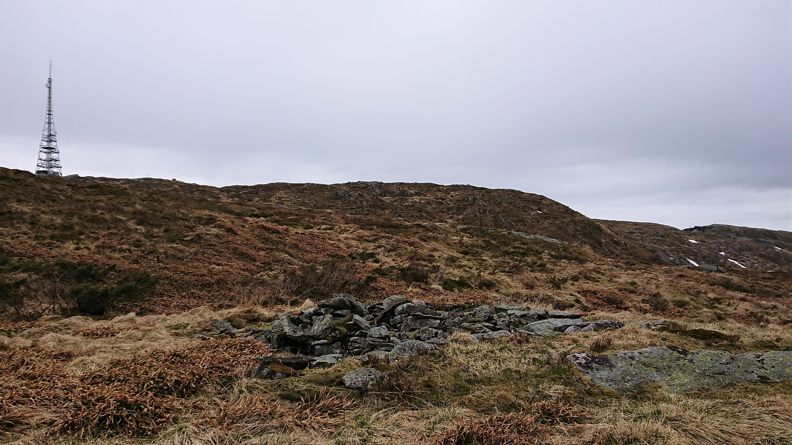
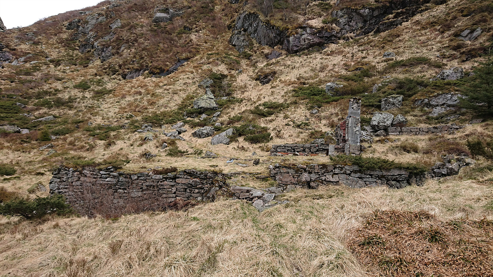
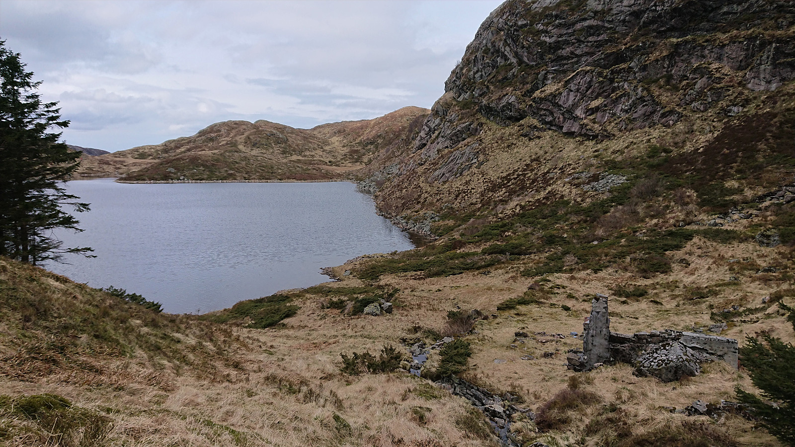
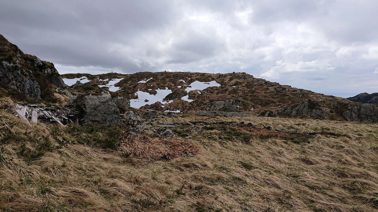
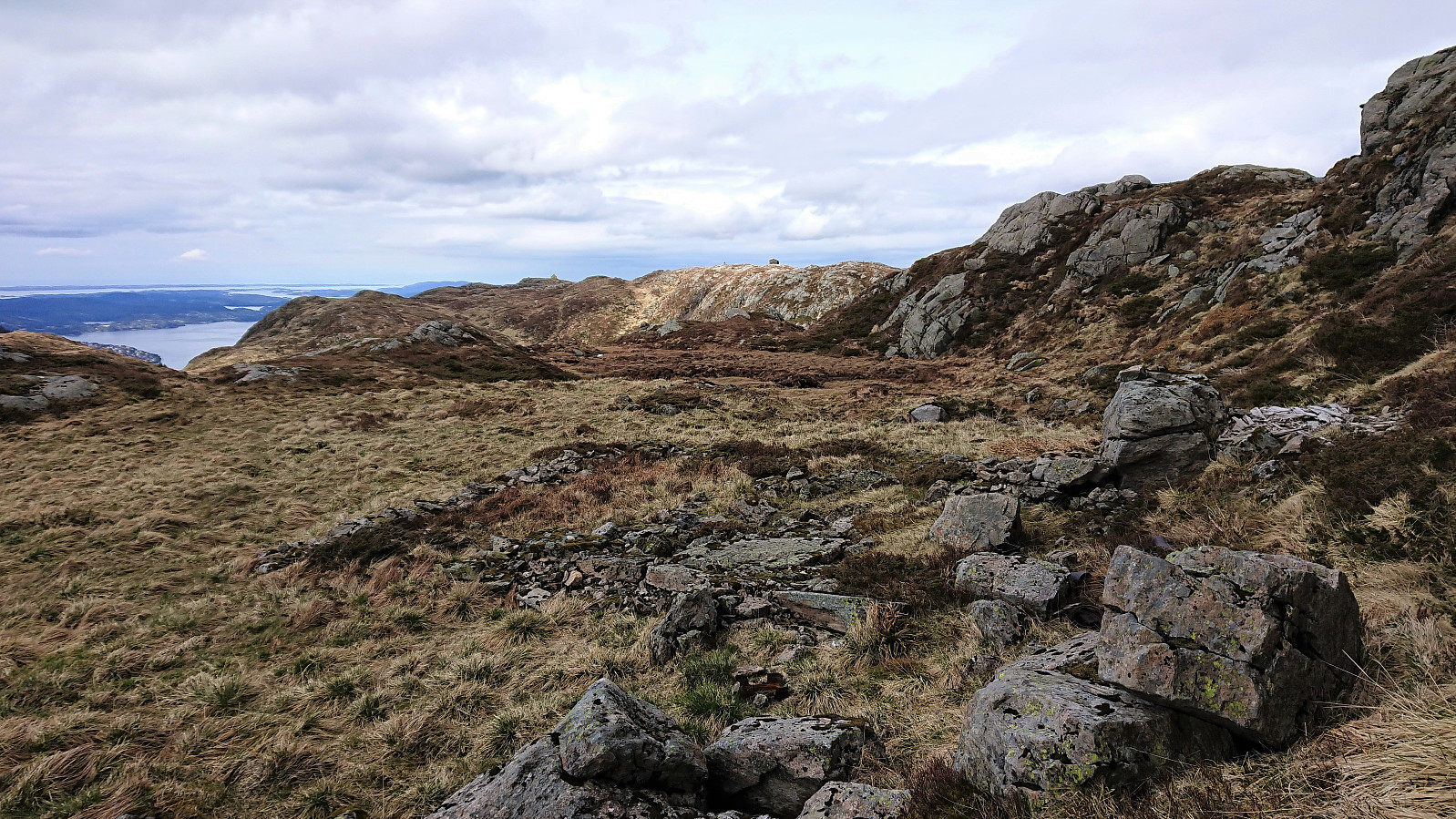
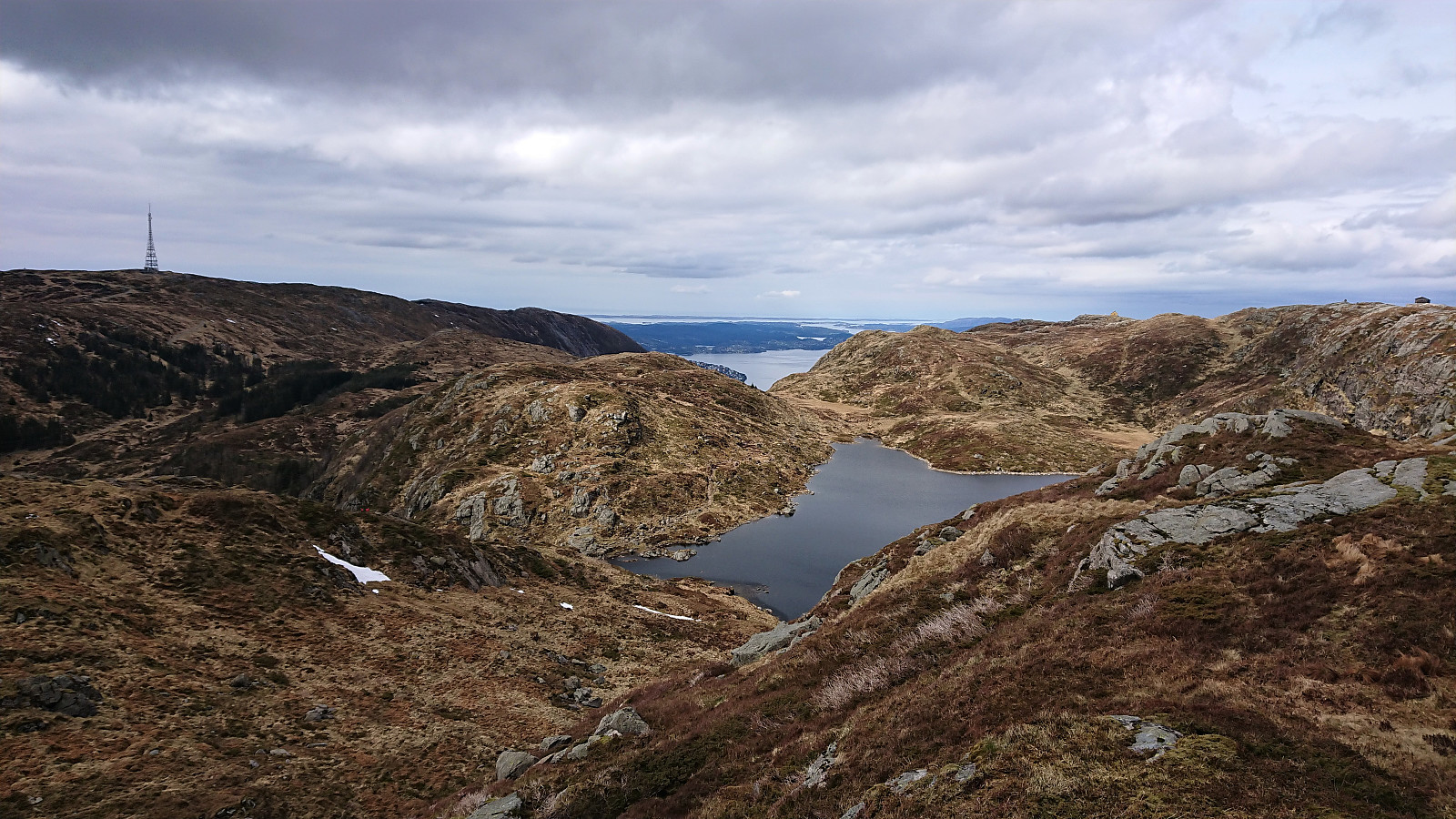
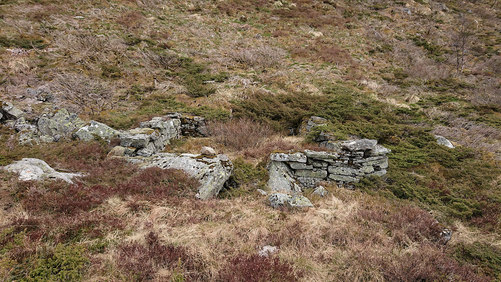
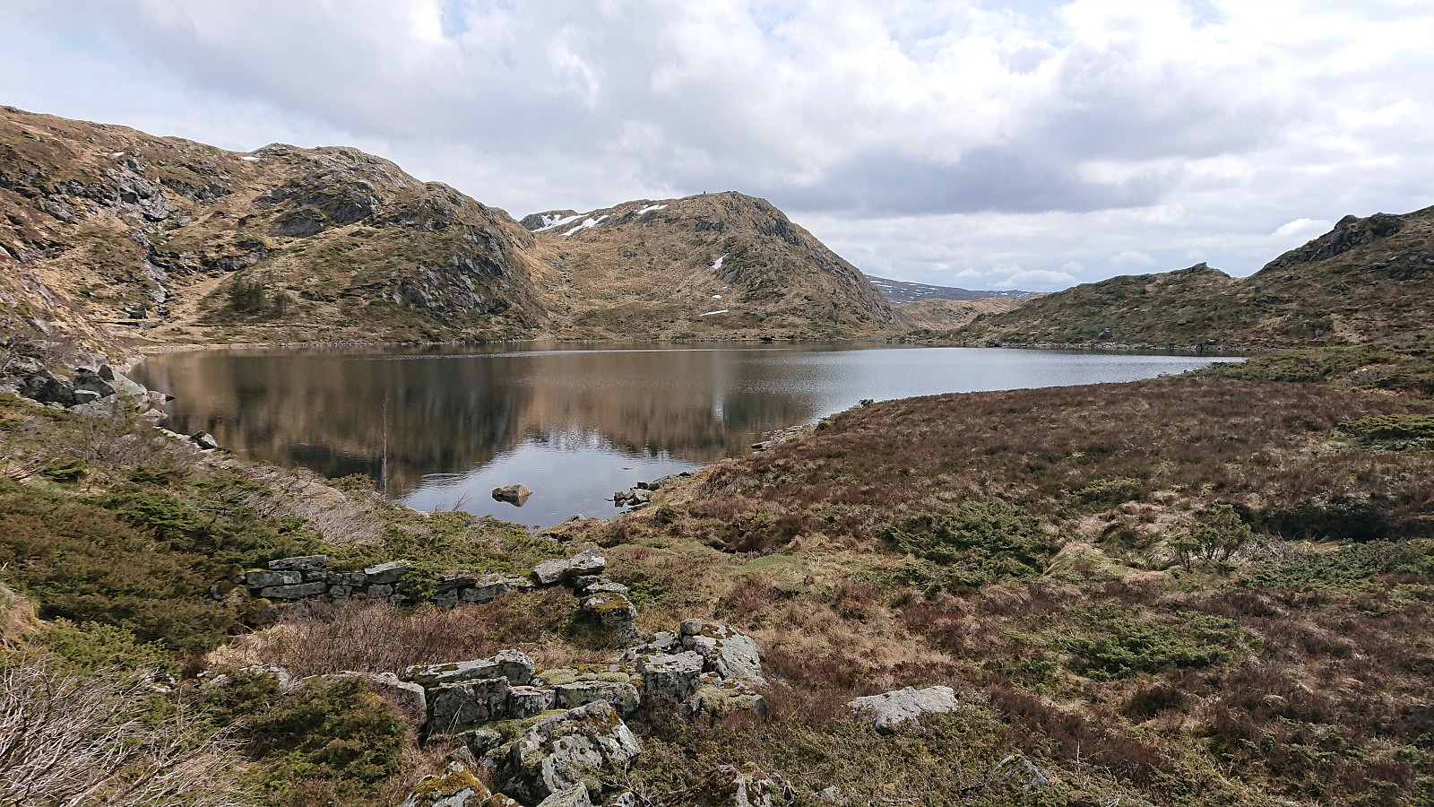
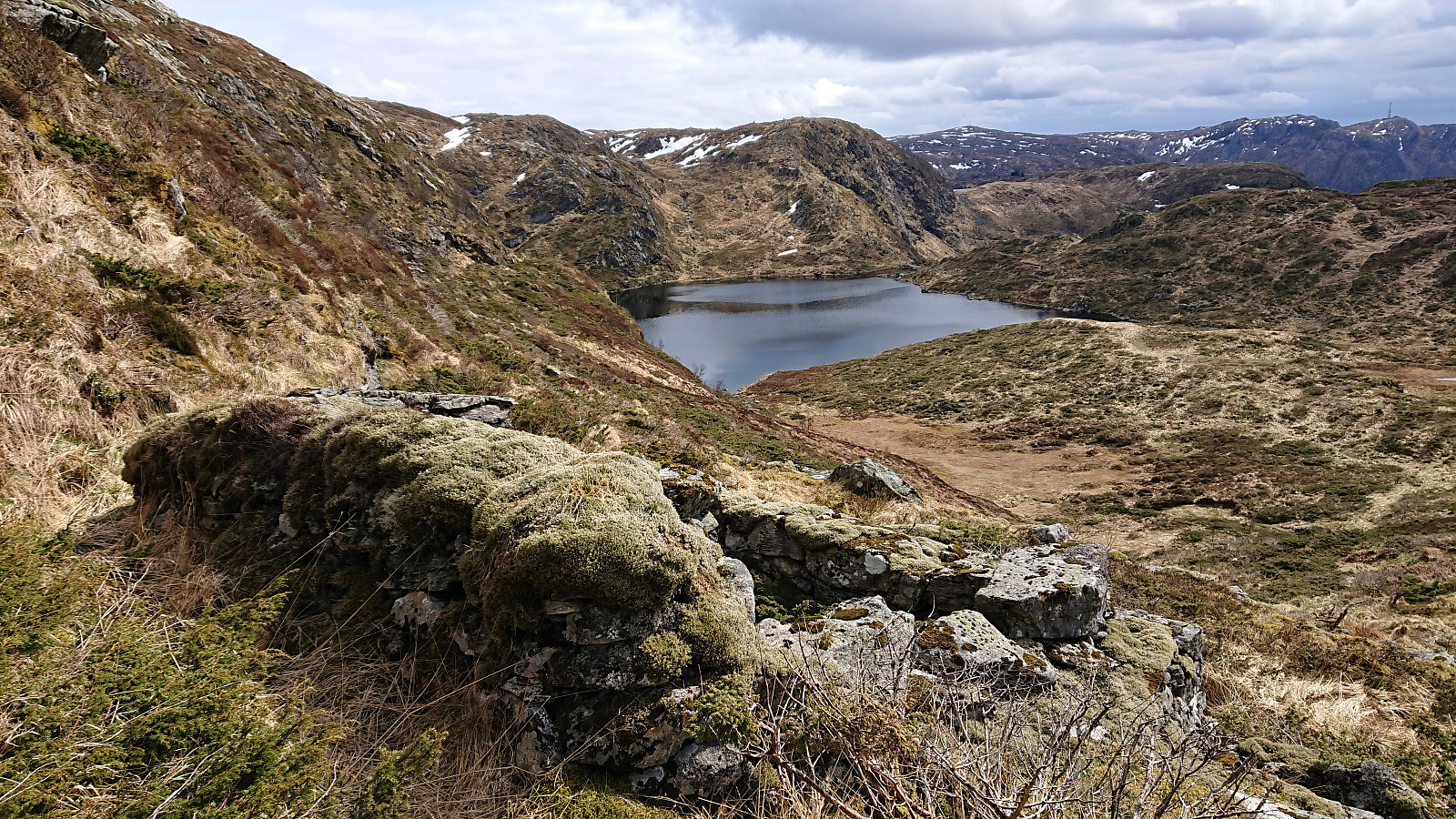
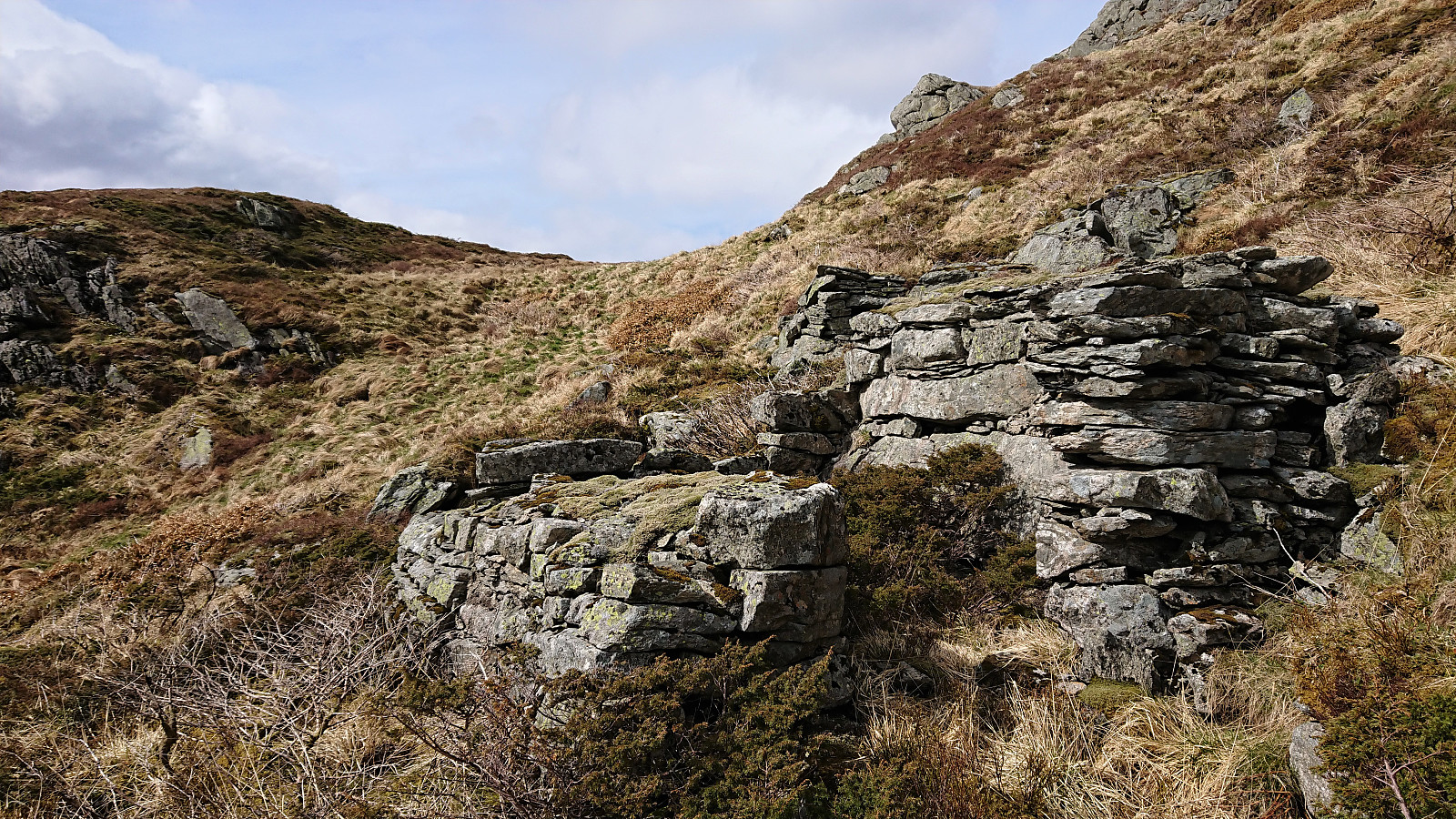
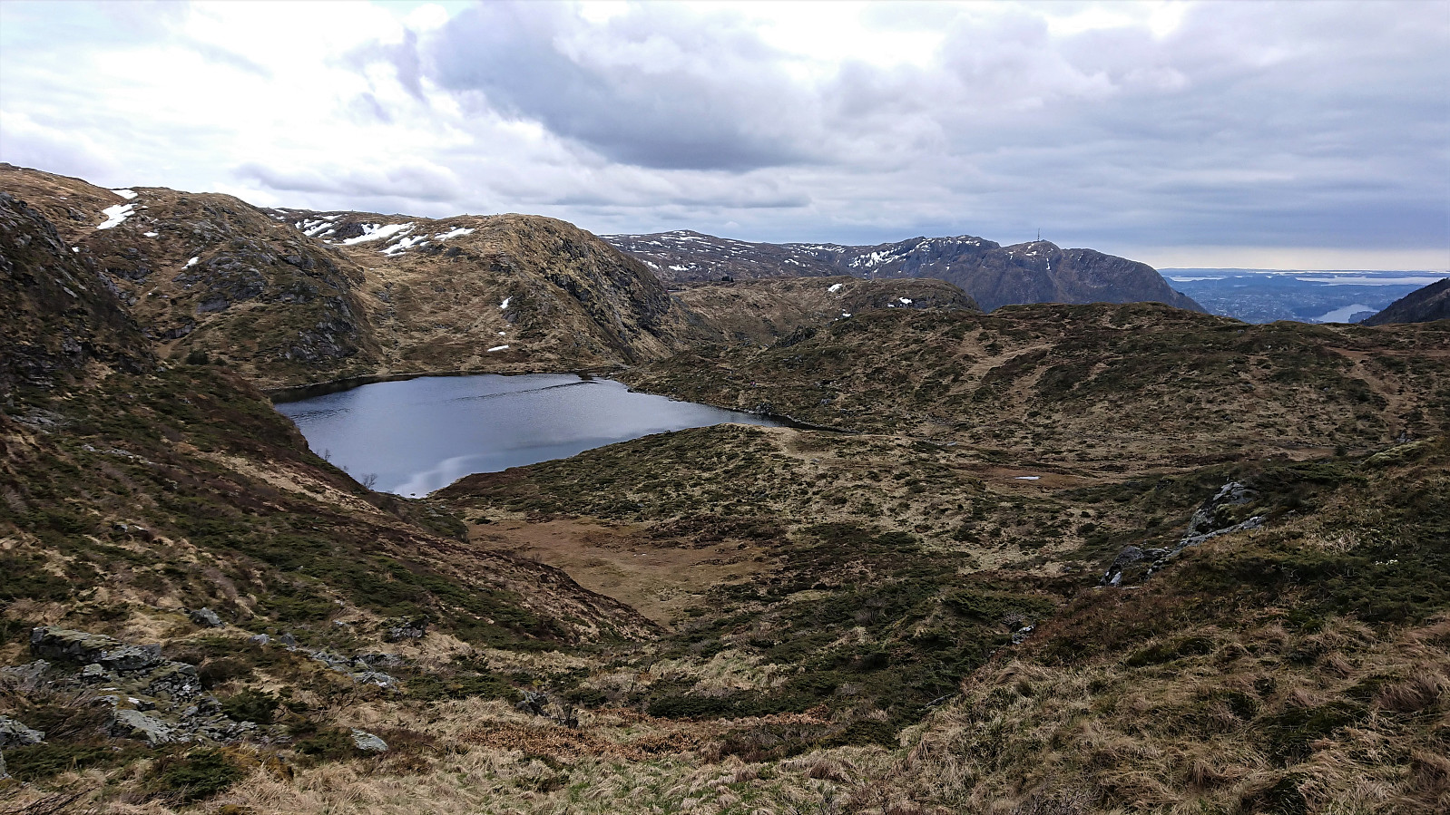
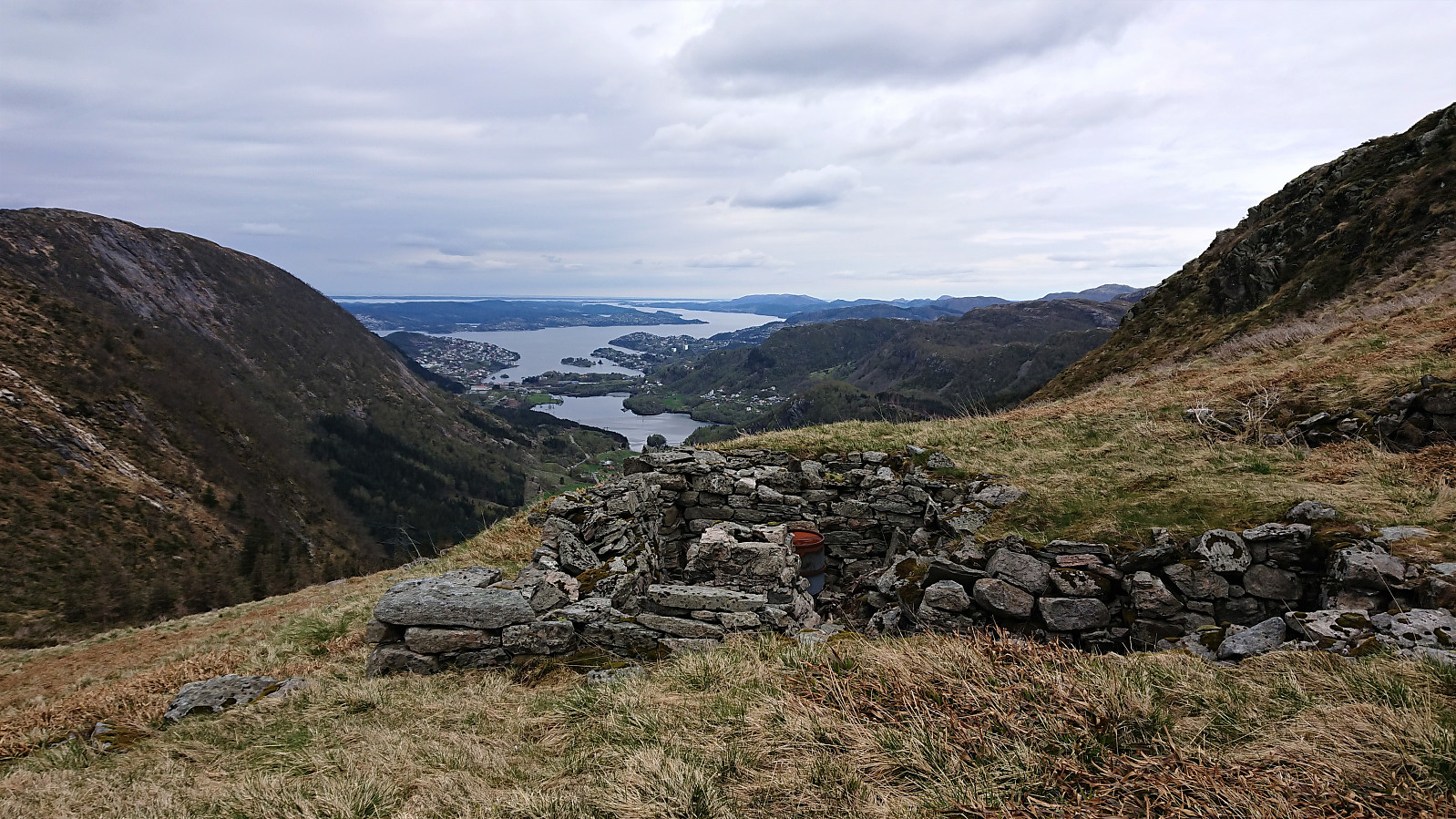
Yet another hike with the goal of searching for old cabins. This time starting from Torget and covering Søre Midtfjellet, Ranen and the area around Øvre Jordalsvatnet. Most of the cabins where easy to locate, the exception being Kveldsol where there were only limited traces left. New PB-elements added: Fredheim, Kveldsol, Brannmannshytten, Fjellstuen, Redningshytten, Fram and Høgelien. Plus Granbakketårnet and Bergensbakken.
For an excellent picture from when all of the cabins from Heimtun to Fjellhytten were still standing, check out From Fløyen 1918-04-20. Do remember to zoom! Here is one with only Heimtun, Fredheim and Kveldsol: From Fløyfjellet between 1925 and 1927. And finally, here is one showing Granbakken: From Midtfjellet toward Skomakerdiket between 1950 and 1959, and one showing Bergensbakken: Bergensbakken between 1920 and 1939 with Redningshytten in the lower right-hand corner.
| Start date | 01.05.2020 11:03 (UTC+01:00 DST) |
| End date | 01.05.2020 17:32 (UTC+01:00 DST) |
| Total Time | 6h 29min |
| Moving Time | 6h 06min |
| Stopped Time | 0h 22min |
| Overall Average | 3.5km/h |
| Moving Average | 3.7km/h |
| Distance | 22.5km |
| Vertical meters | 1,369m |


User comments
Takk!
Written by Arningen 04.05.2020 00:52Veldig kjekke beskrivelser du har av turene dine - inspirerer!
Re: Takk!
Written by hbar 04.05.2020 02:39Takk skal du ha! Hyggelig å høre at noen lar seg inspirere av mine turrapporter på samme måte som jeg blir inspirert av andres. :)