
Ulskebjørnen, Øst for Stangelifjellet, Storsåta and Nukane (21.03.2020)

Written by hbar (Harald Barsnes)

| Start point | Lønborg (58m) |
|---|---|
| Endpoint | Lønborg (55m) |
| Characteristic | Hillwalk |
| Duration | 5h 01min |
| Distance | 19.5km |
| Vertical meters | 1,069m |
| GPS |
|
| Ascents | Nukane (373m) | 21.03.2020 |
|---|---|---|
| Storsåta (434m) | 21.03.2020 | |
| Ulskebjørnen (446m) | 21.03.2020 | |
| Øst for Stangelifjellet (418m) | 21.03.2020 | |
| Visits of other PBEs | Stallane (207m) | 21.03.2020 |
| Vinddalsveien p-lomme (160m) | 21.03.2020 |
Ulskebjørnen, Øst for Stangelifjellet, Storsåta and Nukane
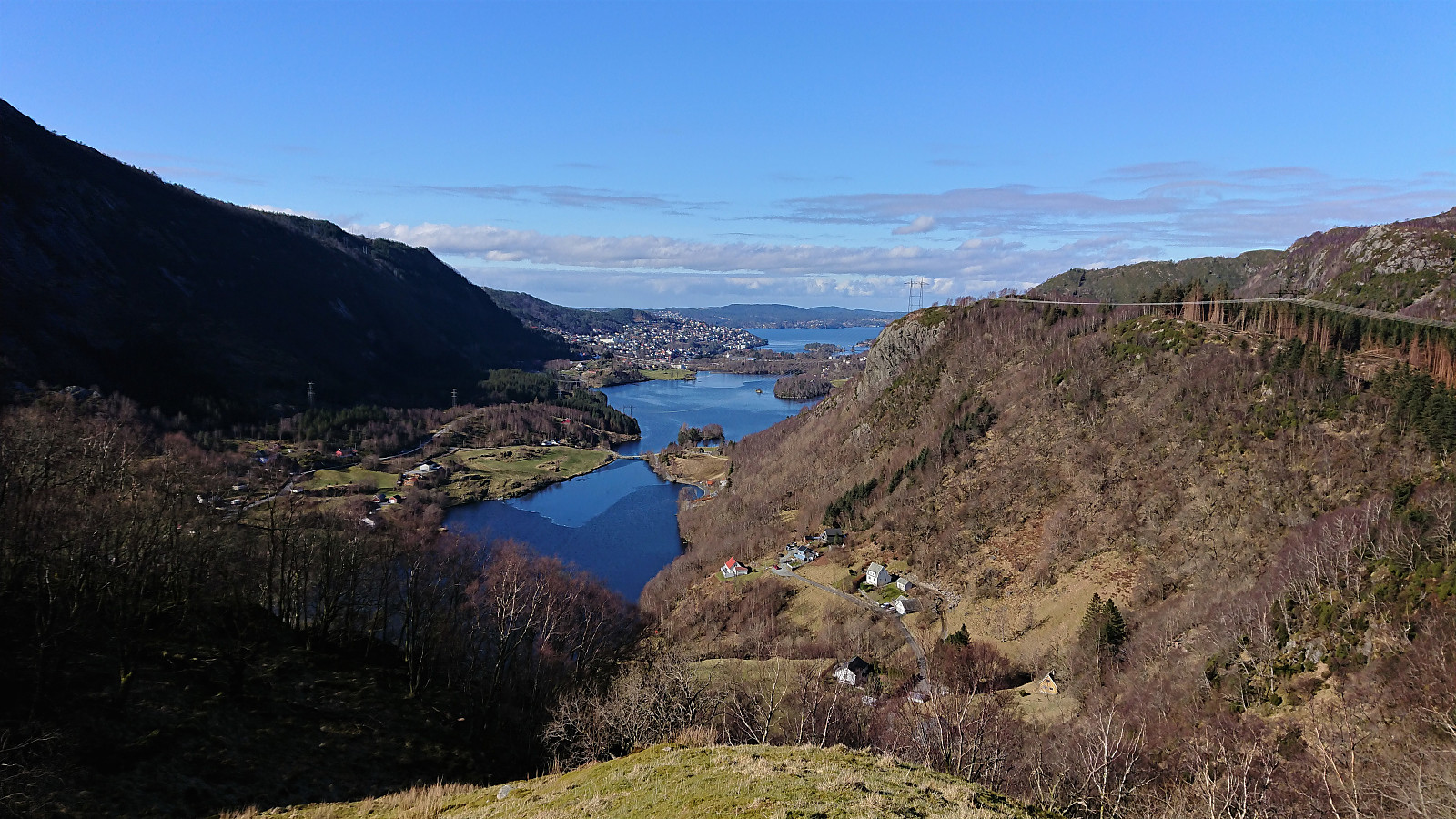
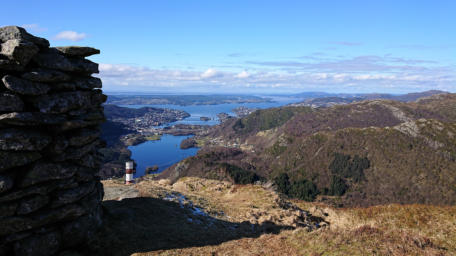
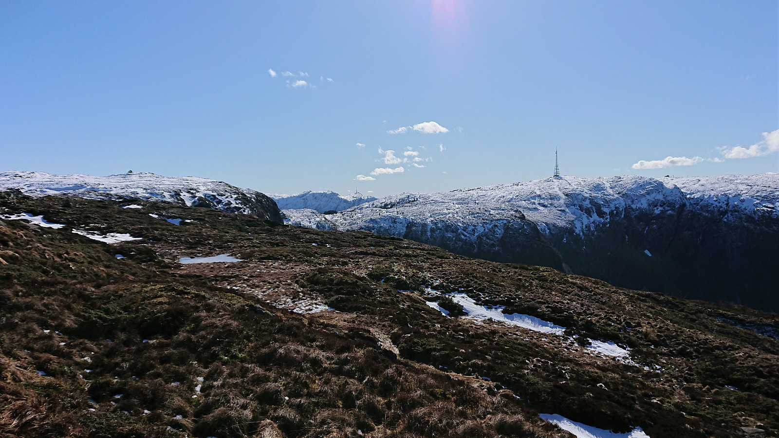
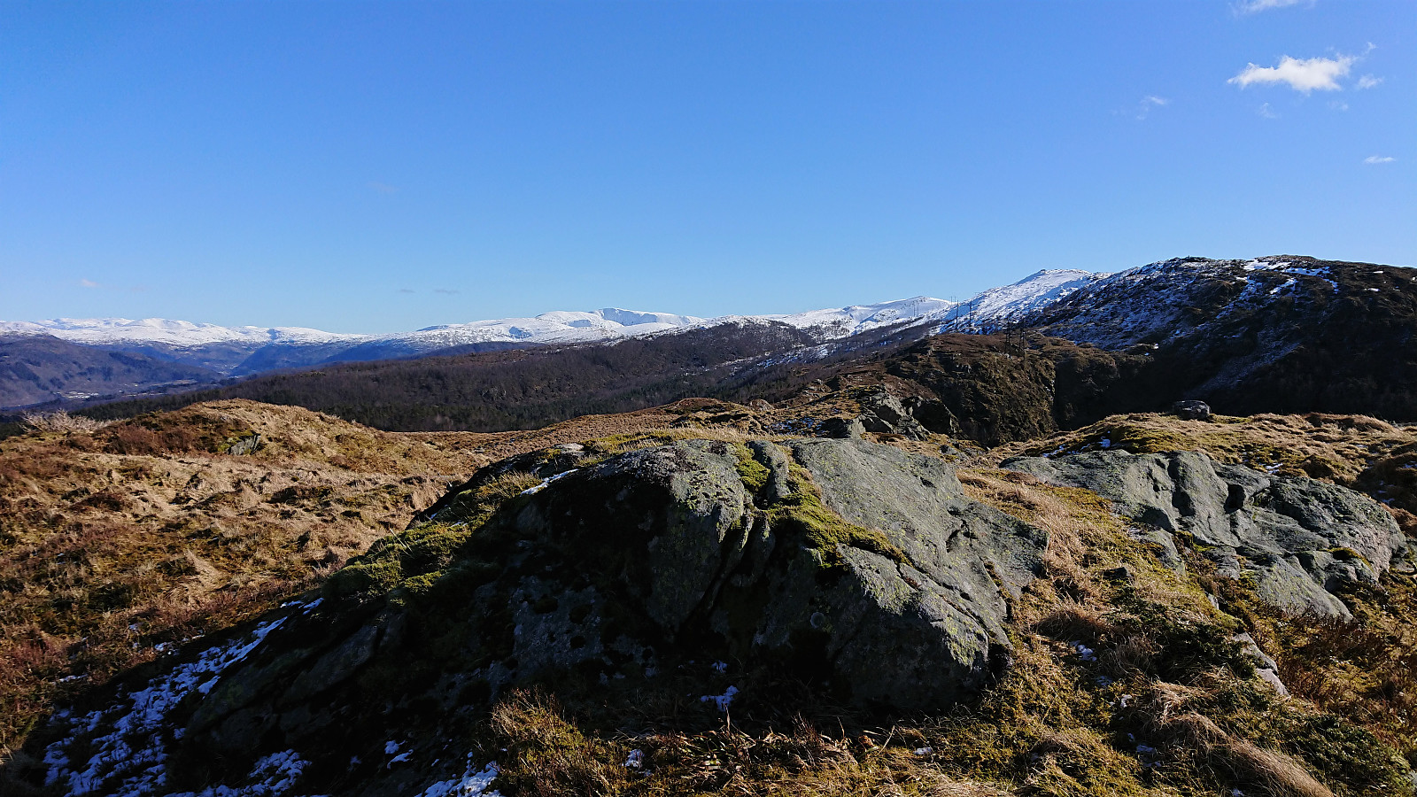
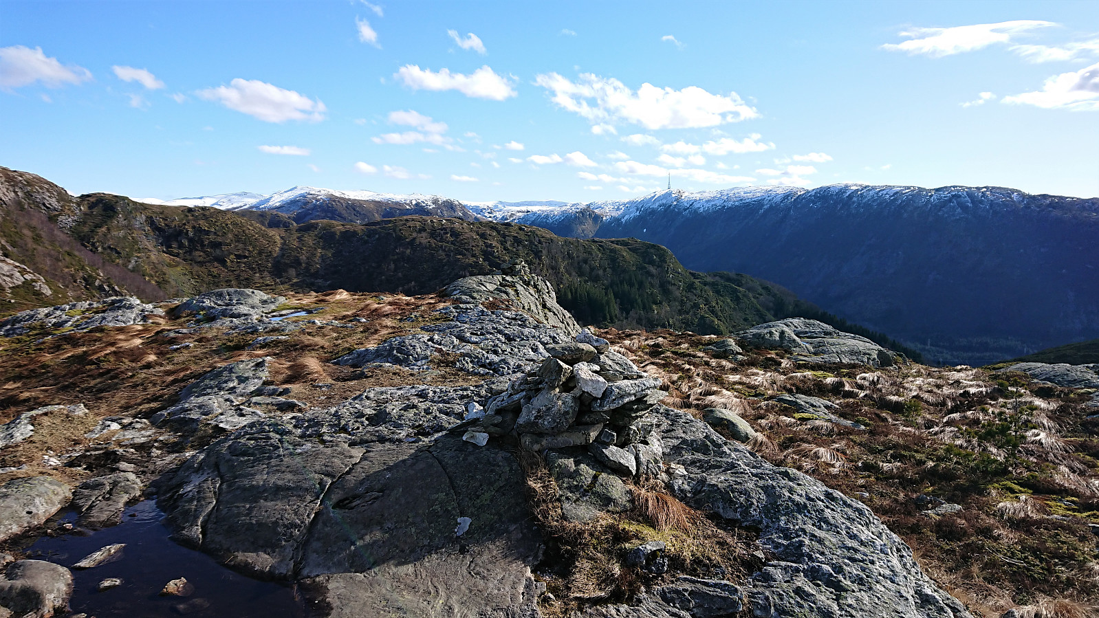
A Saturday with excellent weather for hiking usually means travelling to visit new peaks, but with public transportation out of the question due to the Coronavirus, I had to settle for a more local alternative. Some unexpected ice in between Ulskebjørnen and Nukane, but otherwise a very enjoyable hike!

| Start date | 21.03.2020 11:14 (UTC+01:00) |
| End date | 21.03.2020 16:15 (UTC+01:00) |
| Total Time | 5h 01min |
| Moving Time | 4h 54min |
| Stopped Time | 0h 6min |
| Overall Average | 3.9km/h |
| Moving Average | 4.0km/h |
| Distance | 19.5km |
| Vertical meters | 1,068m |


User comments