
Dyviksåta and Utslettefjellet (07.03.2020)

Geschrieben von hbar (Harald Barsnes)

| Startpunkt | Dyvikdalen (51m) |
|---|---|
| Endpunkt | Litlabøvegen (47m) |
| Tourcharakter | Bergtour |
| Tourlänge | 2h 28min |
| Entfernung | 10,0km |
| Höhenmeter | 541m |
| GPS |
|
| Besteigungen | Dyviksåta (228m) | 07.03.2020 |
|---|---|---|
| Utslettefjellet (252m) | 07.03.2020 | |
| Besuche anderer PBE | Utsiktspunkt ovenfor Dyvik (165m) | 07.03.2020 |
| Øykjedalen p-plass (45m) | 07.03.2020 |
Dyviksåta and Utslettefjellet
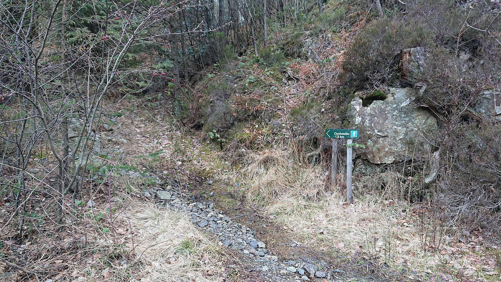
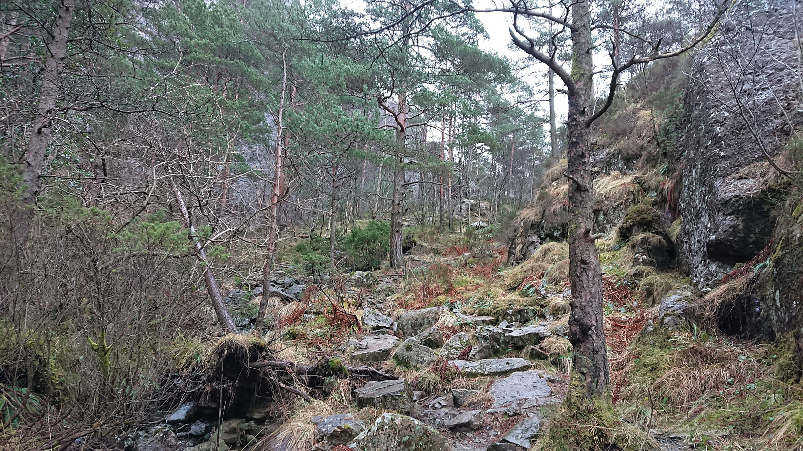
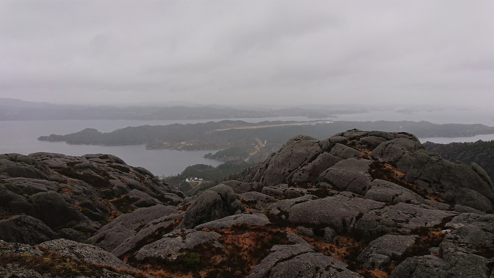
When spending the weekend at Stord for a birthday party, I of course managed to find time for a short hike before the evening's celebrations were to commence. The poor weather resulted in nobody else wanting to join though. Securing a lift was significantly easier, and I was soon dropped off at the marked trailhead for Dyviksåta.
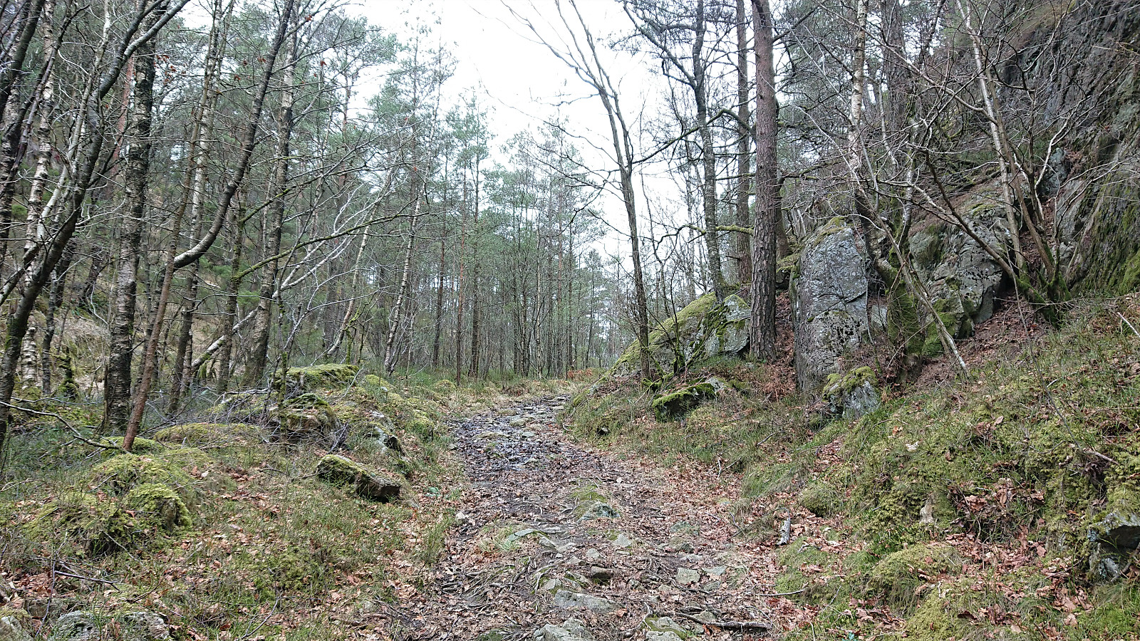
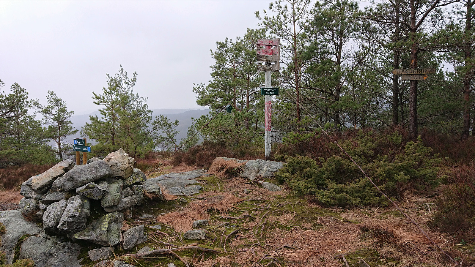
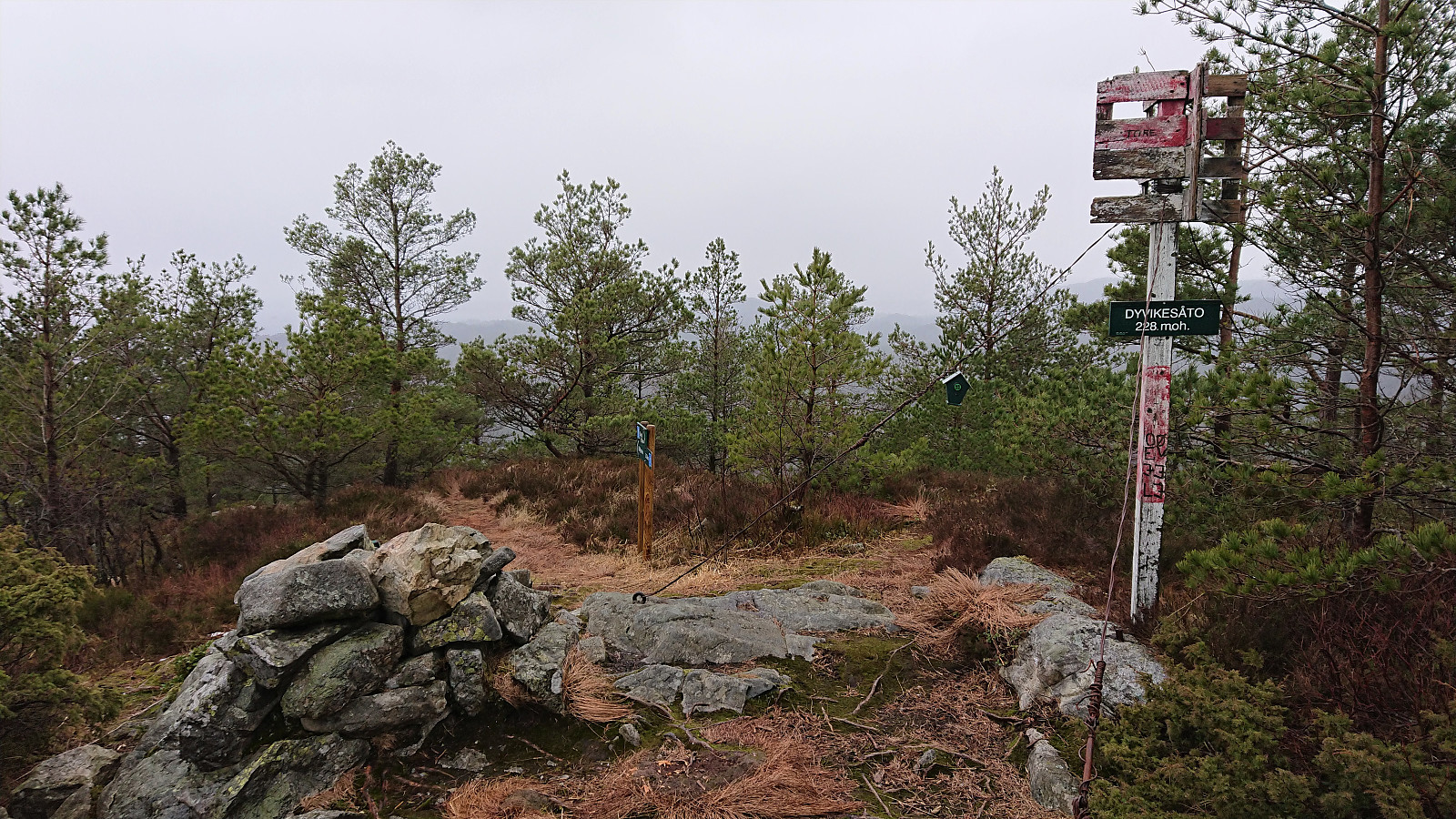
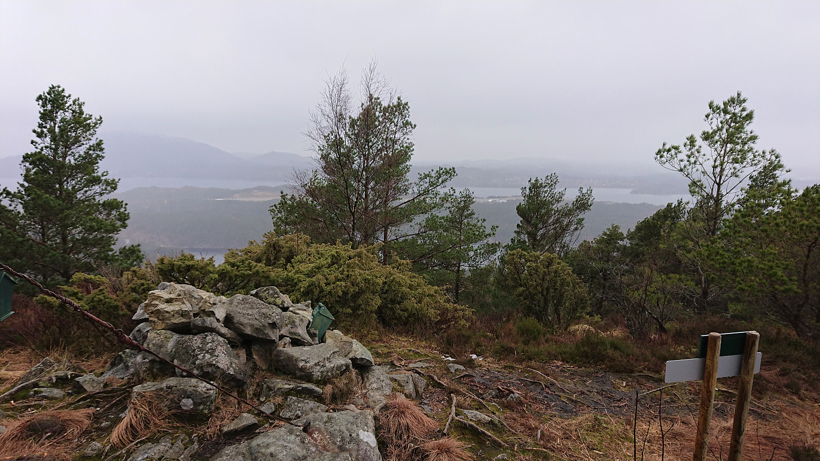
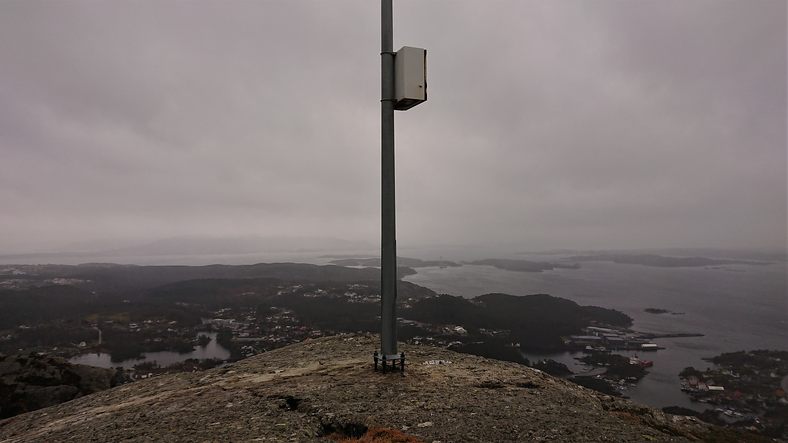
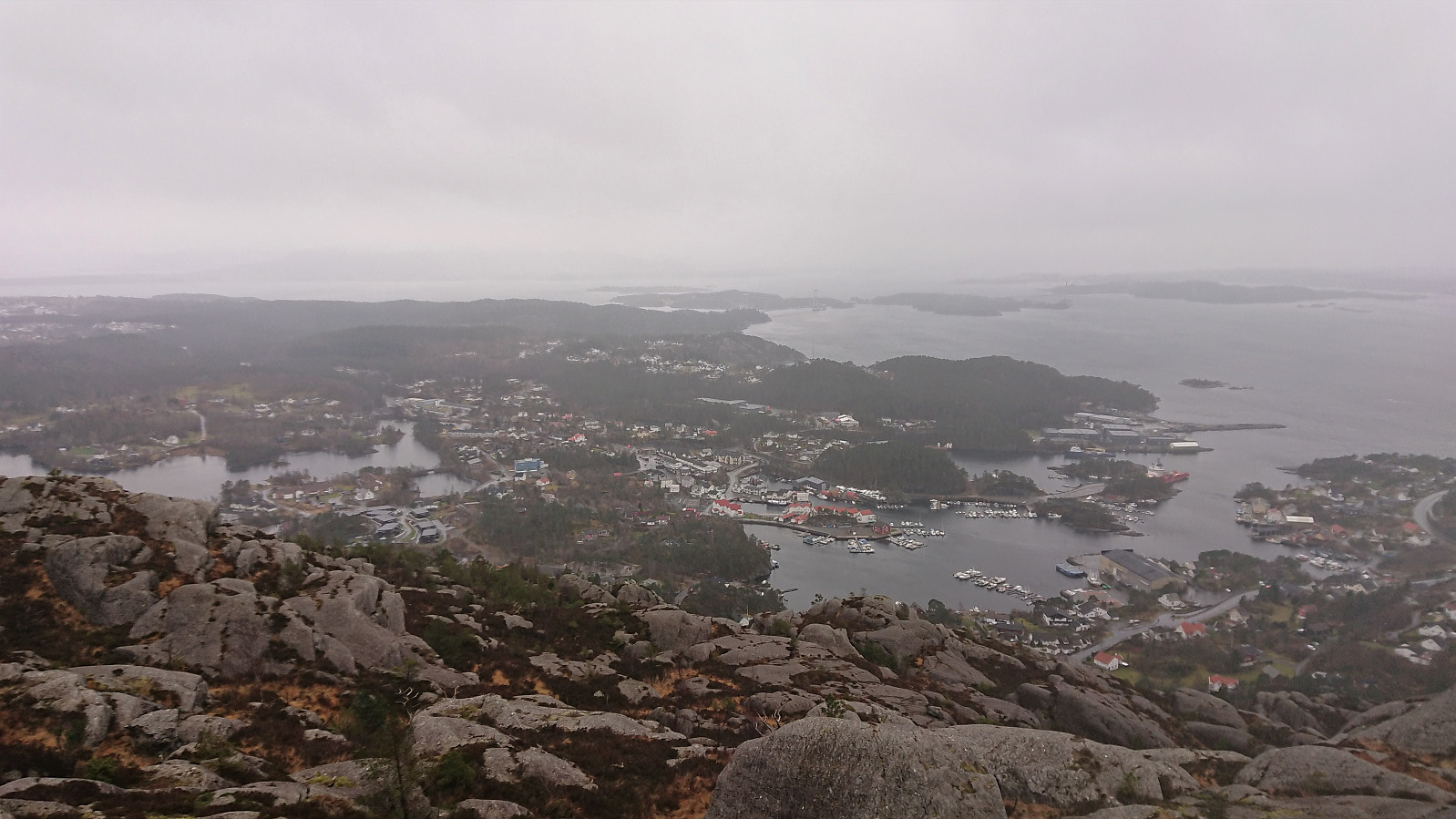
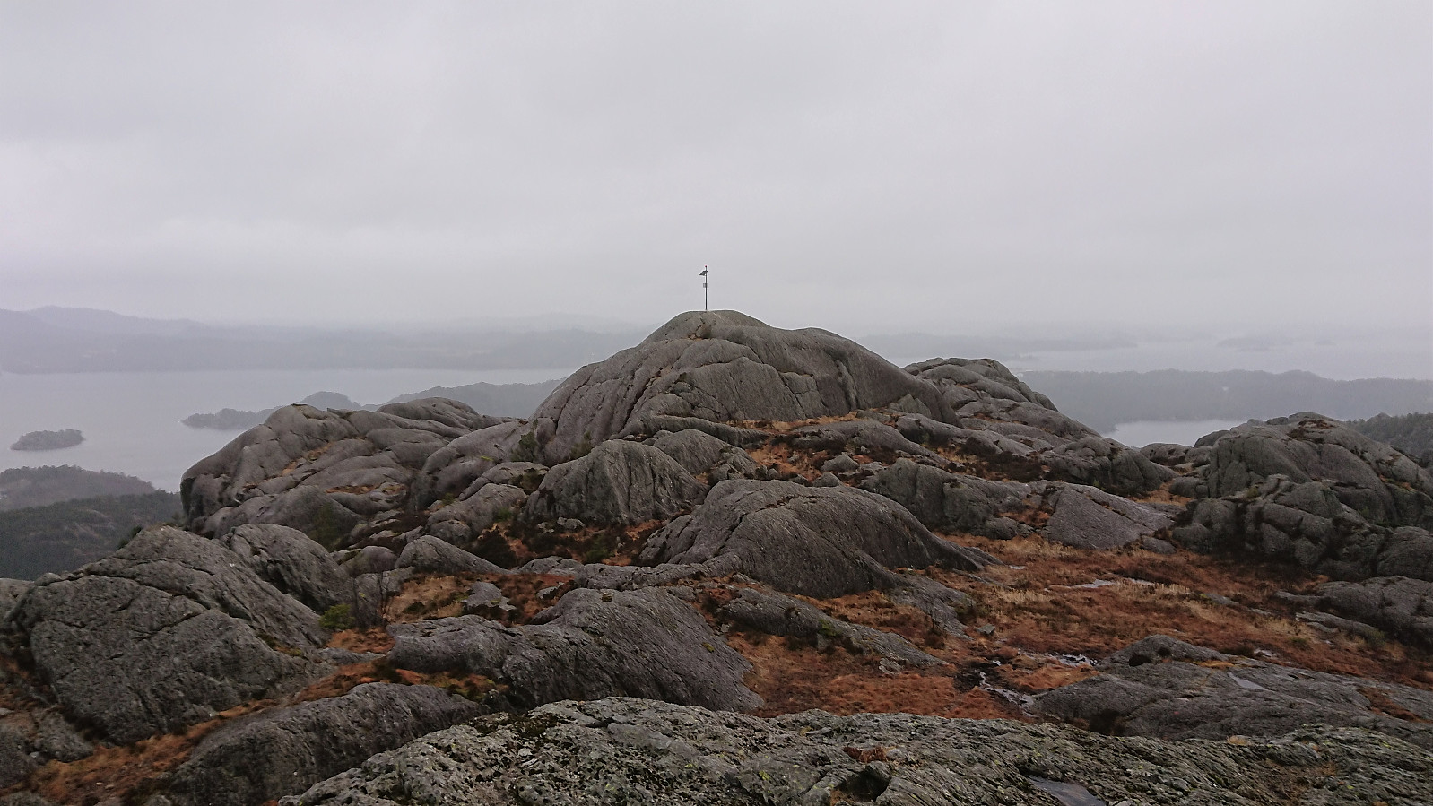
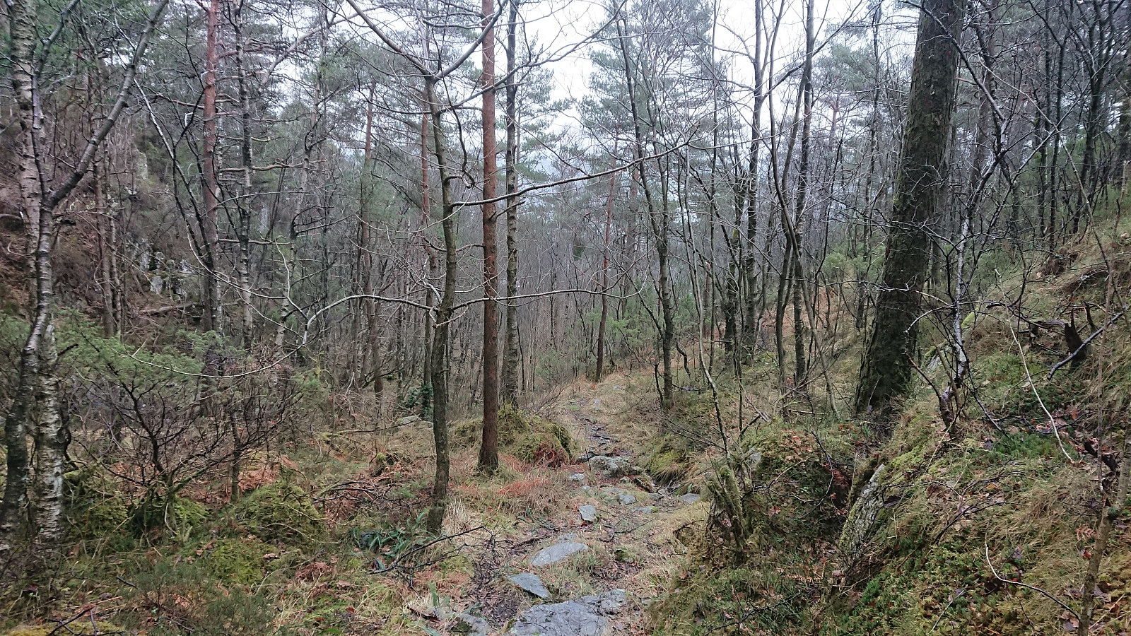
From there, the marked trail could easily be followed all the way to the summit, which today provided relatively limited views due to the low-hanging clouds. There was a visitor register, but it was soaked and therefore I did not attempt to sign my name. Given the increasing amounts of rain and the strong winds, I did not stay long before returning along the same trail.
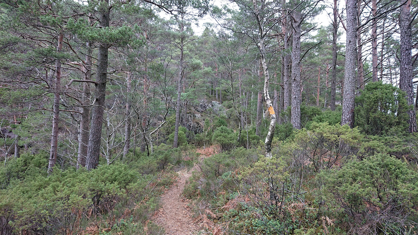
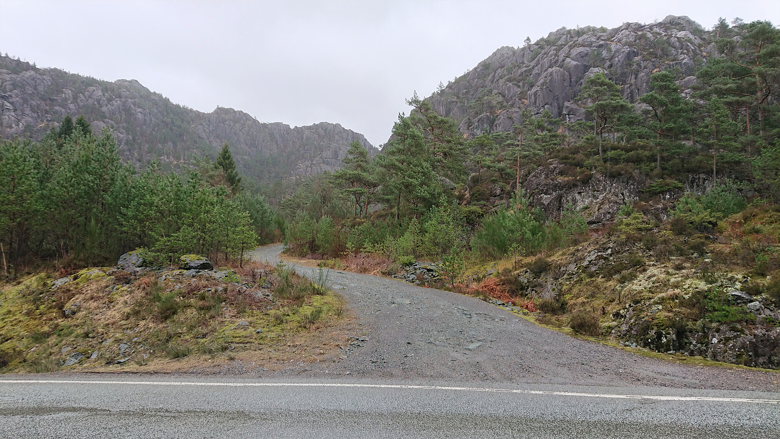
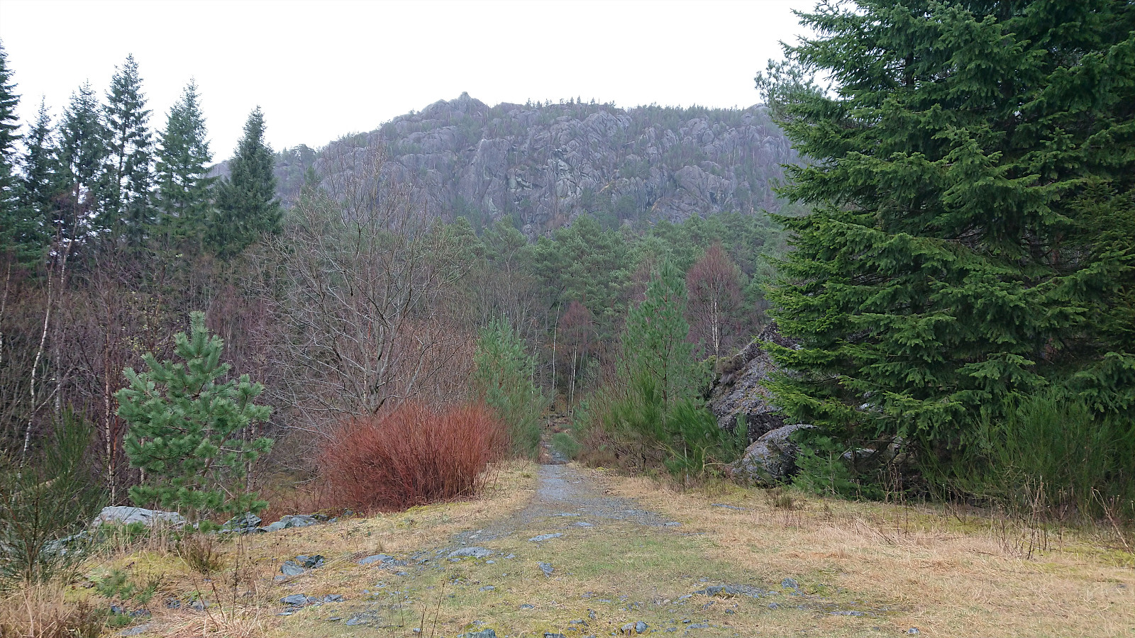
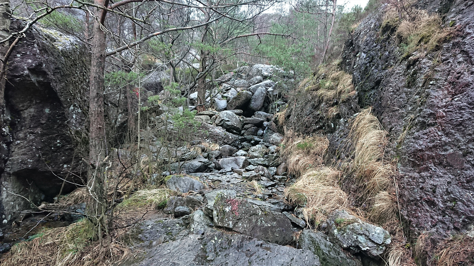
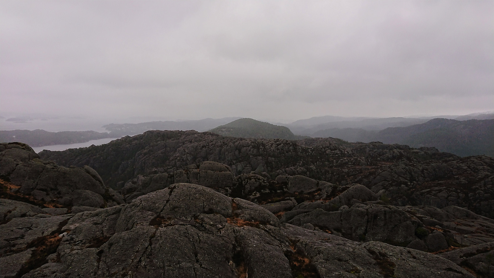
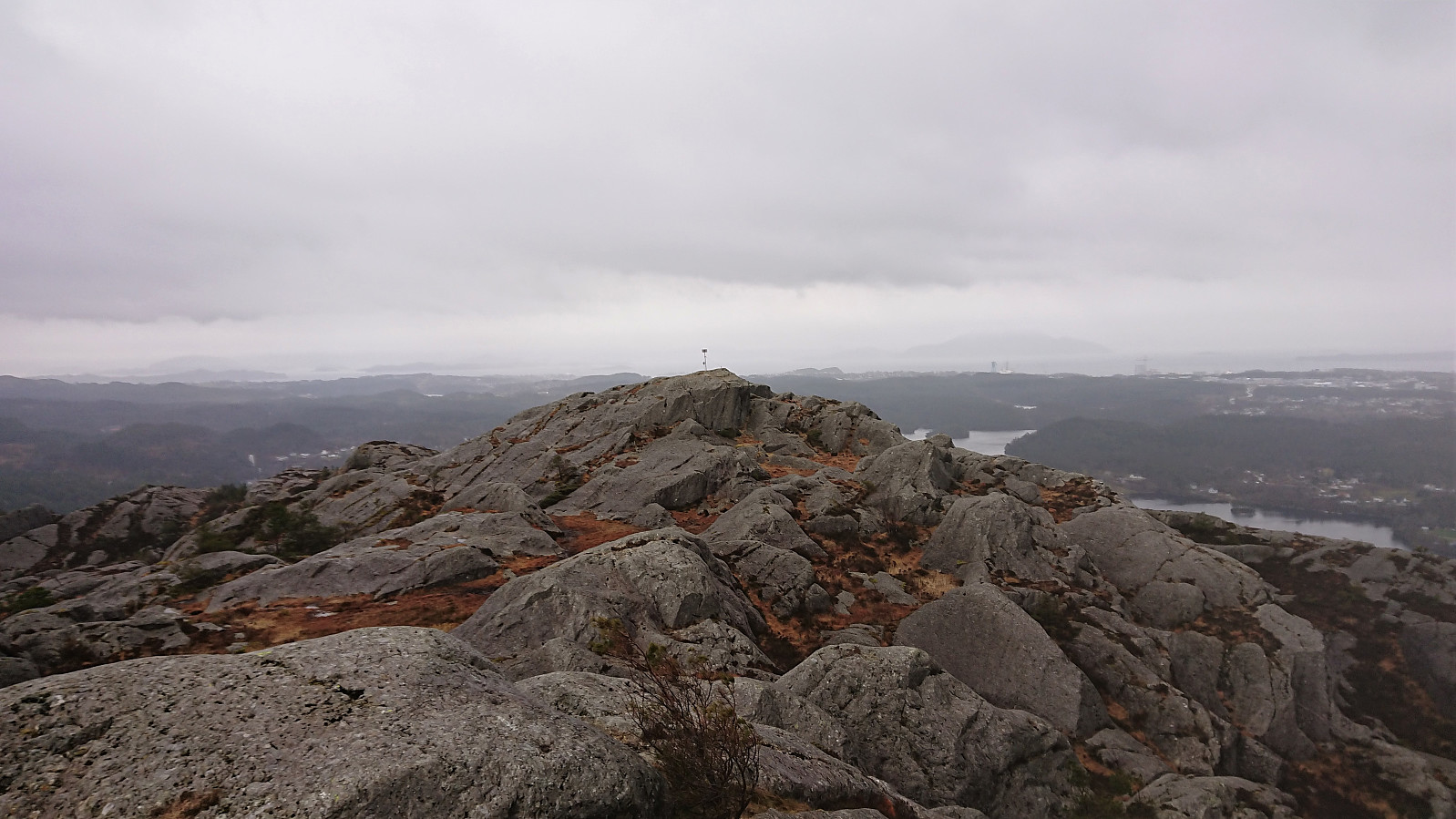
Upon reaching the road, I followed it south for about 800 meters to the unmarked gravel road indicating the start of the hike to Utslettefjellet. The trail from the parking lot was also unmarked as far as I could tell, but further up faint red T's started appearing, which could be followed all the way to the trig marker. But given the trig marker not being at the highest point, I left the marked trail a bit earlier, and with a bit of light climbing, made my own way to the summit.
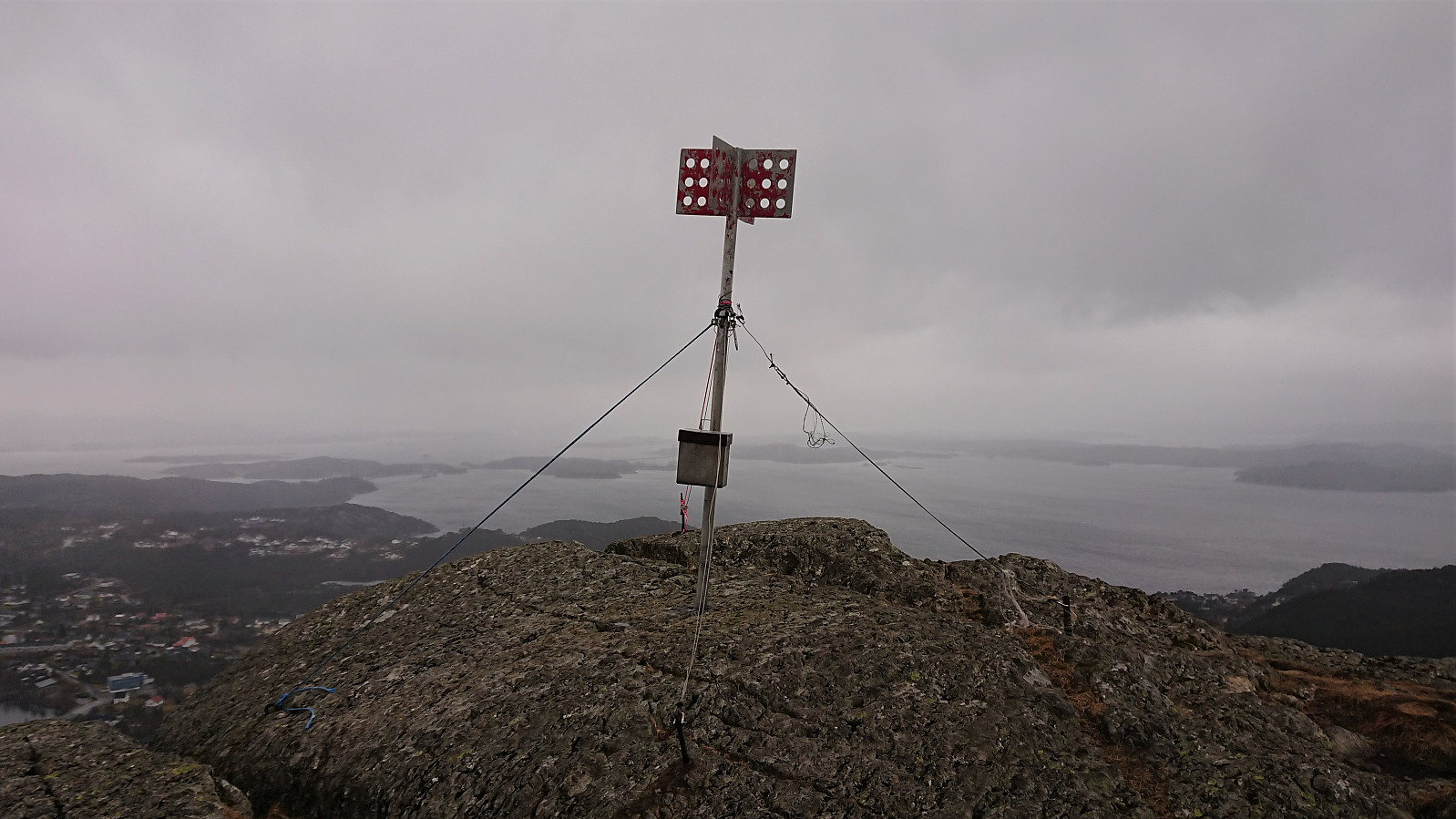
By now the wind had picked up even more, almost at the point of making it difficult to stand upright. I therefore moved quickly to the trig marker, where the visitor register was located. I did not attempt to sign my name though, fearing that I would not be able to hold on to the book and sign it at the same time.
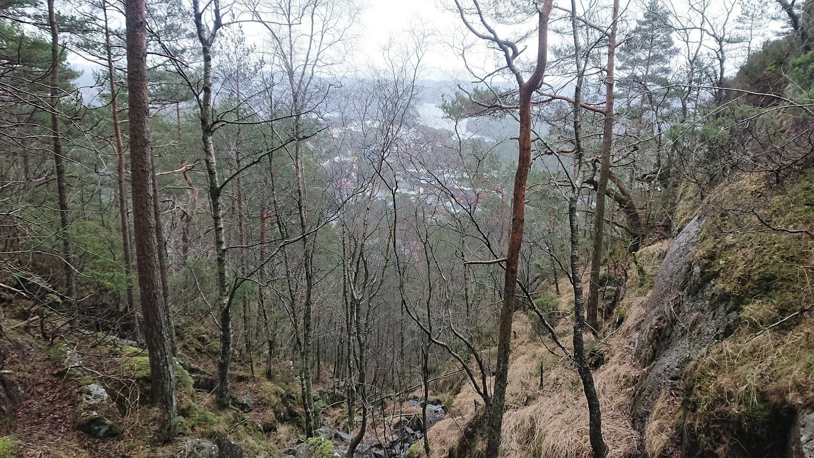
Instead of returning west, I followed a weaker trail east (at times marked with more faint red T's). Slippery and steeper than expected for the final 150 meters, but nothing challenging. From there, the hike was concluded by walking down to the main road and then following it until being picked up shortly after passing Litlabø.
Conclusion
Overall, a nice hike short hike with great views that can be recommended. Probably a lot more enjoyable under better weather conditions though.

| Startzeitpunkt | 07.03.2020 13:54 (UTC+01:00) |
| Endzeitpunkt | 07.03.2020 16:22 (UTC+01:00) |
| Gesamtzeit | 2h 28min |
| Zeit in Bewegung | 2h 22min |
| Pausenzeit | 0h 5min |
| Gesamtschnitt | 4,1km/h |
| Bewegungsschnitt | 4,2km/h |
| Entfernung | 10,0km |
| Höhenmeter | 540m |


Benutzerkommentare