Hovda from Våge (02.02.2020)

Written by hbar (Harald Barsnes)

| Start point | Våge kai (1m) |
|---|---|
| Endpoint | Våge kai (1m) |
| Characteristic | Hillwalk |
| Duration | 4h 24min |
| Distance | 21.8km |
| Vertical meters | 711m |
| GPS |
|
| Ascents | Hovda (268m) | 02.02.2020 |
|---|
Hovda from Våge
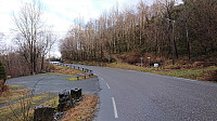
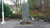
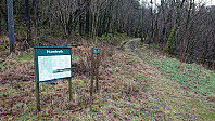
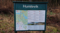
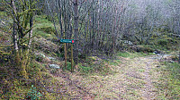
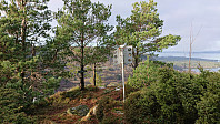
Started by taking the bus to Halhjem and the ferry to Våge, from where I walked east along the road for about 8.5 km before locating the marked trailhead for Hovda. On the opposite side of the road from the trailhead, there was also a small parking lot and World War II memorial monument (the latter indicated as "Minnestøtta" on the later trail signs).
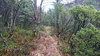
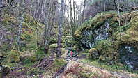
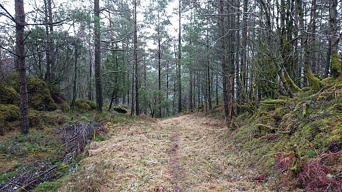
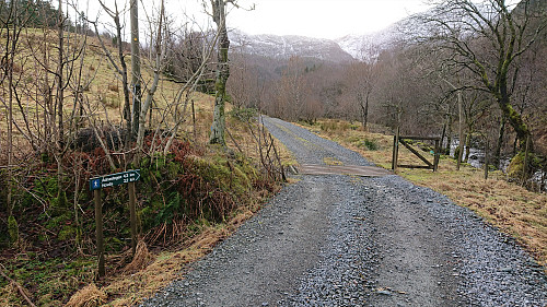
For the first 400 meters the trail followed a tractor road, before suddenly turning left and leaving the tractor road behind. If this exit had not been marked I would most likely have skipped it, as it at times looked more like a deer track than a marked trail, and it was also very wet.
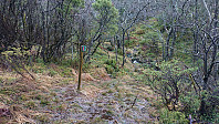
The trail markers were not very frequent, but did show up when needed, and was generally easy to follow. Just don't expect to be able to walk from one marker to the next. In the narrow valley north of the summit, the trail was today half trail and half small stream. And the trail was overall of low quality until connecting with a tractor road east of the summit. From there to the summit the quality was much better.
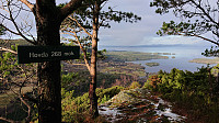
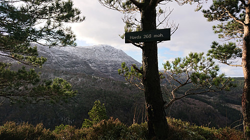
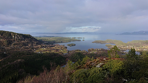
The summit provided excellent views, mainly to the north and west, and also contained a visitor register. After enjoying the views, I returned to the earlier crossroads, but this time heading south along the tractor road. The road would turn very wet before connecting with the gravel road in Sanddalen, but was still significantly better than the trail from the north.
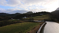
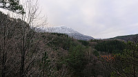
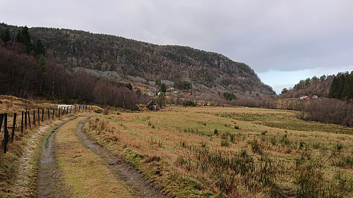
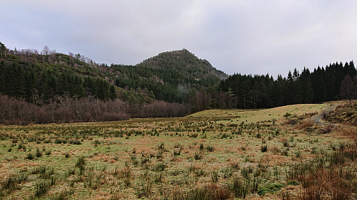
Halfway to main road, there was the option of following a marked trail back to the trailhead, but I rejected this option and instead continued north to the main road (which also had its own marked trailhead), and was rewarded by some nice views back up towards Hovda along the way.
The hike had so far gone faster than expected, and if I managed to keep up the speed I should be able to make an earlier ferry at Våge. This had the added bonus of potentially cutting the half hour transfer at Halhjem, but only if the bus did not do its usual trick of departing just before the ferry arrives, as then the transfer would go up to one hour...
I did my part, and made very good progress towards Våge, and every thing looked good, before the heavens opened and I was soaked within minutes. I decided to push on and made it to the ferry with 5-10 minute to spare.
On the ferry I changed into dry clothes and was ready to run for the bus when we arrived at Halhjem. And for once the bus had not left before the ferry arrived! I'm not sure whether the driver saw me running and decided to wait, or if he simply decided to let the cars from the ferry pass by before leaving, but in any case, I made it onto the bus!
Conclusion
In summary, while the marked trail to Hovda from the north was perhaps worse than expected, the views from the summit more than made up for that. The tractor road used for the descent was also rather wet at times, but otherwise ok, and if using the trail on the ascent and the tractor road on the descent, the hike turns into a nice roundtrip.
The 8.5 km walk (each way) along the road was not the most exciting, although there were some nice views along the way. Though I do not expect to see many hikers using this as a way to get to Hovda.
| Start date | 02.02.2020 09:51 (UTC+01:00) |
| End date | 02.02.2020 14:15 (UTC+01:00) |
| Total Time | 4h 24min |
| Moving Time | 4h 09min |
| Stopped Time | 0h 14min |
| Overall Average | 4.9km/h |
| Moving Average | 5.2km/h |
| Distance | 21.8km |
| Vertical meters | 711m |



User comments