
Uggdalsvarden, Singelstadfjellet and Ramnanuten (19.01.2020)

Written by hbar (Harald Barsnes)

| Start point | Våge kai (1m) |
|---|---|
| Endpoint | Våge kai (1m) |
| Characteristic | Hillwalk |
| Duration | 5h 39min |
| Distance | 21.1km |
| Vertical meters | 965m |
| GPS |
|
| Ascents | Ramnanuten (266m) | 19.01.2020 |
|---|---|---|
| Singelstadfjellet (511m) | 19.01.2020 | |
| Uggdalsvarden (448m) | 19.01.2020 | |
| Visits of other PBEs | Vestølen (335m) | 19.01.2020 |
Uggdalsvarden, Singelstadfjellet and Ramnanuten
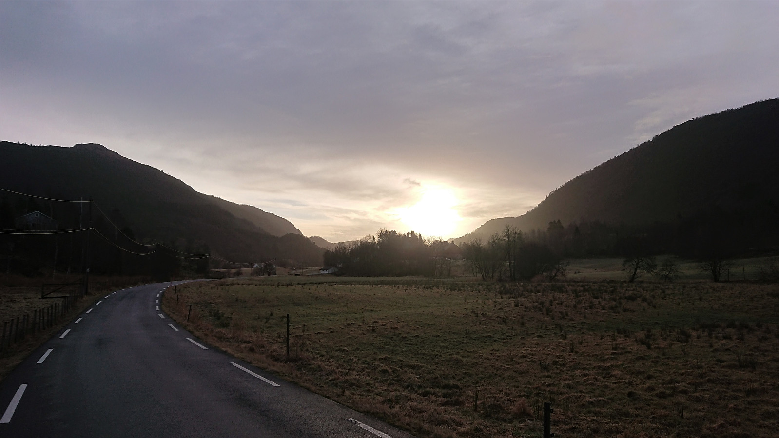

Given that my last attempt to visit Singelstadfjellet (in combination with Stølafjellet) had to be abandoned in order to make sure to make it back in time for the ferry (see Stølafjellet and Ilefjellet from Våge), I was ready for another attempt when a day of reasonable weather finally came around.
As usual, I started by taking the bus to Halhjem and the ferry to Våge, but this time the plan was not to ascend Singelstadfjellet from Dalen, as for my previous hike, but rather from Uggdalsdalen, as my research had uncovered a marked trail from Øyjorda up to Uggdalsvarden: Tursti Øyjoro – Uggdalsvarden, and I assumed it should not be too difficult to continue the short distance to Singelstadfjellet from there.
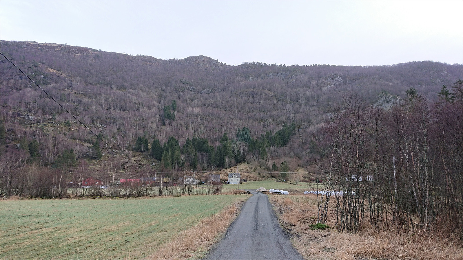
From Våge I therefore started by walking along the roads to Øyjorda, hoping I would easily locate the trailhead. This was however not the case, and to be sure, I knocked on a couple of doors to ask for directions. It turned out that trailhead signs had been created, but were not yet put up. The directions were pretty straightforward though: follow the tractor road until it ends and from there follow the marked trail.
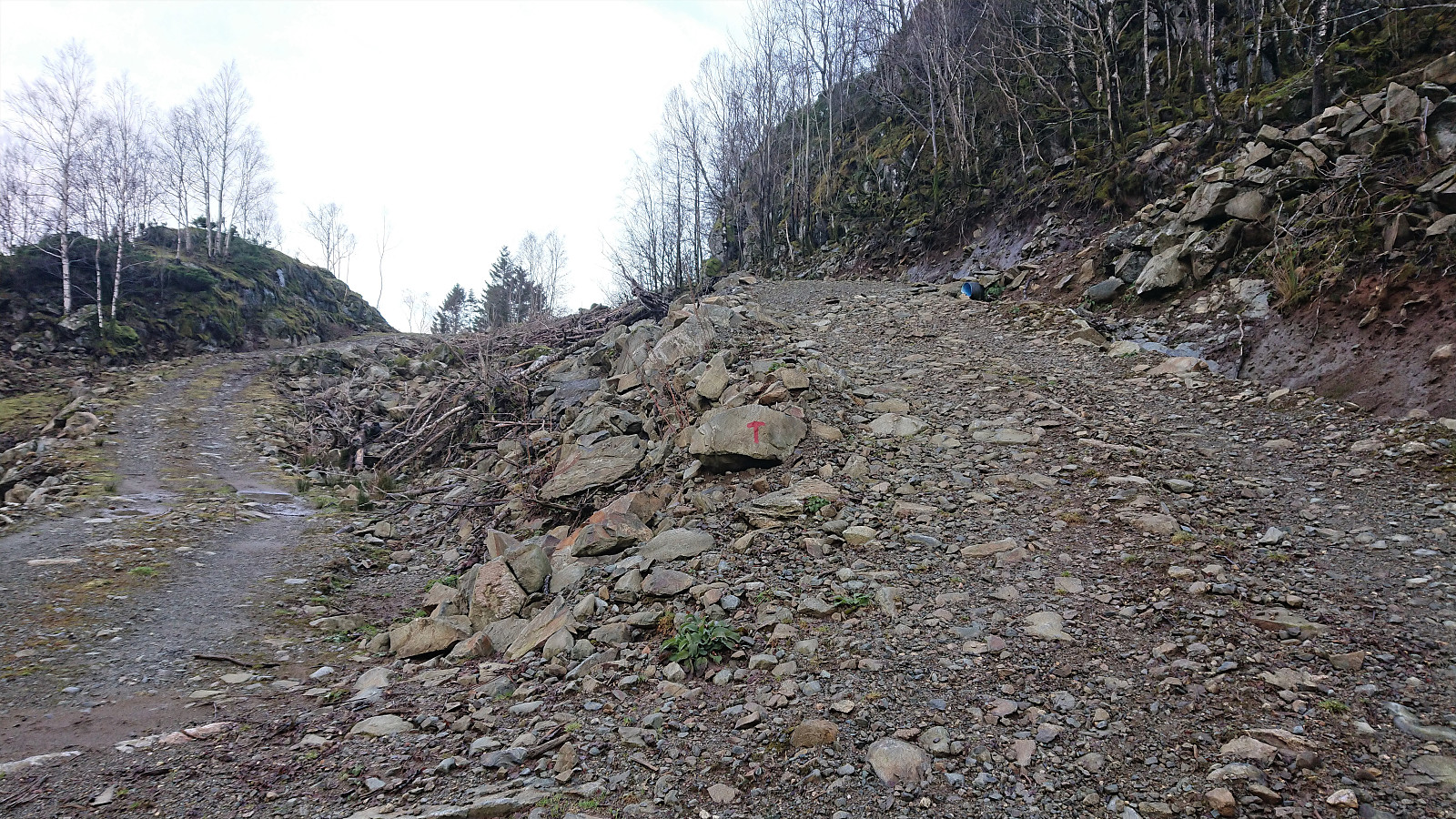
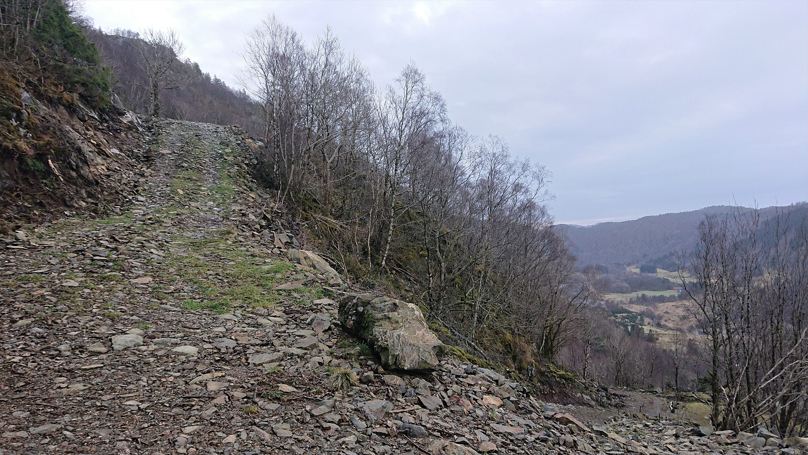
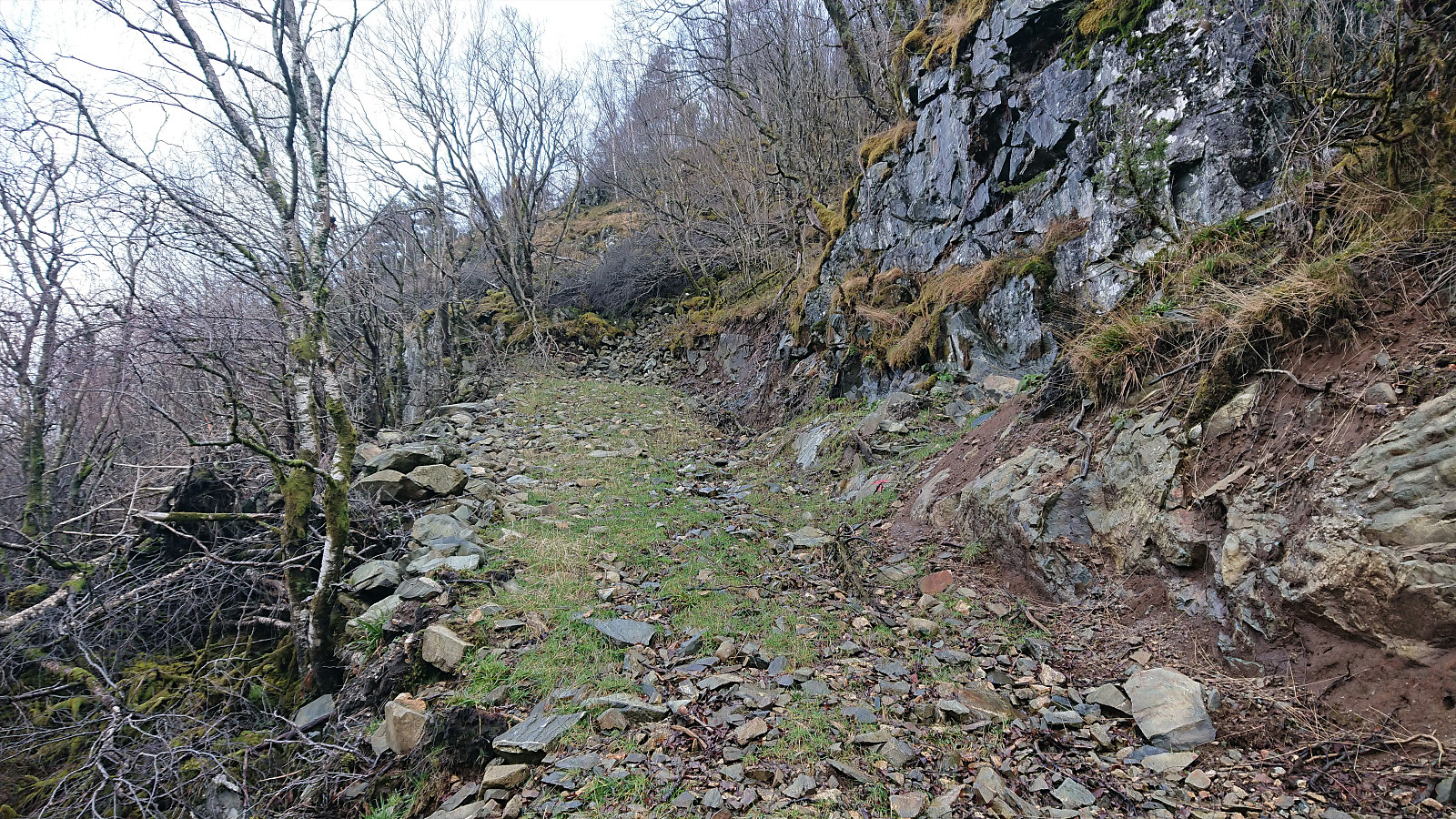
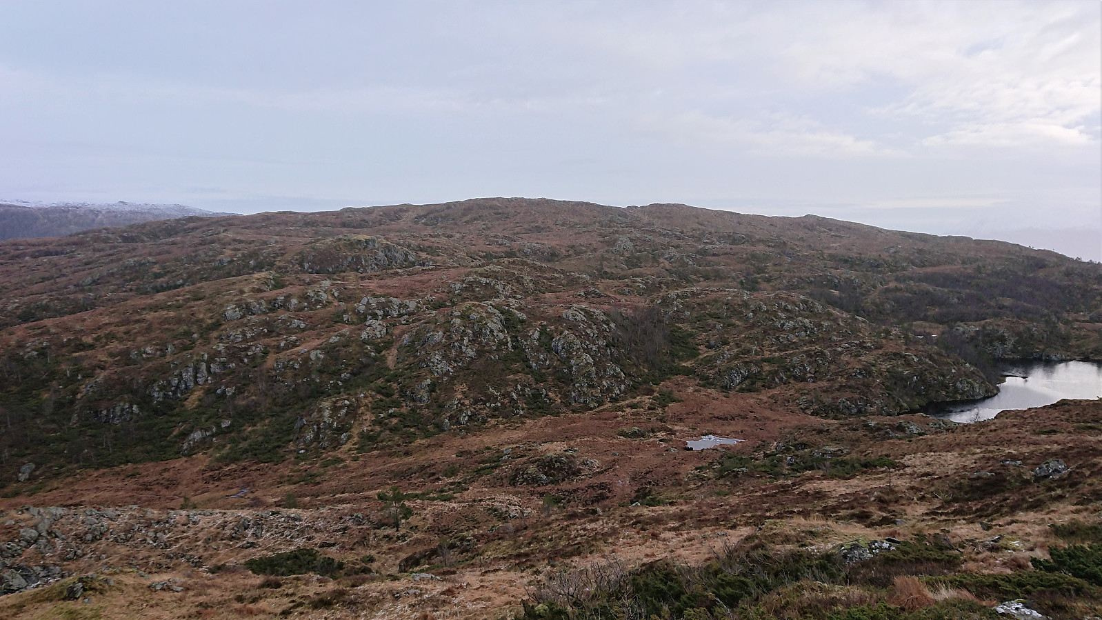
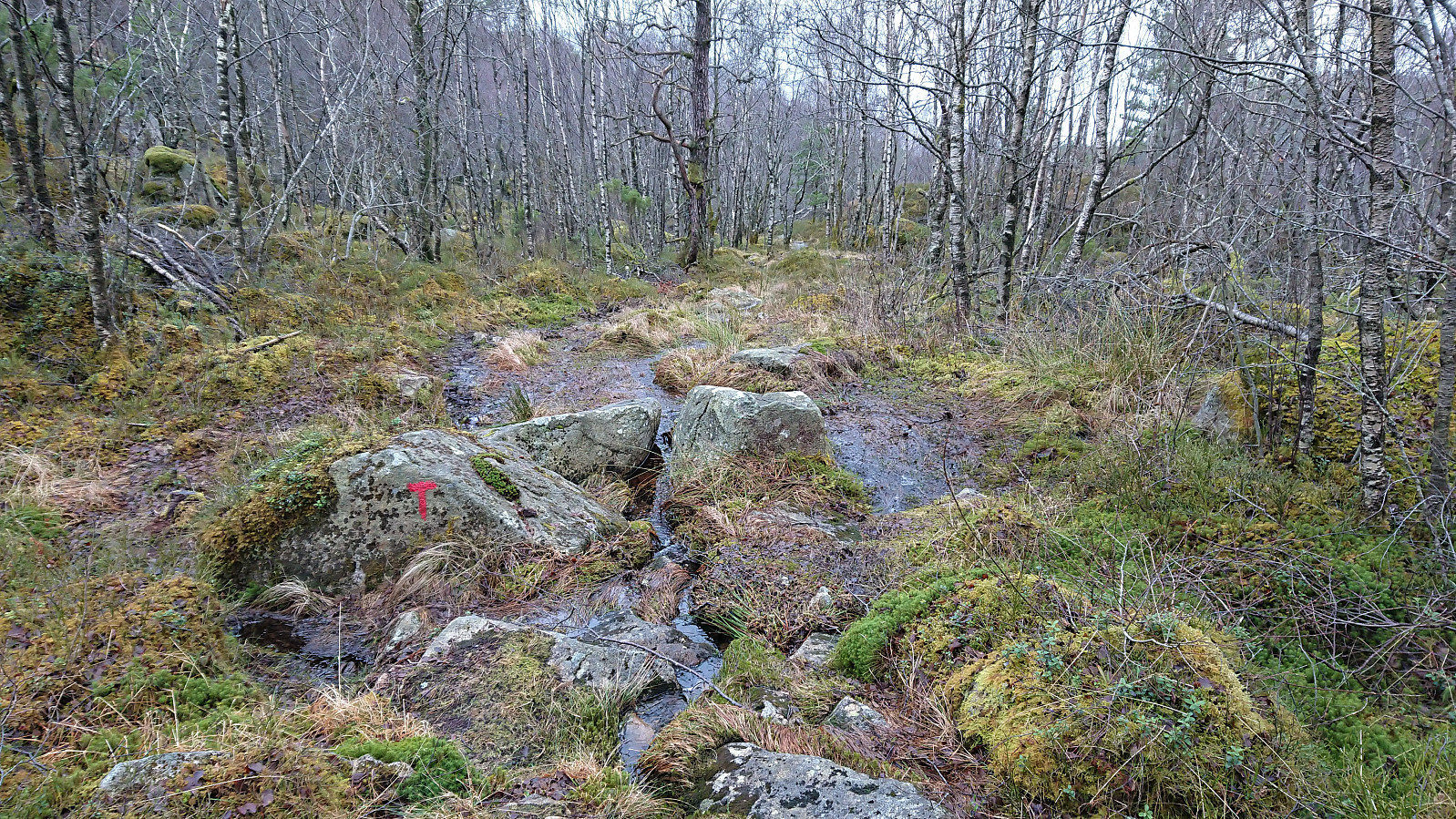
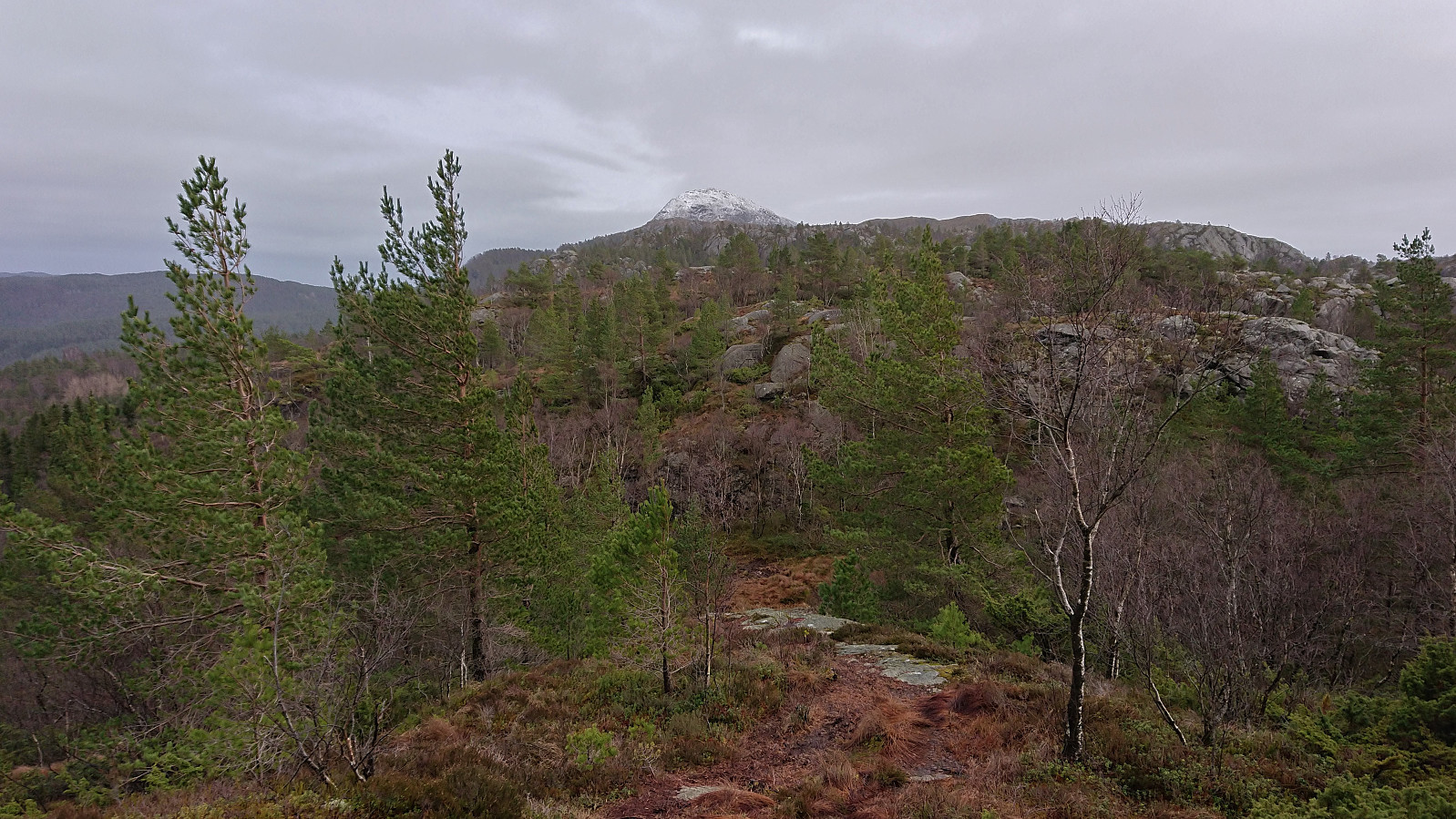
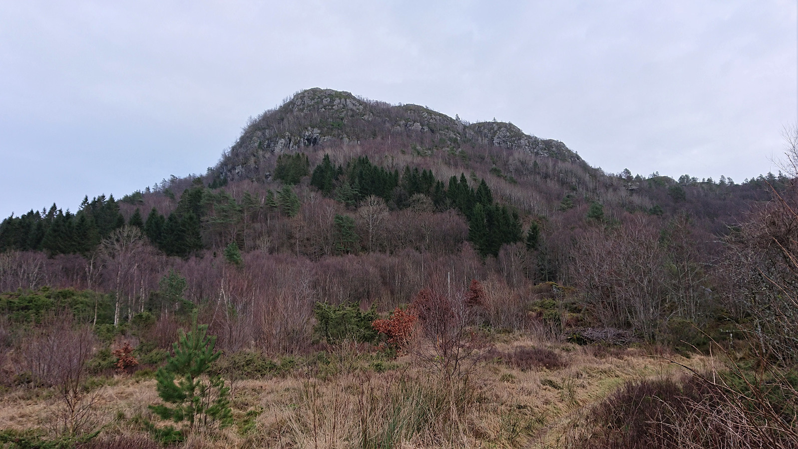
The tractor road actually continued further than expected, a couple of extra bends compared to what was indicated on the map, and soon red T's also started appearing. When the road finally came to an end, it was thus easy to follow the marked trail all the way to the summit of Uggdalsvarden. The trail started out a bit steep, and the first part is perhaps not well suited for winter conditions, but after that it was straightforward.
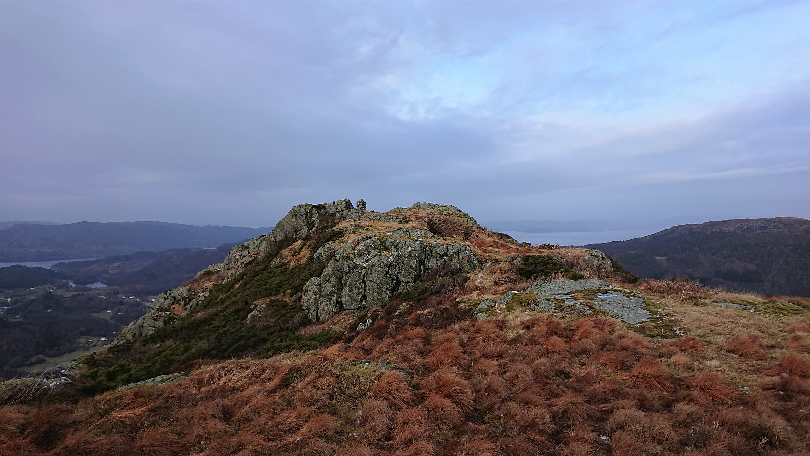
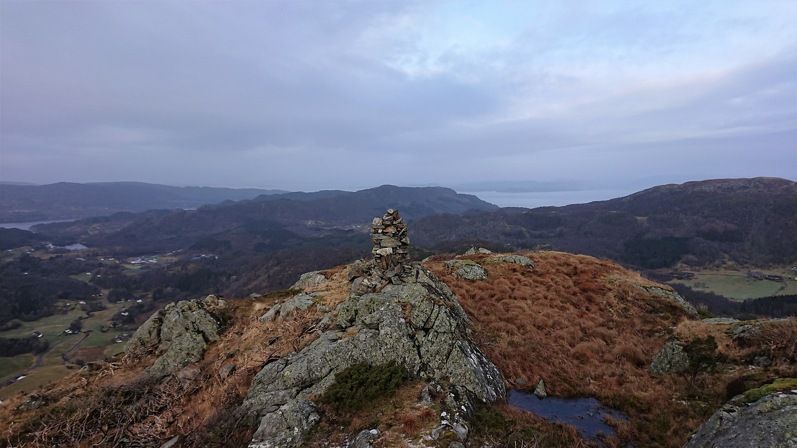
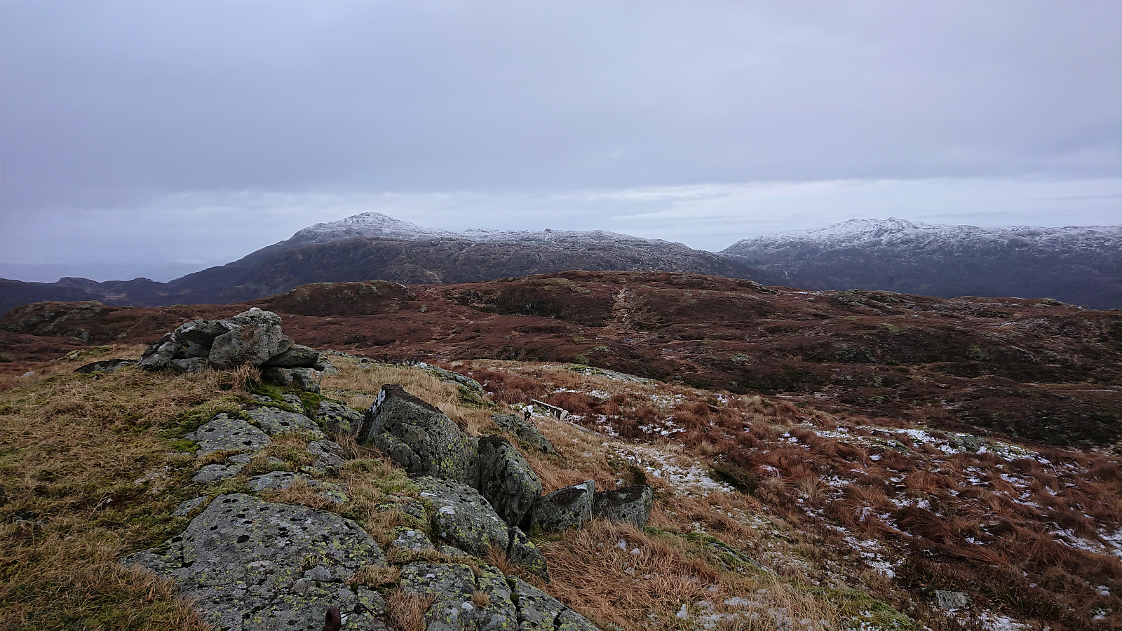
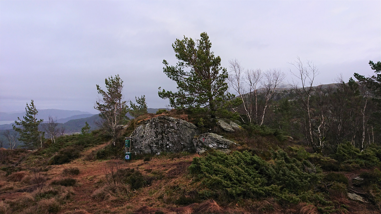
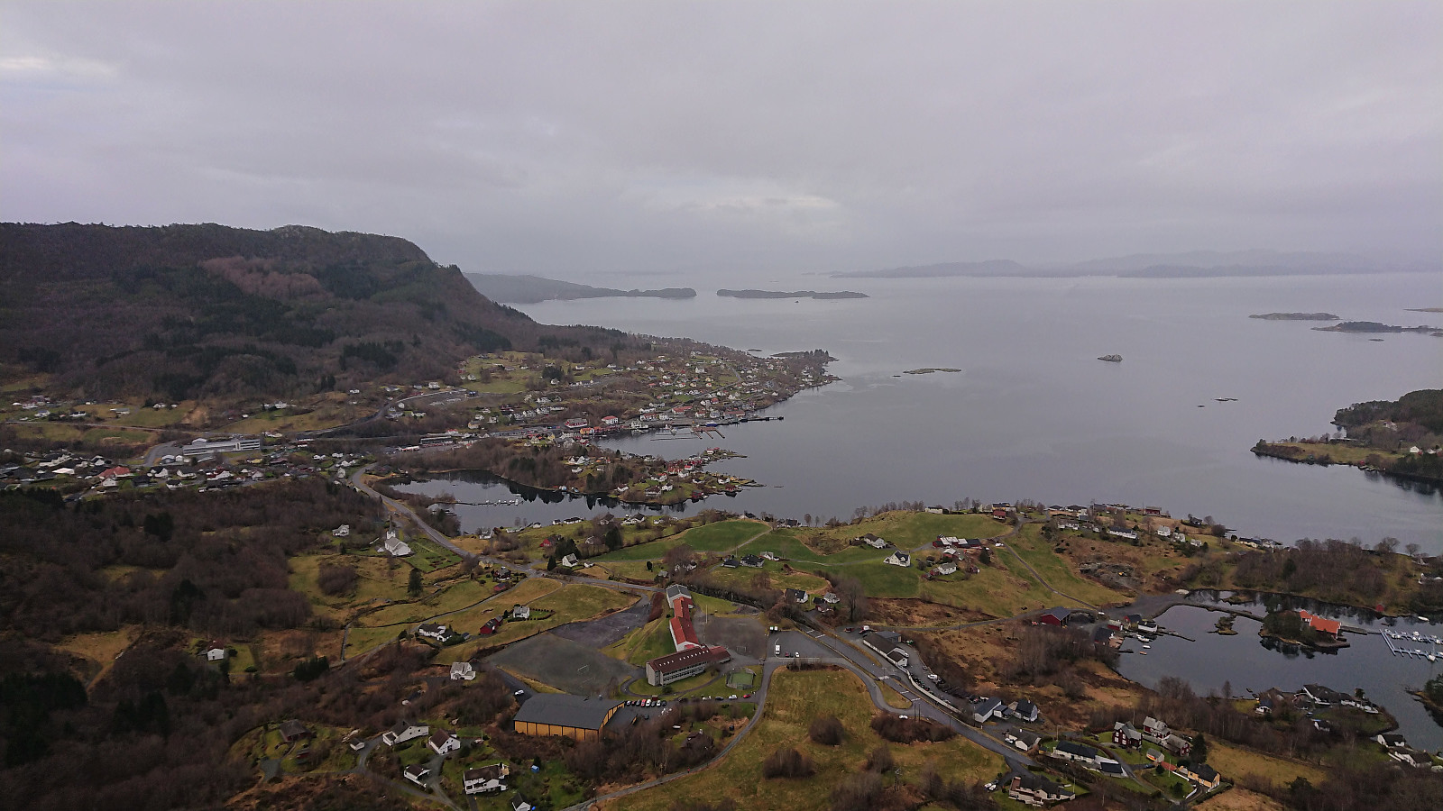
Uggdalsvarden provided excellent views, although today somewhat limited by the weather. I did not stay long before continuing towards my main goal to the east, i.e. Singelstadfjellet. Here I had to make my own way, trying to follow more or less a straight line, and quickly reached Singelstadfjellet without any problems. Nice views here as well, but the weather did not help here either.
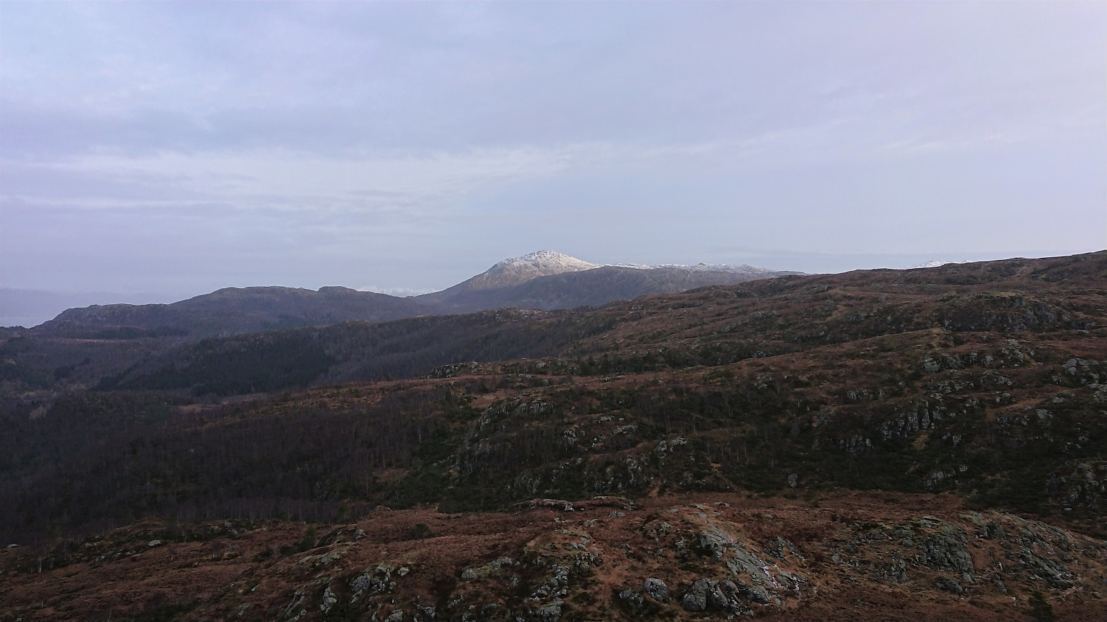
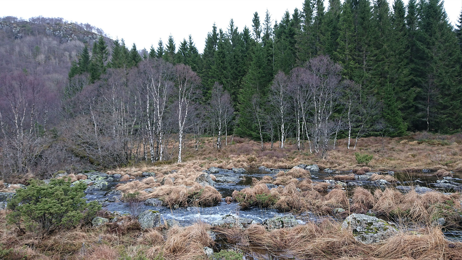
From the summit I passed north of Langedalsvatnet, before descending to Vestølen. The terrain required a couple of minor detours, but was otherwise ok. My plan was to connect with the trail south of Vestølen, to speed up the progress, but when the trail looked more like a small stream it did not make much of a difference.
The trail improved somewhat north of Vestølen, but disappeared completely when I rounded Ljosvatnet on the west and north. Thankfully Tverrelva could still be easily crossed, and shortly I was on the trail from Gjerstadstølen to Våge. Though it did not make that much of a difference, as this marked trail was also very wet.
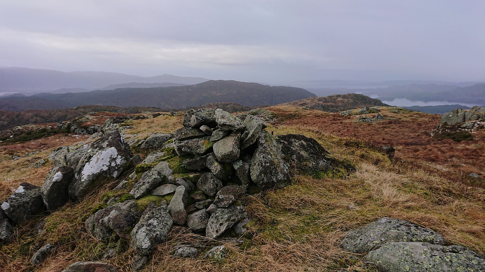
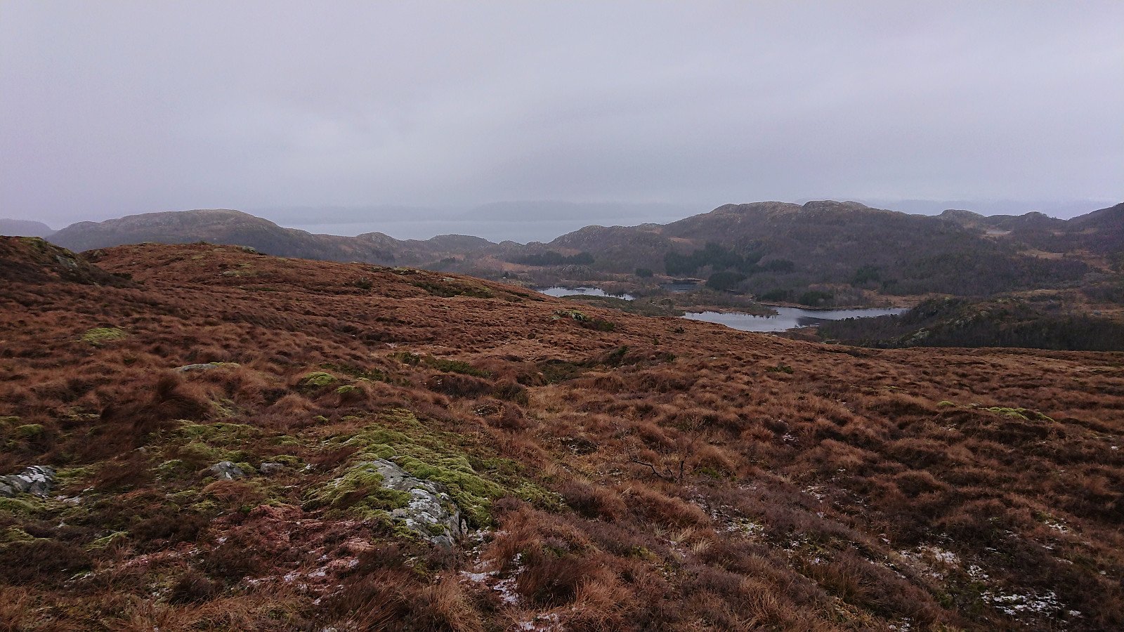
In order to make the descent more interesting, and given that I still had plenty of time for the ferry, I decided to make a short detour along a marked trail to Ramnanuten, being rewarded with excellent views towards Våge. The marked trail continued east from the summit, and soon connected with a tractor road. Roughly north of Ramnanuten, the marked trail left the tractor road and thereafter connected with the road at Amundsstølen, from where I followed a shortcut to the main road taking me back to Våge.
In summary, a nice hike that can be recommended. The marked trail from Uggdalsdalen to Uggdalsvarden, together with the views from both Uggdalsvarden and Ramnanuten, were the clear highlights. The overall wet trails, except for the trail up to Uggdalsvarden, leaves a lot to be desired though. But given the terrain, ascending Singelstadfjellet via Uggdalsvarden is probably a better option than going back and forth from Dalen.
| Start date | 19.01.2020 09:54 (UTC+01:00) |
| End date | 19.01.2020 15:34 (UTC+01:00) |
| Total Time | 5h 39min |
| Moving Time | 5h 19min |
| Stopped Time | 0h 19min |
| Overall Average | 3.7km/h |
| Moving Average | 4.0km/h |
| Distance | 21.1km |
| Vertical meters | 964m |


User comments