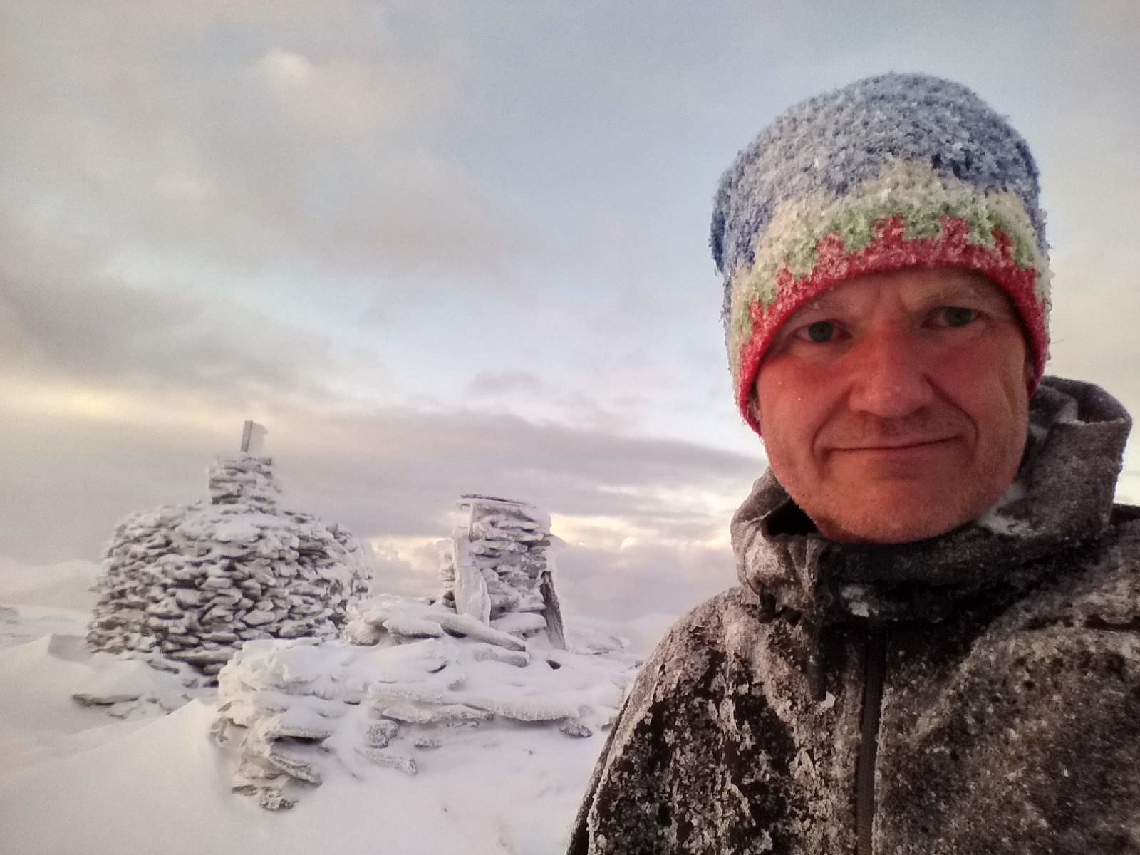
At the summit of Mount Tverrfjellet on the Sula Island. Behind me are the two largest cairns on this mountain.
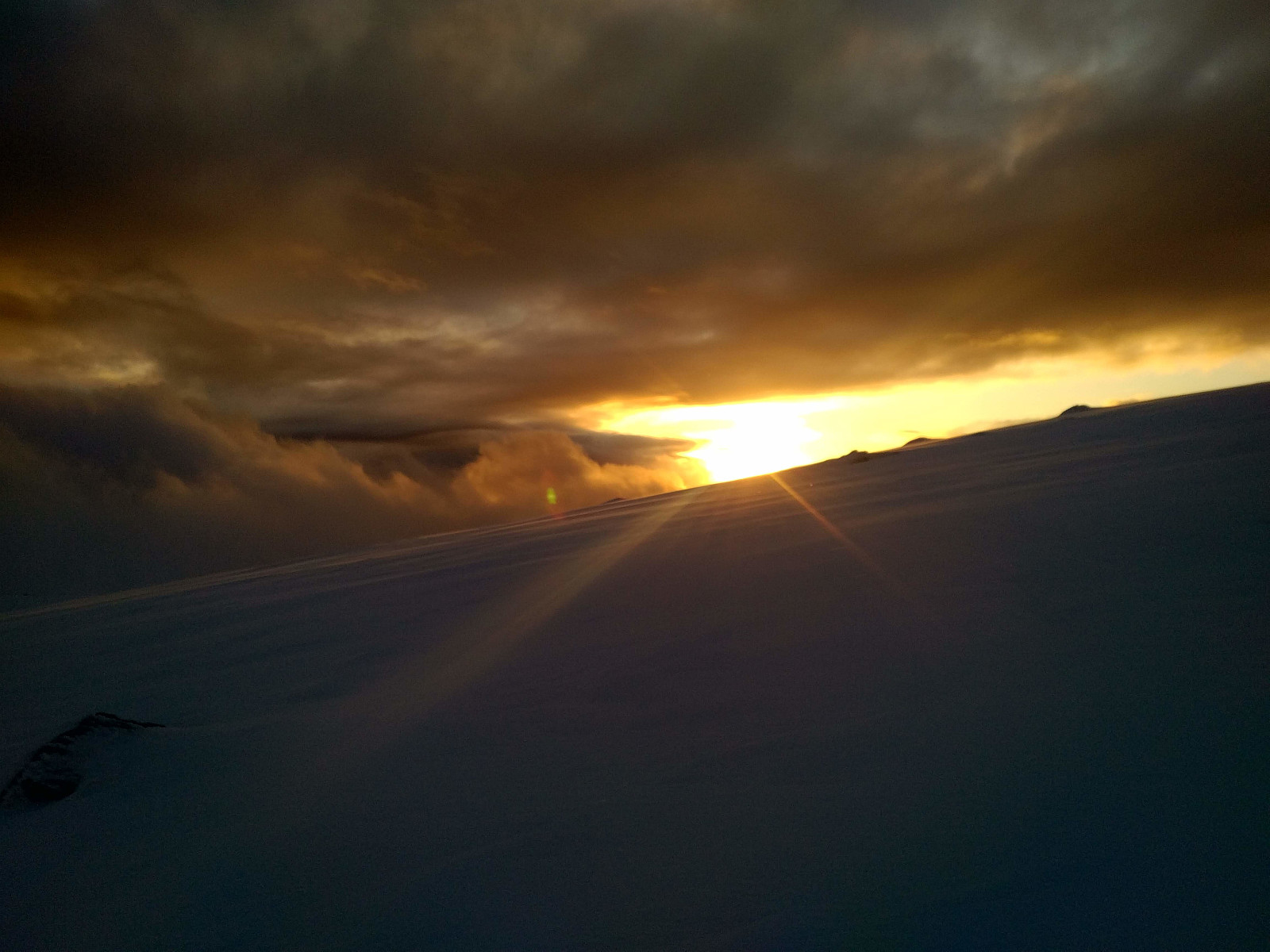
I went hiking on Mount Sulafjellet on the island of Sula with my oldest son this day. We started out from the parking spot at Mauseid, and followed the forest road up to a cabin called Rollonhytta (390 m.a.m.s.l.). At this cabin the forest road as well as the forest ends, but there is a narrow path or trail that you may usually follow further up the mountain, and so we did for a km or so. At that point, however we lost the path. There was a lot of snow in the mountain side on this day, hence much of the time we couldn't actually see the path. The trail is, however, marked by small cairns all along its course, and this had helped us until the snow became so deep that the cairns disappeared beneath them. We've been on this mountain many times before, however, so we just continued in somewhat the correct direction. As the mountain side flattens out towards the summit of the mountain, the cairns started appearing again, in part because they've built them a little bit higher up here, and in part because snow tends to blow away from these upper parts of the mountain. We reached the summit of what was originally called Tverrfjellet [i.e. The Transverse Mountain], but most people today call Vardane [i.e. The Cairns], due to the many cairns that have been built there. For our descent we by en large used the same track as we had done for the climb, following our own deep footprints back to Rollonhytta Cabin, and then the forest road back down to our car.
Benutzerkommentare
Kommentartitel:
Zeichen: 1000
Kommentartext:
Du musst angemeldet sein, um Kommentare schreiben zu können.


Benutzerkommentare