
Stølafjellet and Ilefjellet from Våge (26.12.2019)

Written by hbar (Harald Barsnes)

| Start point | Våge kai (1m) |
|---|---|
| Endpoint | Våge kai (2m) |
| Characteristic | Hillwalk |
| Duration | 5h 07min |
| Distance | 21.9km |
| Vertical meters | 1,074m |
| GPS |
|
| Ascents | Ilefjellet (452m) | 26.12.2019 |
|---|---|---|
| Stølefjellet (457m) | 26.12.2019 | |
| Visits of other PBEs | Buldo (308m) | 26.12.2019 |
| Dalen p-plass (160m) | 26.12.2019 | |
| Ilefjellet turbok-kasse (442m) | 26.12.2019 | |
| Varden på Stølefjellet (450m) | 26.12.2019 |
Stølafjellet and Ilefjellet from Våge
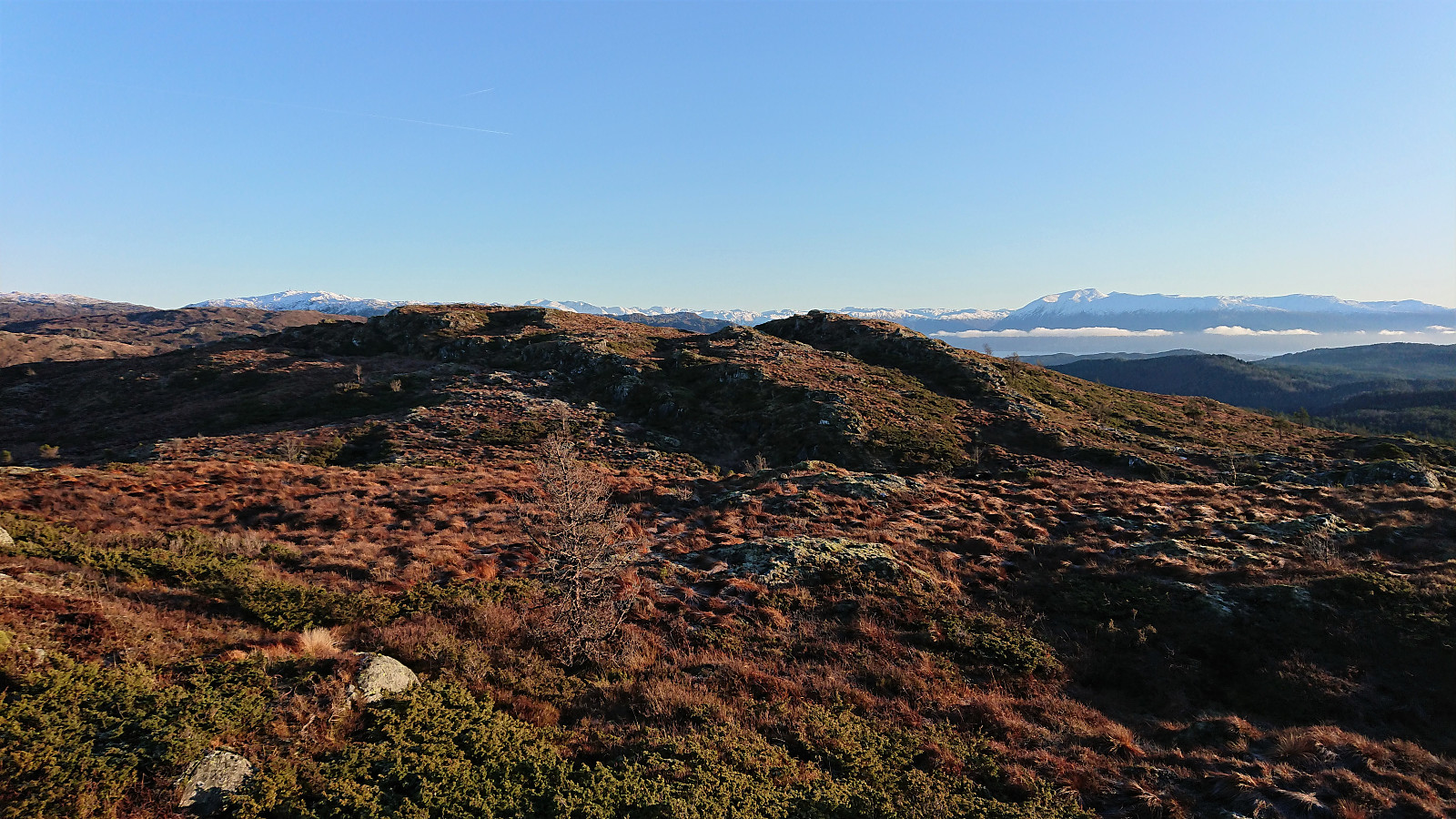
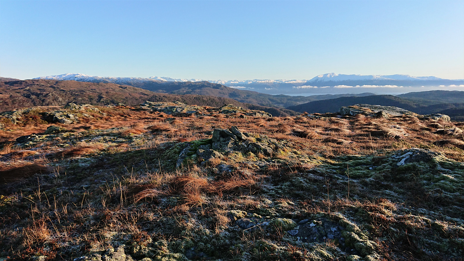
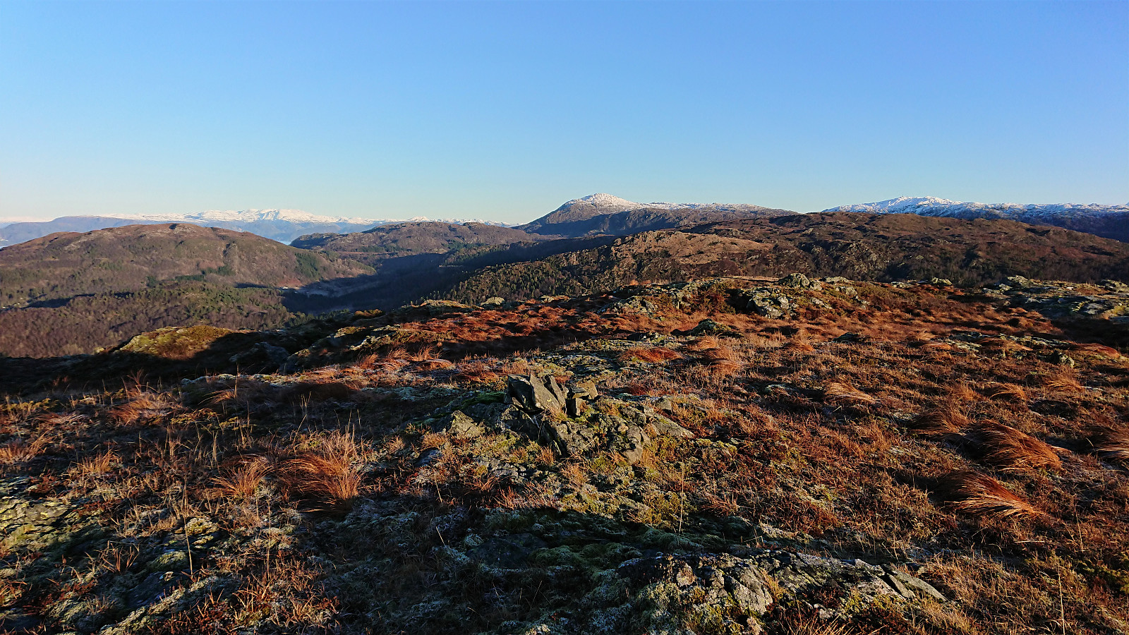
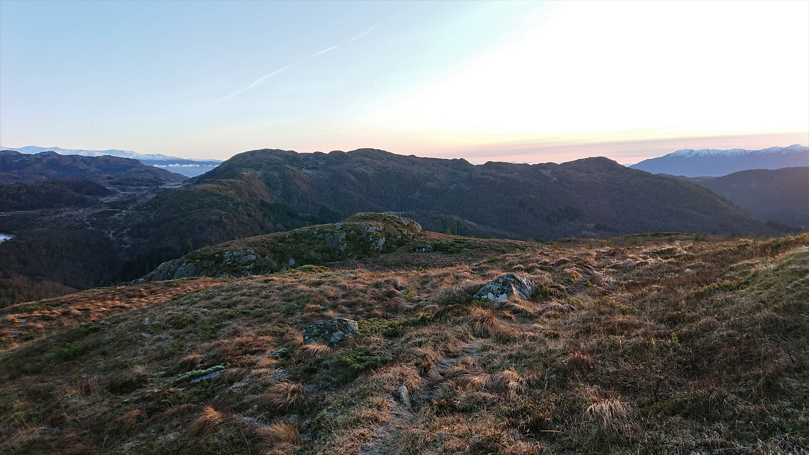
Stølafjellet
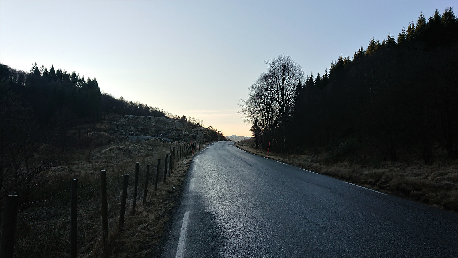
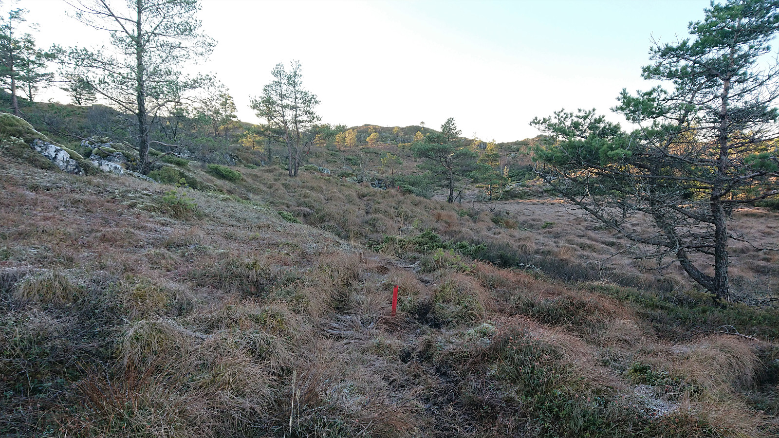
I started by taking the bus to Halhjem and the ferry to Våge. From Våge I followed the main road south to Reisa, taking a shortcut next to the school/football field to more quickly get to the main road in Uggdalsdalen, and then the shortest route up to the trailhead for Stølafjellet. The latter pretty much led me through someone's backyard. It is better to take the only slightly longer route to the west in order to avoid feeling like a trespasser.
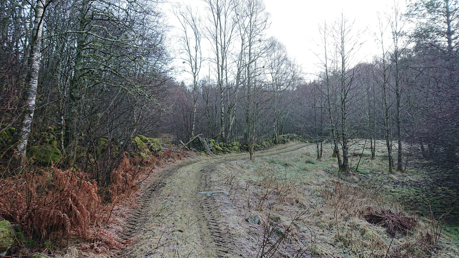
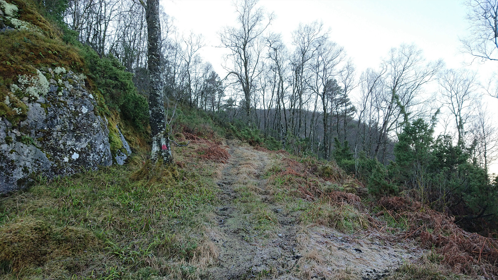
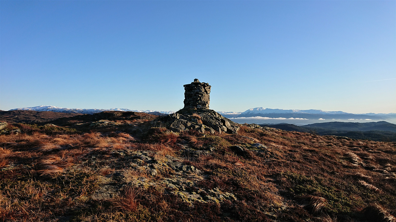
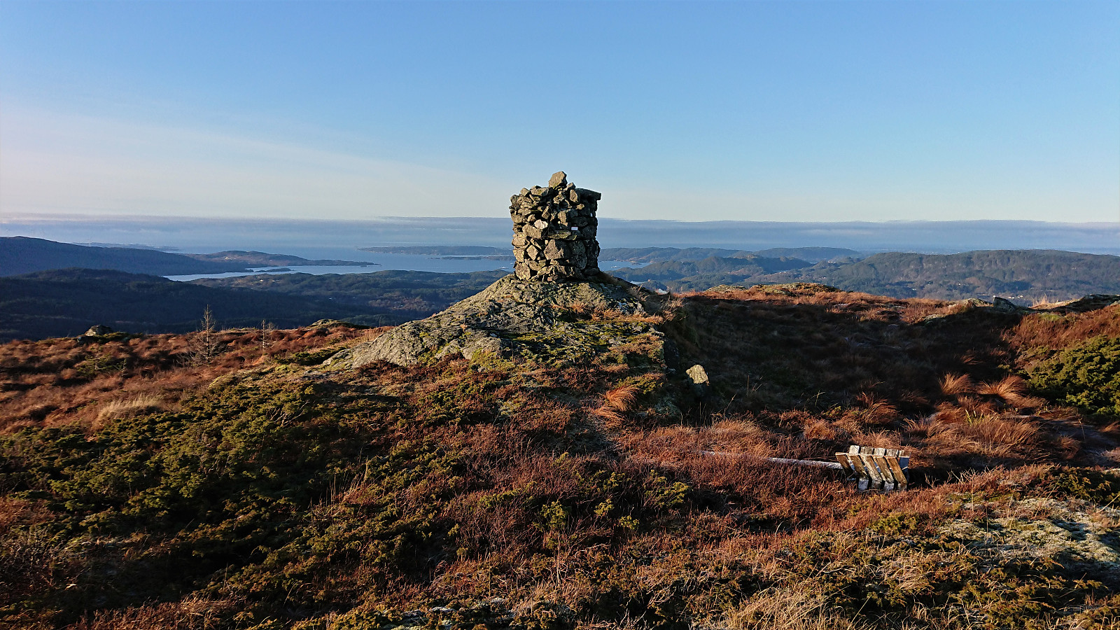
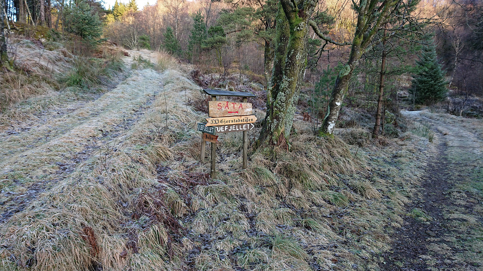
The trailhead was unmarked, but the tractor road, and later trail, was marked with red paint. I followed the tractor road until it came to an end at a viewpoint with a bench, and from there followed the marked trail all the way to the cairn. The red markings pretty much disappeared towards the end, but by then the large cairn could be spotted anyway.
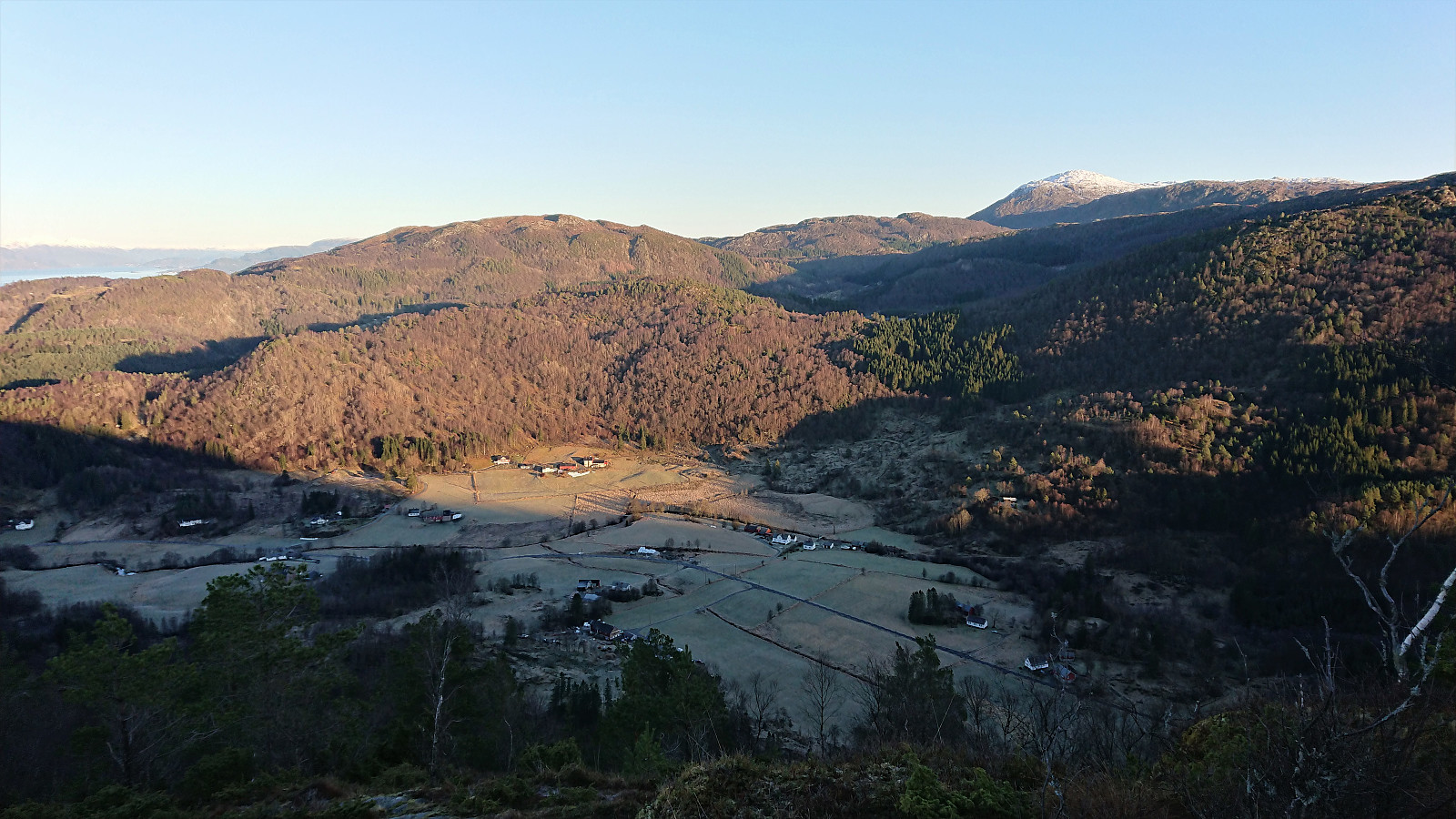
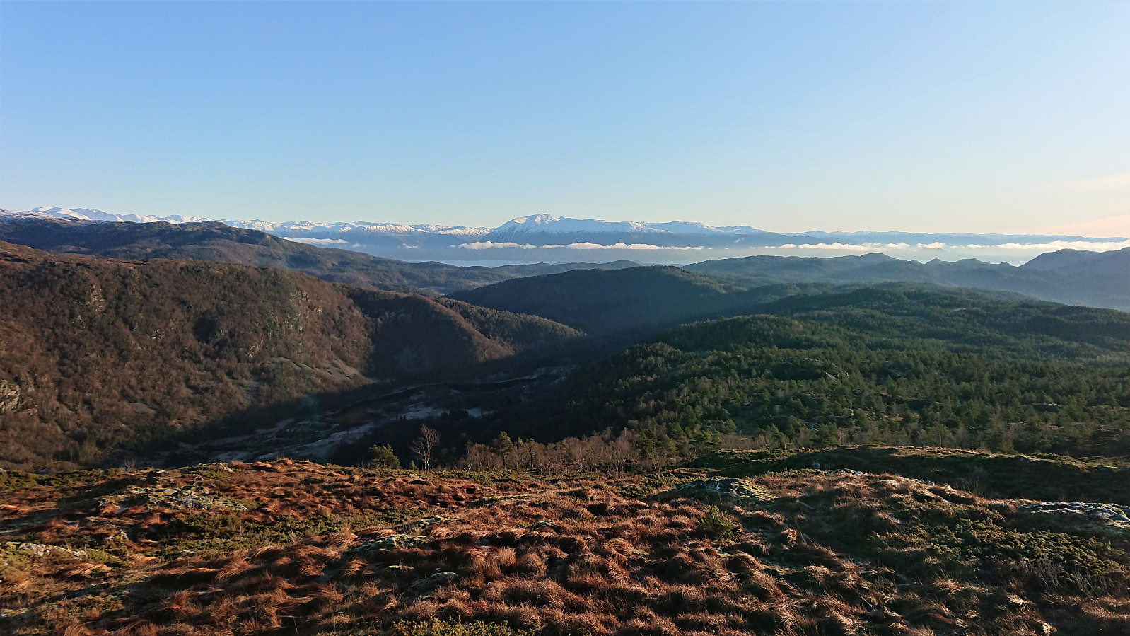
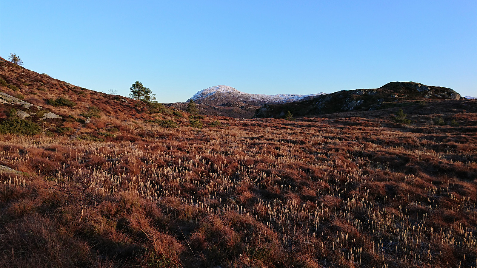
After signing the visitor register at the cairn, and enjoying the excellent views, I headed 200-300 meters to the east to make sure to also visit the highest point. From the summit I made my own way north to reconnect with the marked trail, which I then followed back down to the road, going for the western non-trespassing option this time.
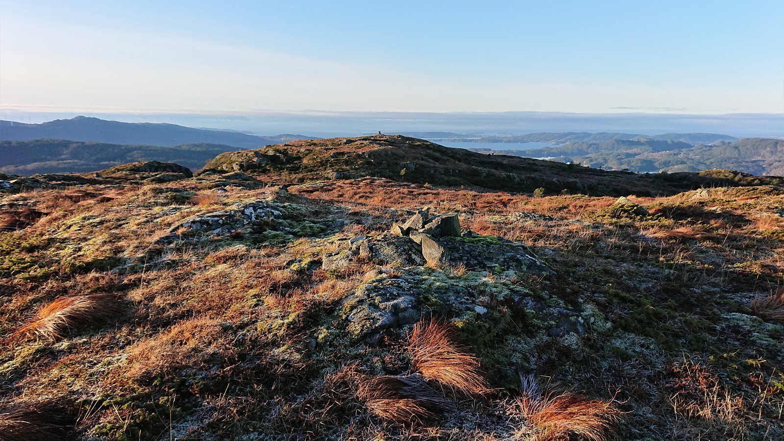
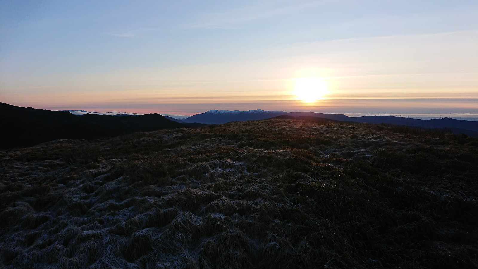
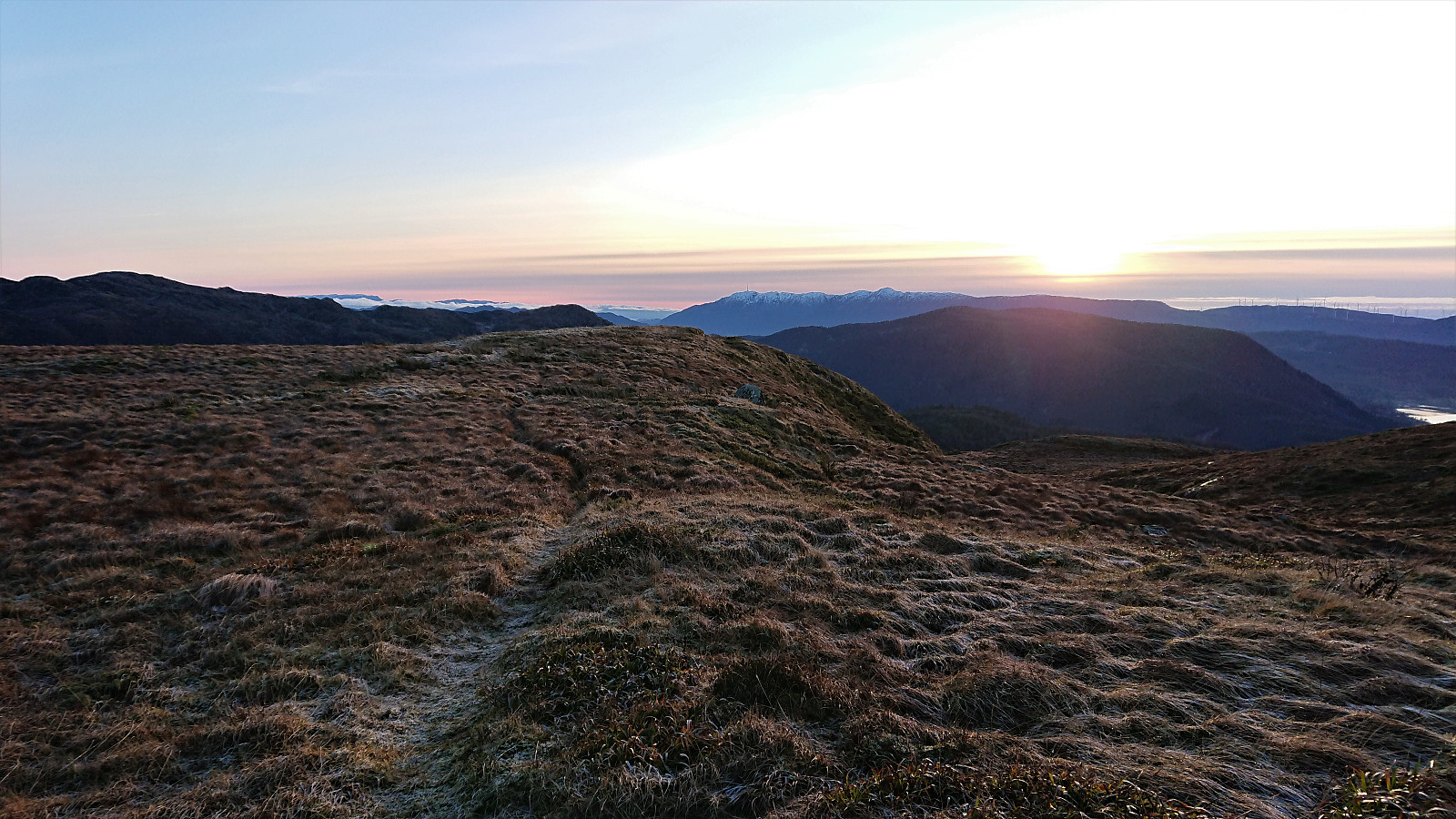
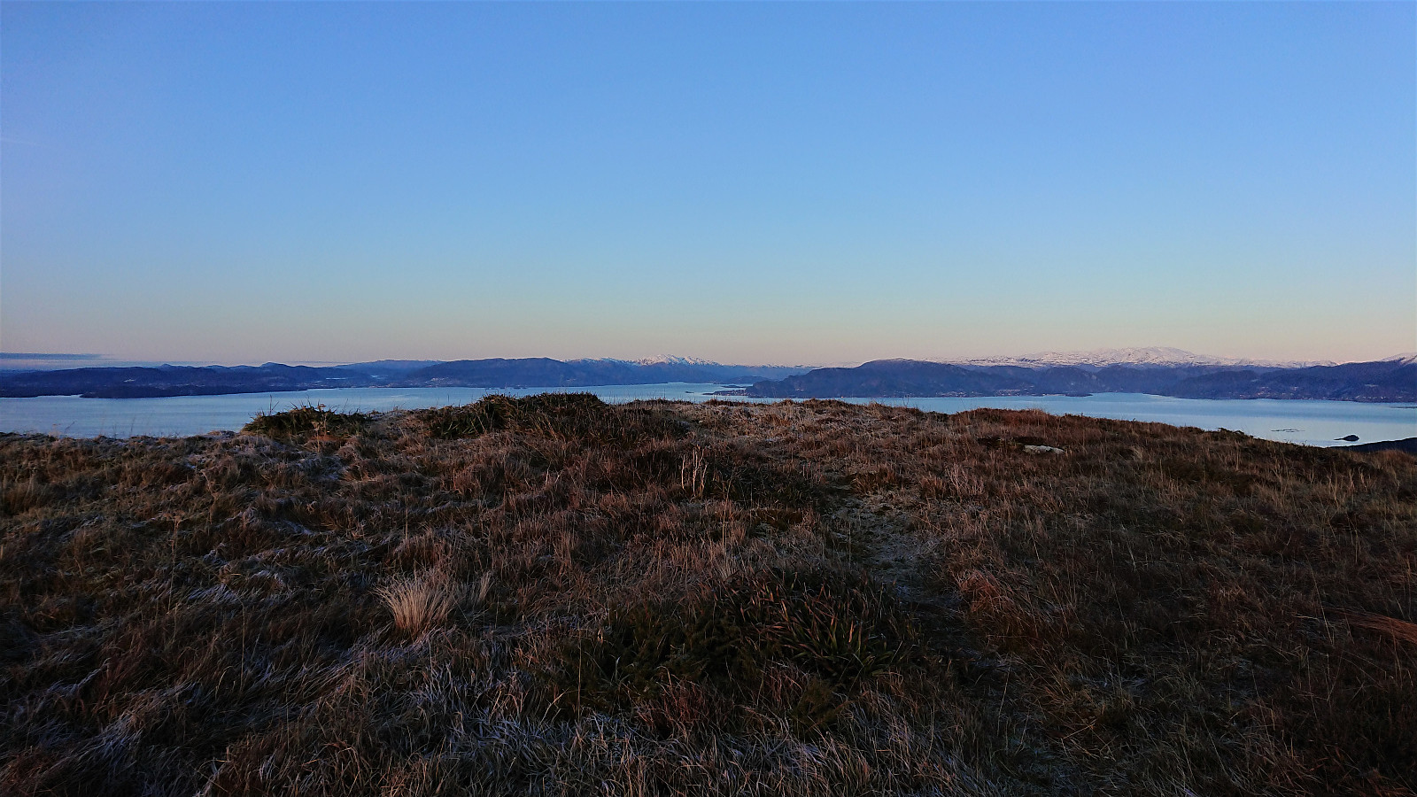
Ilefjellet
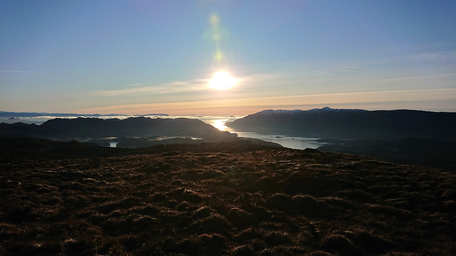
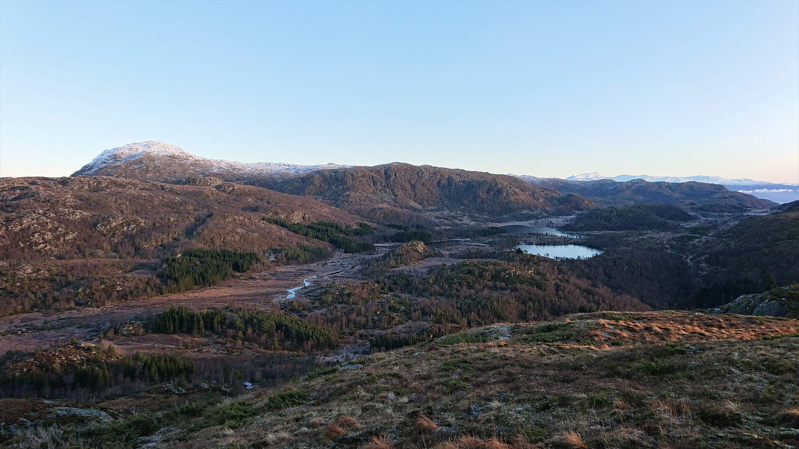
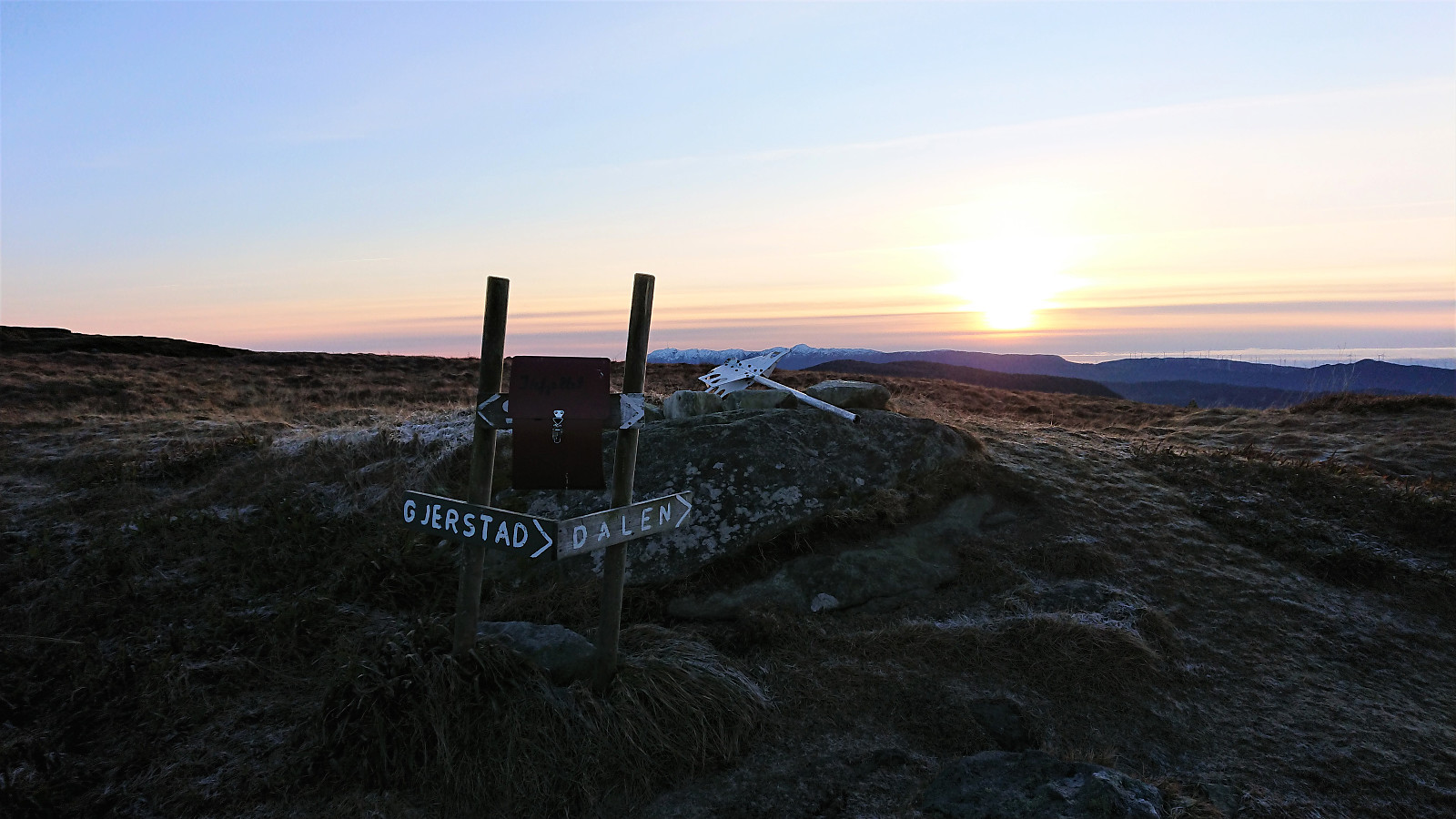
Next, I followed Dalsvegen east to Dalen, where as expected my overly ambitious plan of also getting the time to include a visit of Singelstadfjellet had to be abandoned, as I would not have had the time to make it back to Våge in time for the ferry. As a substitute I decided to include a revisit of Ilefjellet instead, hoping I would be rewarded by some nice views along the way. And by following the trail via Buldo, I was not disappointed. The hike was then concluded by following the marked trail north to Våge.
Conclusion
In summary, although I did not get the time for the planned visit to Singelstadfjellet, this was still a great hike that can be highly recommended. Marked trails and excellent views all around. The initial long walk along the road was not the most interesting though, and can perhaps be replaced by better options.

| Start date | 26.12.2019 10:46 (UTC+01:00) |
| End date | 26.12.2019 15:53 (UTC+01:00) |
| Total Time | 5h 07min |
| Moving Time | 4h 52min |
| Stopped Time | 0h 14min |
| Overall Average | 4.3km/h |
| Moving Average | 4.5km/h |
| Distance | 21.9km |
| Vertical meters | 1,074m |


User comments