
Tysnessåta from Våge (22.12.2019)

Written by hbar (Harald Barsnes)

| Start point | Våge kai (1m) |
|---|---|
| Endpoint | Våge kai (1m) |
| Characteristic | Hillwalk |
| Duration | 4h 55min |
| Distance | 17.4km |
| Vertical meters | 989m |
| GPS |
|
| Ascents | Høyde ved Gjerstadstølen (333m) | 22.12.2019 |
|---|---|---|
| Tysnessåta (752m) | 22.12.2019 | |
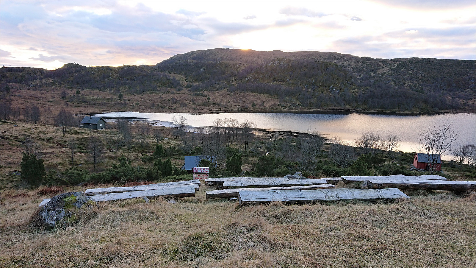
| Visits of other PBEs | Gjerstadstølen (315m) | 22.12.2019 |
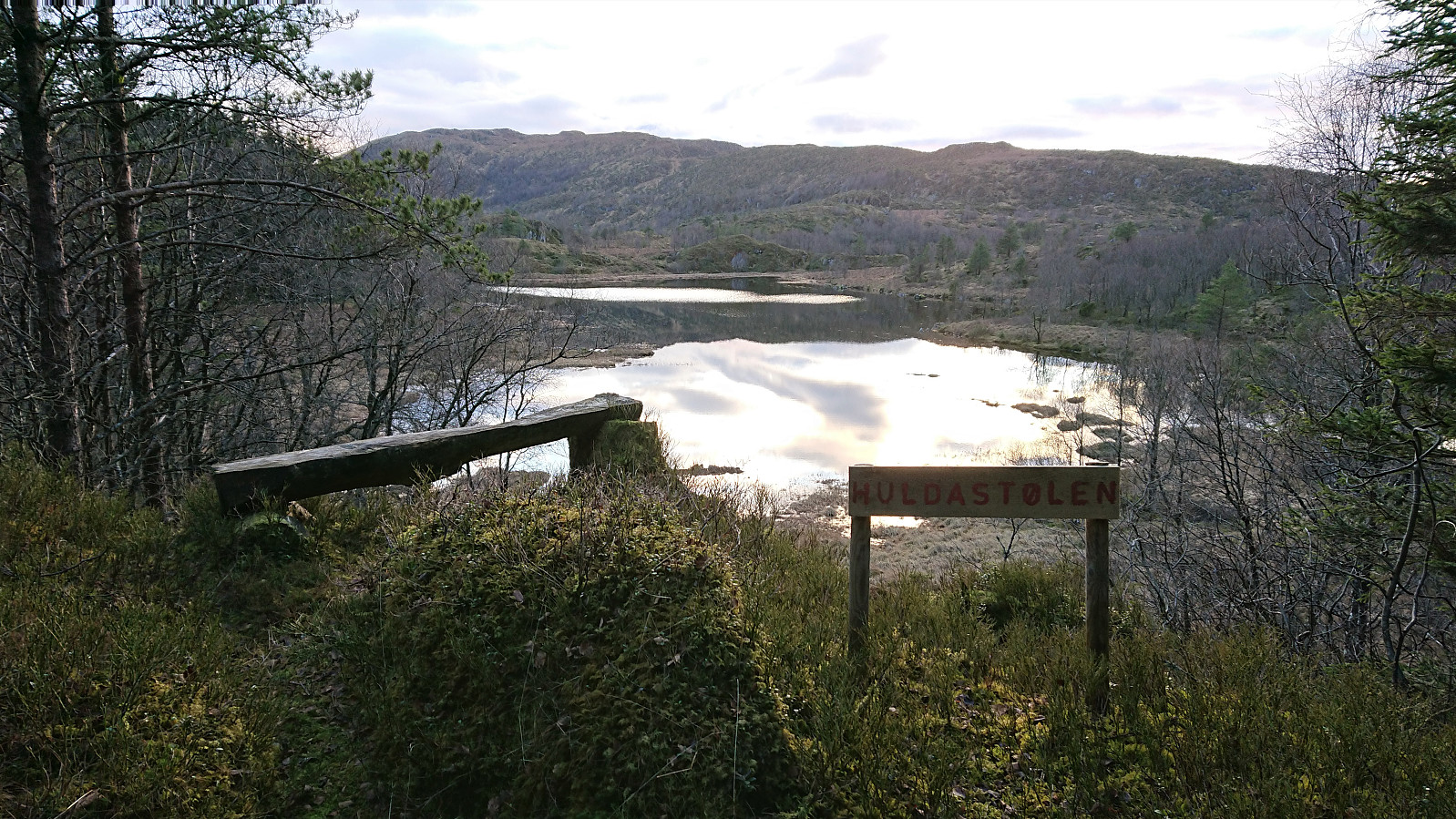
| Huldastølen (323m) | 22.12.2019 | |
| Huldastølen utsiktspunkt (309m) | 22.12.2019 |
Tysnessåta from Våge
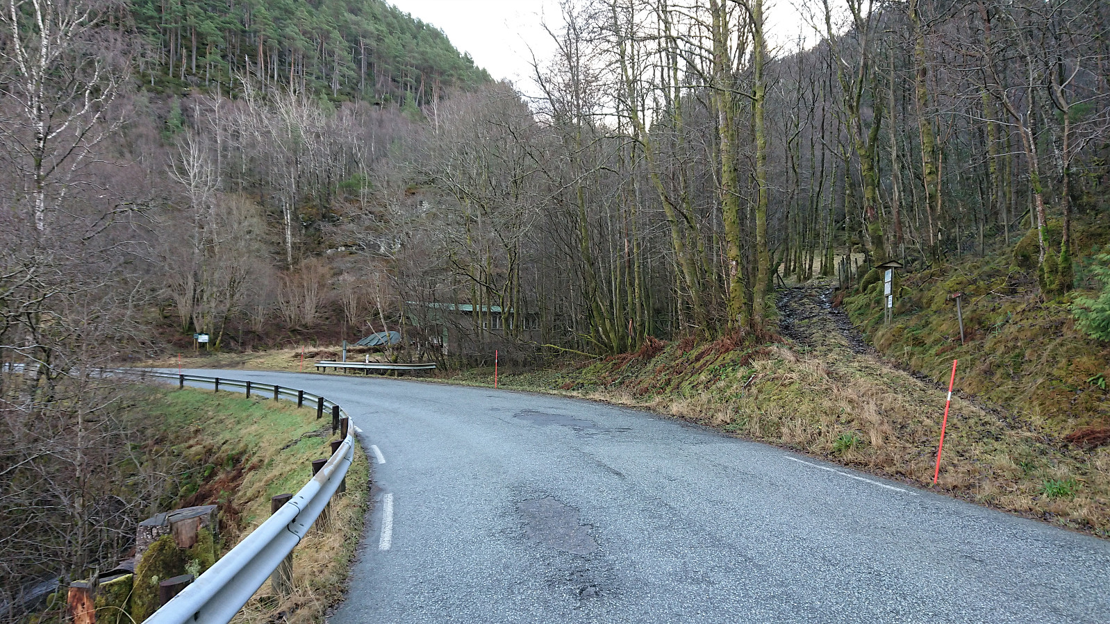
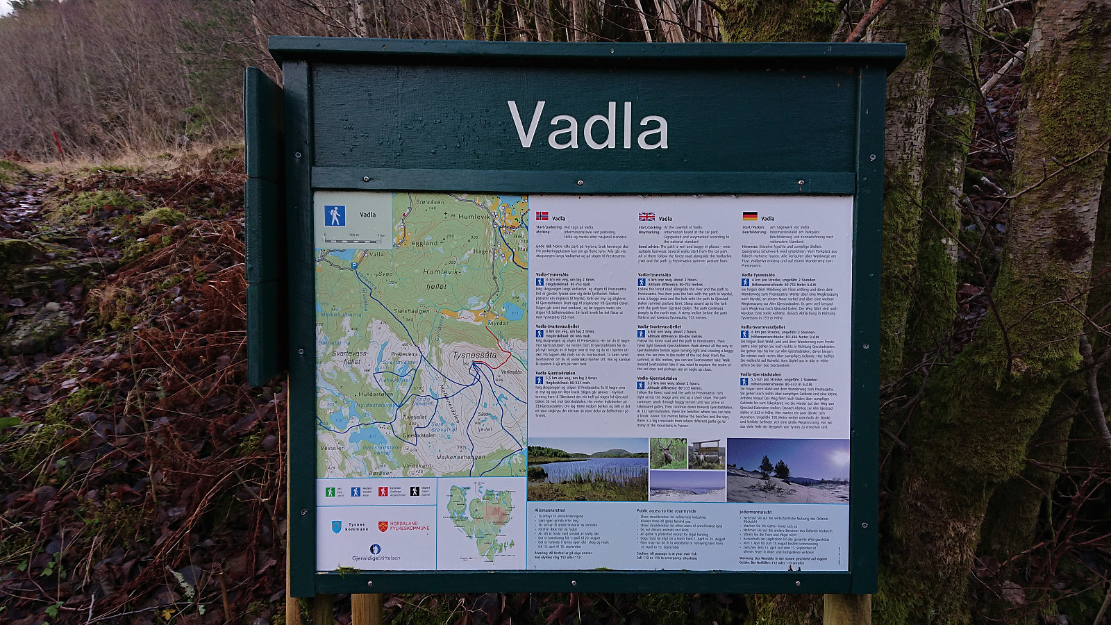

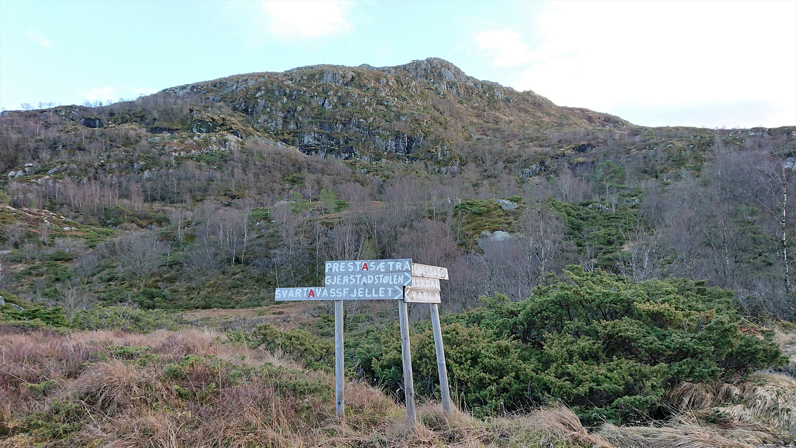
After first taking the bus to Halhjem and the ferry to Våge, I continued on foot along the road to Valla (or Vadla as the locals call it). Upon arriving at Valla, I was surprised to come across two sets of trailhead markers, as I had not been able to find any indications of this when researching this potential route to Tysnessåta.
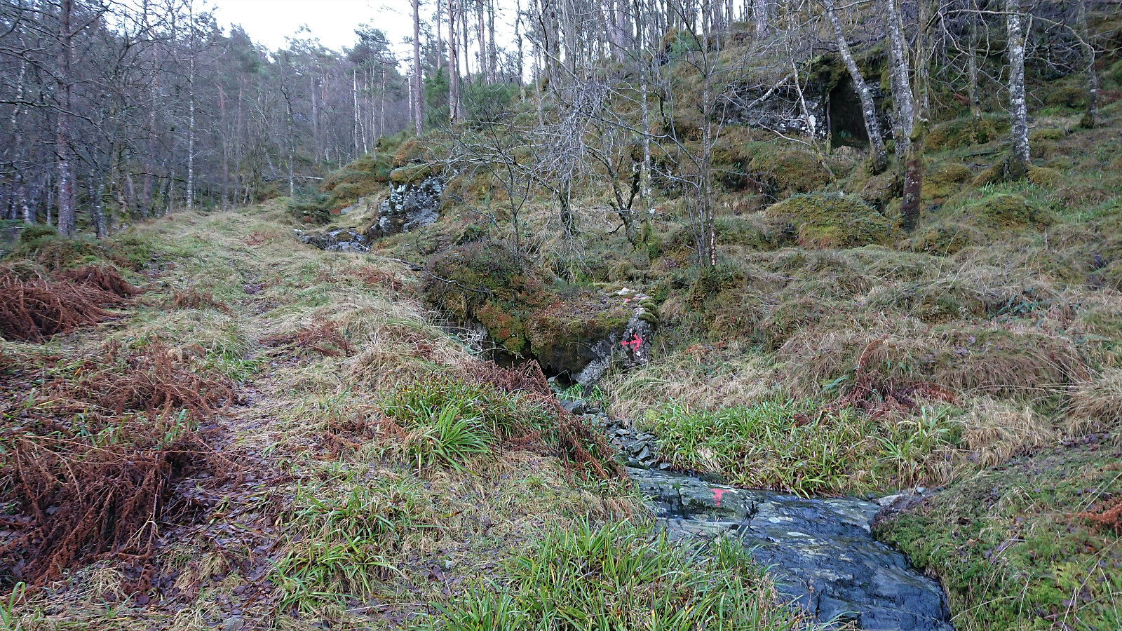
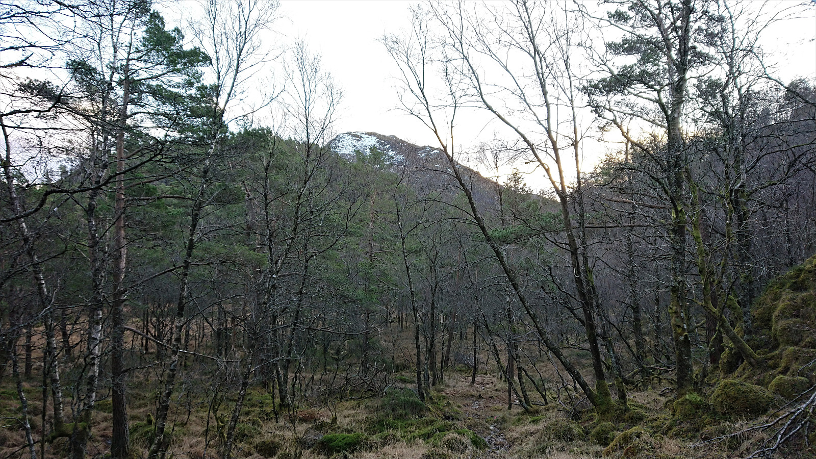
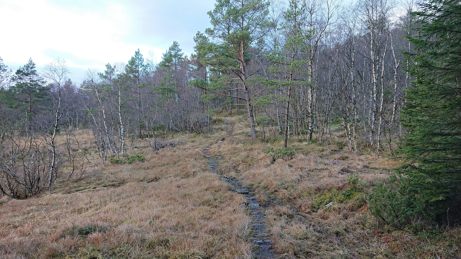
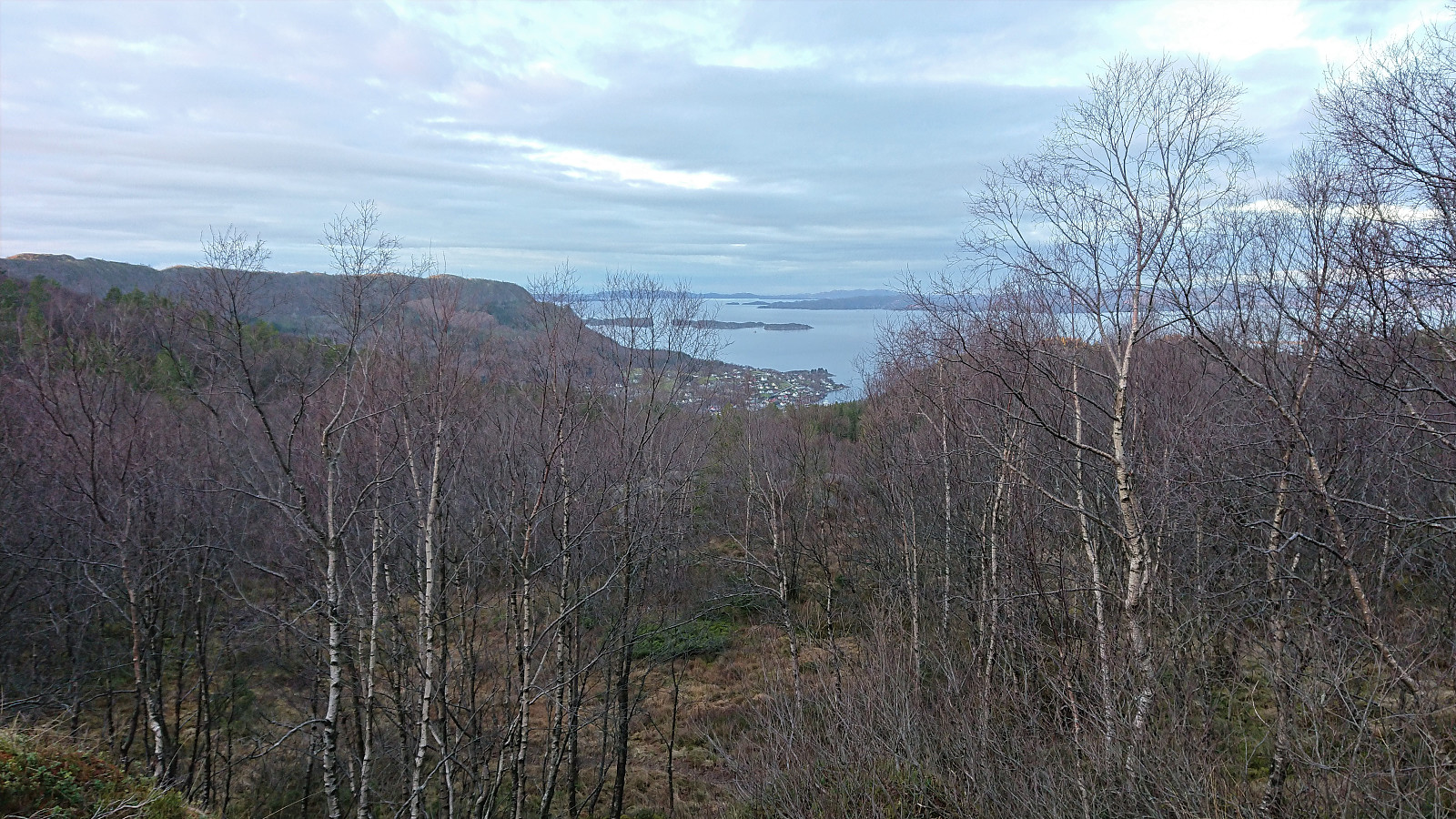
I decided to go for the newest trailhead (which most likely connects with the old trail later on anyway) and started up a marked tractor road which I soon left for a trail marked with red T's. The start of the trail was relatively steep, but at around 300 meters it flattened out quite a lot, and from there on the ascent was pretty easy. Here I also got the first glimpses of Tysnessåta through the trees.
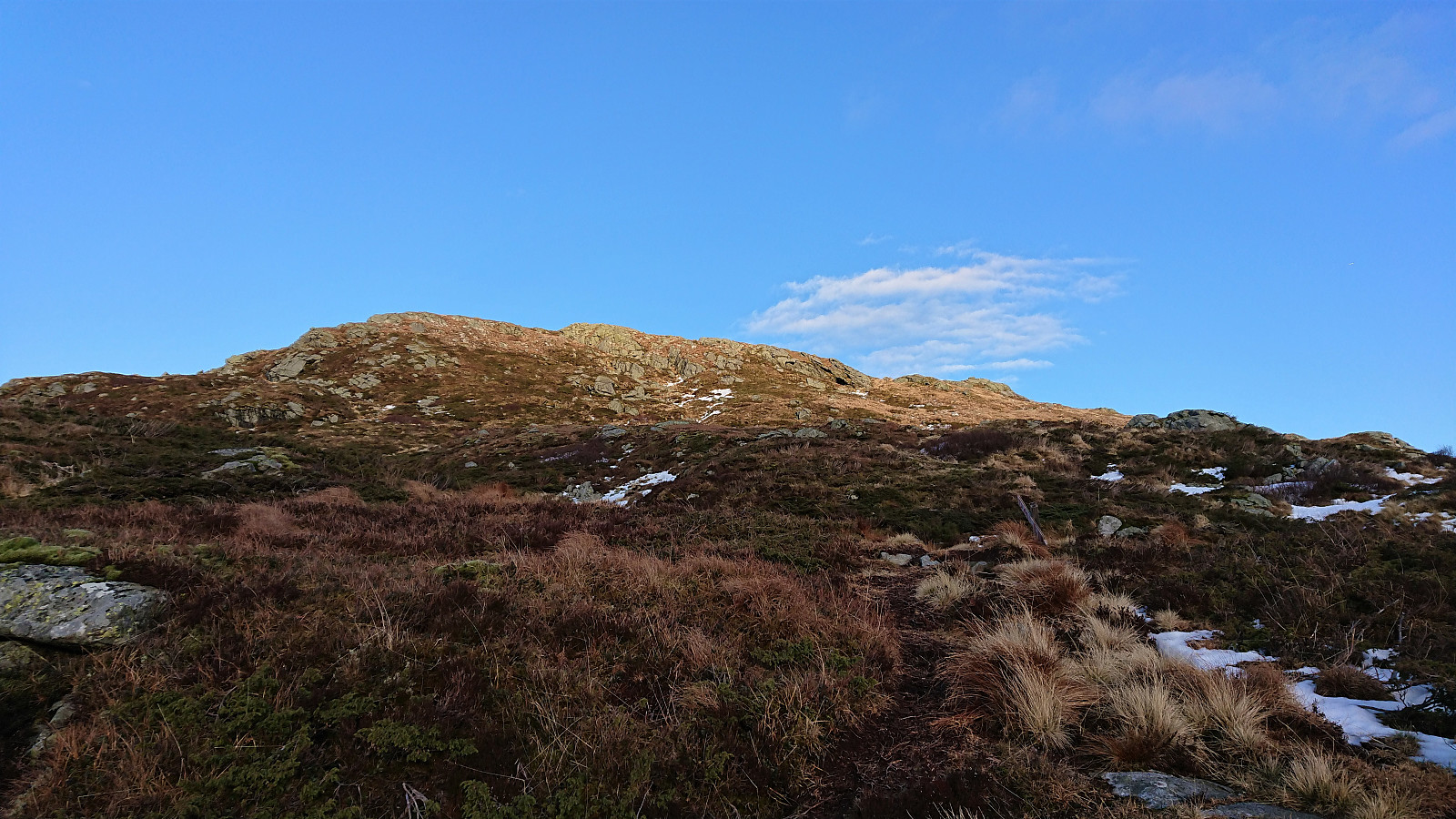
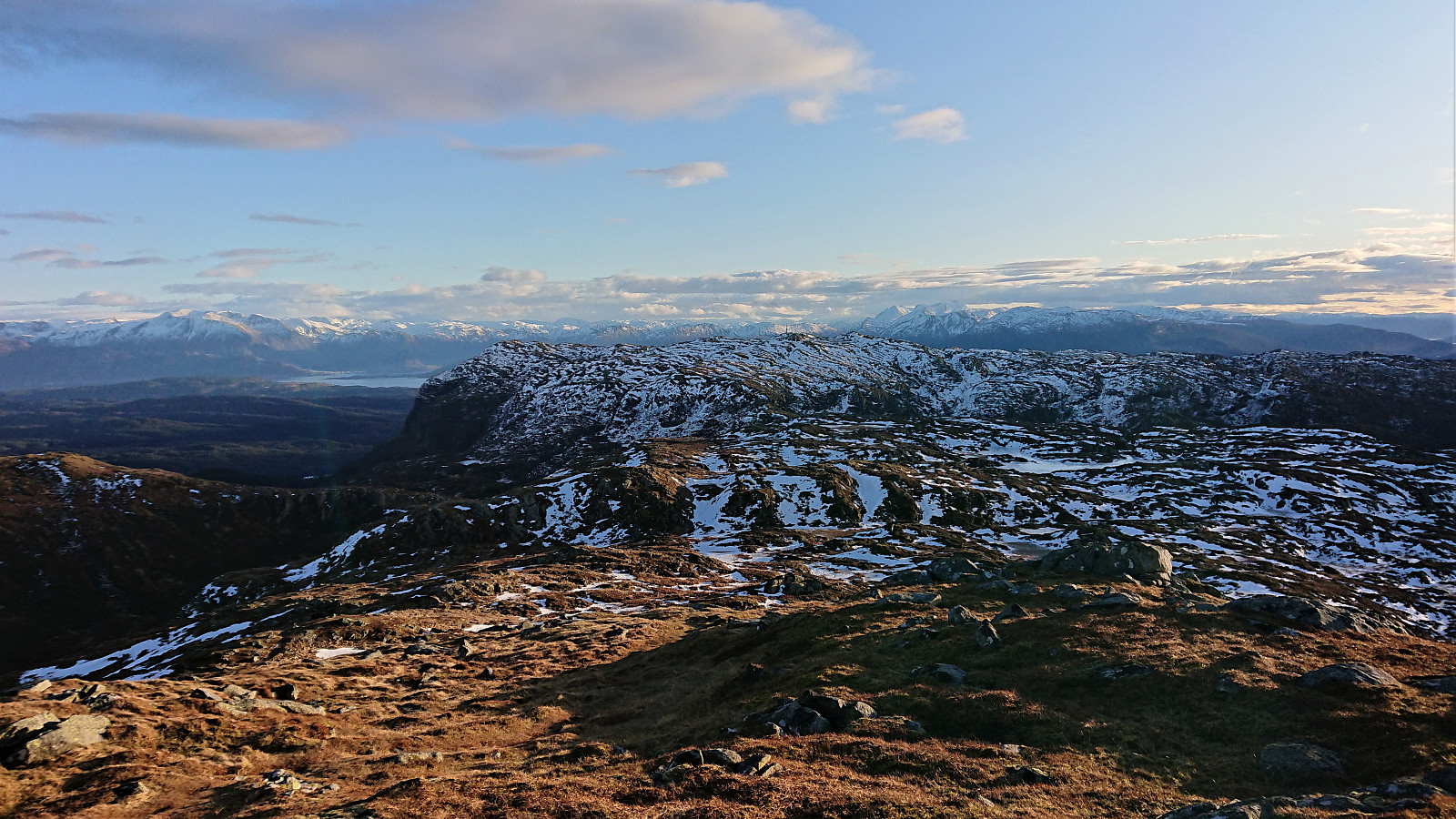
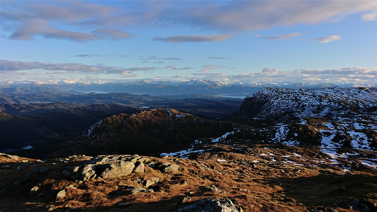
As expected, the trail could be followed all the way to the summit, even though the map indicates that it stops after Prestasætra, and continued southeast before taking a U-turn for the final ascent. I had also been expecting there to be snow as I got closer to the summit, but there were only a couple of small patches, all less than a couple of centimeters deep.
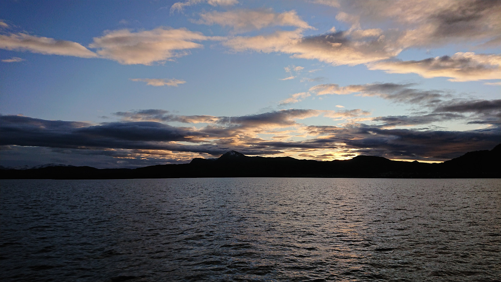
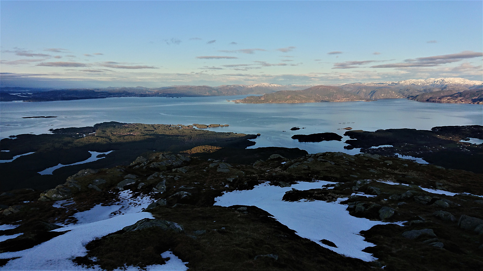
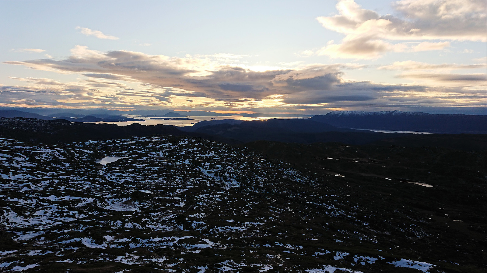
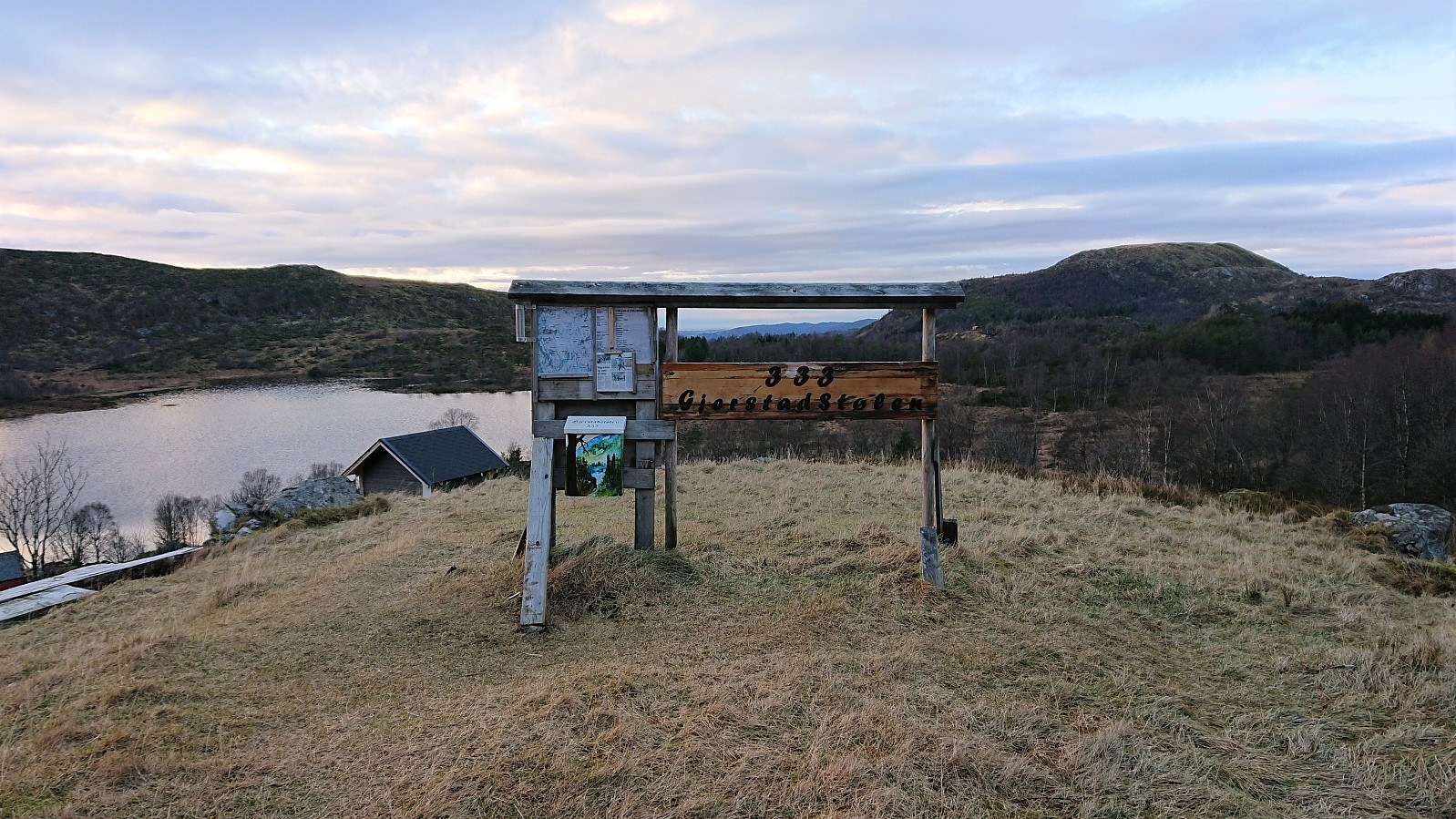
The summit provided spectacular views in all directions, but also a cold wind from the south. I therefore did not stay long before starting my descent, first along the same route as for the ascent. There was still plenty of time for the planned ferry at Våge though, so when coming across a marked trail to Gjerstad/Gjerstadstølen I decided to give it a go. Overall it would most likely be slightly longer, but it would also greatly cut down on the distance I had to walk along the main road.
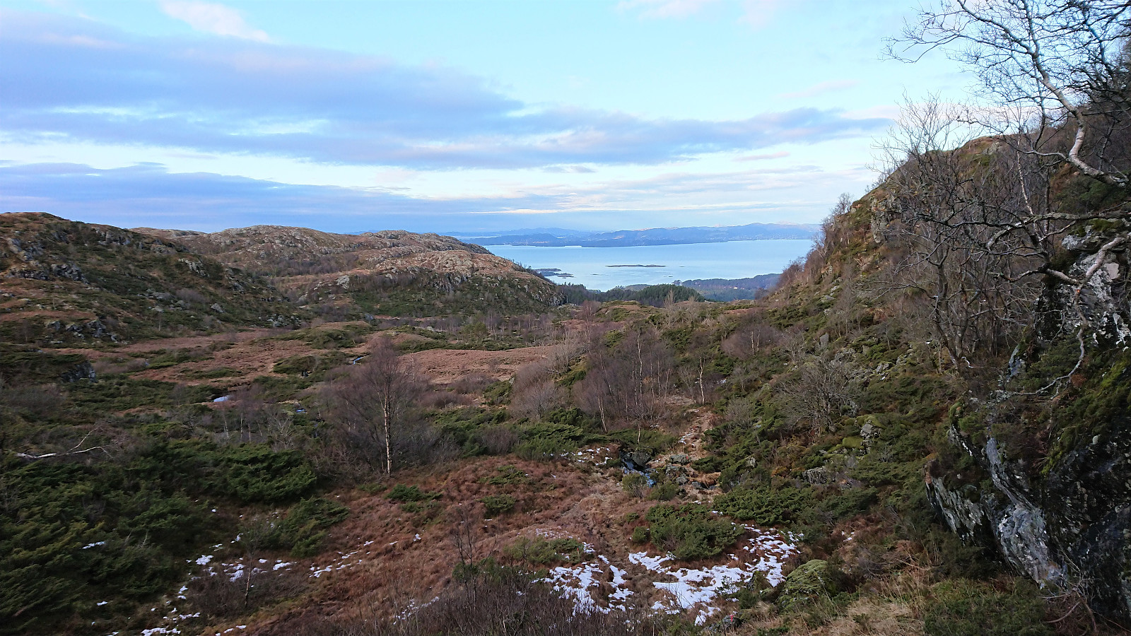
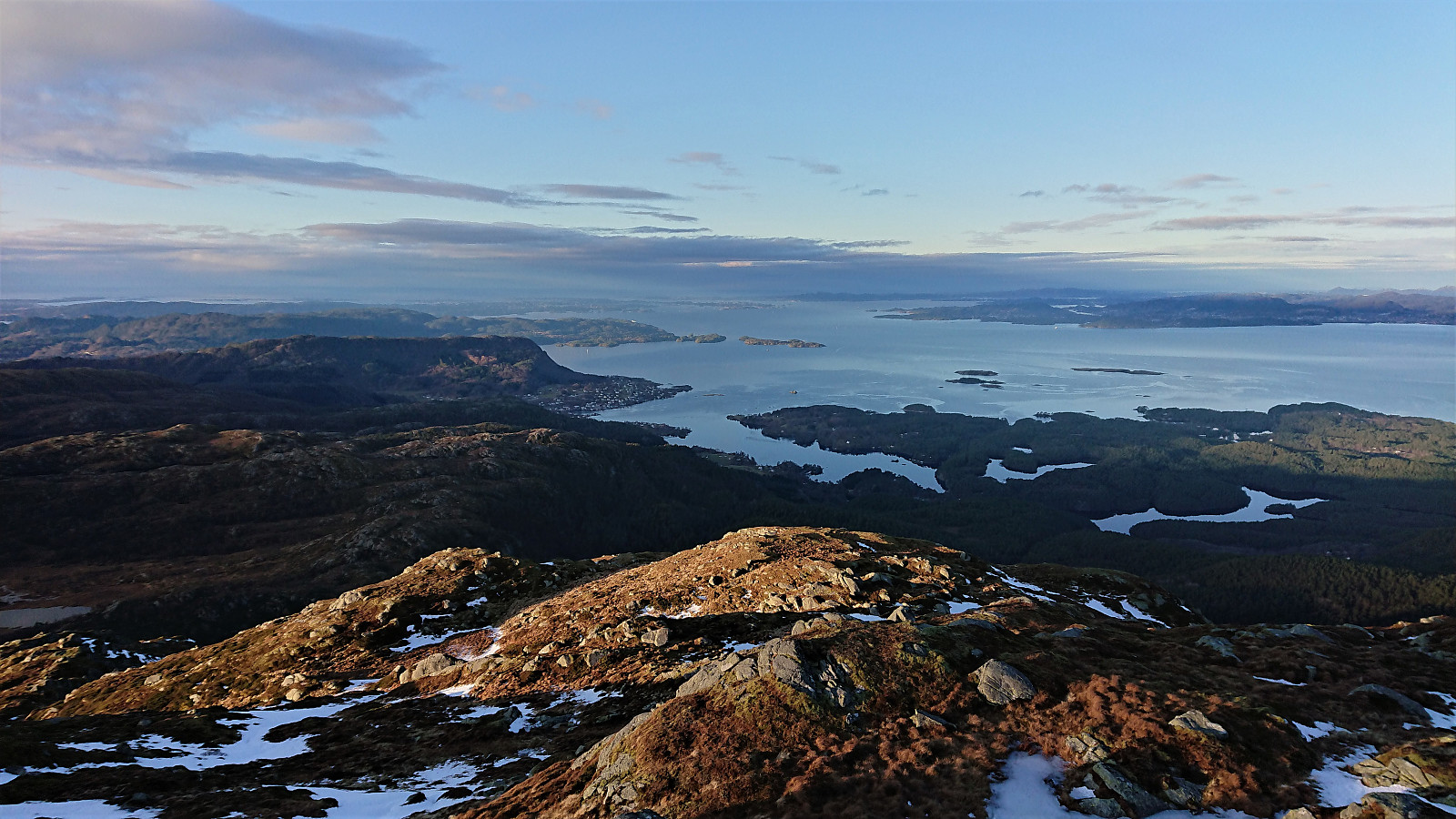
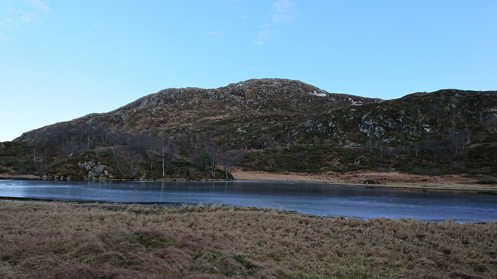
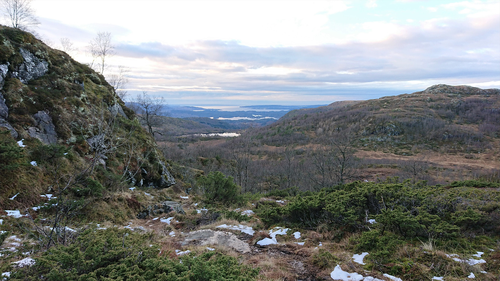
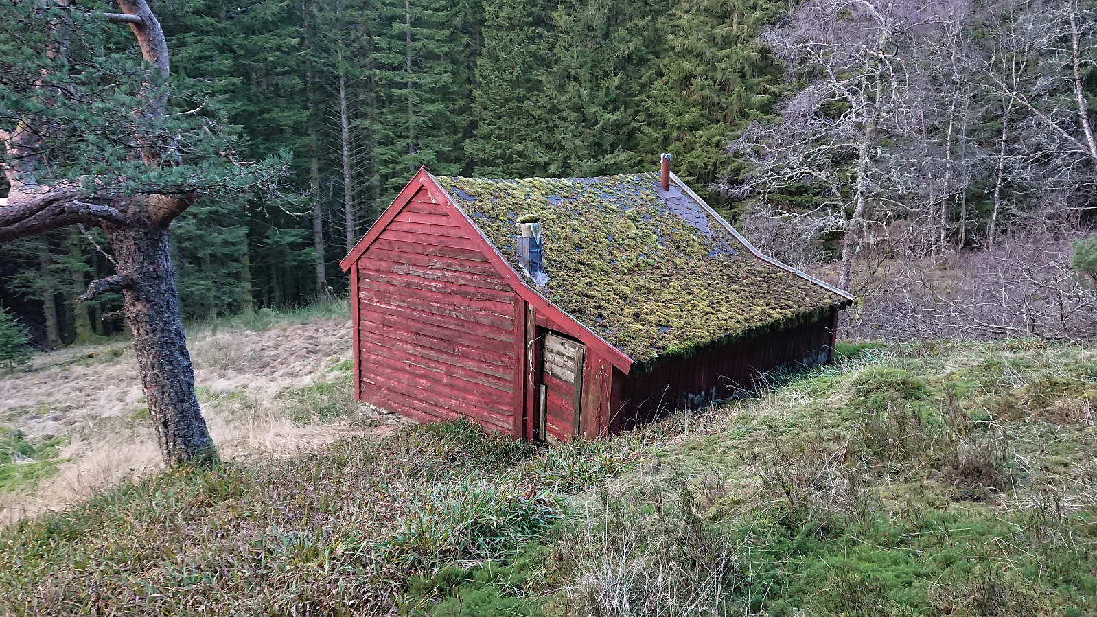
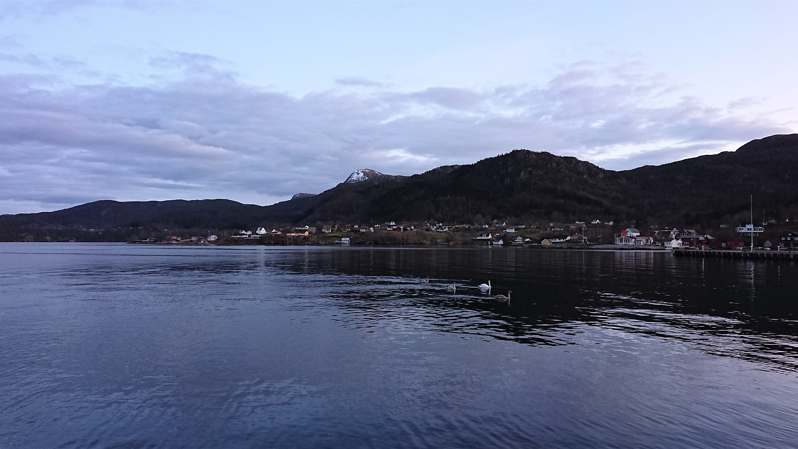
This trail was also marked with red T's and could be easily followed to Gjerstadstølen, where there was a visitor register on a small hill. From there I continued northwest along yet another marked trail, passing by Huldastølen on the way, and with excellent views towards both Singelstadfjellet and Ilefjellet. After passing northeast of Ilefjellet, I could finally spot Våge in the distance and from there on it was all downhill.
I managed to take a wrong turn just before reaching the first house though, and had to climb a low stone fence to get to the gravel road. Apparently one is supposed to go left (west) before crossing the small river and there connect with the road, thus my route through the backyard can easily be avoided. Note that there are also a couple of (unmarked) shortcuts that can be used to get to the main road more quickly (see GPS-track for details).
In summary, an excellent roundtrip on marked trails that can be very highly recommended. Spectacular views from the summit and lots of nice views along the way. Most of the trails can be rather wet though, at least that was the case for my hike, so keep this in mind when choosing your footwear.


| Start date | 22.12.2019 10:47 (UTC+01:00) |
| End date | 22.12.2019 15:42 (UTC+01:00) |
| Total Time | 4h 55min |
| Moving Time | 4h 35min |
| Stopped Time | 0h 19min |
| Overall Average | 3.5km/h |
| Moving Average | 3.8km/h |
| Distance | 17.4km |
| Vertical meters | 988m |


User comments