
Rødsfjellet/Røafjellet (02.10.2019)

Geschrieben von hbar (Harald Barsnes)

| Startpunkt | Rød/Rødo (141m) |
|---|---|
| Endpunkt | Rød/Rødo (142m) |
| Tourcharakter | Bergtour |
| Tourlänge | 2h 57min |
| Entfernung | 10,4km |
| Höhenmeter | 691m |
| GPS |
|
| Besteigungen | Rødsfjell (591m) | 02.10.2019 |
|---|---|---|
| Besuche anderer PBE | Varden på Rødsfjellet (589m) | 02.10.2019 |
Rødsfjellet/Røafjellet
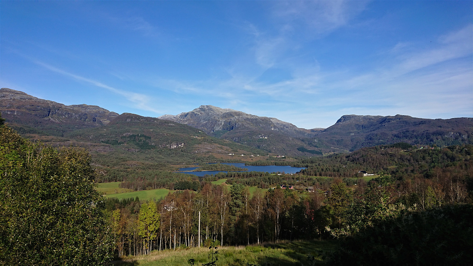
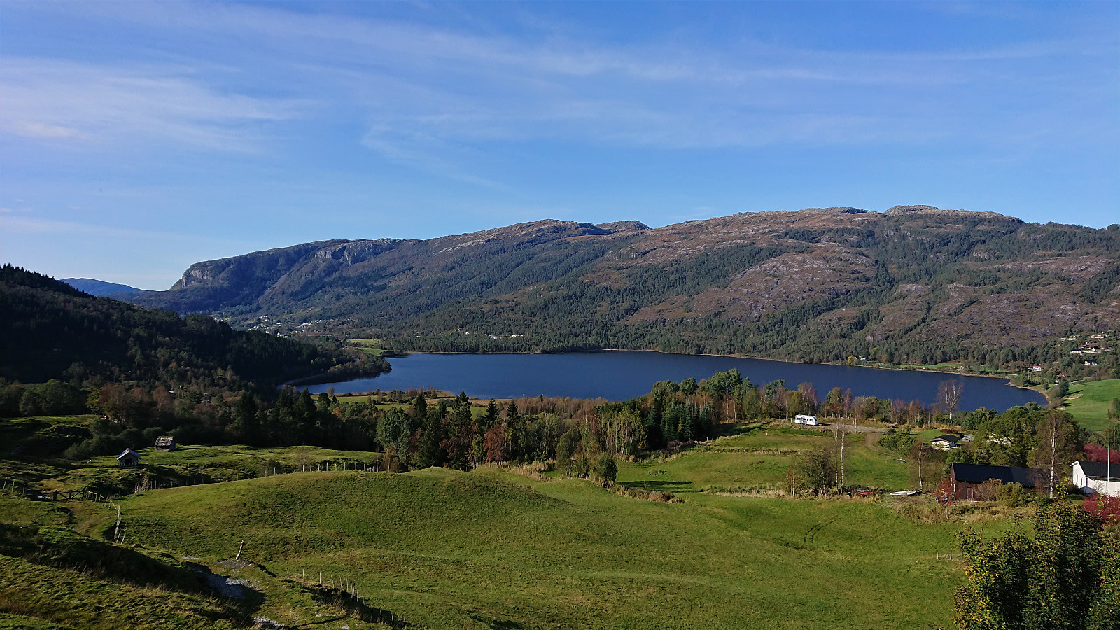
Another meeting ending at Solstrand, another hike beginning in Fusa. This time the goal was Rødsfjellet, or Røafjellet as it is called on the local signs. I first took the bus (and ferry) from the main road above Solstrand to Rødo (note that the bus stop is called Rød and not Rødo). Upon leaving the bus I had roughly three hours until the final bus back to Bergen.
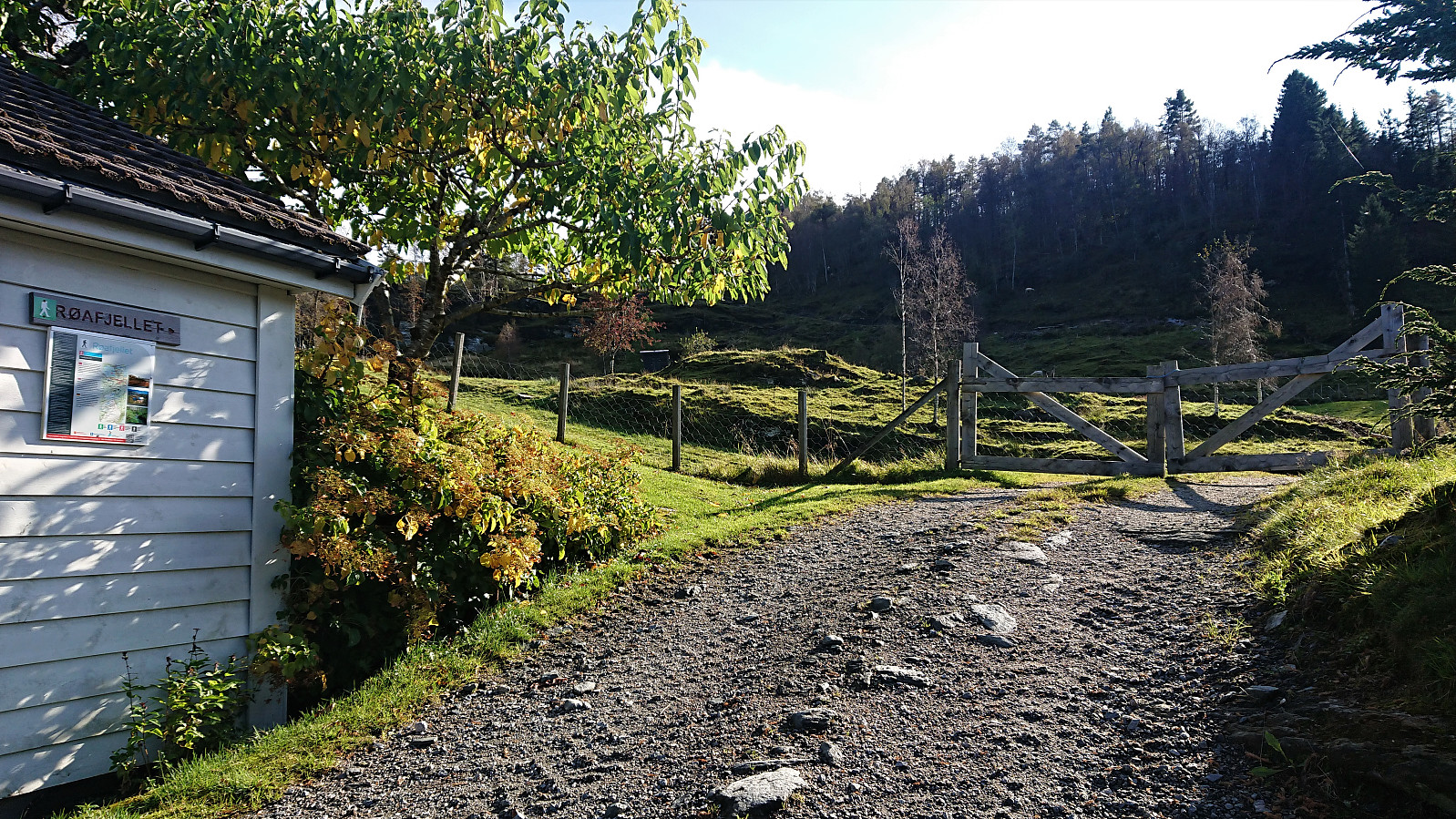
After first walking along the smaller roads to Ytrerødo, thankfully easily avoiding the main road, I located the marked trailhead (there was even one or two signs earlier on as well) which also included an information sign about the hike.
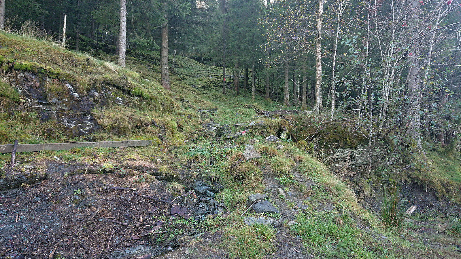
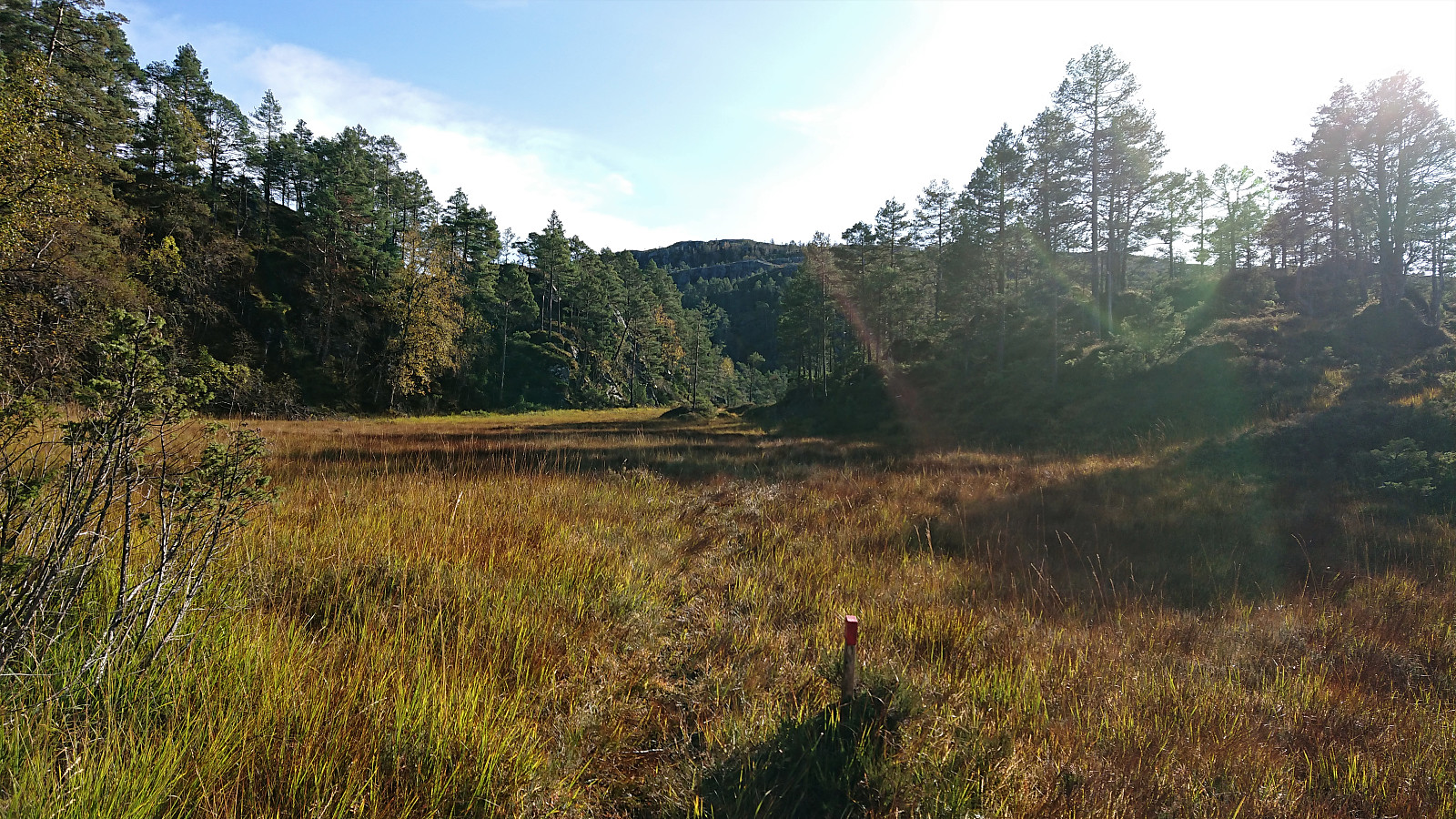
I first passed through two gates before shortly leaving the tractor road for a shortcut through the forest, all clearly marked with red paint, and then reconnecting with the tractor road, until it came to an end, from there I continued south on a trail.
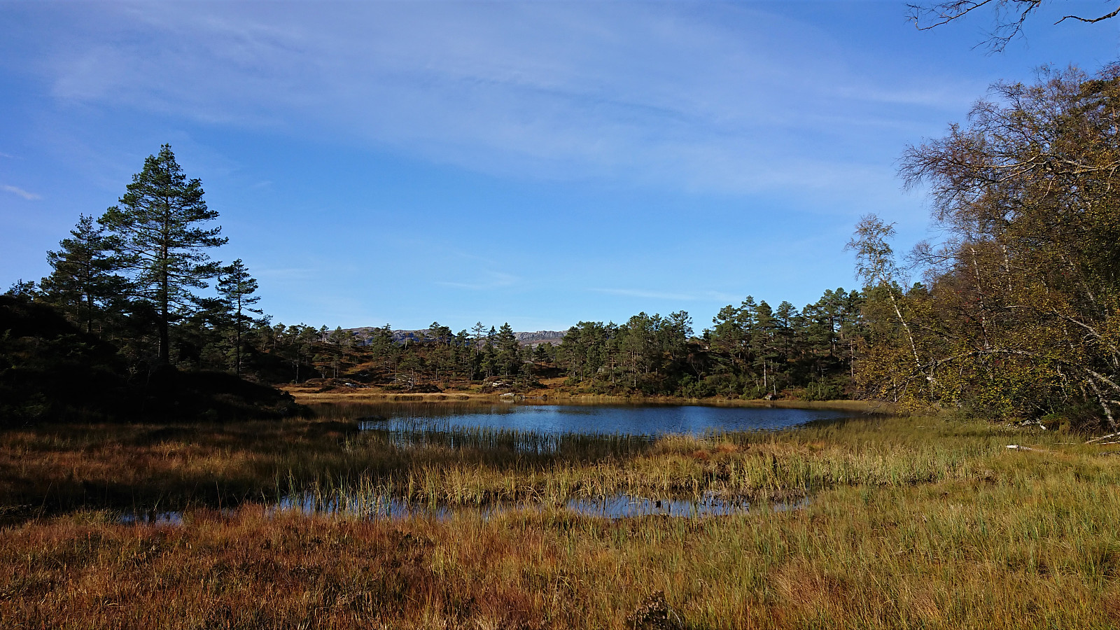
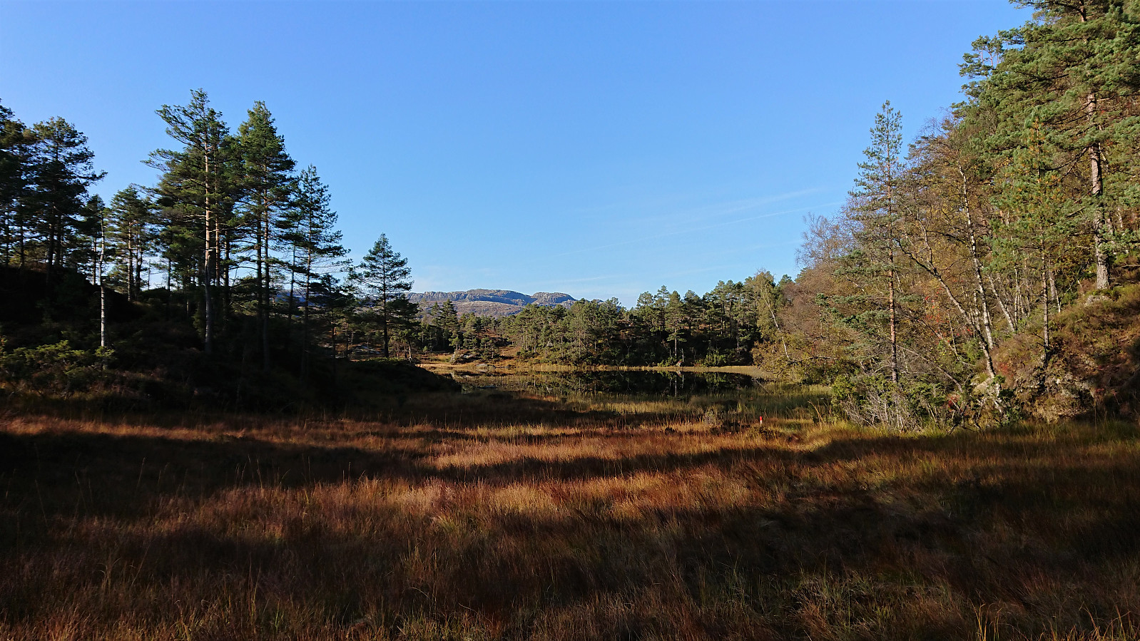
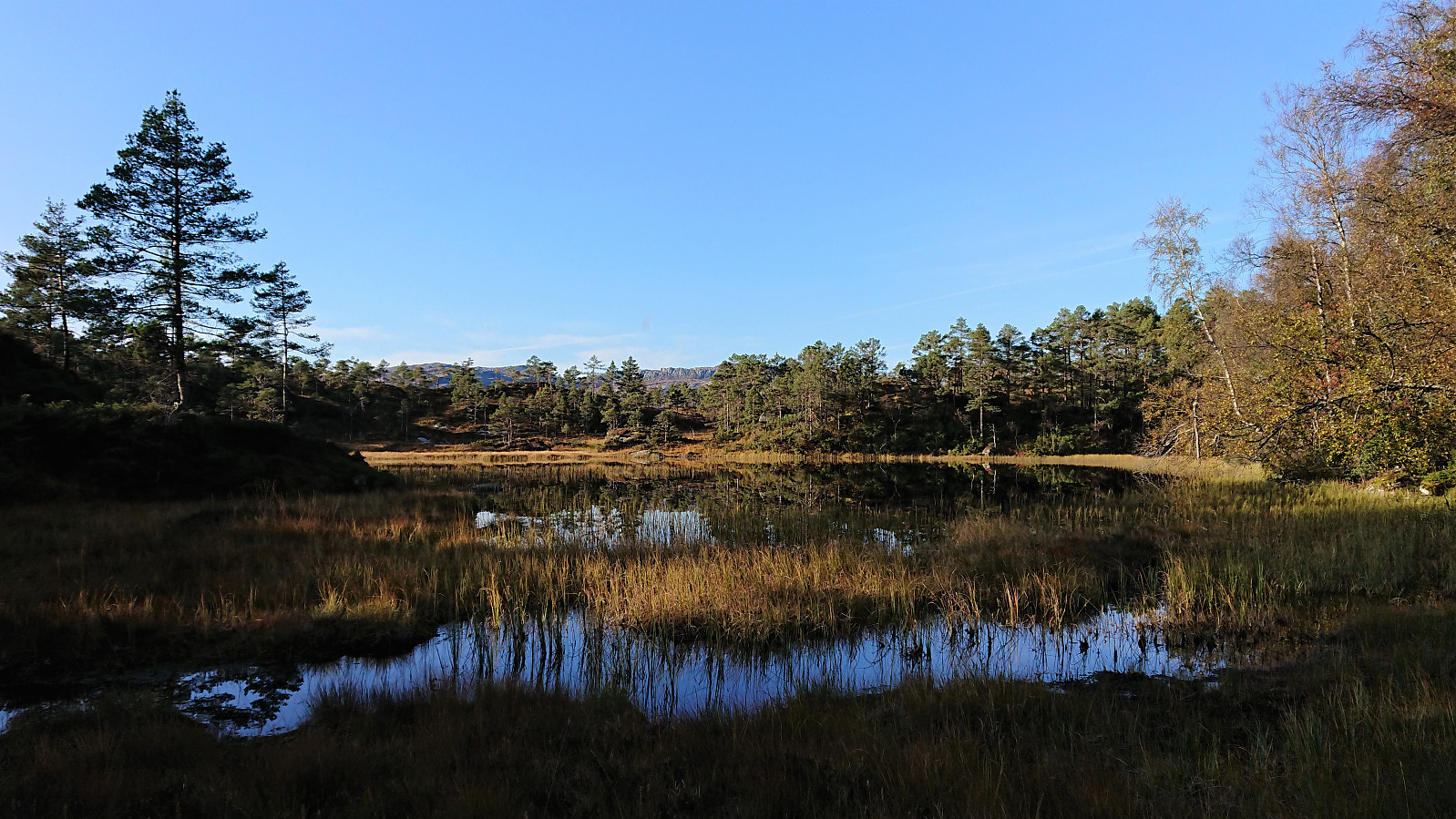
Due to the red markers the trail was overall easy to follow, but the trail itself was not always as easy to spot, usually because it was crossing several very wet areas. I was also surprised when the trail suddenly climbed up steeply north of Stemmetjørna, only to descend back down to the small lake shortly after.
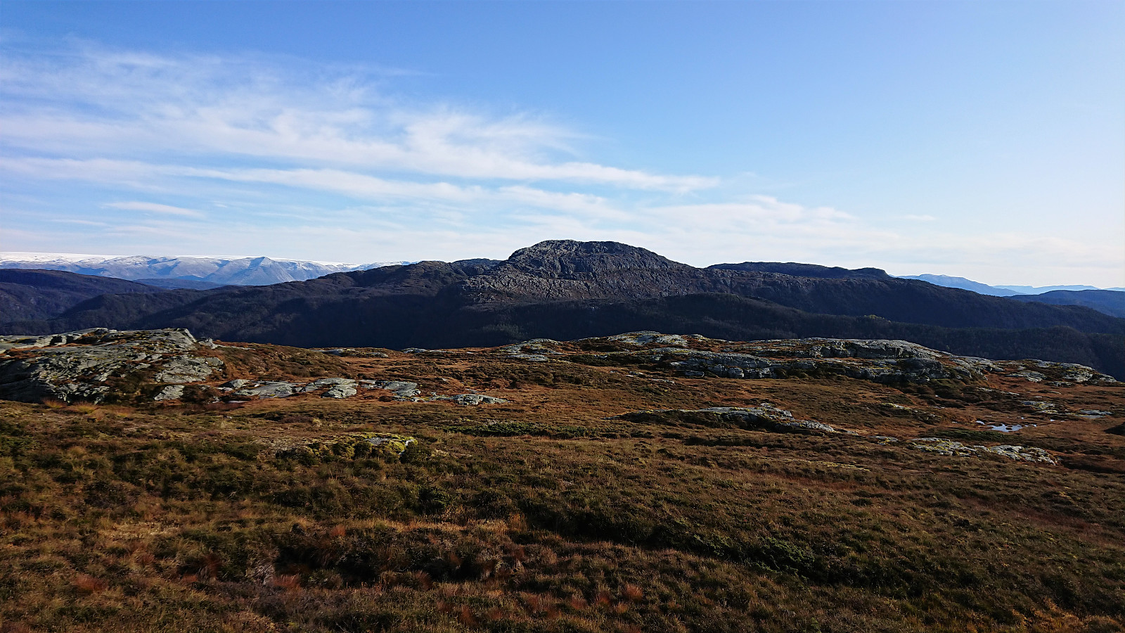
In general, I was happy to have a marked trail to follow, given that the trail’s many twists and turns where not always obvious. This was especially true for the sudden sharp turn northwest of Sætratjørna, where the trail first ascended steeply up to the right (west), before descending into the small valley north of Røafjellet, followed by a final ascent towards the summit from the northeast. Not the most apparent route when looking at the map, but most likely the best option given the terrain.
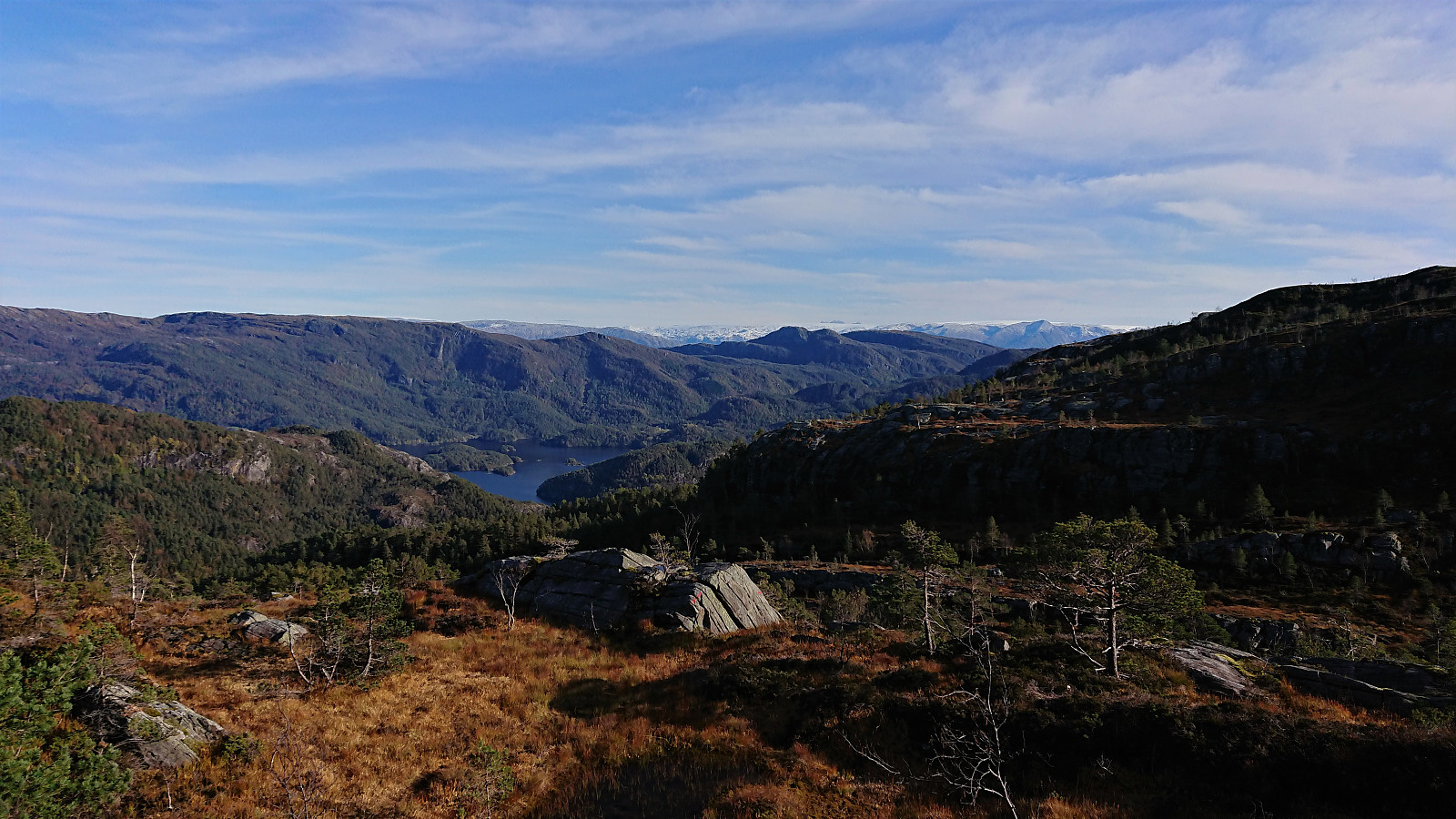
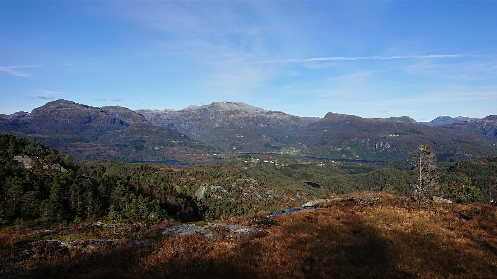
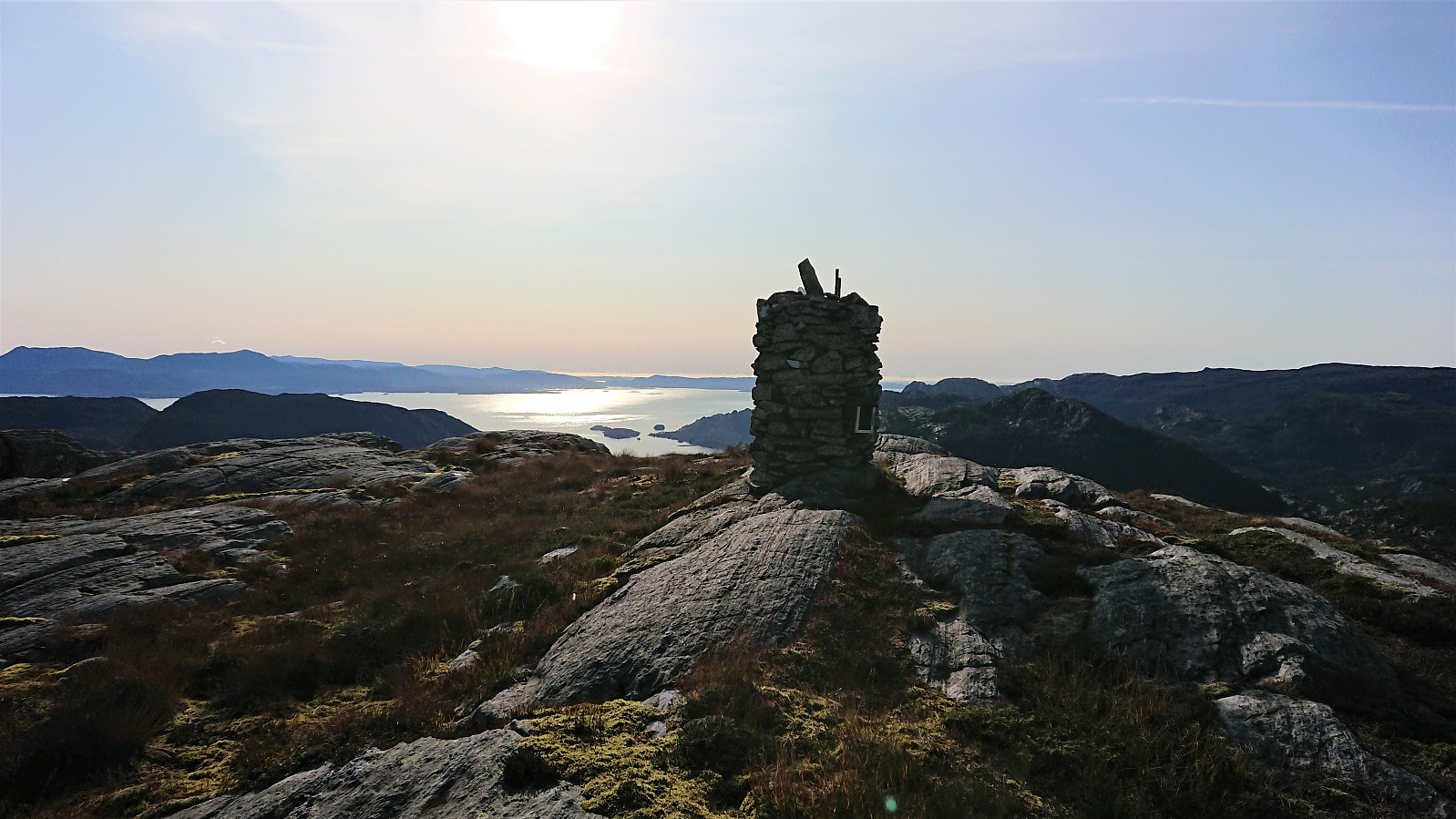
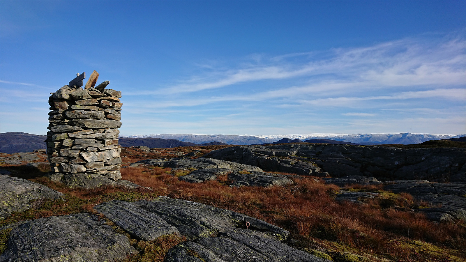
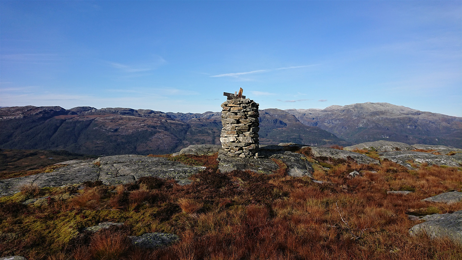
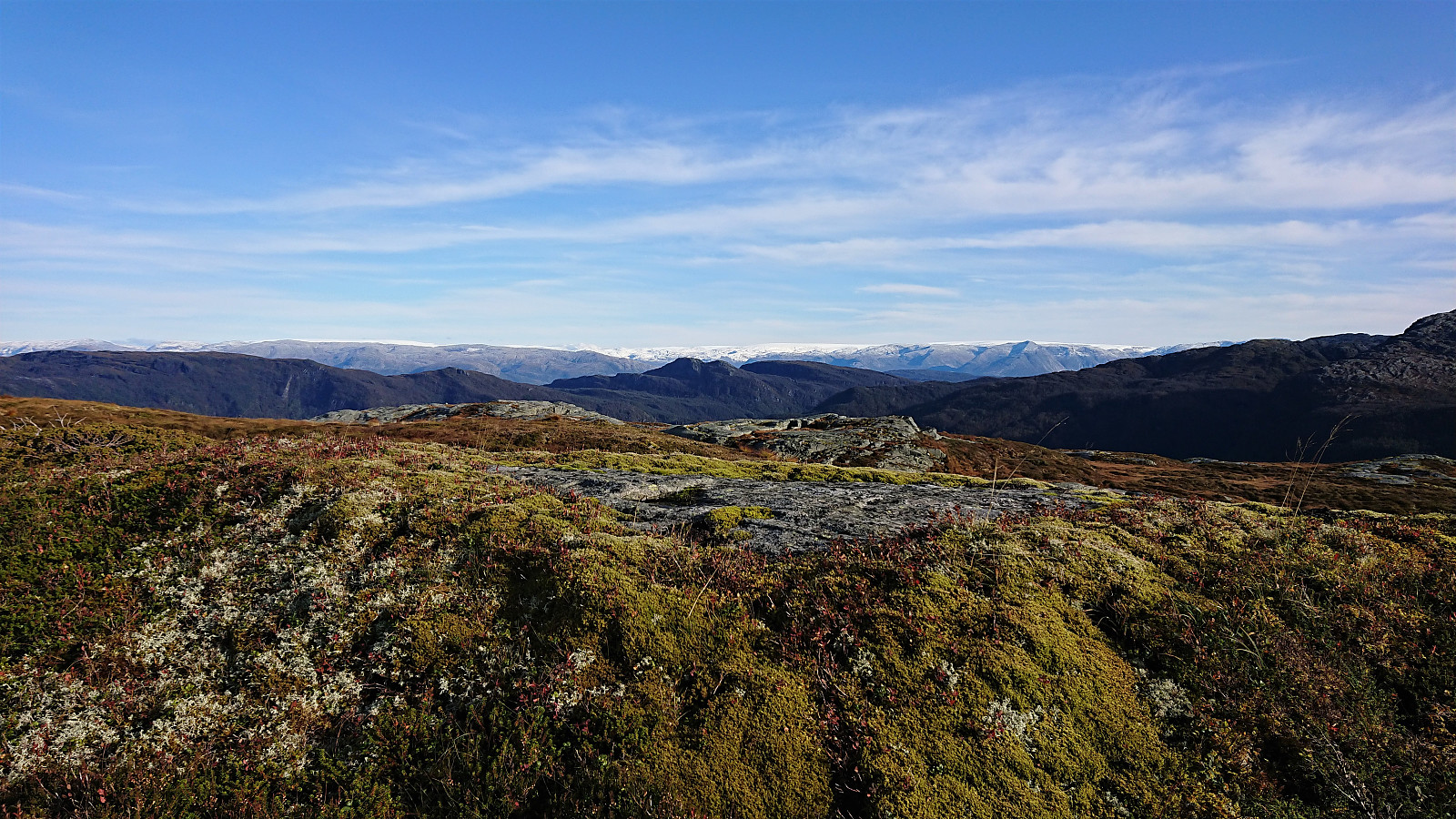
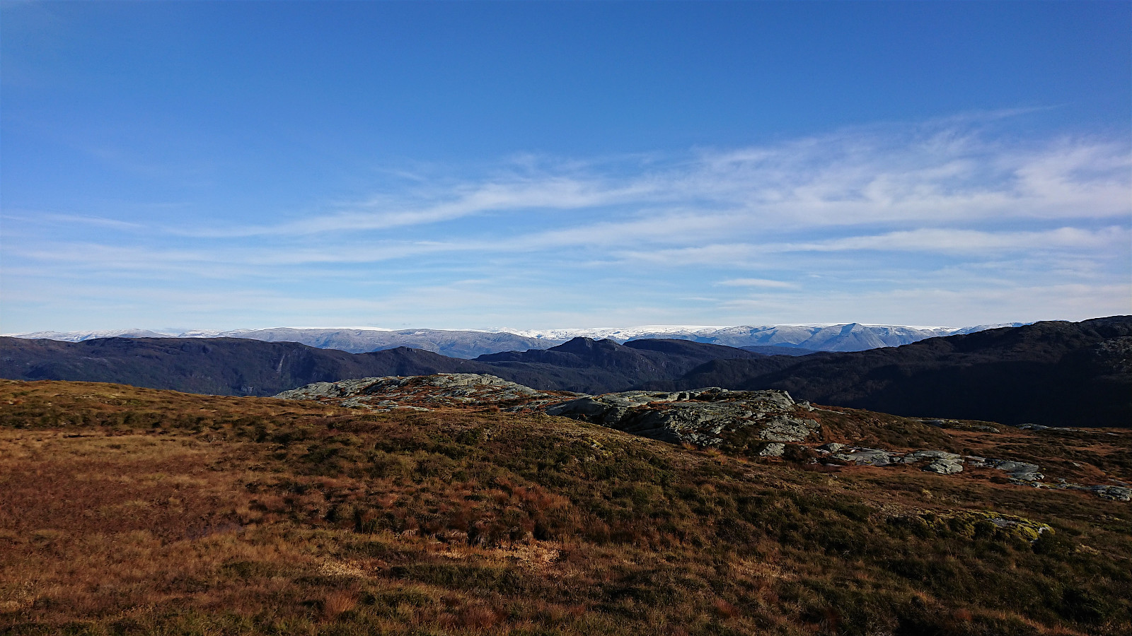
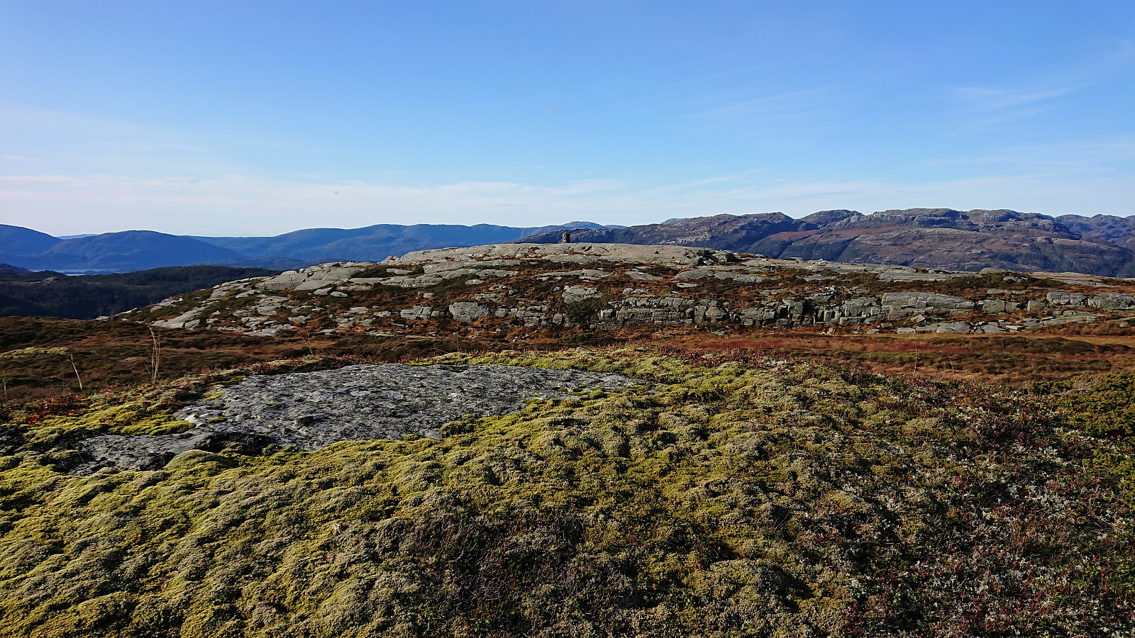
The large cairn with the visitor register was easily reached, and after signing my name, I quickly moved on to the summit to the southeast, both locations providing excellent views, perhaps most notably towards Folgefonna.
From the summit I made a shortcut back to the marked trail to start my descent, now having less than 1.5 hours to reach the bus stop. In the end I made it to the bus stop with almost ten minutes to spare, after having to push a bit to make sure to get there in time.
In summary, a tougher hike than expected, but mainly due to my tight schedule and a heavier backpack than usual (due to coming directly from the meeting), although the often very wet trail did not help either.
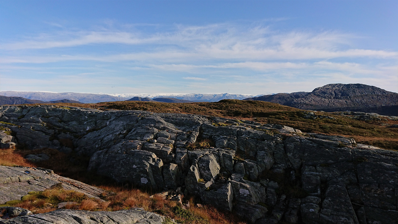
The views from the summit, and along the way, where however excellent, and the marked trail generally easy to follow, thus still resulting in a hike that can definitely be recommended.
| Startzeitpunkt | 02.10.2019 14:35 (UTC+01:00 SZ) |
| Endzeitpunkt | 02.10.2019 17:32 (UTC+01:00 SZ) |
| Gesamtzeit | 2h 57min |
| Zeit in Bewegung | 2h 44min |
| Pausenzeit | 0h 13min |
| Gesamtschnitt | 3,5km/h |
| Bewegungsschnitt | 3,8km/h |
| Entfernung | 10,4km |
| Höhenmeter | 691m |


Benutzerkommentare