
Stangelifjellet - descending via Sofusstien (28.09.2019)

Written by hbar (Harald Barsnes)

| Start point | Ervikv (32m) |
|---|---|
| Endpoint | Tømmervågen (35m) |
| Characteristic | Hillwalk |
| Duration | 2h 56min |
| Distance | 11.9km |
| Vertical meters | 674m |
| GPS |
|
| Ascents | Stangelifjellet (372m) | 28.09.2019 |
|---|---|---|
| Øst for Stangelifjellet (418m) | 28.09.2019 | |
| Visits of other PBEs | Stallane (207m) | 28.09.2019 |
| Vinddalsveien p-lomme (160m) | 28.09.2019 |
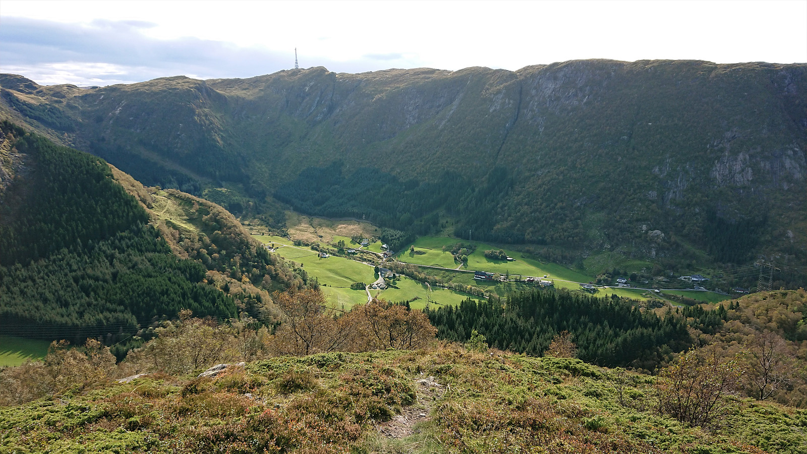
Stangelifjellet - descending via Sofusstien
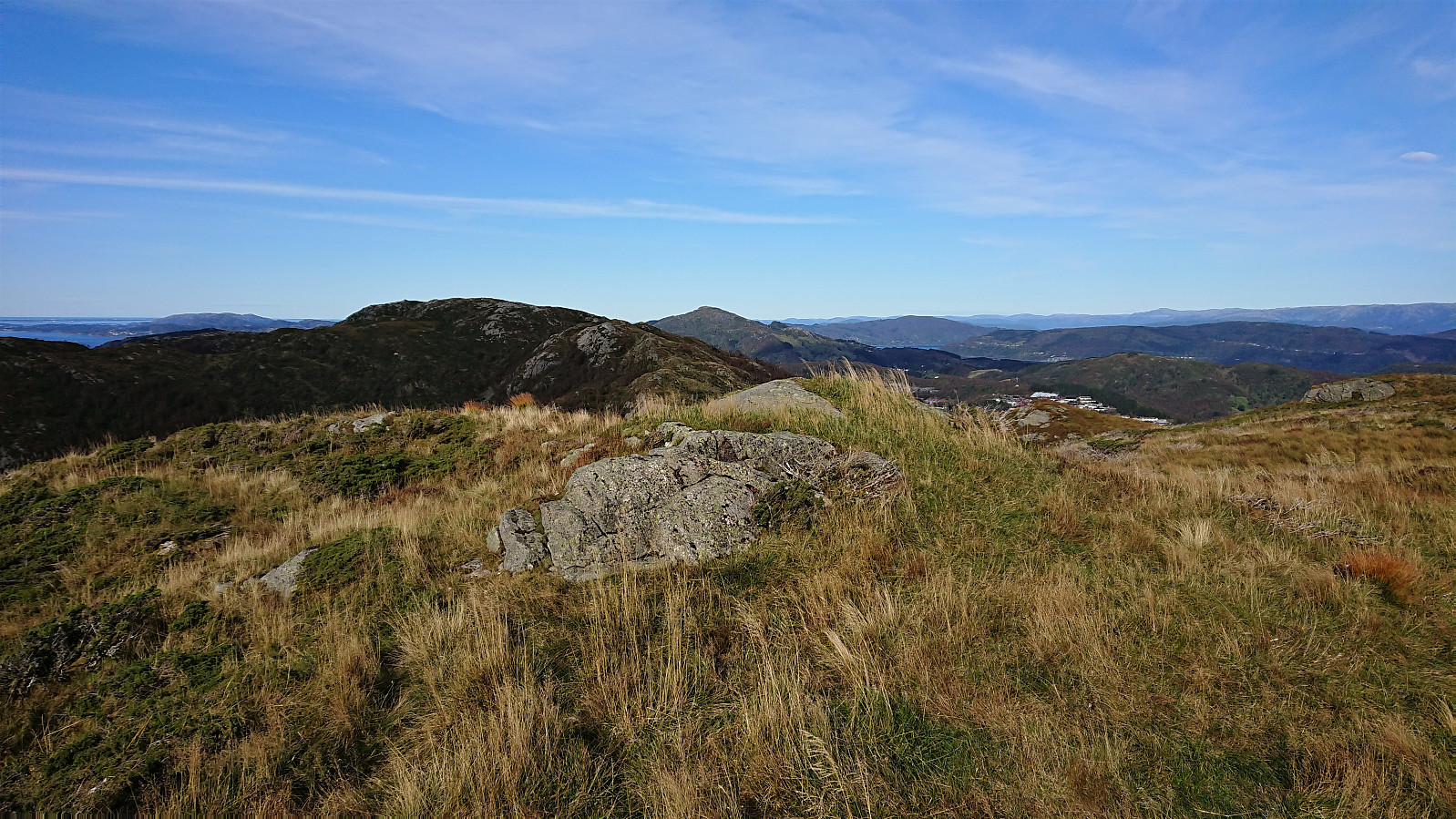
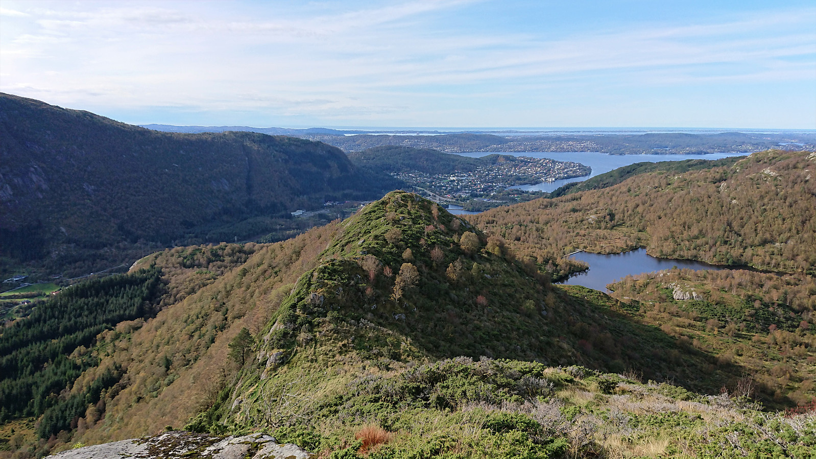
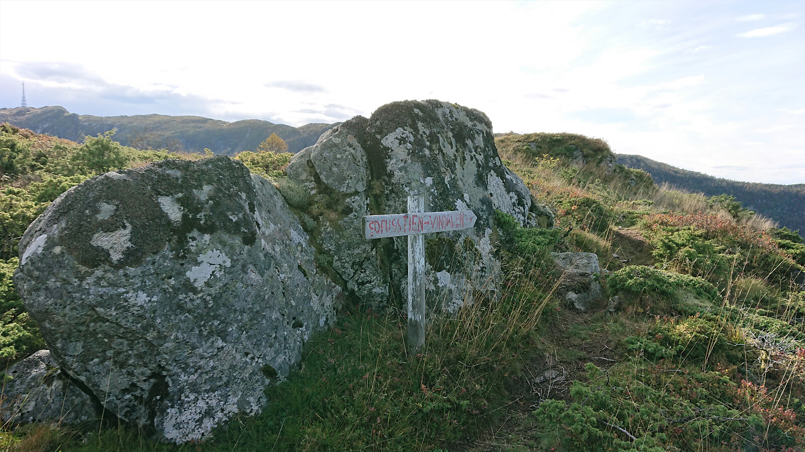
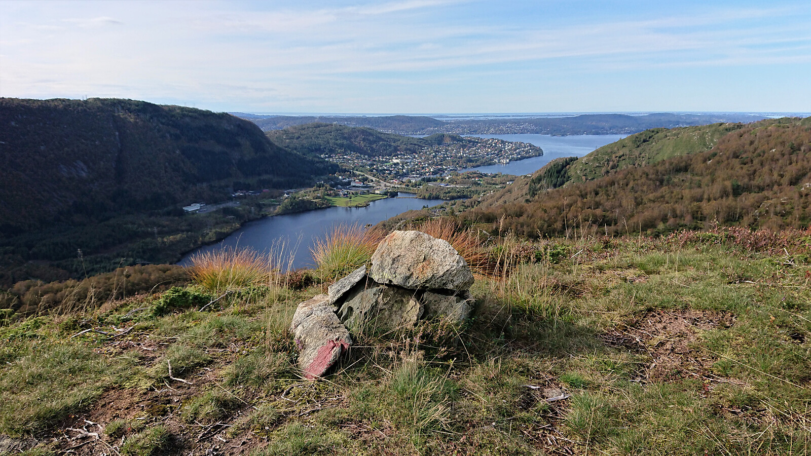
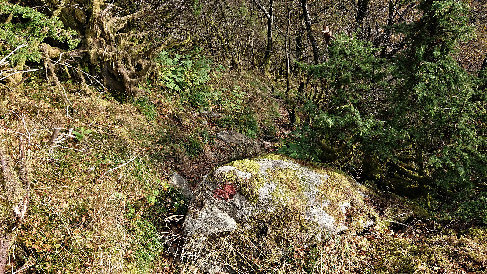
Took the bus to Ervik and followed Selvikveien until the trailhead for Setervatnet. My initial plan had been to walk around the dam and return the same way, but when ascending to Øst for Stangelifjellet I came across a trail I had not noticed before which apparently would take me down to Vinddalen. Upon reaching the summit of Øst for Stangelifjellet I therefore returned to the trail marked as Sofusstien, which turned out to be a trail marked with red paint, and although it was clear that the red paint was far from fresh, the trail itself was easy to follow.
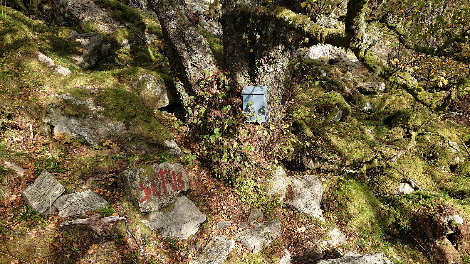
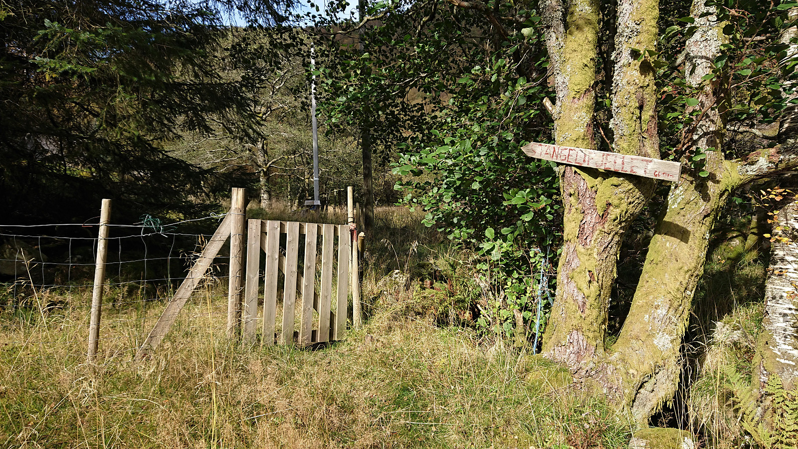
Halfway down the trail there was also a visitor register with an explanation for the name of the trail. When the trail connected with the road I continued south to Stallane, before following the road on the south side of Jordalsvatnet on the way back to the main road.
At Tømmervågen I was rather bored of walking along the paved road, and therefore hopped on a bus when the opportunity presented itself, thus skipping the final stretch around Eidsvågneset.
| Start date | 28.09.2019 12:25 (UTC+01:00 DST) |
| End date | 28.09.2019 15:22 (UTC+01:00 DST) |
| Total Time | 2h 56min |
| Moving Time | 2h 51min |
| Stopped Time | 0h 5min |
| Overall Average | 4.0km/h |
| Moving Average | 4.2km/h |
| Distance | 11.9km |
| Vertical meters | 673m |


User comments
Great find!
Written by HHauser 29.09.2019 11:13Thanks for sharing, Harald, that was an interesting finding! Looks like an interesting option for rounding Vinddalen, when combined with Ulskebjørnen, for example.
Re: Great find!
Written by hbar 29.09.2019 22:57Thanks! Yes, it is always nice to find new trails that can provide new experiences in otherwise familiar hiking terrain. :)