
Slåttenovi and Hatlekinni from Bolstadøyri (21.09.2019)

Geschrieben von hbar (Harald Barsnes)

| Startpunkt | Bolstadøyri (9m) |
|---|---|
| Endpunkt | Bolstadøyri (9m) |
| Tourcharakter | Bergtour |
| Tourlänge | 6h 02min |
| Entfernung | 22,0km |
| Höhenmeter | 1.236m |
| GPS |
|
| Besteigungen | Hatlekinni (901m) | 21.09.2019 |
|---|---|---|
| Slåttenovi (607m) | 21.09.2019 | |
| Besuche anderer PBE | Bolstadøyri stasjon (9m) | 21.09.2019 |
| Øvstedalsveien parkering (489m) | 21.09.2019 |
Slåttenovi and Hatlekinni from Bolstadøyri

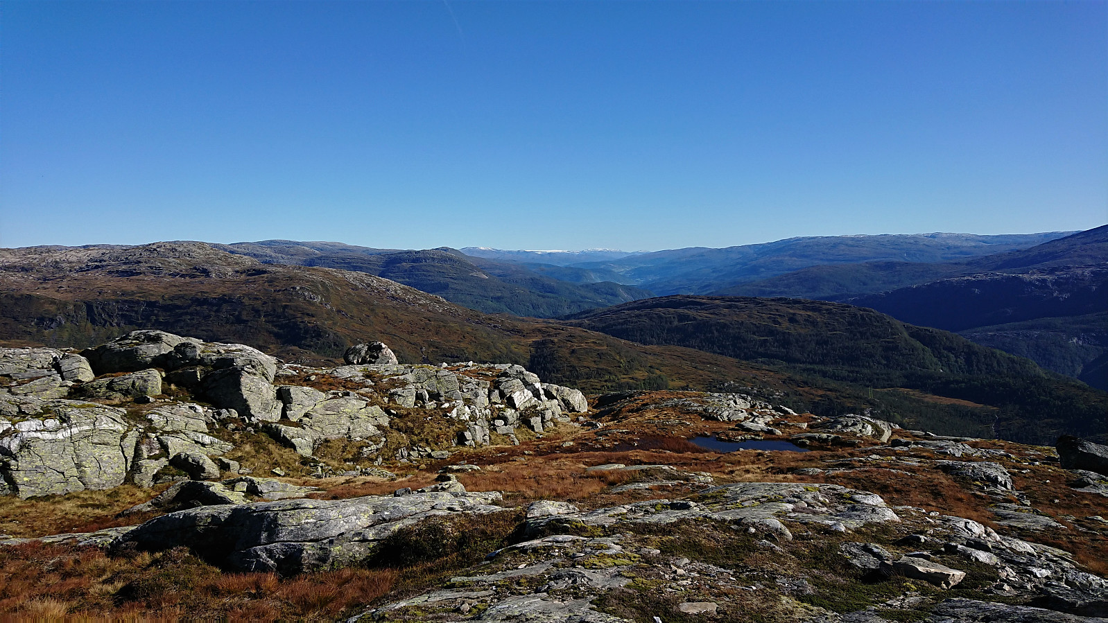
Slåttenovi
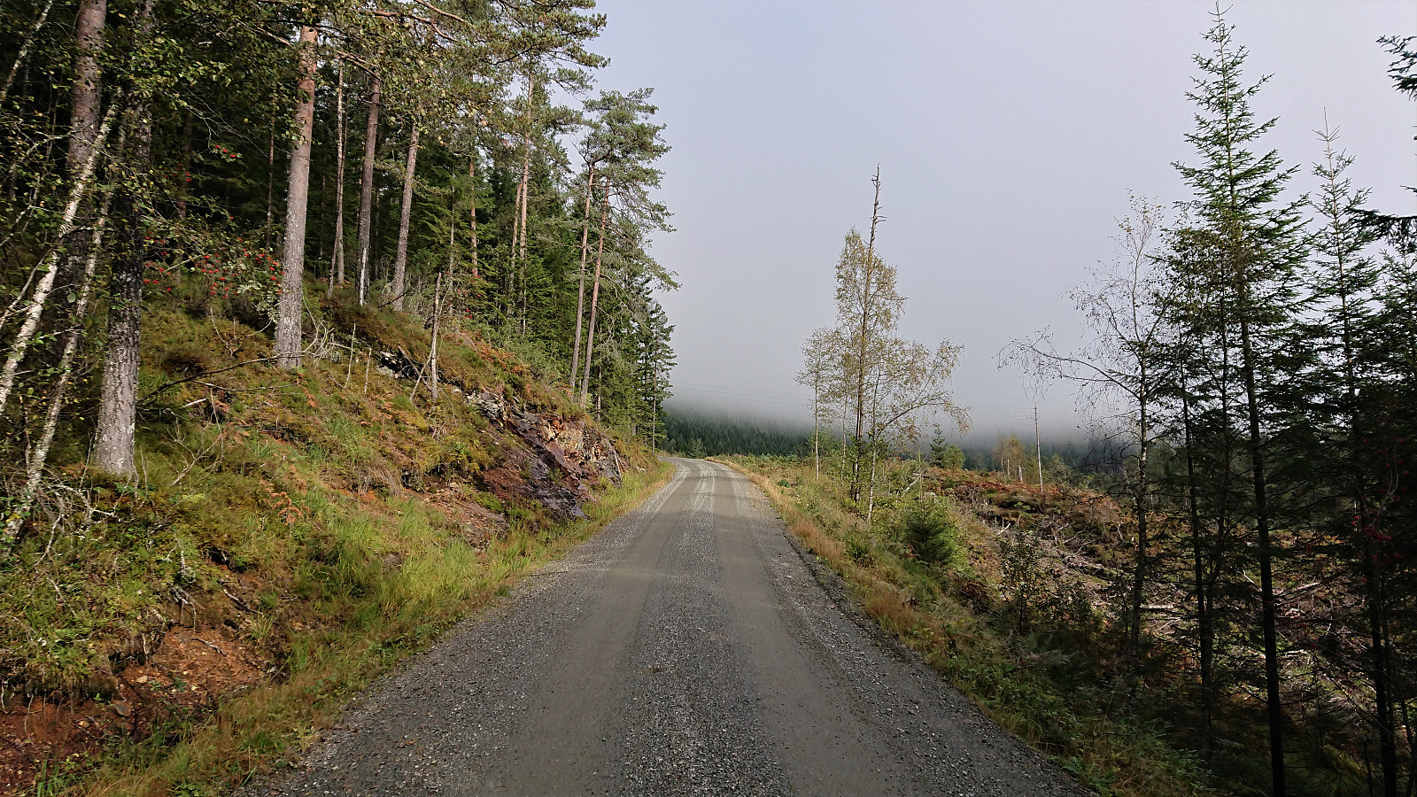
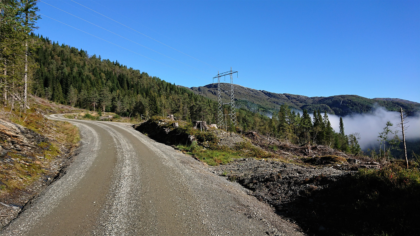
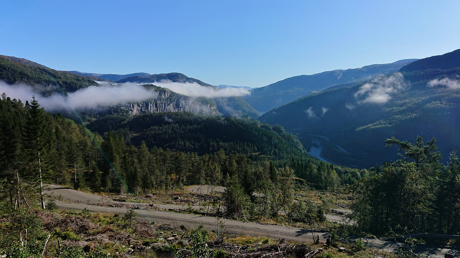
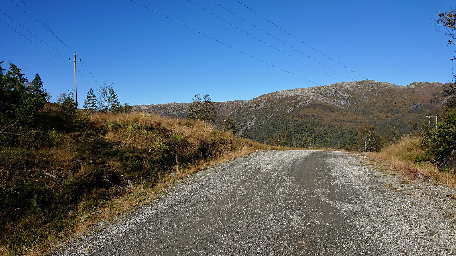
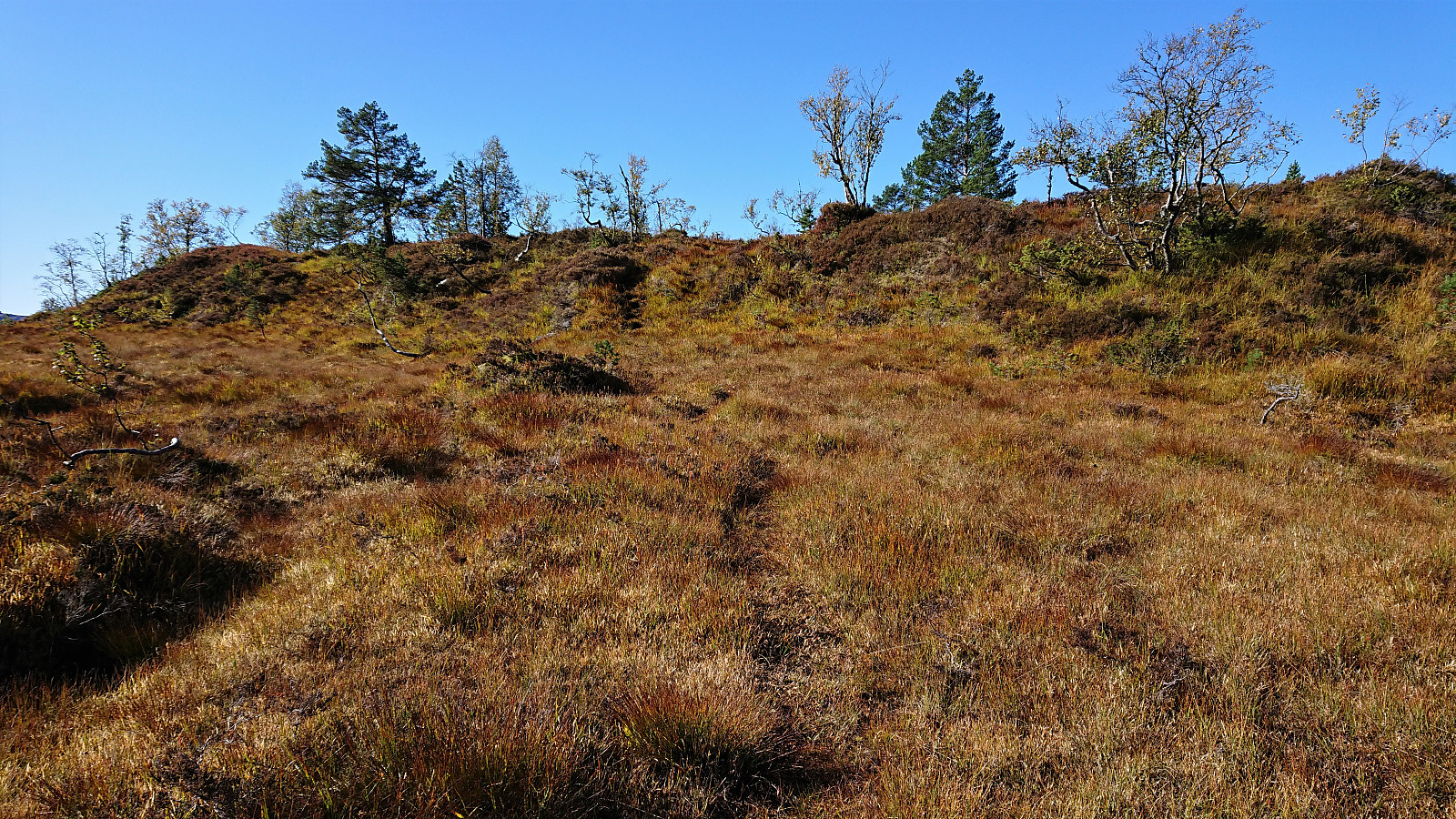
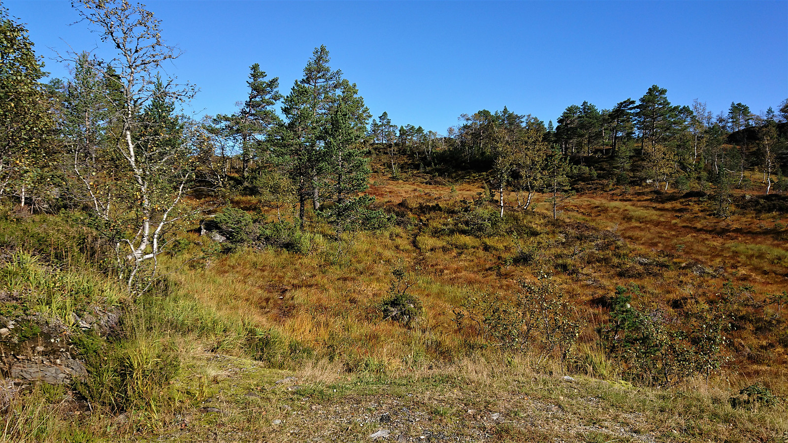
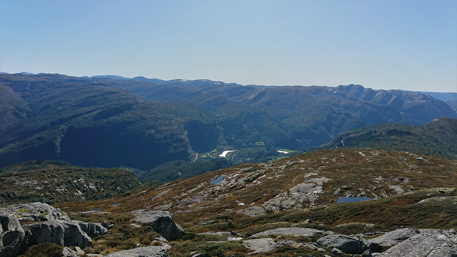
Started by taking the train to Bolstadøyri and, after crossing the river at the bridge, I walked northeast along the road, before following the gravel road towards Øvstedalen. When the winding road reached its highest point (before descending into Øvstedalen), I followed an unmarked trail southwest in the direction of Slåttenovi. The trail was pretty wet and at times rather weak, especially when crossing the wettest areas. I therefore ended up losing it a couple of times, but given that the summit was visible for most of the hike anyway, this was not really an issue.
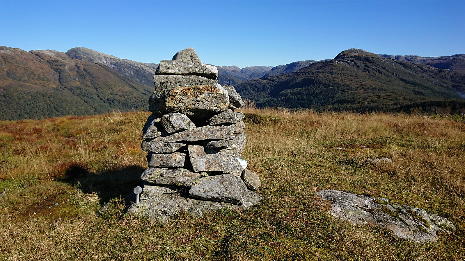
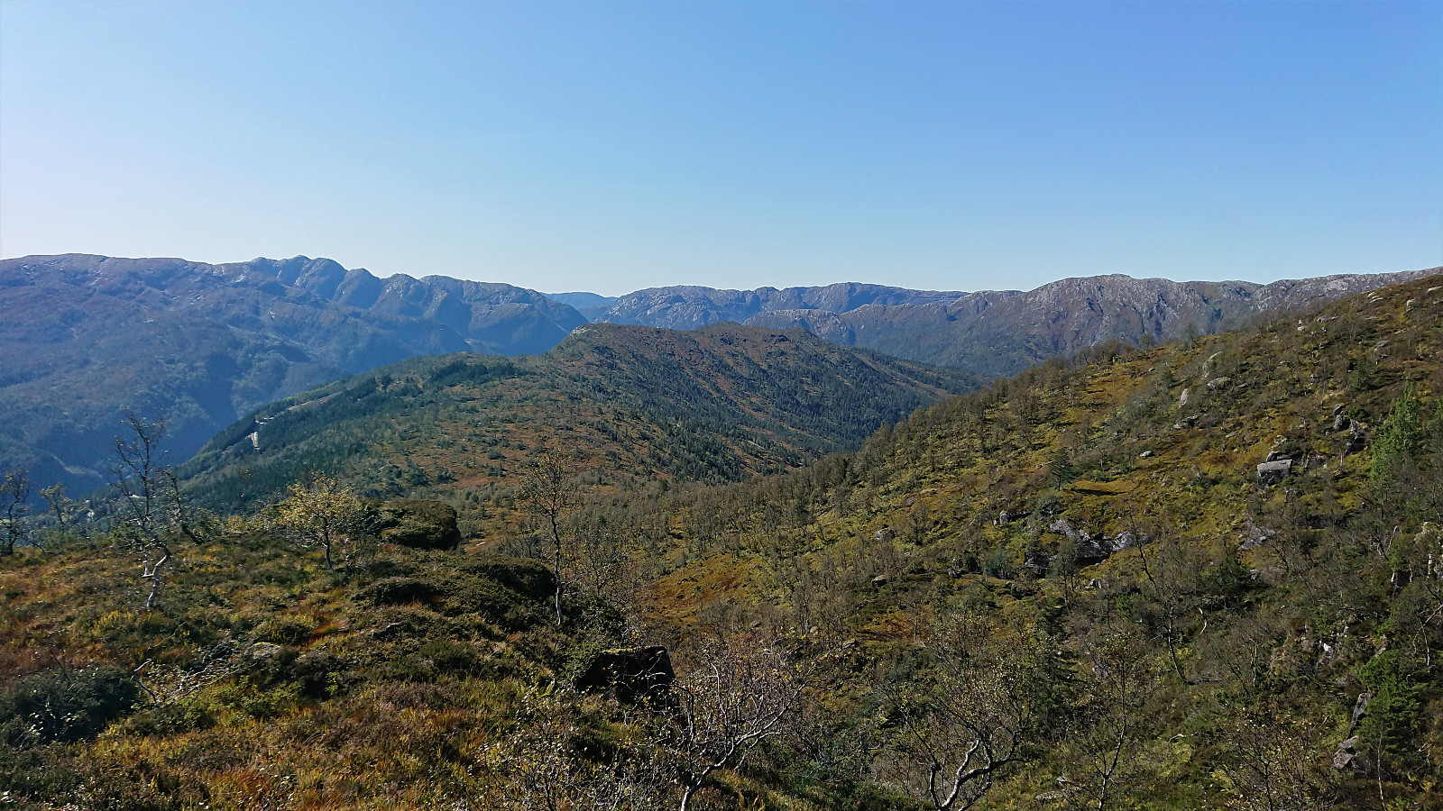
The summit provided nice views and also included a visitor register indicating more than 100 visits so far for 2019. After a couple of pictures, I made a quick stop at the remains of the trig marker to the east, before returning along the same route to the gravel road.
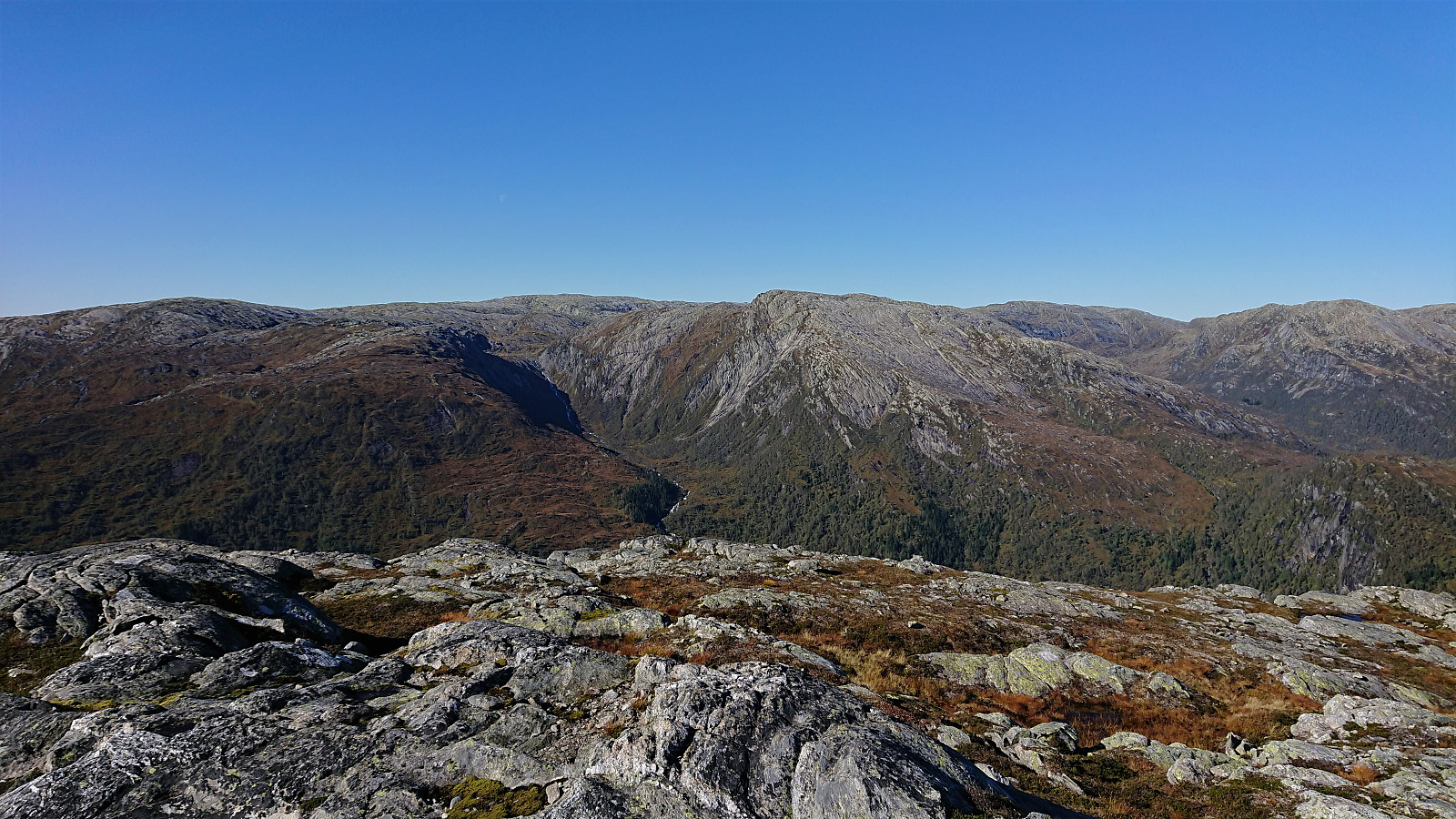
Hatlekinni
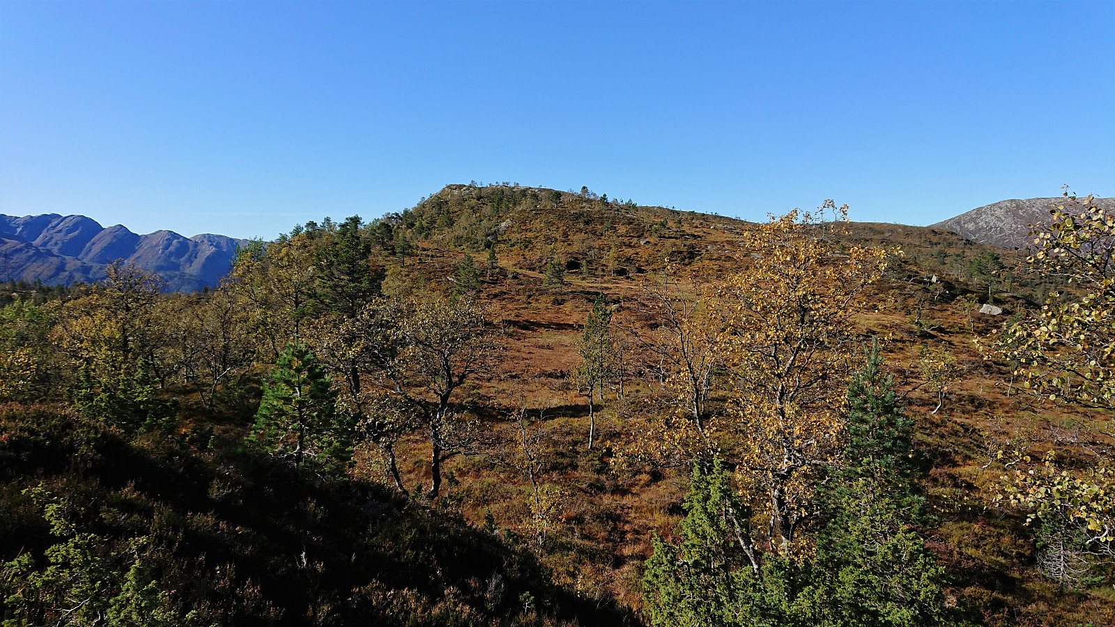
There I located a weak trail seemingly heading in the direction of Hatlekinni and also met a local sheep farmer out gathering the sheep for the winter. She confirmed my suspicion that most hikers ascend Hatlekinni from the opposite side and informed me that there were no trails from this side.
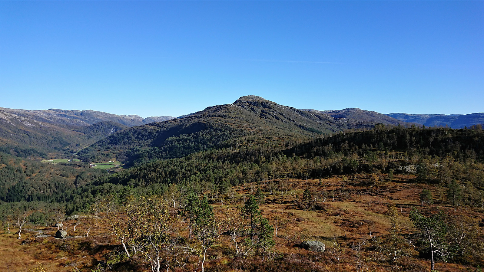
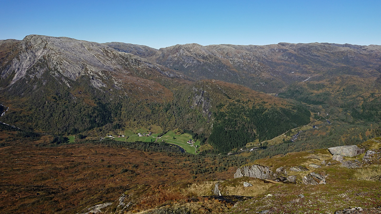
However, while there were some steep sections that had to be avoided, we agreed that it should be possible to reach the summit from where we were standing as well. After an extra look at the map I therefore started towards the summit, first along a wet trail, mainly used to get to the cabins at Dunsen, and later making my own way, all the time paying close attention to the map to avoid the steep areas. This was straightforward until reaching a small stream at around 600 meters. Here the terrain turned slightly more challenging, but I managed to find a route not requiring any climbing and avoiding all exposed areas.
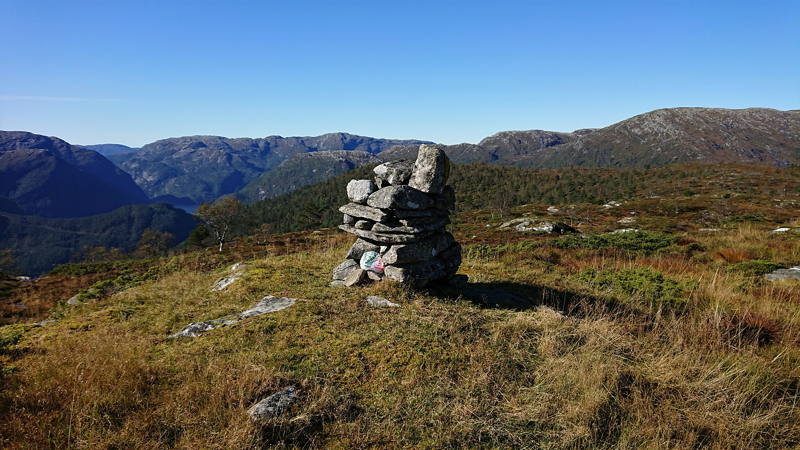
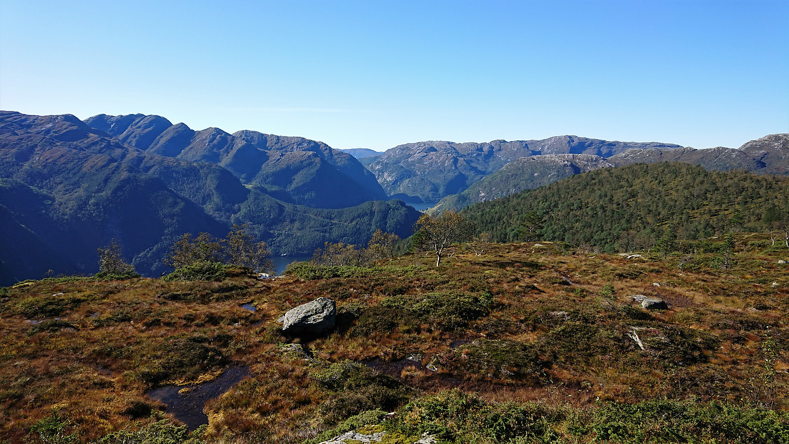
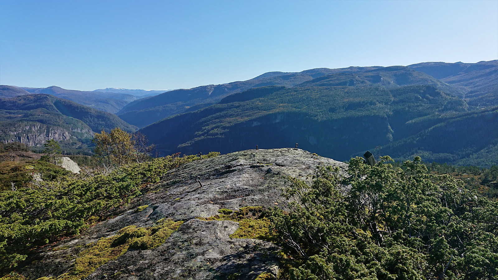
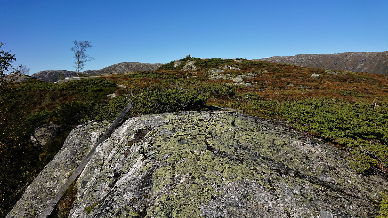
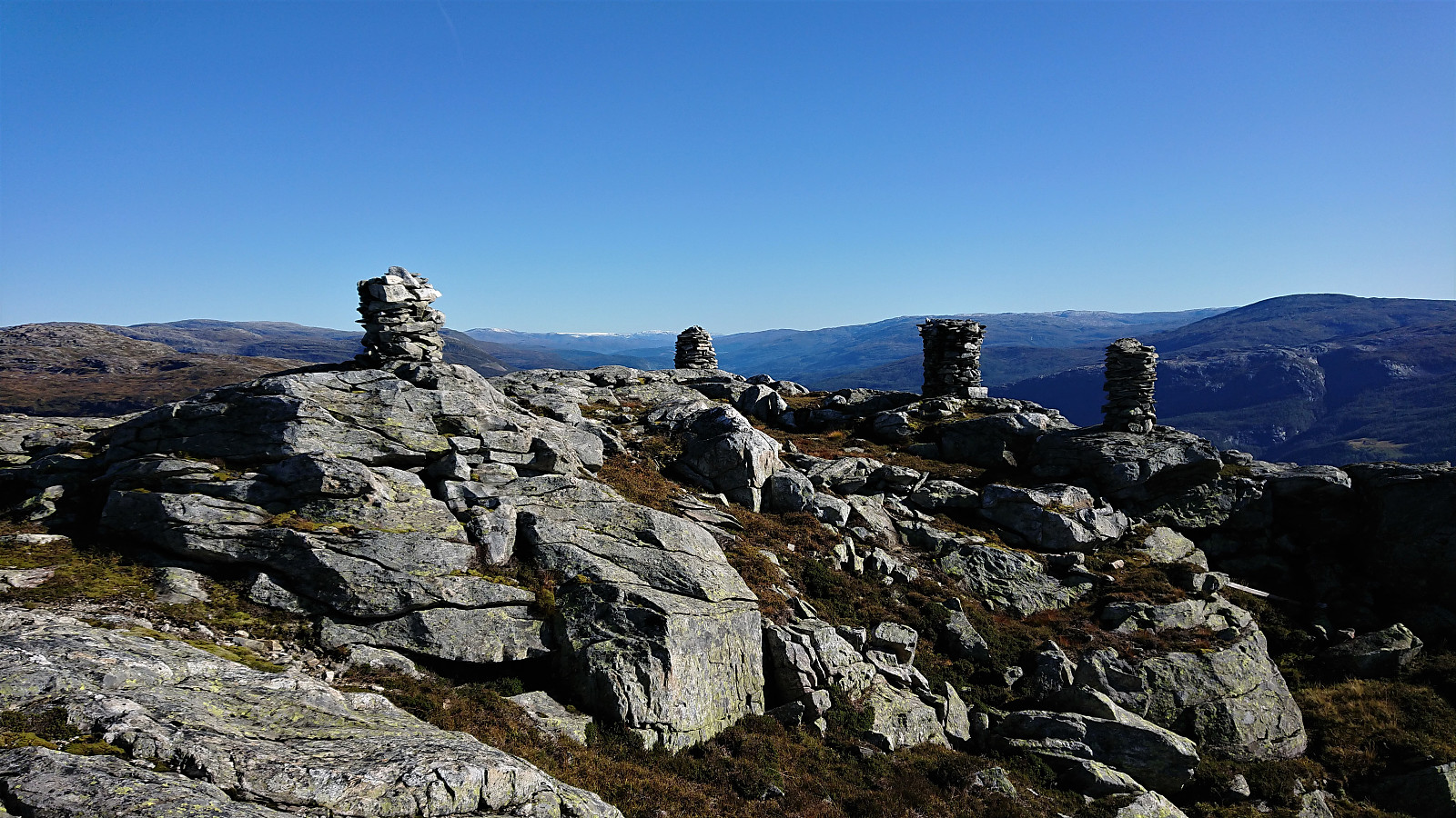
At around 800 meters the terrain flattened out, and from there the summit was easily reached, only requiring a small detour in order to ascend the summit from the west due to a steep cliff towards the south. The summit provided excellent views in all directions, included four(!) large cairns, and a great place to enjoy my lunch before descending along the same route. All that remained was then the walk along the roads back to the train station for the train back to Bergen.
Conclusion
Overall, an excellent hike with great views along the way. Note however that finding a good route to Hatlekinni requires paying close attention to the map in order to avoid terrain that is simply too steep to hike, but if done correctly the summit can be reached without any issues.


| Startzeitpunkt | 21.09.2019 10:49 (UTC+01:00 SZ) |
| Endzeitpunkt | 21.09.2019 16:52 (UTC+01:00 SZ) |
| Gesamtzeit | 6h 02min |
| Zeit in Bewegung | 5h 34min |
| Pausenzeit | 0h 28min |
| Gesamtschnitt | 3,6km/h |
| Bewegungsschnitt | 3,9km/h |
| Entfernung | 22,0km |
| Höhenmeter | 1.235m |


Benutzerkommentare