
Kvitafjellet, Bakkaheii, Stølshorgi and Jonshorgi (08.09.2019)

Written by hbar (Harald Barsnes)

| Start point | Rasdalsvatnet (366m) |
|---|---|
| Endpoint | Rasdalsvatnet (365m) |
| Characteristic | Hillwalk |
| Duration | 7h 50min |
| Distance | 19.3km |
| Vertical meters | 1,227m |
| GPS |
|
| Ascents | Bakkaheii (856m) | 08.09.2019 |
|---|---|---|
| Jonshorgi (643m) | 08.09.2019 | |
| Kvitafjellet (994m) | 08.09.2019 | |
| Stølshorgi (768m) | 08.09.2019 |
Kvitafjellet, Bakkaheii, Stølshorgi and Jonshorgi
Warning: This hike includes a short steep off-trail descent into Tuftedalen that is most likely not to everyone's liking. Consider the track with care!
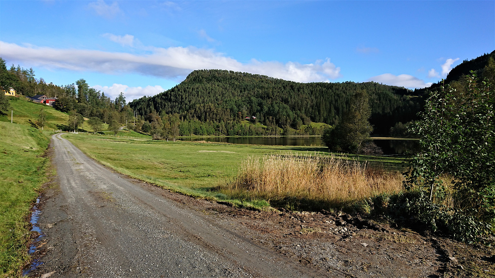
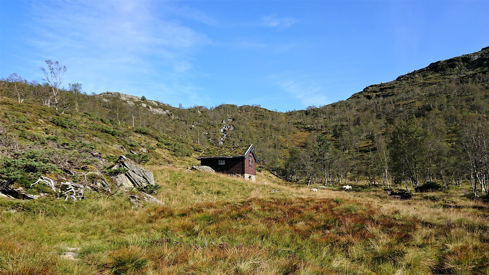
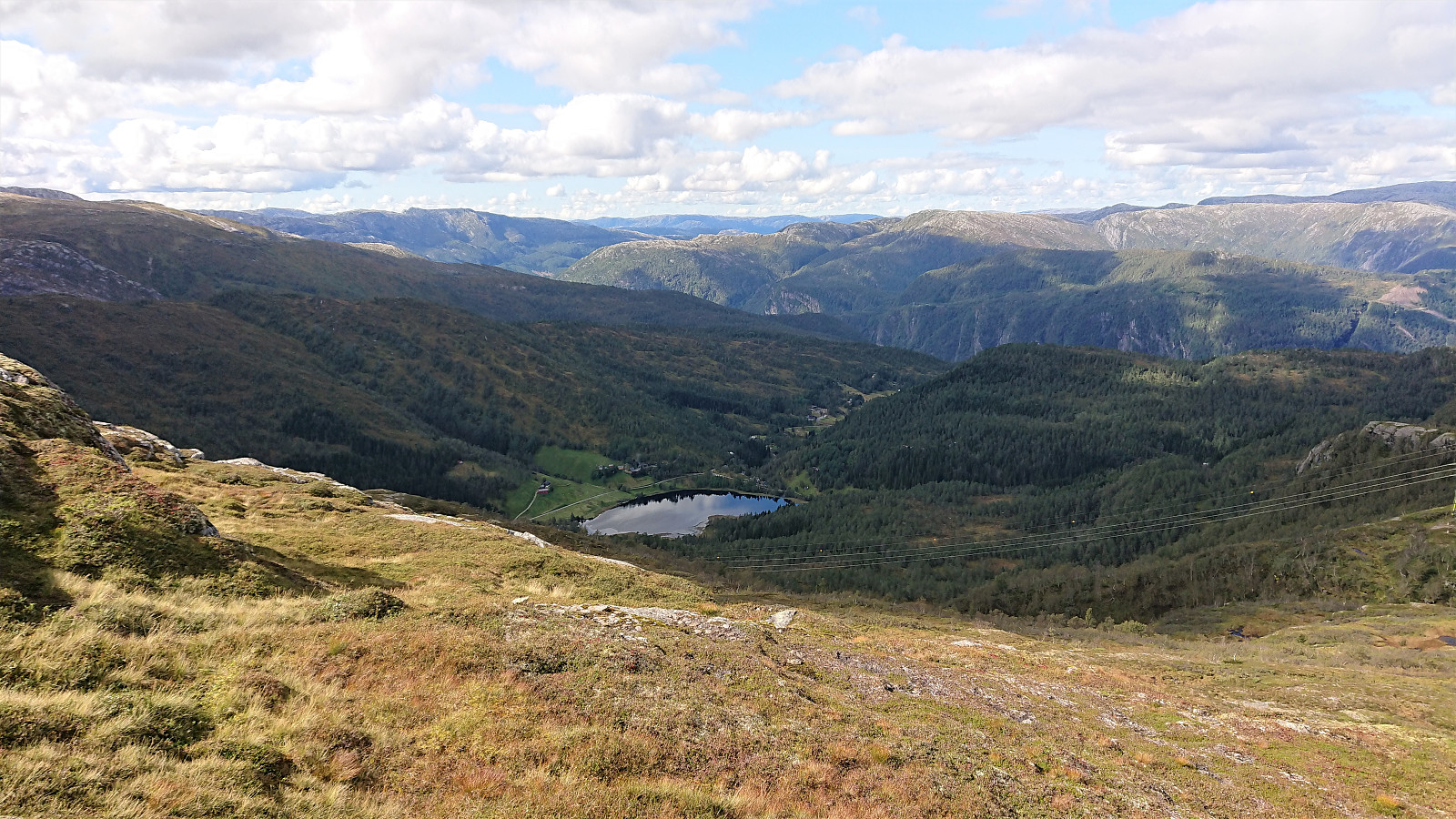
I started by taking the train to Bolstadøyri where I was picked up by a colleague coming by car. This had the benefit that the surprisingly steep and narrow gravel road up to Rasdalen was more quickly covered compared to my initial plan of walking up from the train station. At Rasdalsvatnet, we were asked by a local farmer to pass through a gate and park at a second parking lot 100 meters up the road, as a helicopter pick-up was planned later that same day. The first parking lot is probably the one generally recommended for visitors though.
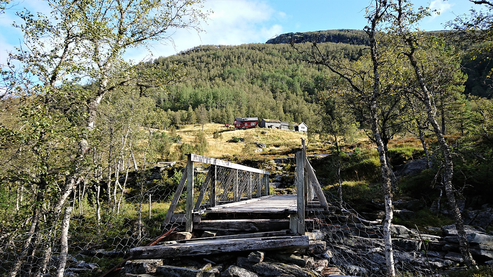
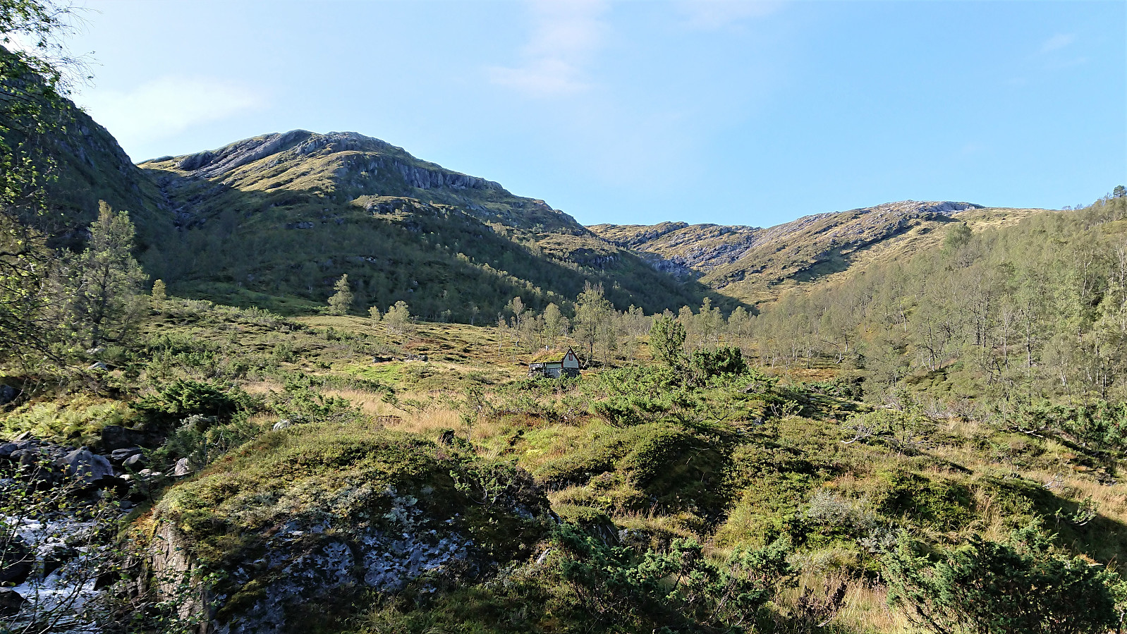
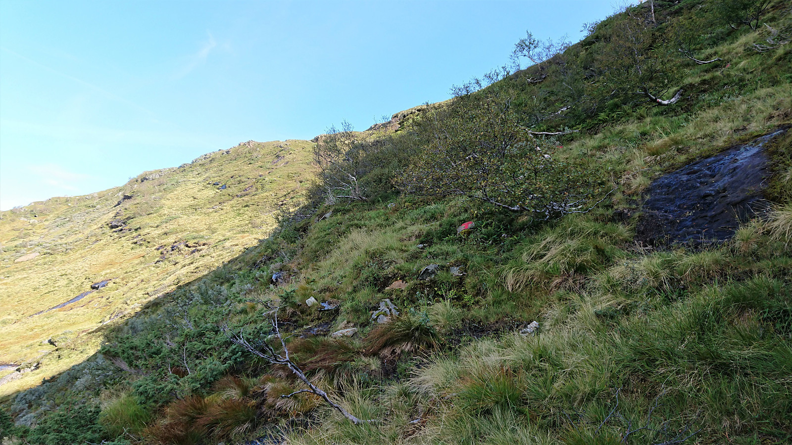
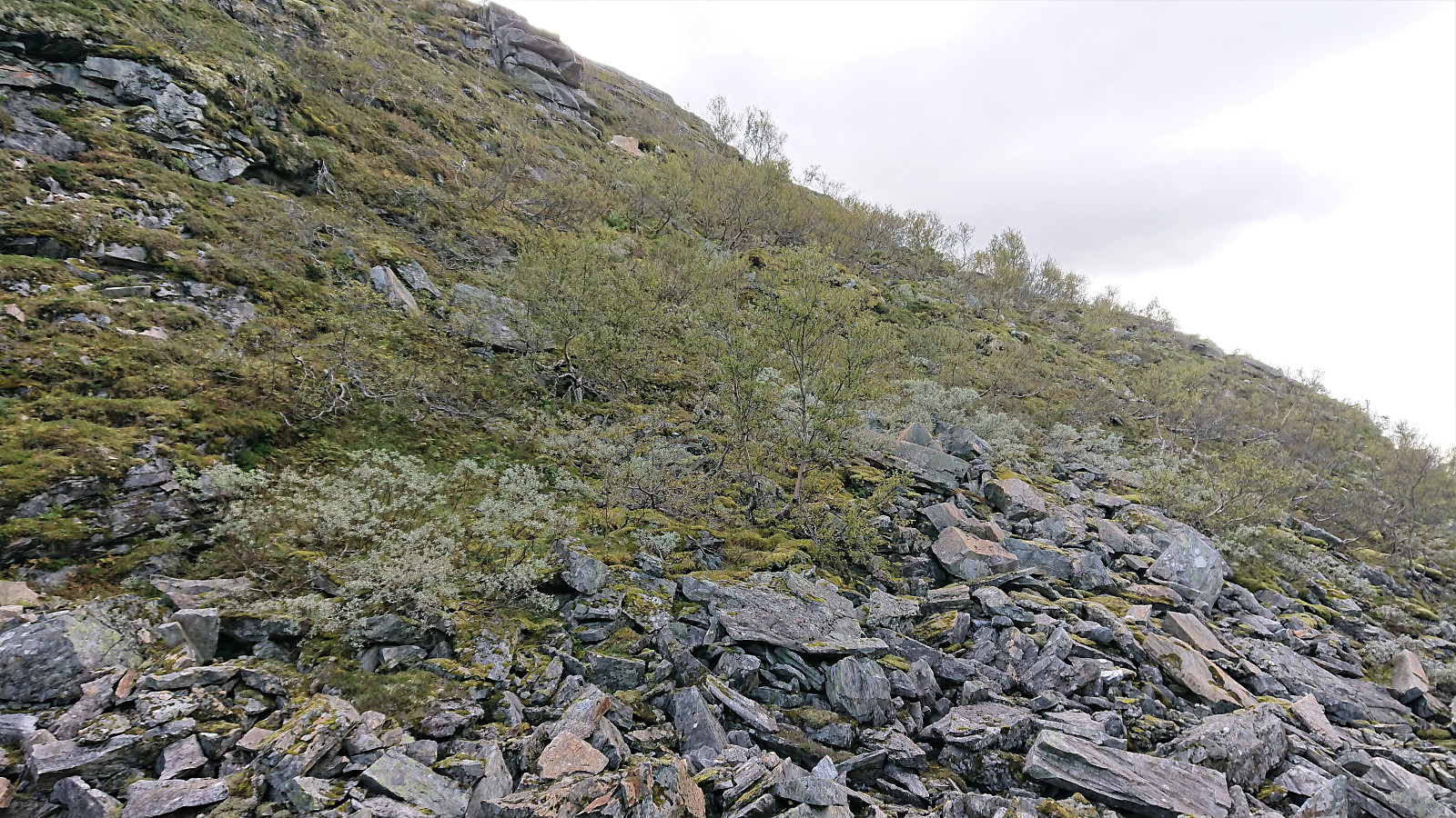
We followed the marked trail along the river, crossing at Røyrbakken, and soon arrived at Vibotnen. The ascent was very comfortable and far from steep, but as we again crossed the river (this time without a bridge) for the trail up to Osskardet, the terrain turned much steeper. The trail was not always easy to spot, but there were lots of newly painted red T's.
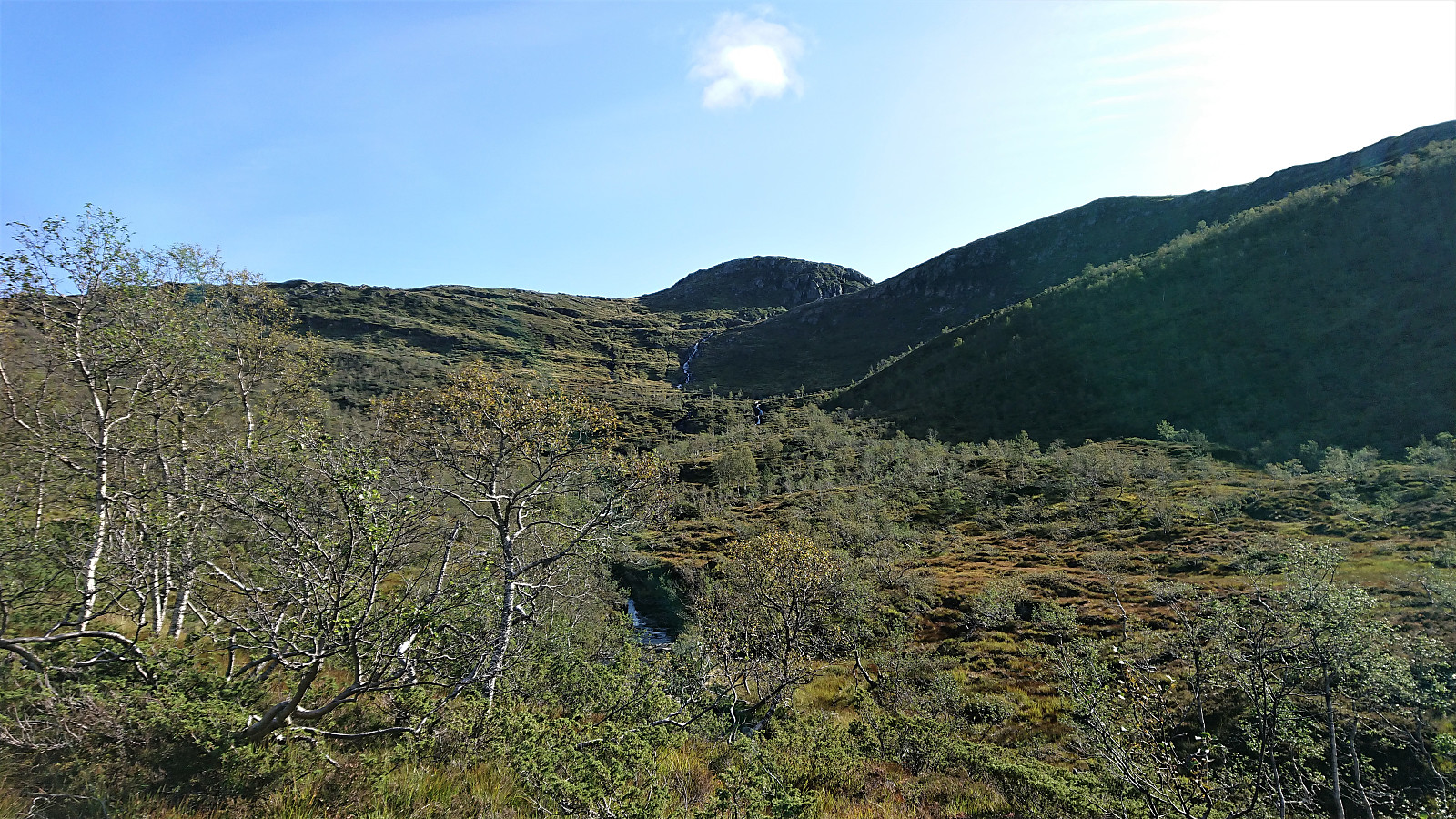
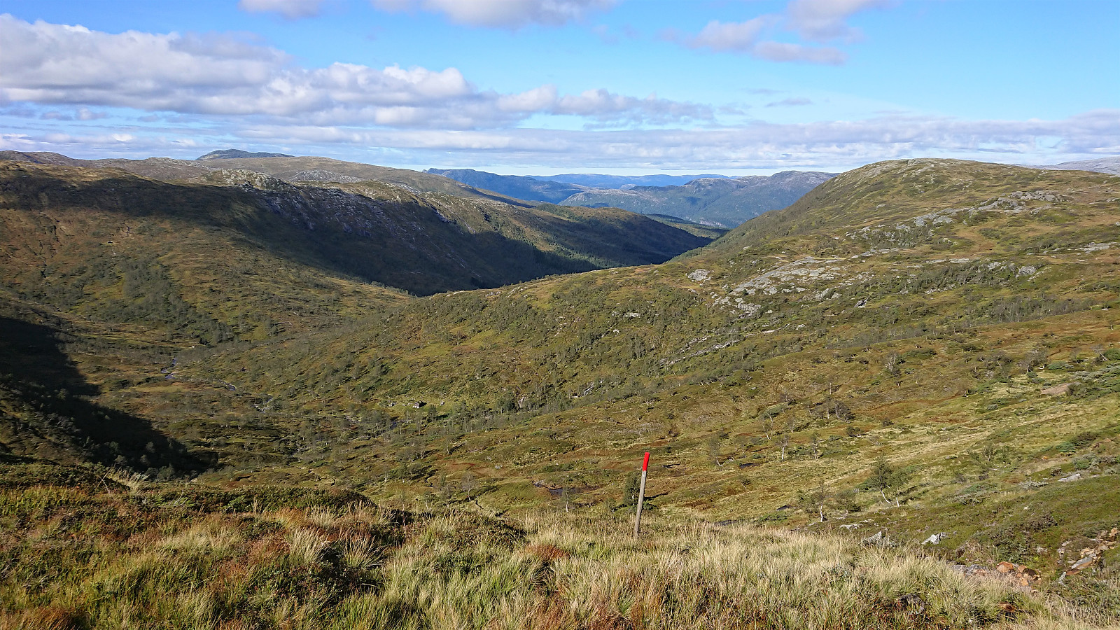
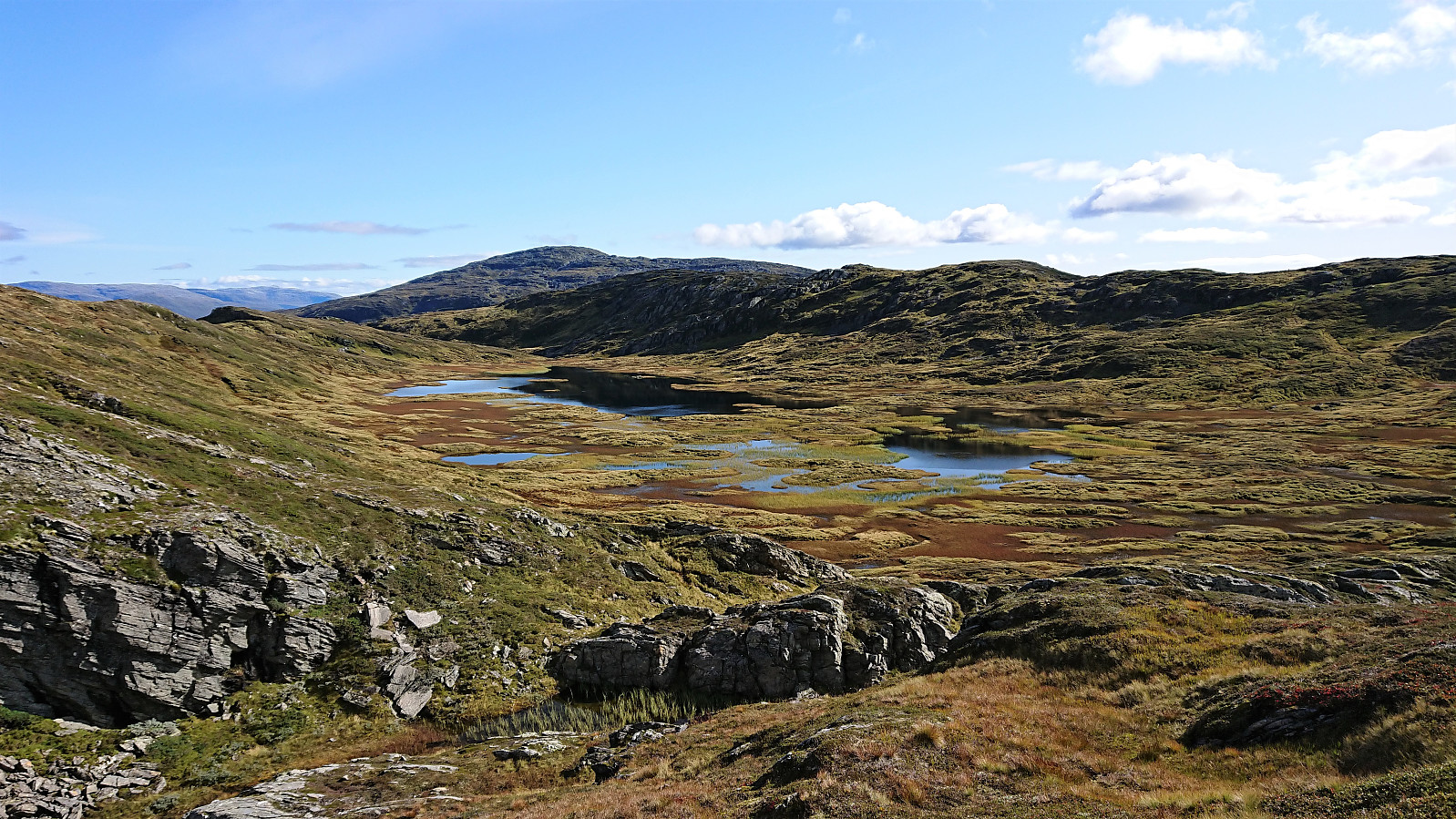
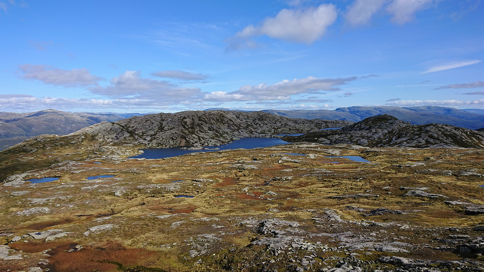
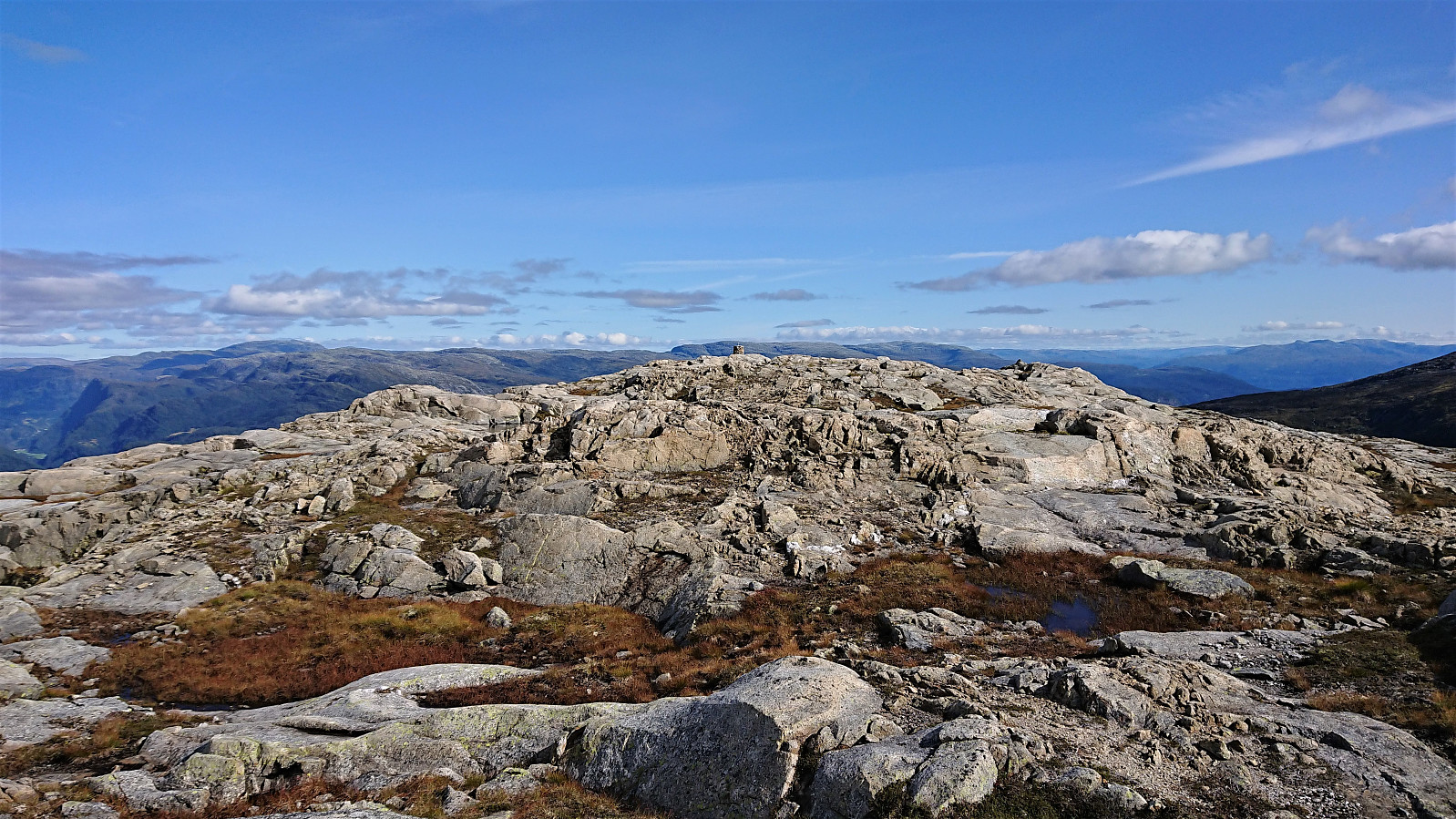
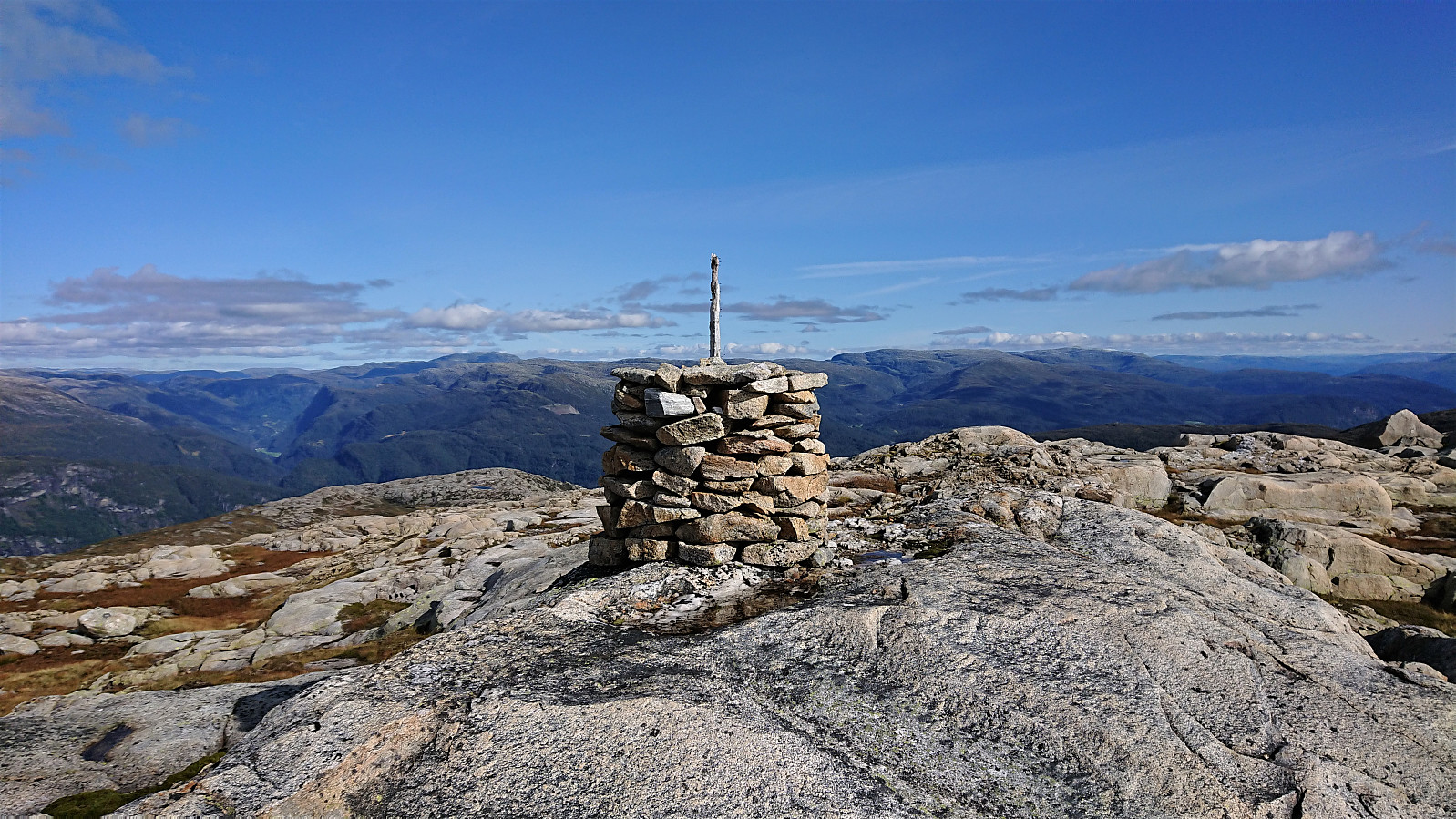
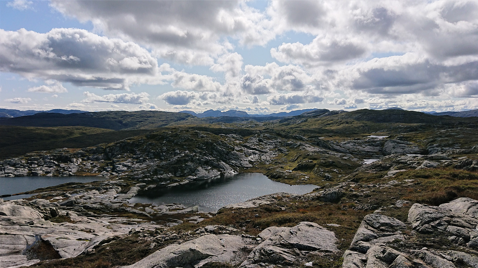
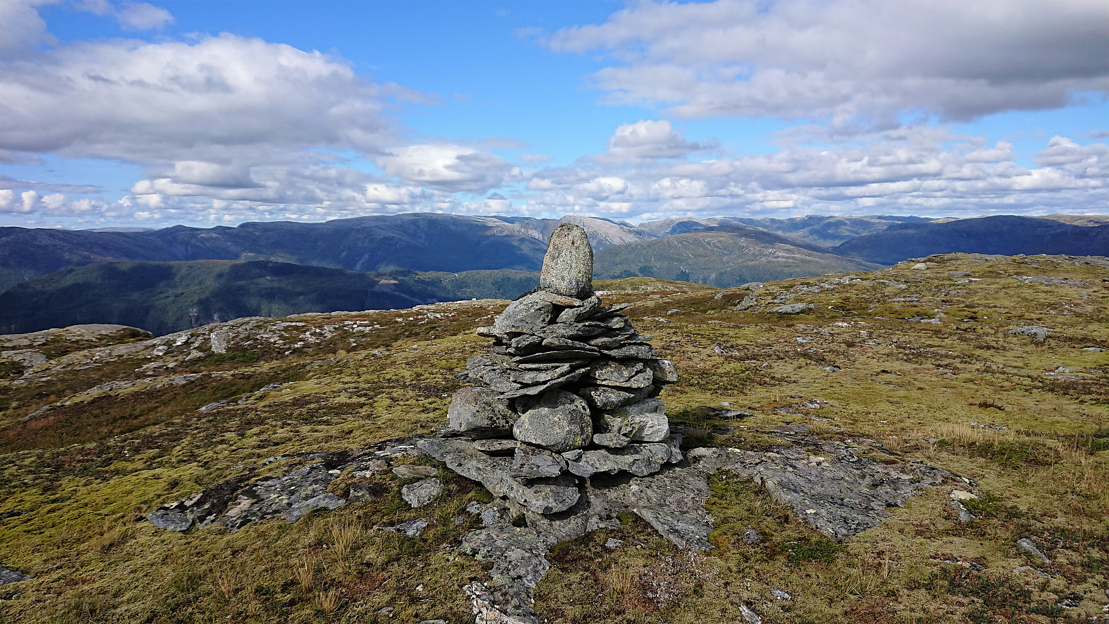
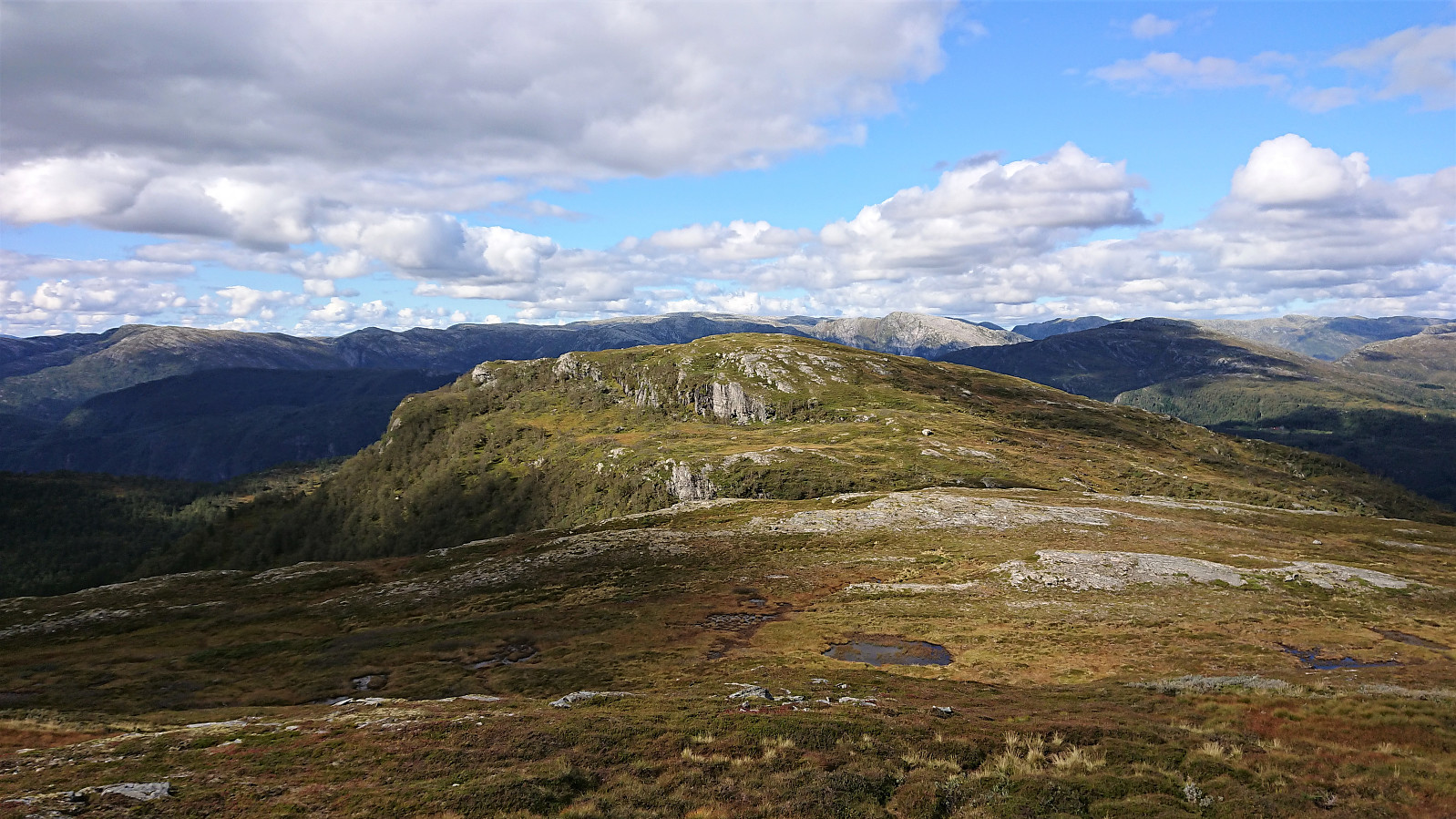
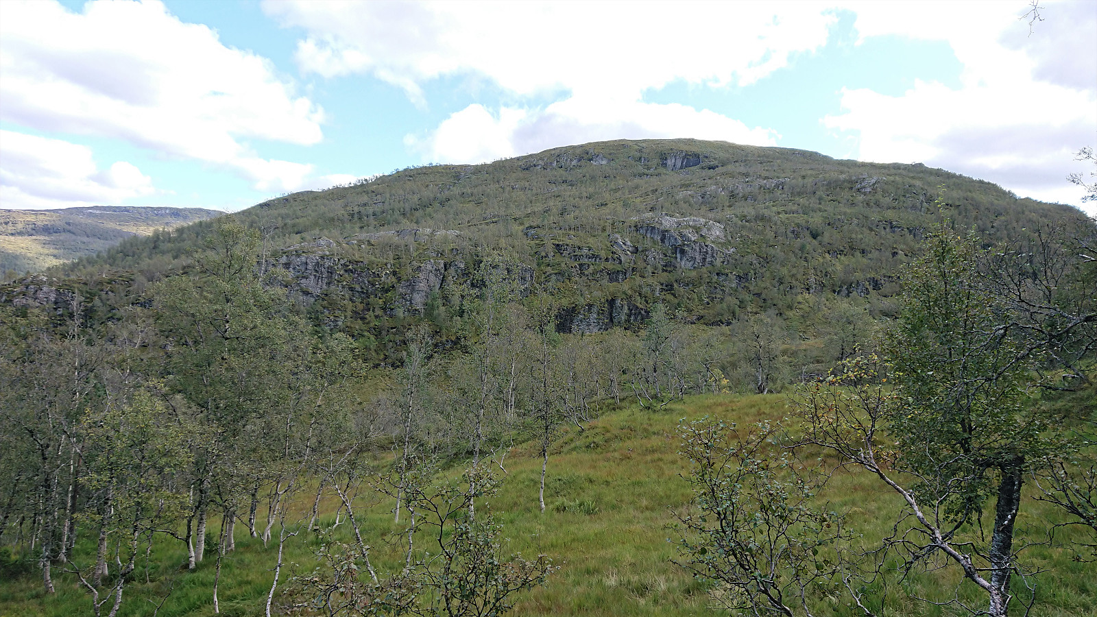
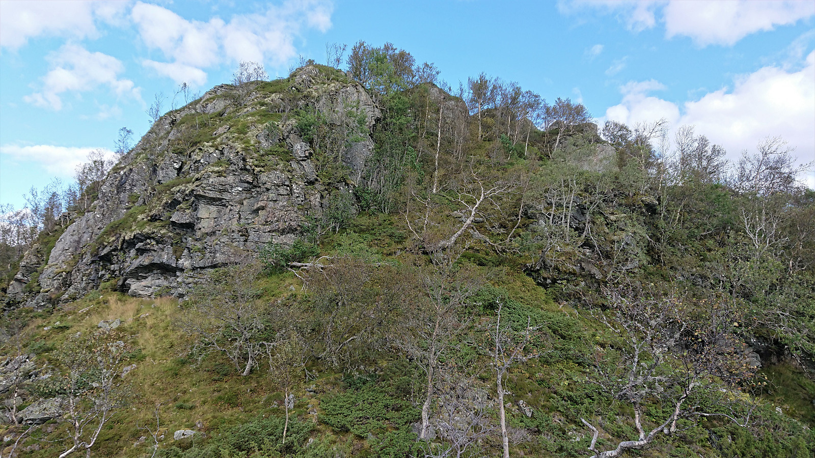
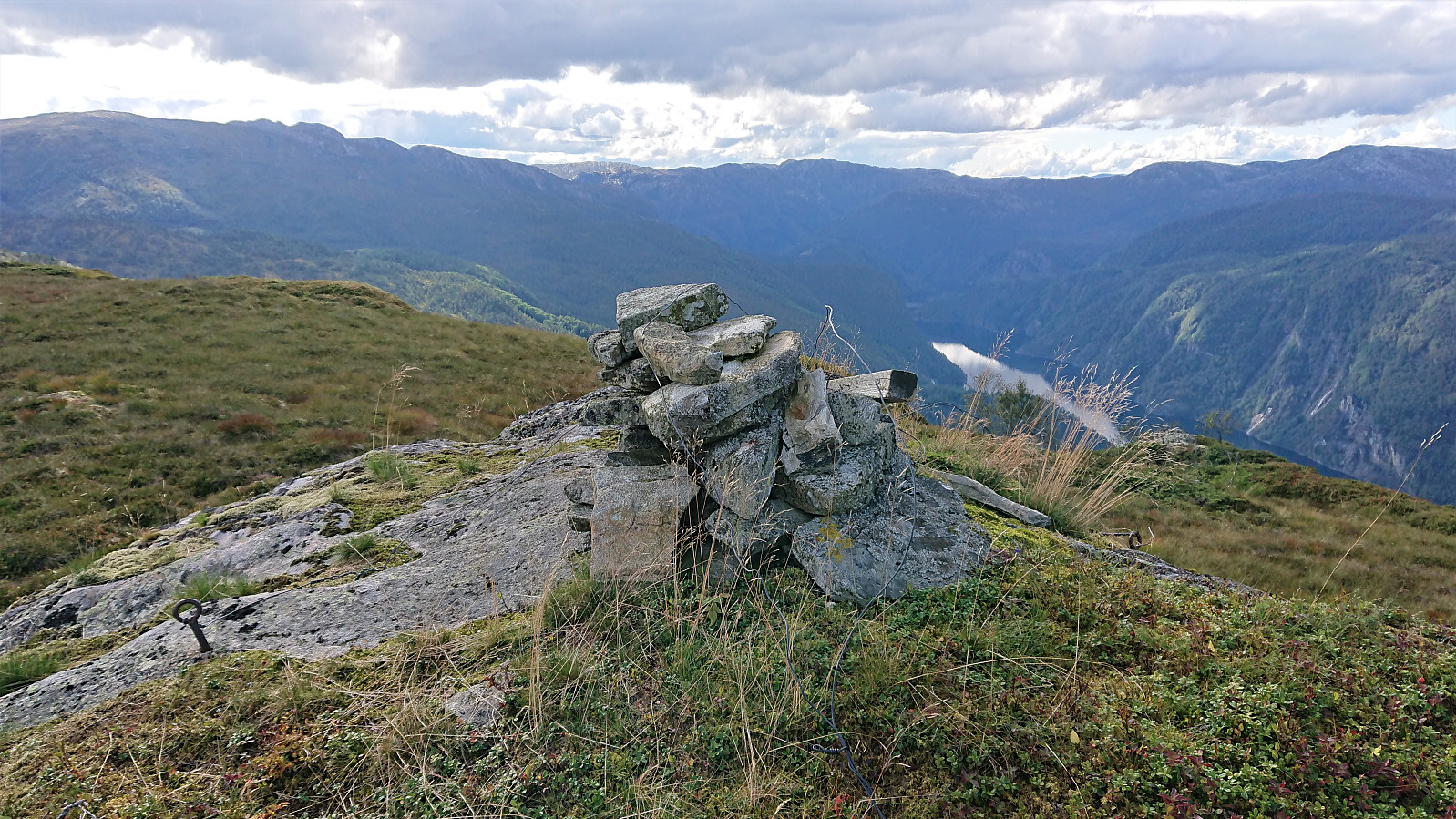
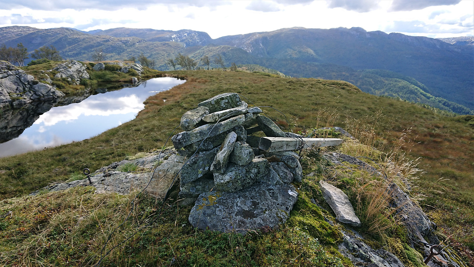
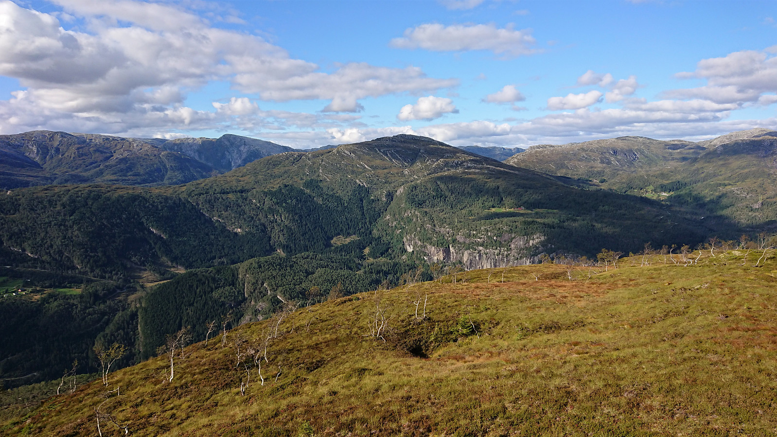
At the top of Osskardet the trail continued east, with no trails towards Kvitafjellet. We tried heading to Osskardtjørni before turning north, but ended up with some light climbing, before finally aiming more directly for the summit. Probably easier to turn north earlier. The cairn at Kvitafjellet was easily reached, providing nice views in all directions, which we enjoyed during a quick lunch.
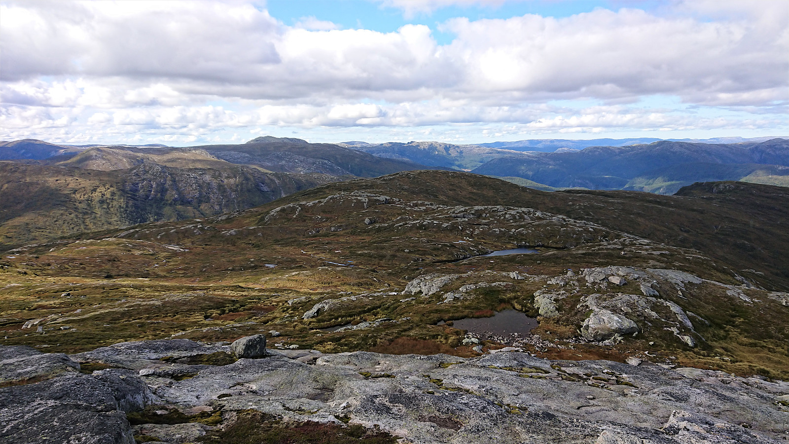
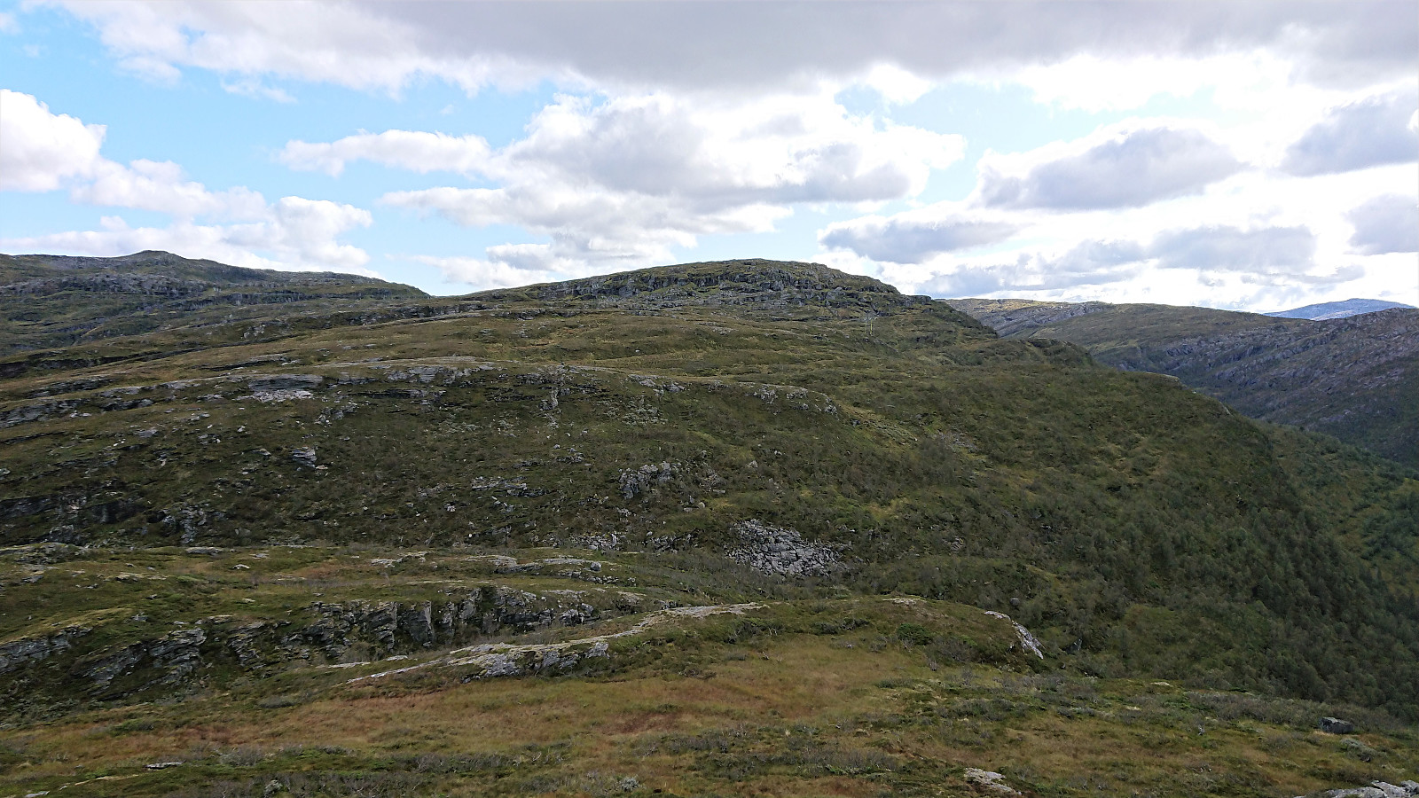
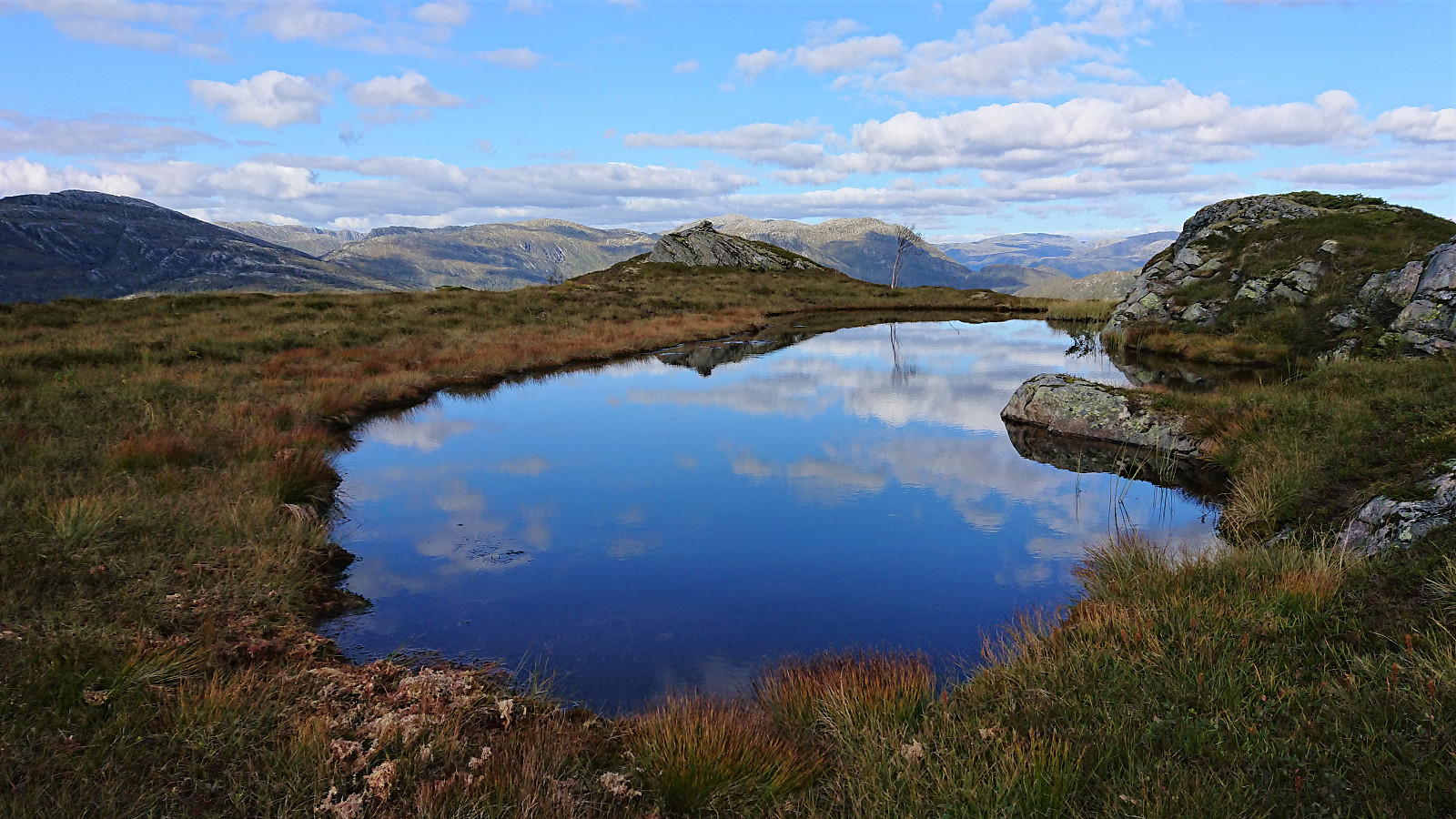
Given that we also planned on visiting Jonshorgi, we now had two options. Either return the same way down to Rasdalsvatnet, and from there ascend to Jonshorgi, or follow the ridge northwest in a more direct route towards Jonshorgi. We decided on the latter and the first part was easy enough, we even came across a weak trail at times, passing north of Nukatjørni and passing over Øykjabotseggane before arriving at Bakkaheii. Overall our progress was ok, but there were several small cliffs that had to be avoided, resulting in numerous small detours.
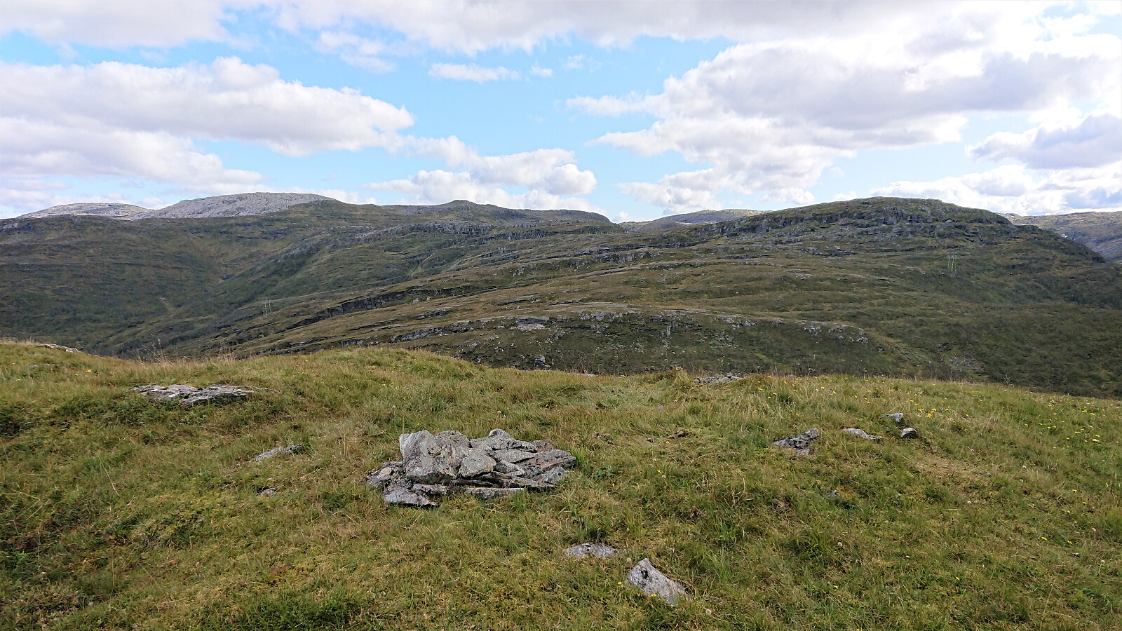
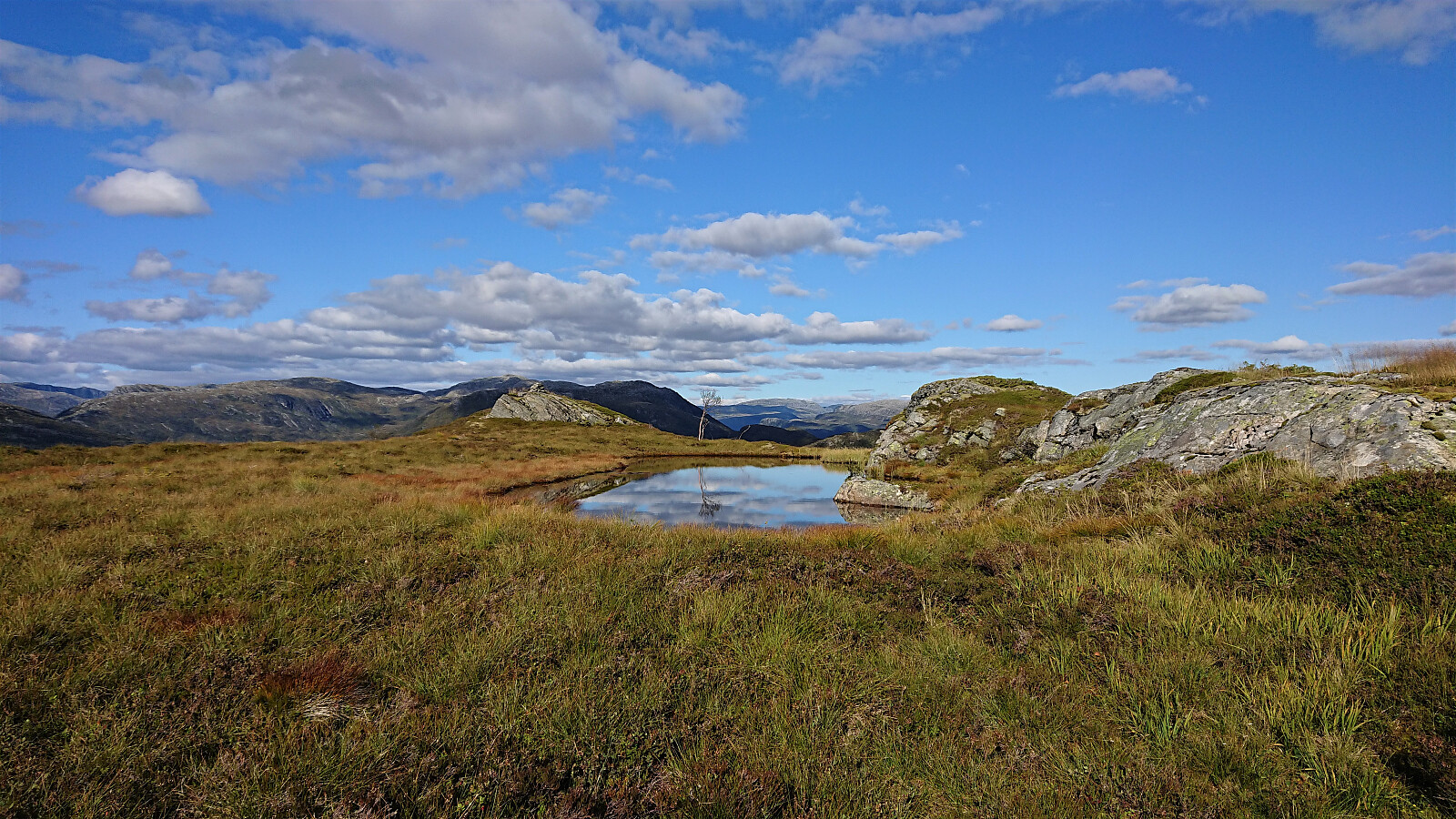
From Bakkaheii we followed a weak trail northeast, given that heading straight for Stølshorgi was not possible due to the steep terrain. When the trail seemed to continue northeast to Vikastølen, we instead turned northwest and made our own way in the direction of Stølshorgi. This included a rather steep descent into the valley south of Stølshorgi, in which we probably did not take the easiest route, but we still made it into the valley without any real difficulties.
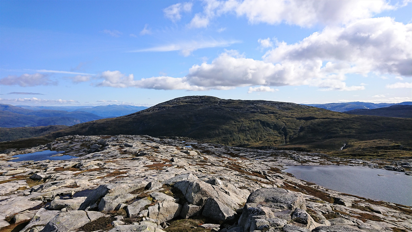
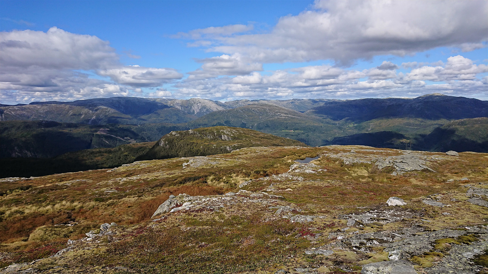
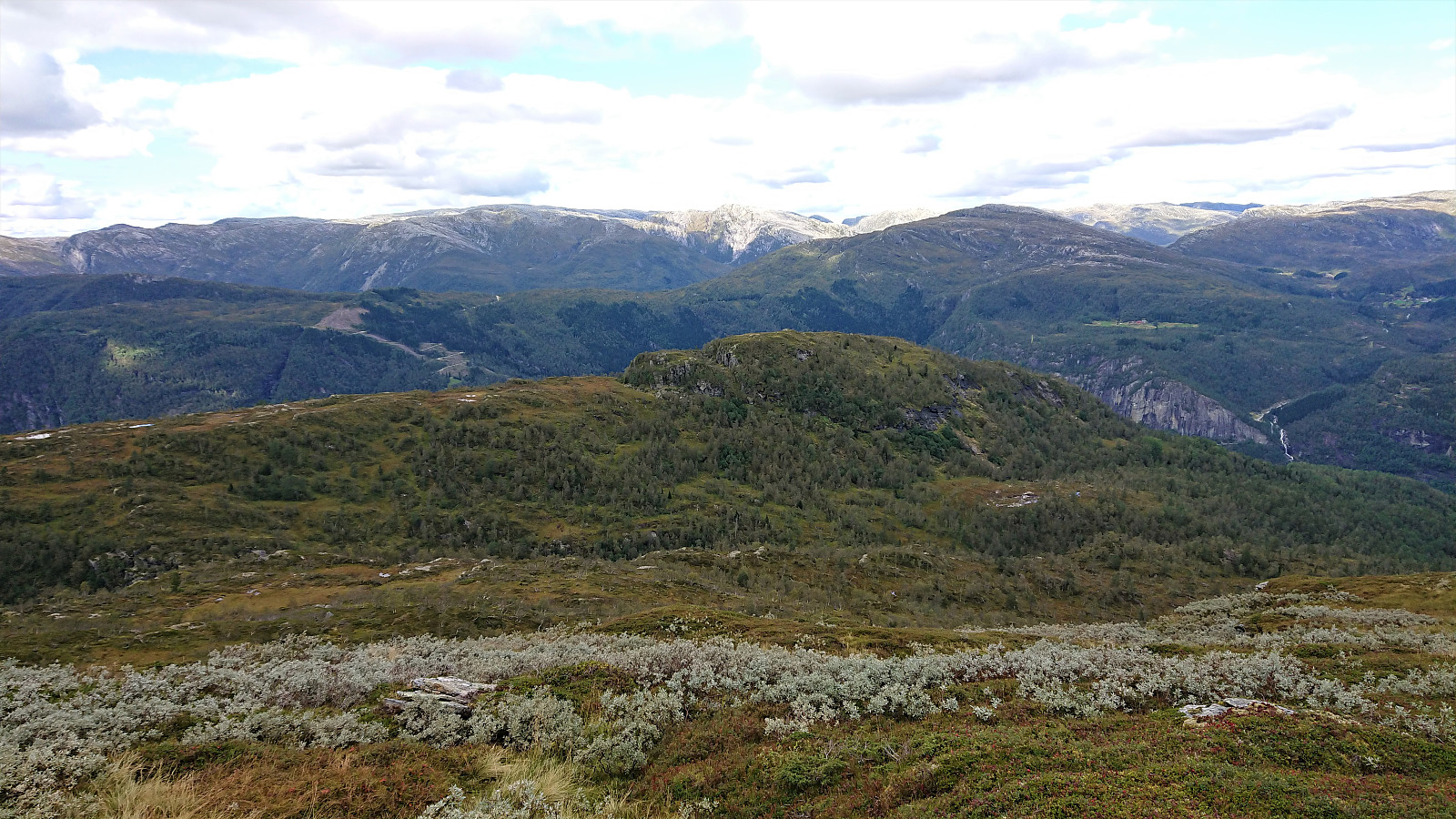
Getting from the valley up to Stølshorgi was easy, and the summit provided an excellent view towards our final goal of the day: Jonshorgi. We did not stay long before starting our descent, which, after avoiding a steep cliff at the start, was relatively straightforward. There was however one big open question remaining: Would we be able to get down into Tuftedalen without a long detour?
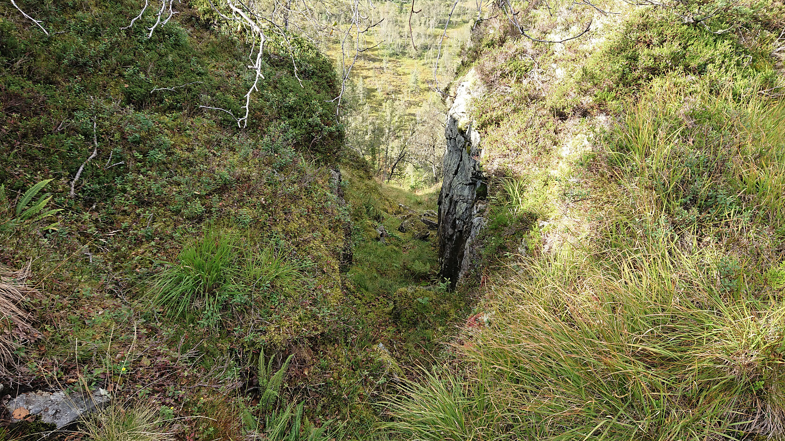
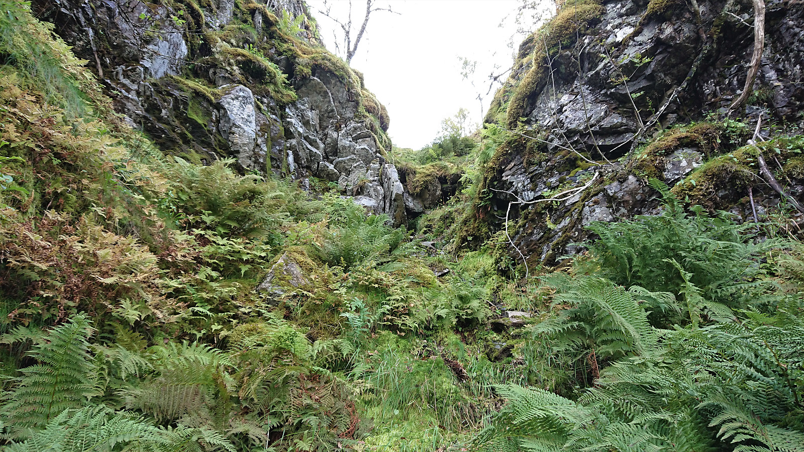
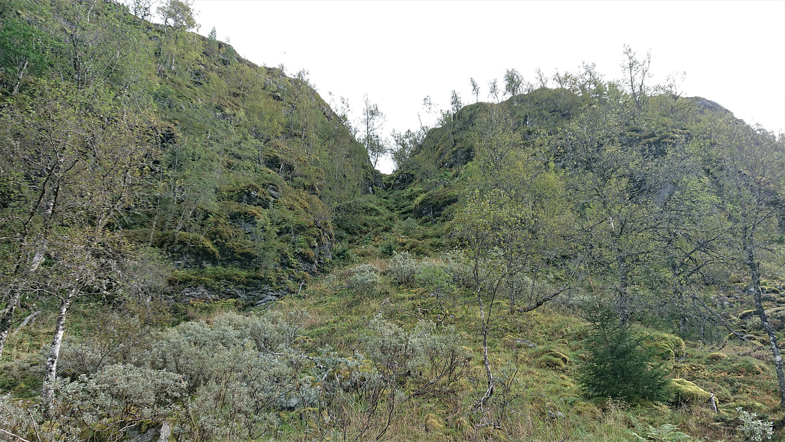
A closer inspection of the map indicated that there was one potential opening in the otherwise steep cliff between us and Tuftedalen, a small gorge almost directly southeast of the summit of Jonshorgi. It would still be steep, but hopefully not too steep? Our hopes increased as we saw the top of the gorge, and the first couple of meters was indeed straightforward. But then we came across a more than two meters vertical drop with limited grips for climbing and with a relatively steep descent with slippery footing below.
But after our first disappointment, and a closer inspection of the drop, we managed to find a safe way to descend after all, and from there on, the descent, while still relatively steep and slippery, did not provide any real difficulties. Note that this descent will clearly not be to everyone's liking though, and if I was hiking on my own I would probably have taken the longer detour instead.
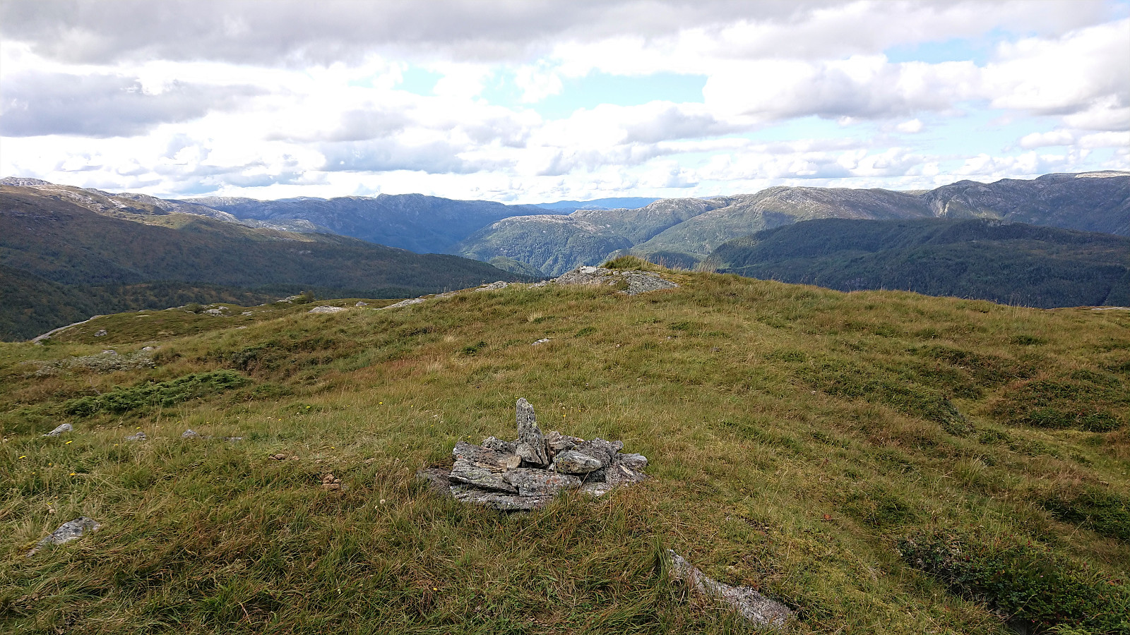
The map now indicated that we would hit a trail if heading towards Jonshorgi, but we did not see any traces of it. When reaching the ridge south of the summit we were also a bit confused as to how to get up to the summit, as we were faced with a relatively steep cliffside, but in the end we found a weak trail heading more or less along the ridge, passing around another steep cliffside on the way.
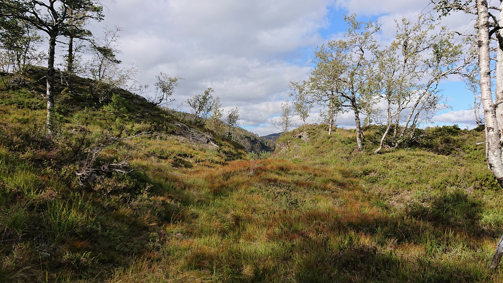
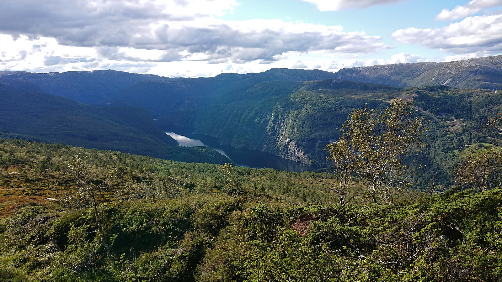
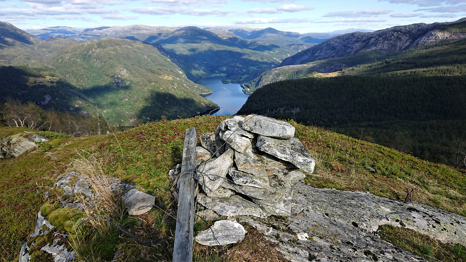
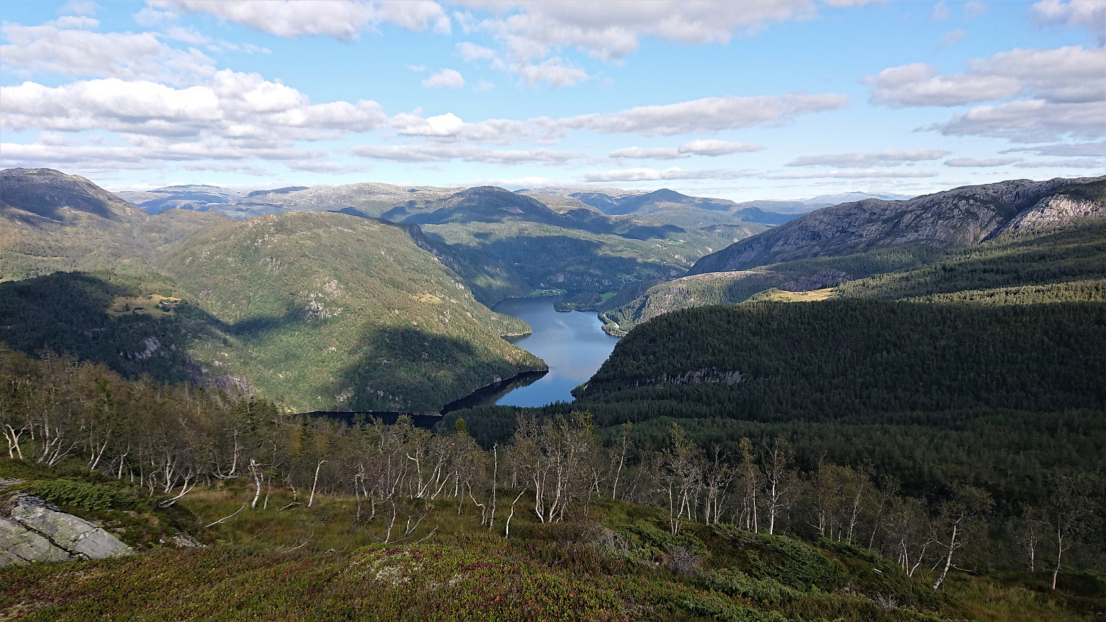
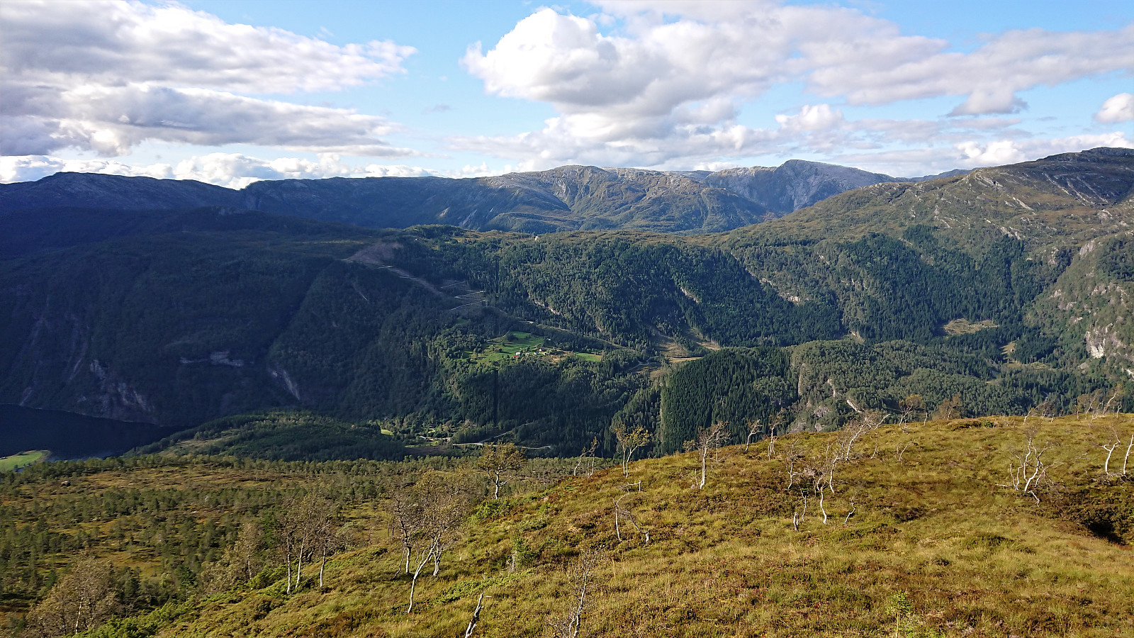
Jonshorgi provided excellent views, especially towards Evangervatnet, and we enjoyed a second short lunch before starting our descent. The descent turned out to be more complicated than expected though as we continued too far southwest along the ridge, thus finding it difficult to get down into Tuftedalen. In the end we did reach the small river, which we followed until reaching the houses at Tuftene, from where we could simply walk along the roads back to the parking lot.
In summary, I guess only the first half of this hike can really be recommended. As it started out very nice along the marked trail up Rasdalen, and Kvitafjellet was also easily reached. Our route from Kvitafjellet to Jonshorgi was however both longer and tougher than expected, and while we did manage to find a descent into Tuftedalen, most hikers will probably be better off returning along the marked trail to Rasdalsvatnet and rather ascend Jonshorgi from there. And hopefully finding a better route in Tuftedalen than we did.
| Start date | 08.09.2019 09:57 (UTC+01:00 DST) |
| End date | 08.09.2019 17:48 (UTC+01:00 DST) |
| Total Time | 7h 50min |
| Moving Time | 6h 50min |
| Stopped Time | 0h 59min |
| Overall Average | 2.5km/h |
| Moving Average | 2.8km/h |
| Distance | 19.3km |
| Vertical meters | 1,227m |


User comments