
Wenzelstein (28.08.2019)

Written by hbar (Harald Barsnes)

| Start point | Schloss Dagstuhl (272m) |
|---|---|
| Endpoint | Schloss Dagstuhl (272m) |
| Characteristic | Bike trip - mixed |
| Duration | 1h 30min |
| Distance | 13.5km |
| Vertical meters | 351m |
| GPS |
|
| Ascents | Wenzelstein (520m) | 28.08.2019 13:59 |
|---|
Wenzelstein
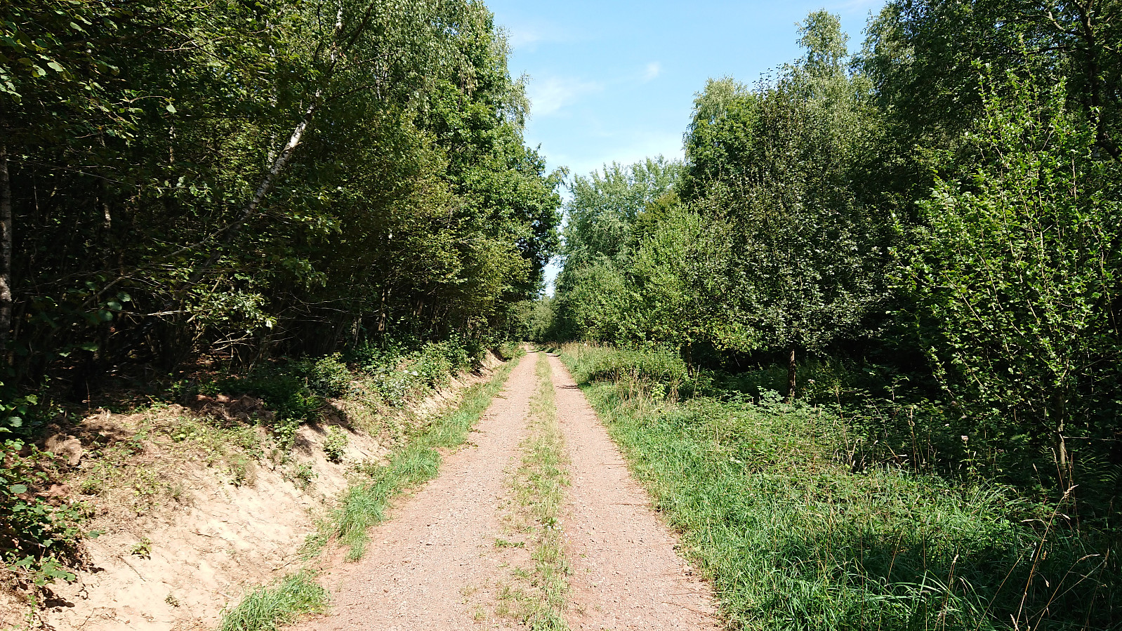
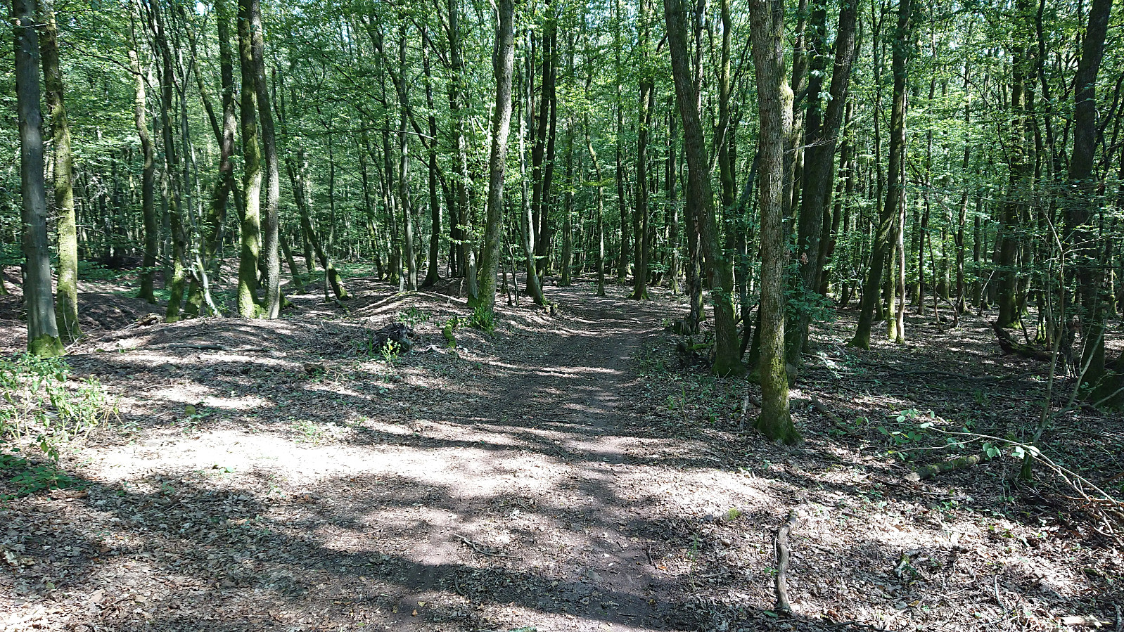
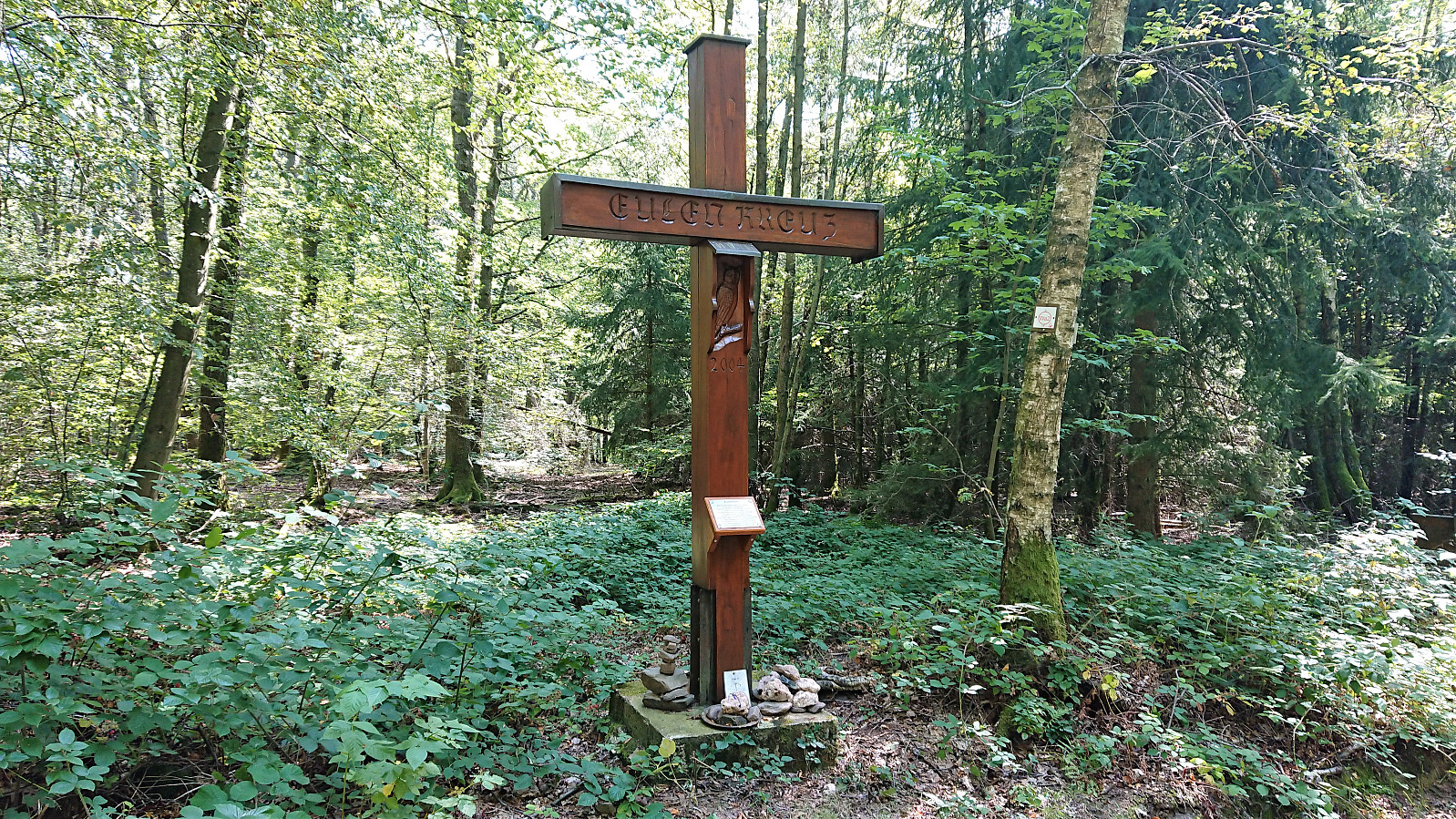
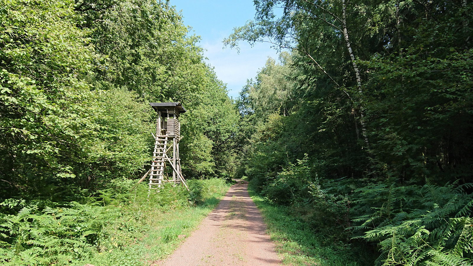
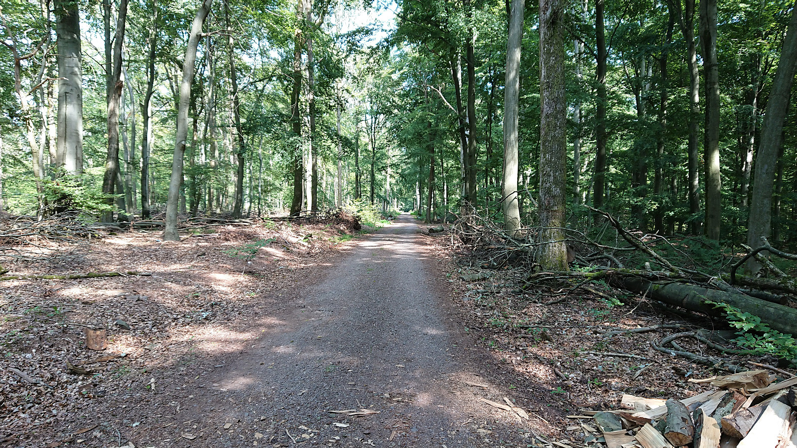
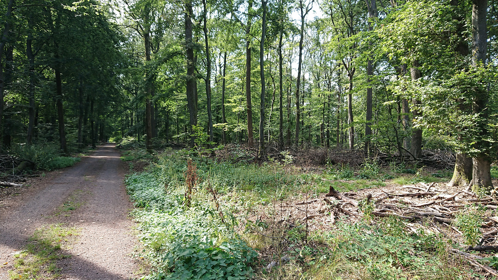
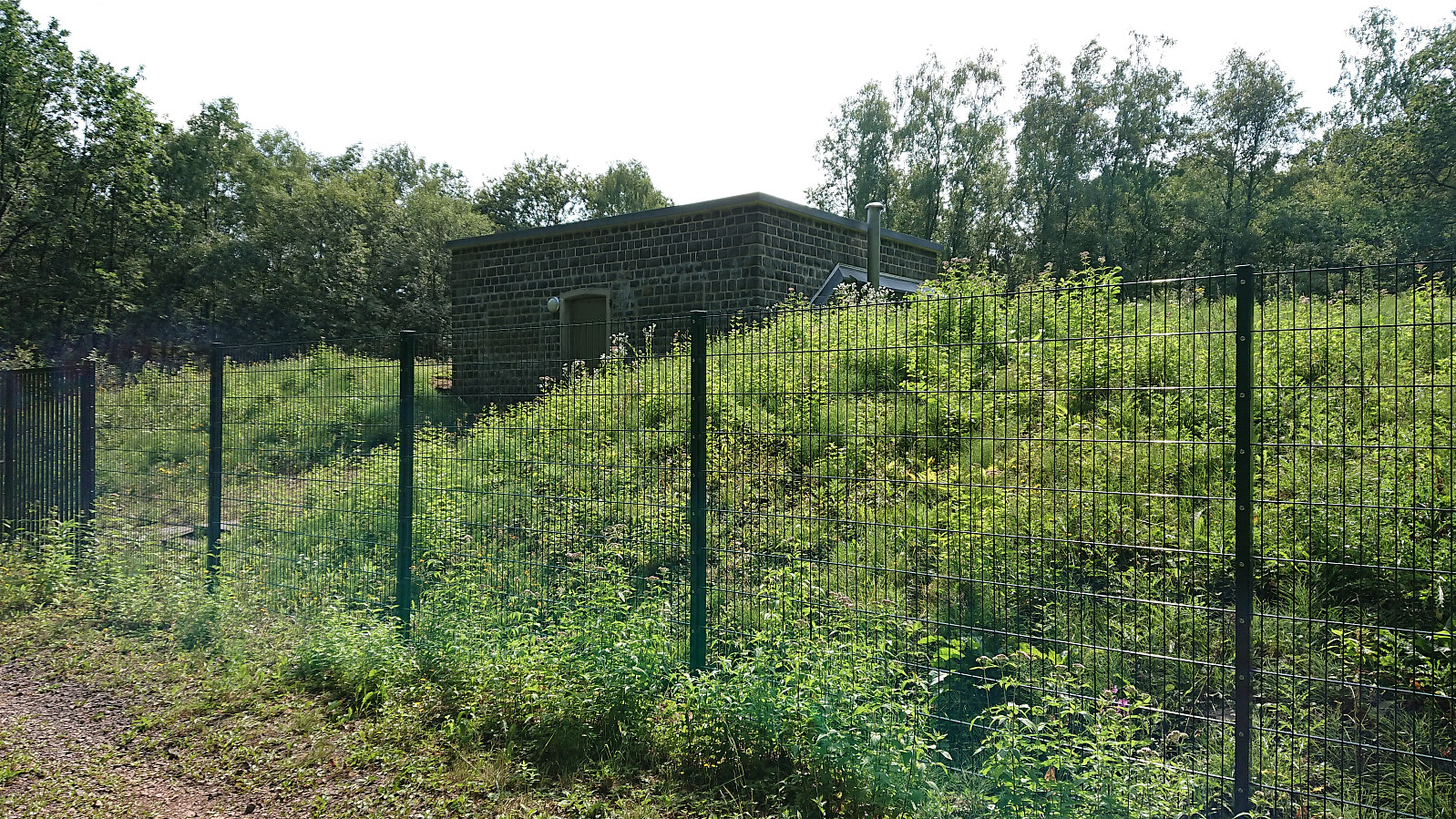
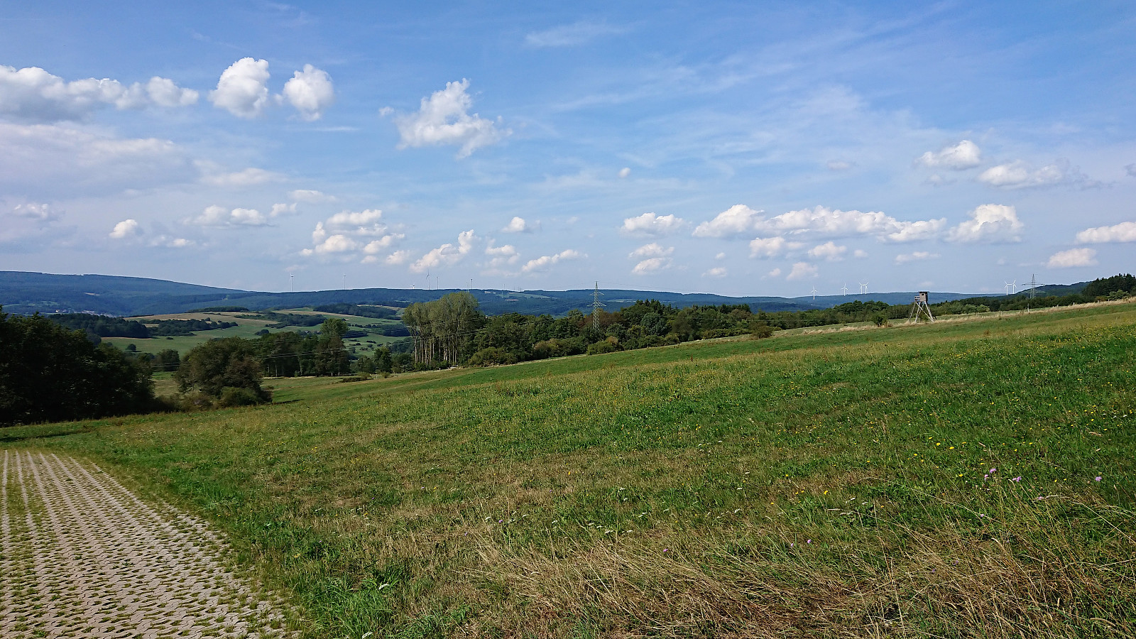
Short bike ride while at a meeting at Schloss Dagstuhl in Germany, with road quality ranging from nice forest roads to rougher tractor roads, mostly the former though. On the way to Wenzelstein I came across Eulenkreuz. The summit itself was harder to locate and unmarked, but in the end I concluded that the highest point had to be around the small water tank (says "wasserhochbehälter" on the map) 100 meters or so west of where the highest point seems to be according to the map. Limited views for most of the trip, including the summit.
| Start date | 28.08.2019 14:00 (UTC+01:00 DST) |
| End date | 28.08.2019 15:30 (UTC+01:00 DST) |
| Total Time | 1h 30min |
| Moving Time | 1h 30min |
| Stopped Time | 0h 0min |
| Overall Average | 9.0km/h |
| Moving Average | 9.0km/h |
| Distance | 13.5km |
| Vertical meters | 351m |
Note the track is created from memory as my GPS refused to work properly.


User comments