
Veten, Skaftefjellet and Loddo (21.08.2019)

Geschrieben von hbar (Harald Barsnes)

| Startpunkt | Bekkjarvik |
|---|---|
| Endpunkt | Bekkjarvik |
| Tourcharakter | Bergtour |
| Tourlänge | 7h 50min |
| Entfernung | 29,1km |
| Höhenmeter | 1.257m |
| GPS |
|
| Besteigungen | Loddo (243m) | 21.08.2019 |
|---|---|---|
| Skaftefjellet (232m) | 21.08.2019 | |
| Veten på Huftarøy (212m) | 21.08.2019 | |
| Besuche anderer PBE | Gapahuken på Vinnes (56m) | 21.08.2019 |
| Skatefjellet (196m) | 21.08.2019 |
Veten, Skaftefjellet and Loddo
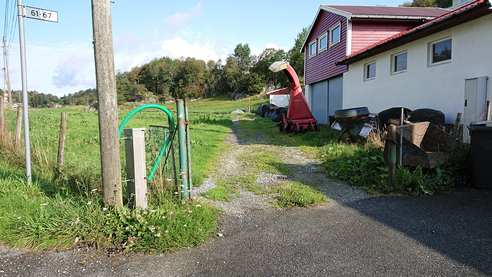
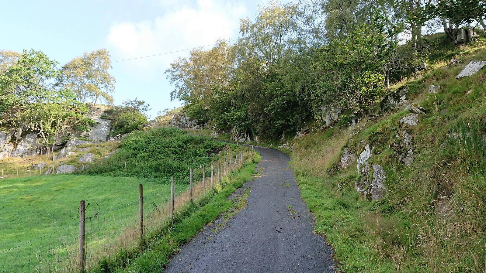
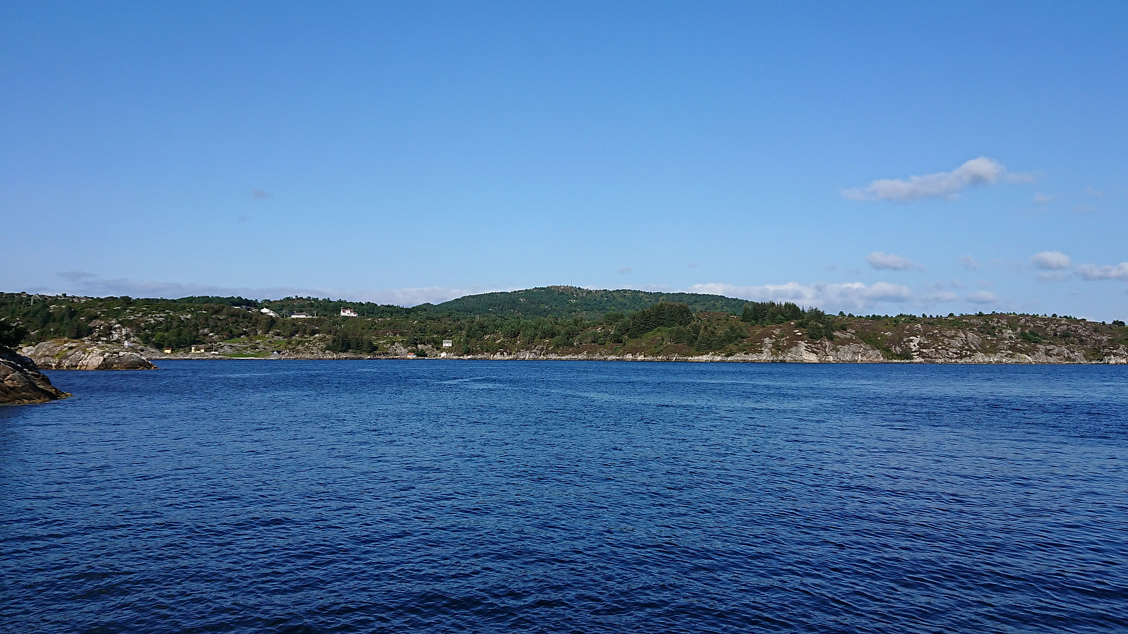
Not the best weather for hiking so far for this last week of my late summer holiday. So when the Wednesday forecast was finally showing better conditions, I got up early in the morning and took the first boat from Strandkaiterminalen in Bergen to Bekkjarvik. The first part of the hike consisted of walking along the road to the start of the trail towards Veten north of Ugleneset. No sidewalks except for at the very beginning, but thankfully the amount of traffic was limited.
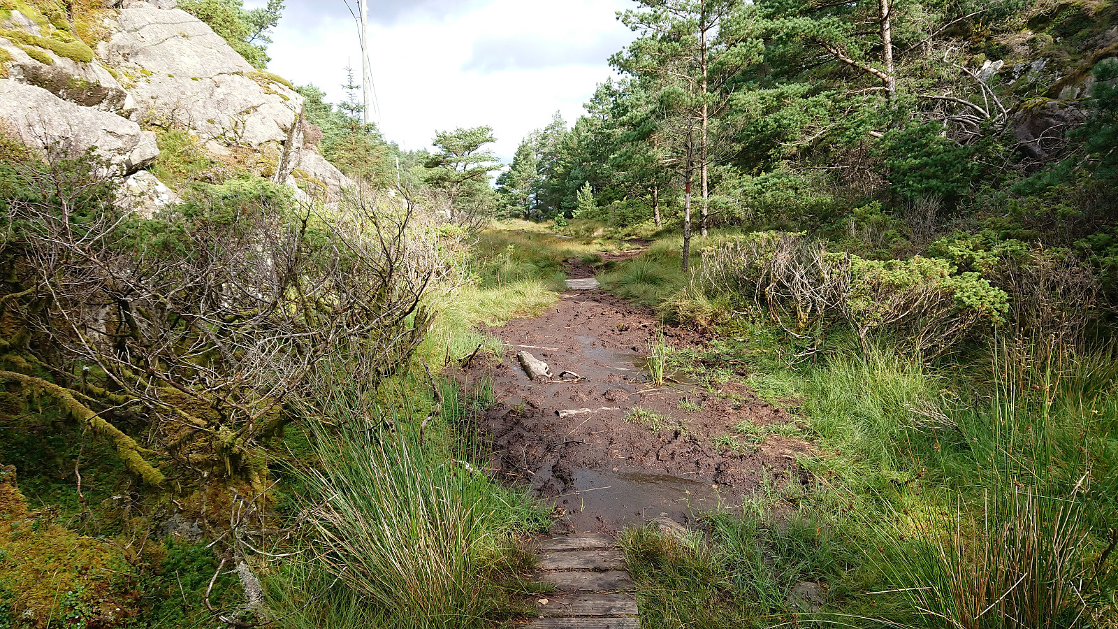
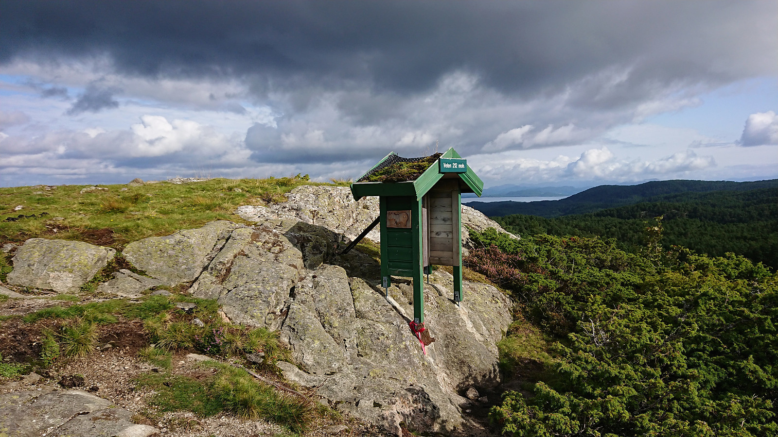
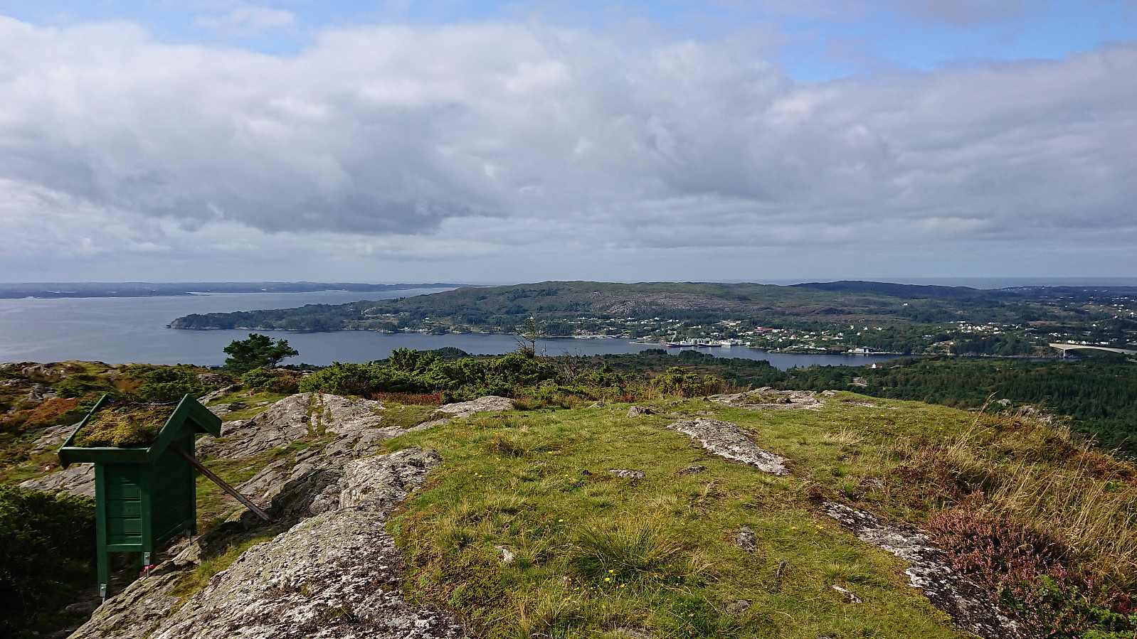
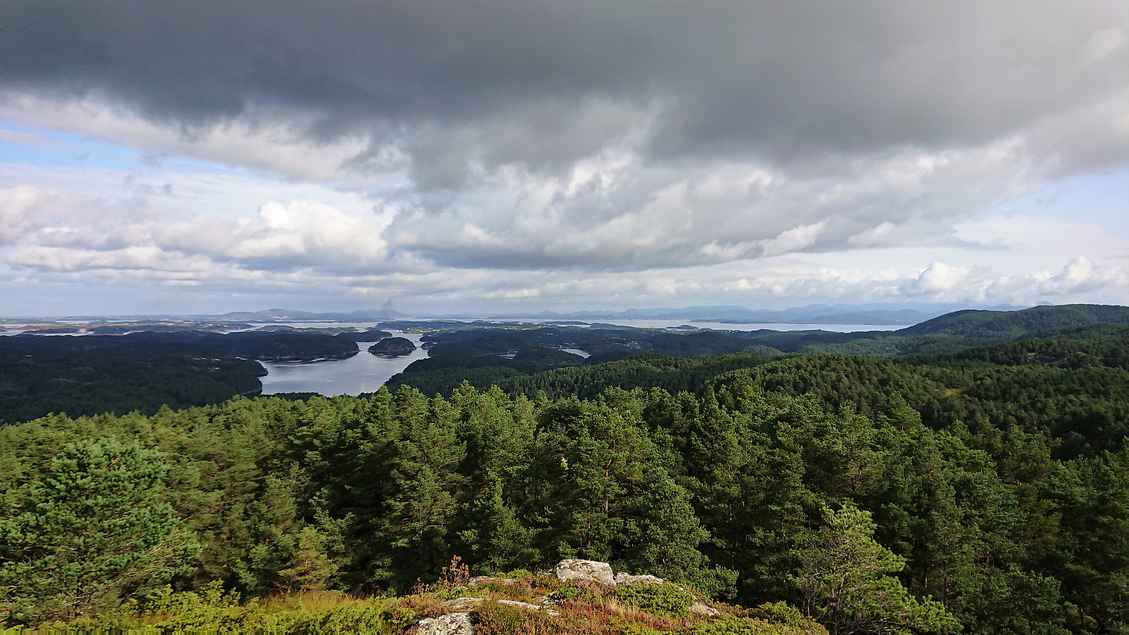
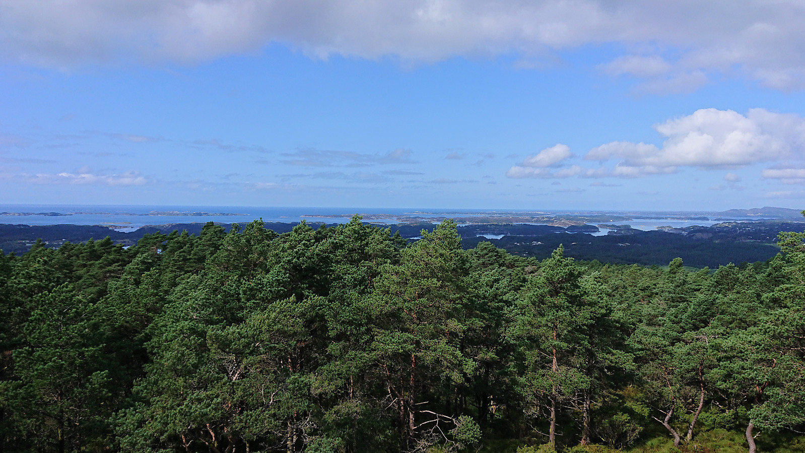
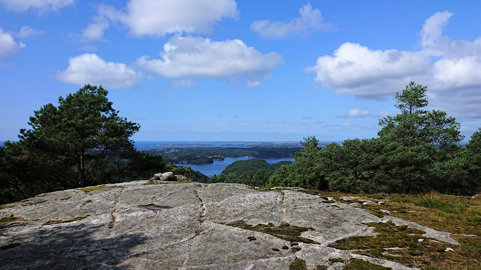
The trailhead was unmarked as far as I could tell, but easy to locate. I followed the initial tractor road through a couple of gates and when the road came to an end continued on a wet trail. The trail soon connected with a larger muddy trail, which I then followed west to the summit of Veten, providing excellent views in all directions and also included a visitor register.
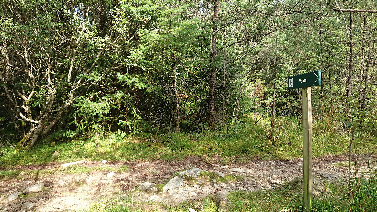
I retraced my steps along the muddy trail and continued east and later north on a trail marked with red paint and the occasional red T. Within a couple of minutes I came across the first sign for Loddo, and from this point onwards I would stay on the marked trail for my whole journey north.
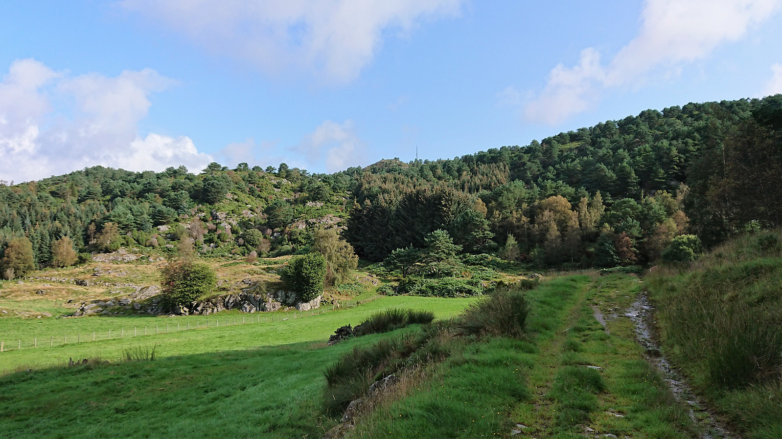
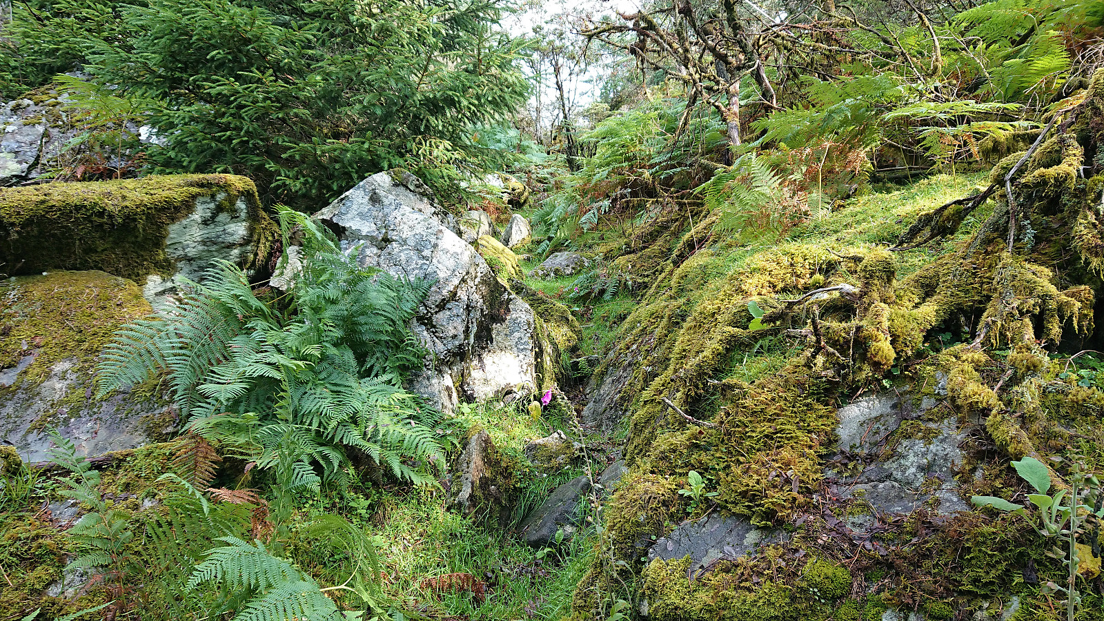
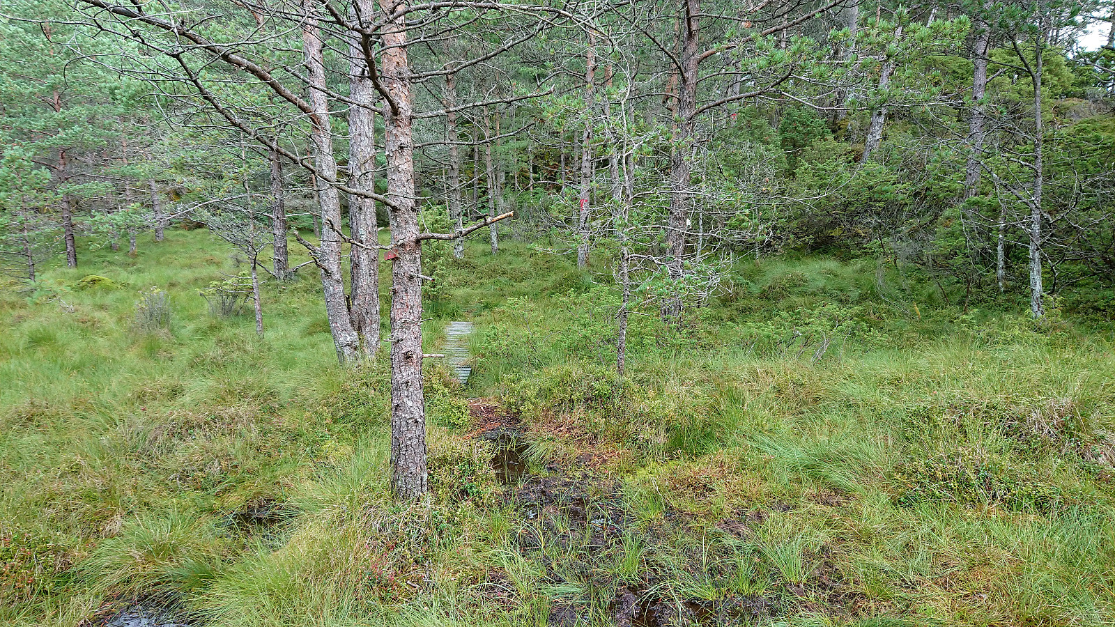
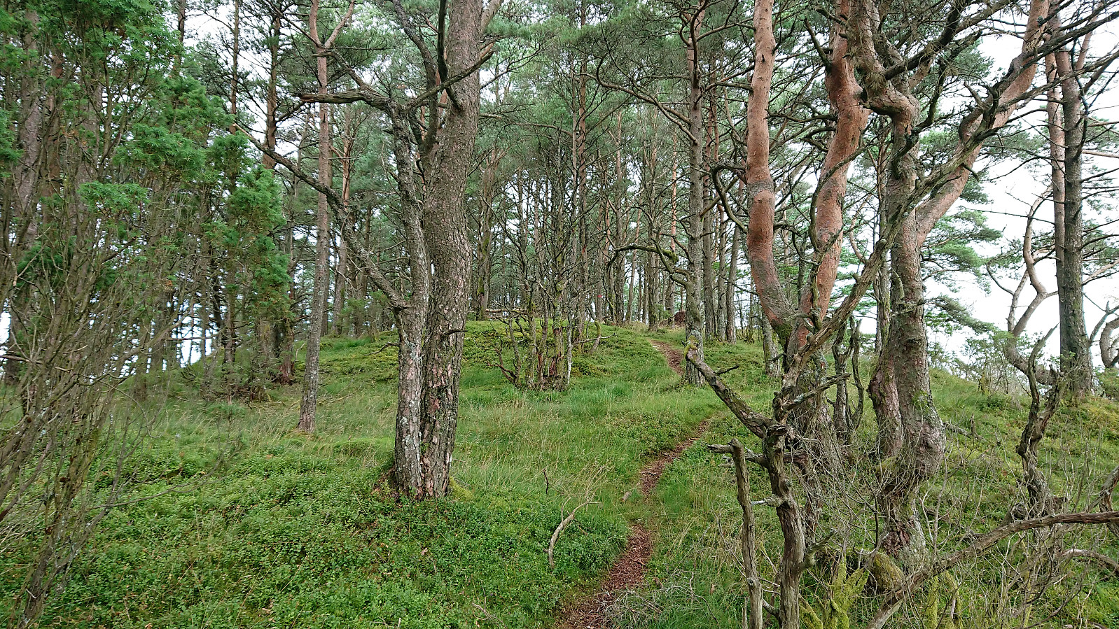
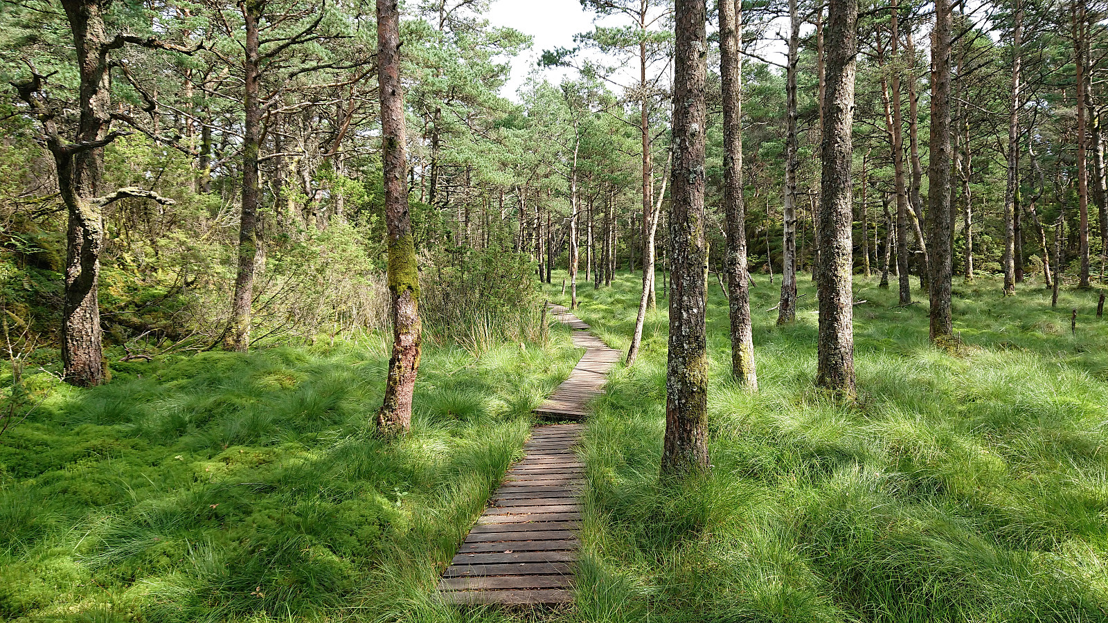
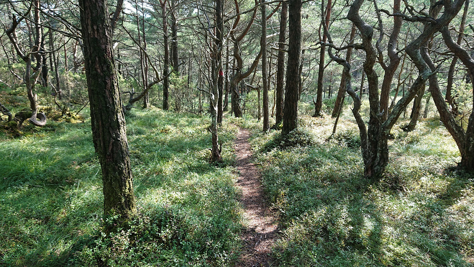
But while the trail was clearly marked and easy to follow, the quality of the trail left much to be desired. Especially at the start it was very wet. This would partially improve later on, but it would not really get better until getting close to Loddo. Following the trail was also frustrating at times, given all its twists and turns making it often seem like I was heading away from my target and not towards it. But with its numerous small hills the terrain did not really lend itself well to shortcuts, so I decided to stay on the trail anyway, assuming that there was the reason for its extended route.
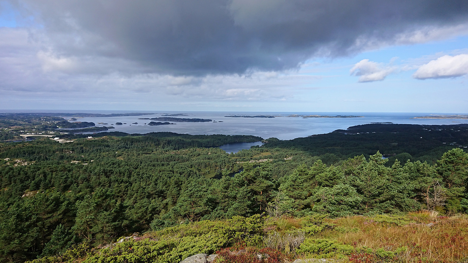
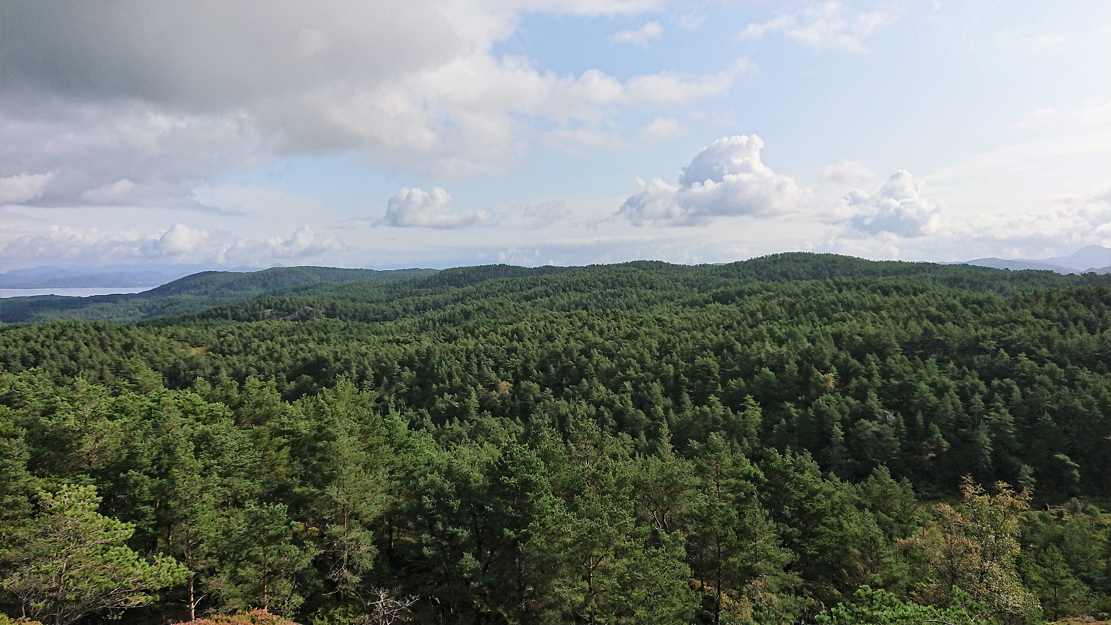
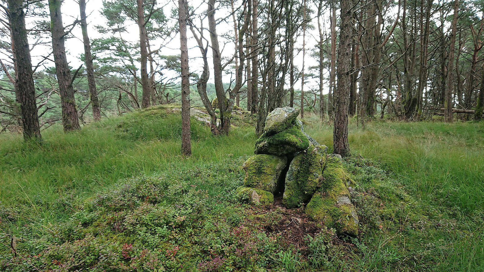
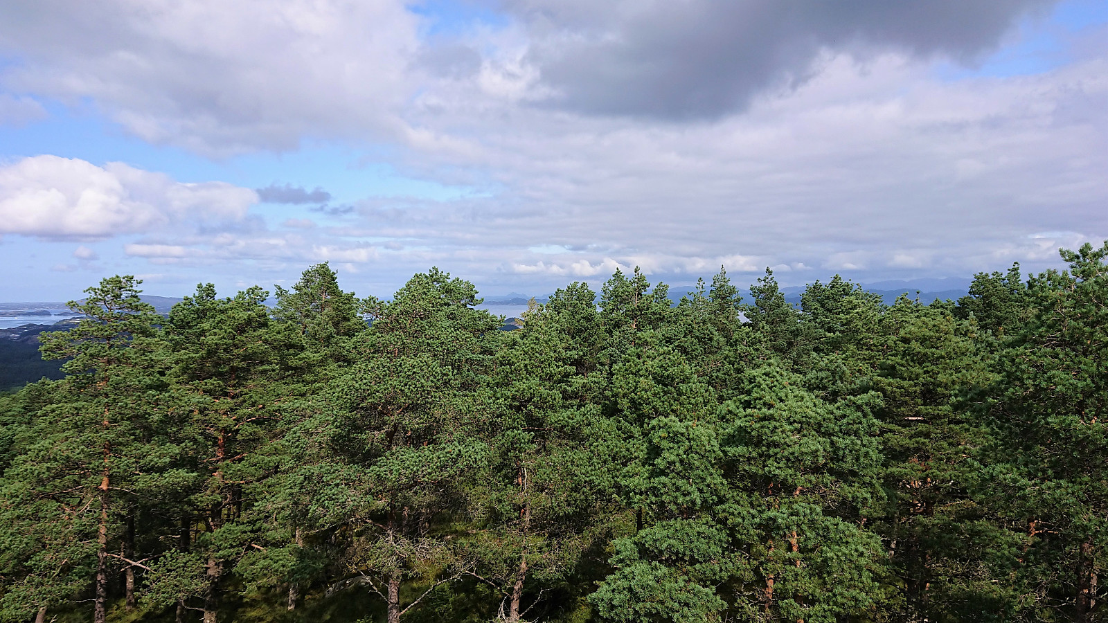
The trail did not avoid all of the small hills though, and there were actually more vertical meters than I had been expecting. One of these included Skaftefjellet, where the trail actually passed across the summit, meaning that one basically gets this summit for free simply by following the trail. Skaftefjellet had a small cairn, but provided very limited views due to all the trees.
After passing by Kråketjørna, the trail climbed up toward Vardfjellet, however it did not pass by the summit itself, and I did not bother to make the extra detour required, assuming that the views would not be much better than from Skaftefjellet. Not too long after, I finally arrived at the trail towards Loddo. From this location there were three marked routes to the summit. I went for the red option, which seemed to have the best quality trail, almost looking like a road compared to what I had been walking along for the past hours.
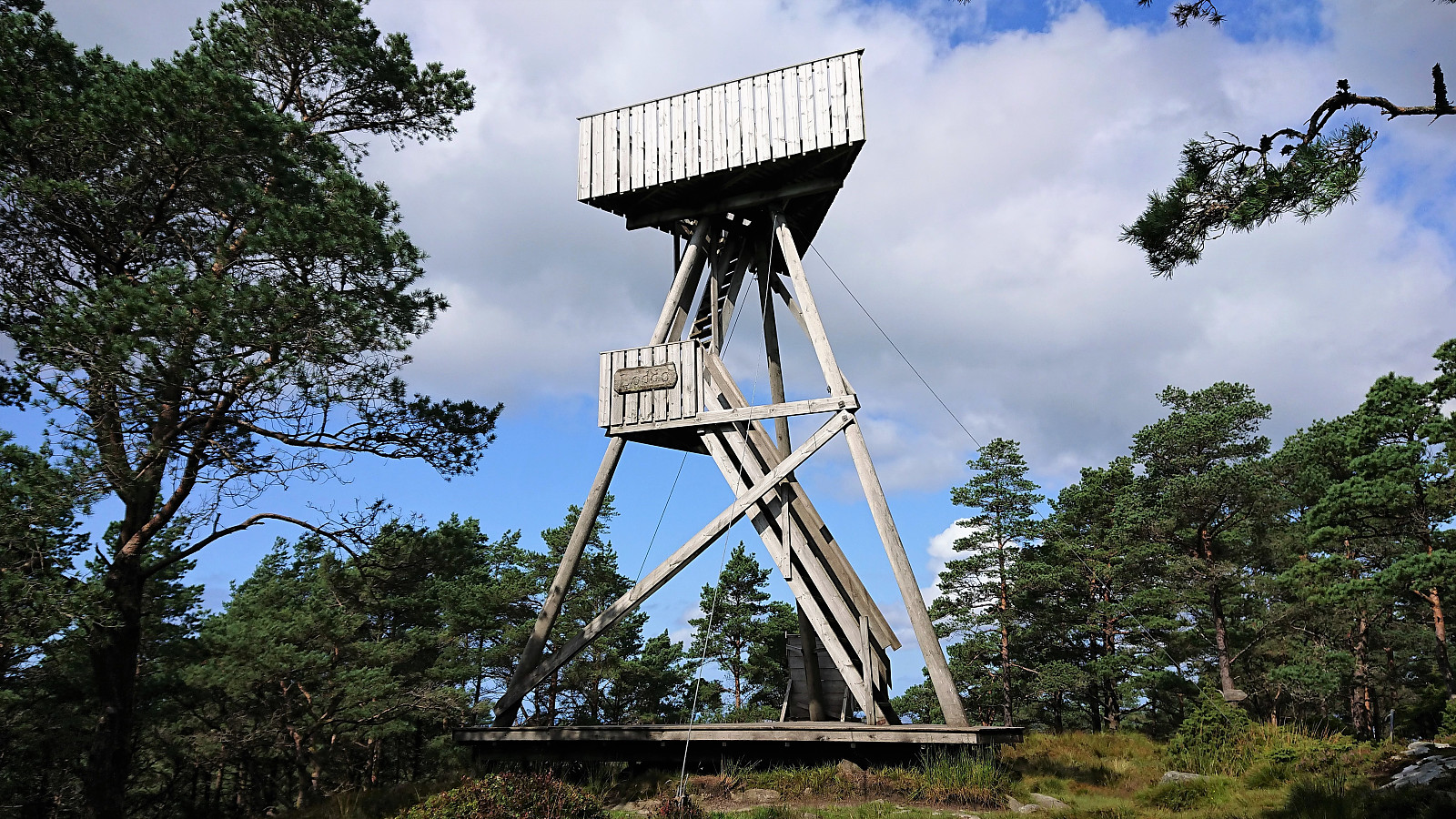
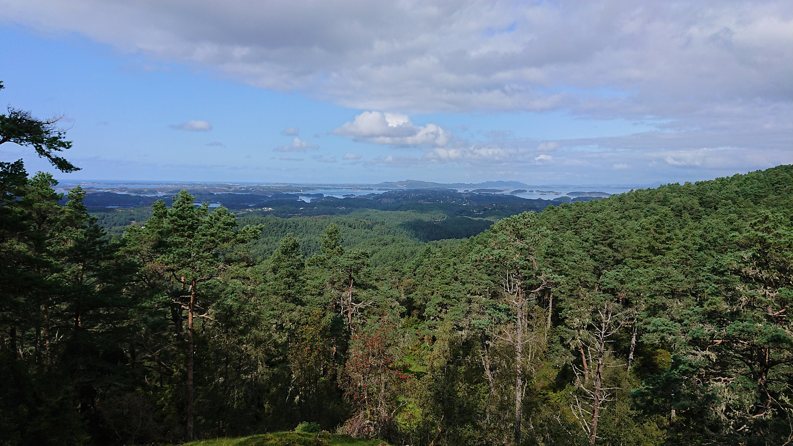
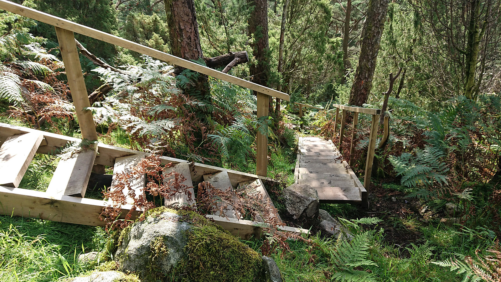
The summit of Loddo was easily reached and its lookout tower climbed. Nice views from the tower, especially given that there were basically no views at all from the ground, however the tallest trees were starting to limited the views in some directions. After climbing down again, I had a quick lunch at the base of the tower before starting my descent, this time going for the orange route. It consisted of lots of wooden staircases and provided nice views to the west.
All that now was left was the long walk back to Bekkjarvik. I followed the same marked trail as when coming north, but at least the sun was now out, making it slightly more enjoyable. The views were still as limited though and the trail equally wet.
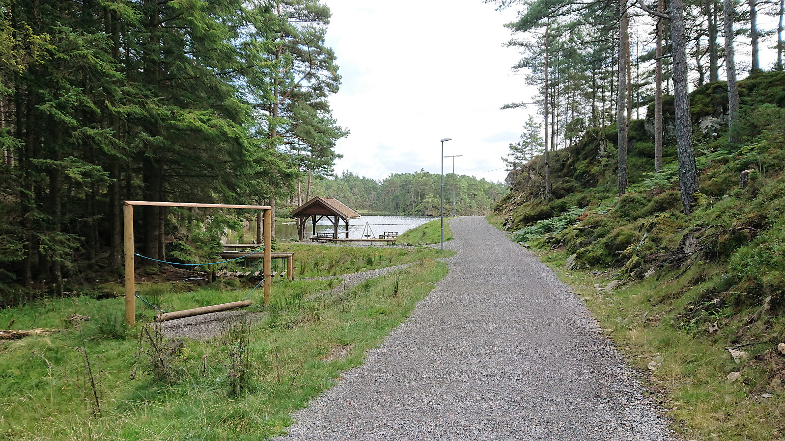
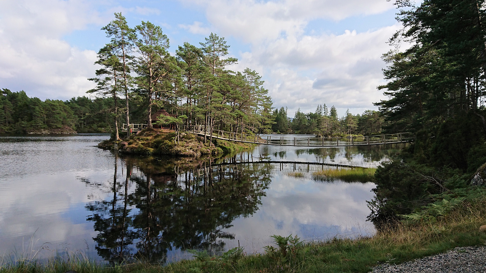
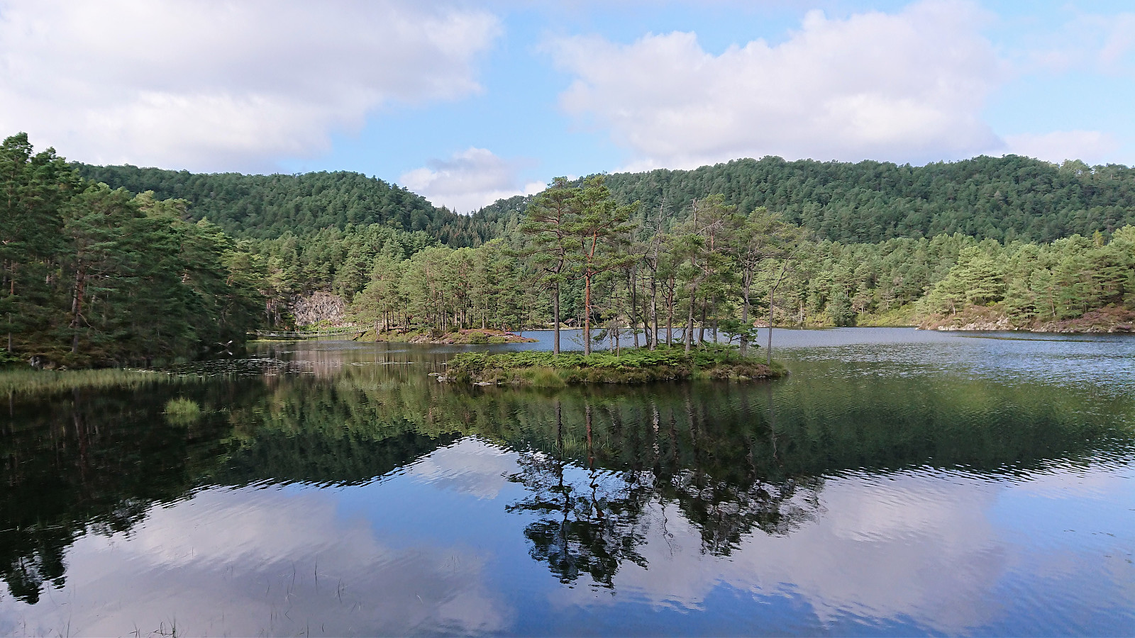
When getting close to Veten I still had plenty of time before the boat in Bekkjarvik, so I when coming across a marked trail to Vinnes I decided to make a detour in that direction. This trail was of better quality and is probably the most used route to Veten. Vinnesvatnet and the surrounding area was also a positive surprise and well worth the detour.
Upon reaching the main road, the hike was concluded by walking along the road to Bekkjarvik, thankfully still with limited traffic, making it there with plenty of time to spare before the boat back to Bergen.
In summary, a hike that due to the wet trails and the limited views along the way cannot really be recommended, at least not going both north and south on the same hike. But then forest walks have never been my favorite anyway, although it was slightly more enjoyable on the return when the sun came out. Visits of Veten and Loddo can however be recommended, but probable better to visit them separately. And if visiting Veten I would highly recommend starting from Vinnes, where there is a parking lot, and passing by Vinnesvatnet on the way.
| Startzeitpunkt | 21.08.2019 09:17 (UTC+01:00 SZ) |
| Endzeitpunkt | 21.08.2019 17:07 (UTC+01:00 SZ) |
| Gesamtzeit | 7h 50min |
| Zeit in Bewegung | 7h 20min |
| Pausenzeit | 0h 30min |
| Gesamtschnitt | 3,7km/h |
| Bewegungsschnitt | 4,0km/h |
| Entfernung | 29,1km |
| Höhenmeter | 1.257m |


Benutzerkommentare