
Skjerdingane Øst from Laugadalen (09.08.2019)

Geschrieben von hbar (Harald Barsnes)

| Startpunkt | Gunvordalen p-plass (427m) |
|---|---|
| Endpunkt | Gunvordalen p-plass (427m) |
| Tourcharakter | Bergtour |
| Tourlänge | 6h 39min |
| Entfernung | 18,3km |
| Höhenmeter | 1.427m |
| GPS |
|
| Besteigungen | Skjerdingane Øst (1.520m) | 09.08.2019 |
|---|---|---|
| Besuche anderer PBE | Tursti Gunvordalen (430m) | 09.08.2019 |
| Gunvordalen p-plass (430m) | 09.08.2019 | |
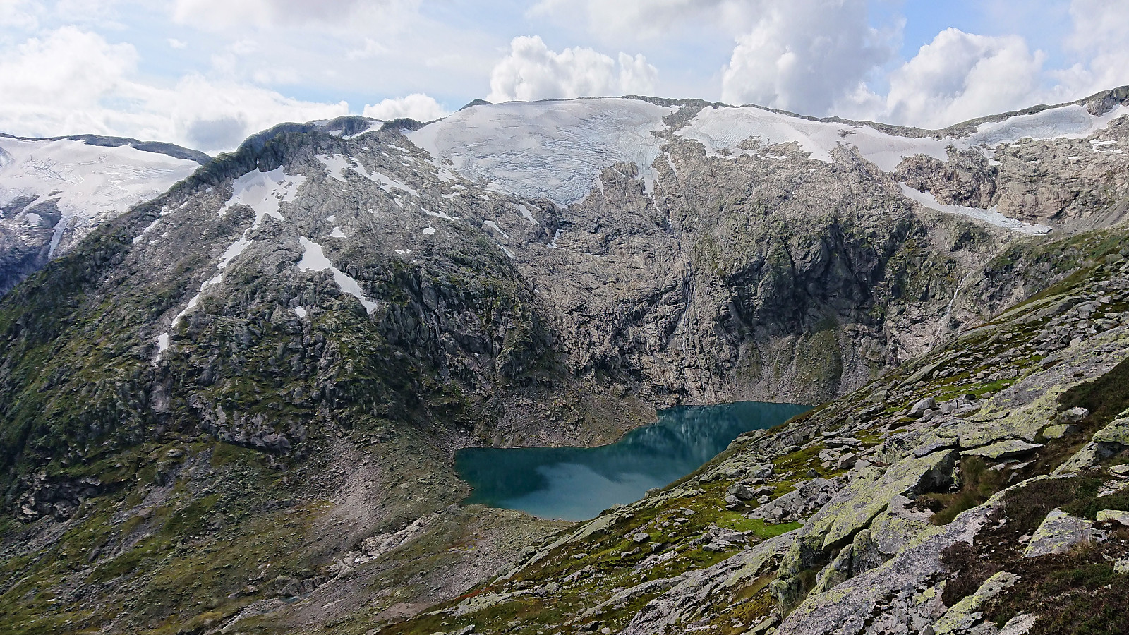
| Laugavatnet (728m) | 09.08.2019 | |
| Laugi (550m) | 09.08.2019 |
Skjerdingane Øst from Laugadalen
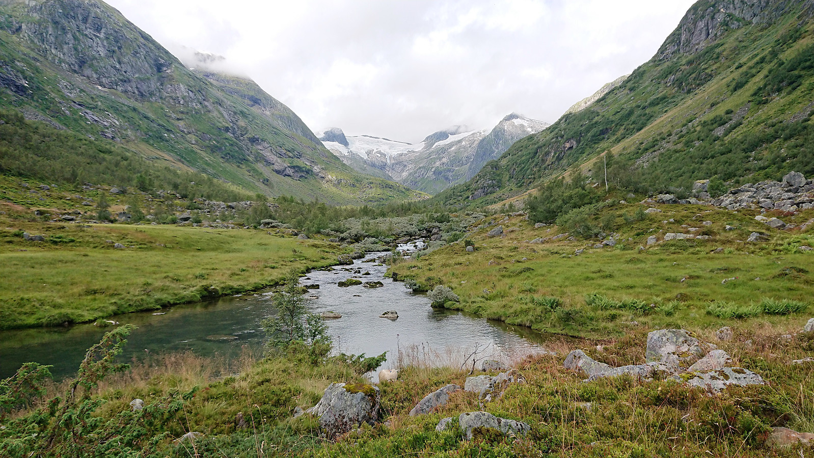
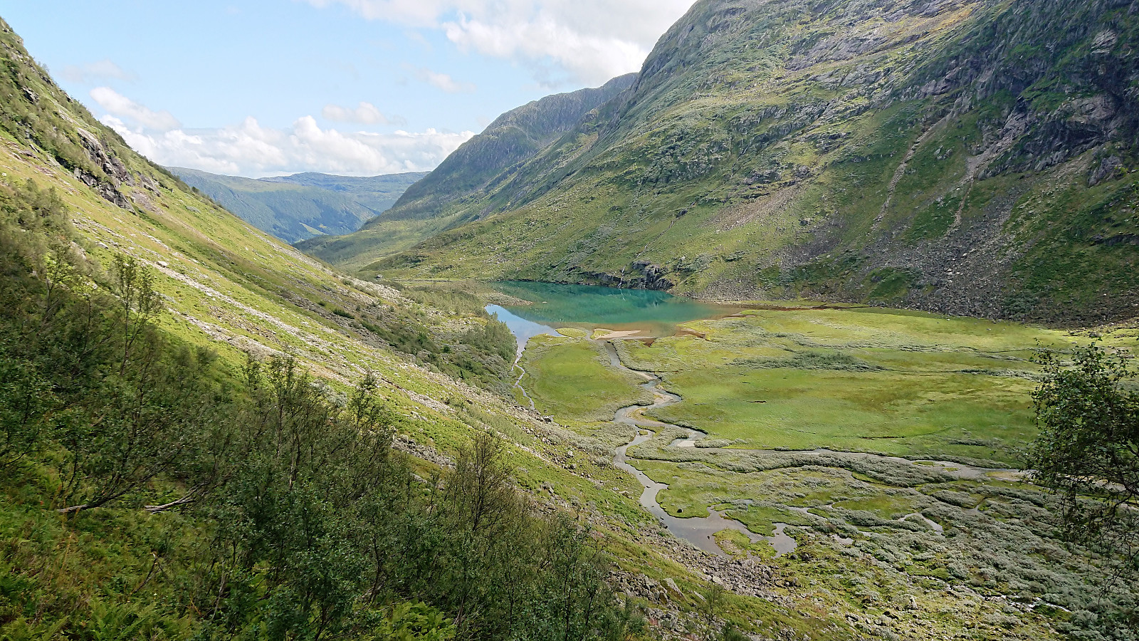
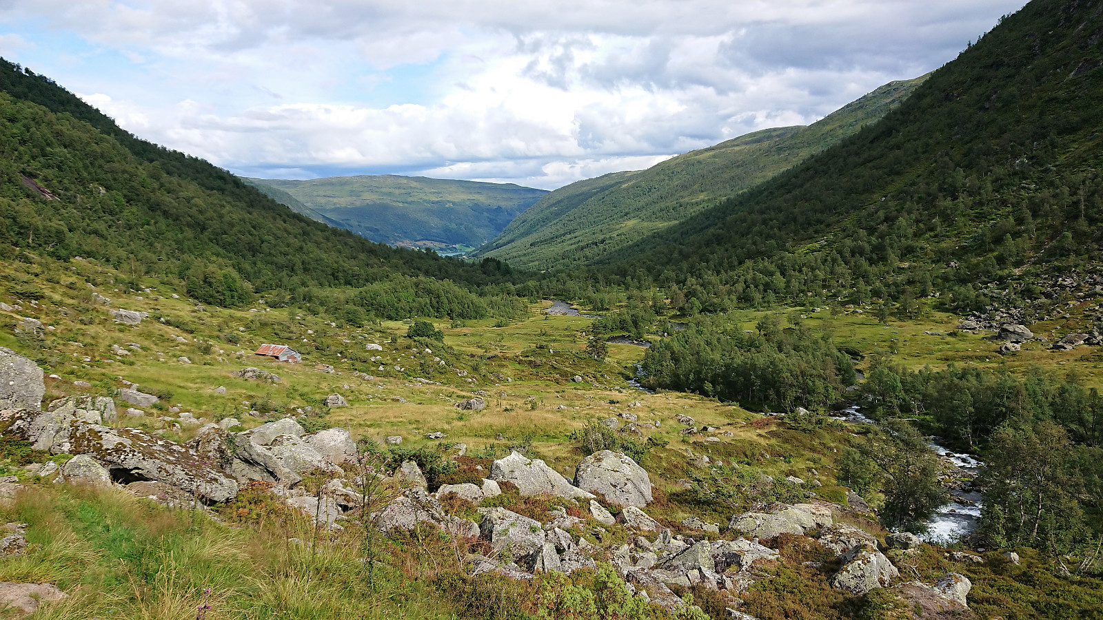
Given that our attempt to reach Skjerdingane Øst earlier in the week had to be abandoned due to bad weather, we simply had to give it another go as soon as the conditions improved. We followed the same trail up Laugadalen as last time, and also a pretty similar route from Laugavatnet to Styggebotngrovi, i.e. first along the weak trail from Laugavatnet and then finding our own way next to the stream.
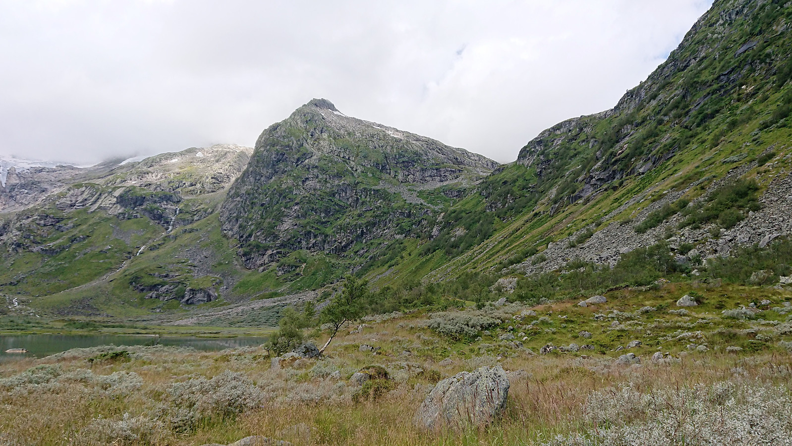
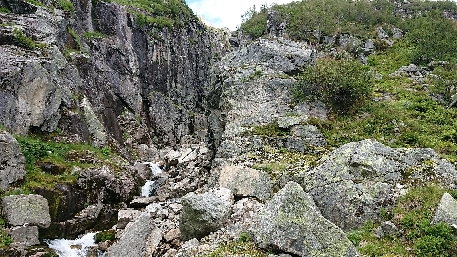
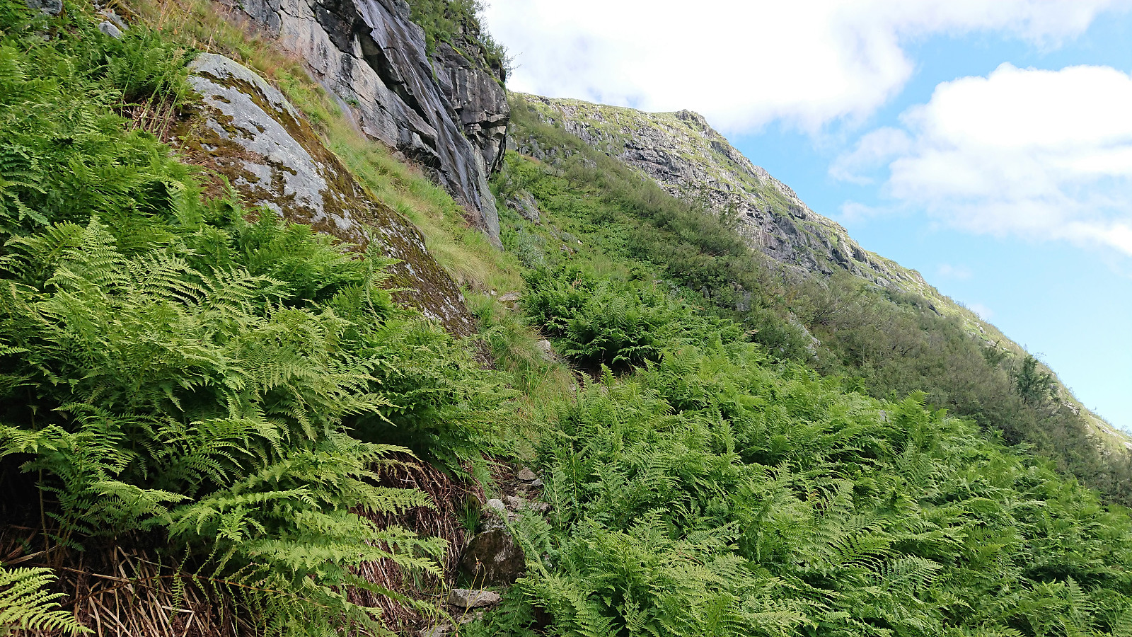
As mentioned in the previous report, our plan was to follow in the footsteps of arntfla (Arnt Flatmo) (see his trip report here), which of course today was made easier by the fact that we now knew where to locate the start of the trail in Styggebotngrovi. To summarize, the trick is to head to the bottom of Styggebotngrovi and start heading up on the eastern (i.e. right-hand) side of the gorge. A weak trail should then shortly appear.
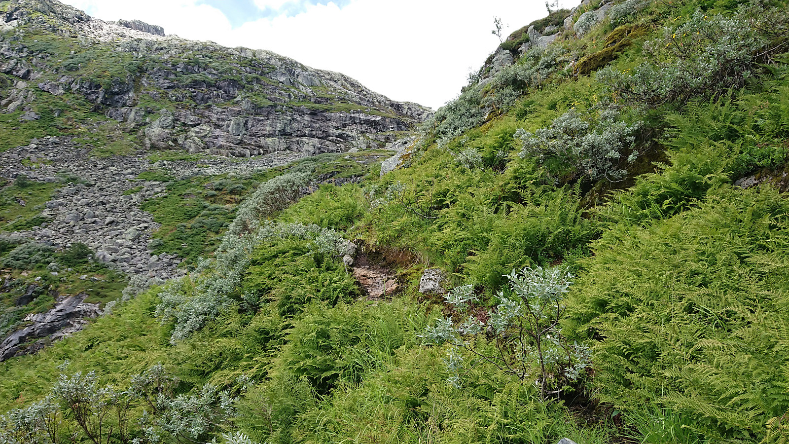
At this time of the year the trail was lined and partially covered by numerous ferns, at times making it difficult to see where the trail continued beyond the next couple of steps, but other than that the trail was easy to follow and far from as steep as expected. When getting above 1000 meters above sea level the terrain suddenly turned much less step, and shortly after the trail pretty much disappeared, but at that point it was not really needed anyway, and the direction was pretty obvious.
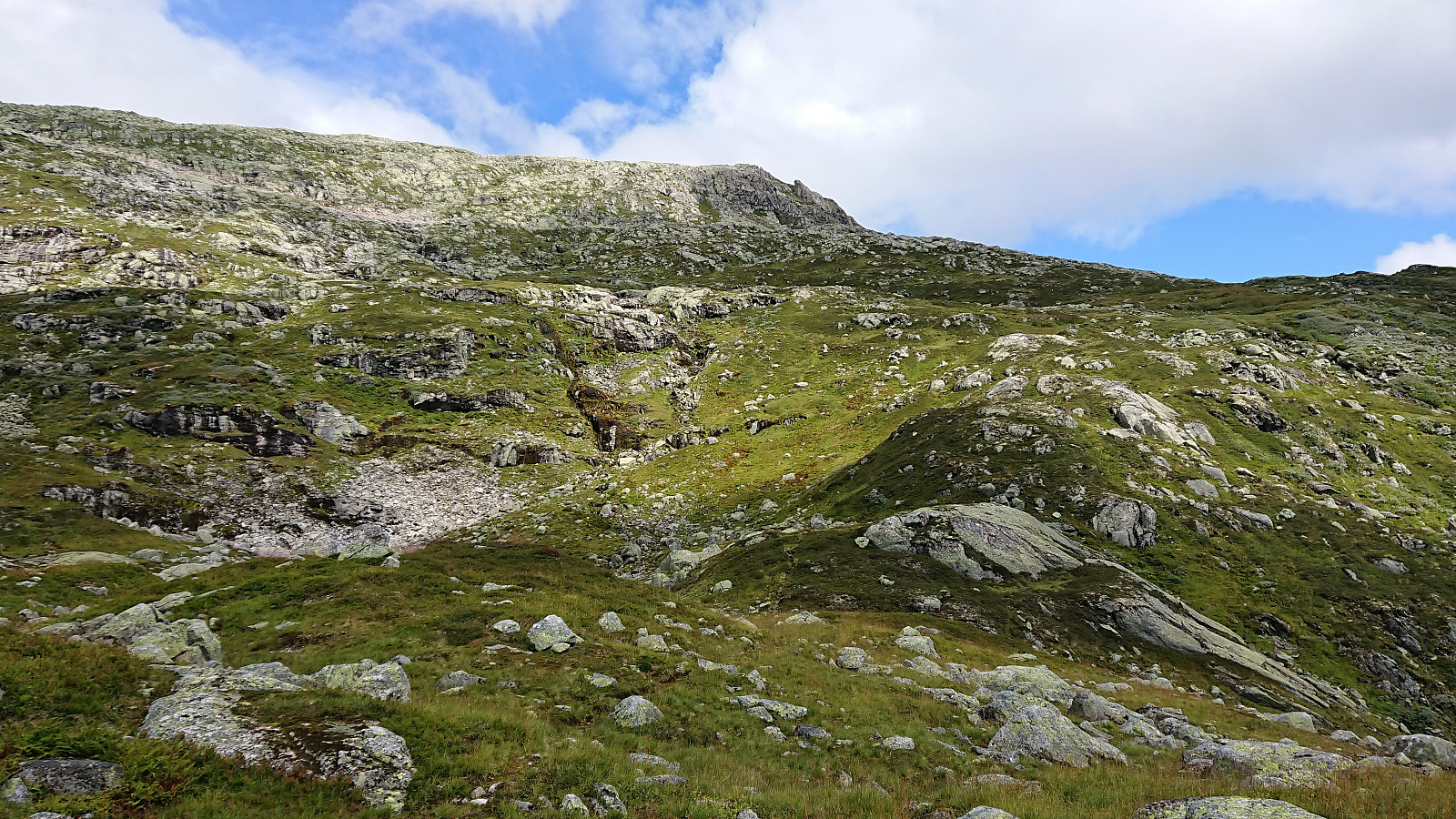
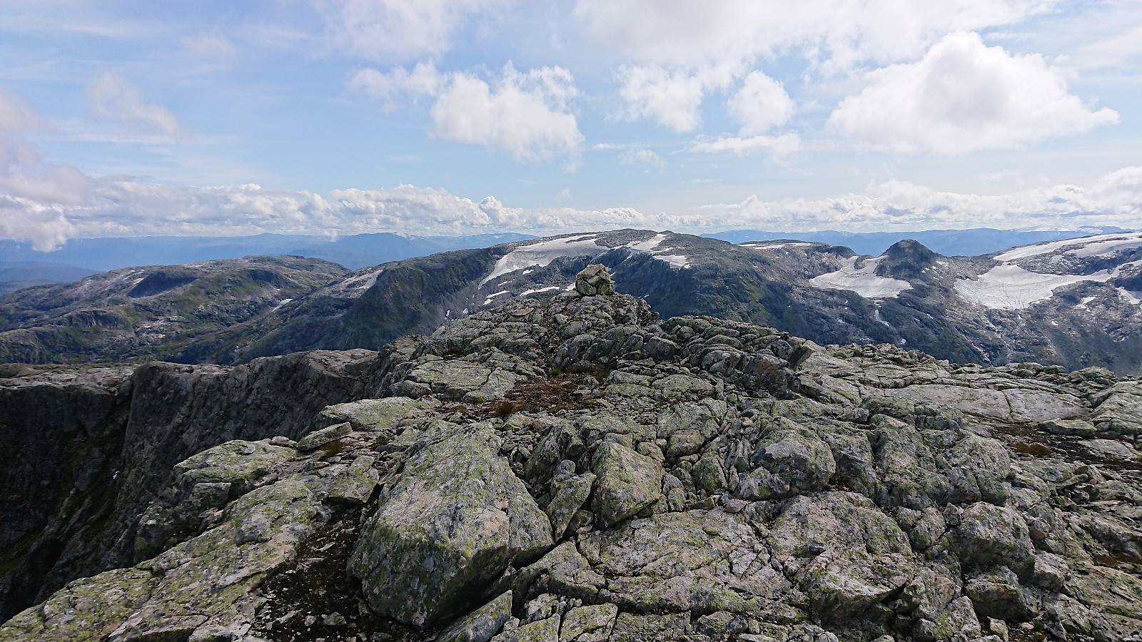
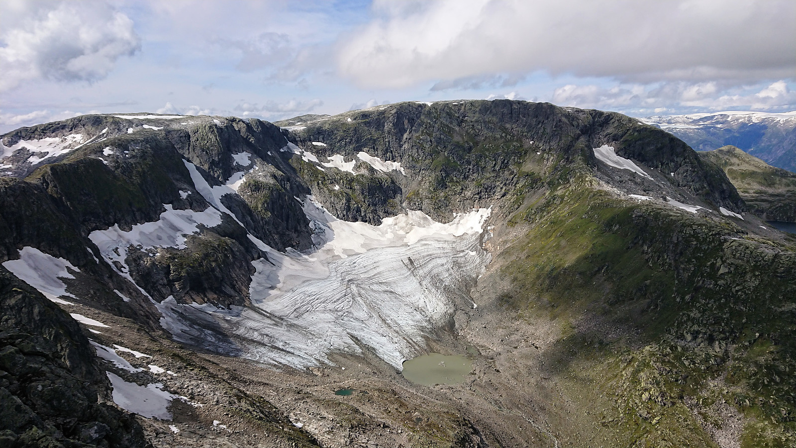
It is most likely not too difficult to head straight for the summit, but we decided to instead walk northwest alongside a snow-covered area, before turning northeast towards the summit. The final stretch towards the summit was straightforward and mainly consisted of rocks, although one ought to be careful not to get too close to the vertical drop to the northwest.
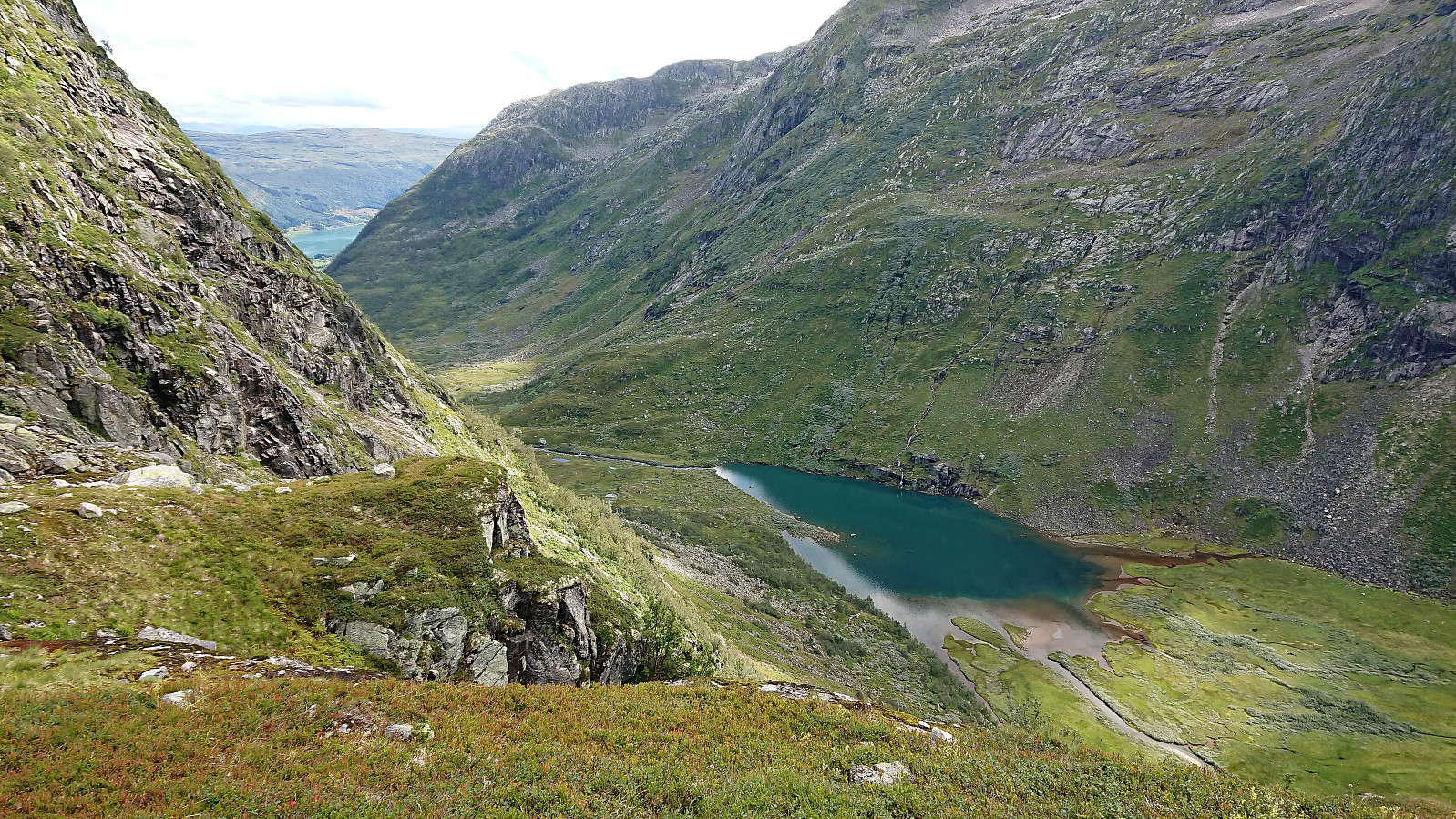
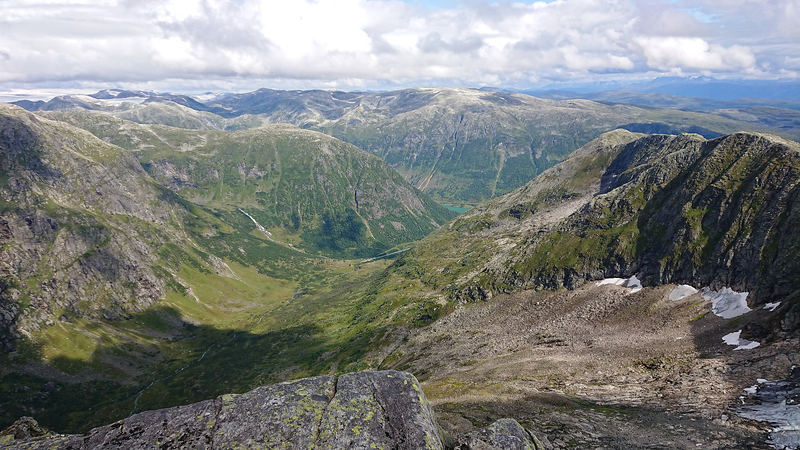
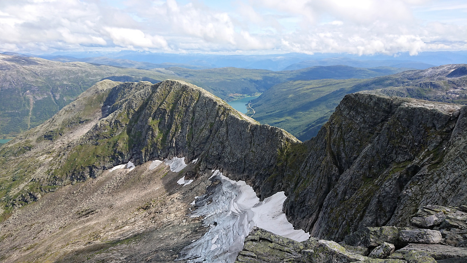
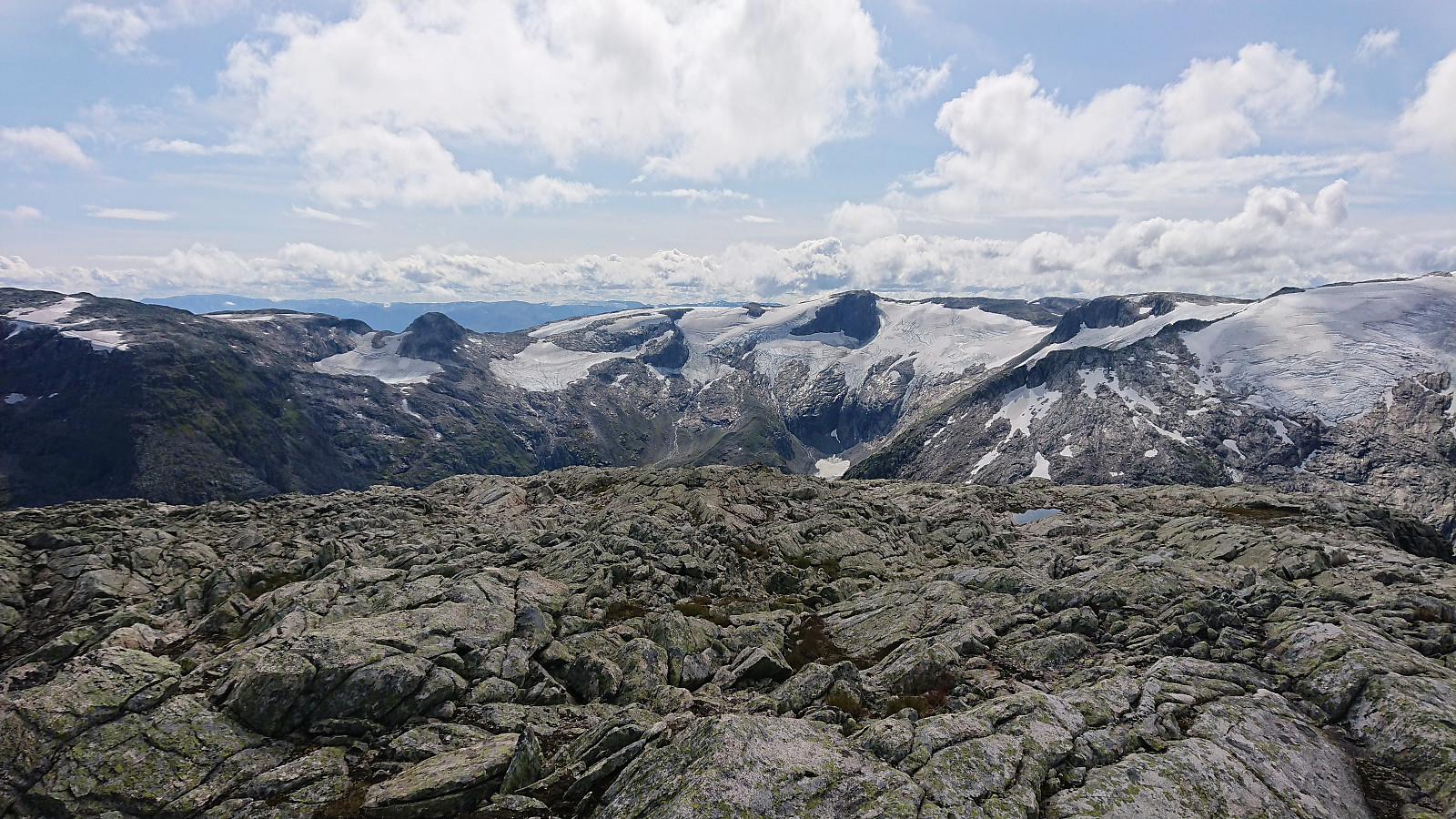
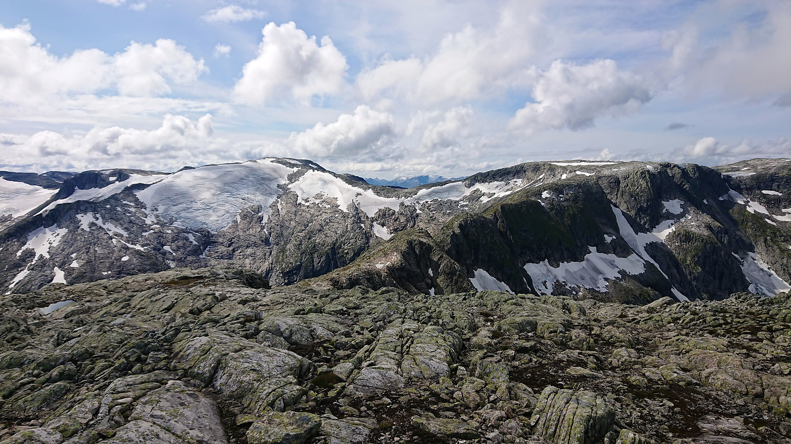
The summit itself provided spectacular views! In particular towards Nystølsfjellet/Togga and down into Frudalen and beyond. After taking lots of pictures, it was time for the descent, following pretty much the same route as for the ascent. and this time without having to run from a thunderstorm when reaching Laugavatnet. :)
To conclude, an excellent hike with spectacular views that can be very highly recommended!


| Startzeitpunkt | 09.08.2019 10:42 (UTC+01:00 SZ) |
| Endzeitpunkt | 09.08.2019 17:22 (UTC+01:00 SZ) |
| Gesamtzeit | 6h 39min |
| Zeit in Bewegung | 6h 20min |
| Pausenzeit | 0h 19min |
| Gesamtschnitt | 2,7km/h |
| Bewegungsschnitt | 2,9km/h |
| Entfernung | 18,3km |
| Höhenmeter | 1.427m |


Benutzerkommentare