
Cycling: Bjørnstigfjellet (02.08.2019)

Geschrieben von hbar (Harald Barsnes)

| Startpunkt | Barsnes (37m) |
|---|---|
| Endpunkt | Barsnes (37m) |
| Tourcharakter | Fahrradtour gemischt |
| Tourlänge | 7h 24min |
| Entfernung | 63,8km |
| Höhenmeter | 2.221m |
| GPS |
|
| Besteigungen | Bjørnstigfjellet (770m) | 02.08.2019 |
|---|---|---|
| Besuche anderer PBE | Migandegrovi (65m) | 02.08.2019 |
| Varpet (69m) | 02.08.2019 |
Cycling: Bjørnstigfjellet
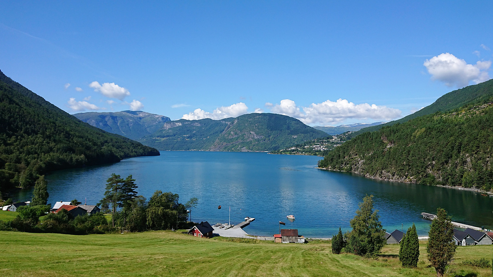
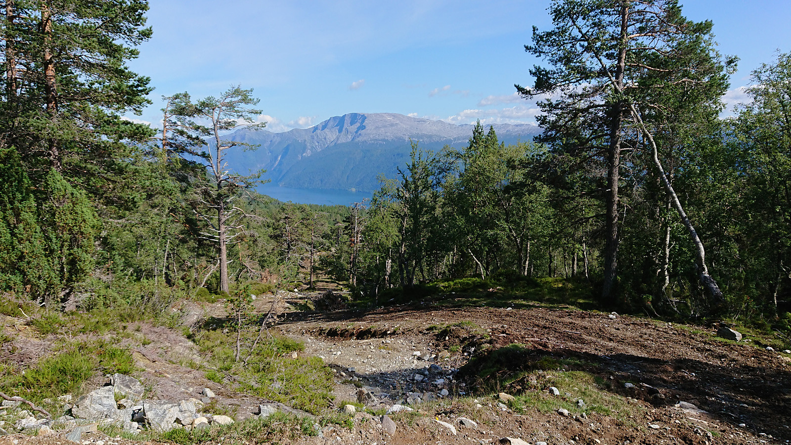
Ever since last year's attempt to cycle to Fimreite ended way too abruptly I had wanted to have another go. This time taking it very easy in the sharp turn where I had my unfortunate close encounter with the pavement last July, and thus this time making it safely down to Eide. From there the cycling was straightforward, though always seeming to include more climbing than I remember from previous visits.
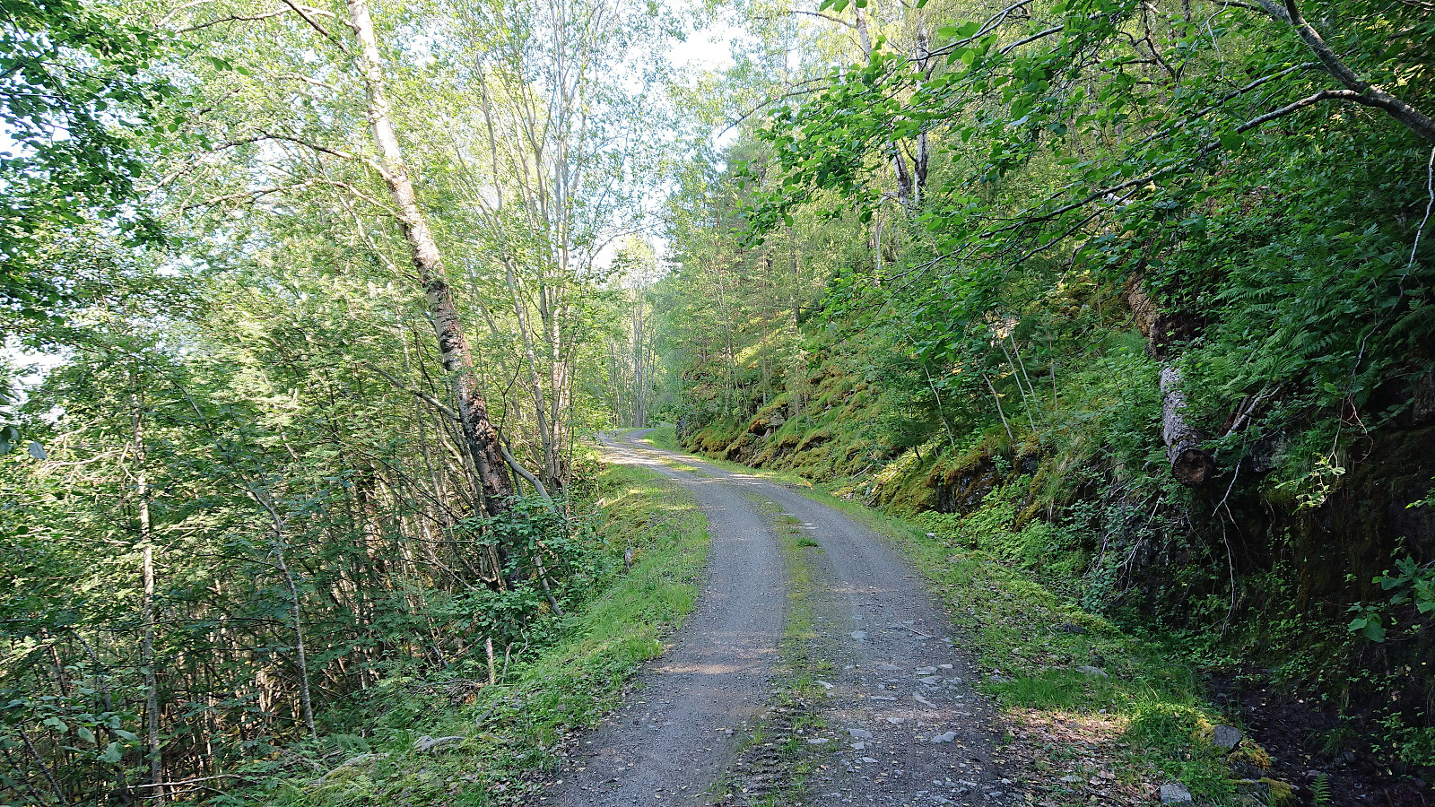
From Fimreite I continued west and later east along the gravel road, passing by two gates and a sign with no driving allowed. The gravel road was of good quality and far from steep, but the climb was still tough given the constant ascent providing little to no rest. More than once I considered leaving the bike behind and continuing on foot, but decided not to, given that the bike would be greatly beneficial for my later descent.
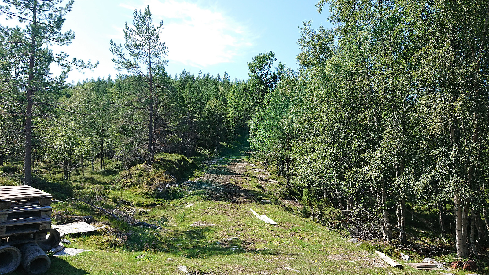
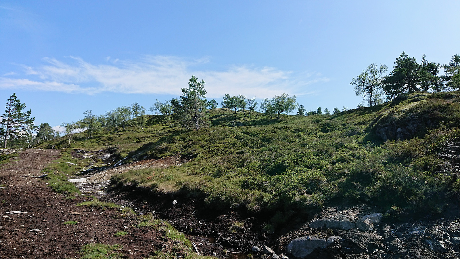
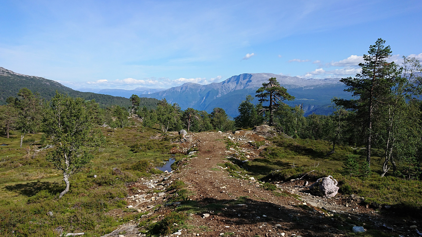
The high-quality gravel road continued all the way to the valley between Bjørnstigfjellet and Middagshaugen/Dueskard (and even continued further south from there). Here there as was crossroad with a tractor road, heading both towards Dueskard and in the direction of Bjørnstigfjellet. I of course went for the latter, hoping it would simplify the last part of the ascent, although I was not yet sure how far or how close to the summit the road would take me.
Again I considered leaving the bike behind, especially given that the quality of the tractor road was not always very cycling-friendly, at least not with my mountain biking skills, but once again the thought of having the bike for the descent made me keep the bike. I did manage to stay on the bike for large parts of the road, but also walked next to the bike for several sections that where either too steep, rocky, or muddy to cycle easily.
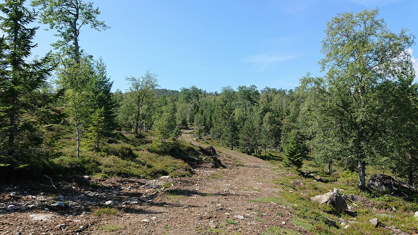
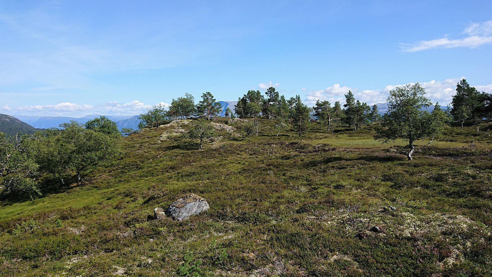
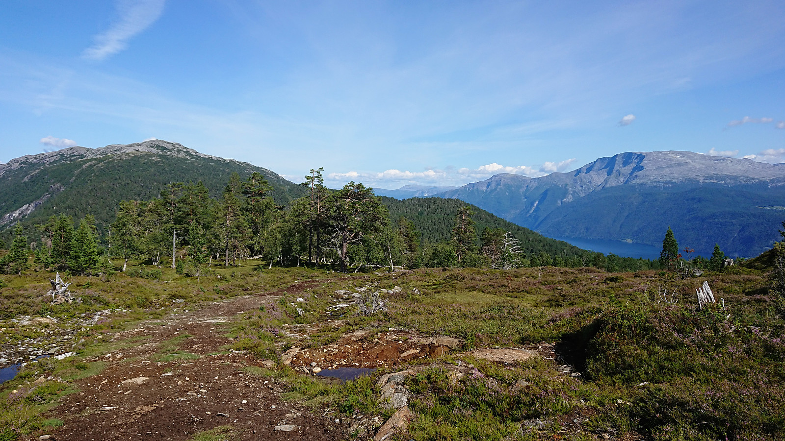
To my surprise the tractor road continued almost all the way to the summit of Bjørnstigfjellet (and actually continuing west of the summit as well, I did not follow it all the way to the end though as it started to descend), thus making it relatively straightforward to get very close to the summit. (Note however that the road does not actually follow the road/trail indicated on the map, at least not for long.)
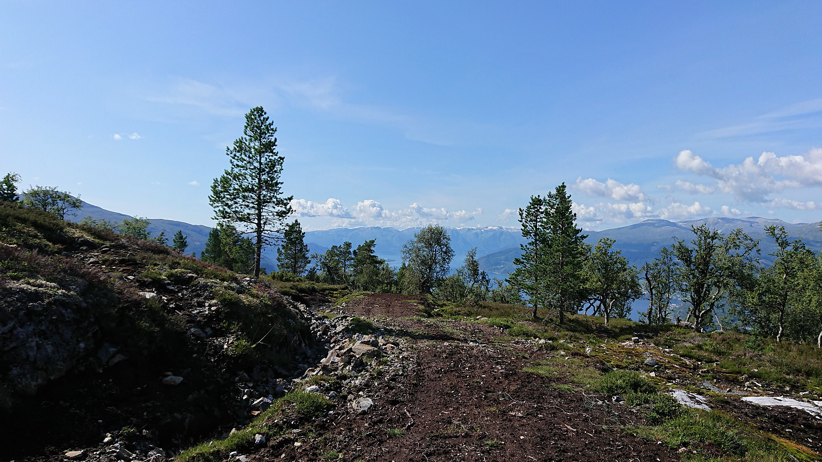
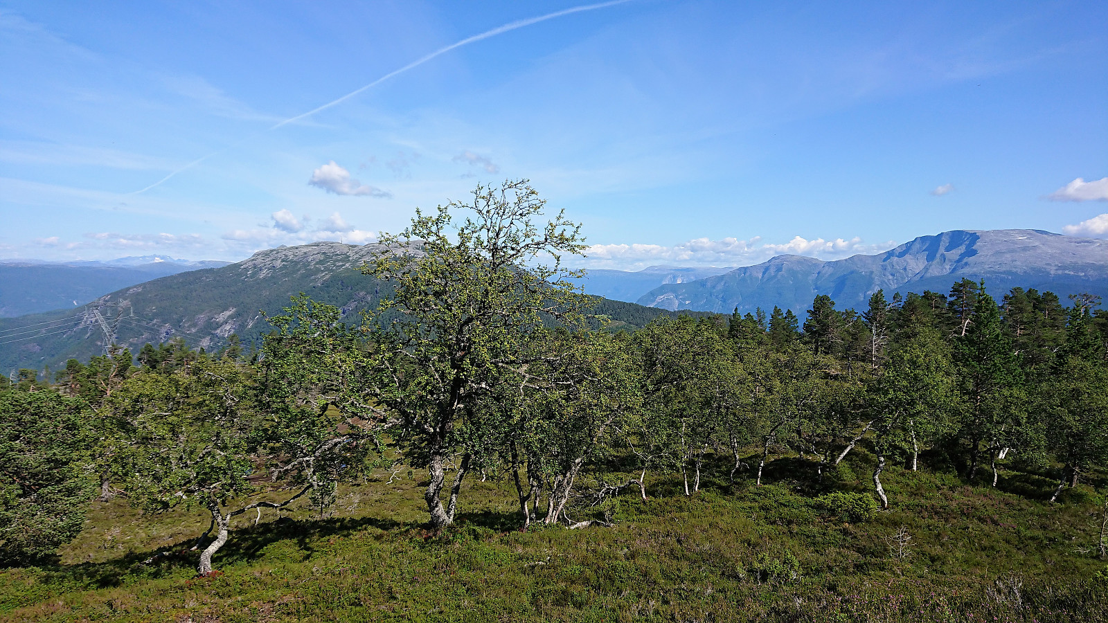
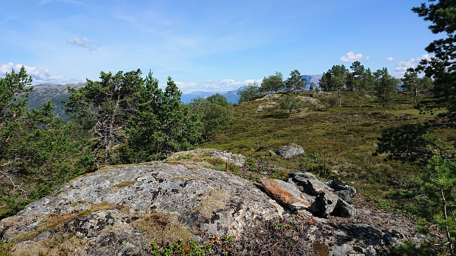
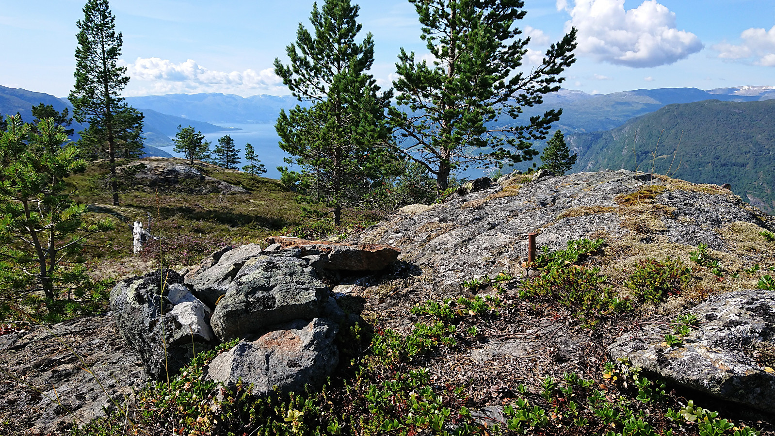
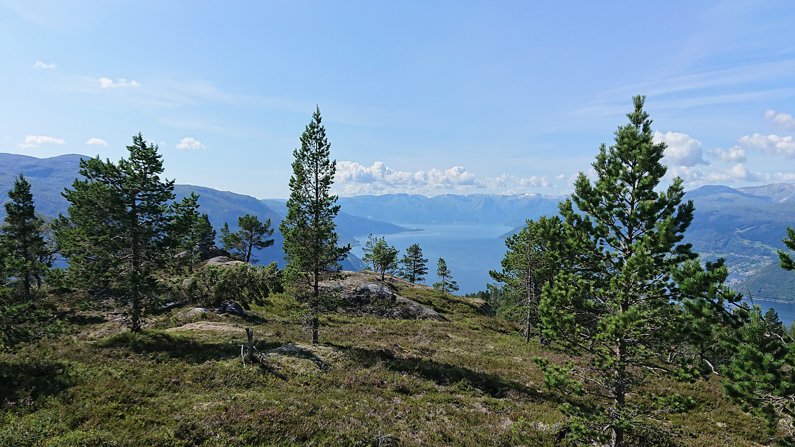
After leaving the bike by the road, I walked the final 100 meters to the summit, or rather the summit area, as there was no clear highest point. As far as I could tell the highest point was around 100 meters east of the remains of the trig marker, which is where the PB element for Bjørnstigfjellet was located.
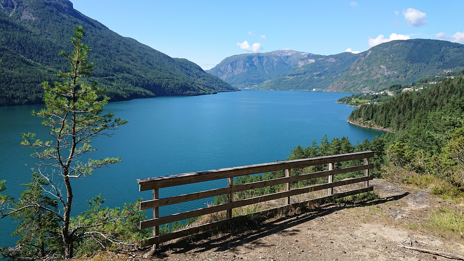
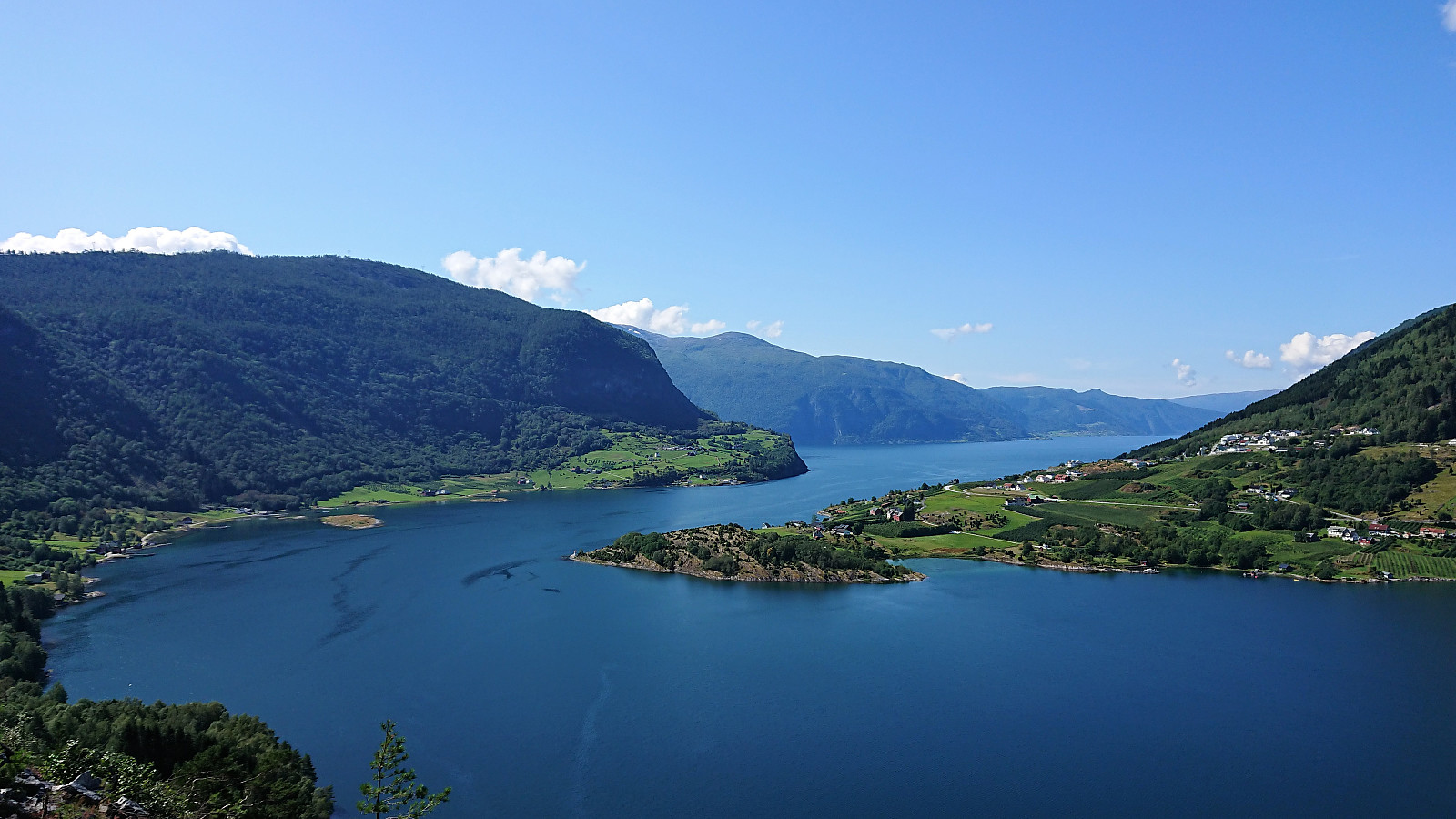
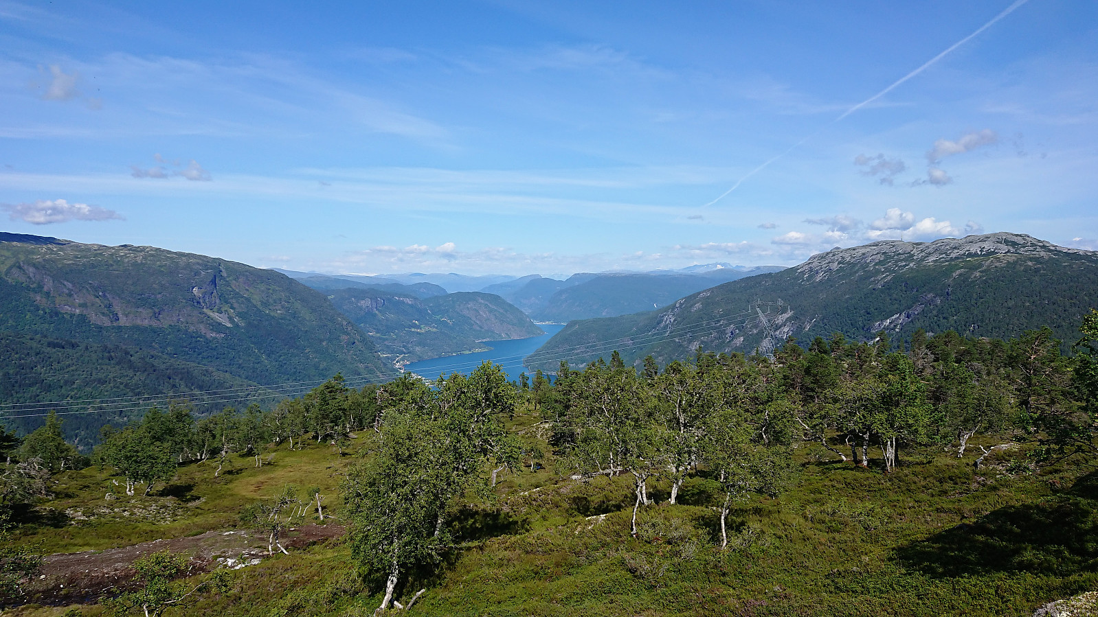
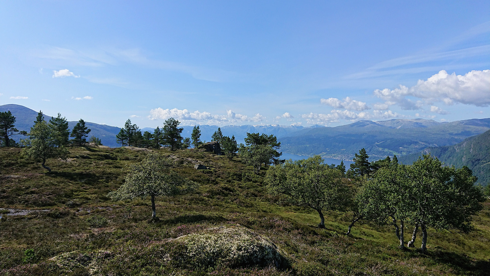
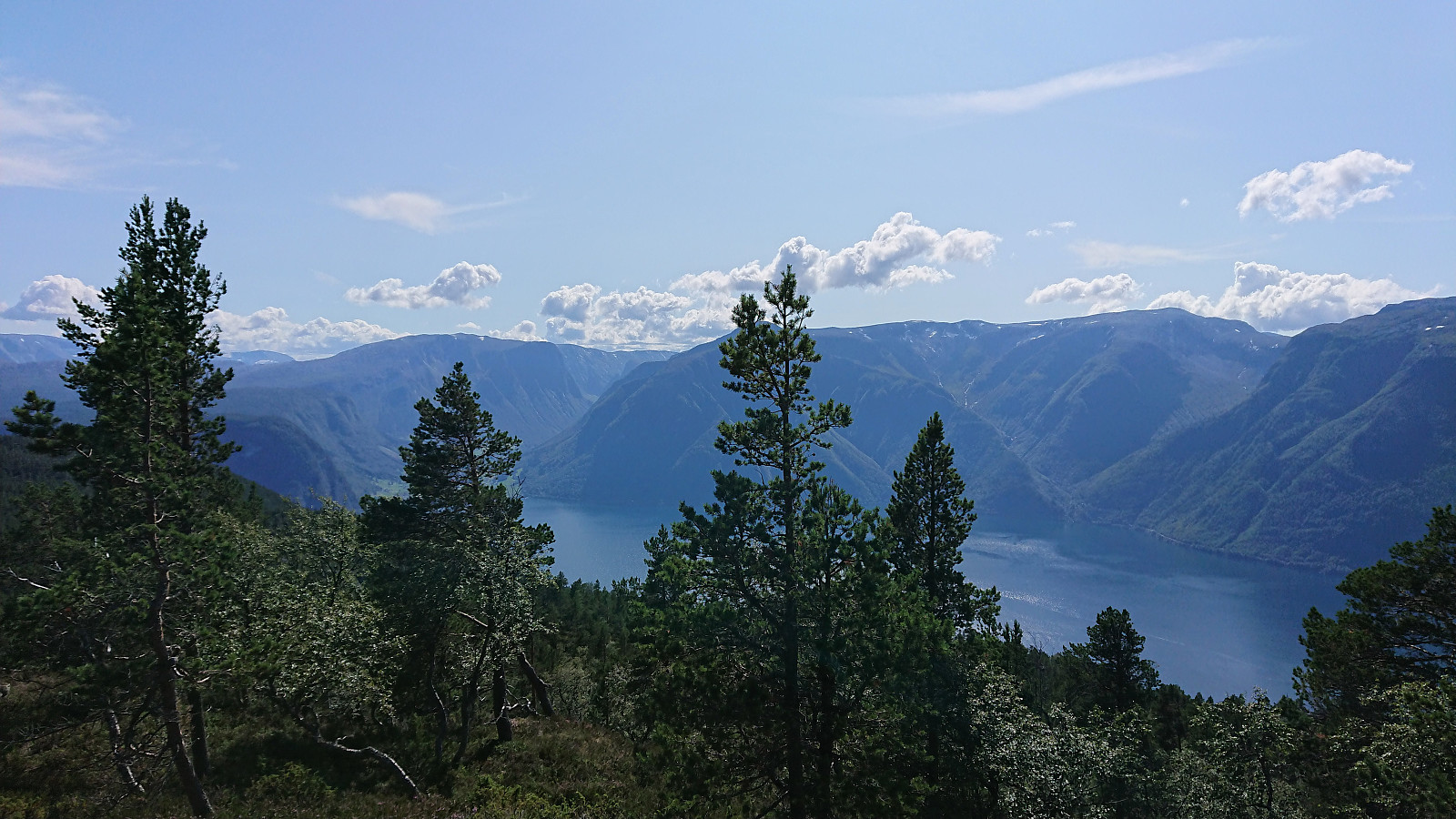
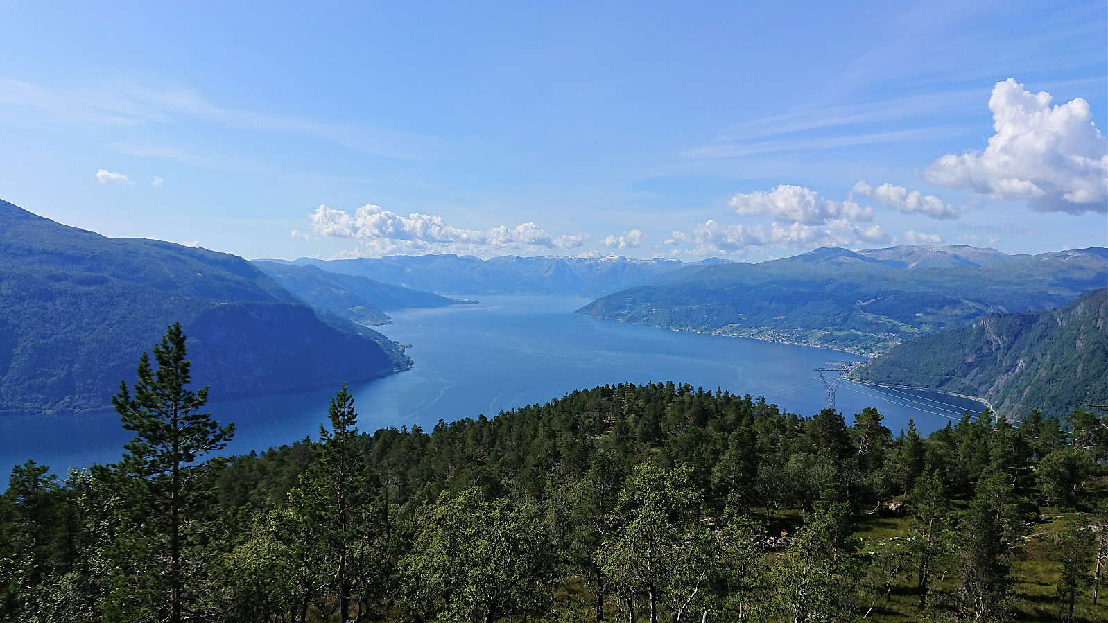
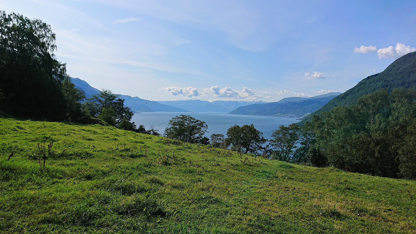
The trig marker is clearly not at the highest point though. To get the best views one has to walk around a bit. For example, the views towards Sognefjorden and Leikanger were very nice, but requires that one heads a bit west of the summit.
After a quick lunch it was time for the descent. And while my mountain biking skills were not good enough to allow me to stay on the bike all the way back to the gravel road, I did pretty good and was very happy that I brought the bike (almost) all the way to the summit. Even more so when reaching the gravel road and from there being able to quickly make it all the way down to Fimreite with almost no effort.
The hardest part still remained though. Because while most of the cycling from Sogndal to Fimreite looks like it is simply cycling along the fjord, a closer inspection reveals the significant climbs required, most notably the steep climb up from Fimreite. Today made even tougher by already having done the 800 meters climb from Fimreite to Bjørnstigfjellet.
In summary, an excellent trip that can be highly recommended, with excellent views along the way. The gravel road, and later tractor road, up from Fimreite greatly simplifies the ascent, and even more so the descent. But note that a certain degree of mountain biking skills will be required to enjoy the ride along the tractor road.
| Startzeitpunkt | 02.08.2019 11:37 (UTC+01:00 SZ) |
| Endzeitpunkt | 02.08.2019 19:00 (UTC+01:00 SZ) |
| Gesamtzeit | 7h 24min |
| Zeit in Bewegung | 6h 44min |
| Pausenzeit | 0h 39min |
| Gesamtschnitt | 8,6km/h |
| Bewegungsschnitt | 9,5km/h |
| Entfernung | 63,8km |
| Höhenmeter | 2.221m |


Benutzerkommentare