Synnøvjordtinden (23.07.2019)  4

Written by Skippy (Innika De Rosa)

Start point Sørentoftelva (20m)
Endpoint Synnøvjordtinden (785m)
Characteristic Hillwalk
Duration 2h 27min
Distance 7.8km
Vertical meters 790m
GPS
Ascents Synnøvjordtinden (783m) 23.07.2019

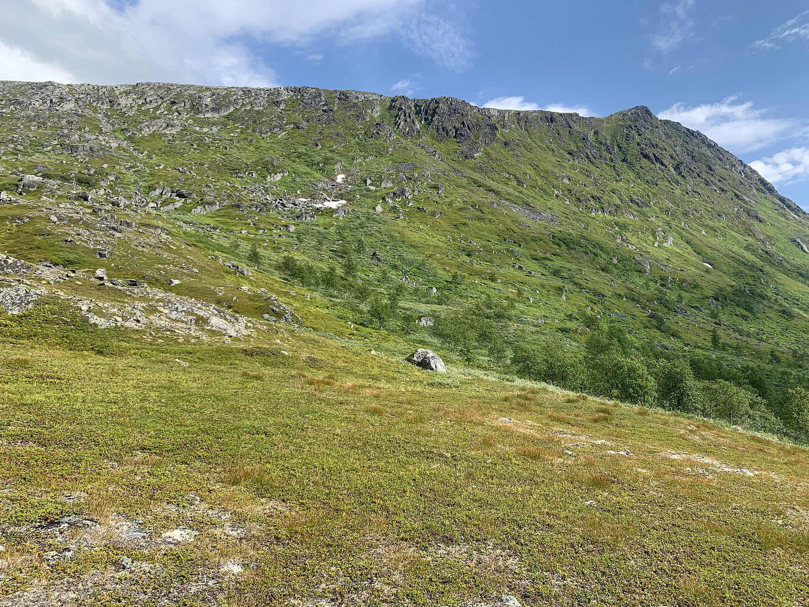
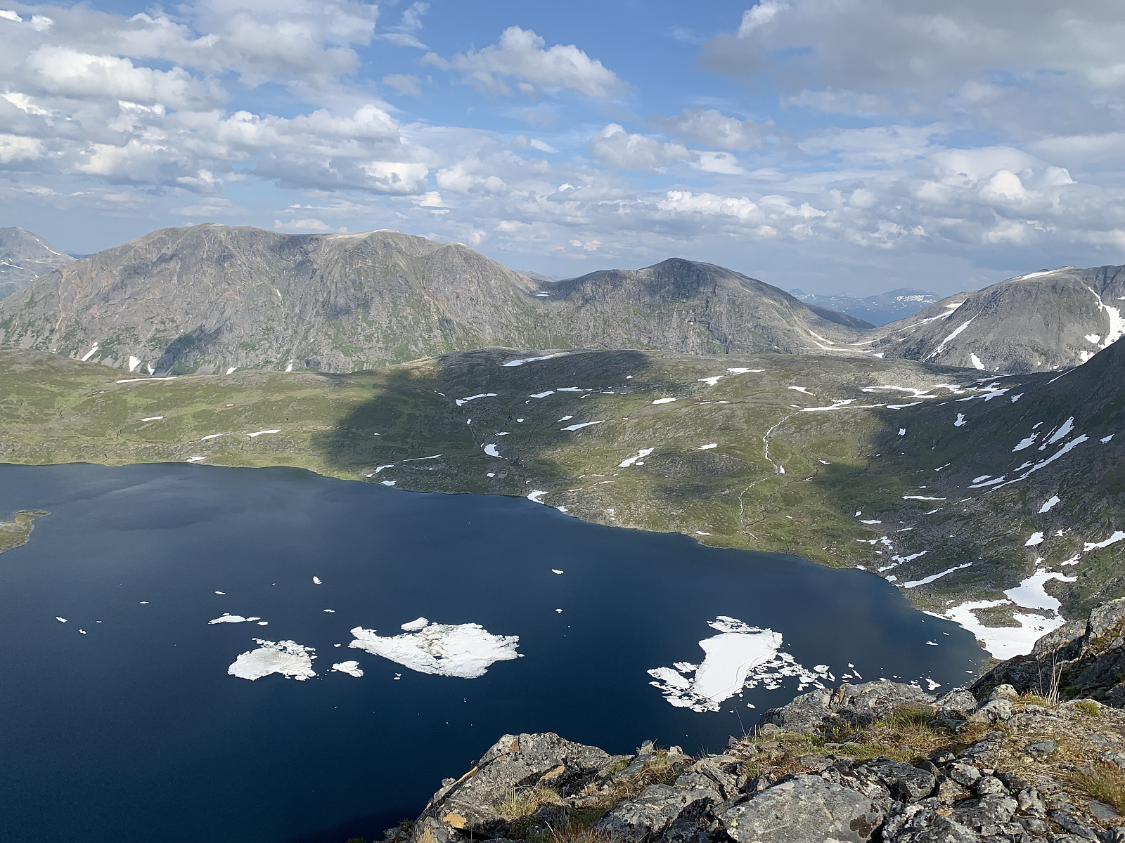
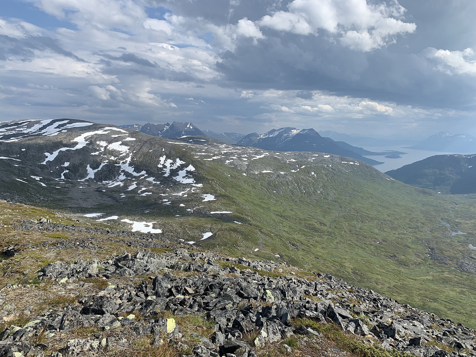
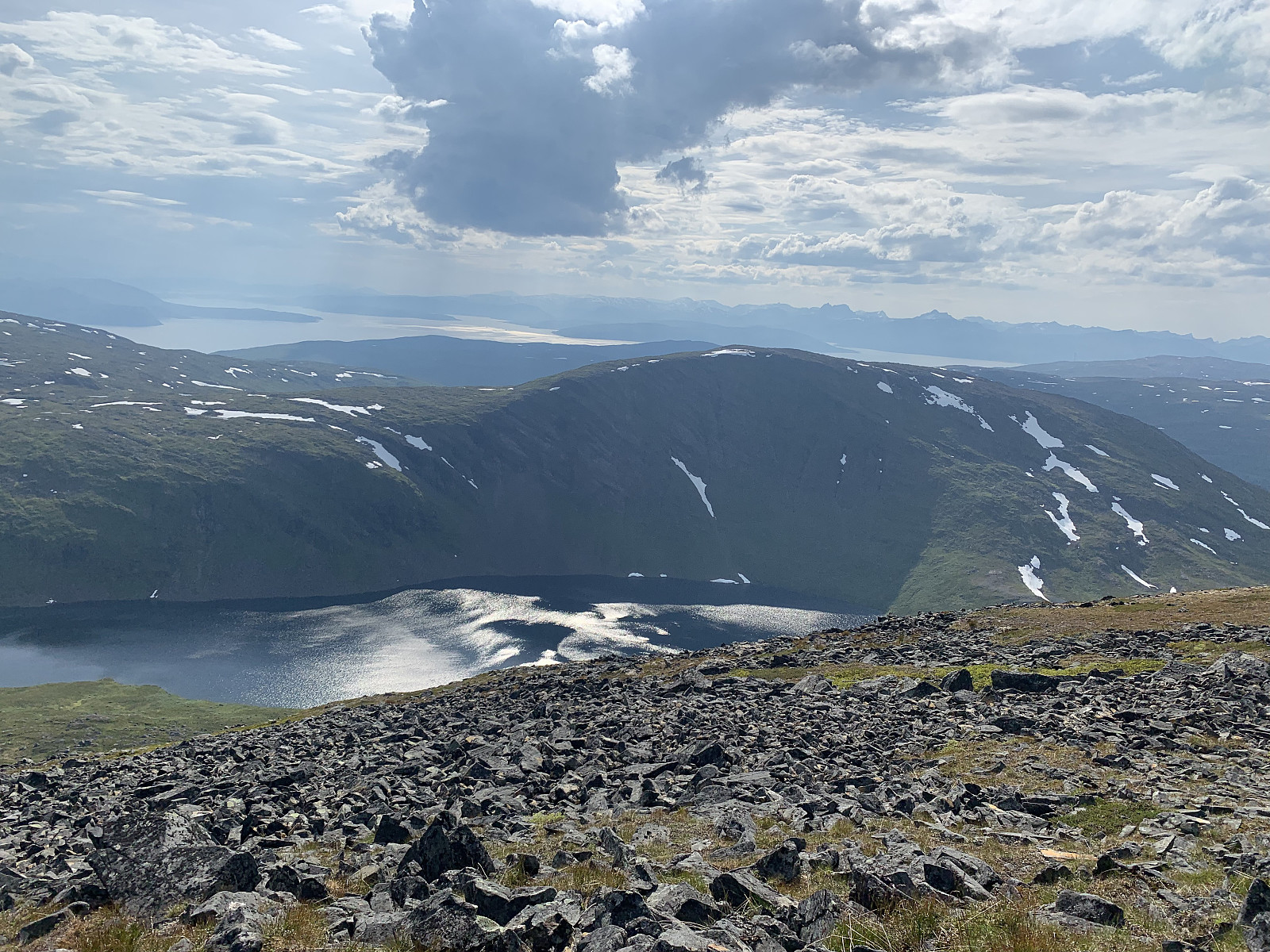
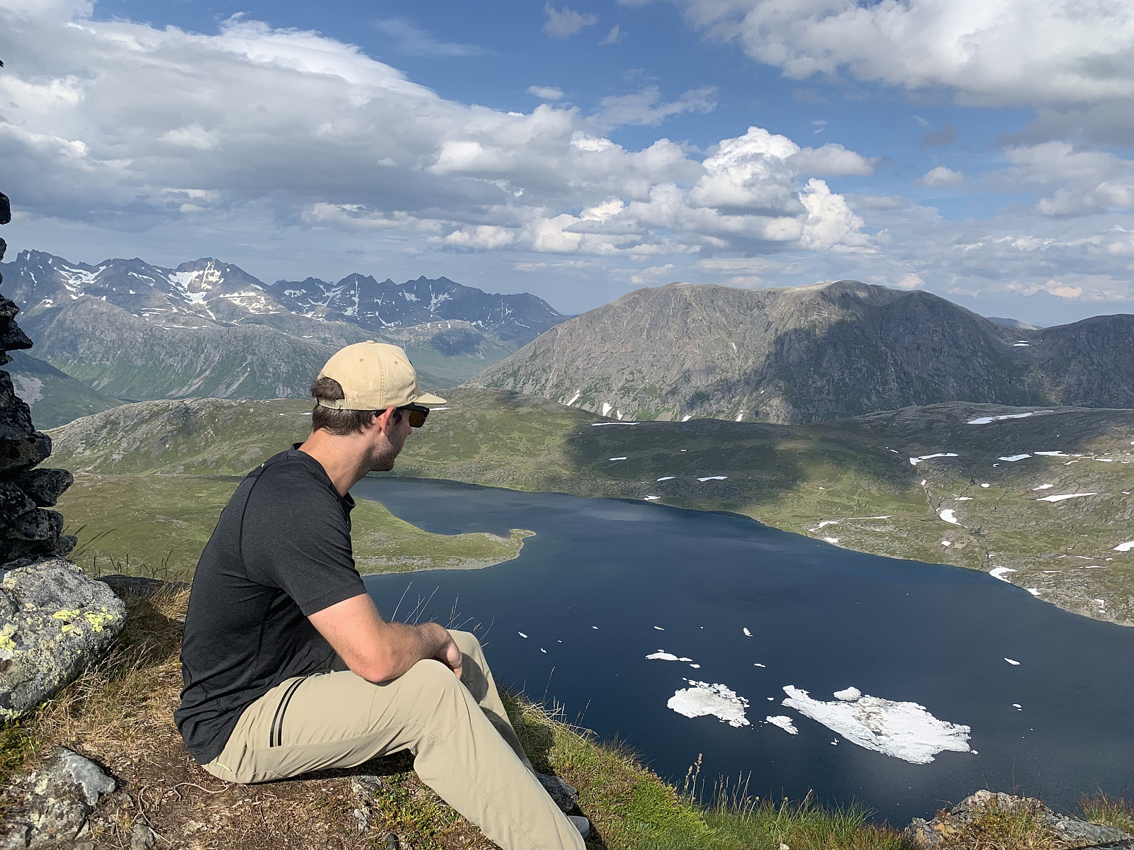
A lovely afternoon hike with Morgan. Parked by the side of where the trail starts on Norgeskart and followed the left hand side of the river up. Great, easily trodden terrain though once we came to the lake it was difficult to follow the unmarked trail up the ridge. We followed the general direction on Norgeskart and encountered the trail on/off again. Walked too fast to talk much on the way up, but the descent was a social one with variable luck following the trail. GPS track looks like I had wine in my camelback and not water ;) Great views over to Vasstinden and Kattfjordeidet. Thanks for great company Morgan!

Here the trail goes to the left before weaving back to the right up to the top
Finnkollen, where we got stuck in a white out in winter
Morgan enjoying the view

User comments

Comment title:
Characters left: 1000
Comment text:
You need to be logged in to write comments.